The best gravel rides around Comox Valley B (Lazo North)
4.8
(7)
44
riders
5
rides
Gravel biking around Comox Valley B (Lazo North) offers diverse landscapes, from extensive forest service roads to multi-use trails. The region features lush forests, significant climbs towards areas like Forbidden Plateau and the Beaufort range, and unique coastal and wetland environments. Riders can expect varied terrain, including hard-packed dirt and challenging rocky sections, with elevations reaching over 1,000 meters. This area provides a network of routes suitable for different skill levels, connecting natural features such as Lazo Marsh and the broader Comox Valley.
Best gravel bike trails around Comox Valley B (Lazo North)
- The most popular gravel bike trail is Duncan Bay Mainline – One Spot Trailhead loop from Courtenay, a 53.9 miles (86.8 km) trail that takes 8 hours to complete. This challenging route features over 1,000 meters of elevation gain.
- Another top favourite among local gravel bikers is One Spot Trailhead – Courtenay Airpark loop from Courtenay, a moderate 15.1 miles (24.3 km) path. This route offers a less strenuous ride with over 180 meters of elevation.
- Local gravel bikers also love the One Spot Trailhead – Medicine Bowls Trail loop from Courtenay, a 24.6 miles (39.6 km) trail leading through forested areas, often completed in about 2 hours 48 minutes.
- Gravel biking around Comox Valley B (Lazo North) is defined by extensive forest service roads, lush woodlands, and coastal paths. The network offers options for various ability levels, from moderate loops to difficult, long-distance adventures.
- The routes in Comox Valley B (Lazo North) are highly rated by the komoot community with an average score of 4.2 stars from over 10 reviews. More than 60 gravel bikers have used komoot to explore Comox Valley B (Lazo North)'s varied terrain.
Last updated: August 27, 2026
4.7
(6)
23
riders
59.6km
03:56
510m
510m
Hard gravel ride. Very good fitness required. Mostly paved surfaces. Suitable for all skill levels.
5.0
(1)
6
riders
24.2km
01:34
180m
180m
Moderate gravel ride. Good fitness required. Mostly paved surfaces. Suitable for all skill levels.

Sign up for free
3
riders
39.3km
02:49
680m
680m
Hard gravel ride. Very good fitness required. Mostly paved surfaces. Suitable for all skill levels.
7
riders
86.9km
06:31
1,000m
1,000m
Hard gravel ride. Very good fitness required. Mostly paved surfaces. Suitable for all skill levels.
5
riders
52.4km
03:50
530m
530m
Hard gravel ride. Very good fitness required. Mostly paved surfaces. Suitable for all skill levels.
Our route recommendations are based on thousands of hikes, rides, and runs completed by other people on komoot.
Start today with a free account
Your next adventure awaits.
Login or Signup
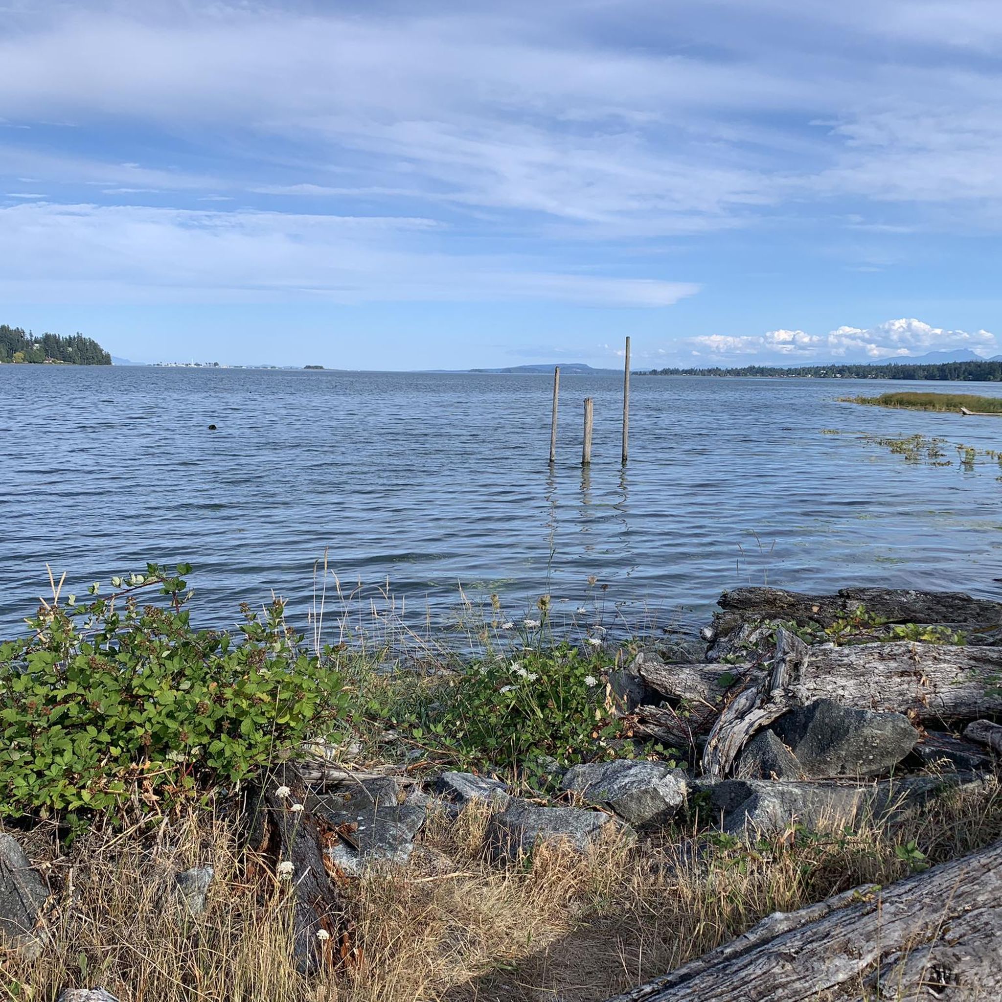
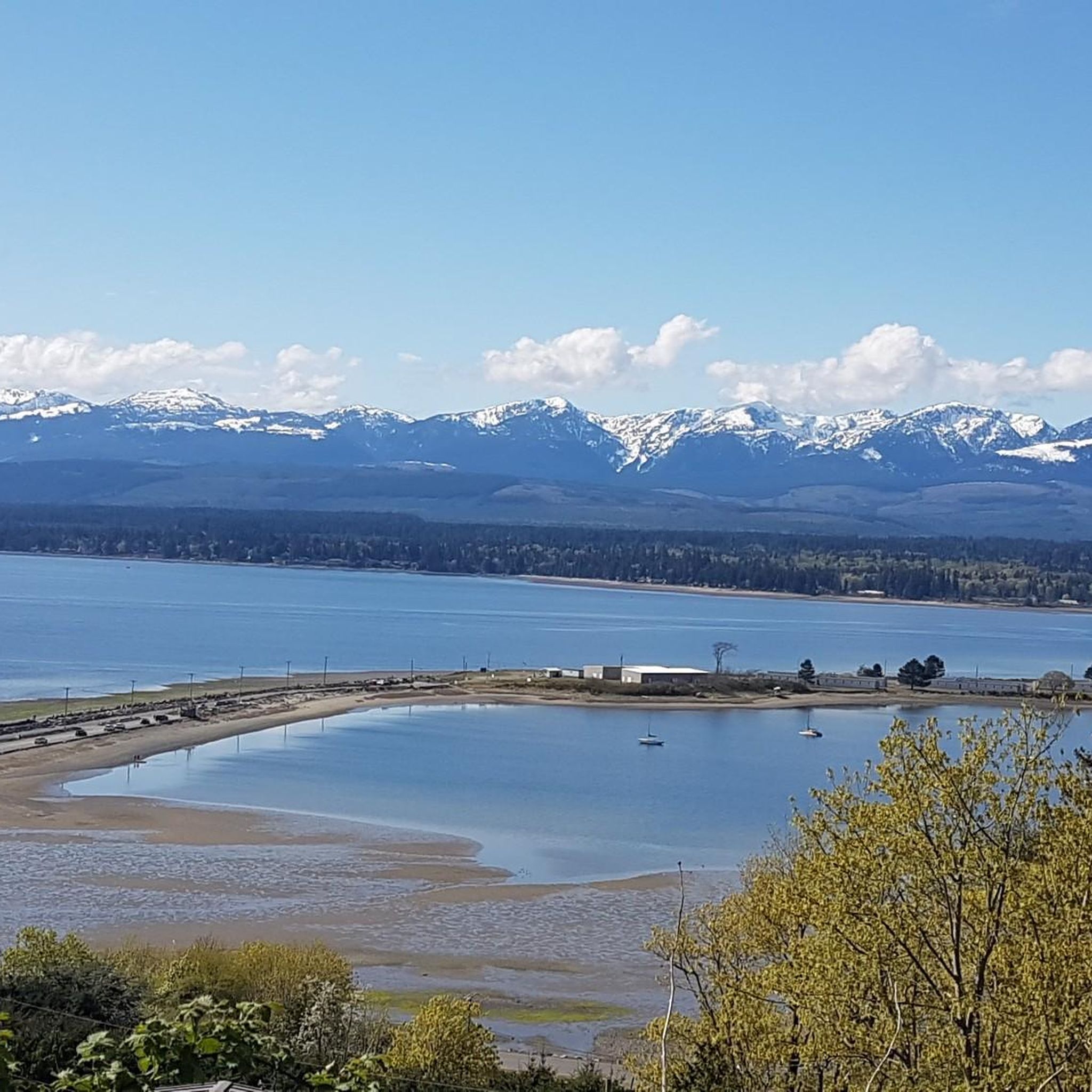
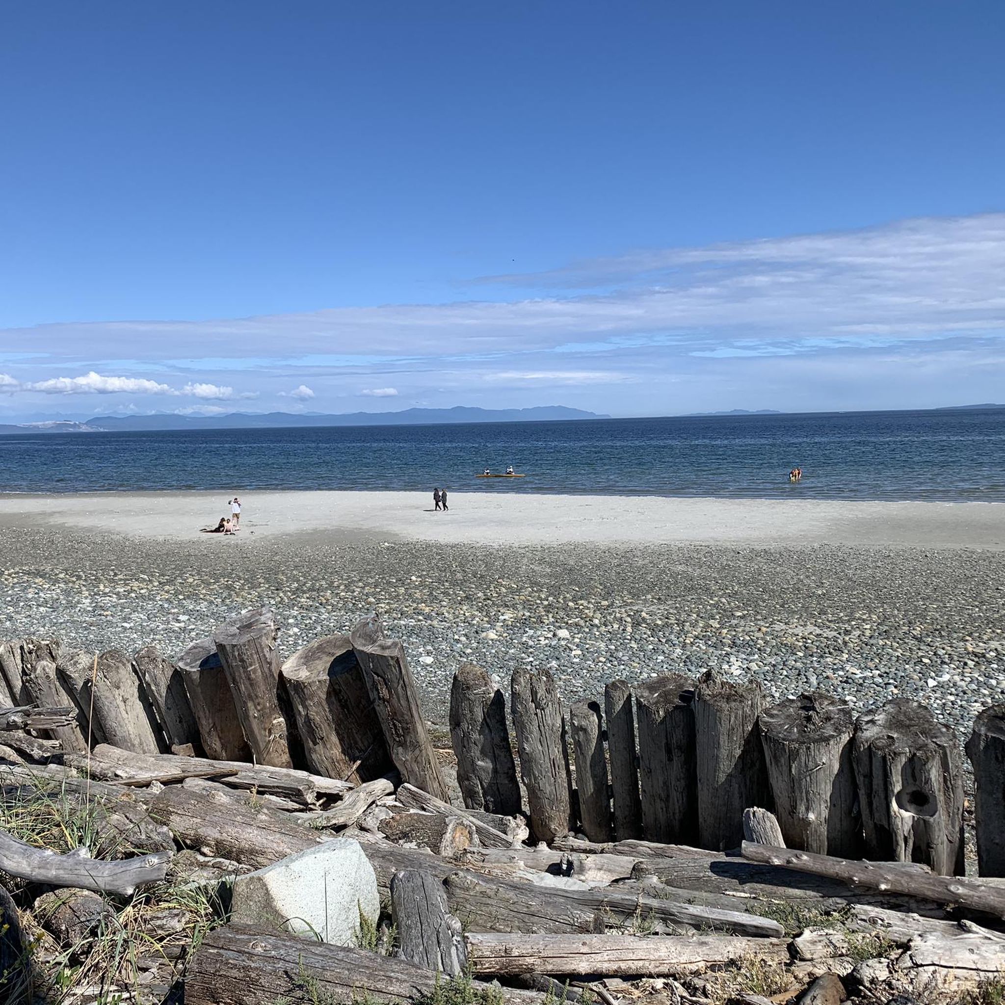
Tips from the Community

The Hazy Pale and the IPA are among the best on the island
0
0
This is an active logging road...be aware, listen, and be prepared for a lot of dust if it's the dry season
0
0

There are a bunch of seaplanes and other small aircraft that are usually parked along the fence opposite the Riverway Path. You can check them out as you pass by.
0
0
This path takes you through Courtenay's urban area, partially sheltered on either side by strips of greenery, between downtown and the riverfront. You share the path with cyclists, but the trail is paved and divided to ease multi-use traffic.
0
0

Cumberland Community Forest stretches more than 500 acres, and is mostly second-growth coastal forest with a web of well-maintained trails. These trails are open to hiking, mountain biking, trail running.
0
0

You can also grab a coffee and take it down to one of the picnic tables along Marine Drive. A great place to look across towards Comox Marina and Goosespit.
0
0

Cool little airport that has some interesting aircraft to check out.
0
0
Frequently Asked Questions
How many gravel bike trails are available in Comox Valley B (Lazo North)?
Comox Valley B (Lazo North) offers several gravel biking routes, with komoot featuring 8 distinct tours. These range from moderate to difficult, providing options for various skill levels.
Are there any easy or moderate gravel bike trails suitable for beginners in the area?
Yes, there are moderate options available. For instance, the One Spot Trailhead – Courtenay Airpark loop from Courtenay is a moderate 24.3 km path with over 180 meters of elevation, offering a less strenuous ride.
What kind of terrain can I expect on gravel bike trails in Comox Valley B (Lazo North)?
The region offers diverse terrain, from hard-packed dirt to challenging, rocky sections. You'll encounter extensive forest service roads, multi-use trails, and paths through lush forests, with significant climbs towards areas like Forbidden Plateau and the Beaufort range.
Are there any scenic viewpoints or natural attractions along the gravel routes?
Absolutely. The Comox Valley boasts a rich natural environment. You might encounter areas near the unique Lazo Marsh - North East Comox Conservation Area, known for its diverse wildlife. Other nearby attractions include Nymph Falls, Seal Bay Nature Park, and Kye Bay.
What is the most challenging gravel bike route in Comox Valley B (Lazo North)?
The most challenging route featured is the Duncan Bay Mainline – One Spot Trailhead loop from Courtenay. This demanding 86.8 km trail involves over 1,000 meters of elevation gain and typically takes around 8 hours to complete.
Are there any loop trails for gravel biking in the area?
Yes, many of the gravel routes in Comox Valley B (Lazo North) are designed as loops. Examples include the Courtenay Airpark – Cumberland Brewing Co. loop from Cumberland and the One Spot Trailhead – Medicine Bowls Trail loop from Courtenay.
What do other gravel bikers say about the trails in Comox Valley B (Lazo North)?
The routes in Comox Valley B (Lazo North) are highly rated by the komoot community, with an average score of 4.2 stars from over 10 reviews. Riders often praise the diverse terrain, from extensive forest service roads to challenging climbs, and the variety of options for different skill levels.
Is the Lazo Greenway Multi-Use Path suitable for gravel biking?
The Lazo Greenway Multi-Use Path, once fully completed, will offer a mix of gravel and asphalt sections. It's designed to connect areas like Goose Spit, Lazo Marsh, and Point Holmes, providing safer options for cyclists and walkers, making it suitable for gravel bikes on its unpaved sections.
Are there any routes that connect to the Cumberland trail network?
Yes, some routes in the broader Comox Valley area link to the extensive Cumberland network of trails. The 'Forbidden Gravel Experience' event, for example, showcases routes that ascend Forbidden Plateau and connect to the Cumberland network around the Beaufort range.
What is the best time of year for gravel biking in Comox Valley B (Lazo North)?
The Comox Valley benefits from a Mediterranean climate, making it suitable for year-round outdoor activities. However, for optimal conditions, late spring through early fall generally offers drier trails and more predictable weather. Always check local weather conditions before heading out.
Are there any specific trails known for good descents?
Yes, Trent Main is described as a well-maintained gravel road that's excellent for descents, offering a smoother ride compared to other chunkier options in the region.
Most popular routes around Comox Valley B (Lazo North)
Most popular attractions around Comox Valley B (Lazo North)

Get inspired with the komoot mobile app


Explore more
Browse the best Gravel rides in other regions.
