The best gravel rides around Sainte-Anne-de-la-Rochelle
3.9
(11)
57
riders
5
rides
Gravel biking around Sainte-Anne-de-la-Rochelle offers a rural setting within Quebec's Estrie region, characterized by picturesque countryside and varied terrains. The area features a mix of mostly paved and gravel surfaces, providing diverse cycling opportunities. Cyclists can navigate through agricultural landscapes and rolling hills, with routes ranging from short excursions to more challenging, longer rides. The region's natural environment supports outdoor activities suitable for various fitness levels.
Best gravel bike trails around Sainte-Anne-de-la-Rochelle
- The most popular gravel bike trail is Yamaska…
Last updated: August 27, 2026
4.5
(8)
13
riders
39.5km
02:02
190m
190m
Moderate gravel ride. Good fitness required. Mostly paved surfaces. Suitable for all skill levels.
1.0
(1)
15
riders
45.1km
03:08
580m
580m
Hard gravel ride. Very good fitness required. Mostly paved surfaces. Suitable for all skill levels.

Sign up for free
10
riders
Moderate gravel ride. Good fitness required. Mostly paved surfaces. Suitable for all skill levels.
5.0
(1)
7
riders
50.7km
03:03
450m
450m
Hard gravel ride. Very good fitness required. Mostly paved surfaces. Suitable for all skill levels.
3
riders
41.0km
02:59
360m
360m
Moderate gravel ride. Good fitness required. Mostly paved surfaces. Suitable for all skill levels.
Our route recommendations are based on thousands of hikes, rides, and runs completed by other people on komoot.
Start today with a free account
Your next adventure awaits.
Login or Signup

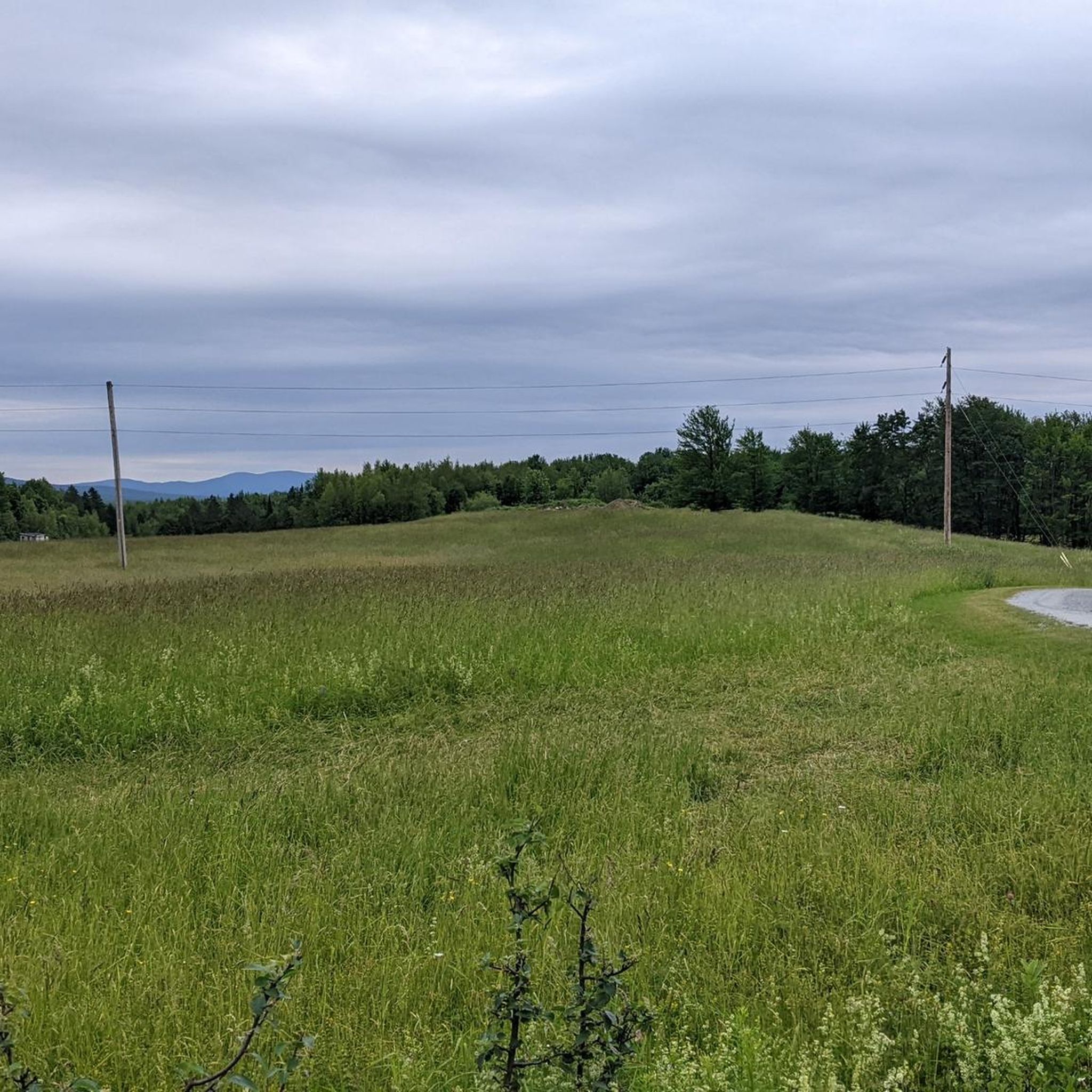

Tips from the Community

Magnificent bridges... Pedestrians first...
0
0

You can follow this well-maintained crushed gravel trail along the north shore of the campground with views to the water and good trail access.
0
0

Splendid place!
0
0

Very nice outing to recommend 😊
0
0
Nice space, friendly staff, great food and coffee/matcha
0
0

Magnificent circuit along a watercourse
0
0
Frequently Asked Questions
How many gravel bike trails are available in Sainte-Anne-de-la-Rochelle?
There are 5 gravel bike trails around Sainte-Anne-de-la-Rochelle listed in this guide, offering a range of experiences from easy to difficult. These routes provide diverse cycling opportunities through the region's picturesque countryside.
What kind of terrain can I expect on gravel bike trails in Sainte-Anne-de-la-Rochelle?
The terrain around Sainte-Anne-de-la-Rochelle is characterized by a mix of mostly paved and gravel surfaces, rural roads, and rolling hills. You'll navigate through agricultural landscapes and charming countryside, with some routes featuring significant elevation gain for a challenging ride.
Are there any easy gravel bike trails suitable for beginners or families?
Yes, there is 1 easy gravel bike trail listed in this guide. The Savonnerie des Diligences Café – Le P'tit Creux (P.C. 4) loop from Haut Bois Normand is a 10.1-mile (16.3 km) route that leads through the local countryside, perfect for a more relaxed ride.
Which gravel routes offer significant elevation gain for experienced riders?
For experienced riders seeking a challenge, the region offers 3 difficult routes. The Thirsty Boot loop from Stationnement VR is a 28.0-mile (45.1 km) path featuring significant elevation gain, traversing varied terrain. Another challenging option is the Thirsty Boot – Brome Lake Books loop from Stukely-Sud, which covers 31.5 miles (50.7 km) with considerable climbing.
What are some notable landmarks or natural features I might see along the trails?
Many routes offer scenic views of the rural Quebec landscape. For instance, the Yamaska River Bridge – Yamaska National Park loop from Waterloo passes near Yamaska National Park and crosses the Yamaska River Bridge. The area's pastoral scenery also includes agricultural businesses like Jardins Zone Orange, known for sea buckthorn cultivation.
Are there any loop trails for gravel biking in Sainte-Anne-de-la-Rochelle?
Yes, all the gravel bike trails listed in this guide are loop routes, allowing you to start and end your ride at the same point. This includes options like the Robin Bière Naturelle – Robin Bière Naturelle loop from Canton de Shefford, a moderate 20.8-mile (33.5 km) ride.
What is the best time of year for gravel biking in Sainte-Anne-de-la-Rochelle?
The Estrie region, where Sainte-Anne-de-la-Rochelle is located, is ideal for outdoor activities during spring, summer, and fall. Cyclists can enjoy the picturesque countryside and varied terrains. It's important to note that pedestrian trails in the municipality may temporarily close during spring thaw for safety, which could affect some gravel paths.
Are there any options for food or drink along the gravel routes?
Some routes pass by local establishments. For example, the Savonnerie des Diligences Café – Le P'tit Creux (P.C. 4) loop from Haut Bois Normand specifically mentions a café, suggesting opportunities for a break and refreshment during your ride.
What do other gravel bikers say about the trails in Sainte-Anne-de-la-Rochelle?
The gravel biking routes in Sainte-Anne-de-la-Rochelle are highly rated by the komoot community, with an average score of 3.5 stars from more than 10 reviews. Over 50 gravel bikers have used komoot to explore the area, often praising the picturesque countryside, rural roads, and rolling hills that define the region's cycling experience.
Is there parking available for gravel bikers in Sainte-Anne-de-la-Rochelle?
While specific parking locations for each trail are not detailed here, many routes are designed as loops starting from accessible points. For instance, the Thirsty Boot loop from Stationnement VR explicitly mentions starting from a 'Stationnement VR' (RV Parking), indicating designated parking facilities may be available near trailheads.
How long do the gravel bike routes typically take to complete?
The duration of the gravel bike routes varies significantly based on their length and difficulty. You can find shorter excursions like the Savonnerie des Diligences Café – Le P'tit Creux (P.C. 4) loop from Haut Bois Normand, which takes about 1 hour 4 minutes, to more challenging rides like the Thirsty Boot loop from Stationnement VR, which can take over 3 hours.
Most popular attractions around Sainte-Anne-de-la-Rochelle

Get inspired with the komoot mobile app


Explore more
Browse the best Gravel rides in other regions.
