The best gravel rides around Peapack-Gladstone
4.7
(28)
379
riders
30
rides
Gravel biking around Peapack-Gladstone offers routes through northern Somerset County, New Jersey. The region is characterized by rolling hills, extensive wooded areas, and preserved open spaces, providing varied terrain for gravel cyclists. Unpaved roads and paths wind through pastoral farmland and alongside pristine trout streams, offering a mix of challenging climbs and scenic descents. This landscape provides a robust setting for outdoor activities, including gravel biking.
Best gravel bike trails around Peapack-Gladstone
- The most popular gravel bike trail is Bridge…
Last updated: August 21, 2026
5.0
(9)
91
riders
45.3km
02:57
350m
350m
Moderate gravel ride. Good fitness required. Mostly paved surfaces. Suitable for all skill levels.
32
riders
92.0km
05:33
960m
960m
Hard gravel ride. Very good fitness required. Mostly paved surfaces. Suitable for all skill levels.

Sign up for free
14
riders
44.7km
02:50
510m
510m
Hard gravel ride. Very good fitness required. Mostly paved surfaces. Suitable for all skill levels.
17
riders
80.6km
05:06
1,190m
1,190m
Hard gravel ride. Very good fitness required. Mostly paved surfaces. Suitable for all skill levels.
13
riders
127km
08:20
1,420m
1,420m
Hard gravel ride. Very good fitness required. Mostly paved surfaces. Suitable for all skill levels.
Get access to more routes and recommendations from other explorers.
Sign up for free
Already have an account?
Our route recommendations are based on thousands of hikes, rides, and runs completed by other people on komoot.
Start today with a free account
Your next adventure awaits.
Login or Signup

Tips from the Community

Pretty rugged uphill dirt road. I walked my bike up much of it. Very scenic though!
0
0

The old train station was built in the late 1800s for the Central Railroad of New Jersey. Today, it serves as a hub for the Califon Historical Society and access point for the Columbia Rail Trail. Supposedly, the name Califon comes from a shortening of "California", since the painter creating the station map didn't leave enough room for the original title.
0
0

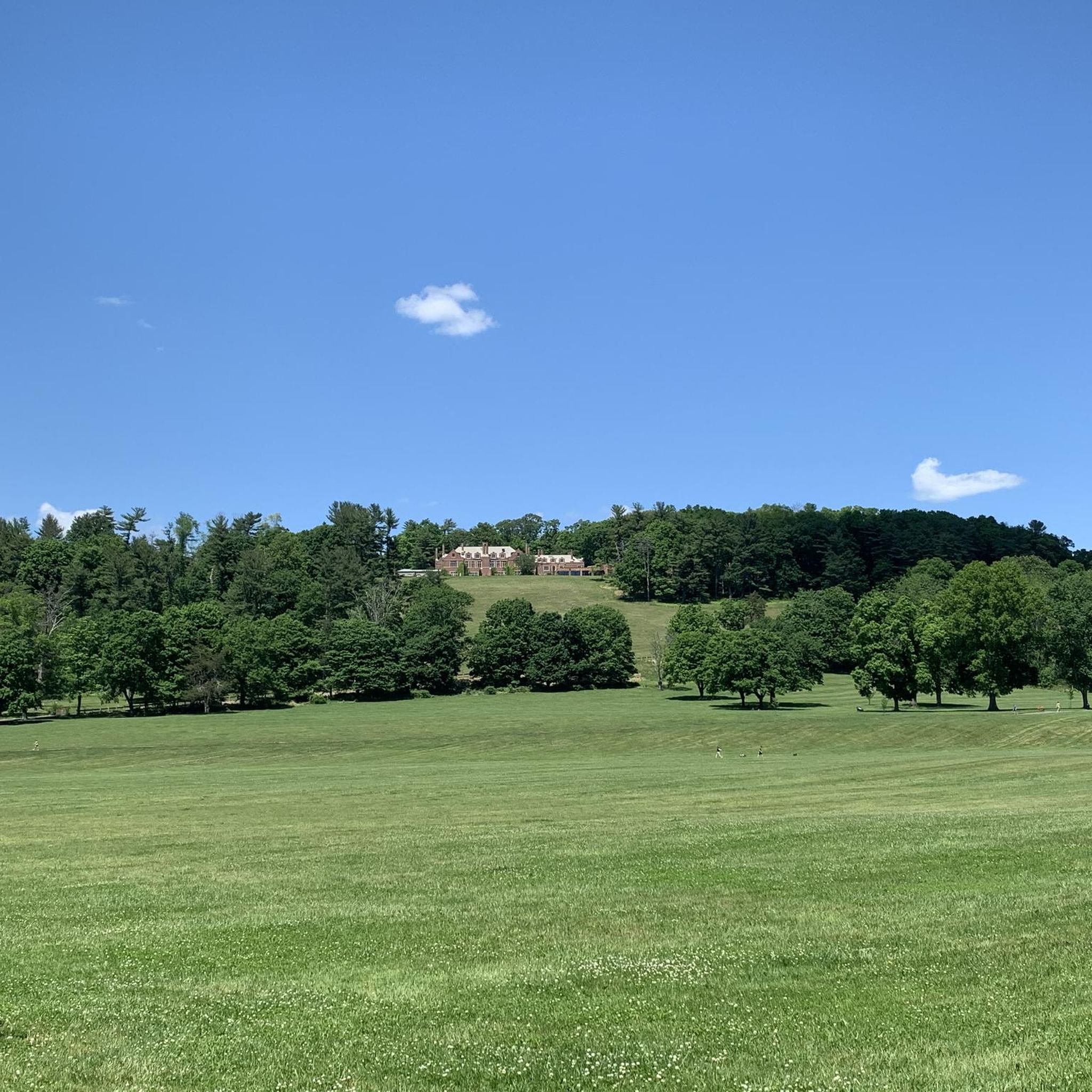
Only a few parking spots, but a beautiful area in all directions.
0
0
A packed dirt road takes you along the Raritan River at the sheltered base of the gorge. There are plenty of spots to park as you head in from Readingsburg, but most of the road is closed to vehicle traffic and makes for the perfect bike route. You are right next to the water and can bike along both sides of the gorge.
0
0

The Columbia Trail is a gorgeous Greenway along the South Branch Raritan River from this trail head to High Bridge, almost 15.5 miles to the south. Absolutely incredible views all the way through, autumn could be the best time to enjoy the trail. This parking at the northern trailhead isn't very big, but a couple of cars can fit in it.
0
0

Despite the physical absence of the Rockaway Valley Railroad, its legacy lives on in the Washington Valley Trail and the memories it evokes. While the railroad ties and structures may have vanished, the spirit of the journey remains. The quiet beauty of the trail, reclaimed by nature, offers a unique opportunity for reflection and appreciation.
0
0

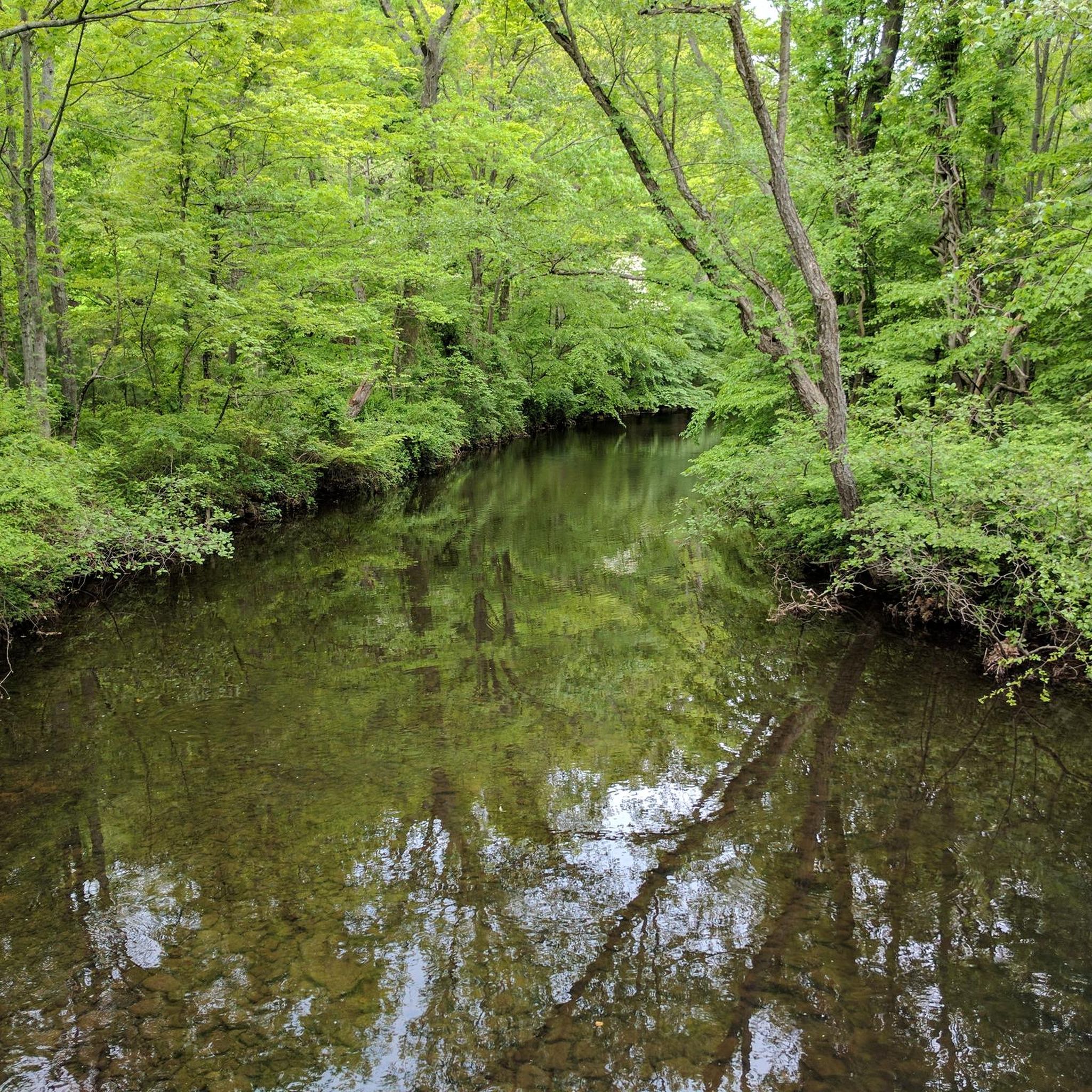
Explore the captivating Ken Lockwood Gorge within the 500-acre Ken Lockwood Wildlife Management Area. This picturesque landscape, adorned with towering hemlocks along steep walls, creates an isolated and serene atmosphere. Immerse yourself in the beauty of the 2.5-mile stretch of the South Branch of the Raritan River, featuring cascading waters, small waterfalls, and tranquil pools—an enchanting experience, especially in the vibrant spring season.
0
0

The Columbia Trail is a 16.5-mile paved multi-use trail that travels through Morris and Hunterdon counties along the South Branch Raritan River.
0
0
Frequently Asked Questions
What kind of terrain can I expect on gravel bike trails around Peapack-Gladstone?
The Peapack-Gladstone area is characterized by rolling hills, extensive wooded areas, and preserved open spaces. You'll find varied terrain including unpaved roads through pastoral farmland, paths alongside pristine trout streams, and sections with challenging climbs and scenic descents. The region's natural beauty, with its 'leafy green, historic town nestled in a quiet eddy of the beautiful hills,' provides a picturesque backdrop for gravel biking.
Are there any easy gravel bike routes for beginners in Peapack-Gladstone?
While many routes in the area are moderate to difficult, there is at least one easy gravel bike trail available. For those looking for a less strenuous ride, you can find options that navigate through the region's open spaces and along quieter paths. Overall, komoot lists 20 gravel tours in the area, with 1 classified as easy, 8 as moderate, and 11 as difficult.
What are some popular longer gravel bike loops in the region?
For a longer, challenging ride, consider the Bridge over North Branch River – Califon Train Station loop from Far Hills. This difficult 57.8-mile (93.1 km) trail leads through river valleys and rural landscapes, typically taking around 7 hours 38 minutes to complete.
Can I find gravel routes that pass through horse country or offer pastoral views?
Yes, the region is known for its horse farms and open farmlands. The Horse country – Bridge over North Branch River loop from Far Hills is a difficult 34.6-mile (55.7 km) path specifically designed to navigate through horse country, offering beautiful pastoral views and challenging sections.
Are there any gravel routes that include state parks or natural attractions?
Absolutely. You can explore routes that incorporate natural attractions like Hacklebarney State Park. For instance, the Gravel loop from Hacklebarney State Park is a moderate 24.5-mile (39.4 km) ride that offers a great way to experience the park's surroundings. Hacklebarney State Park itself is a beautiful forest highlight.
What do other gravel bikers say about the trails in Peapack-Gladstone?
The gravel biking routes around Peapack-Gladstone are highly regarded by the komoot community, holding an average rating of 4.6 stars from more than 10 reviews. Over 200 gravel bikers have used komoot to explore the varied terrain, often praising the quiet woodlands, scenic views, and the mix of challenging and enjoyable sections.
Are there any notable natural landmarks or points of interest near the gravel trails?
Yes, the area boasts several natural highlights. You might encounter Osborn Pond or Sunrise Lake. The broader region also includes significant natural areas like the Great Swamp National Wildlife Refuge and Lewis Morris County Park, which are popular for outdoor activities.
How many gravel bike trails are available in the Peapack-Gladstone area?
There are 20 gravel bike tours documented on komoot for the Peapack-Gladstone area. These routes offer a diverse range of experiences, from moderate loops to more challenging, longer rides through the region's distinctive landscapes.
Are there any particularly challenging gravel routes for experienced riders?
For experienced riders seeking a challenge, the Califon Train Station – Ken Lockwood Gorge loop from Peapack is a difficult 80.5-mile (129.5 km) route with significant elevation gain, typically taking over 6 hours to complete. This trail offers a demanding ride through varied terrain.
What is the best time of year for gravel biking in Peapack-Gladstone?
Given the region's rolling hills, dense woodlands, and open farmlands, spring and fall are generally ideal for gravel biking in Peapack-Gladstone. The weather is typically milder, and the natural scenery, whether blooming or displaying autumn colors, is at its most vibrant. Summer can also be pleasant, though riders should be prepared for warmer temperatures and potential humidity.
Are there any circular gravel bike routes available?
Yes, many of the gravel routes in the Peapack-Gladstone area are designed as loops, allowing you to start and finish at the same point. An example is the popular Bridge over North Branch River loop from Far Hills, a moderate 31.2-mile (50.2 km) trail that takes you through varied terrain in about 4 hours and 13 minutes.
Where can I find more information about the Peapack-Gladstone region?
For additional information about the Peapack-Gladstone area and its attractions, you can visit the Somerset County tourism website: visitsomersetnj.org. This can provide context on local amenities and other points of interest.
Most popular routes around Peapack-Gladstone
Most popular attractions around Peapack-Gladstone

Get inspired with the komoot mobile app


Explore more
Browse the best Gravel rides in other regions.
