The best gravel rides around Lake Oswego
5.0
(1)
93
riders
2
rides
Gravel biking around Lake Oswego features diverse landscapes, including urban pathways, forested natural areas, and scenic routes along the Willamette River and Oswego Lake. The region is characterized by hilly terrain and varied surfaces, from paved sections to unpaved singletrack and gravel roads. Many routes involve significant elevation gains, providing challenging experiences for riders.
Best gravel bike trails around Lake Oswego
- The most popular gravel bike trail is Leif Erikson Drive – Northwest Leif Erikson Drive loop from South Waterfront/South…
Last updated: July 25, 2026
20
riders
Hard gravel ride. Very good fitness required. Mostly paved surfaces. Suitable for all skill levels.
5.0
(1)
9
riders
Hard gravel ride. Very good fitness required. Mostly paved surfaces. Suitable for all skill levels.

Sign up for free
3
riders
57.4km
03:48
1,190m
1,190m
Hard gravel ride. Very good fitness required. Mostly paved surfaces. Suitable for all skill levels.
5
riders
62.2km
03:59
1,210m
1,210m
Hard gravel ride. Very good fitness required. Mostly paved surfaces. Suitable for all skill levels.
Our route recommendations are based on thousands of hikes, rides, and runs completed by other people on komoot.
Start today with a free account
Your next adventure awaits.
Login or Signup
Tips from the Community

Council Crest Park spans 43 acres and is 1,073 feet above sea level, one of Portland's highest points. Visitors can enjoy city views and see five Cascade peaks: Mount Hood, Mount St. Helens, Mount Adams, Mount Jefferson, and Mount Rainier.
1
0

One of two access points for Northwest Firelane 15 Road. The fire road is a well maintained gravel road, but it is still advisable to have wider tires.
0
0

The Broadway Bridge was built in 1913. It was originally black, but was repainted red in 1963.
1
0

The Pittock Mansion grounds are open to the public at no cost and make a fantastic stopping point during a run. There are public restrooms, drinking water, and stunning views of Portland that you won’t want to miss. You can also park here and take the Wildwood Trail in both directions.
0
0

You can follow the Greenway for about two miles along the bank of the Willamette through downtown Portland. The trail takes you right along the water and is shared with hikers and dog walkers. The trail passes through a couple nice riverside parks and connects to plenty of other great cycling paths and roads.
0
0

Cedar Mill Falls is a lovely waterfall that can be easily accessed through a wooden platform from Northwest Cornell Road. The falls are very picturesque and it can be a nice place to stop by while cycling. The platform system is very short but it does have stairs, so you might need to walk with the bike in small sections.
0
0

The land alongside this stretch of road is a mix of dense Douglas fir forest and private property. Watch out for deer! If you're feeling triathlon-y, there are some hiking/running trails that wind into the forest too.
0
0

This trail is a classic in Forest Park. It is popular with runners as well as walkers and cyclists. The trail is well maintained and runs through the forest from start to end, which makes it a great option for hot days.
1
0
Frequently Asked Questions
What kind of terrain can I expect on gravel bike trails around Lake Oswego?
Gravel routes in Lake Oswego offer a diverse mix of surfaces, including paved sections, unpaved singletrack, and varied gravel conditions. You'll encounter hilly terrain and forested areas, with some trails featuring steep segments that may require advanced riding skills or even dismounting. Many routes wind through lush forests, providing a sense of being 'out in the sticks' even within the city.
Are there challenging gravel bike routes in Lake Oswego?
Yes, Lake Oswego is known for its challenging gravel routes, often featuring significant elevation gains. For instance, the Leif Erikson Drive – Northwest Leif Erikson Drive loop from PSU South/Southwest 6th & College is a difficult 42.2-mile trail with over 1400 meters of elevation gain, leading through forested areas and along challenging inclines. All 7 of the gravel tours listed in this guide are rated as difficult.
What natural features or viewpoints can I see along the gravel bike trails?
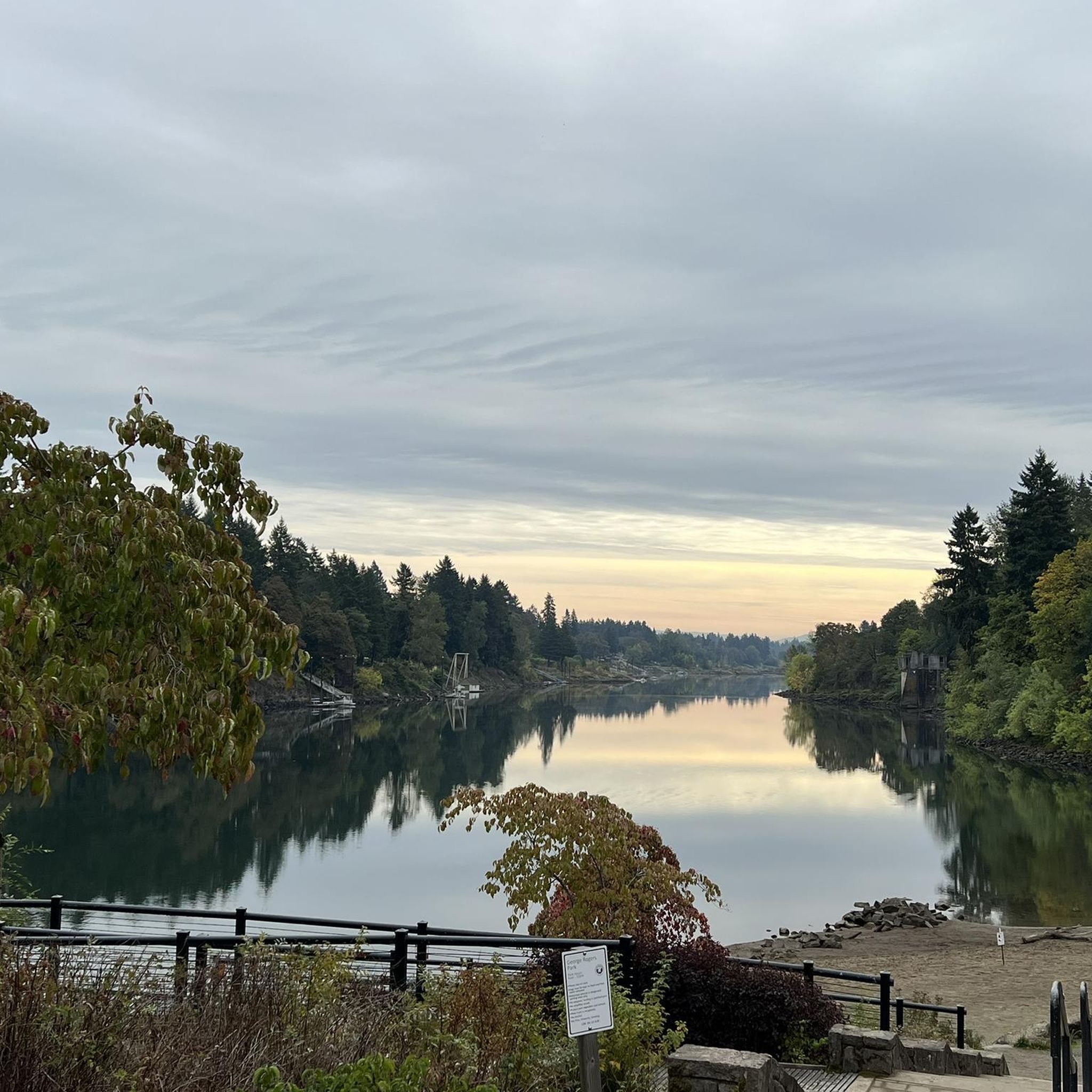
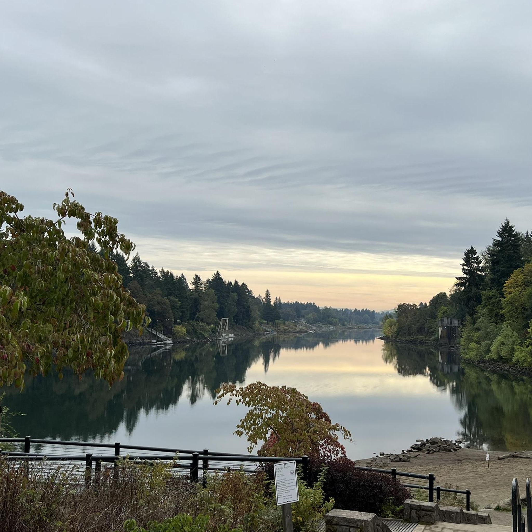
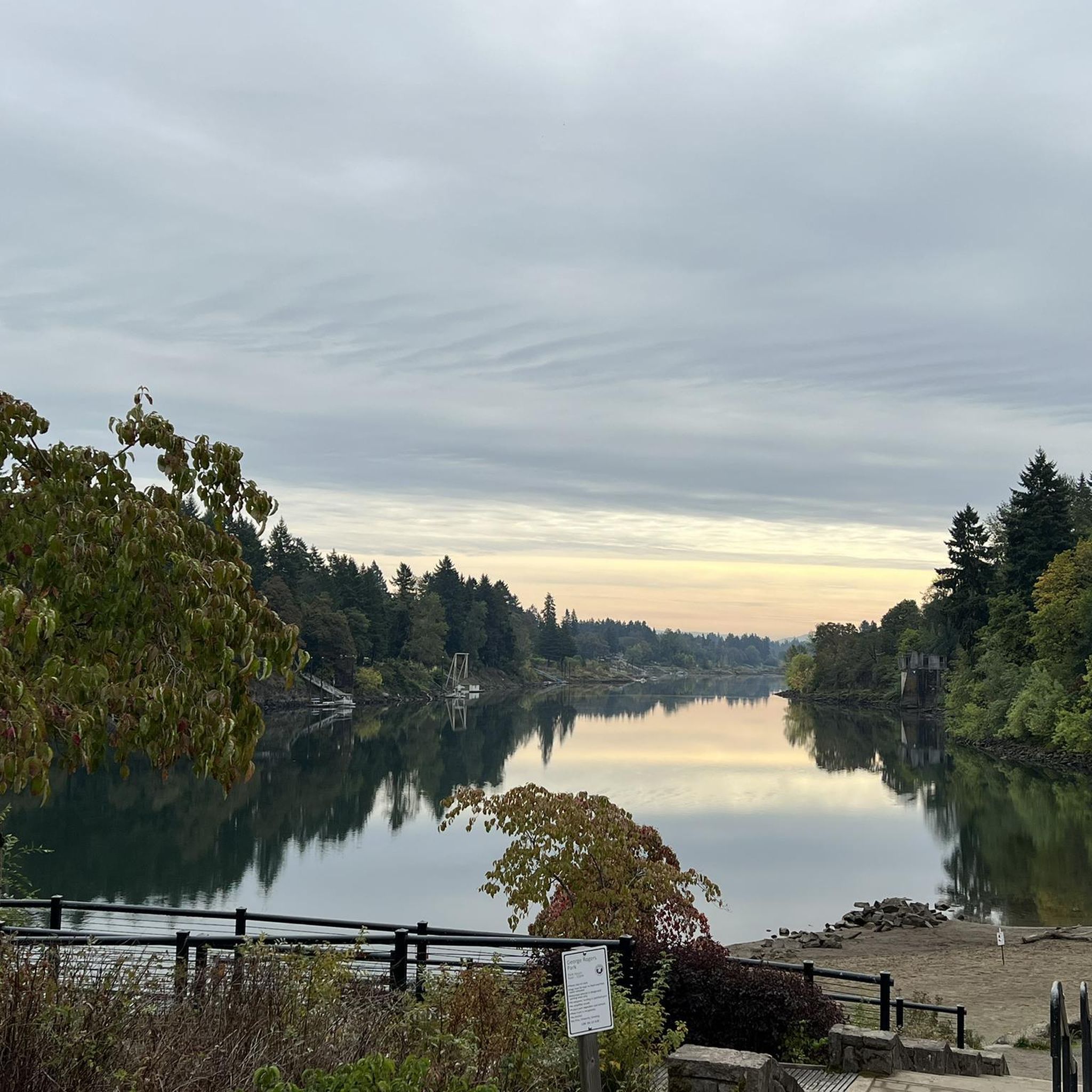
Many routes offer scenic views of Oswego Lake and the Willamette River. You can also explore extensive park systems like George Rogers Park, Iron Mountain Park, and Cooks Butte, which provide diverse trails and opportunities to observe wildlife. Iron Mountain Park's summit offers panoramic views of Lake Oswego and the Cascade Range. Additionally, you might encounter highlights such as the Clackamas River or Council Crest.
Are there any family-friendly gravel biking options in Lake Oswego?
While many routes in this guide are rated as difficult, Lake Oswego does offer interconnected paved pathways that link neighborhoods with schools, parks, and commercial centers, which can be suitable for families. For a more relaxed ride, the Old River Road Pathway along the Willamette River, starting from George Rogers Park, is mostly level and picturesque. The Springwater Corridor Trail, accessible from areas like Oaks Bottom Wildlife Refuge, also offers varied surfaces and is part of Portland's wider 40-mile Loop trail system, providing options for different ability levels.
Can I bring my dog on the gravel bike trails in Lake Oswego?
Lake Oswego has numerous parks and natural areas with trails, and many are dog-friendly, though leash laws typically apply. It's always best to check specific park regulations before heading out. For example, Tryon Creek State Natural Area offers meandering trails through woodlands that are popular with dog walkers, and some gravel routes may pass through similar areas.
What is the best time of year for gravel biking in Lake Oswego?
Lake Oswego's diverse landscapes make it suitable for gravel biking across multiple seasons. The region experiences varied weather, so checking local forecasts is always recommended. Spring and fall generally offer pleasant temperatures and beautiful scenery. While winter riding is possible, be prepared for potentially wet and muddy conditions, especially on unpaved sections.
Are there any unique features on Lake Oswego's gravel routes?
Yes, some routes offer unique experiences. For example, the 'Lake Oswego: Trails & Tunnels' route (not listed in this guide but a local favorite) features a ride through a dark train tunnel under Dunthorpe, requiring lights. The Quarry Bicycle Skills Park in East Waluga Park also offers specific skillpark features like berms, drops, and a rock garden, accessible via a gravel road, for those looking to hone their technical skills.
What do other gravel bikers enjoy the most about gravel biking in Lake Oswego?
The gravel biking experience around Lake Oswego is highly rated by the komoot community, with an average score of 5.0 stars. Reviewers often praise the diverse landscapes, from urban pathways to forested natural areas, and the scenic routes along the Willamette River and Oswego Lake. The challenging terrain and significant elevation gains are also frequently highlighted by riders seeking an adventurous experience.
Are there any loop gravel bike trails in Lake Oswego?
Yes, many of the gravel routes around Lake Oswego are designed as loops, allowing you to start and end at the same point. Examples include the Leif Erikson Drive – Northwest Leif Erikson Drive loop from South Waterfront/South Moody and the Willamette River view – Springwater Corridor loop from Southeast Bybee Boulevard, both offering extensive circular rides through varied terrain.
Where can I find parking for gravel bike trails in Lake Oswego?
Parking availability varies by trail and park. Many of Lake Oswego's extensive park systems, such as George Rogers Park, Iron Mountain Park, and Springbrook Park, offer designated parking areas. For routes that start in urban areas, public parking lots or street parking might be available. It's advisable to check specific starting points for parking details before your ride.
Are there any specific attractions or landmarks I should look out for near the trails?
Beyond the natural beauty, you might encounter interesting landmarks. The Sellwood Bridge is a notable structure that some routes might pass near. For those interested in urban exploration, Pioneer Courthouse Square and the OMSI — Oregon Museum of Science and Industry are also within the broader region, though not directly on gravel trails.
What is the average difficulty of gravel biking routes in Lake Oswego?
The gravel biking routes highlighted in this guide for Lake Oswego are generally considered difficult. All 7 tours listed feature challenging terrain and significant elevation changes, making them suitable for experienced riders seeking a demanding adventure. Riders should be prepared for varied surfaces and steep sections.
Most popular routes around Lake Oswego
Most popular attractions around Lake Oswego

Get inspired with the komoot mobile app


Explore more
Browse the best Gravel rides in other regions.
