The best gravel rides around Chesterbrook
3.8
(8)
37
riders
3
rides
Gravel biking around Chesterbrook, PA, offers varied terrain across gently rolling hills and extensive wooded areas. The region features a mix of surfaces, including smooth roads, jeep trails, and gravel paths, particularly in the broader Chester County area. Proximity to the Schuylkill River provides flatter riverine environments, contrasting with the area's characteristic hills. These routes often traverse natural preserves, offering tree-lined paths for immersion in nature.
Best gravel bike trails around Chesterbrook
- The most popular gravel bike trail is Perkiomen…
Last updated: July 11, 2026
4.5
(2)
11
riders
27.1km
01:24
90m
90m
Easy gravel ride. Great for any fitness level. Mostly paved surfaces. Suitable for all skill levels.
3.8
(5)
10
riders
Easy gravel ride. Great for any fitness level. Mostly paved surfaces. Suitable for all skill levels.
Our route recommendations are based on thousands of hikes, rides, and runs completed by other people on komoot.
Start today with a free account
Your next adventure awaits.
Login or Signup


Tips from the Community

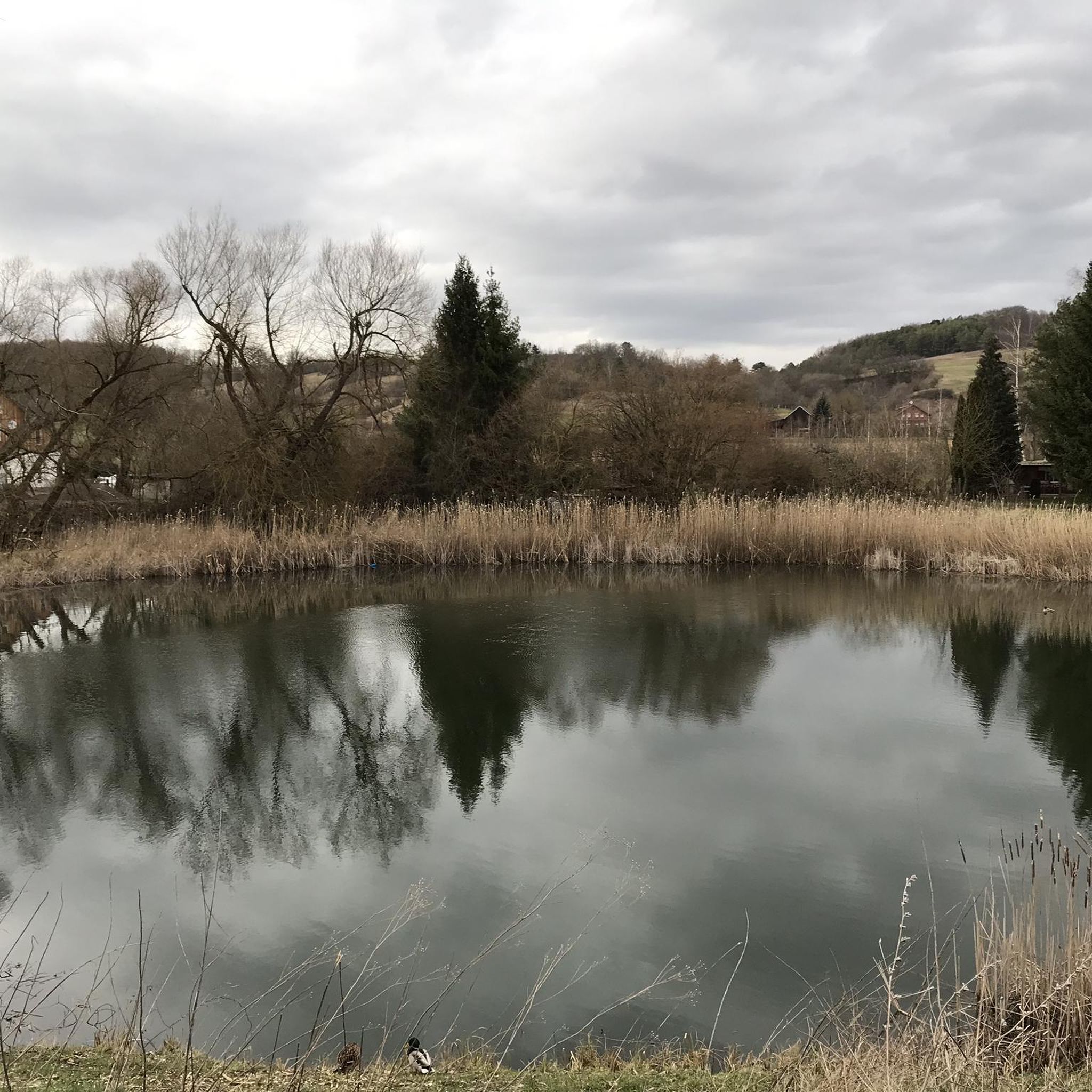
This is a perfect spot to access the Schuylkill River Trail. At this trailhead, you'll find a dog park and a picnic area—an excellent place to start your journey or turn around and head back.
1
0

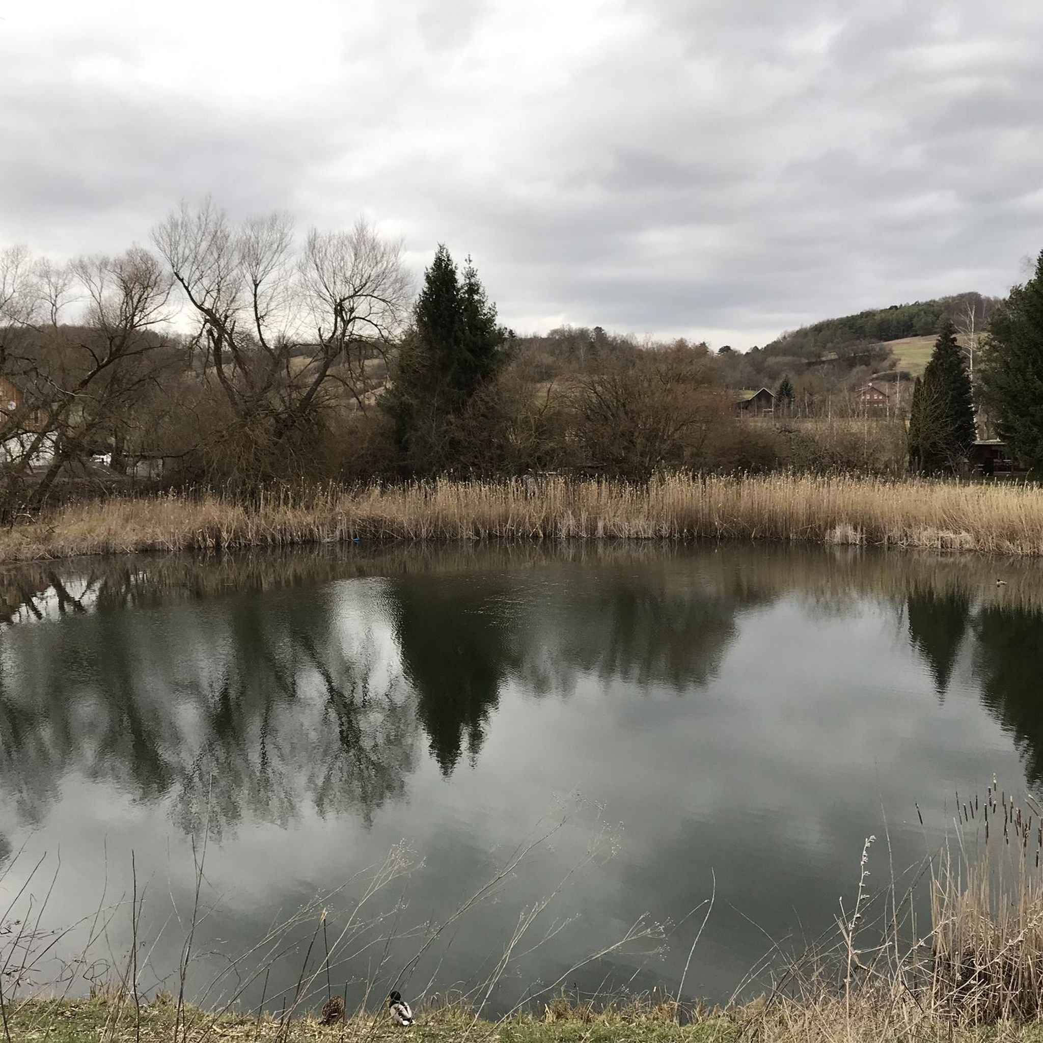
This crushed gravel doubletrack takes you right along the edge of the canal past a couple different small parks. The full trail is planned to cover around 140 miles when it is complete.
0
0

The Schuylkill East Trail is the most popular path in the Black Rock Sanctuary trail network. This smooth crushed-gravel trail is easy for all levels of rider, and it offers access to a bunch of different paths on the property. If you are looking to get in some serious miles, the Schuylkill River Trail is just a couple miles south and directly connects to this path.
0
0

This hard-packed trail wanders alongside the Schuylkill River. It is managed by Valley Forge National Historical Park, and carries you past several historic sites on this side of the river.
0
0
This hard-packed trail wanders alongside the Schuylkill River. It is managed by Valley Forge National Historical Park, and carries you past several historic sites on this side of the river.
0
0
This pedestrian- and bike-access bridge connects Valley Forge National Historical Park sites on the south and north sides of the Schuylkill River.
1
0

This is the bridge that connects Valley Forge with the Schuylkill River Trail
2
0
Frequently Asked Questions
What kind of terrain can I expect on gravel bike trails around Chesterbrook?
Gravel biking around Chesterbrook features varied terrain, including gently rolling hills and extensive wooded areas. You'll encounter a mix of surfaces, from smooth roads to jeep trails and gravel paths. The proximity to the Schuylkill River also offers flatter riverine environments, providing a contrast to the area's characteristic hills.
How many gravel bike trails are available in the Chesterbrook area?
There are 11 gravel bike trails available around Chesterbrook, offering a range of experiences from moderate to difficult. These routes are highly rated by the komoot community, with an average score of 4.3 stars.
Are there any family-friendly gravel biking options in Chesterbrook?
While specific 'family-friendly' designations aren't provided, the region's varied terrain includes paths suitable for different ability levels. For a moderate ride that explores a scenic trail, consider the River Trail – Fitzwater Station loop from Washington Memorial Chapel, which is 16.6 miles (26.7 km) long and leads through riverine landscapes.
What are some scenic viewpoints or landmarks to look out for along the trails?
Many routes offer immersion in nature through wooded areas and natural preserves. You can also find historical landmarks nearby, such as the National Memorial Arch. The Schuylkill River Trail itself is a prominent feature, offering scenic views along the river.
Are there any circular gravel routes available?
Yes, many of the gravel routes around Chesterbrook are designed as loops. For example, the popular Perkiomen Trail – Deep Creek Lake loop from Audubon is a 35.6-mile (57.3 km) circular route that explores the Perkiomen Trail and leads to Deep Creek Lake.
What is the best time of year for gravel biking in Chesterbrook?
The region's picturesque rolling hills and wooded landscapes are enjoyable throughout the warmer months. Spring and fall offer pleasant temperatures and vibrant scenery, making them ideal for exploring the tree-lined paths and natural preserves.
Are there options for beginners or more advanced gravel riders?
The network of gravel routes around Chesterbrook offers options for various ability levels. You'll find several moderate routes, such as the View from Sullivan's Bridge – Washington Memorial Chapel loop from Phoenixville. For a more challenging experience, there are also difficult routes like the Rapps Dam Covered Bridge – Warwick County Park loop from Phoenixville, which features significant elevation gain.
What do other gravel bikers enjoy most about the trails in Chesterbrook?
The area is highly rated by the komoot community, with an average score of 4.3 stars from over 10 reviews. Riders often praise the varied terrain, the immersion in nature provided by the wooded paths, and the scenic riverine environments along the Schuylkill River.
Are there any trails that offer a mix of surfaces for a diverse riding experience?
Absolutely. The broader Chester County area, including routes accessible from Chesterbrook, is known for its mixed-surface riding. You can expect a combination of smooth roads, jeep trails, and gravel sections, providing a diverse cycling experience across the region's rolling hills and natural preserves.
What is the typical length of gravel bike trails in Chesterbrook?
The gravel bike trails in Chesterbrook vary in length. You can find shorter routes around 16.6 miles (26.7 km), such as the River Trail – Fitzwater Station loop from Washington Memorial Chapel, up to longer, more challenging rides like the 66.3-mile (106.7 km) Rapps Dam Covered Bridge – Warwick County Park loop from Phoenixville.
Can I bring my dog on the gravel trails around Chesterbrook?
While many outdoor areas in the region are dog-friendly, specific regulations can vary by park or trail. It's always best to check the local rules for the particular trail you plan to ride to ensure dogs are permitted and if any leash requirements apply.
Are there any historical sites or ruins along the gravel routes?
Yes, some routes connect to historical sites. For instance, the View from Sullivan's Bridge – Washington Memorial Chapel loop from Phoenixville passes by the Washington Memorial Chapel. Additionally, you can find Ruins listed as a highlight in the broader area, offering a glimpse into the region's past.
Most popular attractions around Chesterbrook

Get inspired with the komoot mobile app


Explore more
Browse the best Gravel rides in other regions.
