The best gravel rides in Schwanheimer Wald
4.4
(1411)
7,620
riders
324
rides
Gravel biking in Schwanheimer Wald offers a network of routes through forested areas, open meadows, and along riverbanks. The region is characterized by its relatively flat to gently rolling terrain, making it accessible for various skill levels. Trails often follow the Main river, providing views of the surrounding landscape. The forest features well-maintained paths and diverse landscapes, including the unique Schwanheimer Düne.
Best gravel bike trails in Schwanheimer Wald
- The most popular gravel bike trail is Schwanheim Forest – Schwanheimer…
Last updated: October 6, 2026
4.6
(46)
195
riders
38.3km
01:57
130m
130m
Easy gravel ride. Great for any fitness level. Mostly paved surfaces. Suitable for all skill levels.
4.4
(10)
41
riders
16.6km
00:50
30m
30m
Easy gravel ride. Great for any fitness level. Mostly paved surfaces. Suitable for all skill levels.

4.0
(3)
28
riders
Easy gravel ride. Great for any fitness level. Mostly paved surfaces. Suitable for all skill levels.
5.0
(1)
11
riders
26.0km
01:23
100m
100m
Easy gravel ride. Great for any fitness level. Mostly paved surfaces. Suitable for all skill levels.
4.5
(4)
23
riders
Easy gravel ride. Great for any fitness level. Mostly paved surfaces. Suitable for all skill levels.
Get access to more routes and recommendations from other explorers.
Already have an account?
Our route recommendations are based on thousands of hikes, rides, and runs completed by other people on komoot.
Start today with a free account
Your next adventure awaits.
Tips from the Community

Stunning the tower!
0
0

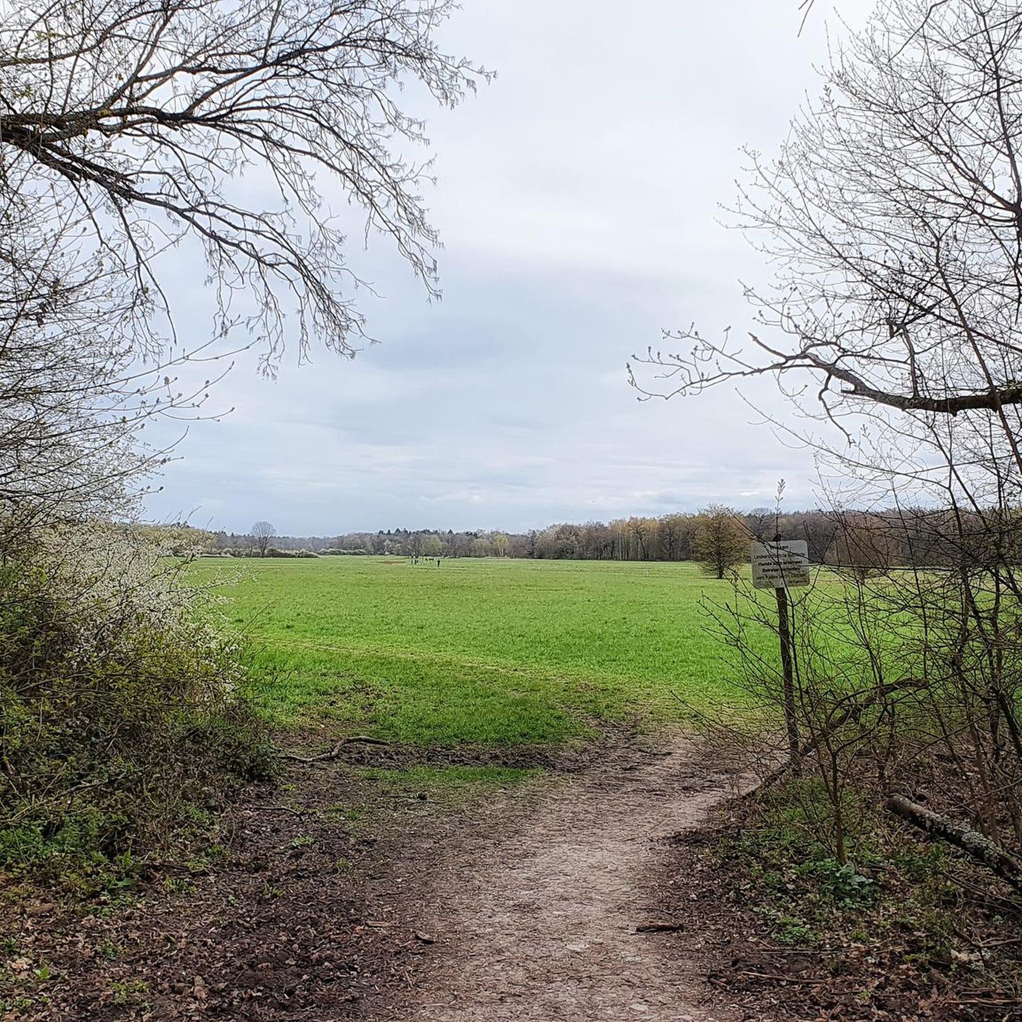
Was staying overnight at the airport as part of a training. A nice round through the city forest picked me up again in the evening. The old riverbed is now a huge meadow with a great panoramic view.
0
0

Starting point: Niddaquelle at Hoherodskopf in the Vogelsberg (over 700 meters altitude). End point: Wörthspitze in Frankfurt-Höchst (mouth into the Main). Altitude profile: From the source in the mountains, it initially goes downhill and then continues very flatly through the flat Wetterau and the Frankfurt Green Belt.
0
0
The Nidda Cycle Path (also Regionalpark Niddaroute) is about 95 to 100 kilometers long and leads from the Nidda source in the Vogelsberg to its mouth in the Main near Frankfurt-Höchst. The route runs from the source in the High Vogelsberg via Schotten, the Wetterau and Bad Vilbel to Frankfurt.
0
0

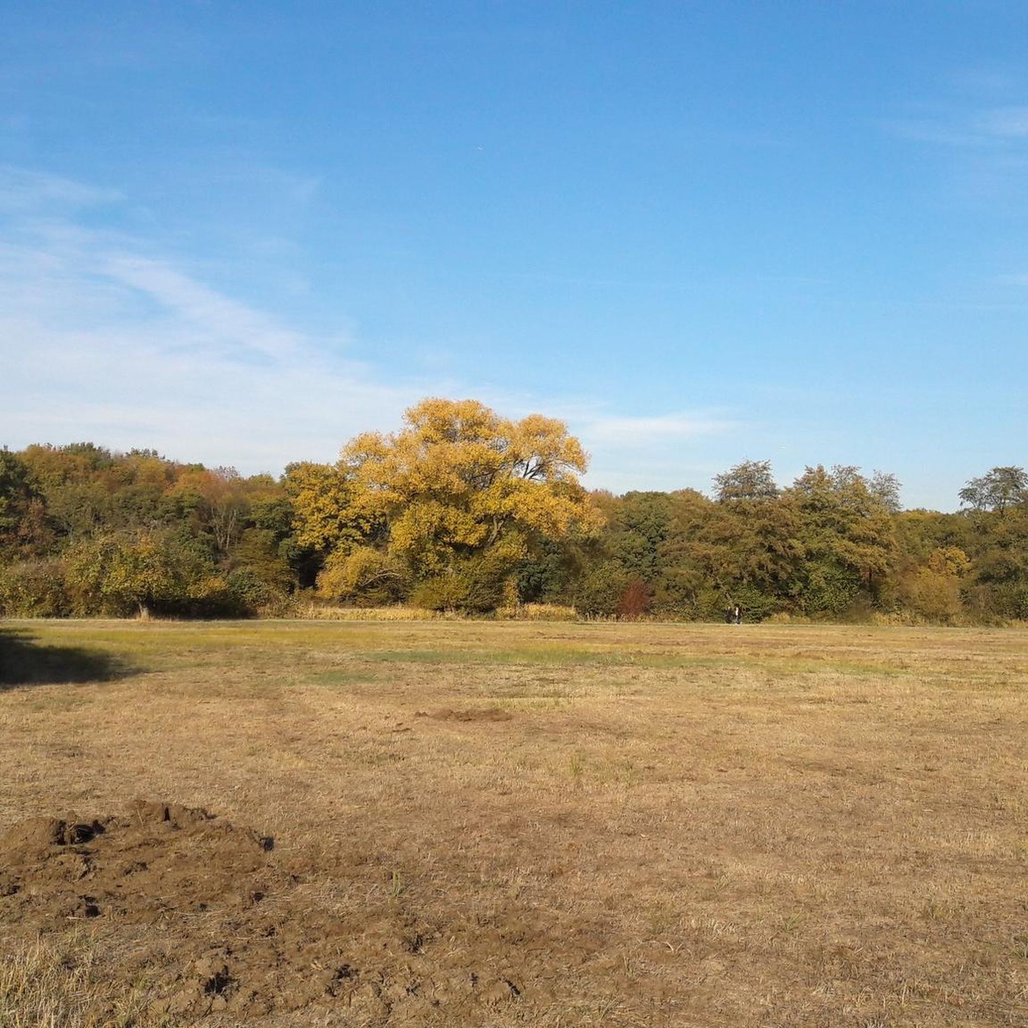
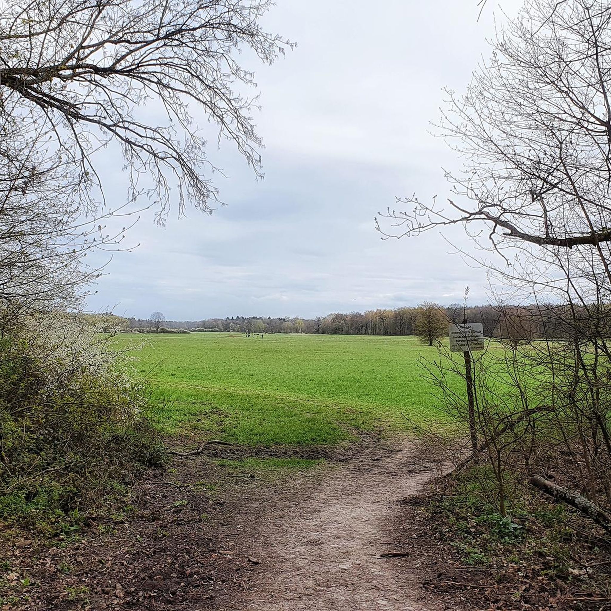
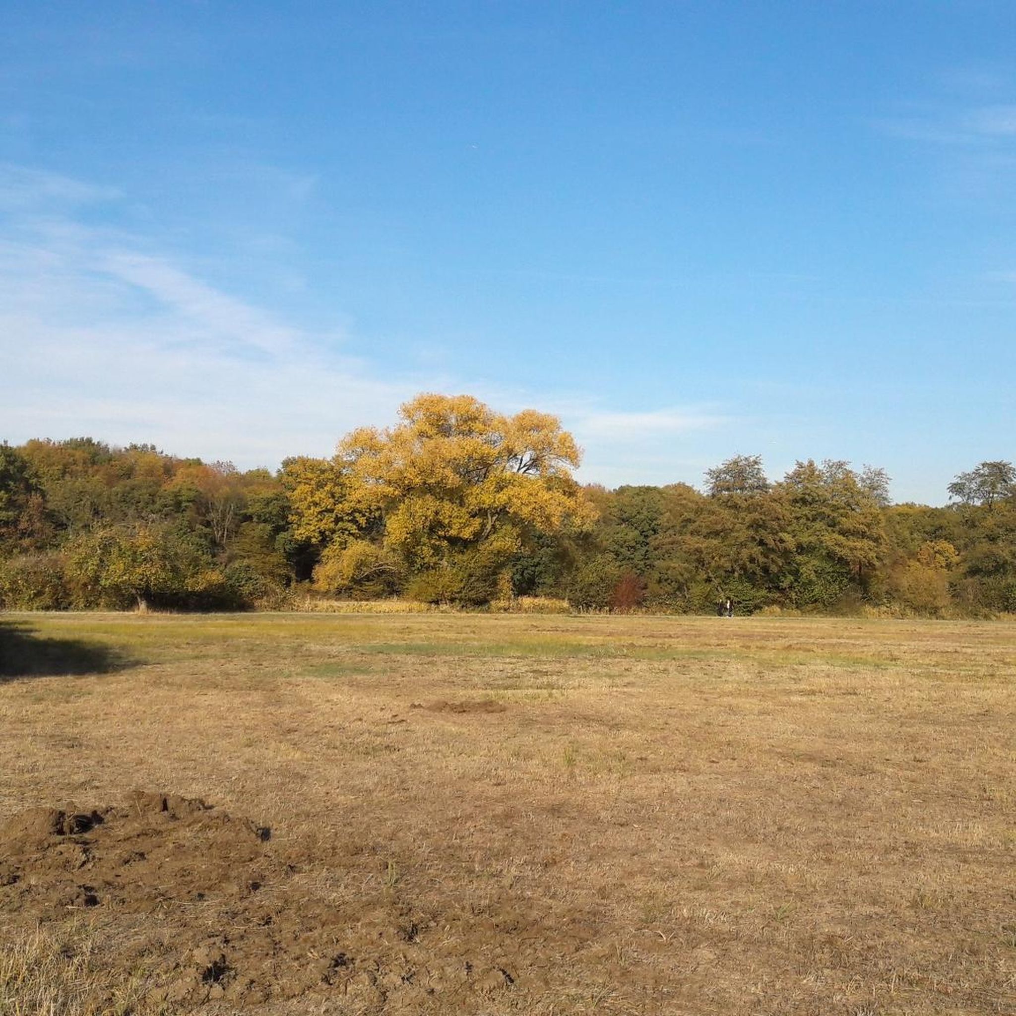
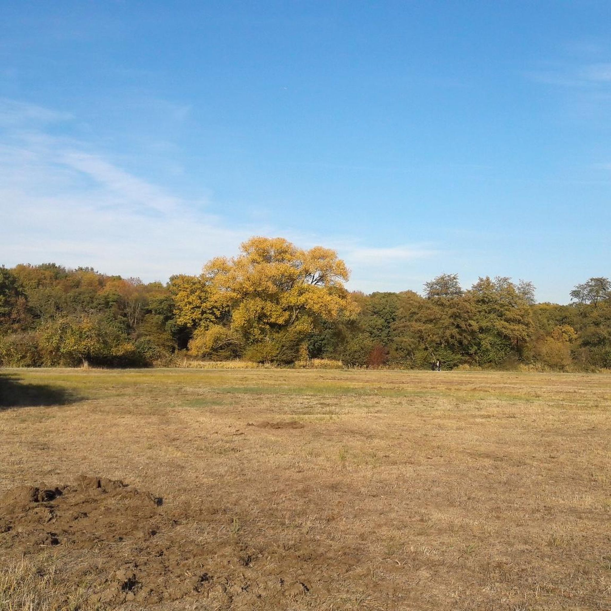
Simply a beautiful large meadow in the middle of the forest.
0
0

A beautiful spot on Earth and a wonderful example of successful renaturation! It should be a model!
0
0

It's simply great that something has also been done here along the Nidda regarding "re-naturalization".
1
0
The renaturalization project was only effectively completed at this location in 2025. Before that, it was "nice," but nothing more. Today, at least here, one can get an impression of what the Nidda might originally have looked like. A little further downstream towards Höchst, there is also a more natural stretch – otherwise, unfortunately, it's still a very straightened river, yet still one of the most beautiful sections in Frankfurt.
1
0
Frequently Asked Questions
What kind of terrain can I expect on gravel bike trails in Schwanheimer Wald?
The gravel bike trails in Schwanheimer Wald feature a mix of forested paths, open meadows, and sections along riverbanks. The terrain is generally flat to gently rolling, offering a varied but accessible riding experience.
Are there gravel bike routes suitable for beginners or families in Schwanheimer Wald?
Yes, Schwanheimer Wald offers a good selection of easy routes perfect for beginners or family outings. For example, the Schwanheimer Meadows – Schwanheim Forest loop from Schwanheim is an easy 18.6-mile (29.9 km) trail that navigates through varied forest and meadow terrain.
How many gravel bike trails are available in Schwanheimer Wald?
There are nearly 500 gravel bike routes available in Schwanheimer Wald on komoot, catering to various skill levels. This includes over 100 easy routes, more than 200 moderate options, and close to 200 difficult trails.
What are some challenging gravel bike routes in the area?
For experienced gravel bikers seeking a challenge, routes like the Gehspitz Pond – Mönchwald Lake loop from Griesheim offer a more demanding ride. This difficult 38.3-mile (61.6 km) path connects several ponds and lakes, providing diverse natural scenery.
Are there any scenic viewpoints or natural attractions along the gravel bike trails?
Yes, Schwanheimer Wald is home to several natural and historical highlights. You can explore the ancient Schwanheim Old Oaks or visit the Rohsee. Some routes also offer views of the Main river and surrounding landscapes.
What do other gravel bikers say about the trails in Schwanheimer Wald?
The routes in Schwanheimer Wald are highly rated by the komoot community, with an average score of 4.5 stars from over 1,900 reviews. More than 11,000 gravel bikers have used komoot to explore the varied terrain, often praising the well-maintained paths and diverse scenery.
Are there any historical sites or landmarks to see while gravel biking?
Beyond natural beauty, you can encounter historical elements such as the Roman Stone Well or the Steilhang and Tannacker Burial Mounds, adding a cultural dimension to your ride.
Can I access the gravel bike trails in Schwanheimer Wald using public transport?
Many routes in Schwanheimer Wald are accessible via public transport. For instance, the Main riverbank near Kostheim – View of Hochheim Vineyards loop starts from Frankfurt am Main Flughafen Fernbahnhof, a major transport hub.
Are there any moderate-difficulty gravel bike routes available?
Absolutely. A popular moderate route is the Schwanheim Riverside – Ölhafen Bridge Raunheim loop from Frankfurt am Main Flughafen Fernbahnhof. This 34.7-mile (55.8 km) trail offers a balanced challenge with riverside sections.
What is the typical duration for a gravel bike ride in Schwanheimer Wald?
Ride durations vary significantly depending on the route's length and difficulty. Easy routes like the Schwanheimer Meadows loop can take under 2 hours, while more challenging trails such as the Gehspitz Pond loop might require over 4 hours to complete.
Are there any routes that offer views of the Frankfurt skyline?
Yes, some routes provide glimpses of the city. The View of the Frankfurt Skyline – Schwanheim Riverside loop from Frankfurt-Gateway Gardens is a moderate 24.6-mile (39.6 km) trail that combines riverside riding with urban views.
Are most gravel bike trails in Schwanheimer Wald circular routes?
Many of the gravel bike trails in Schwanheimer Wald, including the most popular ones, are designed as circular loops. This allows riders to start and end at the same point, making logistics easier.
Most popular routes in Schwanheimer Wald
Most popular attractions in Schwanheimer Wald

Get inspired with the komoot mobile app


Explore more
Browse the best Gravel rides in other regions.
