The best gravel rides in St. Johanner Stadtwald
4.4
(247)
1,180
riders
89
rides
Gravel biking in St. Johanner Stadtwald offers a network of routes through forested areas and varied terrain. The region is characterized by established paths suitable for gravel bikes, featuring diverse landscapes with notable elevation changes. These trails provide opportunities to explore the local environment, which includes ancient oak and beech forests, as well as open sections. The terrain ranges from moderate to more challenging, providing options for different skill levels.
Best gravel bike trails in St. Johanner Stadtwald
- The most…
Last updated: October 6, 2026
4.2
(6)
32
riders
29.3km
02:14
560m
560m
Hard gravel ride. Very good fitness required. Mostly paved surfaces. Suitable for all skill levels.
4.5
(17)
46
riders
Moderate gravel ride. Good fitness required. Mostly paved surfaces. Suitable for all skill levels.

4.4
(5)
27
riders
Moderate gravel ride. Good fitness required. Mostly paved surfaces. Suitable for all skill levels.
4.7
(3)
20
riders
36.8km
02:18
380m
380m
Hard gravel ride. Good fitness required. You may need to push your bike for some segments of this route.
4.5
(6)
30
riders
40.7km
02:29
360m
360m
Moderate gravel ride. Good fitness required. Mostly paved surfaces. Suitable for all skill levels.
Get access to more routes and recommendations from other explorers.
Already have an account?
Our route recommendations are based on thousands of hikes, rides, and runs completed by other people on komoot.
Start today with a free account
Your next adventure awaits.
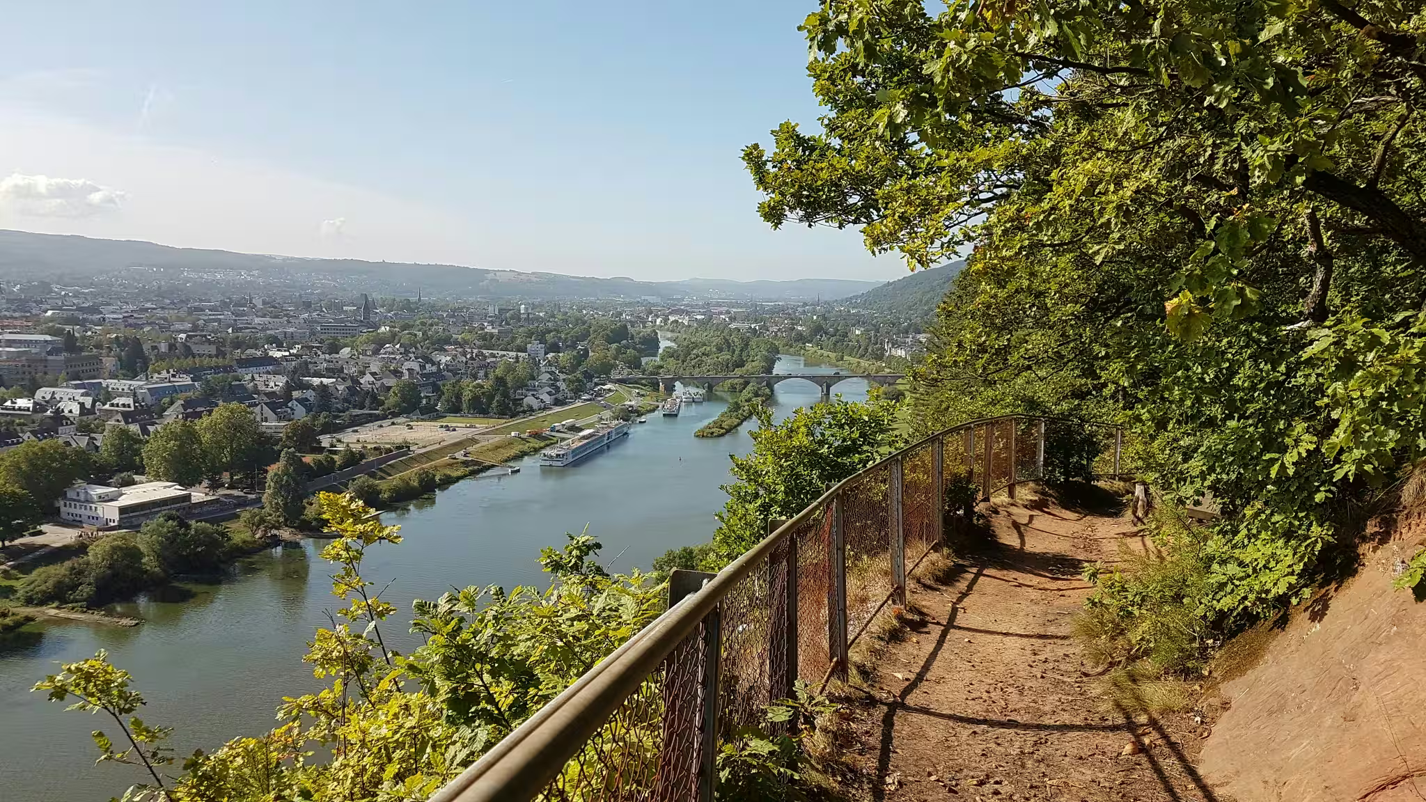
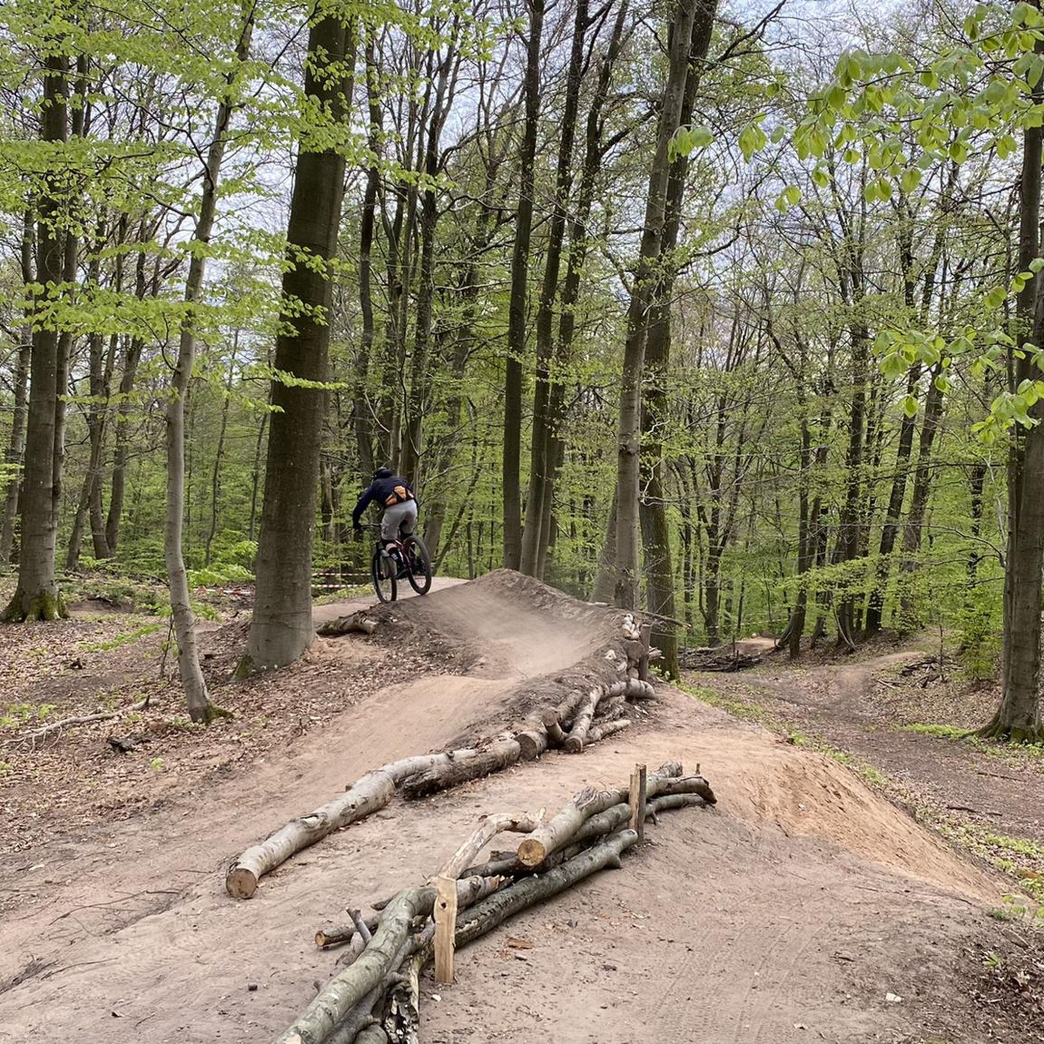
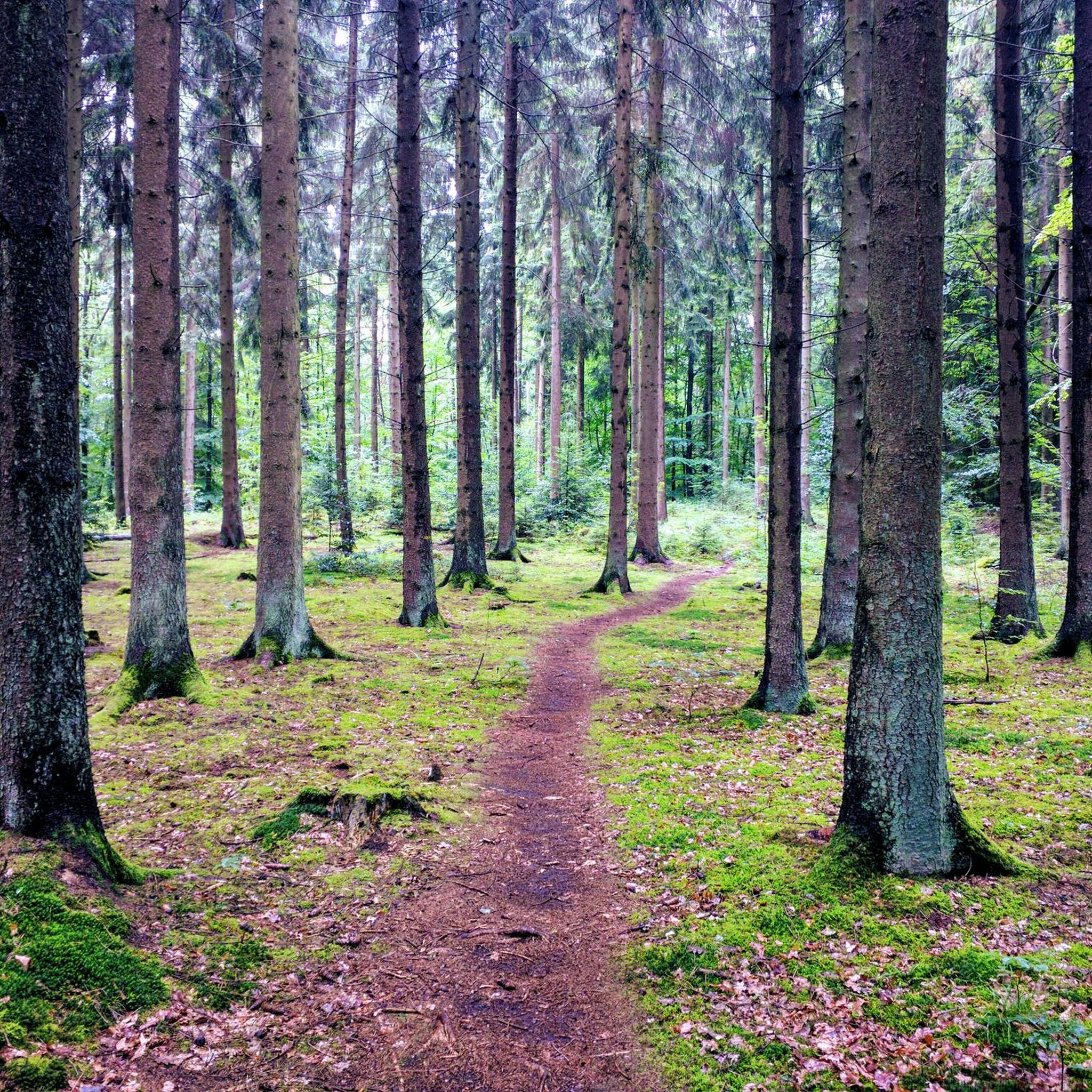
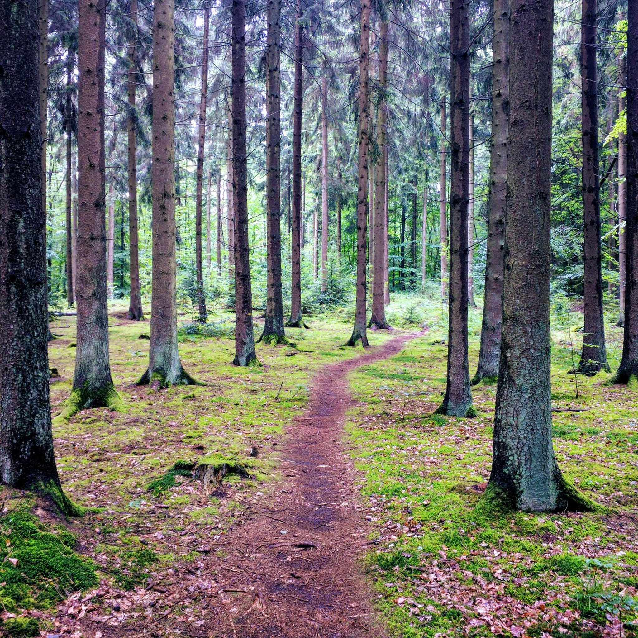
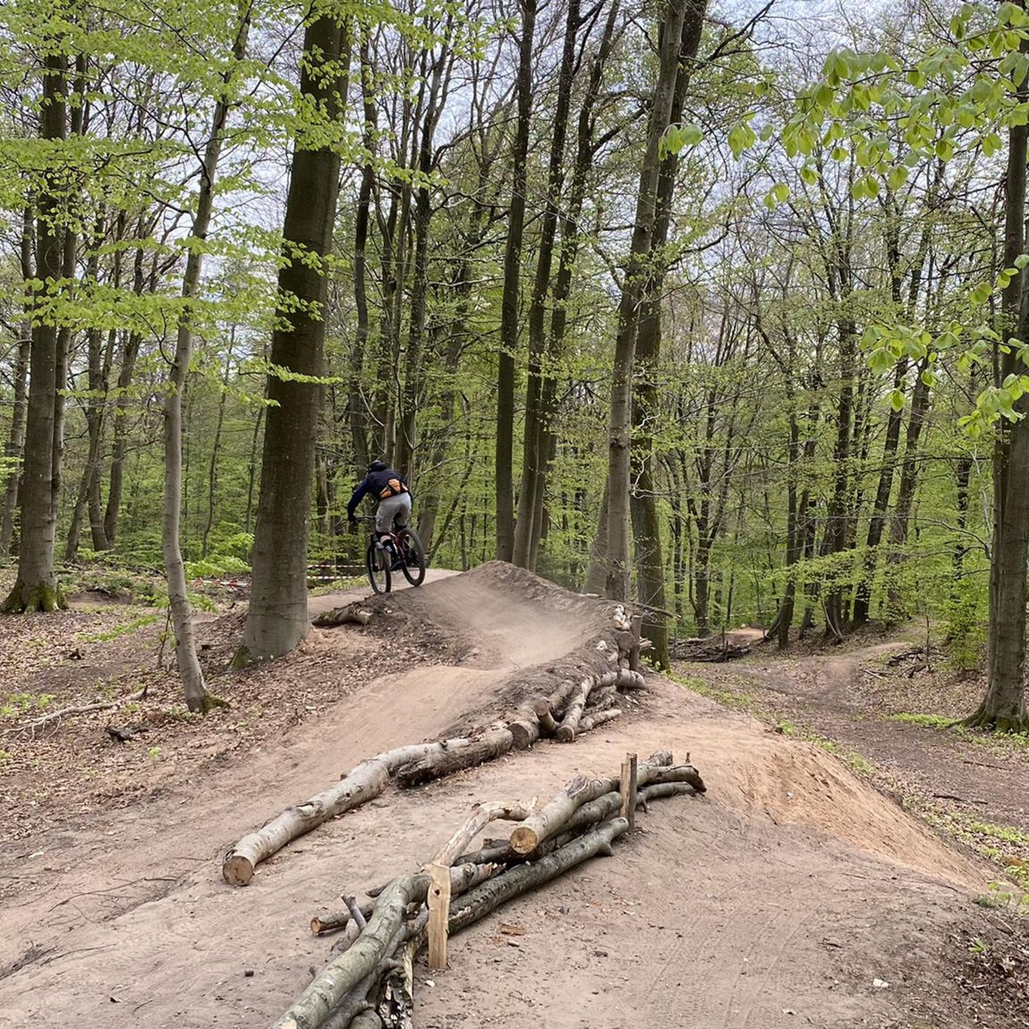
Other adventures in St. Johanner Stadtwald

Tips from the Community


Lovely playful trails along the German-French border. Also perfectly doable with a gravel bike.
2
0

The bridge has been renewed!
0
0

The Saar (French Sarre, Latin Saravus, Luxembourgish Saar) is a river flowing approximately northward in Alsace and Lorraine, as well as in the German states of Saarland and Rhineland-Palatinate. With a flow distance of 235 kilometers, it is the longest tributary of the Moselle; its catchment area covers 7431 square kilometers, which is about three times the area of Saarland (2569.69 km²). See: https://de.wikipedia.org/wiki/Saar
1
0

Beautiful quiet hiking trail, very well signposted
1
0


The Grumbachtalweg (asphalted) runs partly parallel to the motorway through the forest of Saarbrücken to Sengscheid.
0
0

Frequently Asked Questions
How many gravel bike trails are available in St. Johanner Stadtwald?
St. Johanner Stadtwald offers a comprehensive network of over 140 gravel bike routes. These trails cater to various skill levels, with a good mix of moderate and difficult options.
What are the typical difficulty levels for gravel biking in St. Johanner Stadtwald?
The gravel bike trails in St. Johanner Stadtwald are primarily categorized as moderate or difficult. You'll find 63 moderate routes and 80 difficult routes, ensuring options for both experienced riders and those looking for a challenge.
Are there any family-friendly gravel bike routes in St. Johanner Stadtwald?
While many routes in St. Johanner Stadtwald are rated moderate to difficult, some sections of the longer routes might be suitable for families with older, more experienced children. For a generally less strenuous experience, consider routes that stick to wider, well-maintained paths. Always check the route details for elevation and terrain before heading out with family.
Where can I find parking for gravel biking in St. Johanner Stadtwald?
Many gravel bike routes in St. Johanner Stadtwald start from areas like Saarbrücken Ost, which typically offer parking facilities. It's advisable to check the specific starting point of your chosen route on komoot for detailed parking information.
What kind of terrain can I expect on gravel bike trails in St. Johanner Stadtwald?
The terrain in St. Johanner Stadtwald is characterized by forest paths, established cycle paths, and natural sections. You'll encounter varied surfaces and elevation changes, offering a dynamic gravel biking experience through woodlands and valleys.
Are there any circular gravel bike routes in St. Johanner Stadtwald?
Yes, many of the gravel bike trails in St. Johanner Stadtwald are designed as loops. For example, the Saar Cycle Route – Dragonerweg loop from Saarbrücken Ost is a popular circular option, as is the more challenging The Matz Bench – Karl-May-Weg Trail loop from Saarbrücken Ost.
What do other gravel bikers enjoy most about St. Johanner Stadtwald?
The komoot community highly rates gravel biking in St. Johanner Stadtwald, with an average score of 4.3 stars from over 240 reviews. Riders often praise the diverse forest paths, scenic valley views, and the variety of routes available for different skill levels.
Are there any specific viewpoints or scenic spots along the gravel bike trails?
Yes, the region offers several scenic spots. For instance, the route View of the Frohnsbach Valley – Niederwürzbach Pond loop from Saarbrücken Ost is known for its views of the Frohnsbach Valley and passes by Niederwürzbach Pond. Many trails also offer picturesque sections through the dense forest.
What are some interesting places to explore near the gravel bike routes?
Beyond the trails, you can explore several attractions. The AbenteuerPark Saar High Ropes Course offers an adventure for all ages, and the Uhu Pavilion in Saarbrücken Wildlife Park is a great spot for nature lovers. For those interested in more technical riding, there are also highlights like the Flowtrail Homburg nearby.
How long are the typical gravel bike routes in St. Johanner Stadtwald?
Gravel bike routes in St. Johanner Stadtwald vary in length. You can find routes ranging from approximately 29 km, like The Matz Bench – Karl-May-Weg Trail loop from Saarbrücken Ost, to longer options around 44 km, such as View of the Frohnsbach Valley – Niederwürzbach Pond loop from Saarbrücken Ost. Most routes take between 2.5 to 3.5 hours to complete.
Are there any routes that pass by ponds or water features?
Yes, several routes incorporate water features. The View of the Frohnsbach Valley – Niederwürzbach Pond loop from Saarbrücken Ost leads past Niederwürzbach Pond. Another option is the Burbach Forest Pond – Burbach Pond loop from Saarbrücken Ost, which features multiple ponds.
Can I find routes suitable for advanced gravel bikers?
Absolutely. St. Johanner Stadtwald has 80 routes classified as difficult, offering significant elevation gains and varied terrain for advanced riders. An example is The Matz Bench – Karl-May-Weg Trail loop from Saarbrücken Ost, known for its challenging profile.
Most popular routes in St. Johanner Stadtwald
Most popular attractions in St. Johanner Stadtwald

Get inspired with the komoot mobile app


Explore more
Browse the best Gravel rides in other regions.
