The best gravel rides in Hirschbachheide
4.6
(10)
50
riders
17
rides
Gravel biking in Hirschbachheide offers a diverse landscape characterized by river valleys, dam reservoirs, and former railway lines converted into scenic paths. The region features varied terrain suitable for gravel bikes, including sections along the Wilde Weißeritz and around the Malter Dam. These routes often include moderate climbs and descents, providing a balanced experience for riders through dense forests, open countryside, and pastured plateaus.
Best gravel bike trails in Hirschbachheide
- The most popular gravel bike trail is Windbergbahn Cycle Path…
Last updated: October 6, 2026
4.7
(3)
5
riders
16.3km
01:01
170m
170m
Moderate gravel ride. Good fitness required. Mostly paved surfaces. Suitable for all skill levels.
9.01km
00:39
90m
90m
Easy gravel ride. Great for any fitness level. Mostly paved surfaces. Suitable for all skill levels.

3.0
(1)
3
riders
Hard gravel ride. Very good fitness required. Mostly paved surfaces. Suitable for all skill levels.
4.0
(5)
16
riders
38.5km
02:20
440m
440m
Moderate gravel ride. Good fitness required. Mostly paved surfaces. Suitable for all skill levels.
5
riders
Hard gravel ride. Very good fitness required. Mostly paved surfaces. Suitable for all skill levels.
Get access to more routes and recommendations from other explorers.
Already have an account?
Our route recommendations are based on thousands of hikes, rides, and runs completed by other people on komoot.
Start today with a free account
Your next adventure awaits.
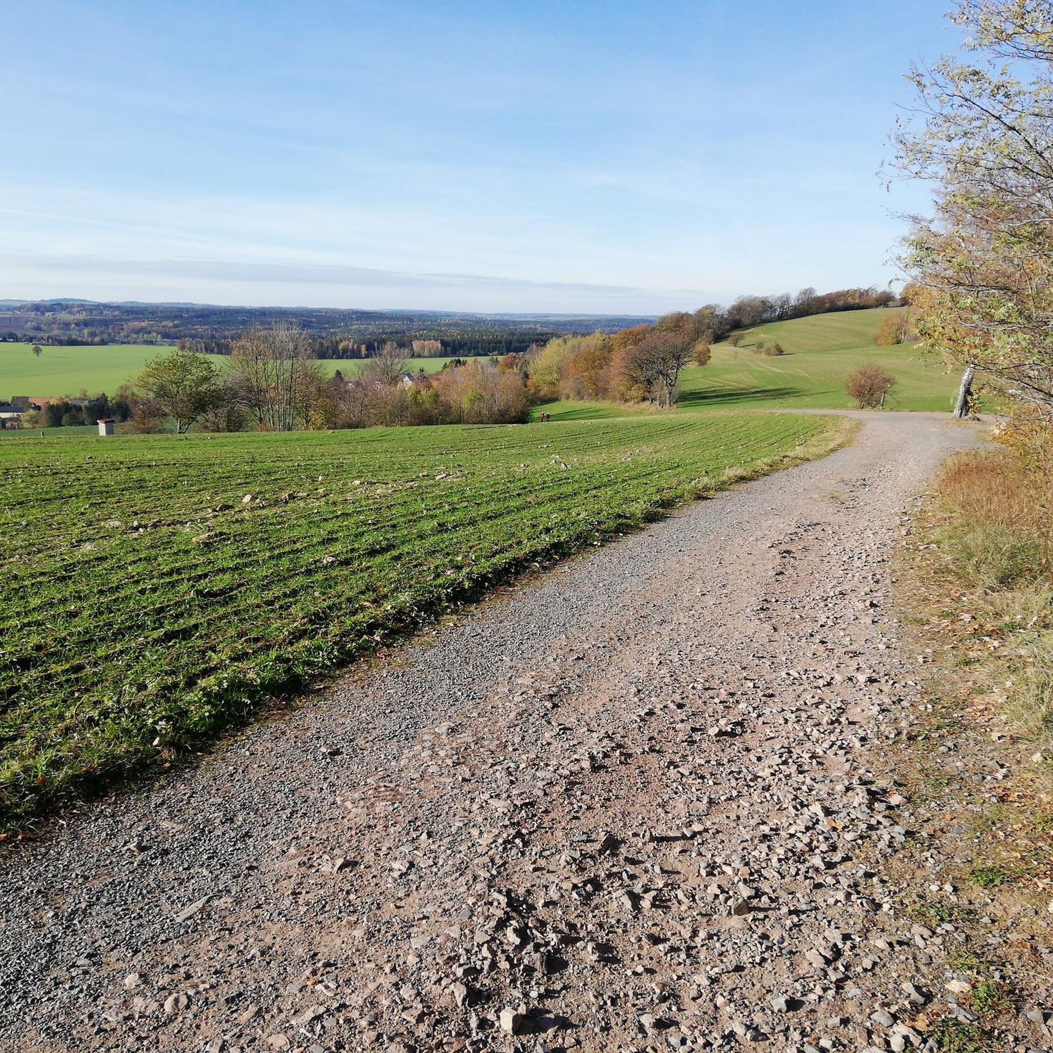
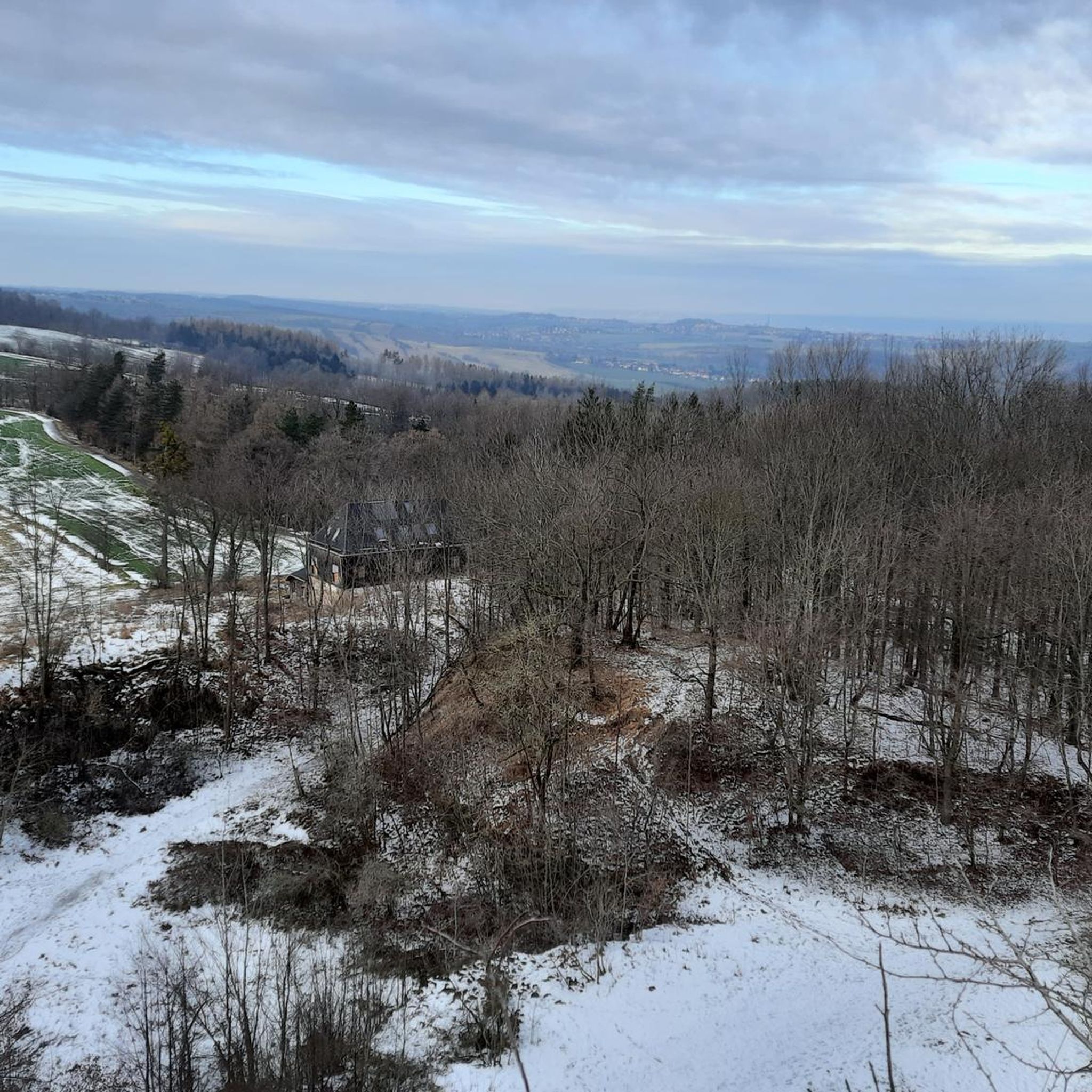
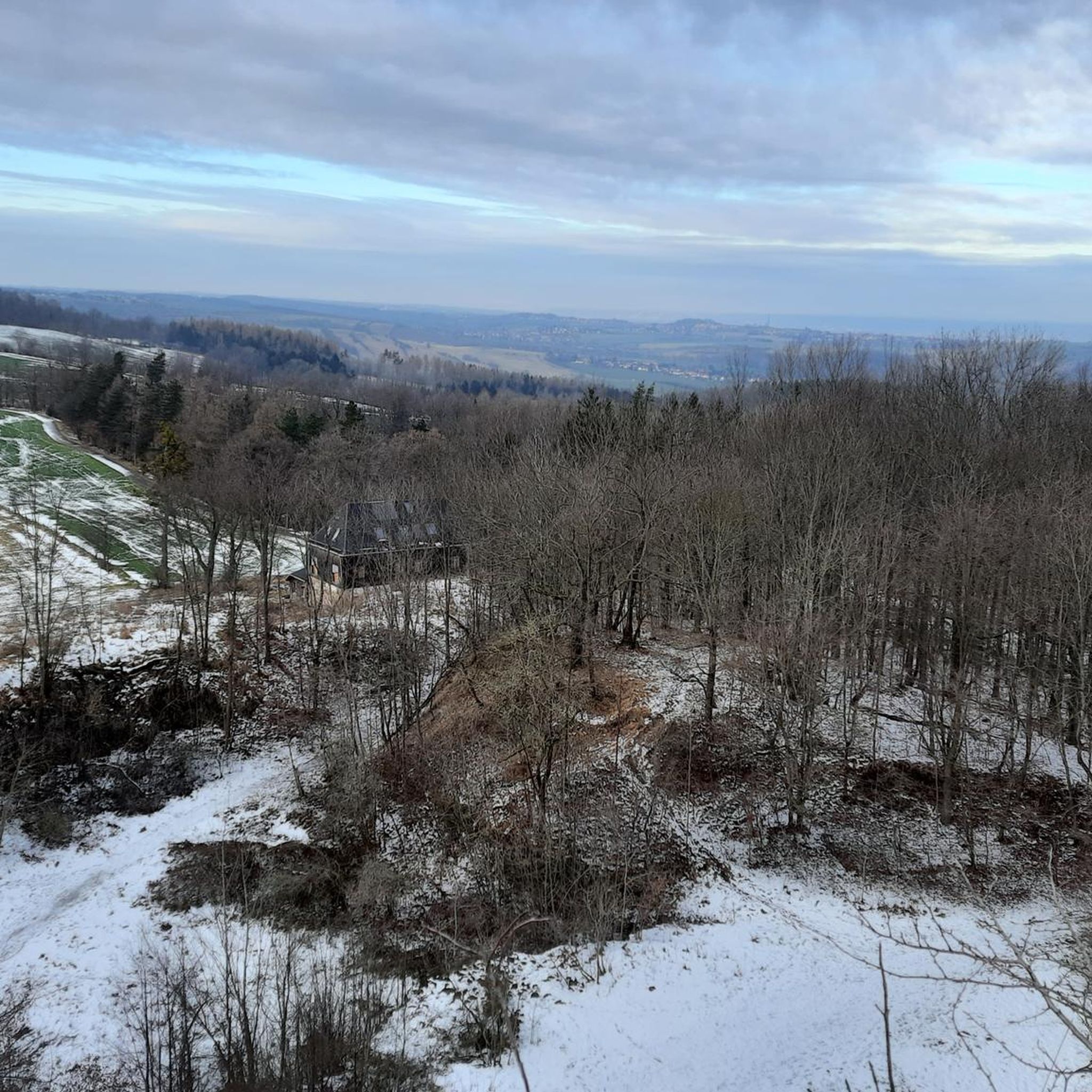
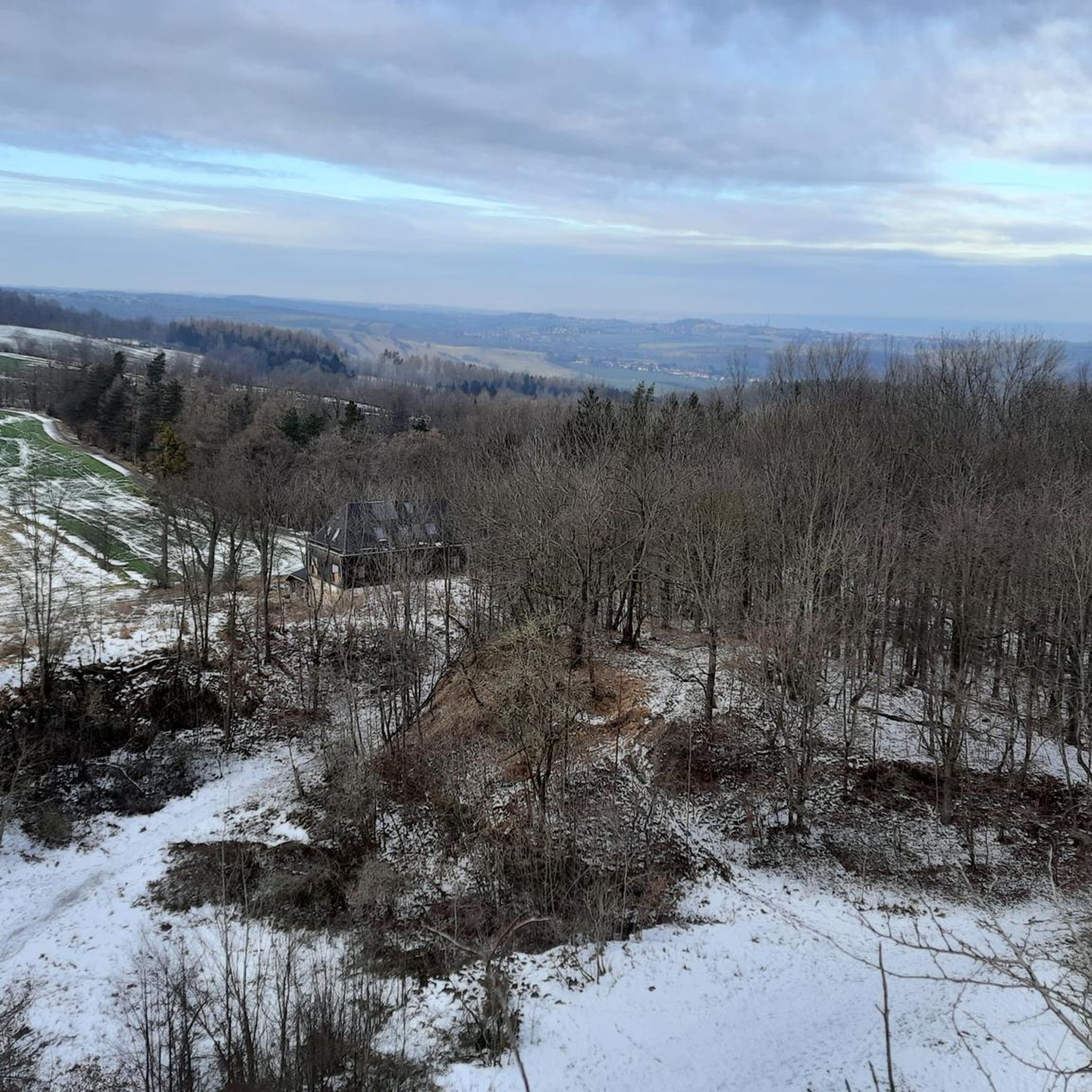
Tips from the Community

Small fine animal park https://www.tierpark-hoeckendorf.de/unser-tierpark
0
0

The dam of the Klingenberg reservoir is an arched gravity dam made of rubble masonry according to the Intze principle. Remarkable about this listed dam is the striking crown structure in the middle. A public path leads across the dam. The reservoir has a pre-dam, whose closing structure is an earth dam, and two forebays. The Lehnmühle reservoir is also part of the system, which had the function of a pre-dam until its construction and is today primarily a controlled part of the drinking water supply and flood defense. The raw water is diverted to the Dresden-Coschütz waterworks via the Dorfhain and Tharandt hydroelectric power plants. At the foot of the dam are the waterworks and the Klingenberg hydroelectric power plant. The flood of the Wilde Weißeritz in 2002 caused damage (scouring), especially at the dam's spillway and the 150 m long cascade flood relief with its seven drop stages. It was only designed for a maximum flood of 86 cubic meters per second, but there were peak discharges of 160 m³/s.
0
0
The dam was built from 1908 onwards near Klingenberg in the foothills of the Ore Mountains, based on an architectural design by Hans Poelzig. In 1914, the dam went into operation and was named after the last Saxon king: Friedrich-August-Talsperre. The impounded body of water is the Wilde Weißeritz. Its construction was part of a flood protection concept that was developed after the devastating flood of 1897 by the district administration of Dresden-Altstadt under the leadership of District Administrator and Dam Commissioner Arnold Streit. During construction, a standard-gauge industrial railway was built from Klingenberg-Colmnitz station to the construction site, which operated from 1911 to 1914. The Höhenweg trail now runs along its route over the Streichholzbrücke bridge. (Wikipedia)
0
0

A very nice spot for a small or larger break. There is a circular path with many benches.
0
0

It is simply wonderfully beautiful here 😊.
0
0

Exciting history, therefore a worthwhile detour.
0
1
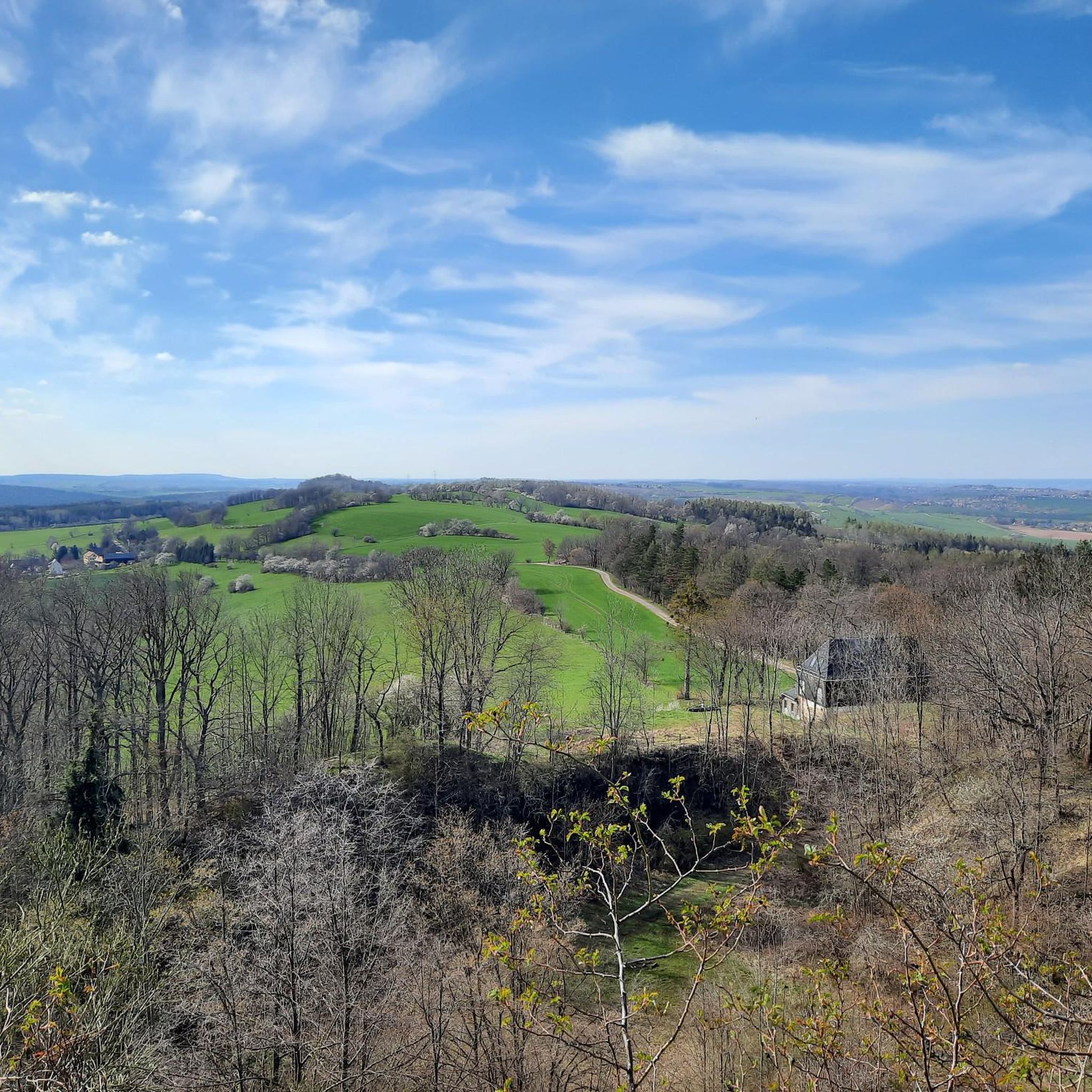
beautiful view over the treetops.
1
1
It's just dreamlike and beautiful here 😊.
0
1
Frequently Asked Questions
How many gravel bike trails are available in Hirschbachheide?
Hirschbachheide offers a wide selection of gravel bike trails, with over 30 routes to explore. These include 2 easy, 15 moderate, and 14 difficult options, ensuring there's a suitable ride for every skill level.
Are there any easy gravel bike trails in Hirschbachheide suitable for beginners or families?
Yes, Hirschbachheide has a few easy gravel bike trails perfect for beginners or families. One notable option is the Windbergbahn Cycle Path – Rabenauer Grund loop from Dippoldiswalde, which follows a historic railway path through a scenic river valley. This route is rated moderate but is often considered accessible for those new to gravel biking due to its relatively gentle terrain.
What are the more challenging gravel biking options in Hirschbachheide?
For experienced gravel bikers seeking a challenge, Hirschbachheide offers 14 difficult routes. A popular choice is the Along the Wilde Weißeritz – Klingenberg Forebay Dam loop from Dippoldiswalde, which features varied terrain along the river and around the dam with challenging sections. Another demanding route is the Malter Dam – Klingenberg Forebay Dam loop from Malter, known for its significant elevation changes.
Are there any circular gravel bike routes in Hirschbachheide?
Many of the gravel bike routes in Hirschbachheide are designed as circular loops, allowing you to start and end at the same point. Examples include the Hirschbach Valley Road – Malter Dam loop from Dippoldiswalde and the Malter Dam – Malter Reservoir loop from Malter, both offering scenic rides through the region's diverse landscape.
What kind of scenery and attractions can I expect along the gravel bike trails in Hirschbachheide?
The gravel bike trails in Hirschbachheide are characterized by river valleys, dam reservoirs, and former railway lines. Along your ride, you might encounter natural highlights such as the Wilischbach Stream and Forest Path, or the impressive Natural Weir on the Wilischbach. For panoramic views, consider routes that pass by the Old Beech Tree Stump and Viewpoint at Lungkwitz.
What do other gravel bikers enjoy most about riding in Hirschbachheide?
The komoot community highly rates gravel biking in Hirschbachheide, with an average score of 4.4 stars from over 20 reviews. Riders often praise the diverse landscape, which includes river valleys, dam reservoirs, and scenic paths along former railway lines, providing a balanced experience with moderate climbs and descents.
What is the best season for gravel biking in Hirschbachheide?
While gravel biking in Hirschbachheide is enjoyable throughout much of the year, spring and autumn generally offer the most pleasant conditions with mild temperatures and vibrant scenery. Summer can also be great, but it's advisable to start earlier to avoid the midday heat. Winter rides are possible, but conditions can be challenging with potential snow and ice, especially on higher or less maintained sections.
Are there any viewpoints along the gravel routes in Hirschbachheide?
Yes, several routes offer rewarding viewpoints. The Old Beech Tree Stump and Viewpoint at Lungkwitz is a notable spot providing scenic vistas. Additionally, the varied terrain around the Malter Dam and Klingenberg Forebay Dam often presents elevated sections with expansive views of the reservoirs and surrounding landscape.
What should I pack for a gravel biking trip in Hirschbachheide?
Given the varied terrain and potential for moderate climbs and descents, it's wise to pack essentials like a repair kit, plenty of water, and snacks. Depending on the season, layers of clothing are recommended. A helmet is always essential, and consider a GPS device or the komoot app for navigation, as some trails might be less marked in remote sections.
Are there any cafes or places to refuel near the gravel bike trails?
While specific cafes directly on every trail might be limited, the routes often pass through or near towns like Dippoldiswalde and Malter, where you can find options for refreshments. It's always a good idea to check local amenities in these towns before you set out, or pack sufficient supplies for your ride.
How long do gravel bike trails in Hirschbachheide typically take to complete?
The duration of gravel bike trails in Hirschbachheide varies significantly based on their length and difficulty. For example, the moderate Windbergbahn Cycle Path – Rabenauer Grund loop from Dippoldiswalde (38.5 km) typically takes around 2 hours 57 minutes, while the slightly shorter but difficult Along the Wilde Weißeritz – Klingenberg Forebay Dam loop from Dippoldiswalde (31.2 km) can take approximately 2 hours. Always check the estimated duration for your chosen route on komoot.
Most popular routes in Hirschbachheide
Most popular attractions in Hirschbachheide

Get inspired with the komoot mobile app


Explore more
Browse the best Gravel rides in other regions.
