The best gravel rides in Mitterberg
4.6
(28)
265
riders
17
rides
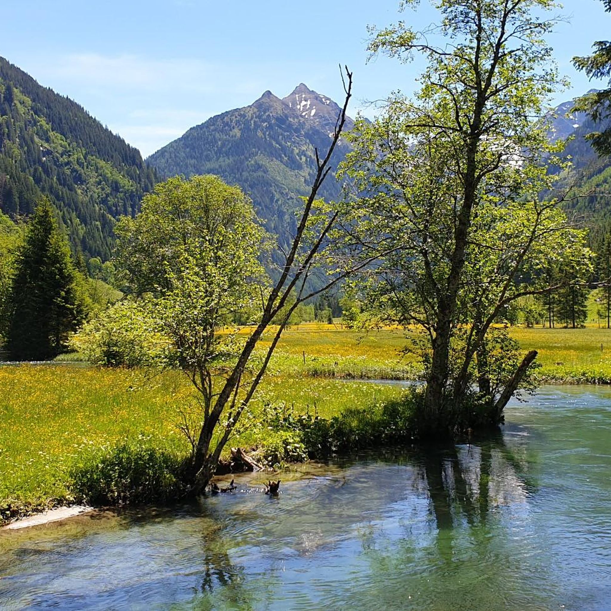
Gravel biking in Mitterberg offers a diverse landscape characterized by a blend of challenging terrain and scenic beauty. The region features routes with significant elevation gains, often traversing dense forests and offering views of impressive mountain ranges and clear lakes. Riders can expect a mix of tarmac and gravel paths, with some segments requiring advanced skills due to steep slopes. This varied topography makes Mitterberg suitable for a range of fitness and skill levels.
Best gravel bike trails in Mitterberg
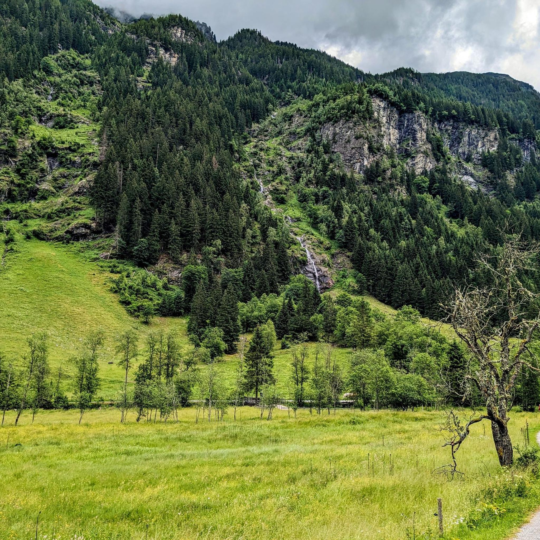
- The most popular gravel bike trail is Talbach Waterfall – Talbachklamm Gorge loop from Untertalbach, a 15.5 miles (24.9 km) trail that takes 1 hour 59 minutes to complete. This difficult route explores the scenic Talbachklamm Gorge and its waterfall.
- Another top favourite among local gravel bikers is Talbach Waterfall – Dachstein South Face loop from Schladming, a difficult 23.4 miles (37.7 km) path. This route offers views of the impressive Dachstein South Face while passing the Talbach Waterfall.
- Local gravel bikers also love the Enns Cycle Path (Ennsradweg) – Enns River Cycle Path loop from Schladming, a 21.0 miles (33.8 km) trail leading through the Enns River valley, often completed in about 1 hour 48 minutes.
- Gravel biking in Mitterberg is defined by dense forests, clear lakes, and views of mountain ranges like the Grimming Massif. The network offers options for different ability levels, from demanding routes to more accessible paths.
- The routes in Mitterberg are highly rated by the komoot community with an average score of 4.6 stars from over 20 reviews. More than 250 gravel bikers have used komoot to explore Mitterberg's varied terrain.
Last updated: August 13, 2026
4.0
(1)
8
riders
25.0km
02:00
830m
830m
Hard gravel ride. Very good fitness required. Mostly paved surfaces. Suitable for all skill levels.
4.5
(2)
12
riders
37.9km
02:53
1,050m
1,050m
Hard gravel ride. Very good fitness required. Mostly paved surfaces. Suitable for all skill levels.

Sign up for free
5.0
(2)
51
riders
33.8km
01:48
280m
280m
Moderate gravel ride. Good fitness required. Mostly paved surfaces. Suitable for all skill levels.
4.3
(3)
29
riders
22.5km
01:45
670m
670m
Hard gravel ride. Very good fitness required. Mostly paved surfaces. Suitable for all skill levels.
4.0
(1)
19
riders
41.2km
03:01
870m
870m
Hard gravel ride. Very good fitness required. Mostly paved surfaces. Suitable for all skill levels.
Get access to more routes and recommendations from other explorers.
Sign up for free
Already have an account?
Our route recommendations are based on thousands of hikes, rides, and runs completed by other people on komoot.
Start today with a free account
Your next adventure awaits.
Login or Signup
Tips from the Community

State border Salzburg–Styria (Mandling) Historical border town and valley pass (815 m) in the Enns valley. The village of Mandling lies exactly on the state border: the western part belongs to Radstadt (Salzburg), the eastern part to Schladming (Styria). The river Mandling, which shares its name, forms the natural border here and separates the two federal states. Ideal as a landmark on the Enns Cycle Path or as a starting point for hikes.
0
0

Option to charge the e-bike while enjoying a cool drink or delicious ice cream. Bosch chargers available, you should bring your own for other brands.
0
0

Beautiful view over all of Ramsau
0
0

Insane mountain range, imposing view
0
0
Very nice cycle and hiking trail. Also provides proper cooling in great heat.
1
0

Lots of paved roads
0
0

Simply great 🤩
1
0

Frequently Asked Questions
How many gravel bike trails are available in Mitterberg?
Mitterberg offers a diverse network of gravel bike trails, with 23 routes available for exploration. These range from easy paths to more challenging tours.
What is the general difficulty level of gravel biking in Mitterberg?
The gravel biking in Mitterberg caters to a range of skill levels, though it leans towards more challenging terrain. Out of 23 routes, 18 are rated as difficult, 4 as moderate, and 1 as easy. Riders can expect significant elevation gains and a mix of tarmac and gravel paths, with some segments requiring advanced skills.
What kind of terrain and landscapes can I expect on Mitterberg's gravel trails?
Mitterberg's gravel trails offer a blend of challenging terrain and scenic beauty. You'll encounter dense forests, clear lakes, and impressive mountain views, including the Grimming Massif. The routes feature a mix of tarmac and gravel paths, often with steep slopes and considerable elevation gains.
Are there any routes that feature waterfalls or impressive natural sights?
Yes, several routes highlight stunning natural features. For instance, the Talbach Waterfall – Talbachklamm Gorge loop from Untertalbach explores the scenic gorge and its waterfall. Another popular option is the Talbach Waterfall – Dachstein South Face loop from Schladming, which offers views of the impressive Dachstein South Face while passing the Talbach Waterfall. You can also visit the Untertalbach Wild Waters, a notable natural monument in the region.
Can I find routes with scenic viewpoints in Mitterberg?
Absolutely. The Mitterberg region is known for its impressive views. From certain points, you can enjoy panoramic vistas of Lake Zell, the Schmittenhöhe, and the Kitzsteinhorn. Wide hiking trails also provide beautiful views into the valleys surrounding Mariapfarr, and some gravel routes offer glimpses of the Grimming Massif.
Are there any circular gravel routes in Mitterberg?
Yes, many of the gravel routes in Mitterberg are designed as loops, allowing you to start and finish at the same point. Examples include the Enns River Cycle Path – Enns Cycle Path (Ennsradweg) loop from Schladming and the View of Hochwurzen – Gröbming loop from Schladming.
What do other gravel bikers say about the trails in Mitterberg?
The gravel trails in Mitterberg are highly regarded by the komoot community, with an average rating of 4.3 stars from over 40 reviews. Riders often praise the diverse terrain, the mix of tarmac and gravel paths, and the stunning natural beauty encountered along the routes.
What interesting sights or landmarks can I explore along the gravel routes?
Beyond the natural beauty, you can discover several interesting points. The Waldhäuslalm and Sondlalm are charming huts that can serve as resting points. The Toteisboden in Rohrmoos-Untertal is a unique natural monument. Additionally, the Friml Chapel Mitterberg offers a peaceful spot with views, and the Kulm Ski Flying Hill is another point of interest accessible via gravel routes.
Are there family-friendly gravel biking options in Mitterberg?
While many routes in Mitterberg are rated as difficult due to significant elevation and challenging terrain, there is at least one easy route available. For families, it's advisable to check the specific route details for distance, elevation, and surface type to ensure it matches the family's skill and fitness levels. The region offers diverse options, so easier sections or shorter loops might be suitable.
What is the best time of year for gravel biking in Mitterberg?
Mitterberg is primarily known for summer activities, making spring, summer, and early autumn ideal for gravel biking when trails are clear and weather conditions are favorable. While some areas are accessible for winter walks, gravel biking is best enjoyed outside of heavy snow seasons to ensure optimal trail conditions and safety.
Are there places to eat or stay near the gravel trails in Mitterberg?
Yes, the region offers various options for refreshments and accommodation. Near Zell am See, for example, there's an inn with panoramic views and regional cuisine accessible from Mitterberg. Huts like the Waldhäuslalm and Sondlalm also provide opportunities for a break and local fare along some routes.
Is public transport available to access the gravel trails in Mitterberg?
The region has varying levels of public transport access. While specific details for every trail are not available, major towns like Schladming, which serve as starting points for several routes, typically have public transport connections. It's recommended to check local bus or train schedules for specific access points to your chosen trail.
Where can I park my car when gravel biking in Mitterberg?
Parking availability can vary by trailhead. For routes starting in towns like Schladming or Untertalbach, there are often designated parking areas for outdoor enthusiasts. It's advisable to check the specific tour details on komoot for recommended parking locations near your chosen starting point.
Most popular routes in Mitterberg
Most popular attractions in Mitterberg

Get inspired with the komoot mobile app


Explore more
Browse the best Gravel rides in other regions.
