The best gravel rides in Otterwald
4.6
(45)
240
riders
50
rides
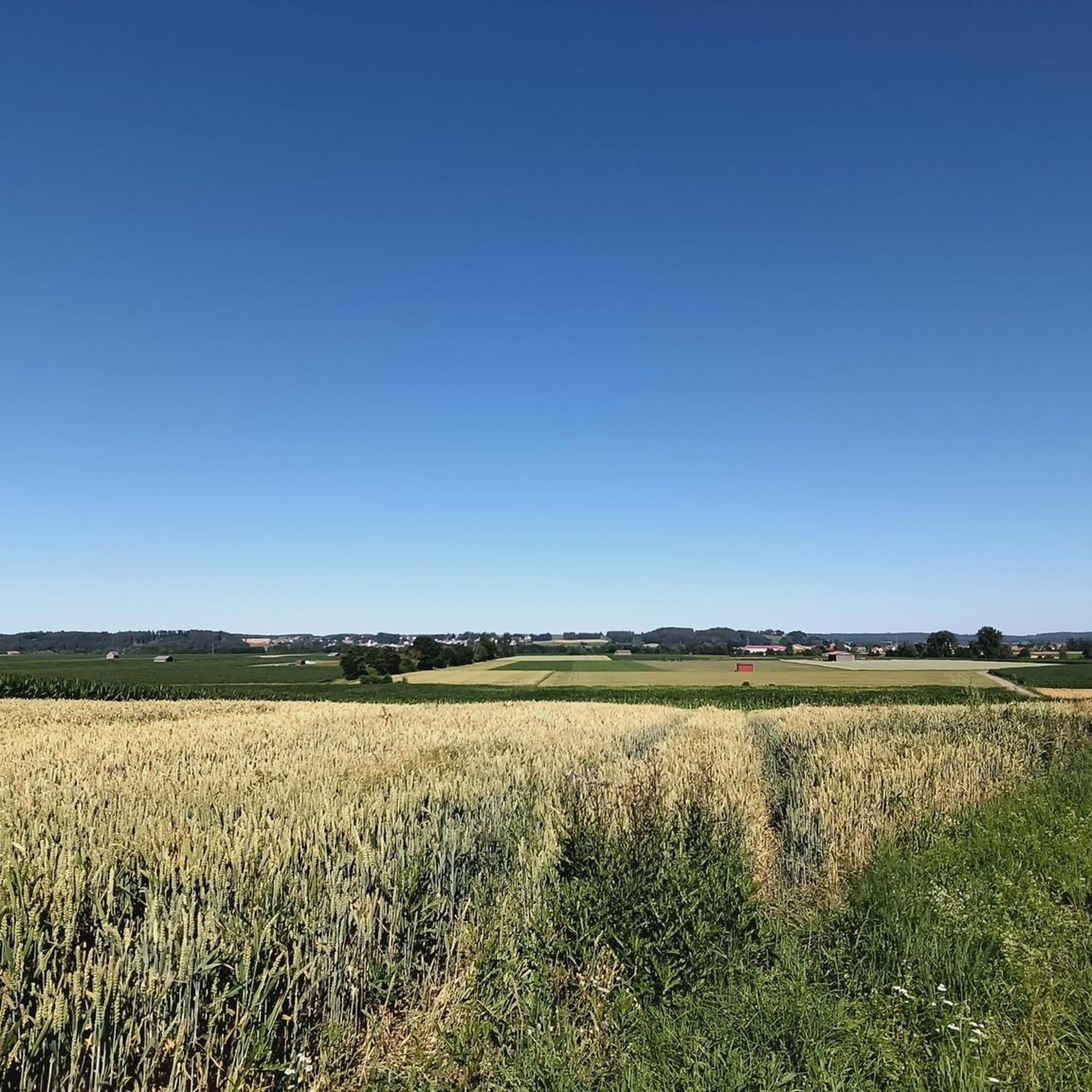
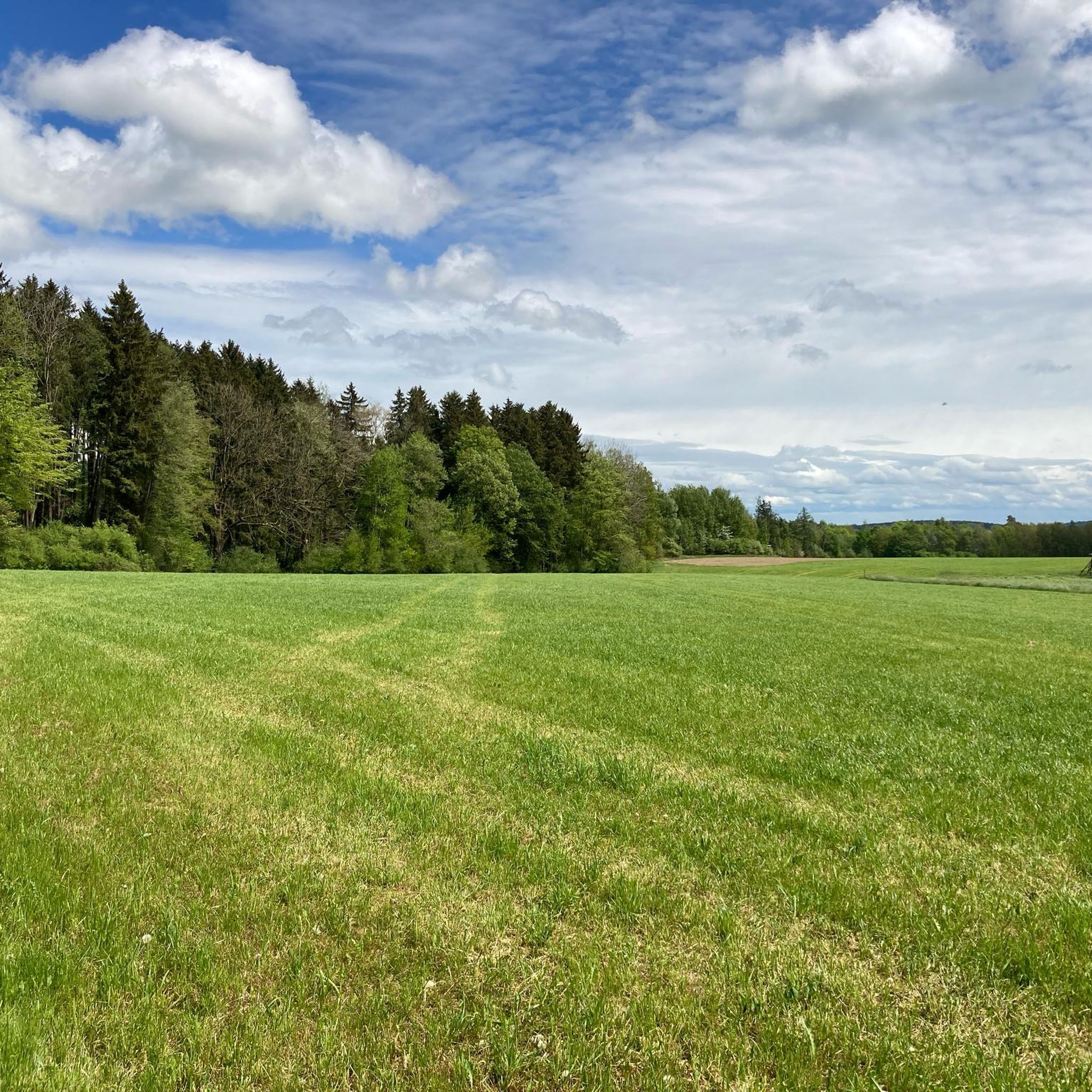
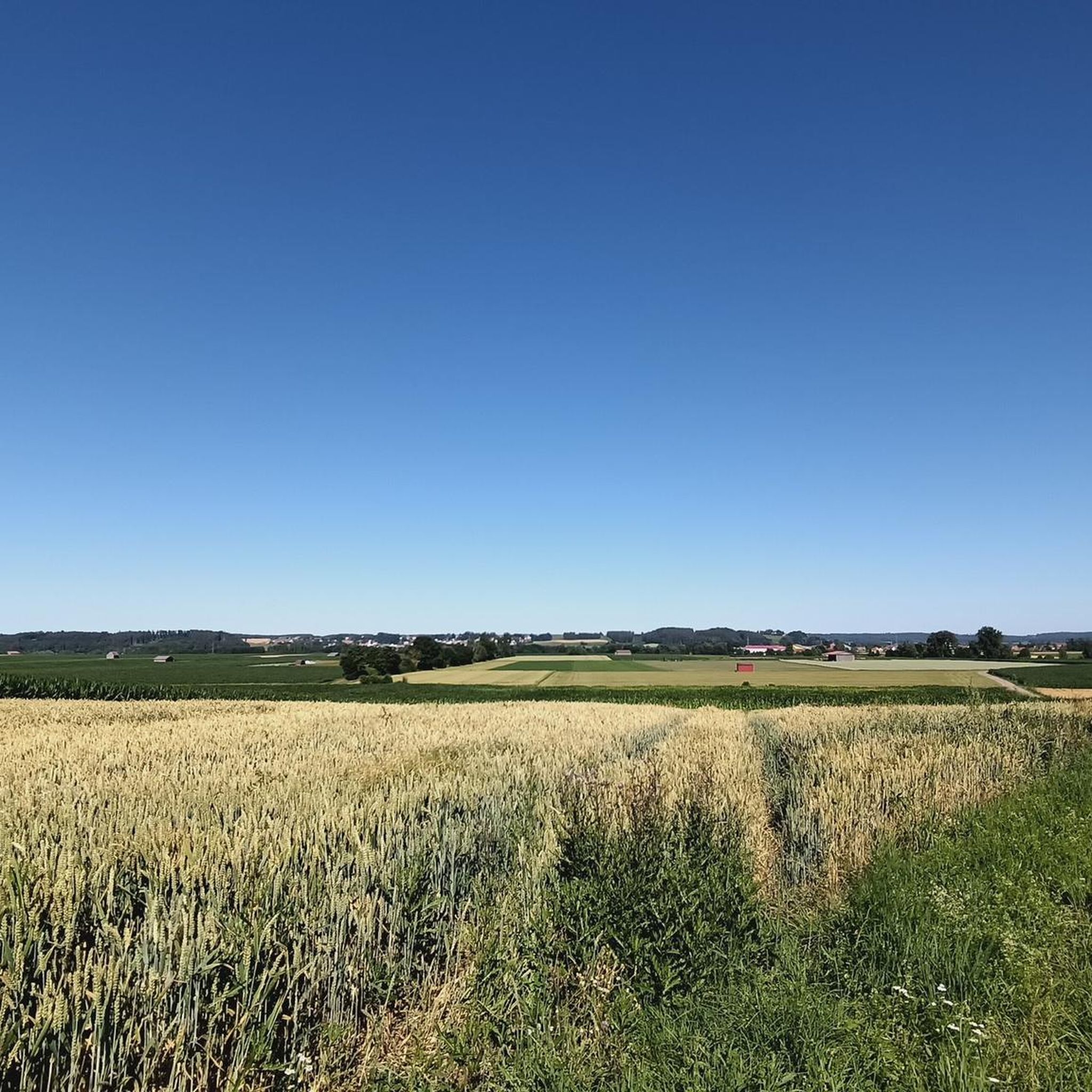
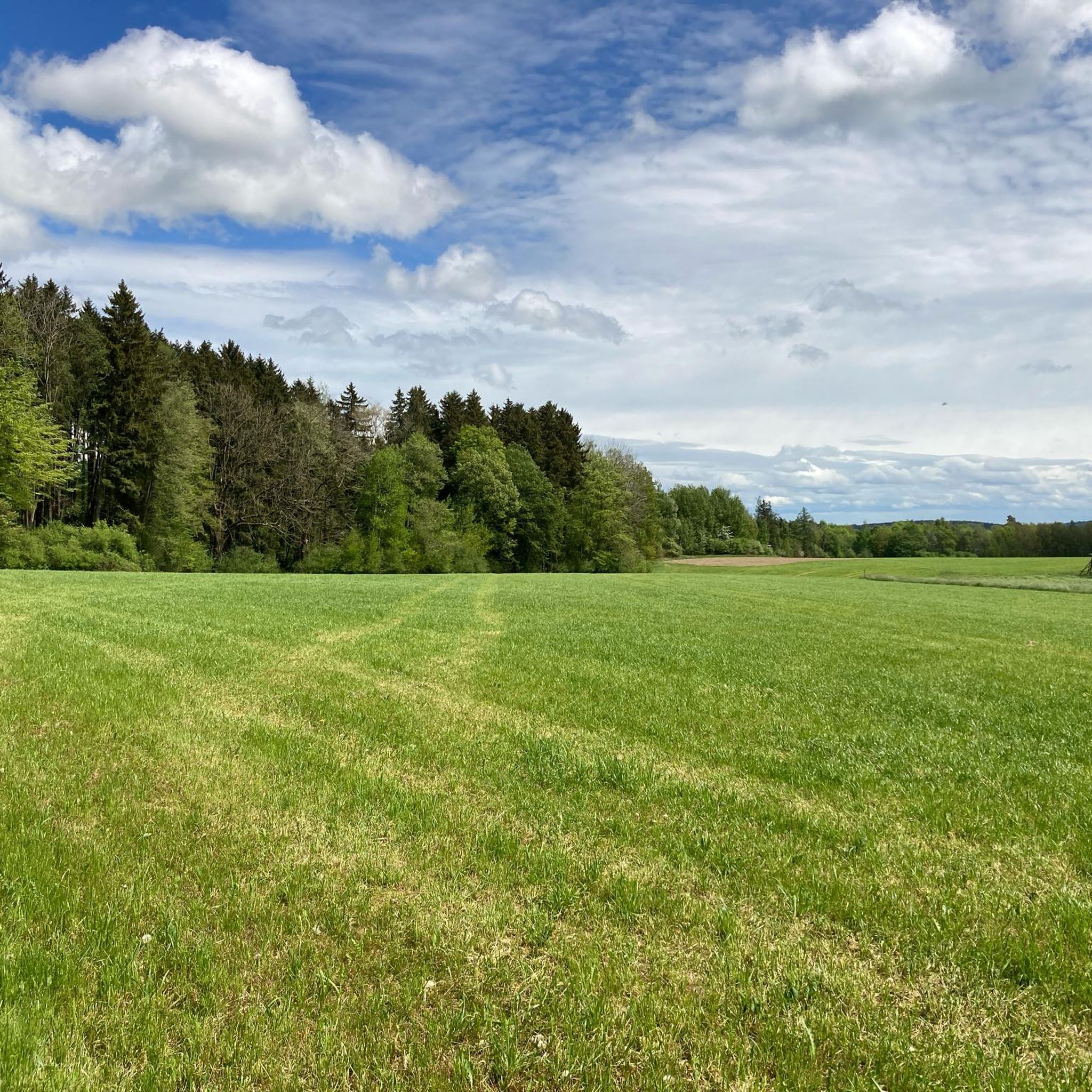
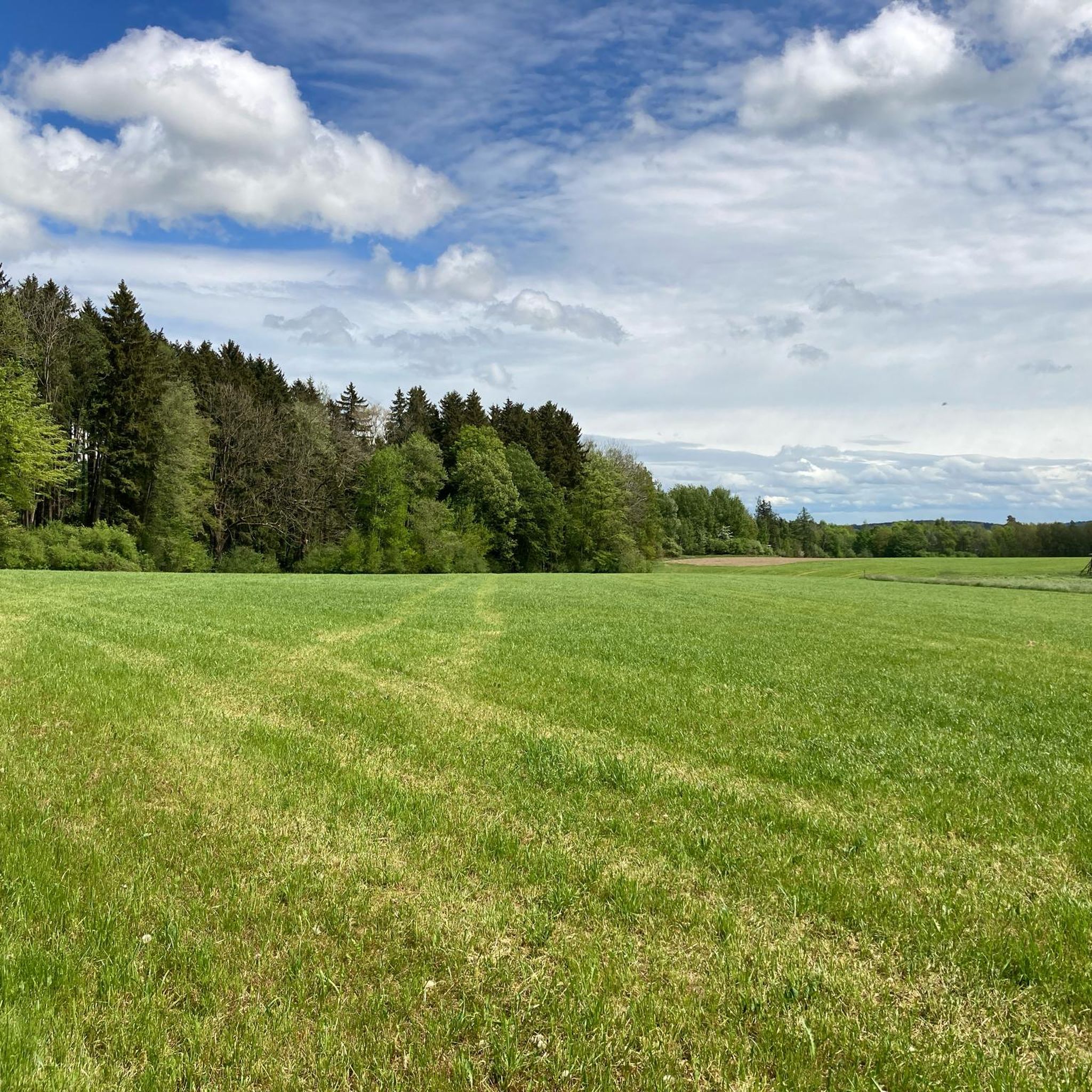
Gravel biking in Otterwald offers diverse terrain characterized by its hilly landscape, forming a natural boundary between the Roth and Günz valleys. The region features extensive forest cover, providing shaded sections ideal for riding. Elevations average around 625 meters, with the highest point reaching 660 meters, creating varied gradients suitable for engaging gravel routes. This area also forms a transition zone with the Memmingen dry valley, contributing to diverse scenery.
Best gravel bike trails in Otterwald
- The most popular gravel…
Last updated: July 17, 2026
4
riders
57.1km
03:23
390m
390m
Moderate gravel ride. Good fitness required. Mostly paved surfaces. Suitable for all skill levels.
4.0
(11)
47
riders
39.4km
02:26
270m
270m
Moderate gravel ride. Good fitness required. Mostly paved surfaces. Suitable for all skill levels.

Sign up for free
3.5
(2)
22
riders
36.9km
01:50
100m
100m
Easy gravel ride. Great for any fitness level. Mostly paved surfaces. Suitable for all skill levels.
4.9
(7)
16
riders
27.4km
01:30
160m
160m
Moderate gravel ride. Good fitness required. Mostly paved surfaces. Suitable for all skill levels.
4.5
(4)
17
riders
23.6km
01:35
180m
180m
Moderate gravel ride. Good fitness required. Mostly paved surfaces. Suitable for all skill levels.
Get access to more routes and recommendations from other explorers.
Sign up for free
Already have an account?
Our route recommendations are based on thousands of hikes, rides, and runs completed by other people on komoot.
Start today with a free account
Your next adventure awaits.
Login or Signup
Tips from the Community

The tour is designed so that you consciously experience the landscape and character of the region – not just rack up kilometers. This Komoot tour is worthwhile because it provides you with a well-thought-out route where real highlights serve as landmarks and experiences – offering more than just training.
0
0

Only a few cars are allowed to park at the wine market now, and the pedestrian zone from the town hall to the Schrannenplatz has been repaved. I can't say whether the number of shops opening in the city center has improved. Many shops have opened in northern Memmingen, and new commercial space has been created, which will probably eventually extend as far as Steinheim. I live in Kempten, and they were smarter there, which is why the city center is still bustling even on Saturday afternoons.
0
0

The first evidence of settlement dates back to the Stone Age, as demonstrated by finds along the Iller River near Ferthofen. Records only reappear in the 4th century, as the Augsburg library was destroyed several times, resulting in the loss of documents. Mammingin was first mentioned in 1128. The city walls, towers, and gates were last expanded in 1445.
0
0

The hiking and cycling path runs in a straight line alongside the Iller River. The path is gravelled and grassy in the middle. Alongside the cycle path, you can see the floodplain forest. Between the Iller River and the cycle path, there is a grassy strip about 3 meters wide. Wildlife can probably be spotted here frequently, as there is a hunting lodge in between. At least the fish were also taken into consideration at the weir. A fish ladder is located along the edge.
0
0

The entire city center is worth a visit.
1
0
Unfortunately a boring section
0
0
The entire city center is worth a visit.
0
0

Frequently Asked Questions
How many gravel bike trails are available in Otterwald?
Otterwald offers a wide selection of gravel bike trails, with over 80 routes available for exploration. These trails cater to various skill levels and preferences, ensuring there's something for everyone.
What are the difficulty levels of gravel biking trails in Otterwald?
Otterwald's gravel trails cater to various skill levels. You'll find a mix of easier forest paths, moderate routes, and some more challenging trails with varied gradients. Out of over 80 routes, 11 are considered easy, 56 moderate, and 14 difficult, ensuring options for both beginners and experienced riders.
Are there family-friendly gravel bike routes in Otterwald?
Yes, Otterwald offers several routes suitable for families, particularly those looking for easier forest paths. The extensive forest cover provides shady sections, making it pleasant even on warmer days. Look for routes categorized as 'easy' for the most family-friendly options.
What kind of terrain can I expect on Otterwald's gravel bike trails?
Otterwald is characterized by its hilly and varied terrain, acting as a natural boundary between the Roth and Günz valleys. You can expect diverse gradients, extensive forest cover, and a mix of ecological zones as the area forms a transition with the Memmingen dry valley. This creates engaging routes with varied surfaces like forest paths and country roads.
Are there any circular gravel trails in Otterwald?
Yes, many of the gravel bike routes in Otterwald are designed as loops, allowing you to start and finish at the same point. For example, the Lourdes Grotto – Iller River near Egelsee loop from Niederrieden is a popular circular trail exploring the Iller River area.
What are some scenic highlights or attractions along the gravel bike trails in Otterwald?
Otterwald offers several points of interest. You might encounter the Unterhart Forest Road, known for its shady sections, or the Grünenfurt Trail, a flowing path hidden in the forest. Other notable spots include Eisenburg Castle and the Behringer Monument.
What do other gravel bikers enjoy the most about gravel biking in Otterwald?
The routes in Otterwald are highly rated by the komoot community, with an average score of 4.5 stars from over 60 reviews. Riders often praise the diverse terrain, the extensive forest cover providing shade, and the variety of routes suitable for different skill levels. The combination of challenging hills and peaceful forest paths is frequently highlighted.
What is the best time of year for gravel biking in Otterwald?
Otterwald is suitable for gravel biking throughout much of the year. The extensive forest cover provides pleasant, shady sections, making it enjoyable even on warmer days. For cooler temperatures and vibrant foliage, spring and autumn are particularly appealing. Winter conditions can vary, so checking local weather is advisable.
Are there any routes that combine road cycling with gravel sections?
Yes, some routes in Otterwald offer a mix of road cycling and gravel sections, providing a varied riding experience. An example is the Lourdes Grotto – Road Cycling Speed Route loop from Niederrieden, which is a moderate path ideal for a quicker ride that blends different surfaces.
Where can I find longer gravel bike routes in Otterwald?
For longer rides, Otterwald has several options. The Lourdes Grotto – Iller River near Egelsee loop from Niederrieden is a substantial 35.5-mile (57.1 km) trail. Another good choice is the Road Cycling Speed Route – Iller-Roth-Günz Railway Cycle Path loop from Steinheim, which covers 29.7 miles (47.8 km).
Are there any routes that follow old railway paths?
Yes, you can find routes that incorporate old railway paths, offering a unique and often flatter riding experience. The Road Cycling Speed Route – Iller-Roth-Günz Railway Cycle Path loop from Steinheim is a great example, leading through the Iller-Roth-Günz Railway Cycle Path.
Can I find routes that explore the Iller River area?
Absolutely. The Iller River is a prominent feature in the region, and several gravel routes incorporate its scenic banks. A popular option is the Iller Cycle Path – Iller Bridge at Kellmünz loop from Memmingen, which offers a pleasant ride along the river.
Most popular routes in Otterwald
Most popular attractions in Otterwald

Get inspired with the komoot mobile app


Explore more
Browse the best Gravel rides in other regions.
