The best gravel rides around Craigielea
4.3
(23)
310
riders
6
rides
Gravel biking around Craigielea offers a network of routes that traverse diverse landscapes, including lochs, rivers, and country parks. The terrain features a mix of canal towpaths, forest trails, and open paths, providing varied surfaces for gravel cyclists. Elevations range from moderate climbs to more challenging ascents, with some routes reaching over 600 meters of elevation gain. The region's natural features, such as Craigallian Loch and Mugdock Country Park, are accessible via these routes.
Best gravel bike trails around Craigielea
…Last updated: October 20, 2026
4.5
(2)
47
riders
60.4km
03:57
710m
710m
Hard gravel ride. Very good fitness required. Mostly paved surfaces. Suitable for all skill levels.
3.8
(4)
52
riders
46.6km
02:55
490m
490m
Hard gravel ride. Very good fitness required. Mostly paved surfaces. Suitable for all skill levels.

4.5
(13)
83
riders
56.7km
03:11
560m
560m
Hard gravel ride. Very good fitness required. Mostly paved surfaces. Suitable for all skill levels.
26
riders
103km
07:15
1,260m
1,260m
Hard gravel ride. Very good fitness required. Mostly paved surfaces. Suitable for all skill levels.
71
riders
49.5km
03:16
570m
570m
Hard gravel ride. Very good fitness required. You may need to push your bike for some segments of this route.
Our route recommendations are based on thousands of hikes, rides, and runs completed by other people on komoot.
Start today with a free account
Your next adventure awaits.

Tips from the Community

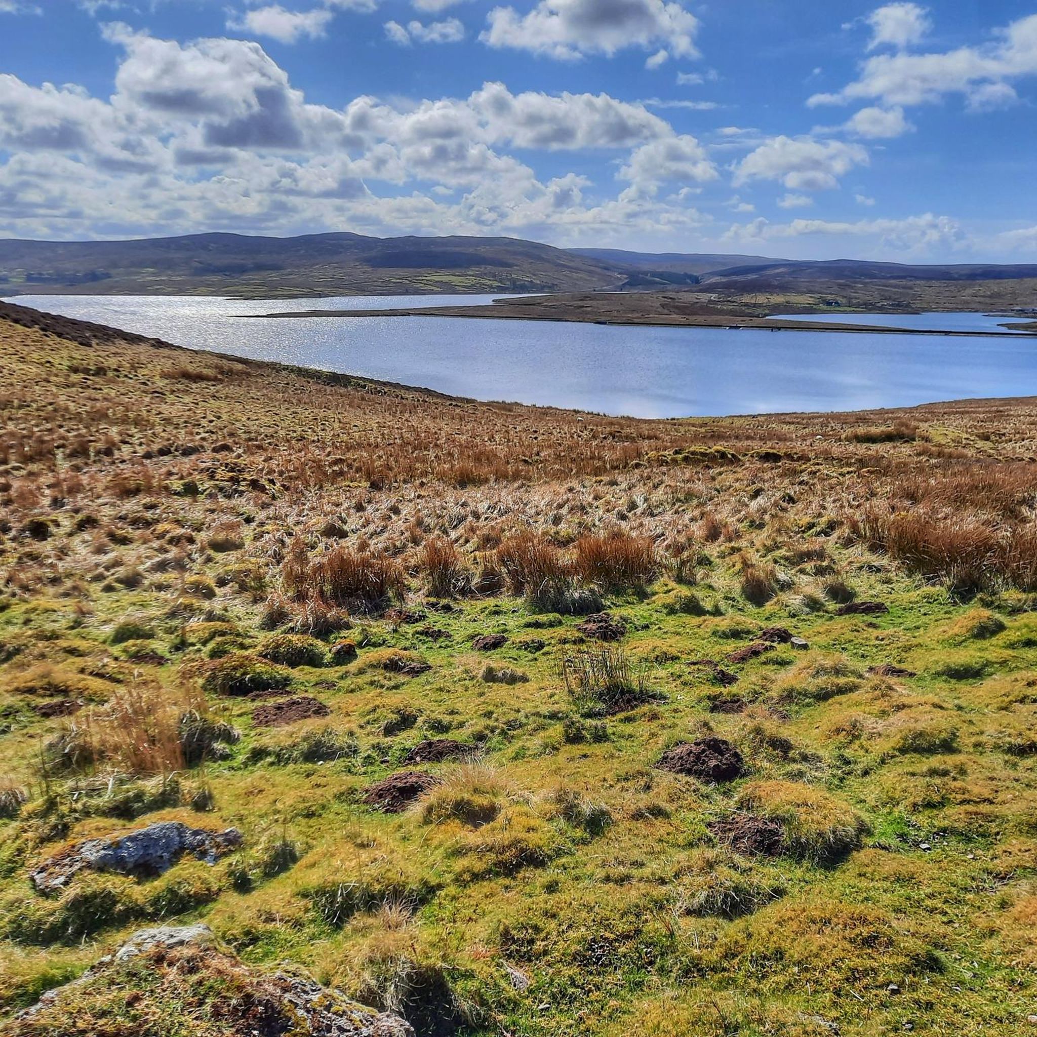
Craigallian Loch lies idyllically between green hills at the start of the West Highland Way. The small lake is surrounded by moorland and pasture landscape and already offers a taste of the Scottish scenery.
5
0

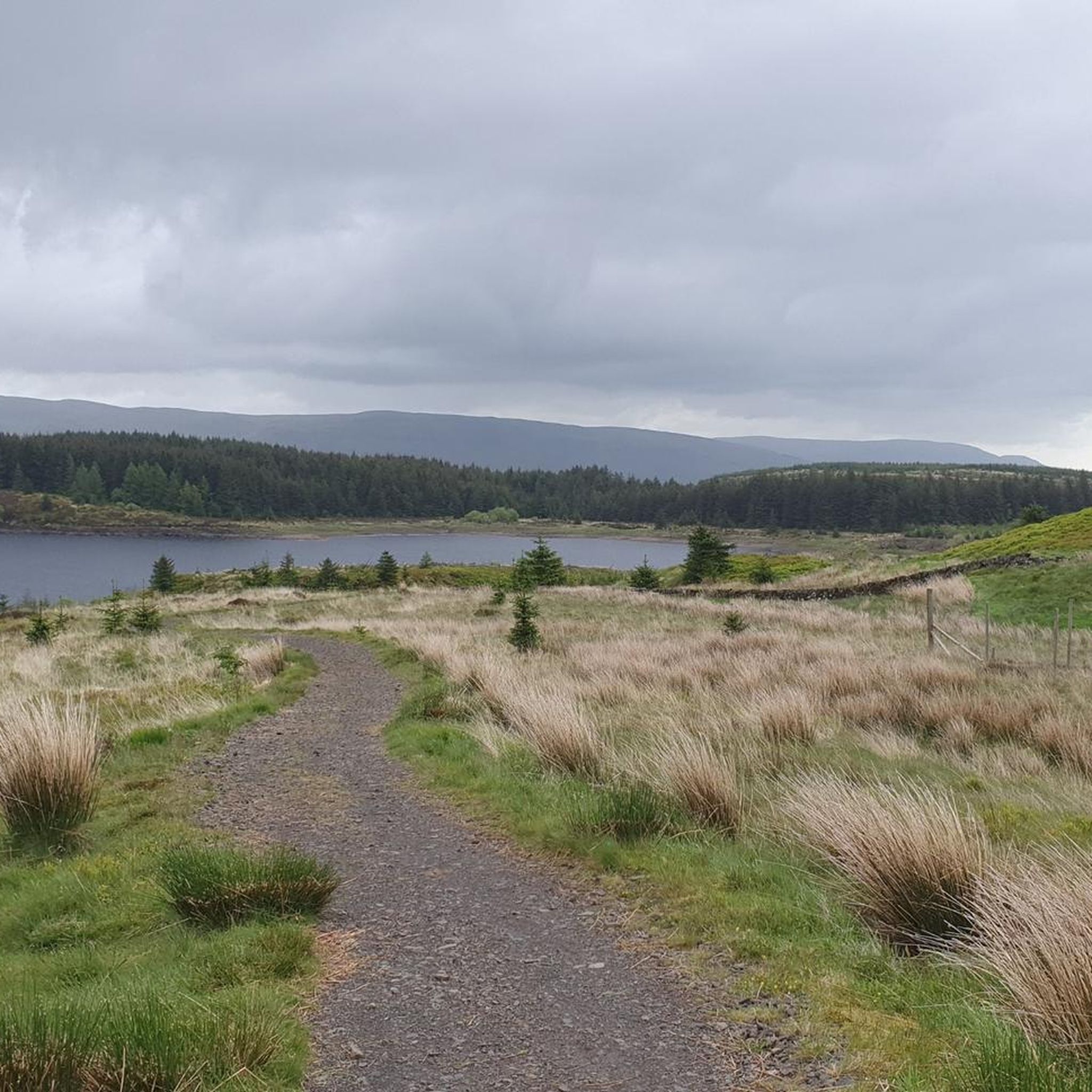
Nice challenging cycling through forest and between lakes
0
0

Beautiful smooth gravel surface. Steep in sections. Really enjoyed a s a descent!
0
0


A gravel track that follows the trail of the Katrine Aqueducts that brings Glasgow's drinking water all the way from the Trossachs to Milngavie. Look out for exposed sections of the aqueducts as you travel along, one section in particular has a date marker of 1892 visible from the track. Stunning views over the Kilpatrick Hills and you can always drop down to Glengoyne distillery for a wee dram on the way past!
1
0


Frequently Asked Questions
How many gravel bike trails are available around Craigielea?
There are 10 gravel bike routes available around Craigielea. These routes offer a diverse range of experiences, from moderate to challenging rides.
What is the general difficulty level of gravel biking routes in Craigielea?
The gravel biking routes in Craigielea primarily cater to experienced riders, with 8 out of 10 routes classified as difficult. There are also 2 moderate routes for those seeking a slightly less strenuous ride.
What kind of terrain can I expect on Craigielea's gravel trails?
You can expect a varied terrain including canal towpaths, forest trails, and open paths. The routes traverse diverse landscapes such as lochs, rivers, and country parks, providing a mix of surfaces for gravel cyclists.
Are there any circular gravel bike routes in Craigielea?
Yes, many of the routes around Craigielea are circular. For example, the Craigallian Loch – Trails at Mugdock Country Park loop from Garscadden and the Stockingfield Junction Bridge – Forth and Clyde Canal Towpath loop from Jordanhill are both excellent circular options.
Are there any routes suitable for beginners or those looking for an easier ride?
While most routes are challenging, there are a couple of moderate options. The Loch Humphrey – Bankies Bike Sculpture loop from Jordanhill is a moderate 30.8 km route that offers a good experience without the most extreme climbs.
How long are the gravel bike trails near Craigielea?
The gravel bike trails near Craigielea vary in length. You can find routes ranging from approximately 30 km, like the Loch Humphrey – Bankies Bike Sculpture loop from Jordanhill, up to 70 km, such as the Stockingfield Junction Bridge – Forth and Clyde Canal Towpath loop from Jordanhill.
Are there any routes with significant elevation gain for a challenge?
Absolutely. Many routes feature significant elevation gain. For instance, the River Leven – Balloch Castle loop from Kilpatrick includes over 640 meters of ascent, providing a substantial challenge for experienced riders.
What can I see along the gravel bike trails in Craigielea?
Along the trails, you can enjoy natural features like Craigallian Loch and Mugdock Country Park. There are also several reservoirs in the wider area, such as Balgray Reservoir and Barcraigs Reservoir. For cultural sights, you might find attractions like the Kelvingrove Art Gallery and Museum or the Glasgow Botanic Gardens nearby.
What do other gravel bikers enjoy the most about gravel biking in Craigielea?
The area is highly rated by the komoot community, with an average score of 4.3 stars from over 19 reviews. Over 350 gravel bikers have explored Craigielea's varied terrain, often praising the diverse landscapes, including lochs, canal towpaths, and country park trails.
Are the gravel trails in Craigielea suitable for families or dog-friendly?
While the guide primarily features routes classified as moderate to difficult, the presence of country parks and canal towpaths suggests that certain sections might be suitable for families or dog walkers, especially if sticking to less challenging parts. However, specific family-friendly or dog-friendly routes are not explicitly highlighted as easy options.
Are there any viewpoints or natural features to look out for on the trails?
Yes, the routes often pass by notable natural features. Craigallian Loch is a prominent feature on some trails, and you can also find viewpoints like the View of Barrhead Reservoir in the surrounding area.
Most popular attractions around Craigielea

Get inspired with the komoot mobile app


Explore more
Browse the best Gravel rides in other regions.
