The best gravel rides around Sitlington
4.6
(17)
141
riders
12
rides
Gravel biking around Sitlington offers a diverse landscape for riders, located near Wakefield in West Yorkshire. The region features a mix of former railway lines, canal paths, and woodland trails. Riders can expect varied terrain, including flat, accessible sections along waterways and more challenging routes through local woodlands and open countryside. The network of paths provides options for different skill levels, making Sitlington gravel biking accessible.
Best gravel bike trails around Sitlington
- The most popular gravel bike trail is Newmillerdam…
Last updated: July 17, 2026
4.6
(9)
89
riders
62.4km
03:54
500m
500m
Hard gravel ride. Very good fitness required. Mostly paved surfaces. Suitable for all skill levels.
11
riders
45.0km
02:46
500m
500m
Hard gravel ride. Very good fitness required. Mostly paved surfaces. Suitable for all skill levels.

Sign up for free
4.7
(3)
11
riders
46.9km
02:55
330m
330m
Moderate gravel ride. Good fitness required. Mostly paved surfaces. Suitable for all skill levels.
5.0
(4)
7
riders
77.4km
04:36
590m
590m
Hard gravel ride. Very good fitness required. Mostly paved surfaces. Suitable for all skill levels.
7
riders
Moderate gravel ride. Good fitness required. Mostly paved surfaces. Suitable for all skill levels.
Get access to more routes and recommendations from other explorers.
Sign up for free
Already have an account?
Our route recommendations are based on thousands of hikes, rides, and runs completed by other people on komoot.
Start today with a free account
Your next adventure awaits.
Login or Signup
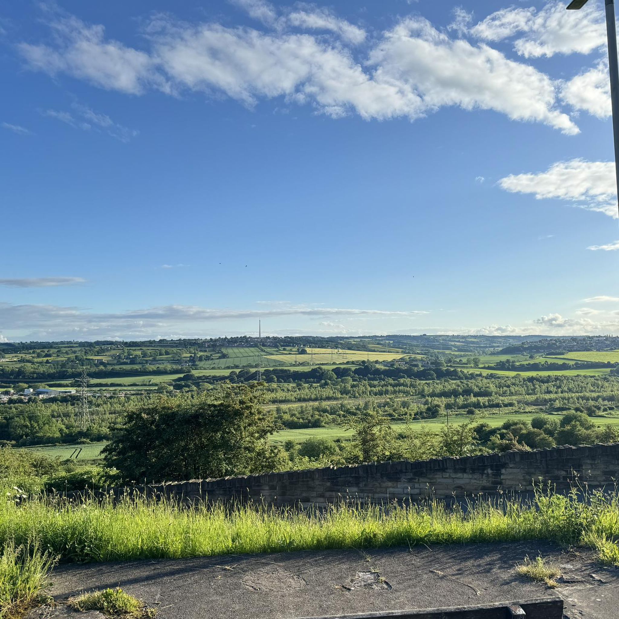
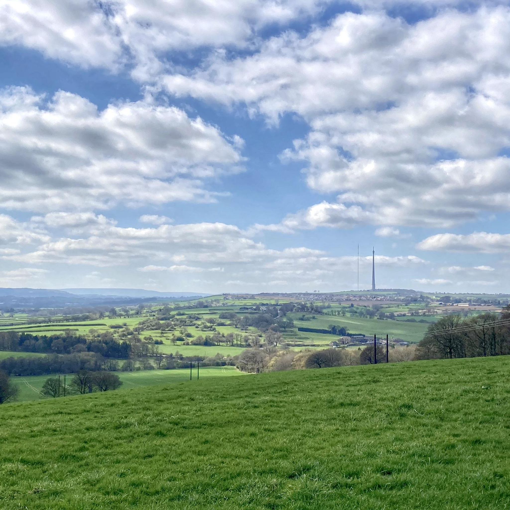
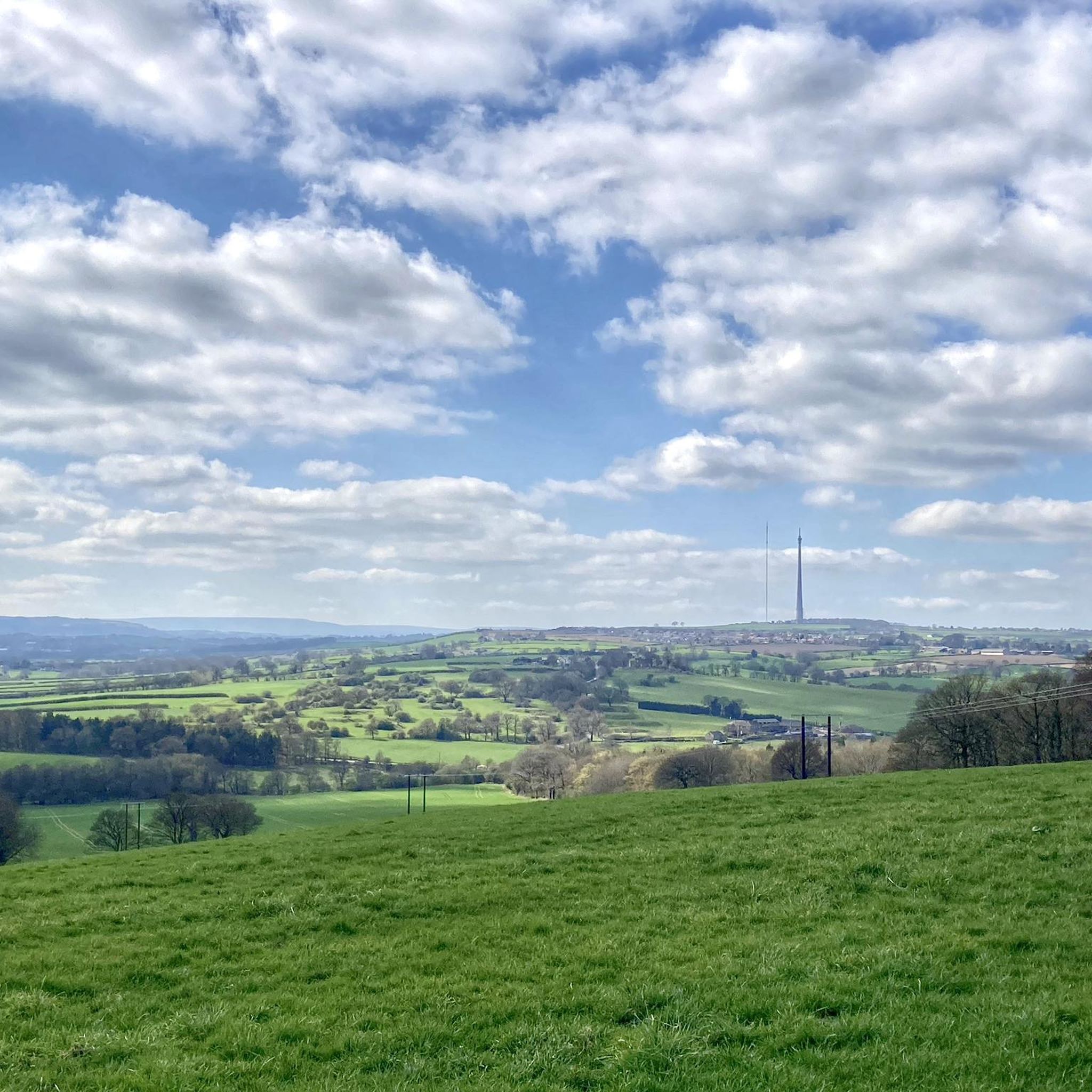
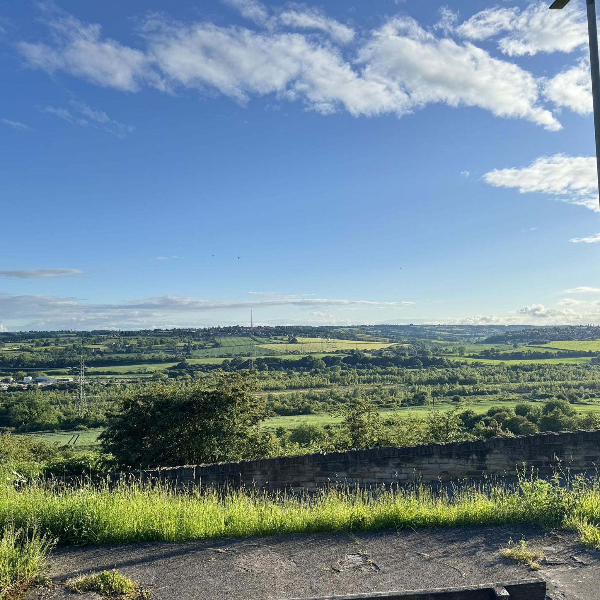
Tips from the Community

nice little circular and the res
0
0


Lots of historic noticeboards explaining the background to this former rail line and the local Stairfoot station
0
0


This park consists of lakes, ponds, woodland, grassland and a section of the Barnsley Canal. There's a cycle way throughout and some benches dotted around which make a great place to stop and refuel.
1
0
Frequently Asked Questions
What kind of terrain can I expect on gravel bike trails near Sitlington?
The primary gravel biking experience near Sitlington is along the Greenbrier River Trail, a 78-mile rail-trail known for its mostly flat terrain with a gentle 1% grade. This makes it accessible for various fitness levels. Beyond this, the broader Pocahontas County, often called "Nature's Mountain Playground," offers diverse landscapes including mountainous terrain, dense forests, and other unpaved roads within the Monongahela National Forest, providing a mix of easy to more challenging surfaces.
How many gravel bike trails are available around Sitlington?
Sitlington and the surrounding Pocahontas County area offer a significant number of routes for gravel biking. While the Greenbrier River Trail is the main attraction, there are numerous other unpaved roads and trails, particularly within the Monongahela National Forest, providing a wide array of options for exploration.
Are there gravel bike trails suitable for beginners or families in Sitlington?
Yes, the Greenbrier River Trail is exceptionally well-suited for beginners and families. Its flat terrain and gentle grade make it very accessible. It's a former railroad line converted for hiking and biking, offering a smooth and enjoyable ride through scenic riverside forests without significant climbs.
What natural features or landmarks can I see along the gravel bike trails?
Along the Greenbrier River Trail, you'll encounter breathtaking views of the Appalachian Mountains, cross 35 bridges, and pass through two tunnels, including the 402-foot-long Droop Mountain Tunnel and the 511-foot-long Sharps Tunnel. The trail also parallels the Greenbrier River itself. In the wider region, you can explore areas near Newmillerdam Lake and Cold Hiendley Reservoir, offering diverse natural scenery.
Are there any challenging gravel routes for experienced riders?
While the Greenbrier River Trail is largely flat, the broader Pocahontas County and Monongahela National Forest offer more challenging mountainous terrain and unpaved roads for experienced riders seeking greater elevation changes and technical sections. Routes like the Newmillerdam Woods Trail – Cold Hiendley Reservoir loop from Dewsbury, with over 500 meters of elevation gain, provide a more demanding experience.
What do other gravel bikers enjoy the most about gravel biking in Sitlington?
The area is highly rated by the komoot community, with an average score of 4.6 stars. Reviewers often praise the diverse landscapes, from accessible rail-trails to more challenging woodland paths, and the scenic beauty of the region, particularly along the Greenbrier River.
Are there any circular gravel bike routes around Sitlington?
Yes, there are several circular routes available. For instance, the Millennium Bridge (Castleford) – RSPB St Aidan's Nature Reserve loop from Wakefield Kirkgate offers a moderate 22.7-mile circular path with scenic views. Another option is the Fairies Hill Moorings – Stanley Ferry Marina loop from Wakefield Kirkgate, which is 25.4 miles long and follows canal-side paths.
Is it possible to find accommodation or places to eat near the gravel trails?
Yes, while the Greenbrier River Trail offers free, first-come, first-served rustic tent sites directly along the trail, nearby towns provide additional lodging options. For dining, you'll find cafes and pubs in the towns surrounding the trail and within Pocahontas County, offering places to refuel after your ride.
What is the best time of year for gravel biking in Sitlington?
The region, known as "Nature's Mountain Playground," is generally enjoyable for outdoor activities from spring through autumn. These seasons offer pleasant temperatures and vibrant scenery, making them ideal for exploring the Greenbrier River Trail and other gravel routes. Winter riding is possible but may require more preparation for colder conditions.
Are there any gravel routes that offer a serene escape with limited cell service?
Yes, the upper sections of the Greenbrier River Trail are located within the National Radio Quiet Zone. This area offers a unique and serene escape with limited cell service, providing an opportunity for a truly uninterrupted ride and a chance to visit the Green Bank Observatory.
Can I combine gravel biking with other activities in the Sitlington area?
Absolutely. Sitlington's location in Pocahontas County means you're close to a wealth of outdoor activities. The Greenbrier River itself offers opportunities for water-based activities. You can also explore nearby attractions like Stanley Ferry Marina, or visit state parks such as Beartown State Park and Droop Mountain Battlefield State Park for hiking and scenic views.
Are there any gravel routes that pass by significant historical sites?
The Greenbrier River Trail, being a former railroad line, features historical mile markers and remnants of the old railroad infrastructure. Additionally, the region is rich in history, with sites like Droop Mountain Battlefield State Park nearby, offering insights into the area's past.
Most popular attractions around Sitlington

Get inspired with the komoot mobile app


Explore more
Browse the best Gravel rides in other regions.
