The best gravel rides around Barbon
5.0
(2)
36
riders
3
rides
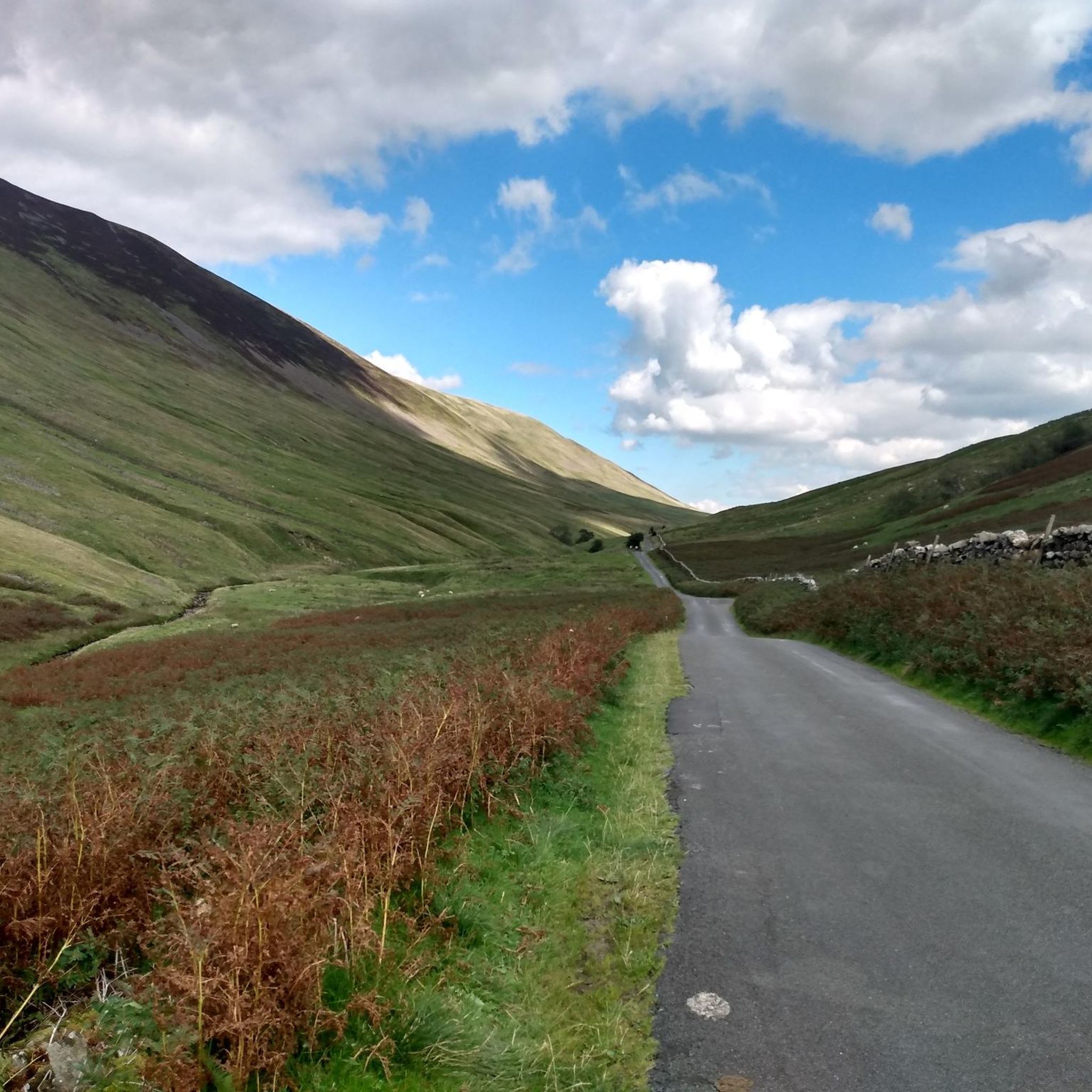
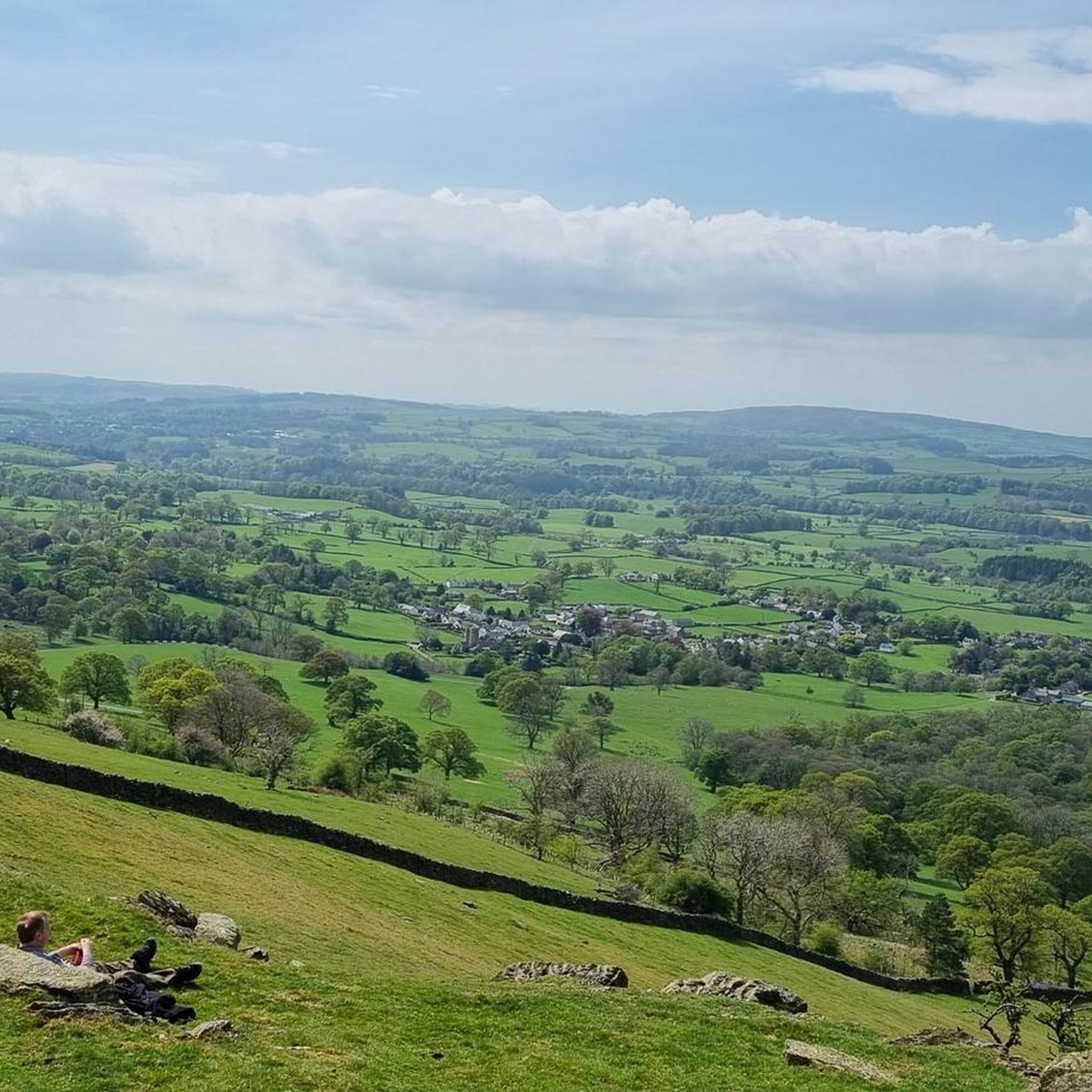
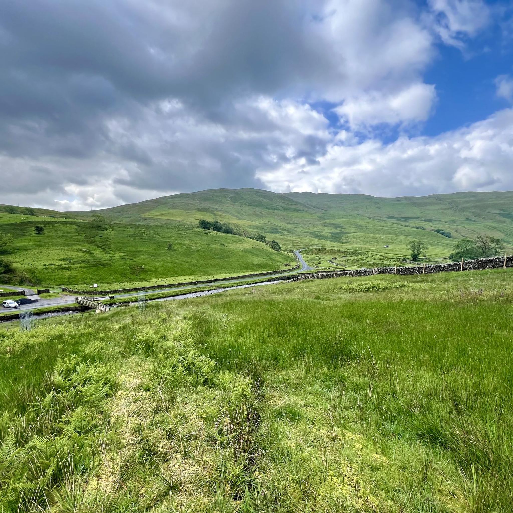
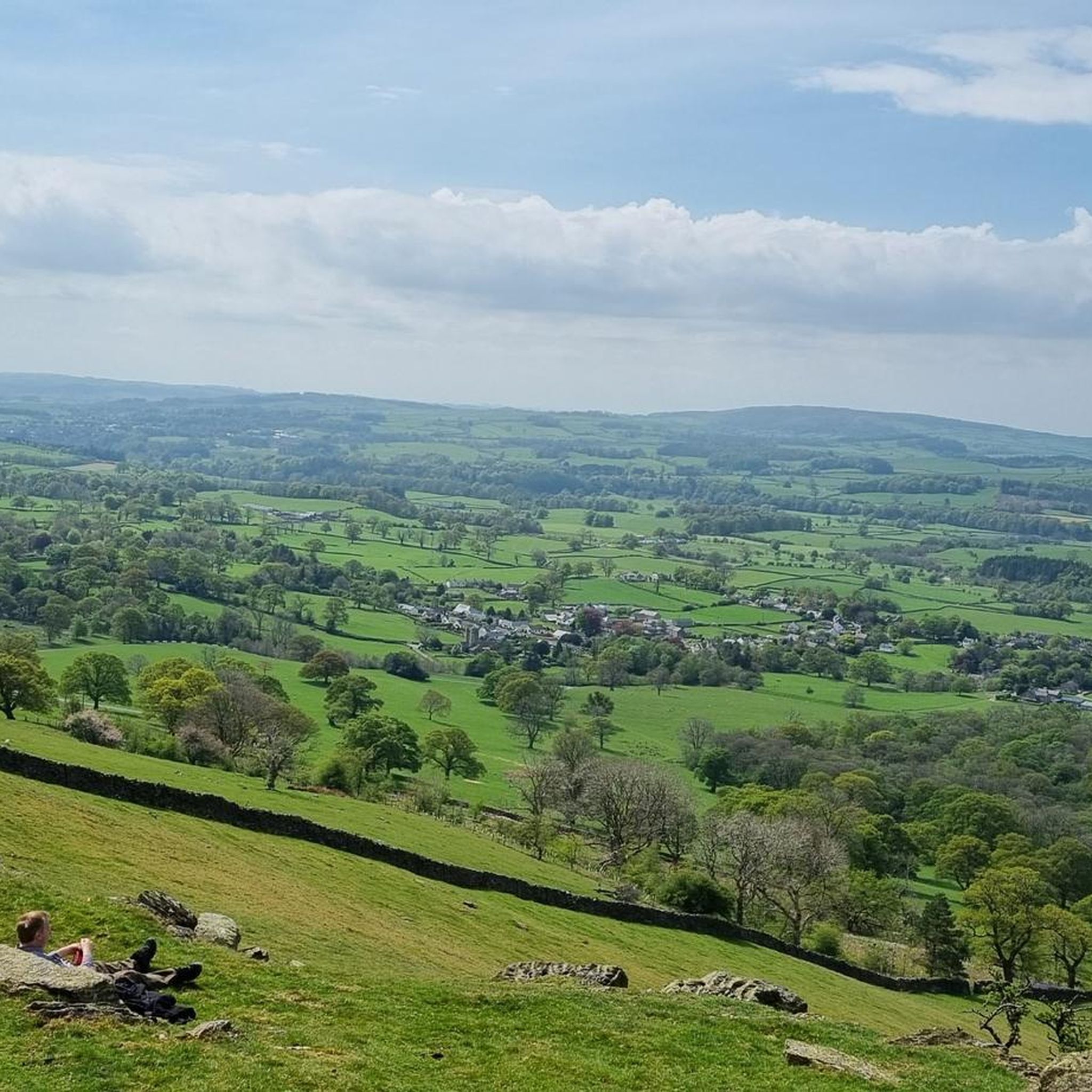
Gravel biking around Barbon features a landscape characterized by dales, valleys, and elevated terrain, offering varied riding experiences. The area is situated on the edge of the Yorkshire Dales National Park, providing access to an extensive network of trails. Barbon Beck flows through Barbondale, overlooked by Barbon High Fell, contributing to the diverse topography. These paths often involve significant elevation gains, making them suitable for experienced gravel bikers.
Best gravel bike trails around Barbon
- The most popular gravel bike trail…
Last updated: July 16, 2026
5.0
(1)
10
riders
42.0km
03:01
650m
650m
Hard gravel ride. Very good fitness required. You may need to push your bike for some segments of this route.
6
riders
20.0km
01:23
350m
350m
Moderate gravel ride. Good fitness required. Mostly paved surfaces. Suitable for all skill levels.

Sign up for free
5
riders
40.2km
02:44
730m
730m
Hard gravel ride. Very good fitness required. You may need to push your bike for some segments of this route.
4
riders
26.4km
01:56
420m
420m
Hard gravel ride. Good fitness required. You may need to push your bike for some segments of this route.
2
riders
83.5km
05:30
1,120m
1,120m
Hard gravel ride. Very good fitness required. Mostly paved surfaces. Suitable for all skill levels.
Our route recommendations are based on thousands of hikes, rides, and runs completed by other people on komoot.
Start today with a free account
Your next adventure awaits.
Login or Signup
Tips from the Community


Lovely little cafe at the railway station. Open seven days a week, March to October, 10.00-16.00.
0
0


Great cycling road in either direction, steady climb with a couple of tough sections heading east. Tough climb at the start heading west then a great descent! My favourite road!
0
0
Large rocks anda terrible ride unless you’re on an MTB, this isn’t fun if you really ride gravel and aren’t on a Leccy bike. Be warned, maybe someone has decided to add shale and rocks to make it un rideable.
0
0

Frequently Asked Questions
What is the general difficulty level of gravel biking trails around Barbon?
Gravel biking around Barbon is characterized by challenging terrain. Most routes are classified as difficult, featuring significant elevation gains and descents through dales and valleys. There is one moderate route available for those seeking a slightly less demanding ride.
Are there any beginner-friendly gravel routes in Barbon?
While many routes are challenging, the Gearstones Ruined Barns – Ribblehead Viaduct loop from Ribblehead is classified as moderate. This route covers approximately 19.9 miles (32 km) with an elevation gain of around 345 meters, offering a good option for those looking for a less strenuous experience compared to the more difficult trails.
What kind of distances and elevation gains can I expect on Barbon's gravel trails?
The gravel trails in Barbon typically range from approximately 19.9 miles (32 km) to 26.1 miles (42 km) in length. You should prepare for significant elevation gains, which can vary from around 345 meters on moderate routes to over 720 meters on the more challenging trails, such as the Barbon Dale Road – Kingsdale Valley Road loop from Casterton.
Where can I find parking for gravel biking trails in the Barbon area?
Many popular gravel routes in the Barbon area, particularly those around the Ribblehead Viaduct, often have parking available near their starting points. For routes like the Ribblehead Viaduct – View of Pen-y-Ghent loop from Ribblehead, you can usually find parking in designated areas near the viaduct itself. For other routes, such as those starting from Casterton, local parking options may be available. Always check specific route details on komoot for the most accurate parking information.
Are there any public transport options to access gravel biking routes in Barbon?
Access to Barbon's gravel routes via public transport can be limited due to the rural nature of the area. However, some routes, particularly those around Ribblehead, are accessible via the Settle-Carlisle railway line, with Ribblehead station being a potential starting point. It's advisable to check train schedules and bike carriage policies in advance. For other starting points like Casterton, public bus services might be available but are less frequent.
What are some notable viewpoints or landmarks along the gravel bike trails?
The Barbon area offers stunning views and iconic landmarks. Many routes provide expansive views of the Yorkshire Dales, including the majestic Ribblehead Viaduct. You can also catch glimpses of prominent peaks like Ingleborough summit and Whernside Summit. The Ribblehead Viaduct – View of Pen-y-Ghent loop from Ribblehead specifically offers views of Pen-y-Ghent.
Are there any waterfalls or natural monuments to see on these routes?
Yes, the region boasts several natural attractions. While not directly on every gravel route, you can find highlights such as Thornton Force waterfall and Low Force Waterfall (Force Gill) in the wider Barbon area. These can be excellent detours or points of interest to explore during your gravel biking adventure.
Are there any loop gravel trails in Barbon?
Yes, all the featured gravel biking routes around Barbon are designed as loops, allowing you to start and finish at the same point. Examples include the Ribblehead Viaduct – Ribblehead Viaduct loop from Dentdale and the Barbon Dale Road – Kingsdale Valley Road loop from Casterton, providing convenient circular journeys.
What is the best time of year for gravel biking in Barbon?
The best time for gravel biking in Barbon is generally during the drier months, from late spring to early autumn (May to October). During this period, trails are less likely to be muddy, and the weather is typically more favorable for enjoying the scenic dales and valleys. Always check the local weather forecast before heading out.
What do other gravel bikers enjoy most about gravel biking in Barbon?
The area is highly rated by the komoot community, with an average score of 4.0 stars. Reviewers often praise the challenging nature of the routes, the expansive views, and the sense of adventure offered by navigating the dales and viaducts. The diverse topography provides a rewarding experience for those seeking significant climbs and scenic descents.
Are there any cafes or pubs near the gravel trails for refreshments?
Given the rural setting, amenities can be spread out, but there are options. For routes around Ribblehead, you might find facilities near the Ribblehead Viaduct. For trails passing through or near villages like Dentdale or Casterton, local pubs or cafes may be available. It's always a good idea to plan your route and check for refreshment stops in advance, or carry sufficient supplies.
What should I wear for gravel biking in Barbon?
Due to the varied terrain and potential for changeable weather in the Barbon area, it's recommended to wear layers. Waterproof and windproof outer layers are advisable, even in summer. Padded cycling shorts, gloves, and appropriate footwear are essential. Always carry extra clothing and be prepared for sudden shifts in weather, especially at higher elevations.
Most popular attractions around Barbon

Get inspired with the komoot mobile app


Explore more
Browse the best Gravel rides in other regions.
