The best walks and hikes around Kaltenkirchen
4.5
(386)
1,920
hikers
151
hikes
Hiking around Kaltenkirchen offers diverse outdoor experiences within Schleswig-Holstein, characterized by a blend of natural landscapes. The region features accessible heathland areas like the Kaltenkirchener Heide, extensive forests, and open meadows. Significant natural highlights include the Himmelmoor Nature Reserve, a large raised bog with unique flora and fauna. The terrain generally presents gentle gradients, with routes often traversing dirt paths and natural trails alongside bodies of water.
Best hiking trails around Kaltenkirchen
- The most popular hiking route is Kaltenkirchener Heide…
Last updated: July 5, 2026
4.7
(41)
145
hikers
Moderate hike. Good fitness required. Easily-accessible paths. Suitable for all skill levels.
4.4
(18)
123
hikers
4.59km
01:10
10m
10m
Easy hike. Great for any fitness level. Easily-accessible paths. Suitable for all skill levels.

Sign up for free
4.7
(22)
124
hikers
4.08km
01:04
20m
20m
Easy hike. Great for any fitness level. Easily-accessible paths. Suitable for all skill levels.
4.6
(21)
74
hikers
Moderate hike. Good fitness required. Easily-accessible paths. Suitable for all skill levels.
4.7
(9)
30
hikers
15.7km
04:00
50m
50m
Moderate hike. Good fitness required. Easily-accessible paths. Suitable for all skill levels.
Get access to more routes and recommendations from other explorers.
Sign up for free
Already have an account?
Our route recommendations are based on thousands of hikes, rides, and runs completed by other people on komoot.
Start today with a free account
Your next adventure awaits.
Login or Signup

Tips from the Community

One is always amazed at what people are capable of!
0
0

Currently only open Wednesdays from 2-6 pm (as of May 2025) but also worth seeing from the outside
0
0

A really good place to take a break. Beautiful view, quiet.
0
0

Very nice route, with lots of forest.
0
0

There are long earthen embankments on both sides of the path. They were built by the concentration camp prisoners' manual labor. Wheelbarrows full of rubble from the runway were driven onto the small embankments and then tipped on top.
0
0


Does anyone know this caterpillar? What will become of it?
0
0

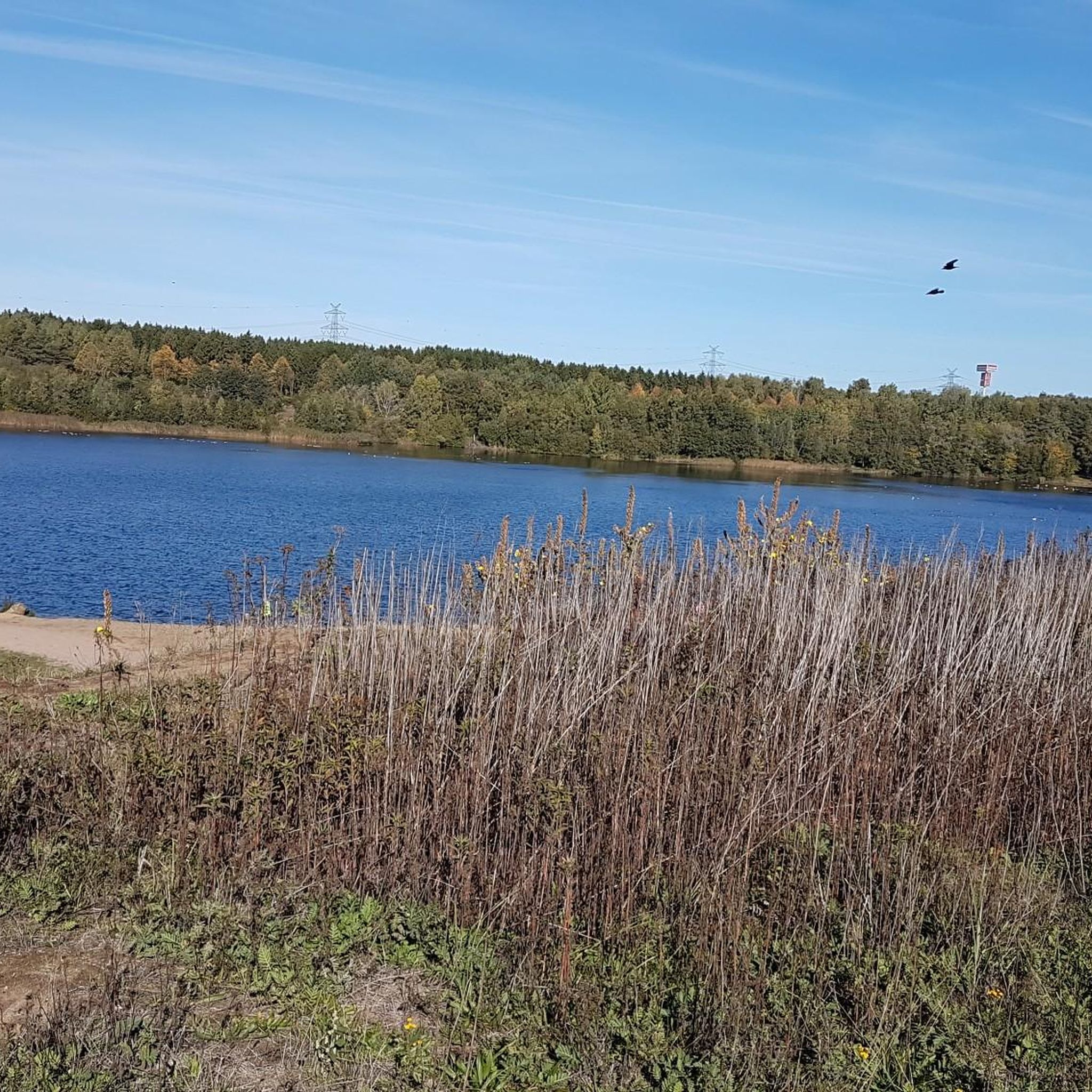
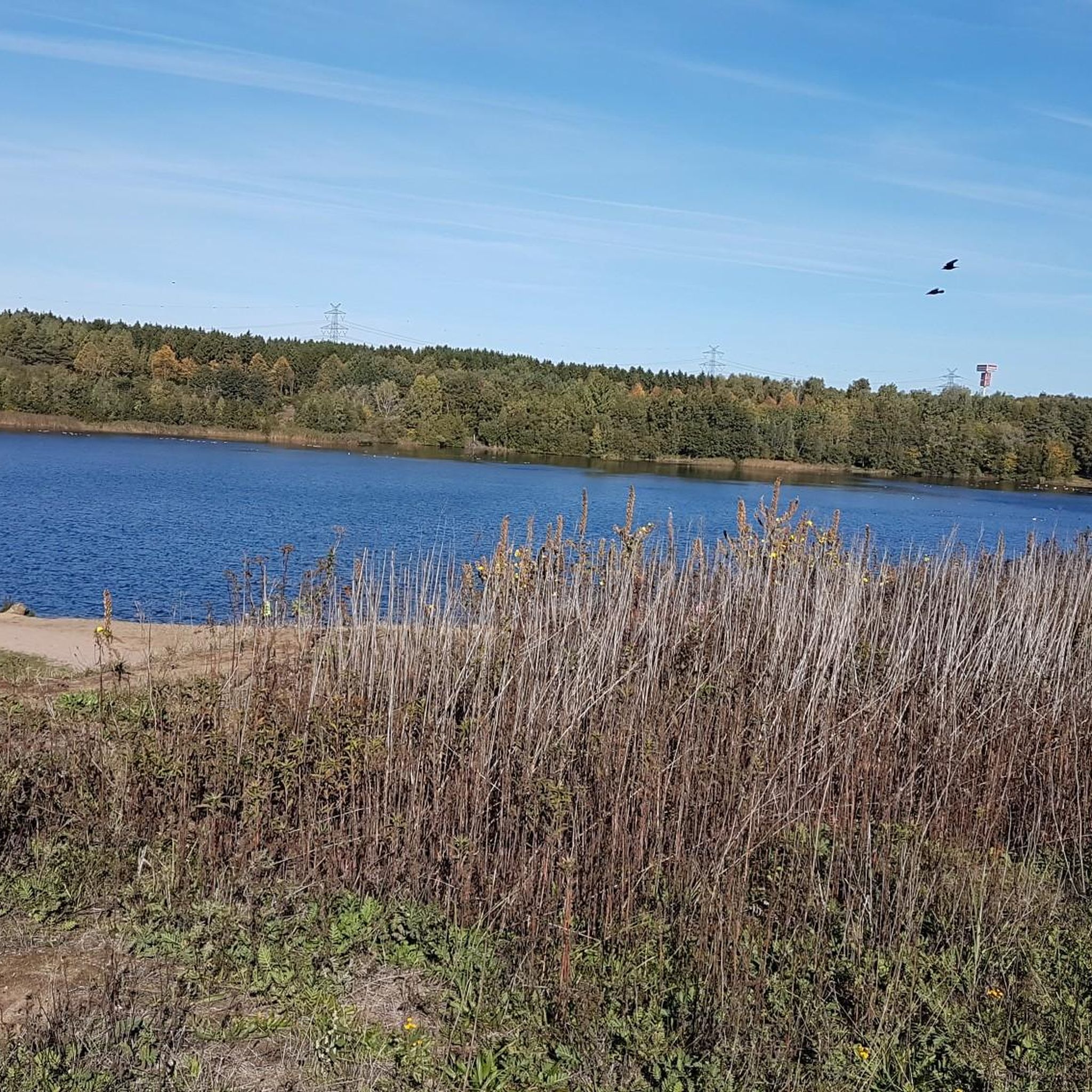
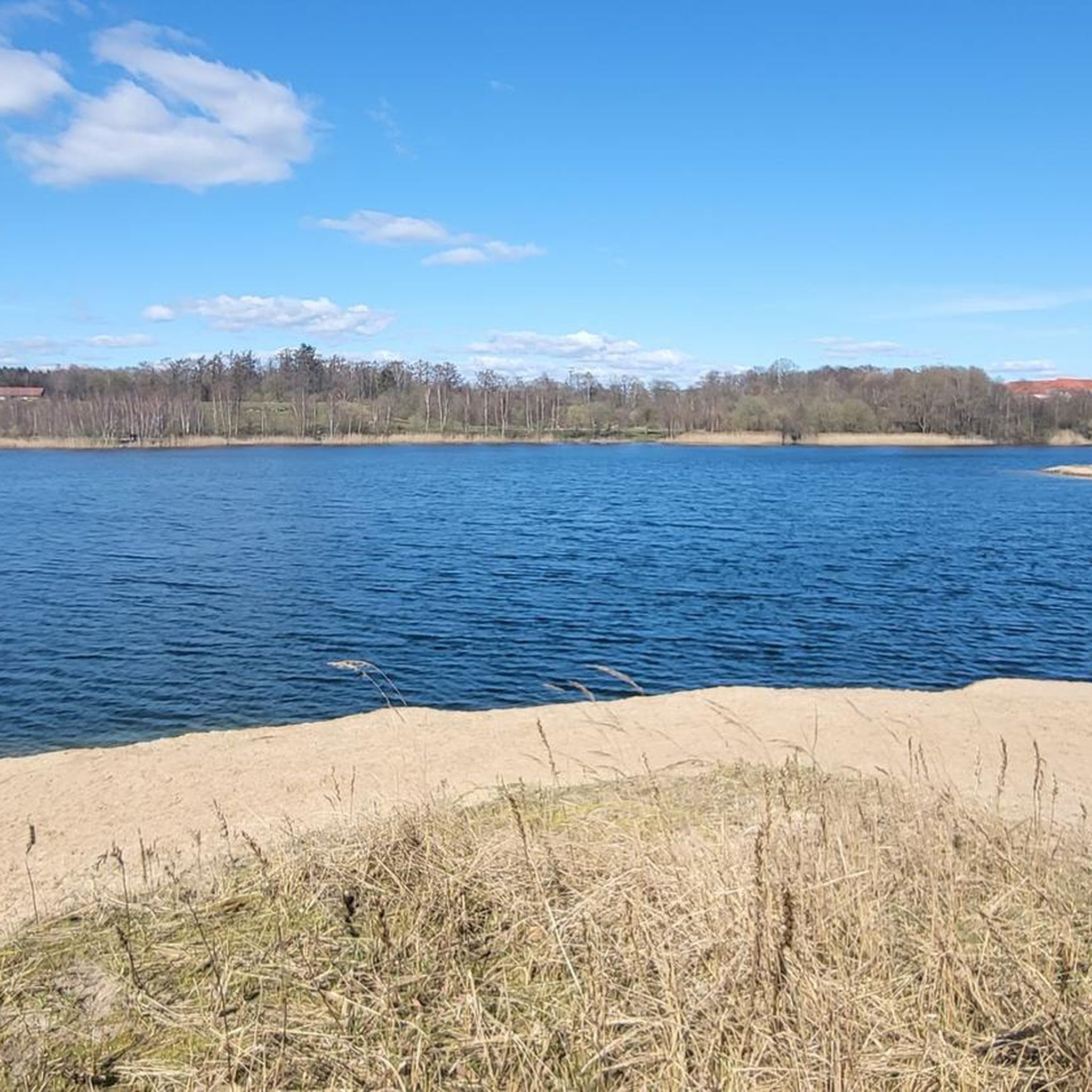
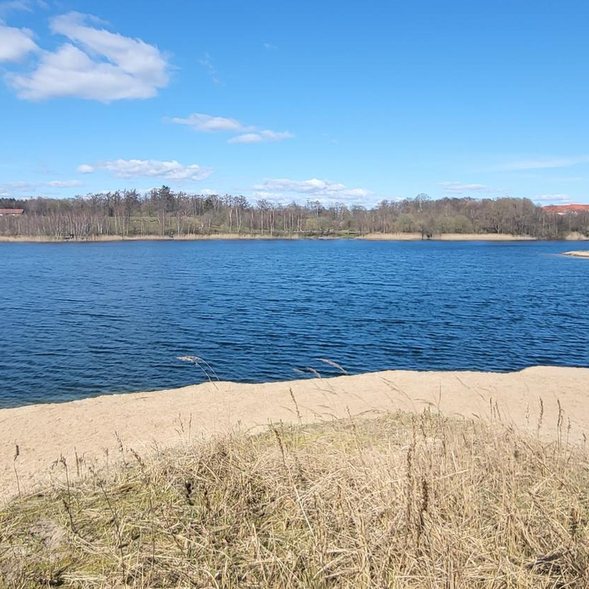
This quarry pond is a delight for walkers. Playgrounds are also sufficiently available, so that the little ones get their rights. Unfortunately, our furry friends have to be leashed, but there is a spacious exercise area for that. All in all a round thing.
0
0
Frequently Asked Questions
How many hiking trails are available around Kaltenkirchen?
Kaltenkirchen offers a wide selection of routes, with over 150 hiking trails to explore. The majority of these, around 114, are considered easy, making the area accessible for various fitness levels.
What kind of landscapes can I expect to see while hiking in Kaltenkirchen?
The region around Kaltenkirchen is characterized by a diverse mix of natural landscapes. You'll find extensive heathland areas like the Kaltenkirchener Heide, unique raised bogs such as the Himmelmoor Nature Reserve, and paths winding through forests, meadows, and along idyllic bodies of water.
Are there easy hiking options suitable for beginners or casual walkers?
Yes, Kaltenkirchen is very beginner-friendly. Over 114 of the available routes are classified as easy. An example is the Former Kaltenkirchen Airfield loop from Moorkaten, which is a shorter, gentle walk.
Can I hike with my dog in Kaltenkirchen?
Many trails in Kaltenkirchen are suitable for hiking with dogs. Areas like the Kaltenkirchener Heide and the general countryside offer plenty of space. When visiting nature reserves like Himmelmoor, it's always best to keep dogs on a leash to protect the local wildlife and unique ecosystem.
Are there family-friendly hiking trails in the area?
Absolutely. The region provides numerous accessible trails perfect for families. The Kaltenkirchener Heide, for instance, offers easy walks through natural surroundings. The Himmelmoor Nature Reserve also features a nearly four-kilometer-long nature trail with a boardwalk, which can be an engaging experience for children.
What are some notable natural attractions or landmarks to explore while hiking?
Beyond the trails themselves, you can discover several points of interest. The Himmelmoor Nature Reserve is a significant natural highlight, and the Boardwalk Through Himmelmoor offers unique views. Other attractions include the Alster Spring and the Lily Pond in the Henstedter Moor.
Are there any circular hiking routes around Kaltenkirchen?
Yes, many of the hiking routes in Kaltenkirchen are designed as loops, allowing you to start and end at the same point. An example is the Gentle current – Forest Path Through the Moor loop from Kaltenkirchen, which offers a pleasant round trip.
How can I get to the hiking trailheads using public transport?
Kaltenkirchen has public transport connections that can help you reach various starting points. For specific routes, it's advisable to check local bus schedules or regional train lines that connect to areas like the Kaltenkirchener Heide or the vicinity of Himmelmoor. Information boards at key locations often provide details on local access.
Where can I park my car when visiting hiking areas like Himmelmoor or Kaltenkirchener Heide?
Designated parking areas are typically available near popular hiking spots. For the Kaltenkirchener Heide, you can often find parking near entrances like the Kaltenkirchener Heide East Entrance. For the Himmelmoor Nature Reserve, there are usually parking options close to the main access points, often indicated by signage.
What is the best time of year to go hiking in Kaltenkirchen?
Hiking in Kaltenkirchen is enjoyable throughout much of the year. Spring brings blooming flora, while summer offers pleasant temperatures for longer walks. Autumn showcases beautiful foliage, especially in forested areas. Even in winter, the landscapes can be serene, though some paths might be muddy or require appropriate footwear.
What do other hikers say about the trails in Kaltenkirchen?
The hiking trails in Kaltenkirchen are highly regarded by the komoot community, with an average rating of 4.6 stars from over 300 reviews. Hikers often praise the varied terrain, from heathland to moor, and the well-maintained paths that make for enjoyable outdoor experiences.
Are there any longer, more challenging hikes available for experienced hikers?
While many routes are easy, Kaltenkirchen also offers longer options. For example, the Dirt Path Through Fields – Moorkaten War Graves Cemetery loop from Holstentherme is a moderate 9.7-mile (15.7 km) trail that takes about 4 hours to complete, providing a more extended experience through open fields.
Most popular routes around Kaltenkirchen
Most popular attractions around Kaltenkirchen

Get inspired with the komoot mobile app


Explore more
Browse the best Hikes in other regions.
