The best gravel rides around Bransdale
4.9
(9)
127
riders
15
rides
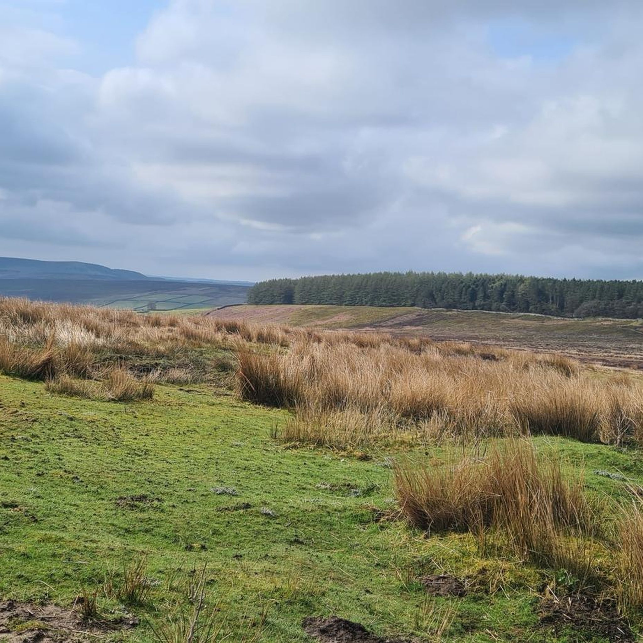
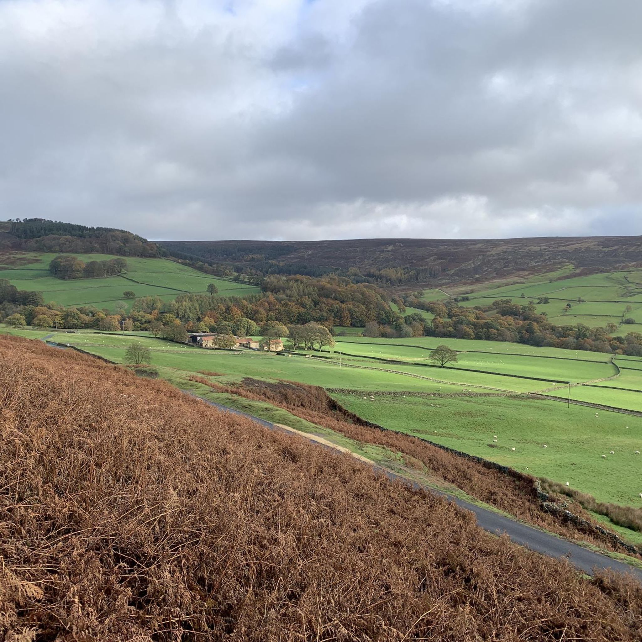
Gravel biking around Bransdale offers routes through isolated moorland landscapes and varied terrain within the North York Moors National Park. The region is characterized by high moors, steep valley sides, and rolling hills, with geological diversity influencing the riding surfaces. Riders encounter a mix of gravel roads, single tracks, and historic routes, providing diverse experiences. The valley is drained by Hodge Beck and features shallow V-shaped valleys incised into surrounding moorland and limestone hills.
Best gravel bike trails around Bransdale
…Last updated: July 17, 2026
23
riders
37.9km
02:20
450m
450m
Hard gravel ride. Very good fitness required. Mostly paved surfaces. Suitable for all skill levels.
5.0
(1)
14
riders
22.0km
01:27
280m
280m
Moderate gravel ride. Good fitness required. Mostly paved surfaces. Suitable for all skill levels.

Sign up for free
4.7
(3)
29
riders
37.4km
02:15
440m
440m
Moderate gravel ride. Good fitness required. Mostly paved surfaces. Suitable for all skill levels.
14
riders
32.1km
01:56
400m
400m
Moderate gravel ride. Good fitness required. Mostly paved surfaces. Suitable for all skill levels.
5.0
(1)
9
riders
45.7km
02:45
290m
290m
Moderate gravel ride. Good fitness required. Mostly paved surfaces. Suitable for all skill levels.
Get access to more routes and recommendations from other explorers.
Sign up for free
Already have an account?
Our route recommendations are based on thousands of hikes, rides, and runs completed by other people on komoot.
Start today with a free account
Your next adventure awaits.
Login or Signup
Tips from the Community

Tough ride up to here and could be dangerous to go down, but fantastic views!
0
0

Graze on the Green cafe, excellent food
0
0

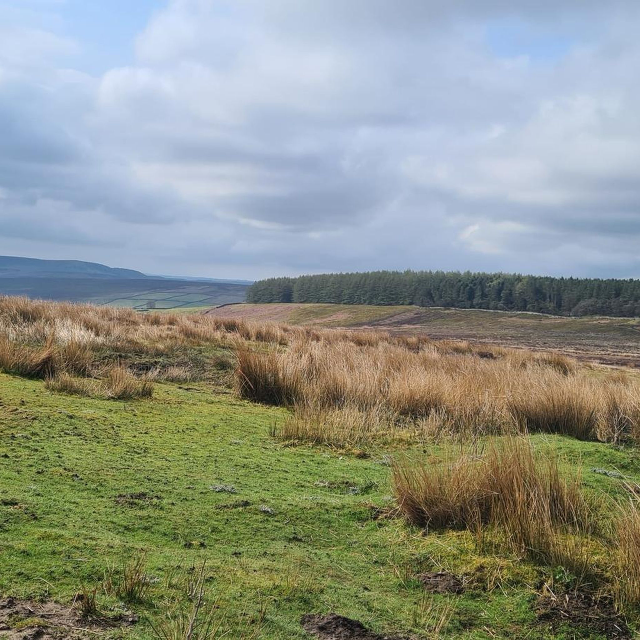
The scenery is nice in this area. You can see for miles in many parts. This is a slightly elevated area, the wind is far more stronger as it is an exposed area
0
0
Sheriffs Pit is the location of an old iron mine. The views here are mint, you can see for miles through the valleys at the side of the double track
0
0

See the Landofiron.org.uk website for more engaging details on the Sheriff's Pit and other surviving elements of the Rosedale Mines and Railway.
0
0
Major junction of Rudland Rigg running broadly north-south and the Lyke Wake Walk running broadly east-west. West takes you past Round Hill to Urra Moor and the car park at Clay Bank, east follows the disused Farndale Railway. Most of the tracks around this location are very wide and easy walking.
1
0

Highest point in the North York Moors with beautiful views in all directions. From here you can take several options to cycle down.
1
0

Bloworth Crossing used to be a railway crossing. The railway line (carrying iron ore) ran from Battersby to Rosedale for 11 miles. These days, it is a cycling and walking/hiking heaven. Easy, comfortable tracks to ride on with preposterously beautiful views in just about any direction your heart directs you to look at!
1
0
Frequently Asked Questions
How many gravel bike trails are available in Bransdale?
Bransdale offers 15 gravel biking routes, providing a range of options for exploring the region's unique landscapes. These include 10 moderate and 5 difficult trails.
What kind of terrain can I expect on Bransdale's gravel bike trails?
You can expect a diverse mix of terrain, from isolated moorland roads and 'champagne gravel' tracks to single tracks and historic routes. The landscape features steep valley sides, rolling hills, and woodlands, influenced by the area's geological diversity of limestone and sandstone.
Are there any family-friendly gravel biking routes in Bransdale?
While Bransdale's routes are generally rated moderate to difficult, the area's tranquil character and varied terrain can be enjoyable for families with experience in gravel biking. For a moderate option, consider the Blakey Bank Summit – Rosedale Chimney Bank Climb loop from Rosedale, which is 22.0 km long.
What are some notable landmarks or natural features to see while gravel biking in Bransdale?
Bransdale is rich in natural beauty and historical points of interest. You might encounter the historic Church of St. Nicholas in Cockayne, the Georgian Bransdale Lodge, or remarkable drystone walls. For specific viewpoints, high points like Blakey Bank Summit offer panoramic views. Other nearby attractions include Carlton Bank Summit Trig Point and The Wainstones.
Are there any circular gravel bike routes in Bransdale?
Yes, many of Bransdale's gravel bike routes are loops. For example, the challenging Hutton-le-Hole village – Blakey Bank Summit loop from Hutton-le-Hole covers 37.9 km across moorland, and the moderate Sheriff's Pit – Blakey Bank Summit loop from Hutton-le-Hole is 37.4 km through moorland and valleys.
What is the best time of year to go gravel biking in Bransdale?
Bransdale offers beautiful riding conditions throughout much of the year. Spring brings bluebells to Bransdale Hall woods, and the moorland tracks are generally suitable for gravel bikes. However, given the isolated moorland, it's always advisable to check weather conditions, especially in winter, as routes can be exposed.
Are there any historical sites or ruins accessible by gravel bike in the Bransdale area?
Yes, the region has a rich history. You can find ancient routes like Thurkilsti and medieval roads along Rudland Rigg. Nearby, you can visit historical sites such as Rievaulx Abbey or the Bank Top Iron Kilns, which are accessible via some of the longer routes like the Rievaulx Abbey – Helmsley Castle loop from Wombleton.
What do other gravel bikers say about the trails in Bransdale?
The gravel biking routes in Bransdale are highly regarded by the komoot community, with an average rating of 4.9 stars from 9 reviews. Riders often praise the isolated and tranquil setting, the varied terrain, and the rewarding experiences across the moorland and valleys.
Are there any particularly challenging gravel bike routes in Bransdale?
Yes, Bransdale offers several challenging routes. The Hutton-le-Hole village – Blakey Bank Summit loop from Hutton-le-Hole is classified as difficult, featuring significant elevation gain over its 37.9 km length. Another difficult option is the Rievaulx Abbey – Helmsley Castle loop from Wombleton.
Can I find routes that offer great views in Bransdale?
Absolutely. Bransdale is known for its stunning vistas. High points like Blakey Bank Summit, often included in routes such as the Blakey Bank Summit – Sheriff's Pit loop from The Lion Inn, provide beautiful panoramic views across the North York Moors and the valley itself.
Are there any specific natural monuments to look out for?
Beyond the general beauty of the moorland, you can find specific natural monuments. The Carlton Bank Summit Trig Point and The Wainstones are notable features. The highest point of Urra Moor, Round Hill Summit, is also within reach and offers impressive views.
Most popular attractions around Bransdale

Get inspired with the komoot mobile app


Explore more
Browse the best Gravel rides in other regions.
