The best gravel rides in Dreiländereck
4.6
(24)
99
riders
12
rides
Gravel bike trails in Dreiländereck traverse a unique border region where Austria, Italy, and Slovenia meet, offering diverse landscapes for cycling. The area features mountainous terrain with elevations up to 1,508 meters (4,948 feet), providing varied topography for climbs and descents. Riders encounter extensive trail networks that include forest roads, alpine meadows, and paths connecting different countries. The region's natural features include panoramic views of the Julian Alps and the Gailtal valley, alongside lush forests.
Best gravel bike trails in…
Last updated: October 6, 2026
5.0
(1)
1
riders
Moderate gravel ride. Good fitness required. Mostly paved surfaces. Suitable for all skill levels.
5.0
(2)
7
riders
42.3km
02:31
510m
510m
Hard gravel ride. Very good fitness required. Mostly paved surfaces. Suitable for all skill levels.

5.0
(4)
5
riders
20.7km
01:13
230m
230m
Moderate gravel ride. Good fitness required. Mostly paved surfaces. Suitable for all skill levels.
3.0
(1)
2
riders
32.4km
02:04
500m
500m
Hard gravel ride. Very good fitness required. Mostly paved surfaces. Suitable for all skill levels.
5.0
(1)
2
riders
Hard gravel ride. Very good fitness required. You may need to push your bike for some segments of this route.
Get access to more routes and recommendations from other explorers.
Already have an account?
Our route recommendations are based on thousands of hikes, rides, and runs completed by other people on komoot.
Start today with a free account
Your next adventure awaits.
Tips from the Community

Following the principle of the English Garden, the park, only about 130 meters wide, was laid out around 1848, stretching up the slope along the Bärenlohbach stream. After the construction of the Royal Spa House in 1890, the park was extended to its current length of around 800 meters. The stream's course and the ponds created along it shape the park landscape.
3
0

There is a button in the driver's cab at the locomotive, just press it ;-)
1
0
Right by the rock there is a small playground. Definitely press the button on the locomotive!
0
0

Beautifully decorated fountain and church for Easter
0
0
The spring is dried up, no water flows here anymore.
10
0

Beautiful, well-maintained old buildings surround the square. Add to that the lovely parks. A real holiday feeling.
0
0
One of the parks that wind through the town. Often you just have to cross the street briefly and you are in the next park.
0
0

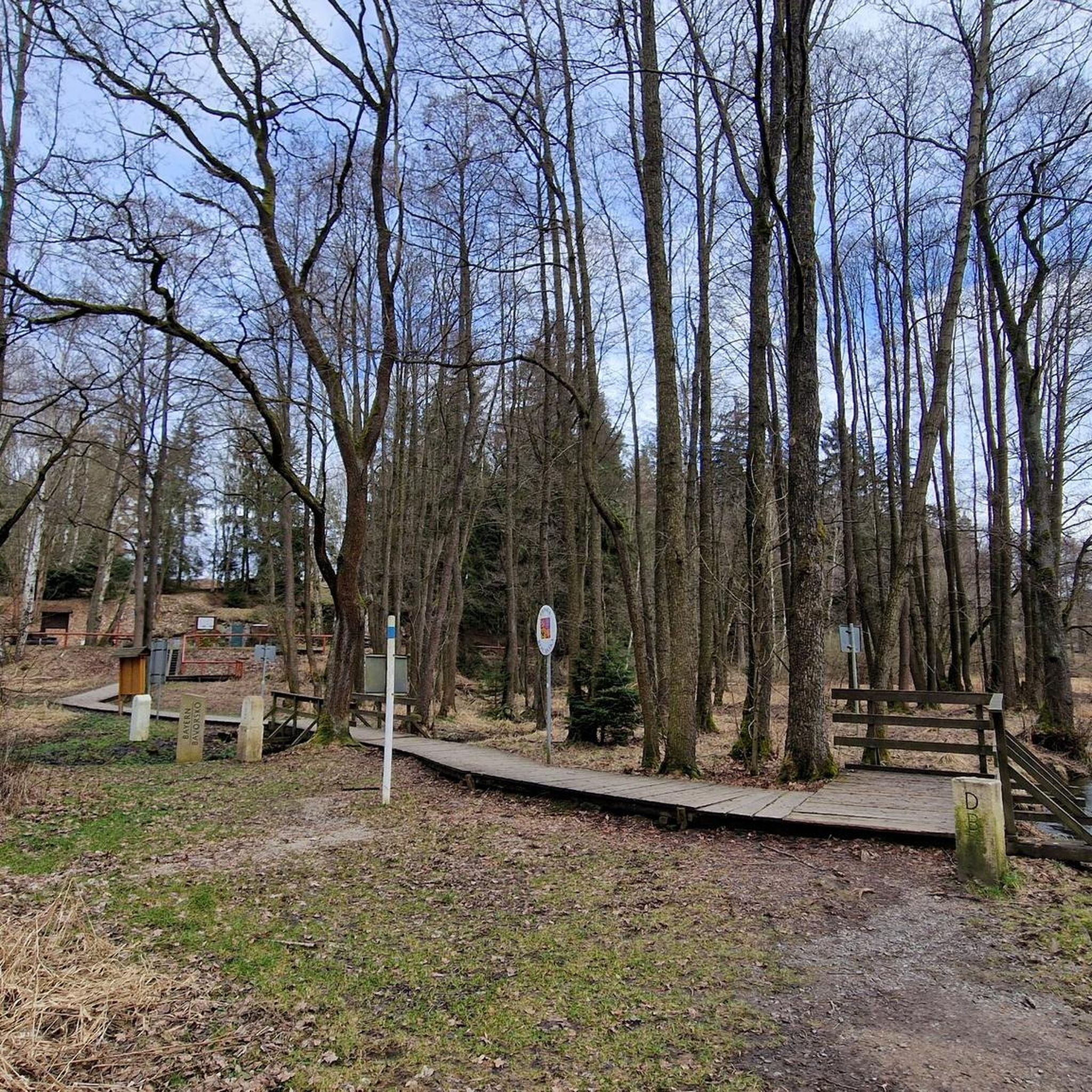
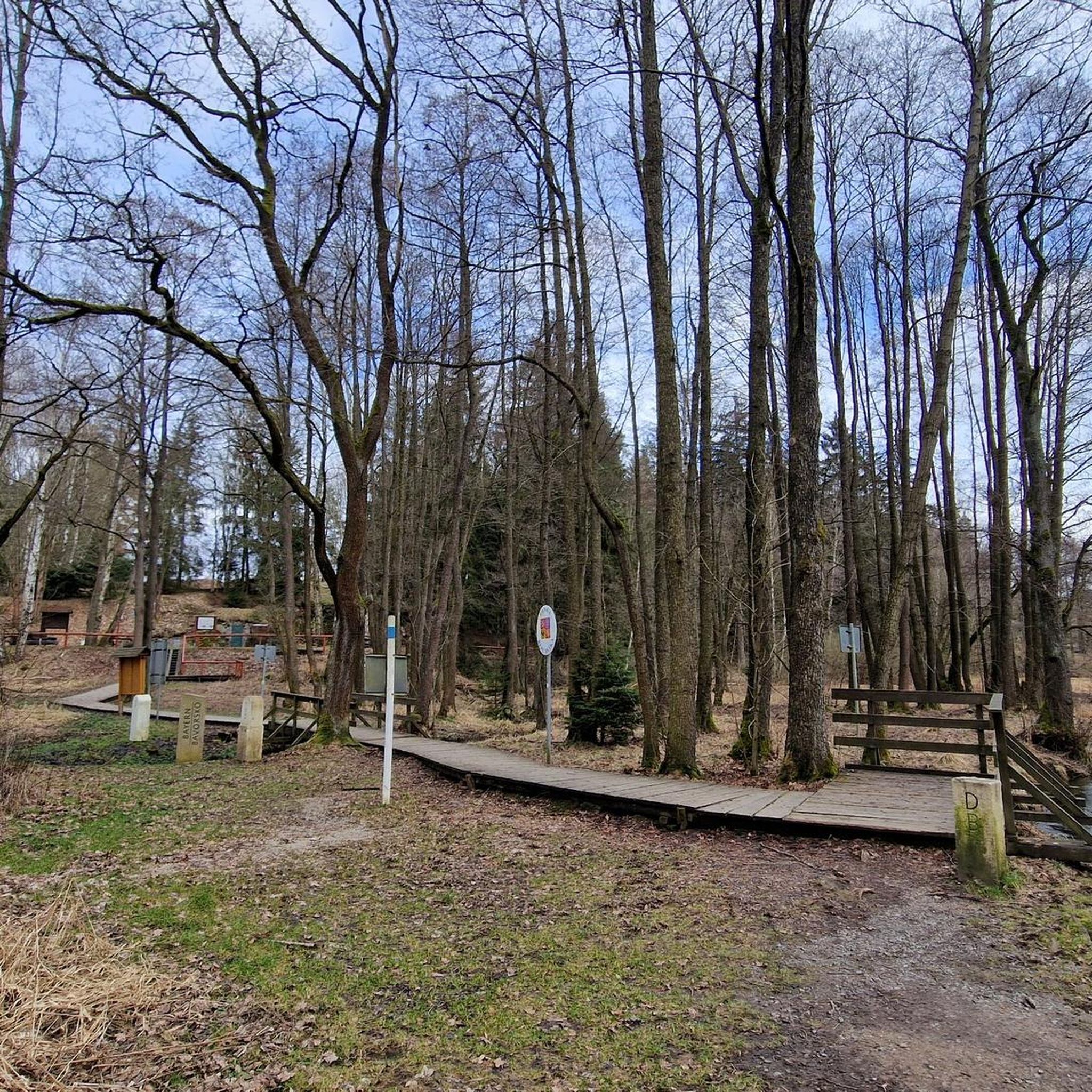
The spring is located between the tripoint and the penitential cross, somewhat misplaced here.
3
0
Frequently Asked Questions
How many gravel bike trails are available in Dreiländereck?
There are over 20 gravel bike trails in the Dreiländereck region, offering a variety of experiences for riders. These routes are highly rated by the komoot community, with an average score of 5.0 stars.
What are the general difficulty levels of gravel biking in Dreiländereck?
The gravel biking routes in Dreiländereck are primarily suited for riders with some experience. You'll find 9 moderate routes and 11 difficult routes, making it an ideal destination for those seeking a challenge.
What kind of terrain can I expect on gravel bike trails in Dreiländereck?
Gravel bike trails in Dreiländereck feature diverse terrain, including mountainous sections with significant elevation changes, forest roads, and paths through alpine meadows. Many routes also offer the unique experience of traversing national borders between Austria, Italy, and Slovenia.
Are there challenging gravel bike routes for experienced riders in Dreiländereck?
Yes, experienced gravel bikers will find plenty of challenging options. For instance, the Musikantenradweg (Musicians' Cycle Route) - southern loop from Bad Elster is a difficult 38.4-mile (61.8 km) path with substantial elevation gain, typically taking over 5 hours to complete. Another demanding option is the Eger River in Wellertal – Old Avenue Asch–Neuhausen loop from Bad Elster, a 46.9-mile (75.5 km) trail.
What natural features or landmarks can I see along the gravel bike trails in Dreiländereck?
The Dreiländereck region offers breathtaking 360° panoramic views of the Julian Alps, the Gailtal valley, and the Dobratsch nature park. You can also encounter unique border monuments like the Tripoint Bavaria–Saxony–Czech Republic and the Dreiländereck on the German Green Belt. The area is also characterized by lush alpine meadows and extensive forests.
Are there any circular gravel bike routes in Dreiländereck?
Yes, many of the gravel bike trails in Dreiländereck are designed as loops. Examples include the Bridge and Ford Near Wurlitz – Perlen Cycle Path in Wurlitz loop from Südliche Regnitz und Zinnbach, a 21.9-mile (35.3 km) route, and the View of the Zeidelweide Valley – Drei-Bistums-Eck Monument loop from Bad Elster, which is a moderate 31.1-mile (31.1 km) trail.
What is the best time of year for gravel biking in Dreiländereck?
The warmer months are generally the best time for gravel biking in Dreiländereck. While the region is known for skiing in winter, the extensive trail network transforms into a biker's paradise during spring, summer, and autumn, offering pleasant conditions to explore the diverse landscapes.
Are there any facilities or amenities like cafes along the gravel bike trails?
While specific cafes directly on every trail aren't listed, the region is well-equipped for outdoor enthusiasts. You might find facilities like the Waldkühlschrank Dreiländereck, and the broader Villach region offers various amenities. Planning your route with komoot can help identify potential stops.
What do other gravel bikers enjoy most about gravel biking in Dreiländereck?
The area is highly rated by the komoot community, with an average score of 5.0 stars from 4 reviews. Riders often praise the unique experience of cycling through a tri-border region, the stunning panoramic views, and the varied, challenging terrain that makes for an engaging ride.
Are there options for parking or public transport access to the gravel bike trails?
The Dreiländereck region is generally accessible, and while specific parking details for each trailhead aren't provided, the area is well-known for its outdoor activities, suggesting parking facilities are available. For broader regional transport information, you might find resources on the VisitVillach website.
Can I find gravel bike trails that are suitable for families in Dreiländereck?
While the majority of listed gravel routes are moderate to difficult, the broader Dreiländereck area does have paths suitable for families. The region features lush alpine meadows and forests with pleasant, almost flat paths, which could be indicative of easier gravel sections. However, for dedicated family-friendly gravel routes, it's best to check individual route descriptions for specific difficulty ratings.
Most popular routes in Dreiländereck
Most popular attractions in Dreiländereck

Get inspired with the komoot mobile app


Explore more
Browse the best Gravel rides in other regions.
