The best gravel rides in Mittlere Oder
5.0
(24)
190
riders
23
rides
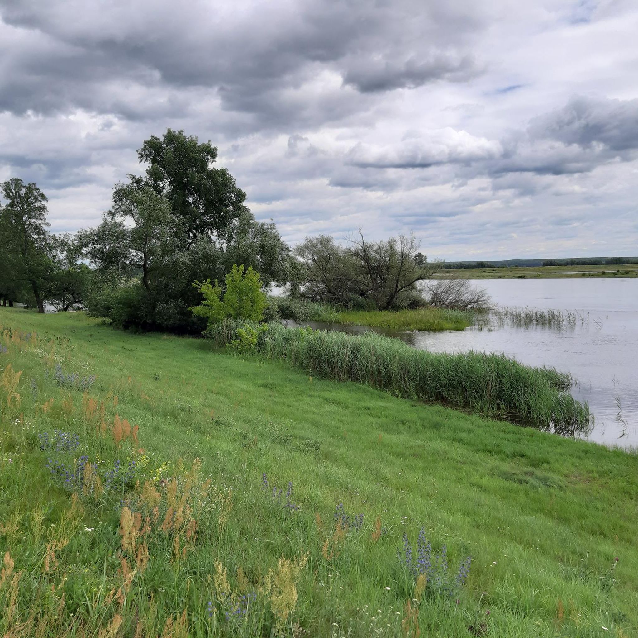
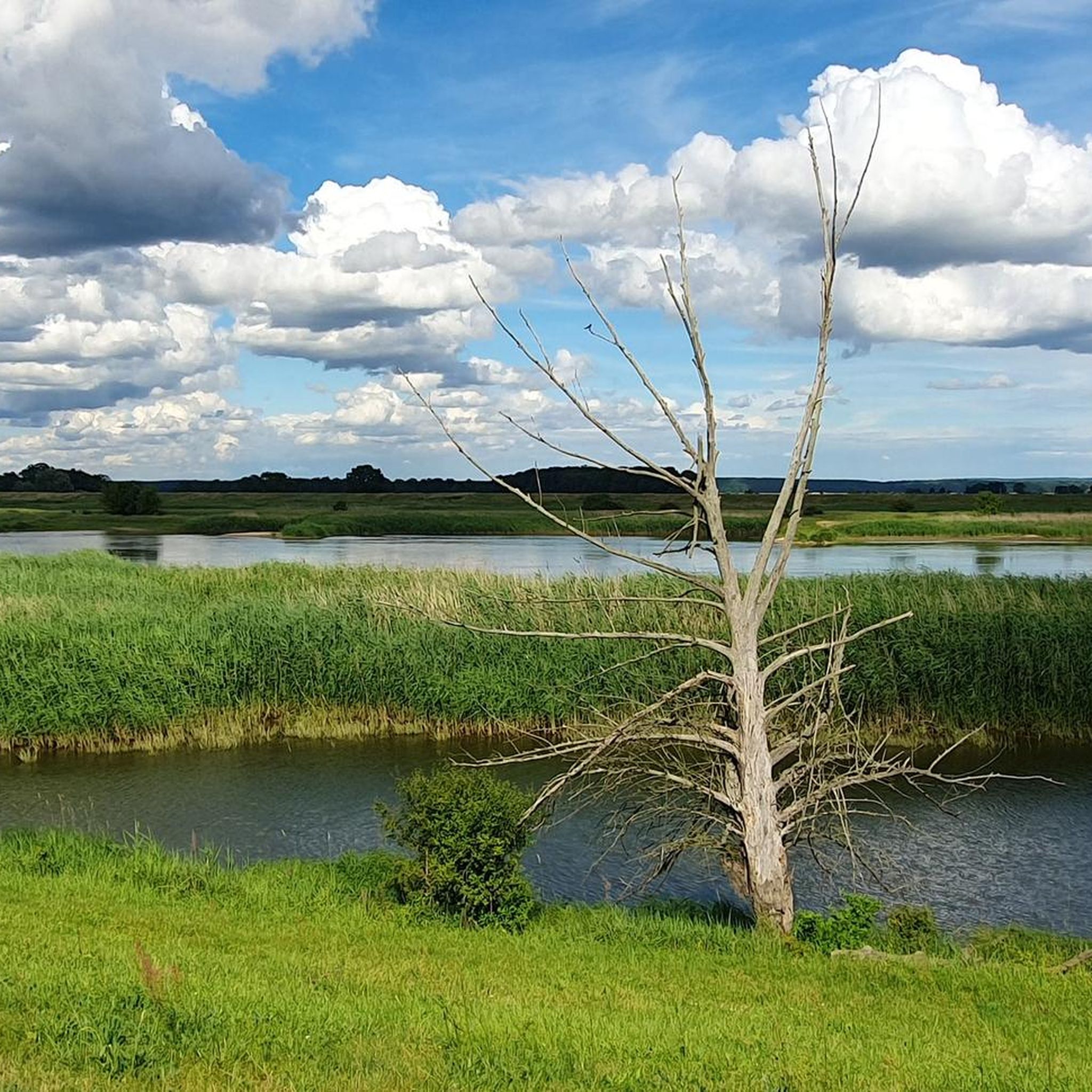
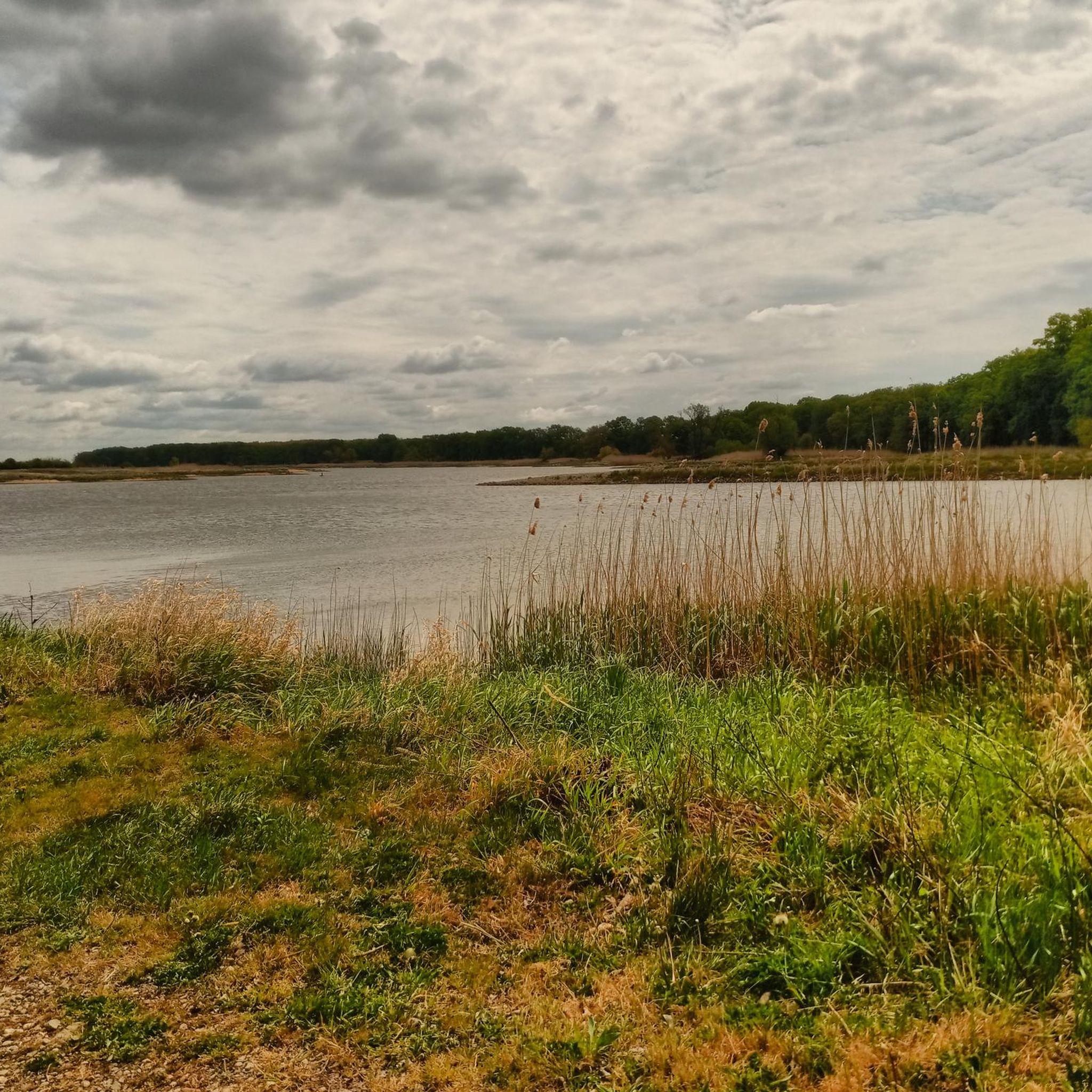
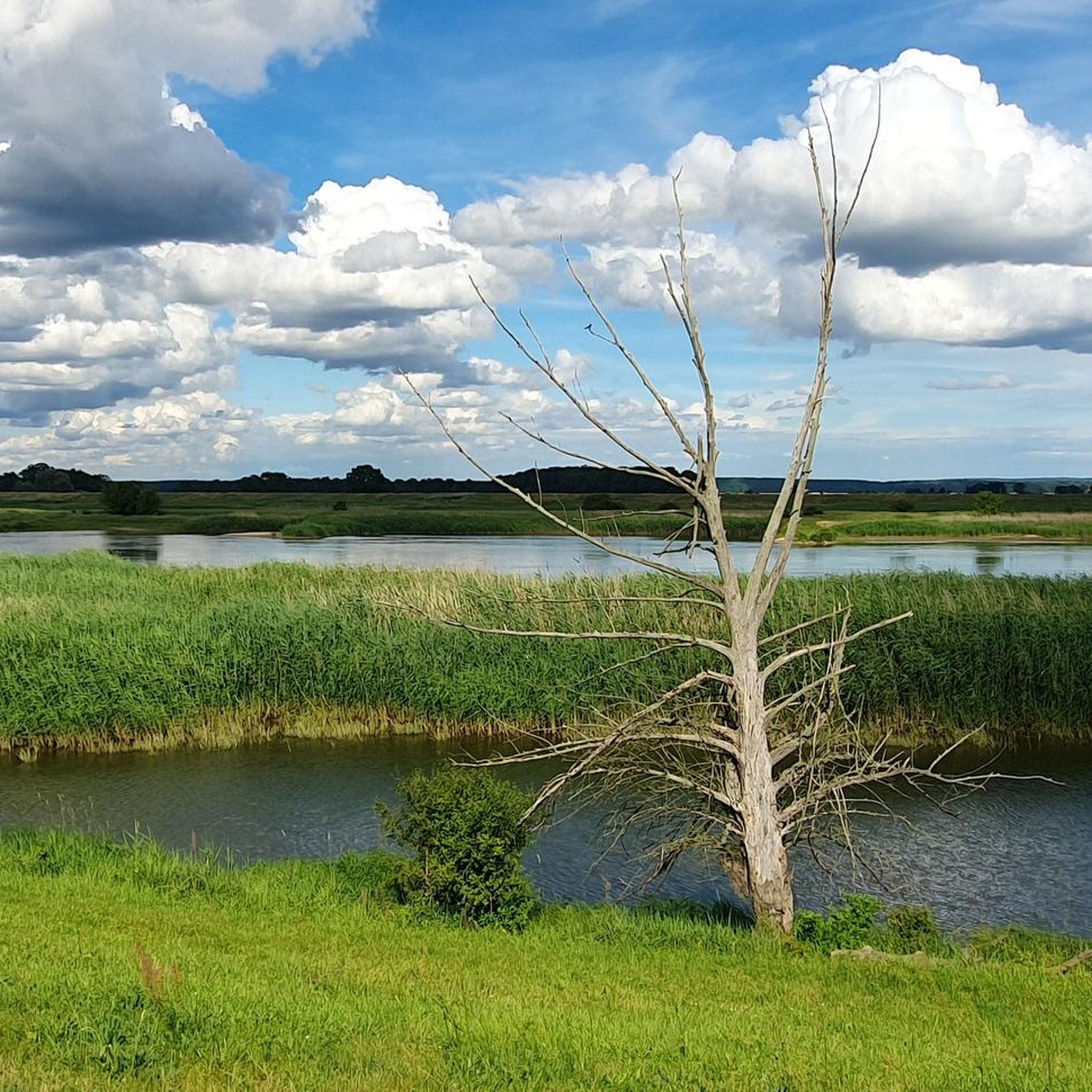
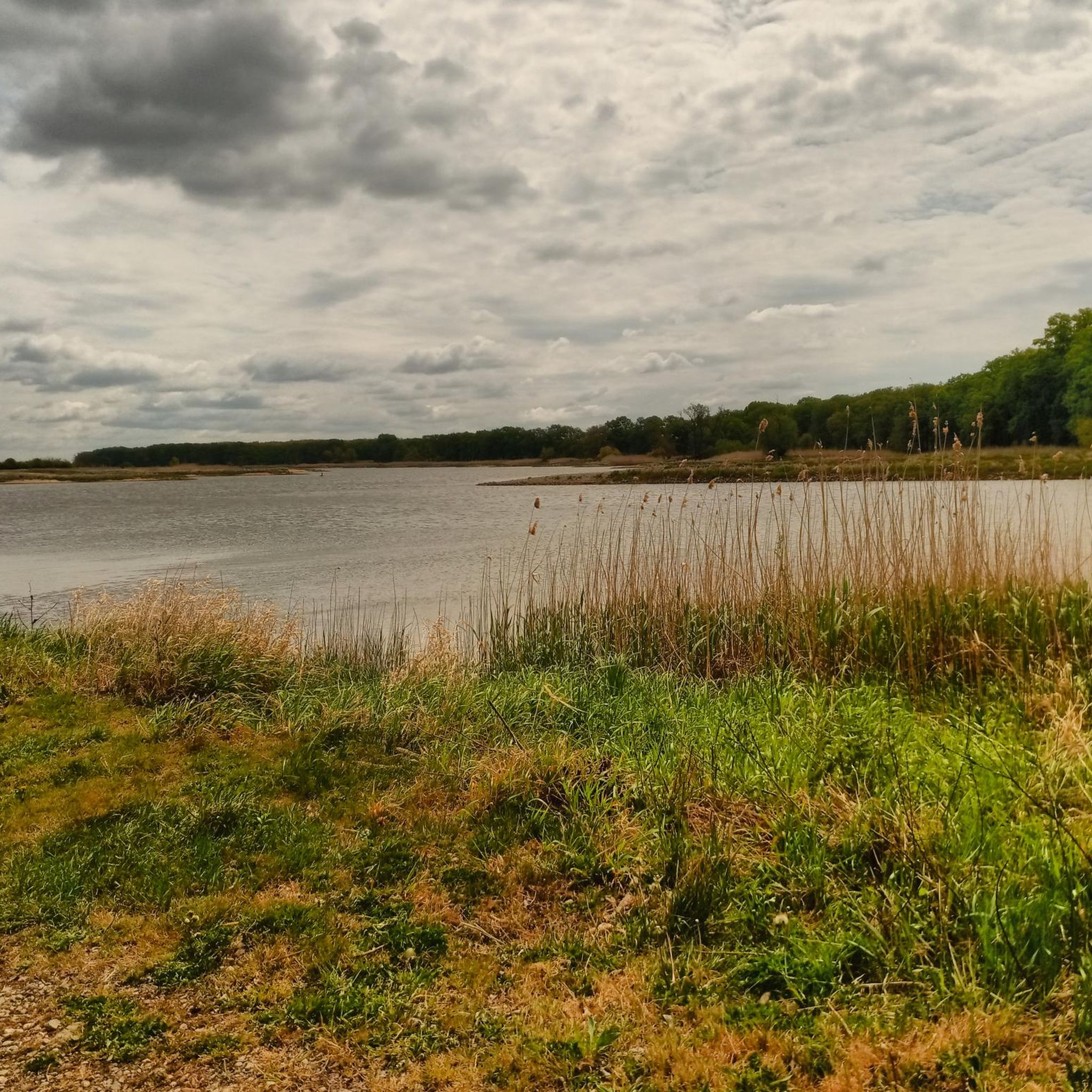
Gravel biking in Mittlere Oder offers a distinctive landscape characterized by its riverine environment and extensive floodplains. The region features a network of unpaved roads, forest tracks, and dirt paths, providing varied terrain for gravel bikes. The topography is generally flat to gently rolling, making routes accessible while still offering diverse surfaces. This area includes the Nationalpark Unteres Odertal and the cultural landscape of Oderbruch.
Best gravel bike trails in Mittlere Oder
- The most popular gravel bike trail is Quiet…
Last updated: July 3, 2026
5
riders
38.4km
02:29
150m
160m
Moderate gravel ride. Good fitness required. Mostly paved surfaces. Suitable for all skill levels.
4.8
(14)
84
riders
Moderate gravel ride. Good fitness required. Mostly paved surfaces. Suitable for all skill levels.

Sign up for free
5
riders
43.2km
02:30
160m
160m
Moderate gravel ride. Good fitness required. Mostly paved surfaces. Suitable for all skill levels.
5.0
(1)
13
riders
39.2km
02:01
50m
50m
Moderate gravel ride. Good fitness required. Mostly paved surfaces. Suitable for all skill levels.
5.0
(6)
38
riders
139km
07:29
410m
410m
Hard gravel ride. Very good fitness required. Mostly paved surfaces. Suitable for all skill levels.
Get access to more routes and recommendations from other explorers.
Sign up for free
Already have an account?
Our route recommendations are based on thousands of hikes, rides, and runs completed by other people on komoot.
Start today with a free account
Your next adventure awaits.
Login or Signup
Tips from the Community

Spectacular view of the drift ice of the Oder (15.02.2026) (provided there is another longer period of frost with pronounced ice drift!)!
0
0

Wide cycle path with very smooth surface.
0
0

Old historic building, worth seeing.
1
0

What a wonderful spot, right on the lake, quiet, with excellent cuisine. Restaurant opening hours: Monday: 12:00 PM – 9:00 PM Tuesday – Sunday: 11:00 AM – 10:00 PM The kitchen specializes in fish and game dishes.
2
0
Construction of the town hall in Frankfurt (Oder) began in 1253. It was built in the North German Brick Gothic style. Initially, the building served primarily as a two-story merchant hall with a council chamber and courtroom. The magnificent south gable was added in the second half of the 14th century. The gilded, floating herring on a fishing rod on the gable dates from 1454. It symbolizes the importance of the city of Frankfurt in the medieval herring trade. It's still a beautiful building to me.
3
0

The SOSiR Stadium (Słubickiego Ośrodka Sportu i Rekreacji Sp. z o.o.) (originally Stadion an der Kleisthöhe, later Ostmarkstadion) is a sports stadium in Słubice, Poland. The Stadion an der Kleisthöhe was built in 1914 as a sports stadium for the city of Frankfurt (Oder) on the site of the then Dammvorstadt (now Słubice). Frankfurt's oldest gymnastics ground had been located there since the end of the 19th century. Initially, Russian prisoners of war from the Gronenfelde prisoner of war camp, seven kilometers away, were brought to work on foot. From July 14–22, 1924, the Ostmarkschau für Gewerbe und Landwirtschaft (OGELA) (Eastern Mark Exhibition for Trade and Agriculture) took place, attracting approximately 100,000 visitors. In 1927, the stadium was completed, and the tram line from Frankfurt was extended to the stadium. It served more than just sports. From June 18 to 19, 1932, the 30th Catholic Congress took place in the Diocese of Berlin. In 1932, Adolf Hitler spoke at a Nazi Party event there from a small mobile platform.[2] In July 1933, a meeting of the local SA took place. The stadium was added to the list of historical monuments of the Lubusz Voivodeship in 2014. (Source: Wikipedia)
1
0

If you want to have yours just drive here
1
0
The town hall is worth seeing and also has surprises inside (including architecture, sculptures, mayors' gallery of the last 200 years, ceiling paintings on the city's history)
1
0
Frequently Asked Questions
What kind of terrain can I expect on gravel bike trails in Mittlere Oder?
The Mittlere Oder region offers a diverse mix of unpaved roads, forest tracks, and dirt paths. You'll encounter generally flat to gently rolling topography, with some areas presenting more challenging unpaved segments. The unique riverine environment, extensive floodplains, and cultural landscapes like the Oderbruch provide varied surfaces perfect for gravel biking.
Are there any easy gravel bike trails suitable for beginners in Mittlere Oder?
Yes, the region offers several easier routes. For instance, the Quiet country road – Oder Bridge loop from Rybocice is a moderate trail that utilizes quiet country roads. Overall, there are 4 easy routes available, and many of the 19 moderate routes are also accessible for those new to gravel biking.
What natural features can I see while gravel biking in Mittlere Oder?
You can explore the unique polder landscape of the Nationalpark Unteres Odertal, Germany's only floodplain national park, with paths along dikes offering elevated views of wetlands. The historic Oderbruch cultural landscape provides scenic routes, and the Schlaubetal Nature Park features picturesque river valleys and extensive forests. These areas are rich in flora and fauna, making them ideal for nature observation.
Are there any interesting landmarks or attractions along the gravel bike routes?
Yes, several routes pass by points of interest. You might encounter historical sites like the Ruins of the Vogelsang Power Plant or the Hammerfort Lock Ruins on the Friedrich Wilhelm Canal – Hammerfort Lock Ruins loop from Brieskow-Finkenheerd. The region also features cultural highlights such as the Oder-Neisse Cycle Route – View of Neuzelle Abbey loop from Eisenhüttenstadt, offering views of Neuzelle Abbey.
What is the best time of year to go gravel biking in Mittlere Oder?
The region is generally accessible for gravel biking for much of the year. However, it's important to note that the Nationalpark Unteres Odertal's polder landscape is intentionally flooded in winter, which may affect some routes. Spring to autumn typically offers the most favorable conditions for exploring the diverse terrain.
Are there any circular gravel bike routes in the Mittlere Oder region?
Yes, many of the gravel bike trails in Mittlere Oder are designed as loops, allowing you to start and end at the same point. Examples include the Oder Bridge – Słubice loop from Świecko and the Kaisermühle on the Schlaube – Friedrich Wilhelm Canal loop from Wiesenau, providing convenient options for day trips.
How can I access the gravel bike trails using public transport?
Towns along the Oder, such as Schwedt, serve as good starting points for exploring the region and offer connections to public transport. From these towns, you can often reach various trailheads or connect to the extensive cycling network, including sections of the Oder-Neiße Cycle Path.
Are there places to eat or drink along the gravel bike routes?
While the region is known for its serene, sparsely populated areas, you can find options for refreshments. Some routes may pass by small cafes or inns. For example, the Bauernstüble is a cafe, and the Cyclists' Inn Aurith offers facilities for riders. It's always a good idea to check opening times and plan your stops in advance.
What do other gravel bikers enjoy most about the Mittlere Oder region?
The Mittlere Oder region is highly rated by the komoot community, with an average score of 4.7 stars from over 20 reviews. Riders often praise the unique riverine landscapes, the extensive network of diverse cycling routes, and the blend of natural beauty with cultural heritage that provides a rich and engaging experience.
Are there any specific regulations or permits needed for gravel biking in the Nationalpark Unteres Odertal?
The Nationalpark Unteres Odertal has approximately 160 kilometers of cycle paths, about half of which run along the dikes. While general cycling is permitted on designated paths, it's always advisable to respect national park rules, stay on marked trails, and be mindful of wildlife. For detailed information on specific regulations, you can consult the official National Park website: nationalpark-unteres-odertal.eu/biking/.
How many gravel bike trails are available in Mittlere Oder?
There are 29 gravel bike trails documented in the Mittlere Oder region, offering a wide range of options for different skill levels and preferences. This includes 4 easy, 19 moderate, and 6 difficult routes.
Most popular routes in Mittlere Oder
Most popular attractions in Mittlere Oder

Get inspired with the komoot mobile app


Explore more
Browse the best Gravel rides in other regions.
