Sinnquellgebiet Und Arnsbergsüdhang
Sinnquellgebiet Und Arnsbergsüdhang
The best gravel rides in Sinnquellgebiet Und Arnsbergsüdhang
4.7
(19)
80
riders
10
rides
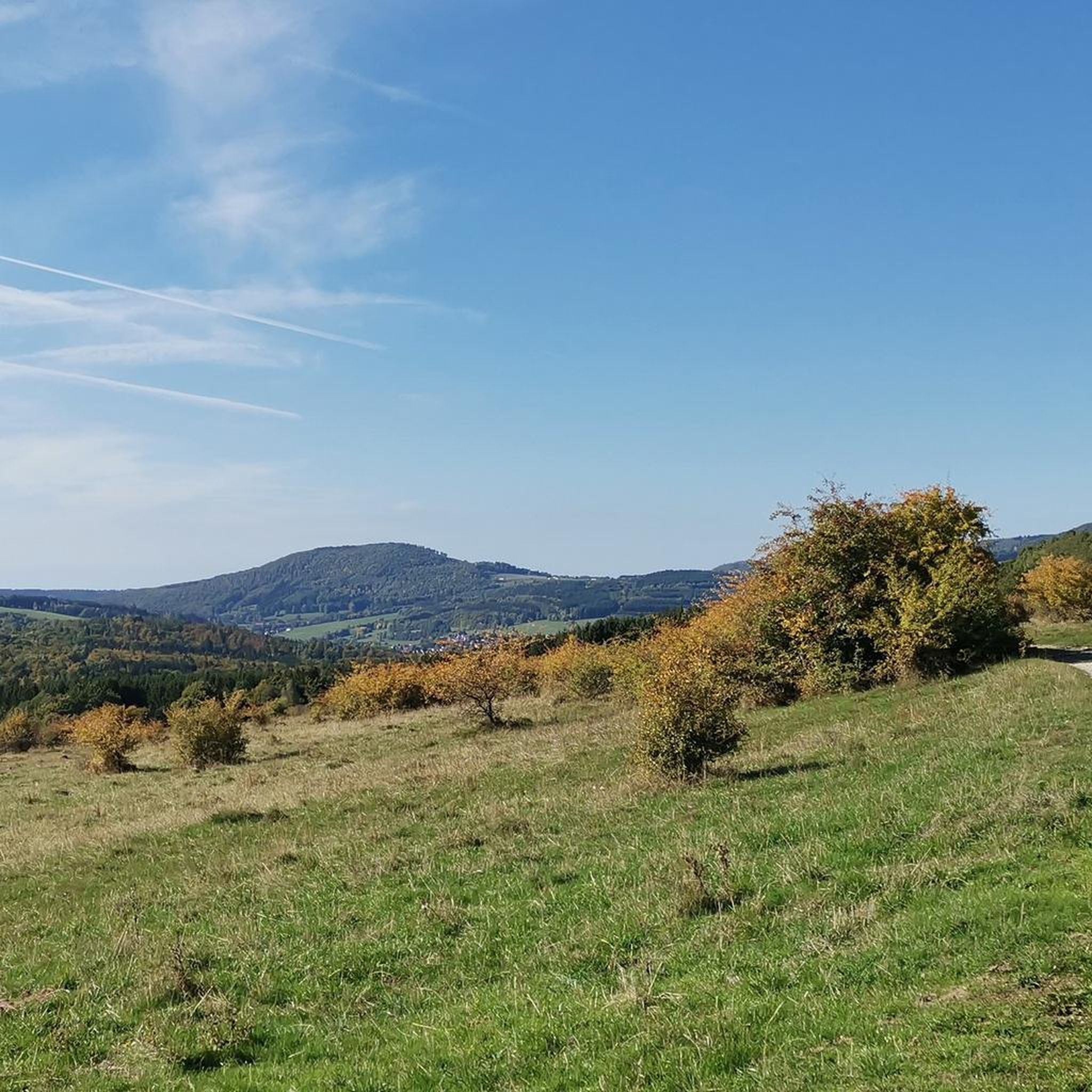
Gravel biking in Sinnquellgebiet Und Arnsbergsüdhang offers routes through varied terrain, characterized by moorland, river valleys, and lakes. The region's landscape includes the Sinnquellgebiet, indicating a source area, and the Arnsbergsüdhang, suggesting southern slopes and hills. These features provide a mix of gradients and surfaces suitable for gravel cycling, from extensive gravel tracks to unpaved roads and forest paths. The area is part of a low mountain landscape, offering diverse natural features and elevation changes.
Best gravel bike trails in…
Last updated: October 6, 2026
5.0
(2)
10
riders
Hard gravel ride. Very good fitness required. Mostly paved surfaces. Suitable for all skill levels.
5.0
(1)
3
riders
Hard gravel ride. Very good fitness required. Mostly paved surfaces. Suitable for all skill levels.

5.0
(1)
9
riders
69.8km
04:06
880m
880m
Hard gravel ride. Very good fitness required. Mostly paved surfaces. Suitable for all skill levels.
4.5
(4)
9
riders
26.1km
01:33
280m
280m
Moderate gravel ride. Good fitness required. Mostly paved surfaces. Suitable for all skill levels.
4.3
(3)
10
riders
50.6km
03:17
980m
980m
Hard gravel ride. Very good fitness required. Mostly paved surfaces. Suitable for all skill levels.
Get access to more routes and recommendations from other explorers.
Already have an account?
Our route recommendations are based on thousands of hikes, rides, and runs completed by other people on komoot.
Start today with a free account
Your next adventure awaits.
Popular around Sinnquellgebiet Und Arnsbergsüdhang
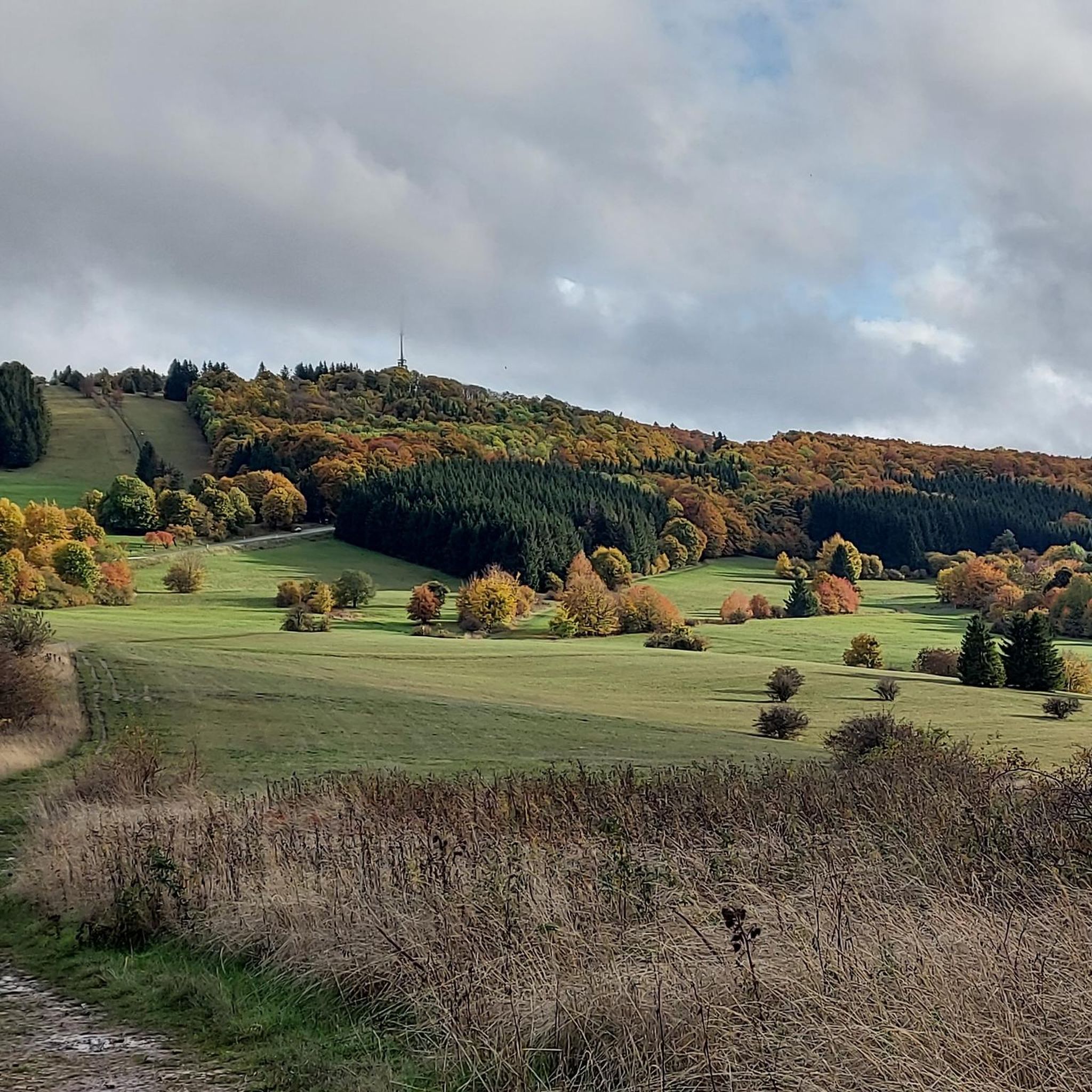
Hiking in Sinnquellgebiet Und Arnsbergsüdhang
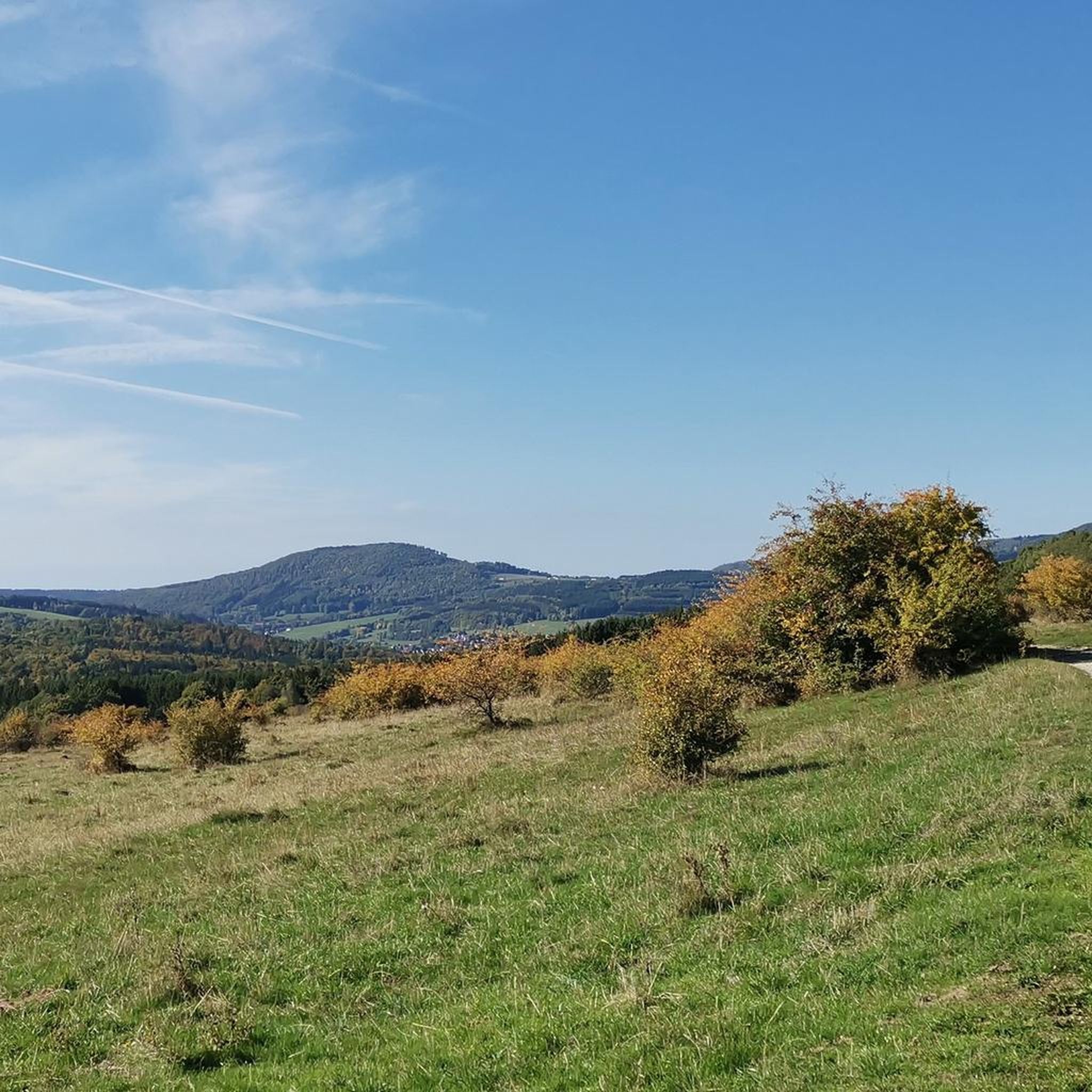
Cycling in Sinnquellgebiet Und Arnsbergsüdhang
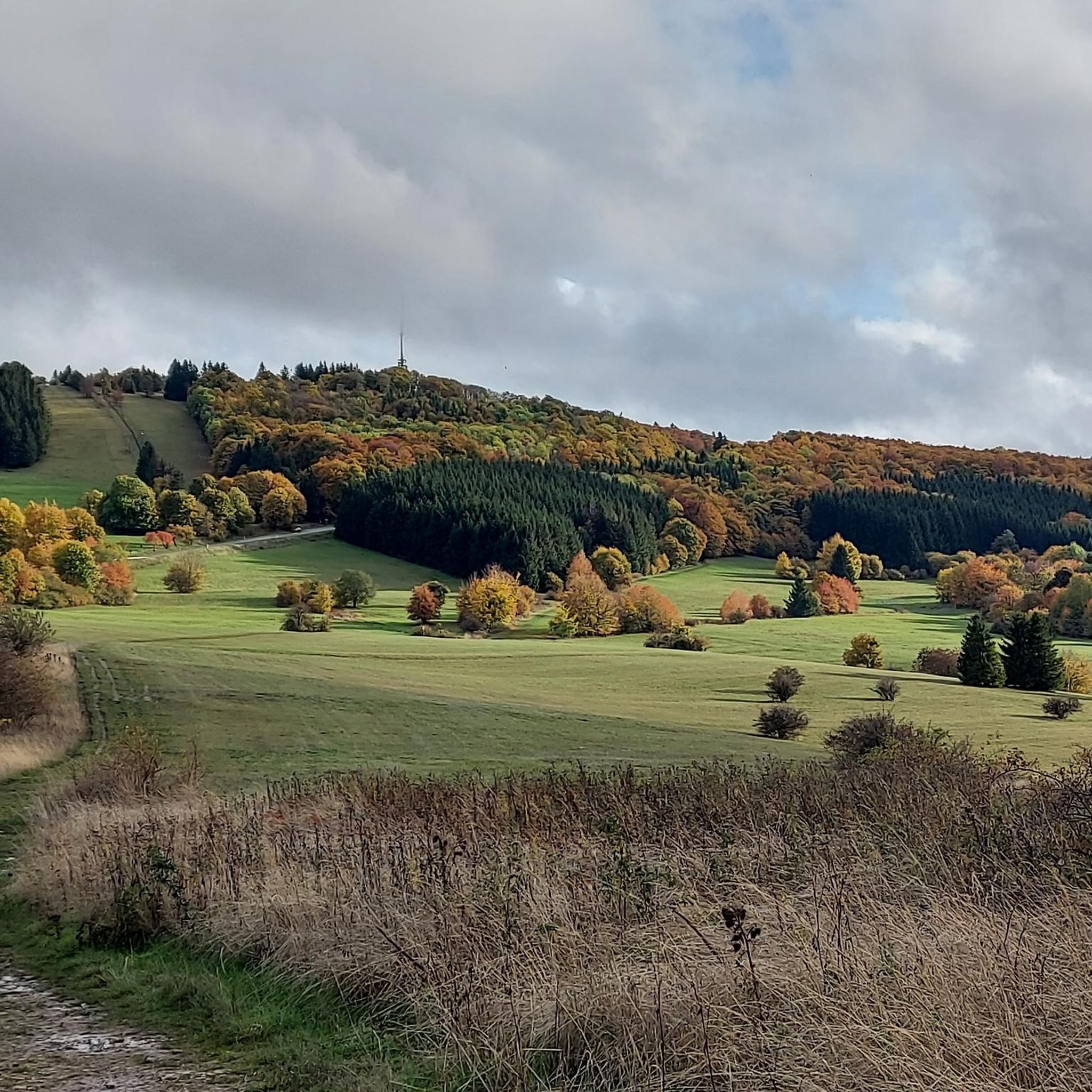
MTB Trails in Sinnquellgebiet Und Arnsbergsüdhang
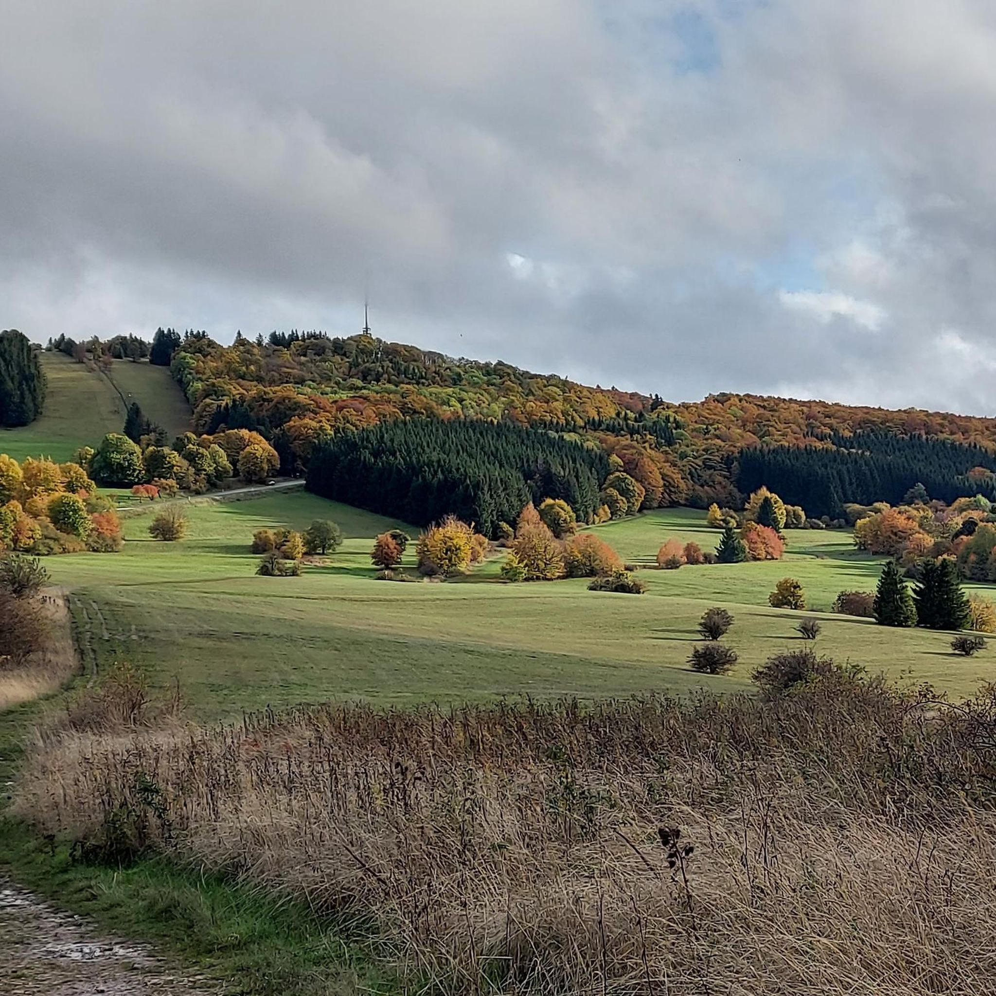
Road Cycling Routes in Sinnquellgebiet Und Arnsbergsüdhang
Running Trails in Sinnquellgebiet Und Arnsbergsüdhang

Mountain Hikes in Sinnquellgebiet Und Arnsbergsüdhang
Tips from the Community

Great, you can observe a lot there
0
0
Beautiful Blankenpfad with info boards
0
0

beautiful cycle path along the Saale
0
0

The bridge is located in the Saalewiesen, a natural landscape that acts as a fresh air corridor for Bad Neustadt and Salz.
0
0
Yes, it looks quite impressive...
0
0

Very worthwhile to walk there - beautiful view from the tower.
0
0

The Franconian Saale River flows right through Bad Neustadt and shapes the expansive meadow landscapes surrounding the town. From the bridge, there is a beautiful view of the river and the surrounding Saale meadows.
0
0

Beautiful bridge ensemble in the Lollbach valley.
1
0
Frequently Asked Questions
How many gravel bike trails are available in Sinnquellgebiet Und Arnsbergsüdhang?
There are over 15 gravel bike routes available in Sinnquellgebiet Und Arnsbergsüdhang, offering a diverse range of experiences for cyclists.
What is the overall difficulty level of gravel biking in Sinnquellgebiet Und Arnsbergsüdhang?
The majority of gravel bike trails in Sinnquellgebiet Und Arnsbergsüdhang are considered difficult, with 13 out of 15 routes falling into this category. There are also 2 moderate routes, but no easy routes are listed.
Are there easy gravel bike routes suitable for beginners in Sinnquellgebiet Und Arnsbergsüdhang?
While the region is known for its more challenging terrain, there are a couple of moderate routes available. However, no routes are specifically categorized as easy for beginners. Cyclists new to gravel biking might find the moderate routes like Marian Grotto Schönau – Weisbach Ford loop from Unterweißenbrunn more approachable.
Where can I find more challenging gravel bike routes in Sinnquellgebiet Und Arnsbergsüdhang?
For advanced gravel bikers seeking a challenge, the region offers numerous difficult routes. Consider the Streu River Trail – Streu River in Ostheim loop from Bischofsheim in der Rhön, which covers 39.8 miles (64.1 km) with significant elevation changes, or the Kissingen Graduation Tower – Bad Kissingen Rose Garden loop from Sandberg, a demanding 43.5-mile (70 km) ride.
What kind of scenery can I expect along the gravel bike trails in Sinnquellgebiet Und Arnsbergsüdhang?
The region's gravel bike trails traverse varied landscapes, including moorland, river valleys, and lakes. You'll encounter the unique environment of the Sinnquellgebiet, southern slopes of Arnsberg, and natural areas like the Rotes Moor. Expect a mix of gradients and surfaces, often with scenic views of the surrounding nature.
Are there any interesting landmarks or attractions to see while gravel biking?
Yes, several points of interest can be found near or along the trails. You might encounter the Kreuzbergsattel, a notable mountain pass, or the historic Arnsberg Sandstone Wayside Shrine. The region also features unique paths like the Schoffsbrönn Trail and the Limestone Path on the South Slope of Arnsberg.
Are there any circular gravel bike routes in Sinnquellgebiet Und Arnsbergsüdhang?
Many of the gravel bike routes in this region are designed as loops, allowing you to start and end at the same point. Examples include the popular Rotes Moor Pond – Moor lake in the Red Moor loop from Sinnquellgebiet und Arnsbergsüdhang and the Bad Neustadt Marketplace – Hohenrother Lake loop from Bischofsheim in der Rhön.
What are the typical durations for gravel bike rides in this region?
Ride durations vary significantly based on the route's length and difficulty. Shorter, moderate routes like the Marian Grotto Schönau – Weisbach Ford loop from Unterweißenbrunn can take around 1 hour 30 minutes. Longer, difficult routes, such as the Streu River Trail – Streu River in Ostheim loop from Bischofsheim in der Rhön, can take over 4 hours to complete.
What do other gravel bikers say about the trails in Sinnquellgebiet Und Arnsbergsüdhang?
The gravel bike routes in Sinnquellgebiet Und Arnsbergsüdhang are highly regarded by the komoot community, boasting an average rating of 4.7 stars from over 30 reviews. Cyclists often praise the varied terrain, scenic natural areas, and the challenging yet rewarding experience these trails offer.
What is the best season for gravel biking in Sinnquellgebiet Und Arnsbergsüdhang?
The region's diverse landscape, with moorland and river valleys, is generally best enjoyed during spring, summer, and early autumn. These seasons offer more stable weather conditions and vibrant natural scenery. Winter riding might be possible but could involve colder temperatures and potentially more challenging trail conditions due to snow or ice.
Are there family-friendly gravel bike trails in Sinnquellgebiet Und Arnsbergsüdhang?
Given that most routes are categorized as difficult, and there are no easy routes, the region might be more suitable for families with older children or those with prior gravel biking experience. The moderate routes would be the most family-friendly options available.
Where can I find parking for gravel bike trails in Sinnquellgebiet Und Arnsbergsüdhang?
Specific parking locations are not detailed for individual routes. However, as many routes start from towns or villages like Bischofsheim in der Rhön or near popular natural areas, you can typically find public parking facilities in these starting points or designated trailheads. Always check local signage for parking regulations.
Can I expect to see wildlife while gravel biking in Sinnquellgebiet Und Arnsbergsüdhang?
Riding through the natural areas, moorland, and river valleys of Sinnquellgebiet Und Arnsbergsüdhang offers opportunities for wildlife spotting. Keep an eye out for local bird species, small mammals, and other native fauna, especially during quieter times of the day or in less frequented sections of the trails.
Most popular routes in Sinnquellgebiet Und Arnsbergsüdhang
Most popular attractions in Sinnquellgebiet Und Arnsbergsüdhang

Get inspired with the komoot mobile app


Explore more
Browse the best Gravel rides in other regions.
