The best gravel rides in Réserve Biologique Dirigée De Grossman
4.5
(5)
99
riders
18
rides
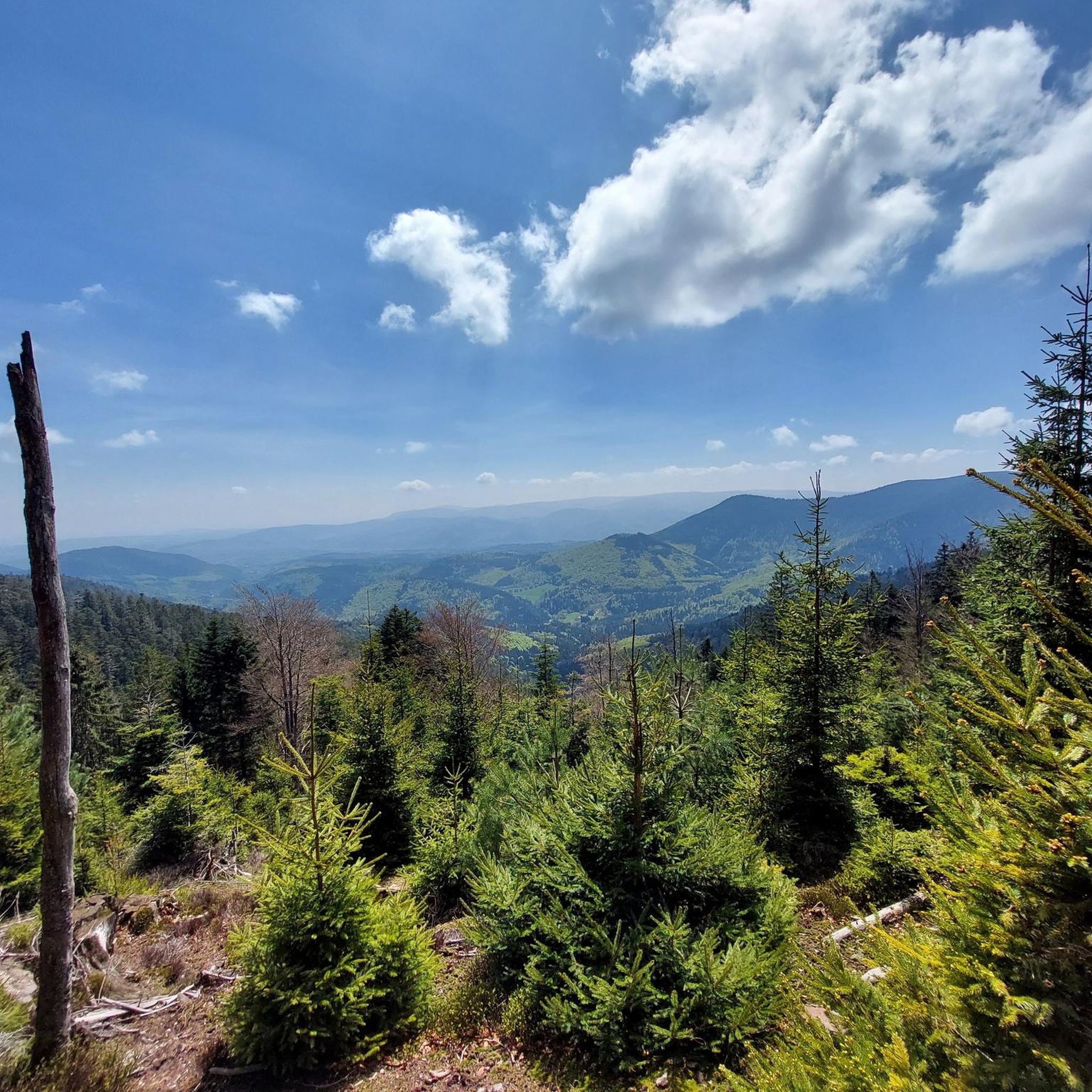
Gravel biking in Réserve Biologique Dirigée De Grossman offers routes through the scenic sandstone High Vosges mountains in France's Grand Est region. The area is characterized by extensive forests, varied topography, and a rich biodiversity, providing a natural setting for cycling. Its highest point is the Grossmann summit at 986 meters, contributing to diverse elevation profiles. The reserve features a mix of unpaved forest roads and paths, ideal for gravel cycling away from paved surfaces.
Best gravel bike trails in…
Last updated: August 26, 2026
2
riders
28.1km
02:32
640m
640m
Hard gravel ride. Very good fitness required. You may need to push your bike for some segments of this route.
4.0
(1)
4
riders
37.6km
03:20
980m
980m
Hard gravel ride. Very good fitness required. You may need to push your bike for some segments of this route.

Sign up for free
5
riders
62.7km
05:53
1,650m
1,650m
Hard gravel ride. Very good fitness required. Mostly paved surfaces. Suitable for all skill levels.
4.0
(2)
7
riders
43.0km
03:45
1,070m
1,070m
Hard gravel ride. Very good fitness required. Mostly paved surfaces. Suitable for all skill levels.
12
riders
73.3km
05:50
1,610m
1,620m
Hard gravel ride. Very good fitness required. Mostly paved surfaces. Suitable for all skill levels.
Get access to more routes and recommendations from other explorers.
Sign up for free
Already have an account?
Our route recommendations are based on thousands of hikes, rides, and runs completed by other people on komoot.
Start today with a free account
Your next adventure awaits.
Login or Signup
Popular around Réserve Biologique Dirigée De Grossman
Tips from the Community

Very good place to stop for refreshments!
0
0

Champ du Feu, at 1099 meters, is the highest mountain in the Bas-Rhin department of the Vosges in Alsace. It lies between the towns of Belmont and Le Hohwald and consists of an extensive high plateau with forests, meadows, and moorlands. The area is a popular nature and recreational area. In summer, it is mainly used for hiking, mountain biking, and nature observation. In winter, there is a small ski area with cross-country trails and simple slopes for winter sports. The brook La Serva originates from Champ du Feu, later forming the Cascade de la Serva. In clear weather, the summit offers wide views over the Vosges, the Rhine plain, and as far as the Black Forest. The area is particularly known for its tranquil nature, high moors, sunrises and starry skies, as well as well-marked hiking trails.
0
0


Beautiful hiking destination, there is also a cycling route
0
0

The tragic story behind this small, sacred monument—which, with its unusual color scheme, is sure to arouse interest and perhaps even entice passing bikers to stop for a moment—has already been described by user 'Jürgen' in his post. "These wayside crosses were erected as visible signs and attract the attention of many people. The cross is a symbol of life. It stands as a sign of our Christian hope and aims to direct our gaze to Jesus Christ, who has conquered death," as Dean Rainald M. Ollig once put it in the foreword to a publication about wayside crosses.
0
0

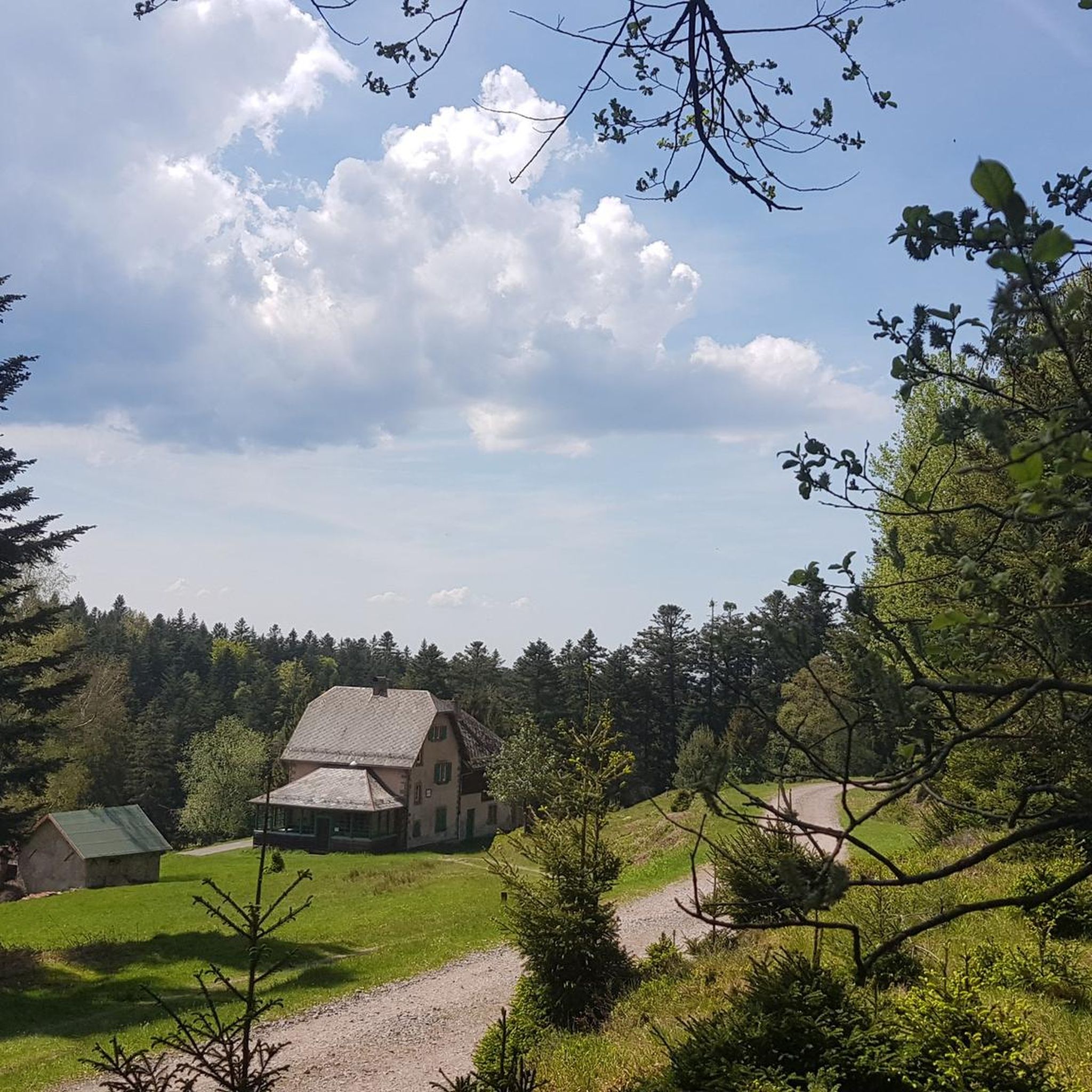
Shelter of the Vosges Club Pays de Dabo from 2018
1
0
Secret meeting place of François Mitterrand and Helmut Kohl in 1984
0
0

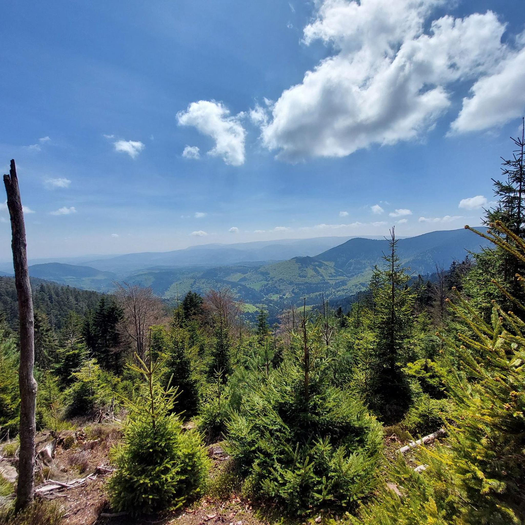
very nice view and a good place to eat
0
0
Frequently Asked Questions
How many gravel bike trails are available in Réserve Biologique Dirigée De Grossman?
There are over 10 gravel bike trails documented in Réserve Biologique Dirigée De Grossman, offering a range of experiences through the region's diverse landscapes.
What kind of terrain can I expect on the gravel bike trails?
You can expect a varied terrain characterized by the scenic sandstone High Vosges mountains. The trails primarily consist of unpaved forest roads and paths, winding through extensive forests and offering a true immersion in nature.
Are there significant climbs or descents on the gravel routes?
Yes, the region's varied topography, including the Grossmann summit at 986 meters, means many routes feature significant elevation changes. For example, the Pandours Pass – Col des Pandours loop from Wangenbourg-Engenthal includes over 1900 meters of ascent.
What natural features or landmarks can I see along the gravel bike trails?
While exploring the reserve, you might encounter various natural and historical points of interest. Notable highlights include the Engenthal-le-Bas to Windsbourg and Hengst Climb, the Ascent to Eichkopf, and the Grossman Forest House. You may also find shelters like the Altmatt Shelter.
Are there any family-friendly gravel routes in the reserve?
The gravel biking routes in Réserve Biologique Dirigée De Grossman are generally geared towards moderate to difficult ability levels, with only one moderate route and no easy routes listed. This suggests that most trails may be challenging for young children or beginner families.
What is the best time of year for gravel biking in Réserve Biologique Dirigée De Grossman?
The extensive forests and varied topography make spring, summer, and early autumn ideal for gravel biking. These seasons offer pleasant temperatures and lush scenery. Winter conditions, especially at higher elevations, may involve snow and ice, making some trails less accessible.
Are there options for circular gravel bike routes?
Yes, many of the gravel routes in the reserve are designed as loops, allowing you to start and finish at the same point. Examples include the Red Saar – Saint-Quirin Church loop from Raon-lès-Leau and the Col des Pandours – Pandours Pass loop from Wangenbourg-Engenthal.
Where can I park when visiting the reserve for gravel biking?
While specific parking areas for gravel biking are not detailed, given the reserve's popularity for outdoor activities, you can typically find parking near trailheads or in nearby villages such as Raon-lès-Leau or Wangenbourg-Engenthal, which serve as starting points for many tours.
Is public transport an option to reach the reserve?
Information on direct public transport links into the heart of the Réserve Biologique Dirigée De Grossman is limited. It is generally recommended to travel by car to reach the starting points of the gravel bike trails, especially for routes originating from smaller towns like Raon-lès-Leau or Wangenbourg-Engenthal.
What do other gravel bikers say about the trails in Réserve Biologique Dirigée De Grossman?
The gravel biking routes in Réserve Biologique Dirigée De Grossman are highly rated by the komoot community, with an average score of 4.7 stars from over 10 reviews. Users often praise the challenging terrain, the immersive forest experience, and the natural beauty of the sandstone High Vosges.
Are there any places to eat or drink near the gravel bike trails?
The reserve itself is a natural area, so amenities like cafes or pubs are not directly on the trails. However, you can find options in the surrounding villages and towns such as Wangenbourg-Engenthal or Raon-lès-Leau, which are common starting points for tours.
What is the overall difficulty level for gravel biking in this region?
Gravel biking in Réserve Biologique Dirigée De Grossman is generally considered challenging. Most routes are rated as 'difficult' due to significant elevation changes and varied forest terrain. There is one 'moderate' route available, but no 'easy' options.
Most popular routes in Réserve Biologique Dirigée De Grossman
Most popular attractions in Réserve Biologique Dirigée De Grossman

Get inspired with the komoot mobile app


Explore more
Browse the best Gravel rides in other regions.
