The best gravel rides in Pretty River Valley Provincial Park
4.7
(3)
76
riders
6
rides
Gravel biking in Pretty River Valley Provincial Park offers routes through varied terrain, characterized by forested valleys and rolling hills. The park's landscape includes a mix of natural surfaces suitable for gravel bikes, with elevations that provide both challenging climbs and scenic descents. This region features a network of trails that traverse natural areas, offering a diverse experience for gravel cyclists.
Best gravel bike trails in Pretty River Valley Provincial Park
- The most popular gravel bike trail is 12th Sideroad…
Last updated: November 3, 2026
4.0
(1)
15
riders
Hard gravel ride. Good fitness required. You may need to push your bike for some segments of this route.
17
riders
Easy gravel ride. Mostly paved surfaces.

5.0
(1)
16
riders
Moderate gravel ride. Good fitness required. Mostly paved surfaces.
5.0
(1)
11
riders
Moderate gravel ride. Good fitness required. Mostly paved surfaces.
8
riders
16.8km
00:57
40m
40m
Easy gravel ride. Mostly paved surfaces.
Our route recommendations are based on thousands of hikes, rides, and runs completed by other people on komoot.
Start today with a free account
Your next adventure awaits.
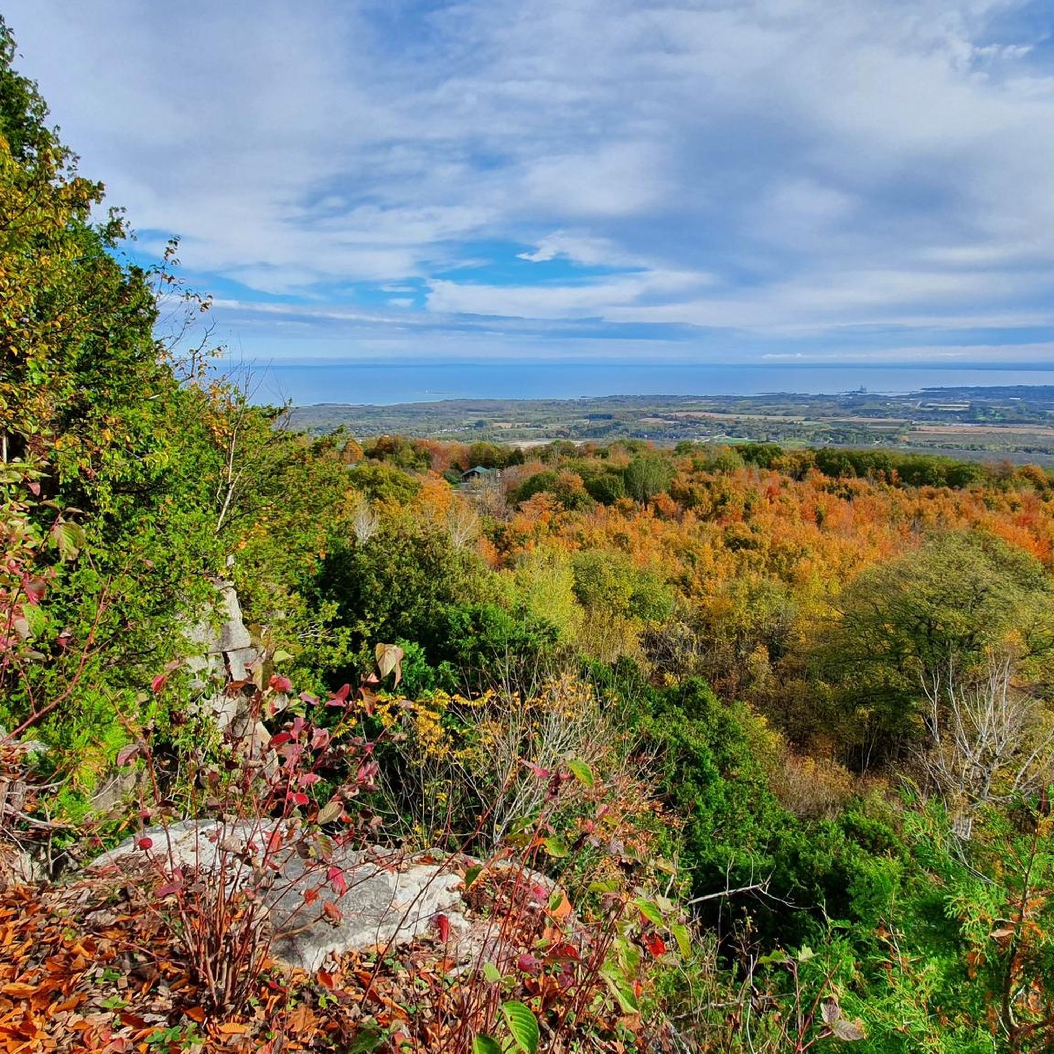
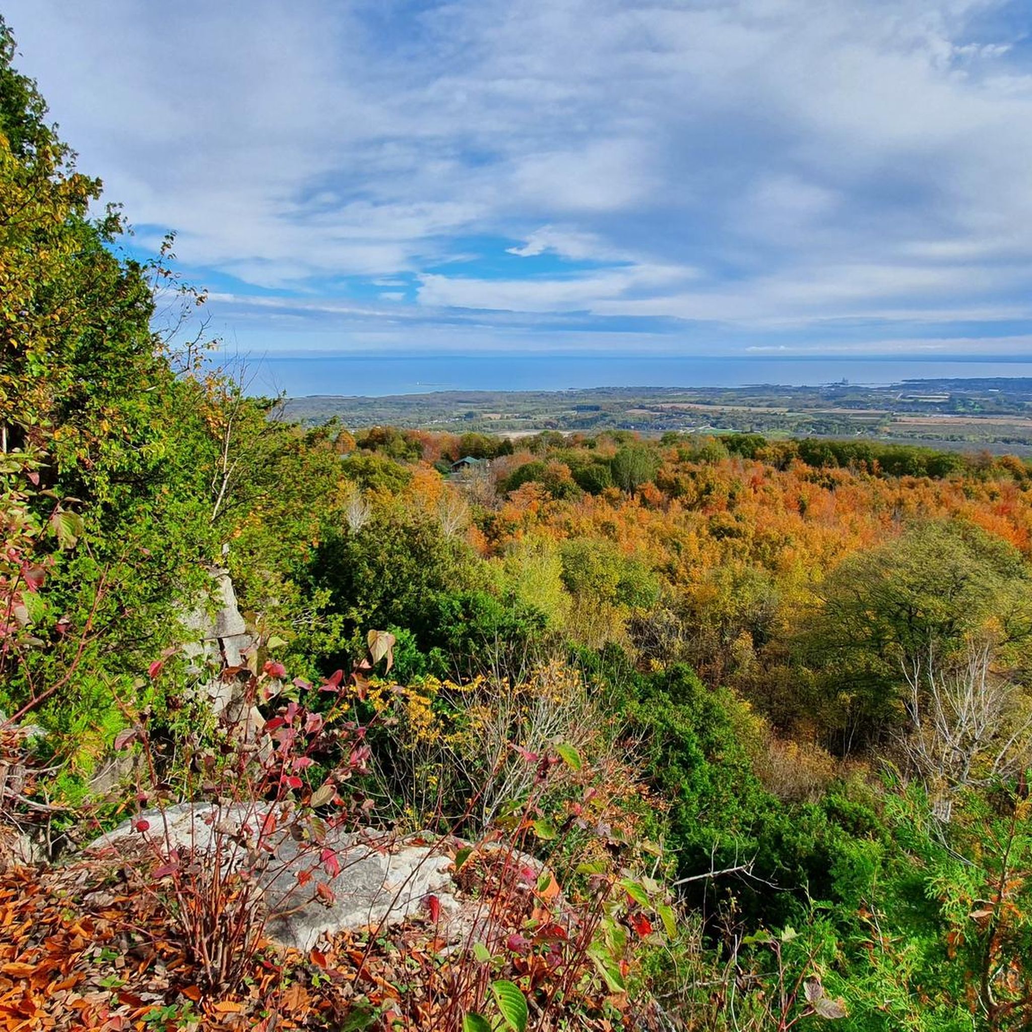
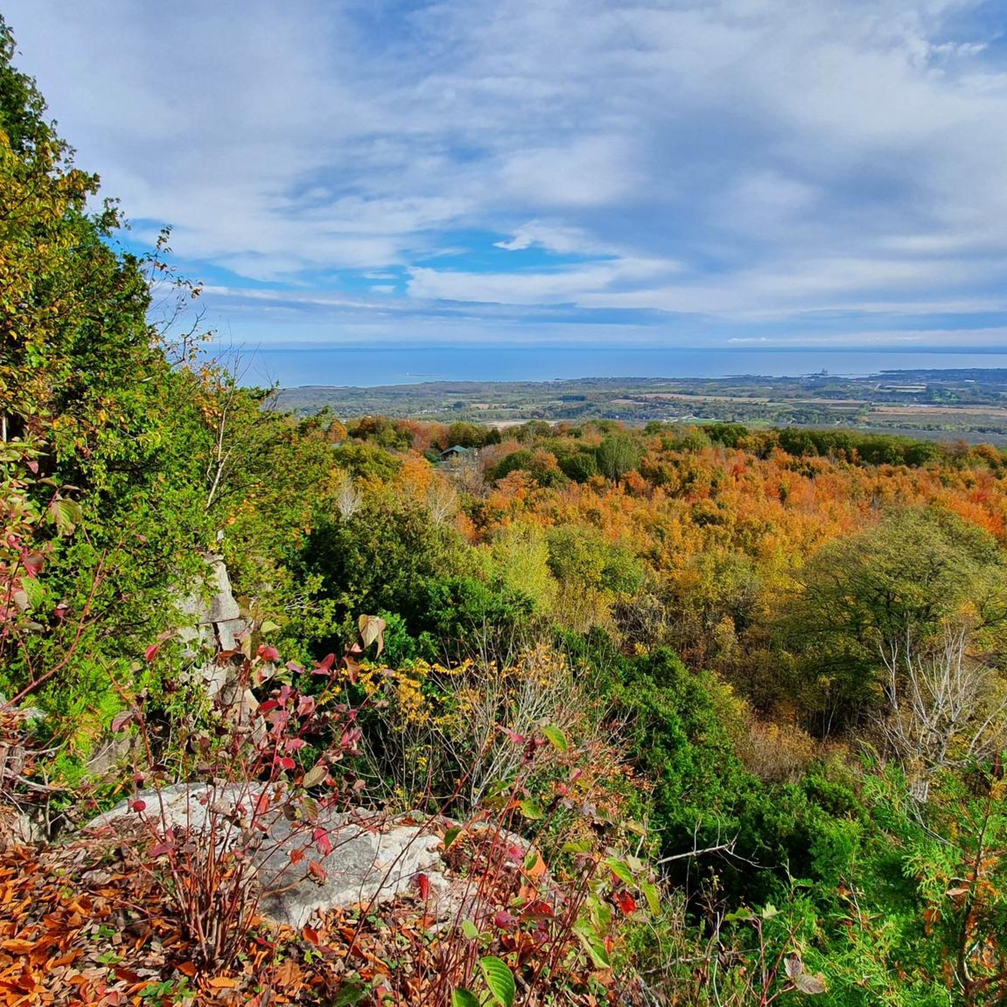
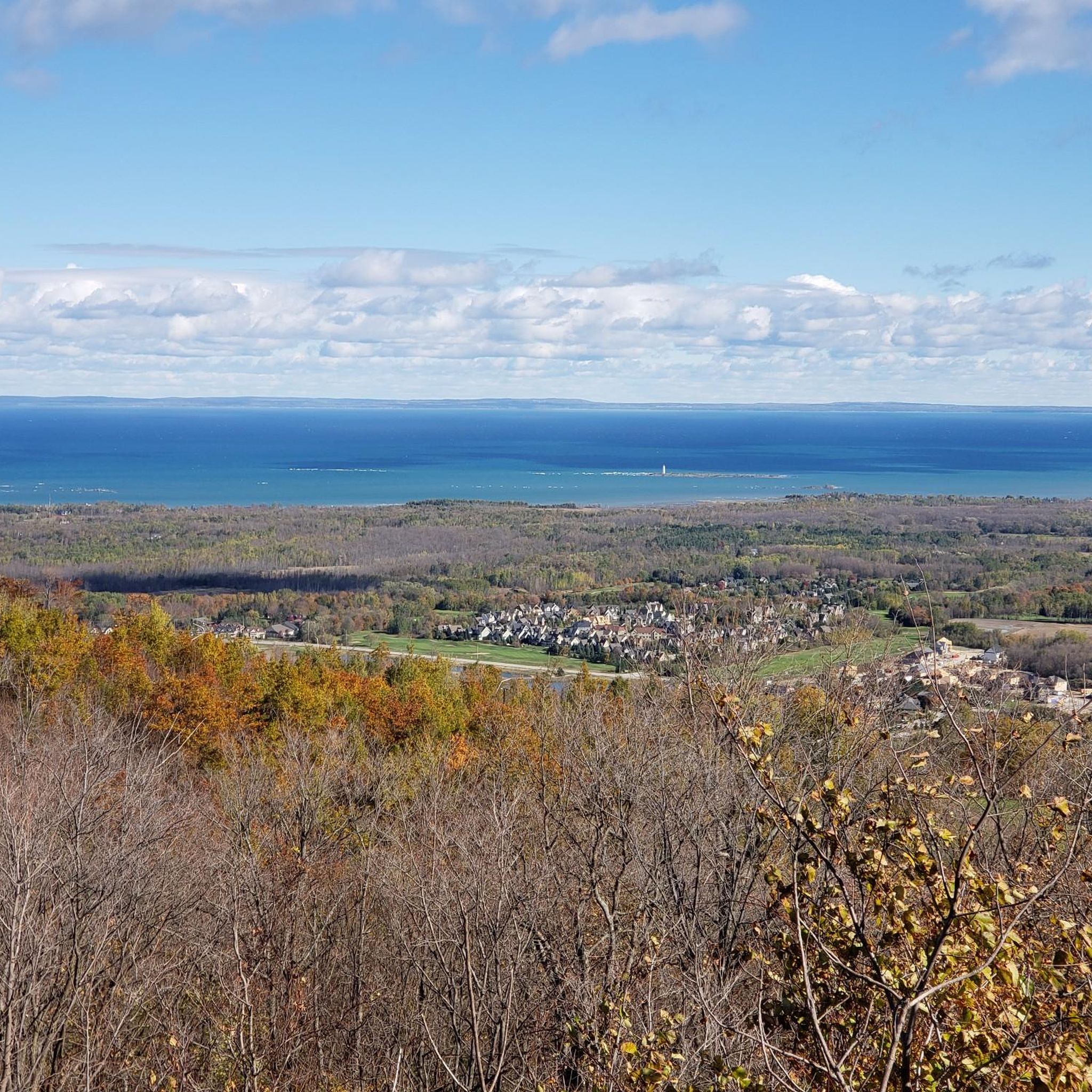
Tips from the Community

Barrie-Collingwood Rail Trail follows a former railway corridor for roughly 34 kilometres between Collingwood and Angus, passing through Stayner and New Lowell along the way. This flat, crushed-gravel trail runs through quiet countryside between the communities, making it a popular route for walking and cycling. Trains ran along this line until 2011, before it became the shared-use trail it is today, ideal for walking or riding at your own pace.
0
0
Millennium Park sits at the northern tip of Collingwood Harbour, right beside the town’s landmark grain terminals, with fantastic open views across Georgian Bay to Blue Mountain. Benches and a large grassy lawn make it an easy place to linger by the water, with interpretive signs sharing some of the harbour’s history. On summer days, the pier is a popular fishing spot, and the occasional food truck is a nice bonus if you’d like to stay for lunch.
0
0

From the end point of the Black Ash Trail, there are views across the meadow of the Osler Bluff Ski Club, a family-friendly ski and snowboarding resort. The view of the hill has clearings of trees where several runs were built, etched into the forest. In summer, activities like mountain biking and zip-lining, make Osler Bluff Ski Club a year-round hub for outdoor adventure.
0
0
Black Ash Creek flows through wetlands and woods, providing a habitat for local wildlife and scenic views for those exploring the trails along the creek. Hikers and bikers can explore the creek’s surroundings via the Black Ash Trail, Georgian Trail and Boardwalk Trail, all well-maintained pathways that follow the river's curves.
0
0
The Black Ash Trail follows the course of Black Ash Creek, offering a scenic route for walking, jogging, cycling, and cross-country skiing come winter. The trail is well-maintained, flat and made up of hard-packed gravel. The Black Ash Trail also connects to other local pathways, but be careful as it crosses a few busy roads like Mountain Road and Sixth Street.
0
0
Thornbury Railway Bridge carries the Georgian Trail across the mouth of the Beaver River, following the route of the old Northern Railway line that connected Collingwood and Meaford from the 1870s. The last train crossed here in 1984 before the route became part of the walking and cycling trail in 1989. From here, you get beautiful views up the river toward Thornbury Dam and out toward Georgian Bay, especially in autumn, when you can watch salmon making their way upstream to spawn.
0
0


This trail is named for the park it borders, not for the actual views, as they're much better from the other side of the park. Still, this pathway makes for pleasant walking and forms part of a walkable loop that goes all the way around Optimist Harbourview Park.
0
0
Frequently Asked Questions
How many gravel bike trails are available in Pretty River Valley Provincial Park?
Pretty River Valley Provincial Park offers approximately 9 gravel bike trails, catering to various skill levels from easy to difficult.
Are there gravel biking routes suitable for beginners or families in the park?
Yes, the park features several easy routes ideal for beginners or families. For example, the Gravel loop from Mair Mills Community Park is an easy 16.6 km path that provides a straightforward gravel experience.
What are the options for more advanced gravel bikers in Pretty River Valley Provincial Park?
Advanced riders can find challenging routes with significant climbs. The 12th Sideroad Gravel Climb – View of Georgian Bay loop from Blue Mountain Ski Resort is a difficult 36.3 km trail featuring a substantial ascent and rewarding views towards Georgian Bay.
Are there any loop routes for gravel biking in Pretty River Valley Provincial Park?
Many of the gravel routes in the park are designed as loops. Examples include the Gravel loop from Mair Mills Community Park and the Sunset Point – Sunset Point Park loop from Mair Mills Community Park, offering convenient circular rides.
What is the best season for gravel biking in Pretty River Valley Provincial Park?
The best seasons for gravel biking are typically spring, summer, and fall, when the trails are free of snow and ice. Fall offers particularly scenic rides with vibrant foliage. Winter conditions can make some trails challenging or impassable due to snow and ice.
Are dogs allowed on the gravel bike trails in Pretty River Valley Provincial Park?
As a provincial park, Pretty River Valley generally allows dogs on trails, but they must be kept on a leash at all times. It's always a good idea to check the specific park regulations before your visit to confirm any restrictions.
Where can I find parking and trailheads for gravel biking in the area?
Many routes start from accessible points. For instance, the Gravel loop from Mair Mills Community Park begins directly from a community park, which typically offers parking facilities. Other routes may start near popular resorts or public access points; checking the individual tour details on komoot will provide specific trailhead information.
Are there any permits required for gravel biking in Pretty River Valley Provincial Park?
As a provincial park, day-use permits or seasonal passes may be required for entry and trail access. It is advisable to check the official Ontario Parks website for the most current information on fees and permits before planning your trip.
What do other gravel bikers enjoy most about the trails in Pretty River Valley Provincial Park?
The komoot community highly rates the gravel biking experience in Pretty River Valley Provincial Park, with an average score of 4.5 stars. Riders often praise the varied terrain, which includes forested valleys and rolling hills, and the diverse network of trails that offer options for different ability levels.
Are there any scenic viewpoints or natural attractions along the gravel routes?
The park's landscape is characterized by forested valleys and rolling hills, offering natural beauty throughout. Routes like the 12th Sideroad Gravel Climb provide rewarding views towards Georgian Bay, showcasing the region's scenic appeal.
Are there cafes or pubs near the gravel trails for a post-ride stop?
While the park itself is a natural area, the routes often pass near or start from communities like Mair Mills or Blue Mountain Ski Resort. These areas typically offer amenities such as cafes, restaurants, and pubs where you can refuel after your ride.
What kind of wildlife might I encounter while gravel biking in the park?
Pretty River Valley Provincial Park is home to various wildlife typical of Ontario's natural areas. You might spot deer, various bird species, and smaller mammals. Maintaining a respectful distance and not disturbing animals is always recommended.
Most popular routes in Pretty River Valley Provincial Park

Get inspired with the komoot mobile app


Explore more
Browse the best Gravel rides in other regions.
