The best gravel rides in Briones Regional Park
3.3
(5)
64
riders
14
rides
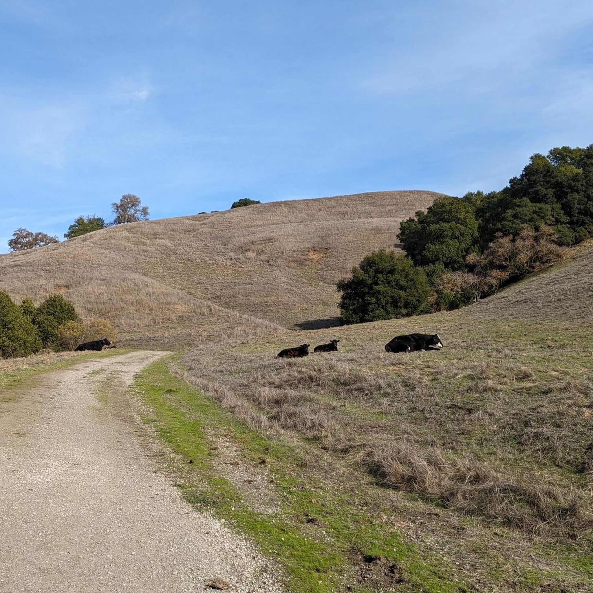
Gravel biking in Briones Regional Park offers an expansive network of diverse trails across over 6,000 acres in central California's East Bay region. The park features rolling hills, oak woodlands, and grasslands, providing varied terrain for cyclists. Its extensive trail system, largely composed of old fire roads, includes steady climbs, gravel descents, and some singletrack sections. Briones Peak, at 1,483 feet (452 meters), provides panoramic views across the landscape.
Best gravel bike trails in Briones Regional Park
- The most popular…
Last updated: August 26, 2026
5.0
(2)
8
riders
44.3km
03:15
820m
820m
Hard gravel ride. Very good fitness required. Mostly paved surfaces. Suitable for all skill levels.
3.0
(1)
4
riders
28.3km
01:52
320m
320m
Moderate gravel ride. Good fitness required. Mostly paved surfaces. Suitable for all skill levels.

Sign up for free
12
riders
55.9km
03:58
970m
960m
Hard gravel ride. Very good fitness required. You may need to push your bike for some segments of this route.
13
riders
31.5km
02:15
530m
530m
Hard gravel ride. Very good fitness required. Mostly paved surfaces. Suitable for all skill levels.
8
riders
21.2km
01:27
340m
340m
Moderate gravel ride. Good fitness required. Mostly paved surfaces. Suitable for all skill levels.
Get access to more routes and recommendations from other explorers.
Sign up for free
Already have an account?
Our route recommendations are based on thousands of hikes, rides, and runs completed by other people on komoot.
Start today with a free account
Your next adventure awaits.
Login or Signup
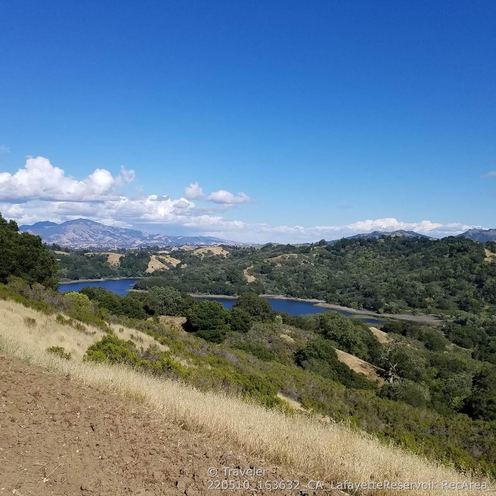
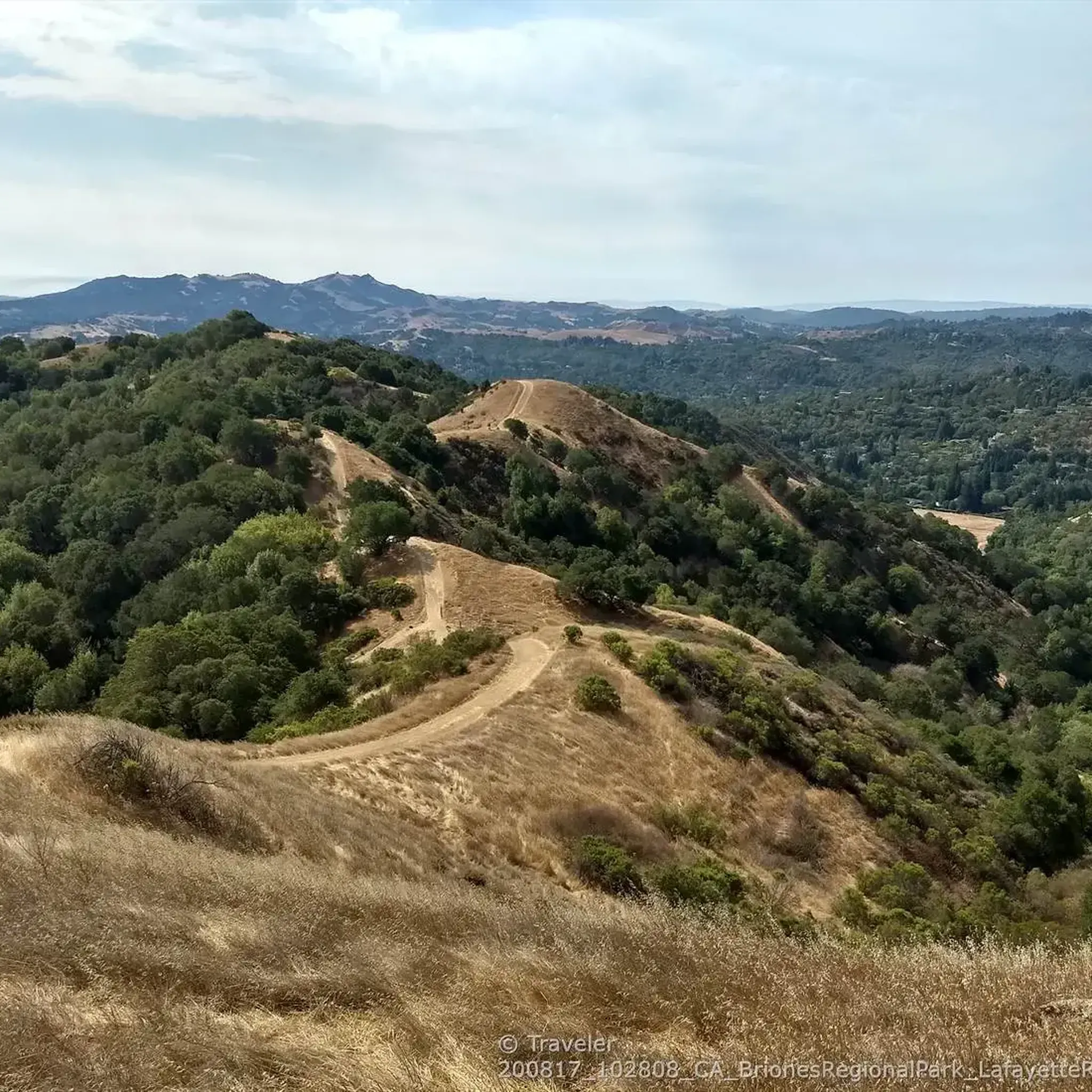
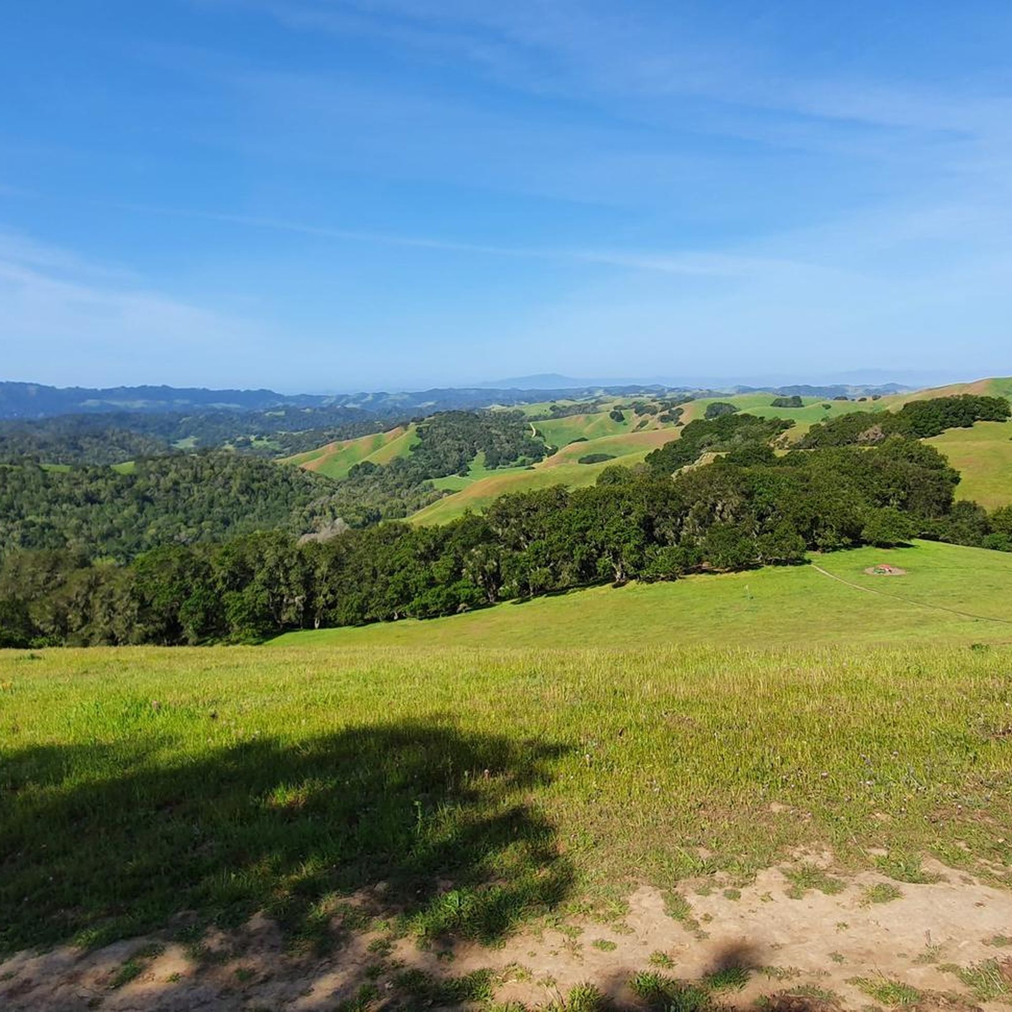
Tips from the Community

Valle Vista is the trailhead for the paved Lafayette-Moraga Regional Trail, a popular rail-trail for cyclists. There’s a restroom here, but note: the EBMUD dirt trails are hiking-only and require a permit. The bike trail has been officially closed between here and Moraga since a 2019 landslide.
0
0

This road parallels the ridgeline above and have great views over the bay and surrounding hills.
0
0

Wildcat Creek Trail is a packed-dirt trail that is about four miles long. One end of the trail is at Jewel Lake, near the Environmental Education Center, and the other end of the trail is at the Alvarado Staging Area. This trail offers great views of Wildcat Creek and has some picnic tables you could stop at along the side of the trail.
0
0


This trailhead begins at the Contra Costa Canal Trail junction. Most of the trail runs along the Ygnacio Canal, where you'll likely see plenty of ducks who inhabit the area. Most of the trail is paved, however, there is an unpaved section near Ygnacio Valley Rd.
0
0

The Iron Horse Trail is a 32-mile multi-path that connects the towns of Concord and Pleasanton. It follows the route of the abandoned Southern Pacific Railroad. With its access to schools, business centers, and parks, the path is popular with commuters and recreationalists.
1
0
The Iron Horse Trail is a 32-mile multi-path that connects the towns of Concord and Pleasanton. It follows the route of the abandoned Southern Pacific Railroad. With its access to schools, business centers, and parks, the path is popular with commuters and recreationalists.
0
0
Frequently Asked Questions
What kind of terrain can I expect on gravel bike trails in Briones Regional Park?
Briones Regional Park offers a varied terrain ideal for gravel biking, largely composed of old fire roads. You'll encounter a mix of steady climbs, exhilarating gravel descents, and some singletrack sections. While some parts can be 'chunky fire road' or 'super steep,' they are generally manageable on a gravel bike. The park is characterized by rolling hills, oak woodlands, and grasslands, providing a dynamic riding experience.
Are there any easy or beginner-friendly gravel bike routes in Briones Regional Park?
While many routes in Briones Regional Park feature significant elevation changes, there are options that cater to different ability levels. For a moderate ride, consider the Iron Horse Trail – Iron Horse Trail bridge loop from Walnut Creek, which is 18.3 miles (29.5 km) long and leads through open parkland. Another moderate option is the Heather Farm & Lake – Ygnacio Canal Trailhead loop from De La Salle High School, covering 28.5 miles (45.9 km).
What are the best times of year to go gravel biking in Briones Regional Park?
Gravel biking in Briones Regional Park is particularly pleasant during winter and spring. Cooler weather transforms the hillsides into a lush, green landscape, and you can enjoy beautiful wildflower blooms in the spring. Summers can be hot and dry, turning the hills golden, while autumn offers mild temperatures.
Are there scenic viewpoints or natural features to look out for along the trails?
Yes, Briones Regional Park is known for its panoramic views and diverse natural features. You can reach Table Top overlook for sweeping vistas. Briones Peak, the park's highest point, offers views encompassing Mount Diablo, the Sacramento River, the Berkeley Hills, and Mount Tamalpais on a clear day. The park also features diverse ecosystems, including grasslands, oak woodlands, and chaparral, and lagoons like Maricich and Sindicich, which are vibrant with bird and amphibian life.
How many gravel bike trails are available in Briones Regional Park?
There are over 20 gravel bike trails available for exploration in Briones Regional Park. These routes offer a wide range of distances and difficulties, ensuring there's something for every gravel biker.
What do other gravel bikers enjoy most about Briones Regional Park?
The area is highly rated by the komoot community, with an average score of 4.0 stars from over 3 reviews. Reviewers often praise the expansive network of diverse trails, the challenging climbs, and the rewarding panoramic views from the rolling hills. The variety of terrain, from fire roads to singletrack, is also frequently highlighted.
Is Briones Regional Park accessible by public transport for gravel bikers?
While the park is close to urban areas, direct public transport access to trailheads specifically for gravel biking can be limited. Many visitors opt to drive to one of the designated parking areas. It's advisable to check local transit options and their proximity to park entrances if you plan to use public transport.
Where can I park my car when visiting Briones Regional Park for gravel biking?
Briones Regional Park offers several access points with parking. Notable trailheads with parking include Bear Creek Trailhead and Pleasant Hill Trailhead (Briones Regional Park). These provide convenient starting points for various gravel routes within the park.
Are there any family-friendly gravel biking options in Briones Regional Park?
While many trails in Briones Regional Park involve significant climbs and descents, some flatter sections or wider fire roads might be suitable for families with older children or those comfortable with moderate distances. It's best to review individual route profiles for elevation and terrain details to determine suitability for your family's experience level.
Can I bring my dog on the gravel bike trails in Briones Regional Park?
Briones Regional Park is generally dog-friendly, but specific rules regarding leashes and areas where dogs are permitted may apply. It's always recommended to check the official park regulations before heading out with your dog to ensure a pleasant and compliant experience for everyone.
Are there any cafes or places to get coffee near Briones Regional Park?
Given the park's proximity to urban areas like Lafayette and Walnut Creek, you'll find various cafes and coffee shops in the surrounding towns. These are convenient for a pre-ride caffeine boost or a post-ride refreshment, typically just a short drive from the park's main entrances.
What are some challenging gravel bike routes in Briones Regional Park?
For experienced gravel bikers seeking a challenge, the park offers several difficult routes. The Skyline Boulevard – Grizzly Peak Boulevard loop from Lafayette is a demanding 45.5 miles (73.3 km) trail with significant elevation gain. Another difficult option is the Iron Horse Trail junction – Heather Farm & Lake loop from Walnut Creek, a 27.4 miles (44.1 km) path combining varied terrain and scenic lake views.
Most popular routes in Briones Regional Park
Most popular attractions in Briones Regional Park

Get inspired with the komoot mobile app


Explore more
Browse the best Gravel rides in other regions.
