Rio De Los Angeles State Park State Recreational Area
Rio De Los Angeles State Park State Recreational Area
The best gravel rides in Rio De Los Angeles State Park State Recreational Area
5.0
(1)
46
riders
14
rides
Gravel biking in Rio De Los Angeles State Park State Recreational Area offers an urban oasis experience, characterized by restored river wetlands and accessible green spaces. The park itself features flat walking paths, providing a gentle environment for cycling. Its strategic location provides direct access to the Los Angeles River Greenway, an extensive multi-use trail system that includes segments with varied surfaces suitable for gravel biking. This connection allows cyclists to explore a broader network of trails, including those leading…
Last updated: October 1, 2026
12
riders
39.9km
03:55
1,230m
1,230m
Hard gravel ride. Very good fitness required. Mostly paved surfaces. Suitable for all skill levels.
4
riders
21.8km
02:02
700m
700m
Hard gravel ride. Very good fitness required. Mostly paved surfaces. Suitable for all skill levels.

17
riders
Hard gravel ride. Very good fitness required. Mostly paved surfaces. Suitable for all skill levels.
6
riders
Hard gravel ride. Very good fitness required. Mostly paved surfaces. Suitable for all skill levels.
5.0
(1)
7
riders
101km
08:41
2,700m
2,700m
Hard gravel ride. Very good fitness required. Mostly paved surfaces. Suitable for all skill levels.
Get access to more routes and recommendations from other explorers.
Already have an account?
Our route recommendations are based on thousands of hikes, rides, and runs completed by other people on komoot.
Start today with a free account
Your next adventure awaits.
Popular around Rio De Los Angeles State Park State Recreational Area
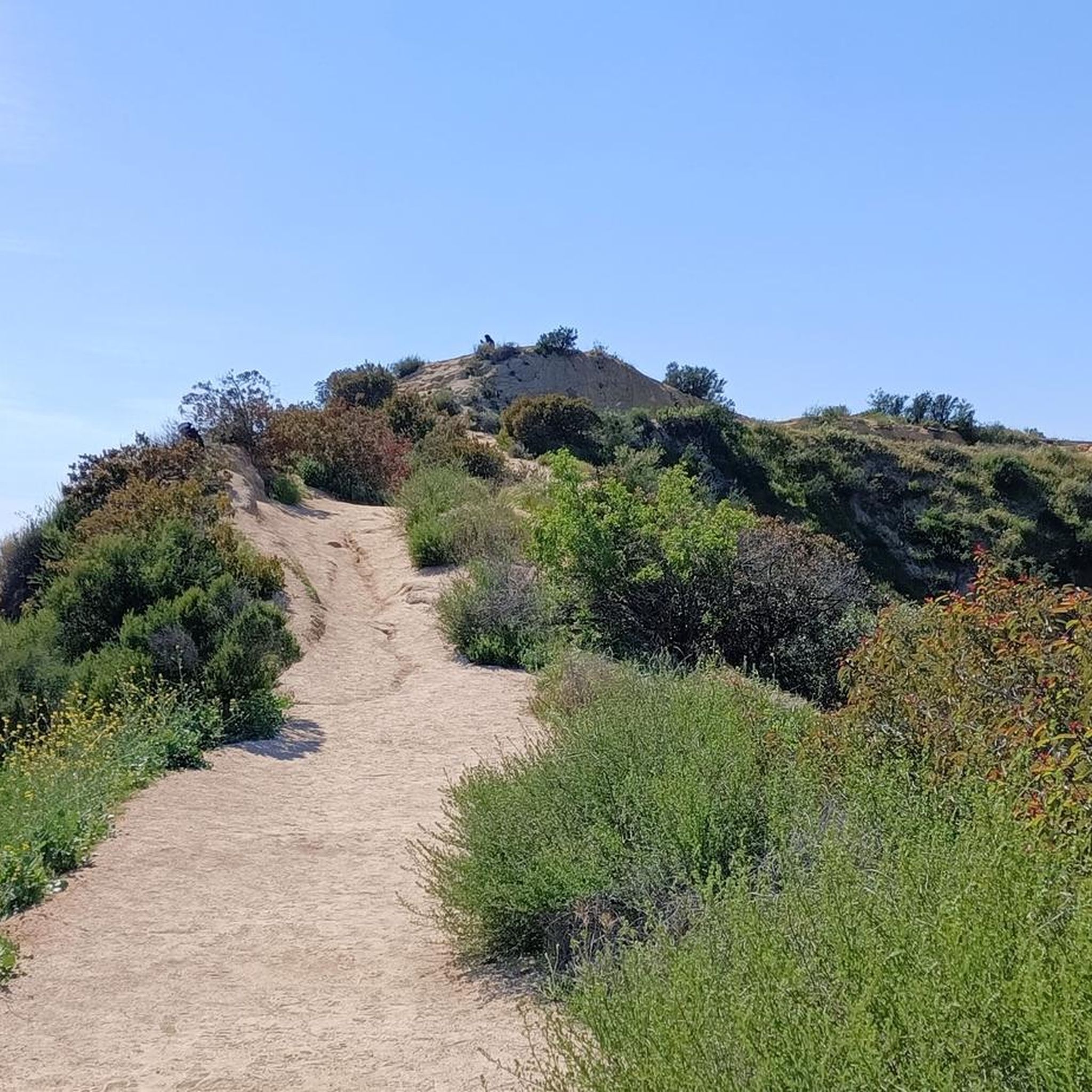
Hiking in Rio De Los Angeles State Park State Recreational Area
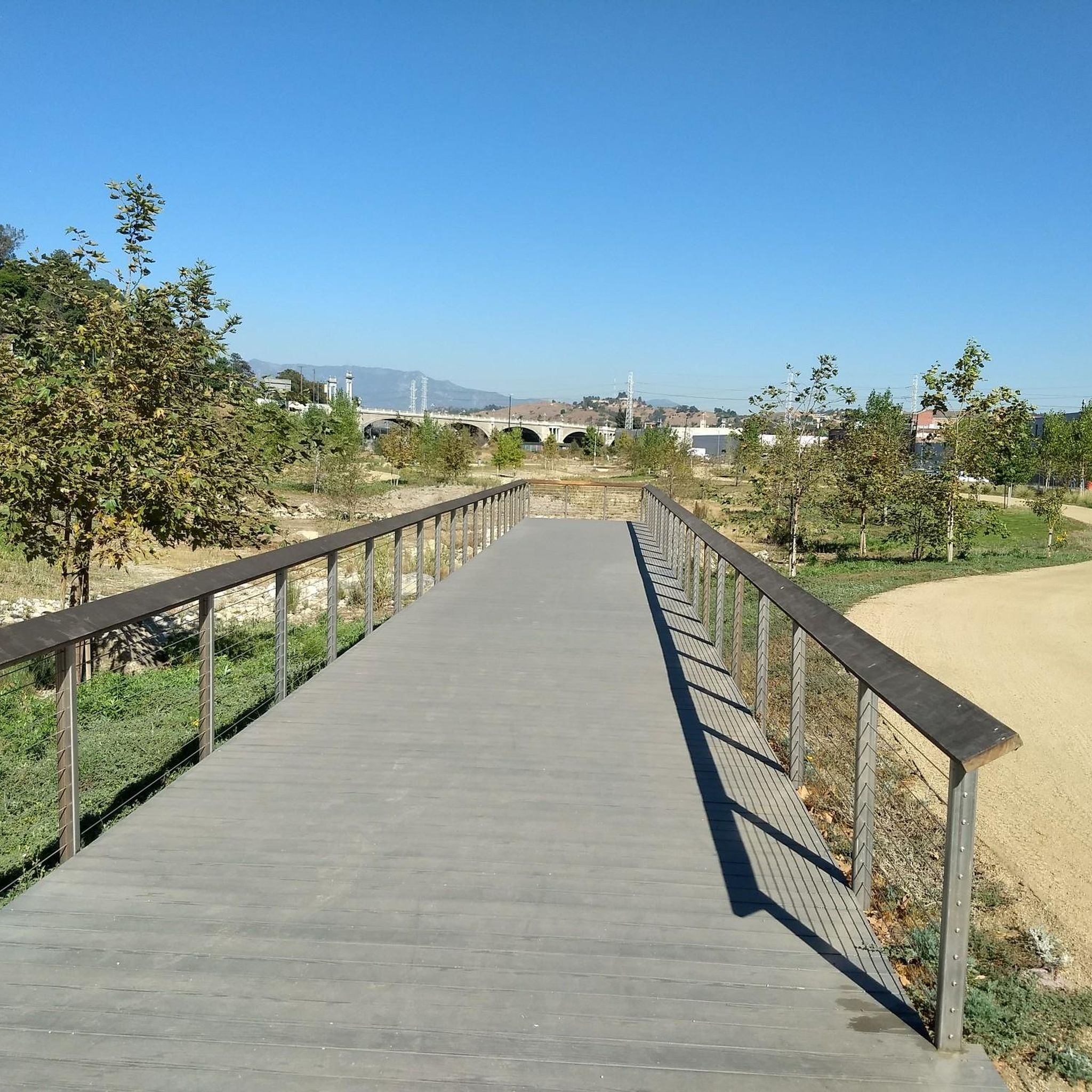
Cycling in Rio De Los Angeles State Park State Recreational Area
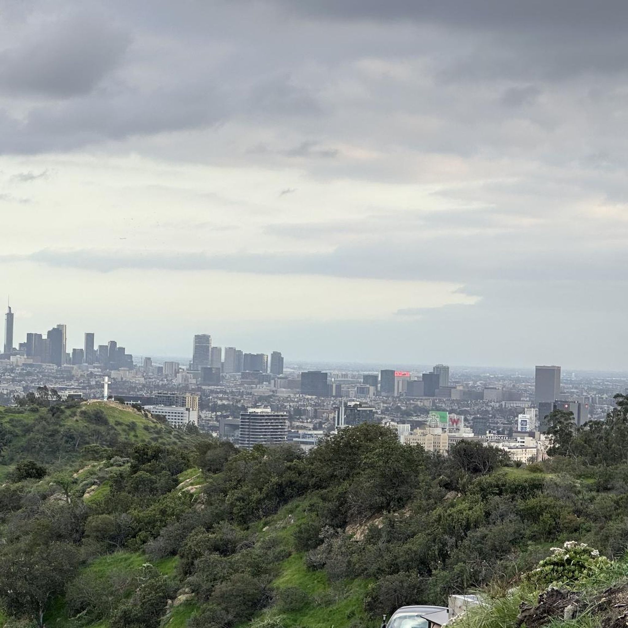
Road Cycling Routes in Rio De Los Angeles State Park State Recreational Area

Running Trails in Rio De Los Angeles State Park State Recreational Area
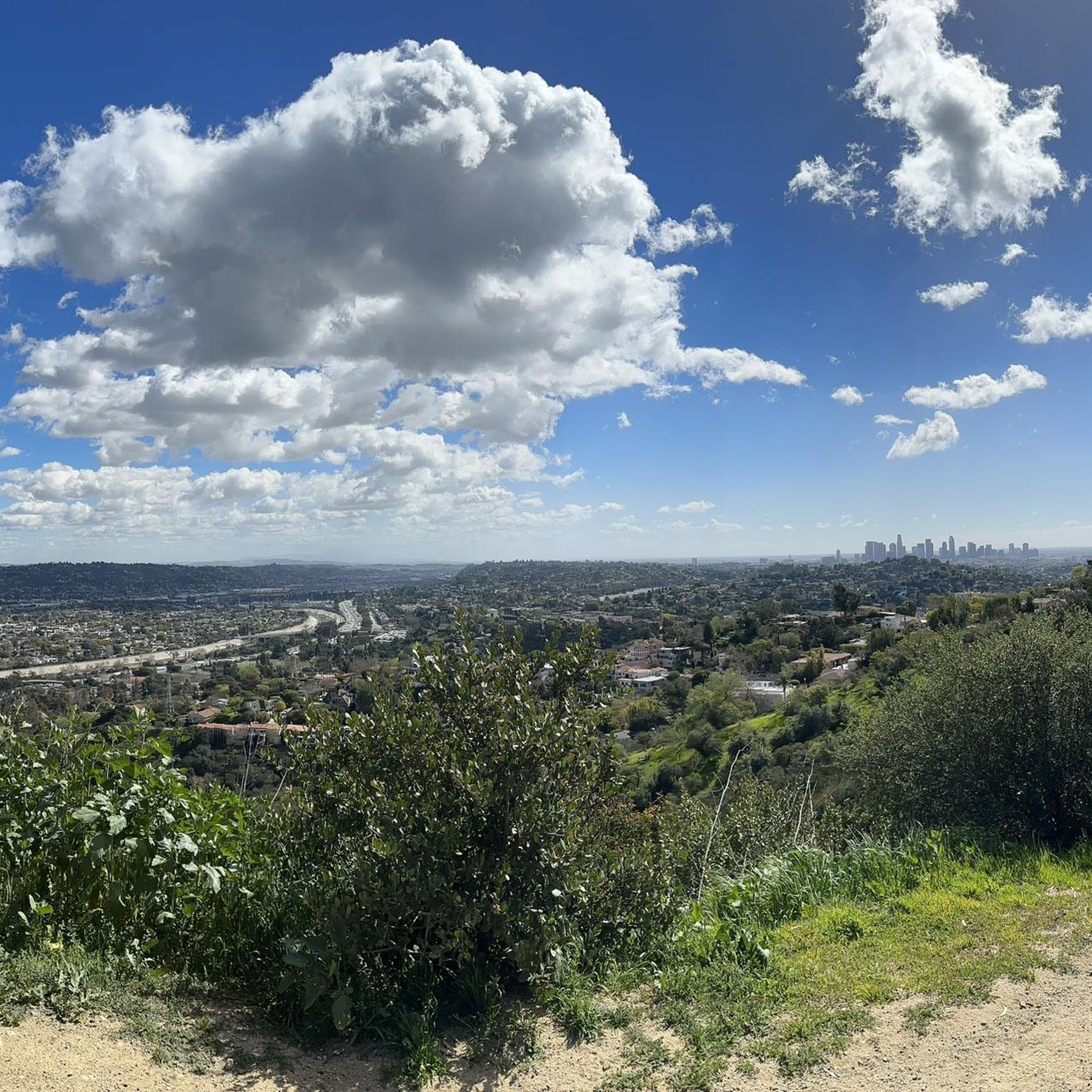
MTB Trails in Rio De Los Angeles State Park State Recreational Area
Tips from the Community

Short tunnel on the eastern slope below San Gabriel Peak, part of the old Mt Lowe Motorway, that was never paved. The tunnel is very short, so you don't have to worry about bringing light. The road continues to the trailhead half a mile uphill.
0
0

A solid entry to the Verdugo Mountains with rewarding climbs and views, but watch the start—there are ruts and leftover metal pieces on the trail. Stay alert and pick your line carefully to avoid punctures or spills before the smoother sections begin.
1
0

This tunnel was blasted into existence in 1942 to form the old Mount Lowe Motorway.
0
0

The Club House is a vibrant bike shop offering bike sales and service, apparel, gear, and cacti. What began with a red VW bus and online sales in 2017 transitioned to an old service station turned plant store. A small, fun-loving team runs the shop, sharing their love of cycling. Stop by for events like the annual Bike & Car Show, a lazy Sunday ride, the Wednesday night Basket Ride, or just to grab coffee at their mobile espresso bar.
1
0
Red Box Gap, located below Lawlor Peak, offers great views and an ideal spot for a break. A 3.5-mile trail from here leads to Strawberry Peak, which comes into view before reaching the saddle. Popular with hikers and bikers, Red Box has a trailhead parking area, the Haramokngna American Indian Cultural Center, and a natural stone viewpoint. The center typically opened on weekends and holidays from 10 a.m. to 6 p.m.
0
0

a nice intermediate hike perfect for newbies. Great views of LA.
0
0

You can approach this 3,124-foot peak from several directions, but the multi-use Verdugo Motorway is the most common uphill option.
0
0

MRCA Open Space is managed by the Mountains Recreation and Conservation Authority, which oversees 75,000 acres of public parkland and open space owned by the Santa Monica Mountains Conservancy, this space offers great views and shaded trails for a refreshing and tranquil biking experience.
1
0
Frequently Asked Questions
What kind of gravel biking experience can I expect in Rio De Los Angeles State Park State Recreational Area?
While the park itself offers flat walking paths suitable for gentle rides, its primary appeal for gravel bikers is its direct connection to the Los Angeles River Greenway. This extensive multi-use trail system features segments with varied surfaces, including gravel, allowing for more adventurous and longer rides that can connect you to broader routes, such as those leading into the Verdugo Mountains.
Are there challenging gravel bike trails available?
Yes, the region offers several challenging routes, particularly those extending into the Verdugo Mountains. For example, the Miradero Gate – Brand Park loop from Glendale is a difficult 18.8-mile trail with significant elevation gain. Another demanding option is the Verdugo Peak – Verdugo Peak loop from Glendale, covering 29.8 miles with substantial climbing.
What are the typical distances and elevation gains for gravel routes in this area?
Gravel routes in the vicinity of Rio De Los Angeles State Park State Recreational Area vary significantly. You can find challenging loops like the Verdugo Crest Trail Trailhead – Verdugo Peak loop from Glendale City Center, which is 17.9 miles long with over 830 meters of elevation gain. For longer rides, consider the Verdugo Peak – Brookside Park loop from South Pasadena, spanning over 38 miles and featuring more than 1200 meters of climbing.
Are there any family-friendly or beginner-friendly gravel biking options?
Within Rio De Los Angeles State Park itself, the well-maintained, flat walking paths are suitable for all fitness levels and can be a good starting point for families or beginners. For more extensive gravel riding, the Los Angeles River Greenway, accessible from the park, offers a mix of surfaces, some of which are less challenging, though specific beginner-focused gravel routes are not explicitly highlighted in the more adventurous options.
What kind of landmarks or natural features can I see along the trails?
The park itself is known for its restored natural river wetlands and native plants, offering opportunities for wildlife viewing. As you venture onto the Los Angeles River Greenway, you'll experience a blend of urban landscapes and natural riverine environments. Routes extending into the Verdugo Mountains provide panoramic viewpoints and a more rugged, mountainous terrain.
Is Rio De Los Angeles State Park State Recreational Area dog-friendly for gravel biking?
The park features well-maintained walking paths that are suitable for dog walking. When gravel biking, it's generally advisable to check specific trail regulations for the Los Angeles River Greenway and any connecting mountain trails, as rules for dogs can vary by section. Always keep dogs on a leash and be mindful of other trail users.
What is the best time of year to go gravel biking in this area?
Southern California generally offers pleasant weather for outdoor activities year-round. However, spring and fall often provide the most comfortable temperatures for gravel biking, avoiding the hotter summer months. Winter can also be a good time, though occasional rain might affect trail conditions, particularly on unpaved sections.
How many gravel bike trails are available in the Rio De Los Angeles State Park State Recreational Area region?
There are 13 gravel bike routes documented in the region around Rio De Los Angeles State Park State Recreational Area. Most of these, 12 to be exact, are classified as difficult, offering significant challenges for experienced riders, while one route is considered moderate.
Are there circular gravel bike routes available?
Yes, many of the gravel biking routes in the area are designed as loops. For instance, the Verdugo Crest Trail Trailhead – Verdugo Peak loop from Glendale Community College is a 19.6-mile circular route that takes you through mountainous terrain, providing a complete riding experience back to your starting point.
What are the parking and public transport options for accessing the trails?
Rio De Los Angeles State Park offers parking facilities for visitors. For accessing the broader gravel biking network, particularly routes extending into the Verdugo Mountains, trailheads often have designated parking areas. Public transport options in the greater Los Angeles area can connect you to the vicinity of the park and the Los Angeles River Greenway, though direct access to specific mountain trailheads might require a car.
What is the historical significance of Rio De Los Angeles State Park?
The park is situated on the site of the former Taylor Yard, a major freight-switching facility that operated until 1985. It has since been transformed into a 247-acre green space dedicated to ecological restoration and public recreation, showcasing a successful transition from an industrial brownfield to a vibrant natural and recreational area. You can learn more about the park's history and features on the official California State Parks website: California State Parks.
Most popular routes in Rio De Los Angeles State Park State Recreational Area

Get inspired with the komoot mobile app


Explore more
Browse the best Gravel rides in other regions.
