The best mountain hikes around Marañón
16
hikers
3
hikes
Mountaineering routes around Marañón traverse a region characterized by deep canyons, steep valleys, and a dramatic transition from Andean highlands to tropical rainforests. The Marañón River carves through immense gorges, some reaching depths of up to 3,000 meters, creating a rugged and challenging landscape for trekking. The unique Marañón Dry Forests, with their arid, desert-like terrain, offer distinct mountainous exploration opportunities. This diverse topography provides strenuous and rewarding mountaineering experiences.
Best mountaineering routes around Marañón
- The most popular mountaineering route…
Last updated: September 5, 2026
10
hikers
6.58km
03:33
600m
600m
Moderate mountaineering route. Good fitness required. Mostly accessible paths. Sure-footedness required.
3
hikers
13.2km
05:05
650m
650m
Hard mountaineering route. Very good fitness required. Sure-footedness, sturdy shoes and alpine experience required.

Sign up for free
3
hikers
8.07km
04:11
710m
710m
Hard mountaineering route. Good fitness required. Sure-footedness, sturdy shoes and alpine experience required.
Our route recommendations are based on thousands of hikes, rides, and runs completed by other people on komoot.
Start today with a free account
Your next adventure awaits.
Login or Signup
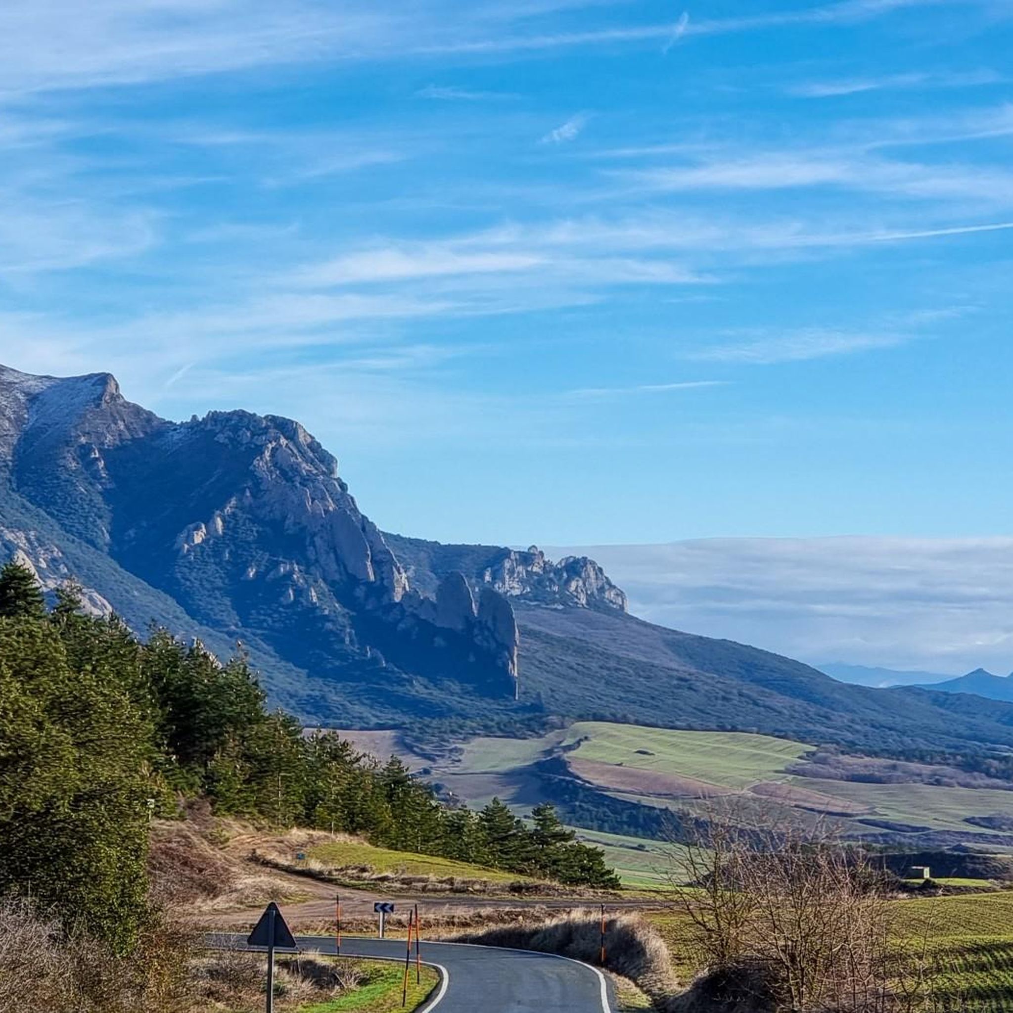
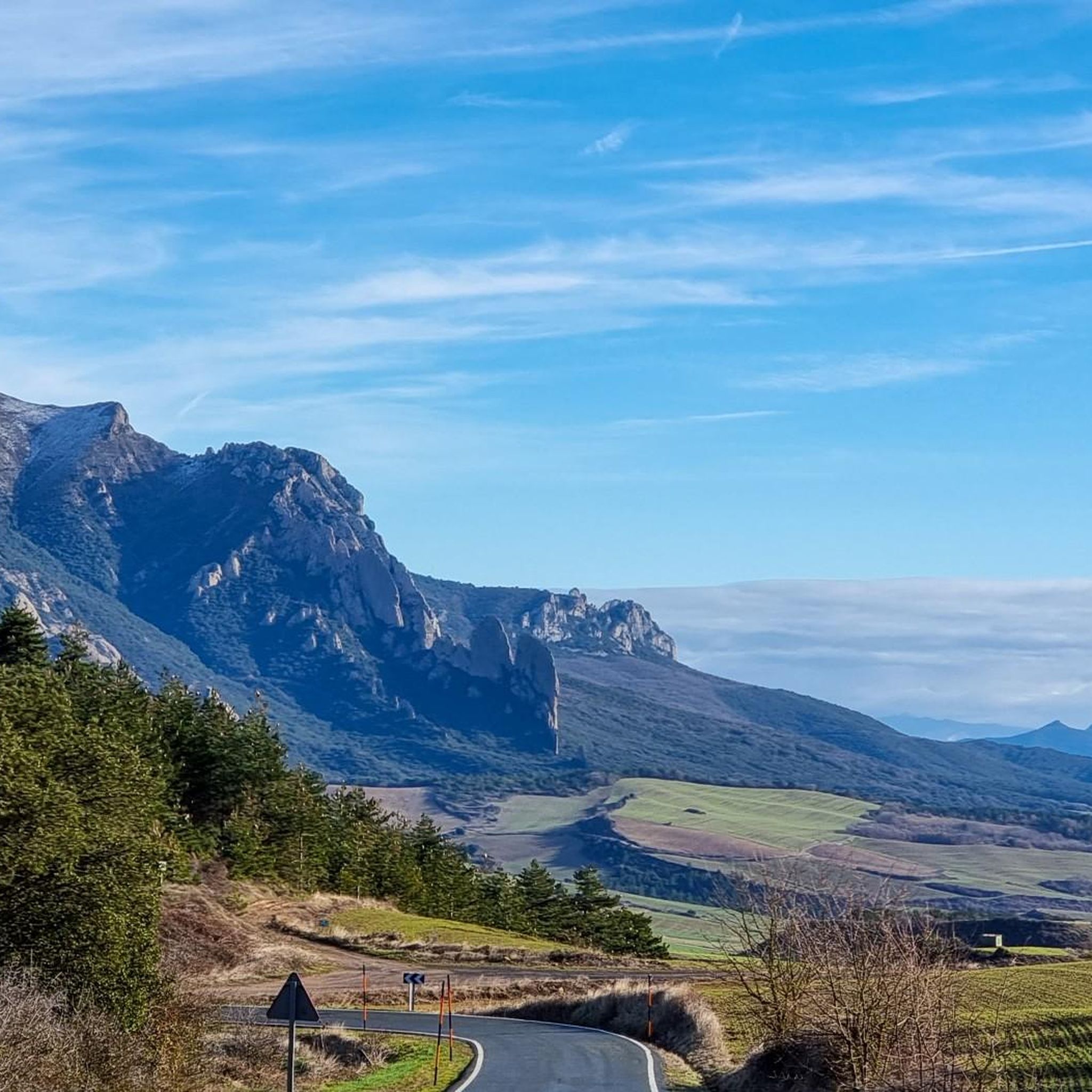
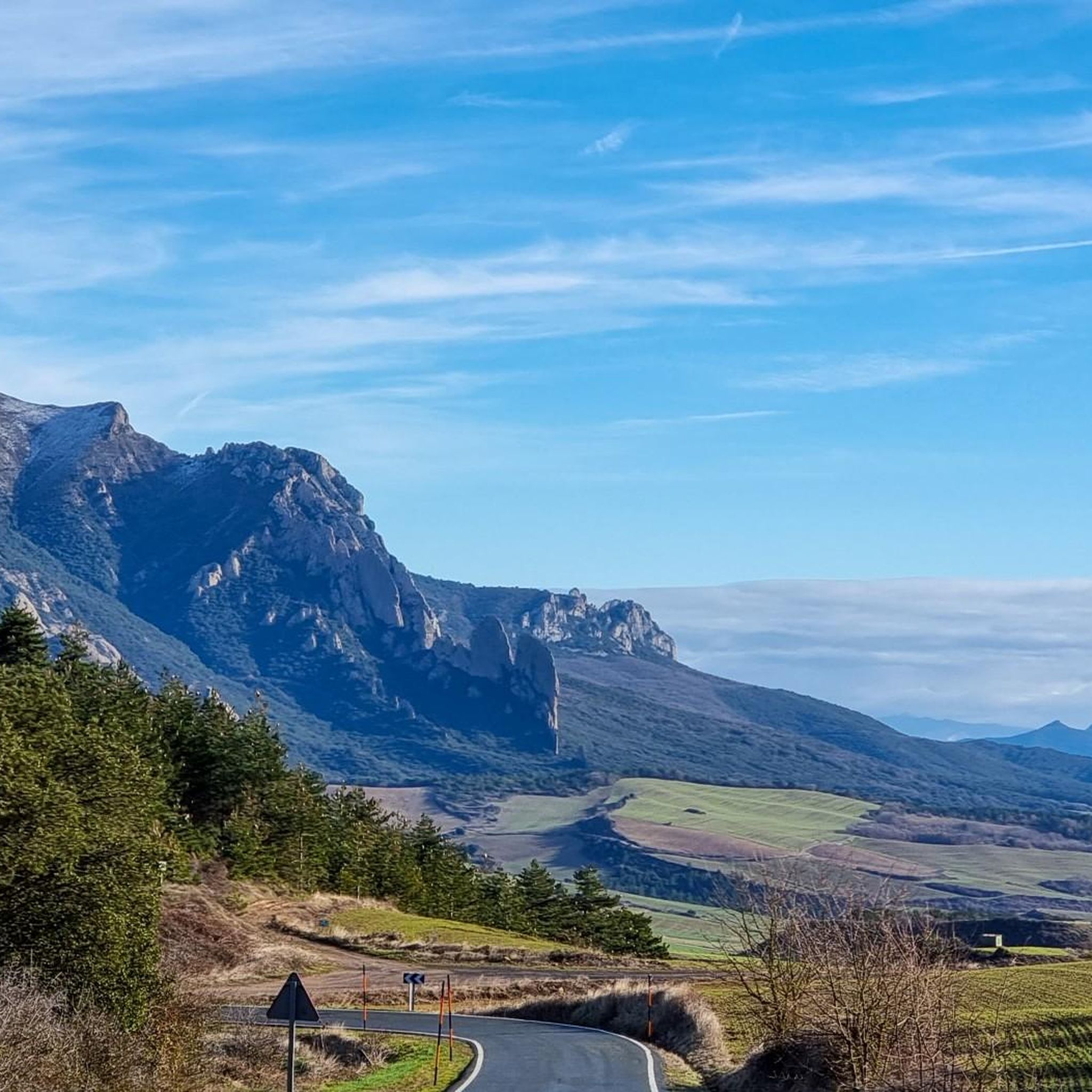
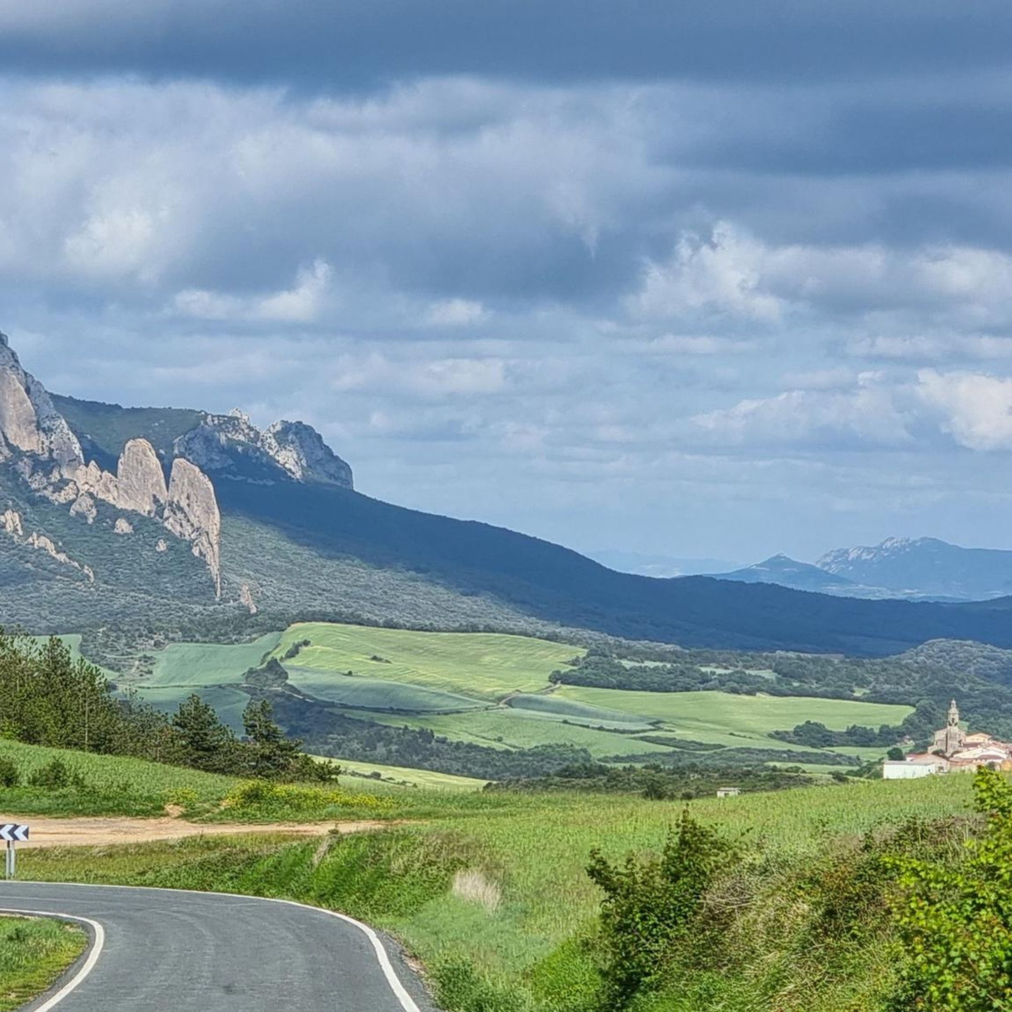
Tips from the Community

beautiful hermitage with a 2.5k climb at an average of 11%
1
0

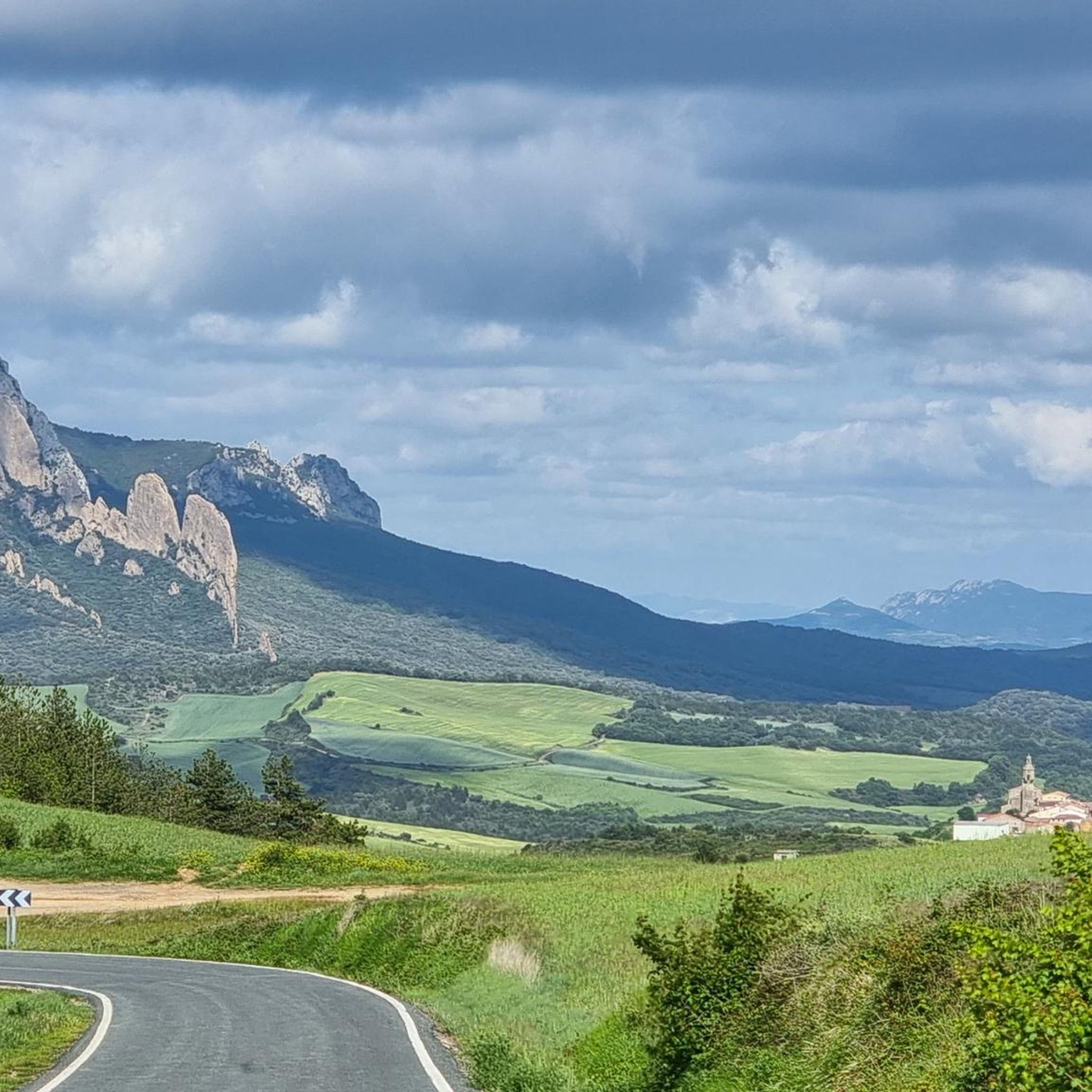
The Sanctuary of the Virgin of Codés is located at the foot of the mountain range. It is a splendid 16th-century building built on the remains of a hermitage. The Baroque tower dates from the 18th century. The holy water fountain is next to the arcades, and there is also a guesthouse and gardens for relaxing and passing the time. The route climbs to the left of the building to a parking lot where signs and signs display the hiking trails. The path continues along the GR-1 long-distance trail, the Historical Trail, to Santa Cruz de Campezo, on the Álava side of the mountain range. The path is quite steep through a tunnel of oak trees, some of which are centuries old and stand out in a disturbing way against the dense forest.
1
0

Shelter in a magnificent location. It's not in bad condition, but it needs some improvements to make it an excellent shelter.
0
0

Shelter with firewood and several other services.
0
0

One of the emblematic peaks of the area, a joy of views.
0
0
I advise reaching it from the south side, from Laguardia, in winter, and from the north side, from Lagrán, in the summer.
3
0

If you are interested in an "alpine" hike, you should definitely take the summit path from Puerto de Toro.
1
0

Characteristic summit of the Sierra de Toloña near Mount San Tirso. It is a steep peak that has the shape of a bishop's hat, from which the name comes.
1
0
Frequently Asked Questions
What kind of mountaineering routes can I expect in Marañón?
The Marañón region offers a diverse range of mountaineering experiences, characterized by deep canyons, steep valleys, and a dramatic transition from Andean highlands to tropical rainforests. You'll find routes traversing unique landscapes like the Marañón Dry Forests. The available routes include both moderate and difficult options, catering to different skill levels. For example, you could try the Peña de los Cencerros – Ioar loop from Torralba del Río for a moderate challenge, or the more demanding Bonete de San Tirso – San Tirso Peak (1,333 m) loop from Navarrete.
Are there circular mountaineering routes available in Marañón?
Yes, many of the mountaineering routes in Marañón are designed as circular loops, allowing you to start and end at the same point. Examples include the moderate Peña de los Cencerros – Ioar loop from Torralba del Río, which takes about 3 hours 32 minutes, or the more challenging La Plana – Ioar loop from Torralba del Río, typically completed in about 4 hours 14 minutes.
How long do mountaineering routes in Marañón typically take?
The duration of mountaineering routes in Marañón varies depending on their difficulty and length. Moderate routes, such as the Peña de los Cencerros – Ioar loop from Torralba del Río (6.6 km), can take around 3 hours 32 minutes. More difficult and longer routes, like the Bonete de San Tirso – San Tirso Peak (1,333 m) loop from Navarrete (13.2 km), might require over 5 hours to complete.
What natural features or attractions can I see along the mountaineering routes?
The Marañón region is rich in dramatic natural features. While mountaineering, you'll experience breathtaking scenery with deep gorges and canyons, some reaching depths of up to 3,000 meters. You might encounter unique dry forest ecosystems and dramatic Andean landscapes. Specific highlights in the broader region include summits like Joar Summit (1,414 m) and Bonete de San Tirso, as well as viewpoints such as the Izki Gorge Viewpoint.
Are there any ancient sites or cultural landmarks to explore near the mountaineering trails?
Yes, the Marañón region has a rich cultural heritage. While specific ancient sites directly on the listed mountaineering routes are not detailed, the broader area is known for opportunities to visit ancient rock art, ruins, and pre-Incan sites built into the mountainsides. You might also find historical landmarks like the Dolmen of the Witch's Hut.
When is the best time of year for mountaineering in Marañón?
The Marañón region experiences a transition from Andean highlands to tropical rainforests, including unique dry forest areas. While specific 'best times' for mountaineering aren't universally defined, the dry season typically offers more stable weather conditions for trekking. Given the presence of dry, desert-like terrain in the Marañón Dry Forests, avoiding the peak rainy season would generally be advisable for more comfortable and safer mountaineering.
Are there routes suitable for beginner mountaineers in Marañón?
While the Marañón region is known for its rugged and challenging terrain, there are routes suitable for those with moderate experience. For instance, the Peña de los Cencerros – Ioar loop from Torralba del Río is rated as moderate and could be a good starting point for those looking to gain experience in mountainous environments.
What about advanced mountaineering challenges in Marañón?
For experienced mountaineers seeking a challenge, Marañón offers several difficult routes. The Bonete de San Tirso – San Tirso Peak (1,333 m) loop from Navarrete is a demanding 13.2 km path with significant elevation gain, providing extensive views and a strenuous workout. Another difficult option is the La Plana – Ioar loop from Torralba del Río.
What kind of wildlife might I encounter while mountaineering in Marañón?
The Marañón Valley is a biodiversity hotspot with a high level of endemism, meaning many species are found nowhere else. While mountaineering, especially in the Marañón Dry Forests, you might encounter unique flora and fauna adapted to its distinct climate. This includes endemic bird species like the Marañón spinetail and potentially the yellow-tailed woolly monkey in certain areas, offering excellent opportunities for wildlife observation.
Is parking available near the trailheads, or can I use public transport?
Specific information regarding parking facilities or public transport access for individual trailheads in the Marañón region is not detailed in the route descriptions. Given the remote nature of some areas, it is advisable to research local transport options or parking availability for your chosen starting point in advance. Many mountaineering experiences in such regions often involve private transport or organized tours to reach trailheads.
Are there any waterfalls to see on these routes?
The broader Marañón region is known for its natural beauty, including cascading waterfalls and natural swimming holes. While the specific mountaineering routes listed do not explicitly mention waterfalls along their paths, expeditions in the wider area frequently include visits to impressive falls like the Gocta Waterfall. If you're interested in waterfalls, consider exploring other guides or local information for routes that specifically feature them.
Can I bring my dog on mountaineering routes in Marañón?
Regulations regarding dogs on mountaineering routes can vary by specific location and protected areas within the Marañón region. It is always best to check local guidelines or park rules for the particular trail you plan to hike. Generally, if dogs are permitted, they should be kept on a leash to protect local wildlife and ensure the safety and comfort of other hikers.
Most popular routes around Marañón
Most popular attractions around Marañón

Get inspired with the komoot mobile app


Explore more
Browse the best Mountain Hikes & Routes in other regions.
