The 11 Most Amazing Peaks around Rechberghausen
Best mountain peaks around Rechberghausen are situated in the foothills of the central Swabian Jura in Germany. This region features prominent hills and mountains that offer recreational opportunities and panoramic vistas. The municipality itself ranges from 320 to 400 meters in elevation, with surrounding peaks providing higher viewpoints. These locations are valued for their scenic beauty, historical significance, and opportunities for hiking and enjoying nature.
Best mountain peaks around Rechberghausen
- The most popular mountain peaks is Hohenstaufen Castle Ruins and…
Last updated: October 10, 2026
Hohenstaufen Castle Ruins and Viewpoint
Highlight • Castle
Translated by Google •
Tip by

Pilgrimage Church of St. Mary on Hohenrechberg
Highlight • Religious Site
Translated by Google •
Tip by

Sign up now to discover places like this
Get recommendations on the best single tracks, peaks, & plenty of other exciting outdoor places.
View of Rechberg
Highlight • Viewpoint
Translated by Google •
Tip by

Hohberg Summit (498 m)
Highlight • Summit
Translated by Google •
Tip by

View of Hohenstaufen
Highlight • Viewpoint
Translated by Google •
Tip by

Sign up for free to discover even more peaks around Rechberghausen.
Already have an account?
Start today with a free account
Your next adventure awaits.
Popular around Rechberghausen
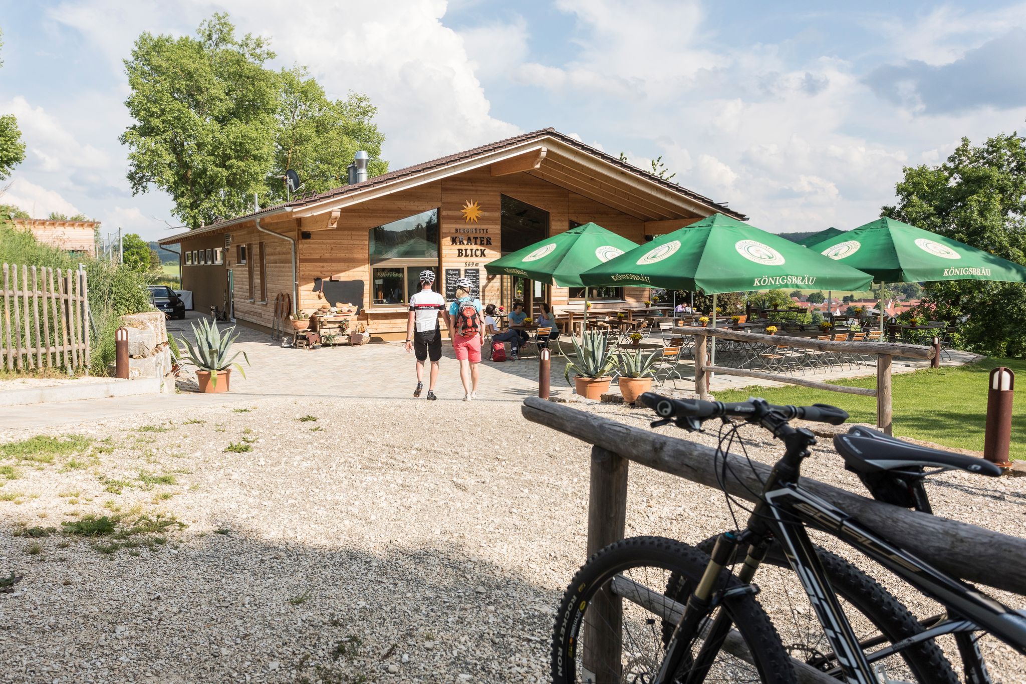
Cycling with all your senses on the Swabian Alb
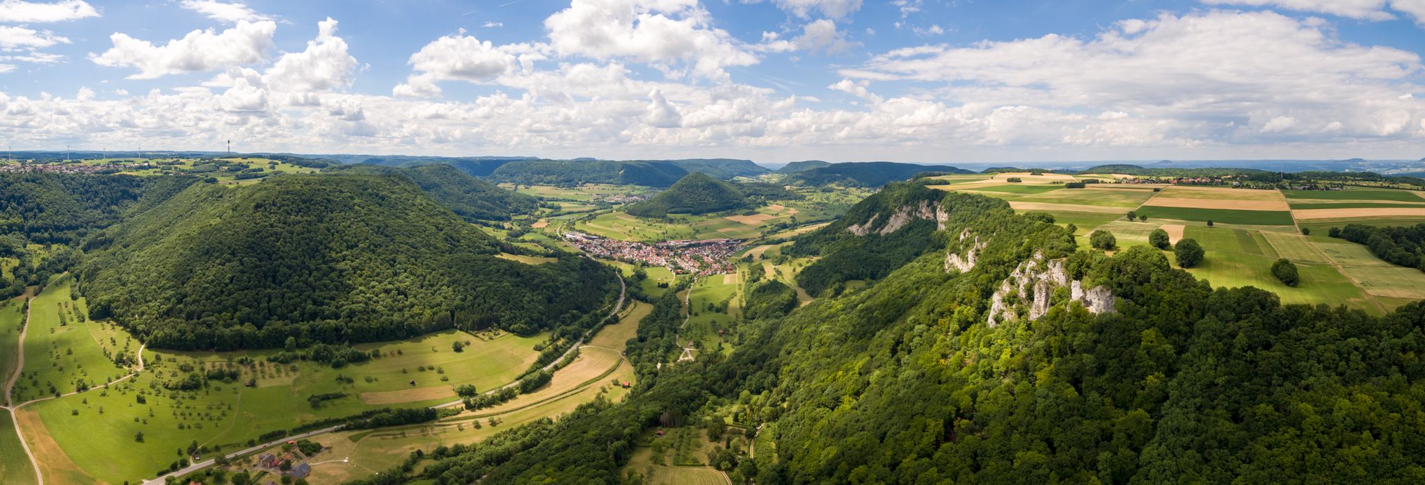
A view over the Swabian Alb – bike Tours around Göppingen
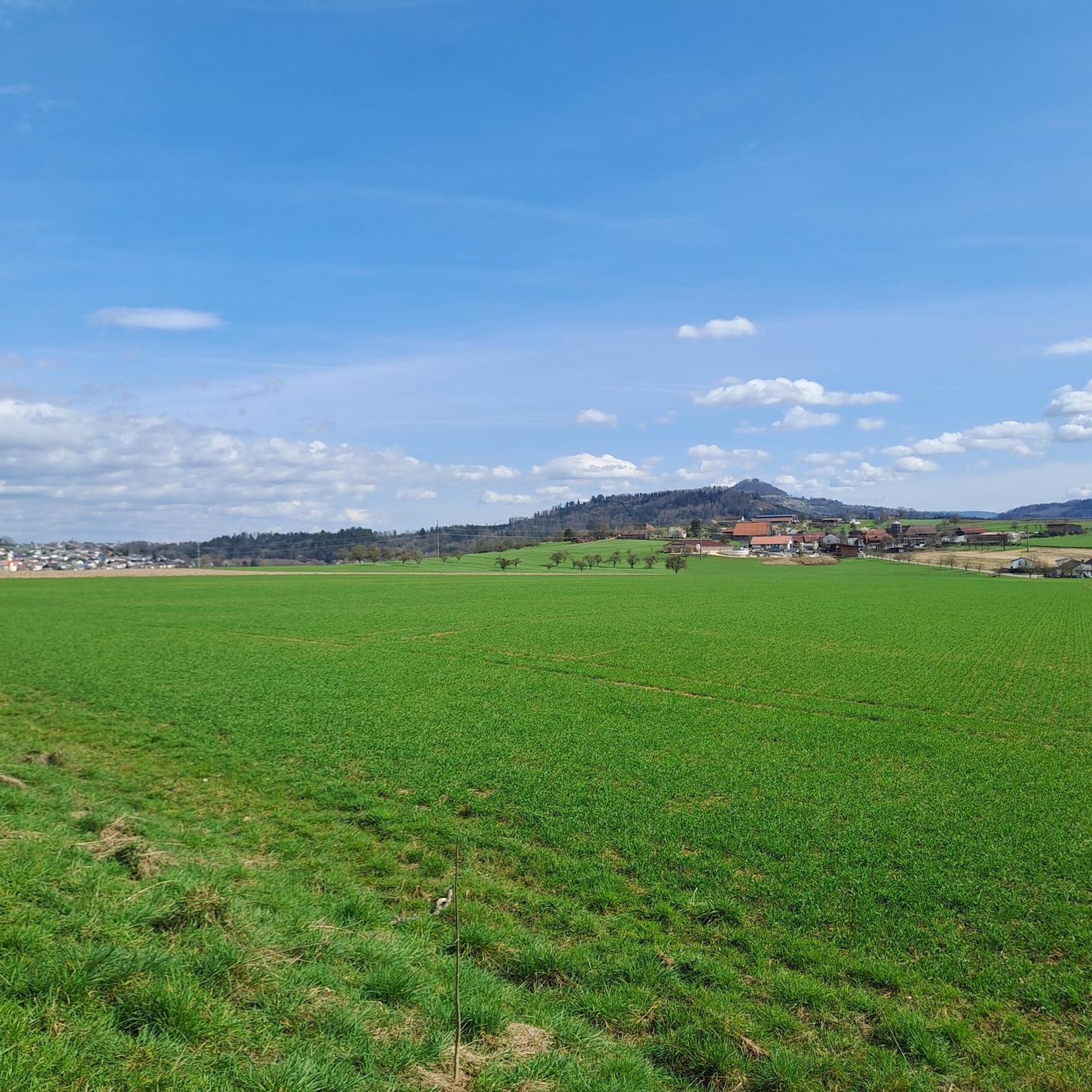
Road Cycling Routes around Rechberghausen
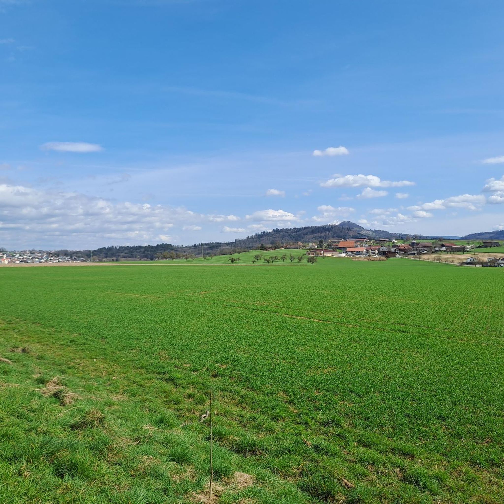
Cycling around Rechberghausen
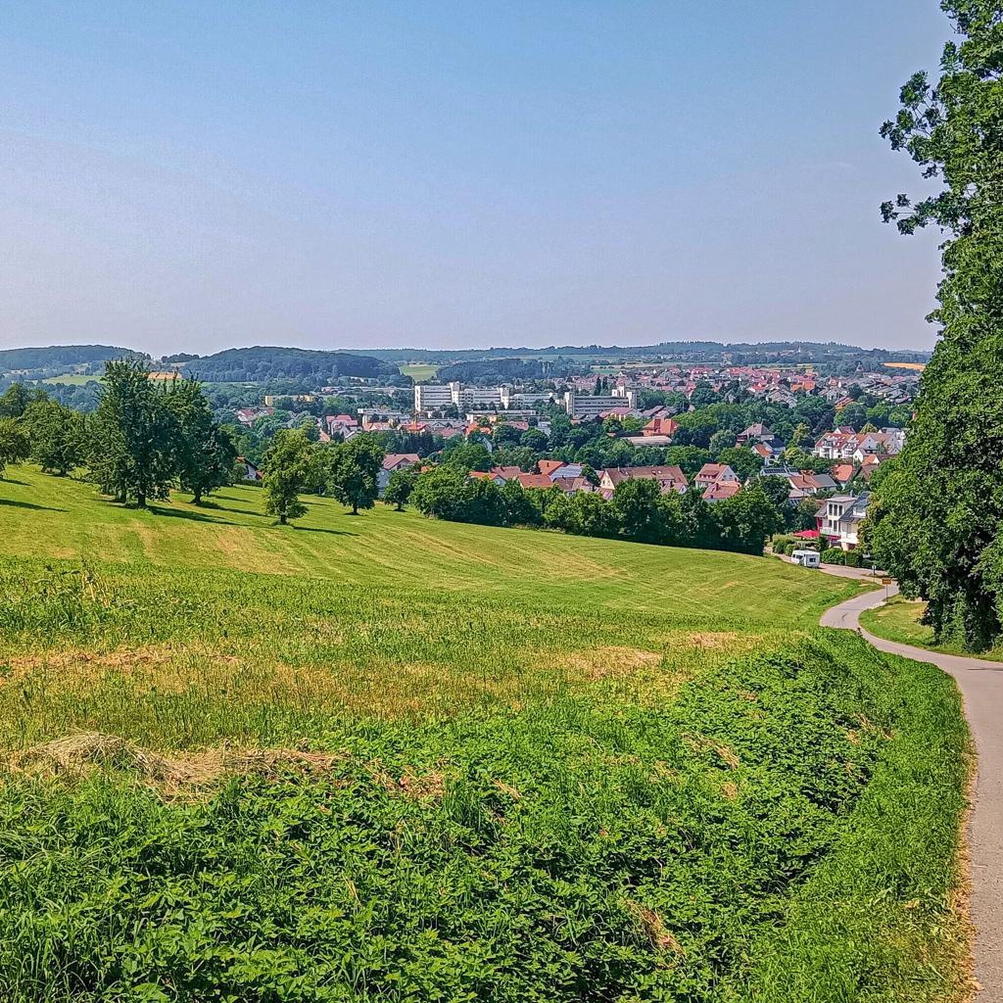
Hiking around Rechberghausen
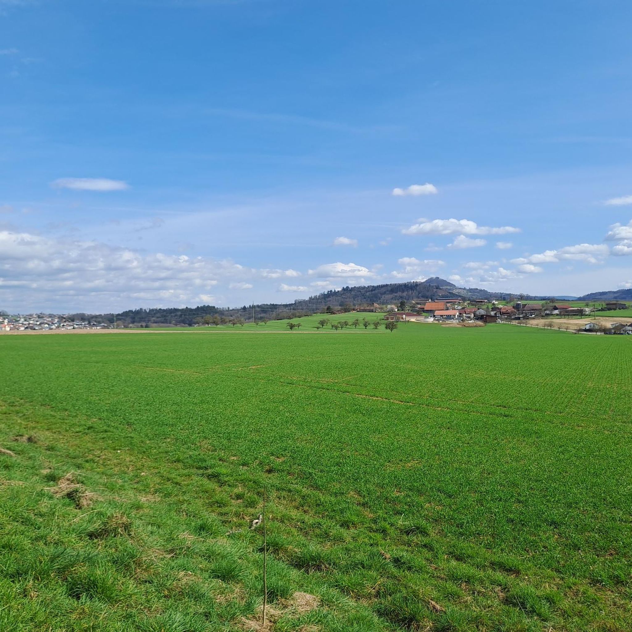
MTB Trails around Rechberghausen
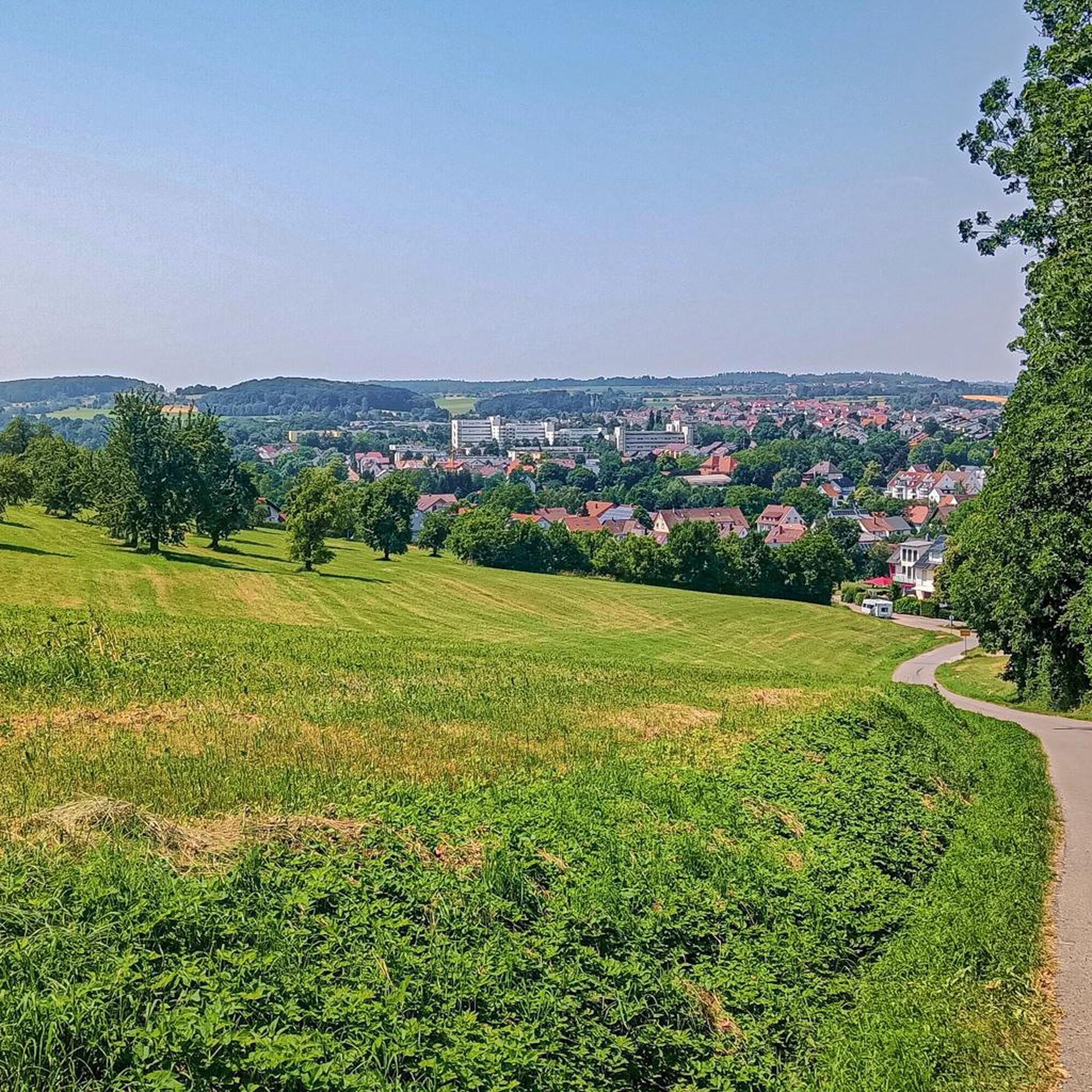
Running Trails around Rechberghausen

Gravel biking around Rechberghausen

Tips from the Community

The Hohe Rechberg from the back, otherwise I always see it from the south.
4
0

A great route from the Hölltal in Schwäisch Gmünd up via Metlangen and then the Rechberg to the Schurrenhof with great views.
2
0

Great panorama. Great route with ups and downs
1
0

The railway line is great to drive with many such views
4
0

Very nice to ride the bike 🚴🏿 ♀️ great hm you can do it
1
0

The 498 meter high Hohberg does not offer a view, but at its highest point there is a hut and a summit cross.
1
0

The Hohenstaufen is a 684 m above sea level. NHN[1] high witness mountain near Göppingen in front of the Swabian Jura. Its cone is visible from afar and is a striking element of the landscape silhouette around Göppingen. In addition to the Stuifen and the Rechberg, the Hohenstaufen is the westernmost of the three Kaiserberge mountains, which are close together and lie between the Rems valley in the north and the Lauter and Fils valleys in the south. The part of the name staufen corresponds to the old name Stauf for a pointed, cone-shaped mountain (derived from the West Germanic adjective *staupa- meaning "steep").[2] On the mountain are the ruins of the ancestral castle of the Staufer noble family, the former Hohenstaufen Castle. A panel on the summit explains the panorama. Since June 1, 2002, a Staufer stele has stood on the mountain to commemorate the Staufer period.[3] There is also a small excursion restaurant. The summit can only be reached on foot, the shortest way from the Göppingen district of Hohenstaufen. On the south-west slope is the so-called Spielburg, a group of limestone rocks that have slipped from the White Jura rocks.
1
0
Frequently Asked Questions
What are the most prominent mountain peaks around Rechberghausen?
The region around Rechberghausen features several noteworthy peaks. Among the most popular are the Hohenstaufen Castle Ruins and Viewpoint, known for its historical significance and panoramic views. Another significant peak is the Pilgrimage Church of St. Mary on Hohenrechberg, which offers both spiritual and scenic appeal. The Hohberg Summit (498 m) is also a local point of interest, featuring a hut and summit cross.
Are there historical sites to explore on the mountain peaks near Rechberghausen?
Yes, history is a significant part of the experience. The Hohenstaufen Castle Ruins sit atop a 'witness mountain' that was once the headquarters of the influential Hohenstaufen family, with settlements dating back to the Middle Ages. The Pilgrimage Church of St. Mary on Hohenrechberg is a baroque church that served as a pilgrimage site for the Counts of Rechberg and remains a popular destination today.
What kind of views can I expect from the peaks around Rechberghausen?
The peaks offer magnificent panoramic views of the surrounding landscape. From the Hohenstaufen Castle Ruins, you can enjoy a beautiful all-round view, often extending over the Filstal and the Swabian Alb as far as Stuttgart. The Pilgrimage Church of St. Mary on Hohenrechberg also provides a fantastic vista of the area, including the Remstal valley towards Gmünd.
Are there family-friendly hiking options on the mountain peaks?
While specific 'family-friendly' categories aren't always assigned, many paths leading to these peaks are accessible for families. For instance, the paved path to the Pilgrimage Church of St. Mary on Hohenrechberg from the town of Rechberg is considered an easier ascent. Always check the difficulty of specific routes, but the scenic beauty and historical elements can make these destinations engaging for all ages.
Can I bring my dog on the trails around Rechberghausen's peaks?
Generally, trails in the region are dog-friendly, allowing you to enjoy the outdoors with your canine companion. However, it's always advisable to keep dogs on a leash, especially near historical sites, wildlife, or other visitors. Specific restrictions might apply in certain areas or inside buildings like churches or restaurants.
What outdoor activities, besides hiking, are available near these mountain peaks?
Beyond hiking, the area around Rechberghausen is excellent for various outdoor activities. You can explore numerous cycling routes, including gravel biking and road cycling. There are also many other hiking routes that explore the diverse landscapes, from forest trails to reservoir loops.
When is the best time of year to hike the mountain peaks around Rechberghausen?
The peaks around Rechberghausen are enjoyable throughout much of the year. Spring and autumn offer pleasant temperatures and beautiful scenery, with blooming flowers or vibrant fall foliage. Summer is also popular, though it can be warmer. Winter hiking is possible, but be prepared for potentially snowy or icy conditions, especially on higher elevations or steeper paths.
Are there places to eat or refresh near the mountain peaks?
Yes, you'll find options for refreshments. Near the Hohenstaufen Castle Ruins, there is a small restaurant, 'Himmel & Erde,' offering regional cuisine. On the Hohenrechberg Summit, next to the pilgrimage church, an inn with a terrace provides an opportunity to relax and enjoy the view with food and drinks.
How accessible are the mountain peaks by public transport or car?
While some peaks are best reached on foot or by bike, others offer more direct access. For example, the Hohenstaufen Castle Ruins are accessible on foot or by bike. For the Pilgrimage Church of St. Mary on Hohenrechberg, there are several ways to reach it, with a paved path from the town of Rechberg being an easier option. Parking is generally available at the base of popular trails, but it's always good to check local information for specific parking areas.
What do visitors enjoy most about the mountain peaks in the Rechberghausen area?
Visitors consistently praise the stunning panoramic views, especially from locations like the Hohenstaufen Summit. The rich historical significance of sites like the Hohenstaufen Castle Ruins and the Pilgrimage Church of St. Mary on Hohenrechberg also captivates many. The opportunity to combine hiking with cultural exploration and enjoy local hospitality at mountain restaurants adds to the overall appeal.
Are there any unique features on the Hohberg Summit?
The Hohberg Summit (498 m) features a hut and a summit cross. Inside the hut, visitors can find a folder with pictures and documents about its construction, offering a glimpse into its local history, and also sign a summit book, which is a cherished local tradition for hikers.
Most popular routes around Rechberghausen
Most popular attractions around Rechberghausen

Get inspired with the komoot mobile app


Explore more
See even more amazing summits around Rechberghausen with these guides:
