The best mountain hikes around Cazenave-Serres-Et-Allens
5.0
(2)
17
hikers
3
hikes
Mountaineering routes around Cazenave-Serres-Et-Allens are situated within the Ariège department of the French Pyrenees, offering a dramatic mountainous landscape. The region is characterized by its high peaks, including Mont Fourcat at 2,001 meters, and features deep valleys, extensive forests, and diverse geological formations. This area provides challenging terrain for experienced mountaineers, with significant elevation gains and panoramic views of the surrounding massifs.
Best mountaineering routes around Cazenave-Serres-Et-Allens
- The most popular mountaineering route is Étang de Moulzoune – Étang du Diable…
Last updated: October 16, 2026
10
hikers
11.0km
05:32
900m
910m
Hard mountaineering route. Very good fitness required. Sure-footedness, sturdy shoes and alpine experience required.
2
hikers
14.1km
04:31
560m
560m
Moderate mountaineering route. Good fitness required. Easily walkable paths.

5.0
(1)
4
hikers
12.5km
05:42
940m
940m
Hard mountaineering route. Very good fitness required. Sure-footedness, sturdy shoes and alpine experience required.
5.0
(1)
1
hikers
Moderate mountaineering route. Good fitness required. Mostly walkable paths. Sure-footedness required.
Our route recommendations are based on thousands of hikes, rides, and runs completed by other people on komoot.
Start today with a free account
Your next adventure awaits.
Popular around Cazenave-Serres-Et-Allens
Tips from the Community

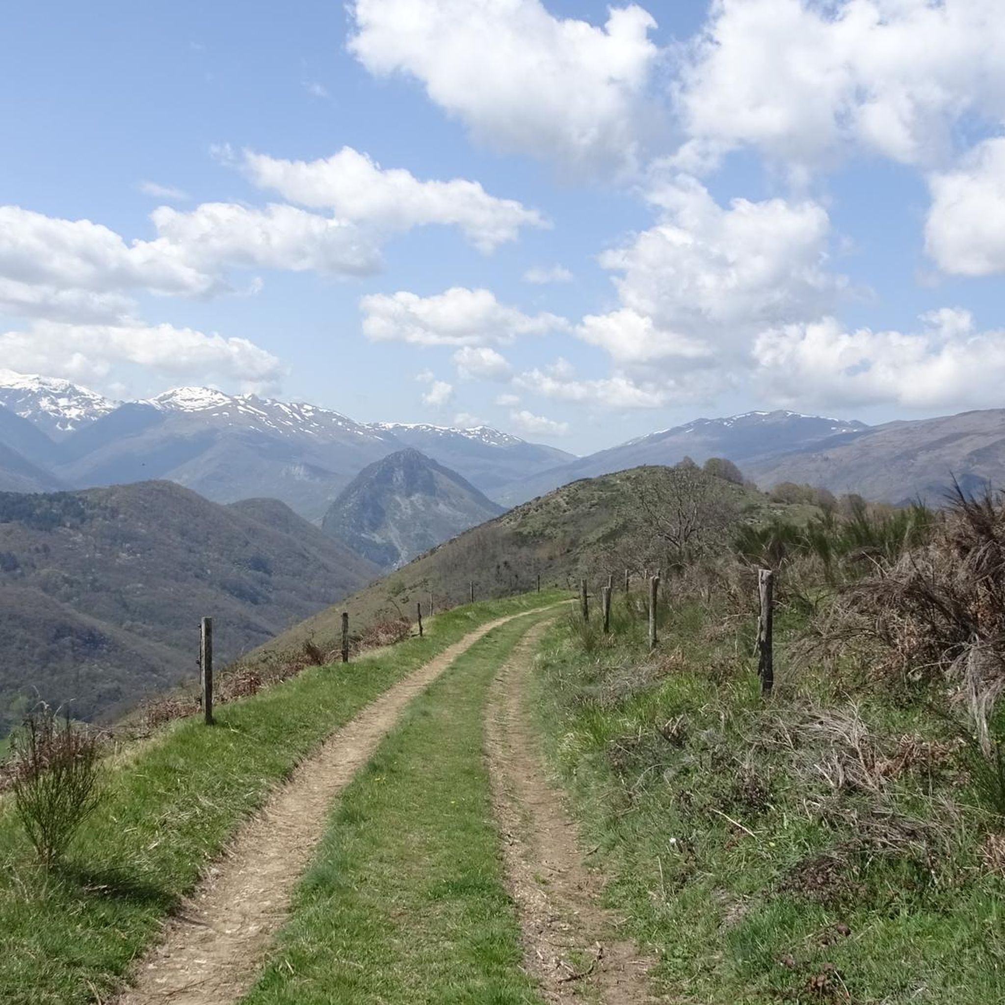
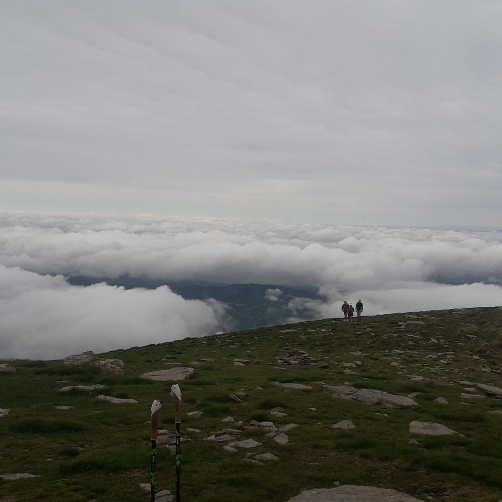
A must-see in Ariège that you should do at least once in your life. The view of the various mountain ranges is splendid.
0
0

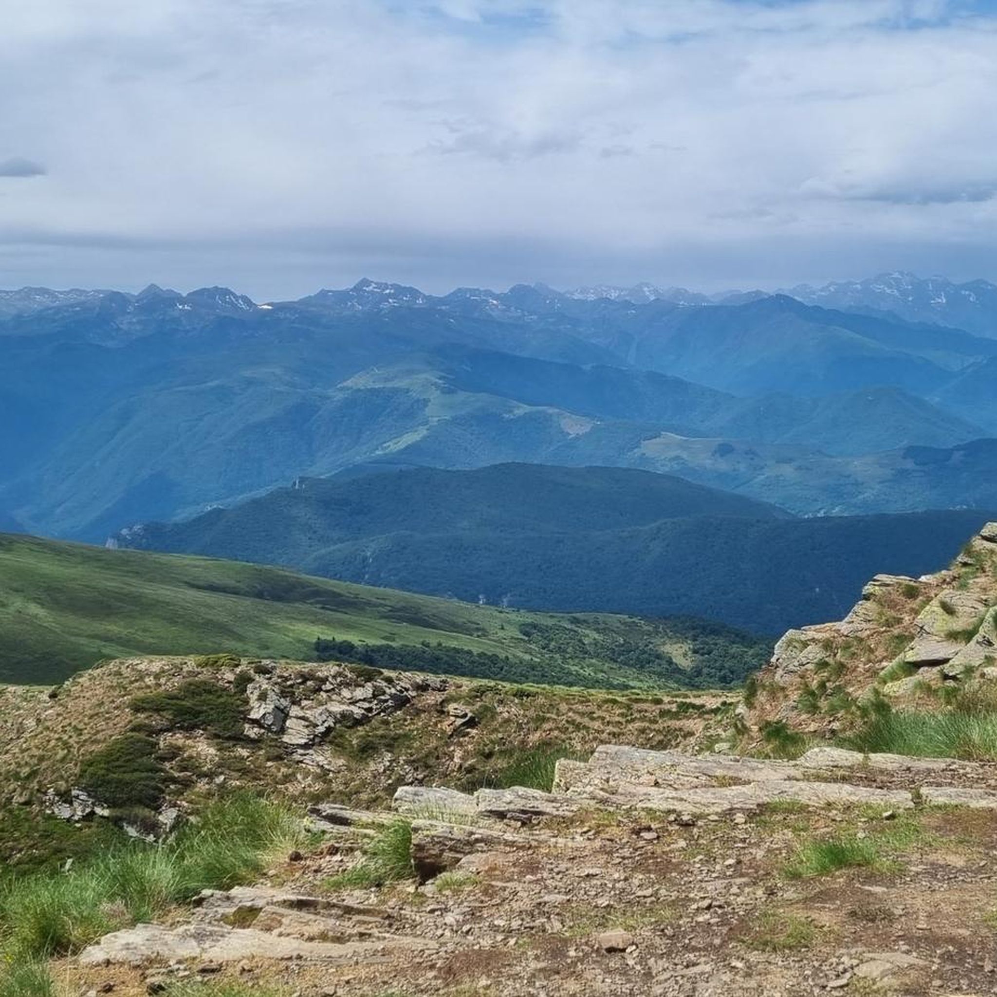
Be careful, expert route but what a view
0
0


Beautiful town with idyllic river views.
0
0

The peak of Saint-Barthélemy in the Tabe massif culminates at 2,348 m and offers a magnificent view of the massif.
0
0
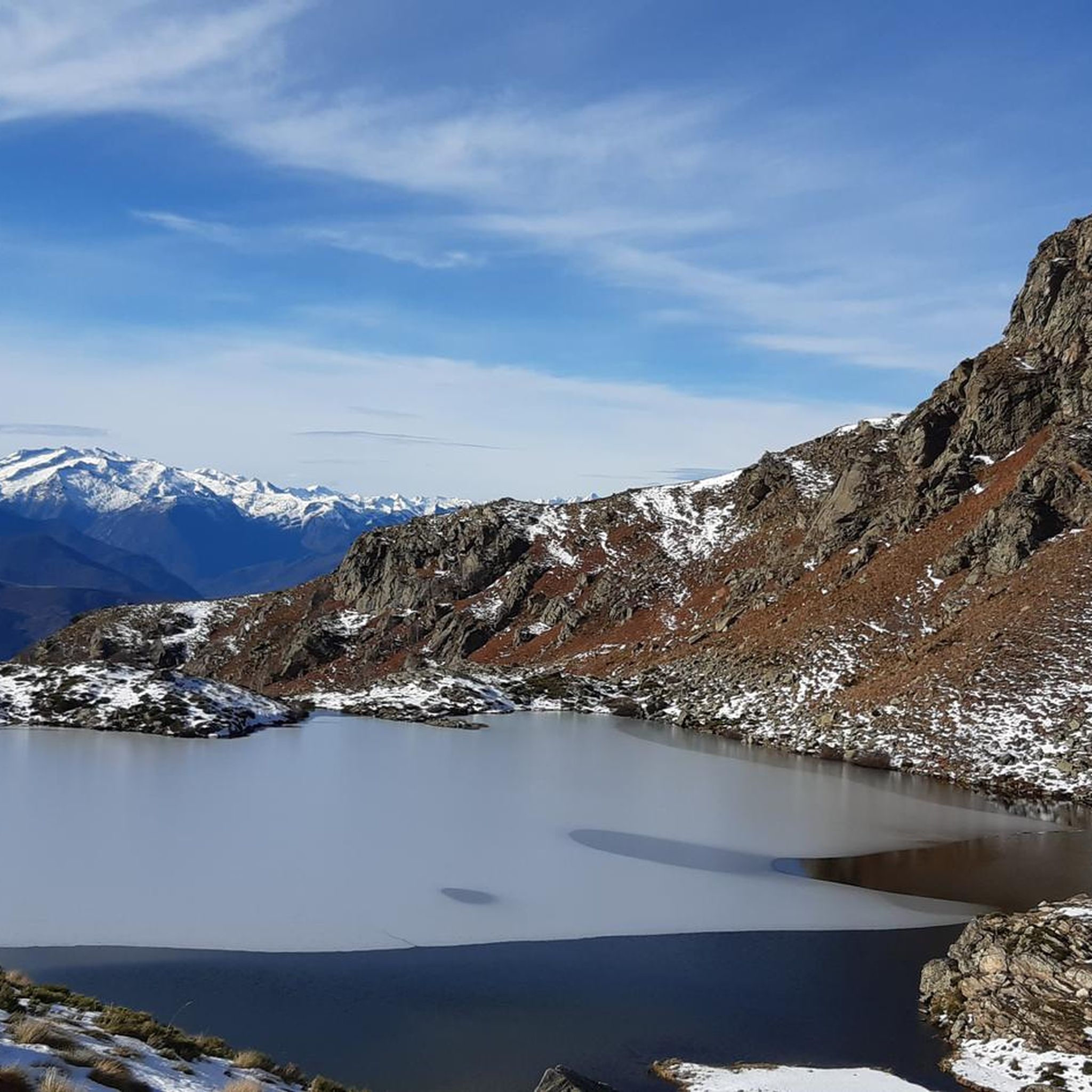
Located at 1734 meters in the Tabe massif, the Appy pond allows you to admire the Ariège mountains.
0
1

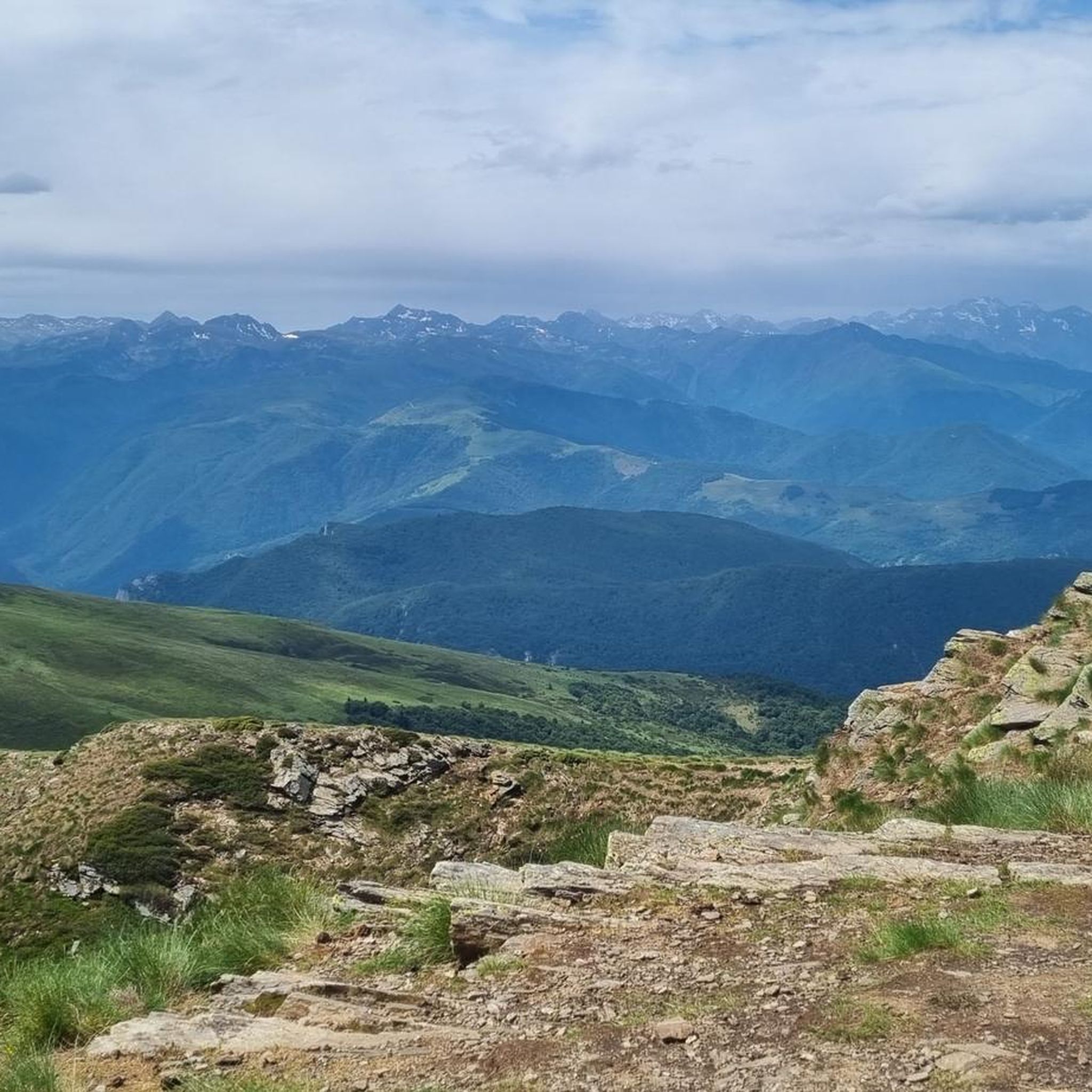
The view of the mountains is awesome :)
1
0
Can be windy even in summer. Bring windstoppers
1
0
Frequently Asked Questions
What kind of mountaineering challenges can I expect around Cazenave-Serres-Et-Allens?
The routes around Cazenave-Serres-Et-Allens are primarily challenging, with 4 out of 5 listed tours rated as difficult. You'll encounter significant elevation gains and rugged terrain, typical of the Pyrenean environment. For example, the Mont Fourcat loop from Arnave involves over 1000 meters of ascent over 12.4 km, leading to the prominent Mont Fourcat summit.
Are there any easier mountaineering options for beginners in the area?
While most routes are rated difficult, there is one moderate option available: the Notre-Dame de Sabart Chapel – Tarascon-sur-Ariège loop from Tarascon-sur-Ariège. This 14.4 km route still features over 500 meters of elevation gain, offering a good challenge for those looking to build experience without tackling the most strenuous ascents.
What are the best viewpoints or landmarks to look out for on these routes?
The region offers spectacular panoramic views. Many routes, such as the Mont Fourcat loop from Arnave, ascend to the summit of Mont Fourcat, providing impressive 360-degree vistas of the Ariège Pyrenees, including the Montcalm and Bassiès Massifs. You can also find other notable peaks like Saint-Barthélemy Peak and various viewpoints such as the View of the Ariège Mountains from Clot de la Carbonnière.
Can I find circular mountaineering routes around Cazenave-Serres-Et-Allens?
Yes, several of the mountaineering routes in the area are circular, allowing you to start and end at the same point. Examples include the challenging Étang de Moulzoune – Étang du Diable loop from SN 1678, the Mont Fourcat loop from Arnave, and the Mont d'Olmes loop from Les Monts d'Olmes.
What kind of wildlife might I encounter while mountaineering here?
The Ariège Pyrenees Regional Natural Park is rich in biodiversity. During your mountaineering trips, you might spot chamois in steeper areas, and observe large birds of prey like Golden Eagles, Bearded Vultures, and Griffon Vultures soaring overhead. Forested sections could reveal roe deer, foxes, and wild boars, while higher elevations are home to ermine and rock ptarmigan.
Is the area suitable for winter mountaineering?
The Pyrenees are known for their snow-capped peaks, and the region offers opportunities for winter mountaineering. However, these conditions often require specialized gear such as crampons and ropes, and it's advisable to consult local guides for current conditions and safety advice. The 'Abri du Mont Fourcat' offers a potential refuge for longer excursions in challenging weather.
What do other mountaineers say about the routes in Cazenave-Serres-Et-Allens?
The mountaineering routes around Cazenave-Serres-Et-Allens are highly rated by the komoot community, with an average score of 4.75 stars from 4 reviews. Mountaineers often praise the challenging ascents, the dramatic mountainous landscapes, and the extensive views of the Ariège Pyrenees.
Are there any specific geological features to observe in the region?
Yes, the Pyrenees are geologically complex. The region around Cazenave-Serres-Et-Allens, being part of the Axial Zone, features ancient rocks over 500 million years old. You can observe significant geological structures, including giant quartz veins, which contribute to the varied and dramatic terrain you'll traverse on the mountaineering routes.
What is the best time of year to go mountaineering in Cazenave-Serres-Et-Allens?
While the specific 'best' time depends on your preference for snow or clear trails, generally late spring to early autumn (May to October) offers the most favorable conditions for mountaineering in the Pyrenees, with less snow at higher altitudes and more stable weather. Always check local weather forecasts before heading out.
Are there any other challenging routes besides Mont Fourcat?
Absolutely. Beyond Mont Fourcat, you can explore other demanding trails like the Mont d'Olmes – Cadène Pass loop from Les Monts d'Olmes. This route covers 12.8 km with nearly 940 meters of elevation gain, offering another significant challenge for experienced mountaineers.
What kind of natural environment defines the mountaineering experience here?
The mountaineering experience in Cazenave-Serres-Et-Allens is defined by its dramatic mountain climate and location within the upper Ariège valley. You'll traverse a landscape of high Pyrenean peaks, deep valleys, and extensive forests, particularly ancient beech forests, all within the protected and biodiverse Ariège Pyrenees Regional Natural Park.
Most popular routes around Cazenave-Serres-Et-Allens
Most popular attractions around Cazenave-Serres-Et-Allens

Get inspired with the komoot mobile app


Explore more
Browse the best Mountain Hikes & Routes in other regions.
