The best mountain hikes around Saurat
5.0
(2)
7
hikers
3
hikes
Mountaineering routes around Saurat are set within the Sauratown Mountains, a region characterized by diverse landscapes. The area features extensive trail systems, notable rock climbing opportunities, and varied terrain including rural farms, streams, and small waterfalls. Hikers and climbers can explore forested areas and encounter large boulders, some with shallow caves, providing a range of physical features for outdoor activities.
Best mountaineering routes around Saurat
- The most popular mountaineering route is Pic des Trois Seigneurs loop from Port de Lers…
Last updated: October 30, 2026
5.0
(1)
4
hikers
14.6km
07:13
1,160m
1,160m
Hard mountaineering route. Very good fitness required. Sure-footedness, sturdy shoes and alpine experience required.
2
hikers
14.1km
04:31
560m
560m
Moderate mountaineering route. Good fitness required. Easily walkable paths.

5.0
(1)
1
hikers
Moderate mountaineering route. Good fitness required. Mostly walkable paths. Sure-footedness required.
Our route recommendations are based on thousands of hikes, rides, and runs completed by other people on komoot.
Start today with a free account
Your next adventure awaits.
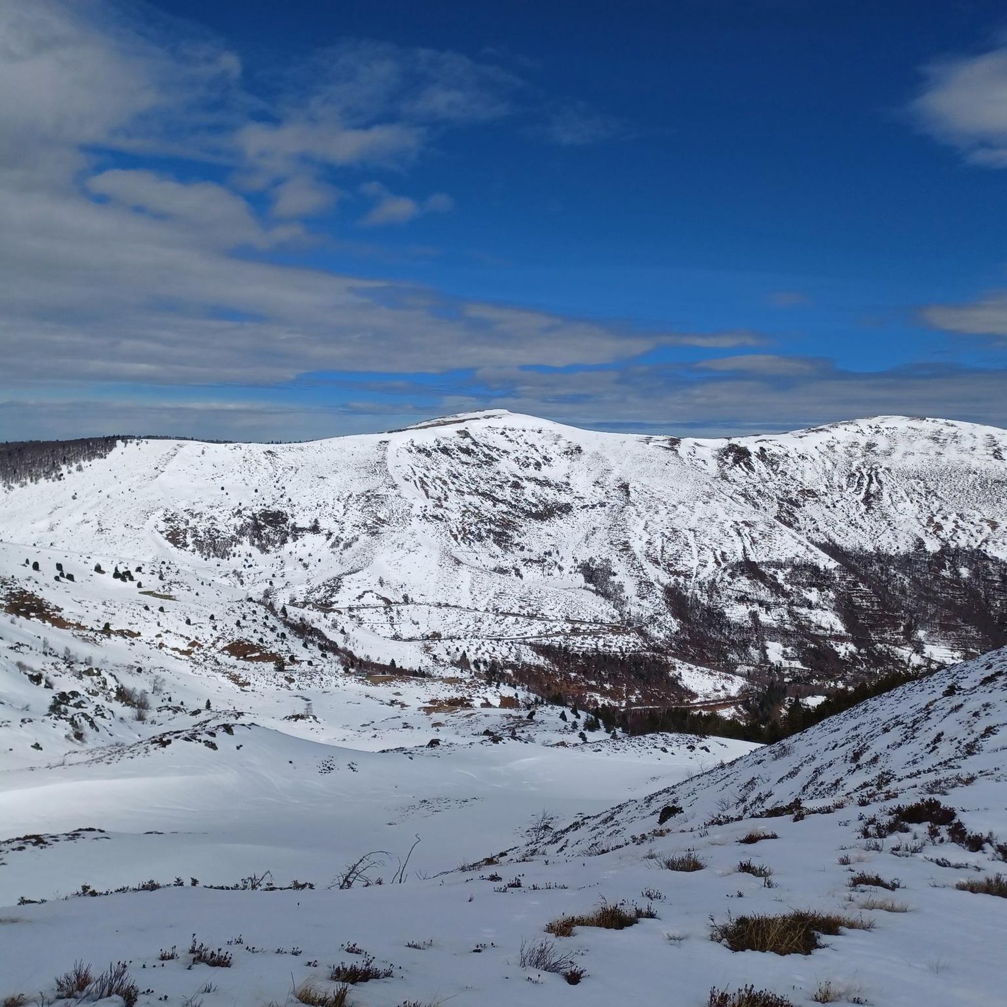
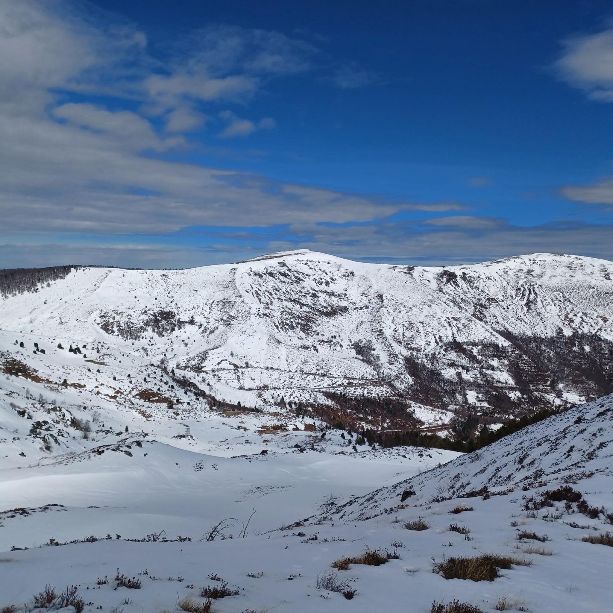
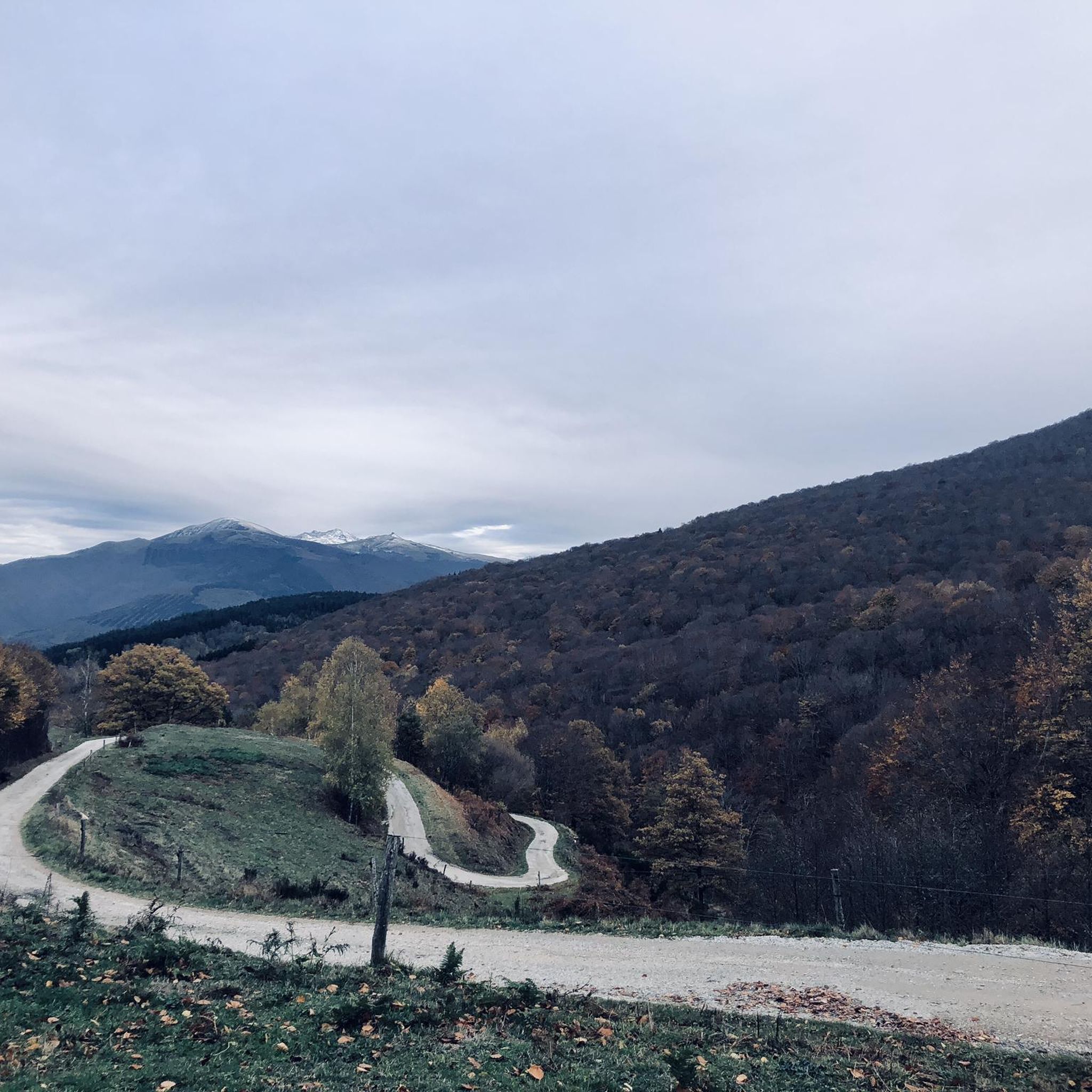
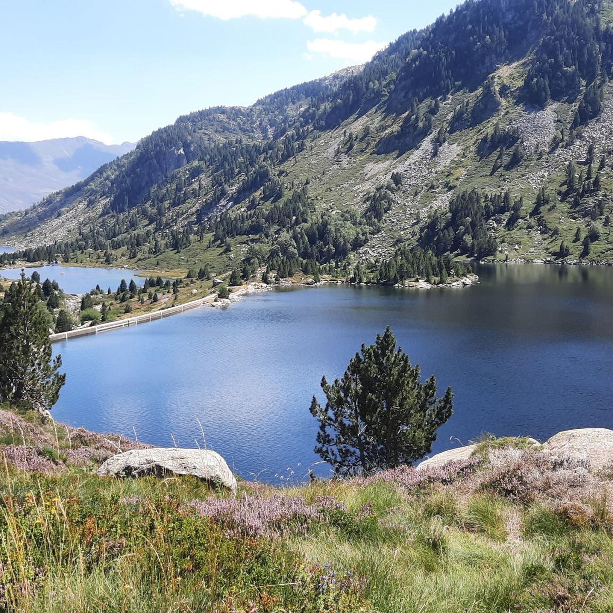
Tips from the Community


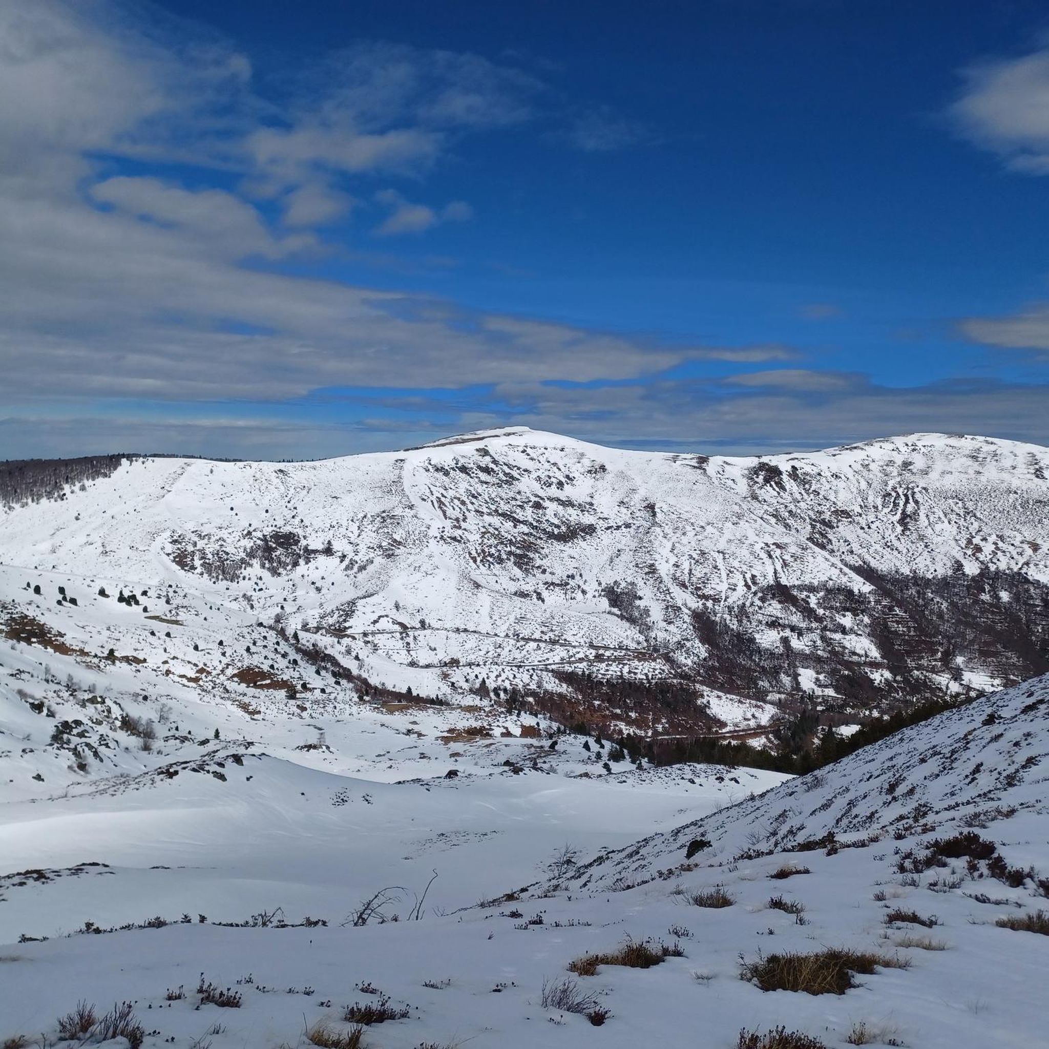
A magnificent peak, accessible to any experienced hiker. However, you must be careful to wait until the snow has completely melted before making the ascent.
2
0

Climb made by the Col de la Pourtanelle quite physical up to the Pic des Trois Seigneurs
1
1

Beautiful town with idyllic river views.
0
0

A peak that rises to 2,199 meters above sea level and offers a magnificent view of the Pyrenees.
2
0

The view of the mountains is awesome :)
1
0

Requires good physical condition and good shoes, some steep sections but not exposed.
1
1

(not too blue in this season ;-)) 40 minutes from the Blue Pond, towards the Pic des Trois Seigneurs (almost the same, the same view, no need to go that far).
2
0
Frequently Asked Questions
How many mountaineering routes are available in Saurat?
There are 7 mountaineering routes around Saurat, offering a range of challenges for outdoor enthusiasts.
Are there mountaineering routes suitable for beginners in Saurat?
The mountaineering routes in Saurat are generally challenging. There are 3 moderate routes and 4 difficult routes, so beginners should choose carefully and be prepared for significant elevation changes. We recommend reviewing the route details thoroughly before setting out.
Are there any circular mountaineering routes in Saurat?
Yes, several routes are circular. For example, the Pic des Trois Seigneurs loop from Port de Lers is a difficult 6.3-mile loop, and the Étang d'Artax – Roc de Querquéou loop from Gourbit is a difficult 7.5-mile option. Another is the Embans Circus loop from Parking du Ressec, which is 6.1 miles.
What kind of natural features and landmarks can I expect to see along the mountaineering routes in Saurat?
The Saurat region is characterized by diverse landscapes, including forested areas, streams, and large boulders. You can also find notable mountain passes such as Agnès Pass and Lers Pass. Summits like Three Lords' Peak offer panoramic views.
What do other mountaineers enjoy most about the routes in Saurat?
The mountaineering routes in Saurat are highly rated by the komoot community, with an average score of 4.5 stars from more than 10 reviews. Mountaineers often praise the challenging terrain, significant elevation gains, and the rewarding panoramic views of the surrounding peaks and valleys.
What is the best time of year for mountaineering in Saurat?
While the region offers year-round outdoor activities, the Sauratown Mountains are particularly recognized for winter cragging and rock climbing opportunities, which are typically open from December 1st to March 31st. For general mountaineering, consider the season that best suits your preferred weather conditions and trail accessibility.
Are there any routes that offer significant elevation gain for a challenging experience?
Absolutely. Many routes in Saurat feature substantial climbs. For instance, the Pic des Trois Seigneurs loop from Parking du Ressec involves over 1150 meters of elevation gain, making it a demanding option for experienced mountaineers. The Mont Fourcat loop from Arnave also offers over 1000 meters of ascent.
Are there any specific rock climbing areas or routes mentioned in the Saurat region?
Yes, Sauratown is known for its rock climbing, with areas like Monkey Buttress and The Meadows. Climbing routes range from 5.6 to 5.12, catering to both sport and traditional climbing. Specific routes like 'Skin Toy' (5.11b) and 'Sour Balls' (5.11a) are highlighted for their quality and challenge. Access to climbing areas is managed by the Carolina Climbers Coalition and is typically open from December 1st to March 31st.
Can I find waterfalls along the trails in Saurat?
Yes, the Sauratown region features streams and small waterfalls. The Sauratown Trail, which connects Hanging Rock and Pilot Mountain State Parks, winds through varied terrain including small waterfalls, such as Tory's Falls near its eastern terminus. The Connector Trail also has an area with waterfalls and stream crossings.
How long do the mountaineering routes in Saurat typically take to complete?
The duration of mountaineering routes in Saurat varies depending on the distance and difficulty. For example, the Pic des Trois Seigneurs loop from Port de Lers typically takes around 5 hours 8 minutes, while the longer Étang d'Artax – Roc de Querquéou loop from Gourbit can take approximately 6 hours 20 minutes.
Are there any specific passes or summits to aim for during a mountaineering trip in Saurat?
Mountaineers often aim for prominent passes and summits in the region. Notable passes include Agnès Pass, Lers Pass, and Péguère Pass. For summits, Three Lords' Peak and Cap du Carmil are popular objectives.
Most popular attractions around Saurat

Get inspired with the komoot mobile app


Explore more
Browse the best Mountain Hikes & Routes in other regions.
