The best mountain hikes around Soveria
5.0
(6)
68
hikers
3
hikes
Mountaineering routes around Soveria are found in a region characterized by its rugged, mountainous terrain, often associated with the interior of Corsica near Corte. The landscape features significant elevation changes, with routes ascending over 1,000 meters, indicating a challenging environment for experienced mountaineers. This area is defined by its rocky peaks, deep valleys, and natural water features, providing diverse conditions for mountain exploration.
Best mountaineering routes around Soveria
- The most popular mountaineering route is Climbing by stairs and chains –…
Last updated: July 13, 2026
5.0
(3)
39
hikers
19.9km
08:04
1,030m
1,030m
Hard mountaineering route. Very good fitness required. Sure-footedness, sturdy shoes and alpine experience required.
5.0
(2)
24
hikers
13.4km
08:43
1,520m
1,520m
Hard mountaineering route. Very good fitness required. Sure-footedness, sturdy shoes and alpine experience required.

Sign up for free
5.0
(1)
5
hikers
14.7km
06:12
1,060m
1,060m
Hard mountaineering route. Very good fitness required. Mostly accessible paths. Sure-footedness required.
Our route recommendations are based on thousands of hikes, rides, and runs completed by other people on komoot.
Start today with a free account
Your next adventure awaits.
Login or Signup
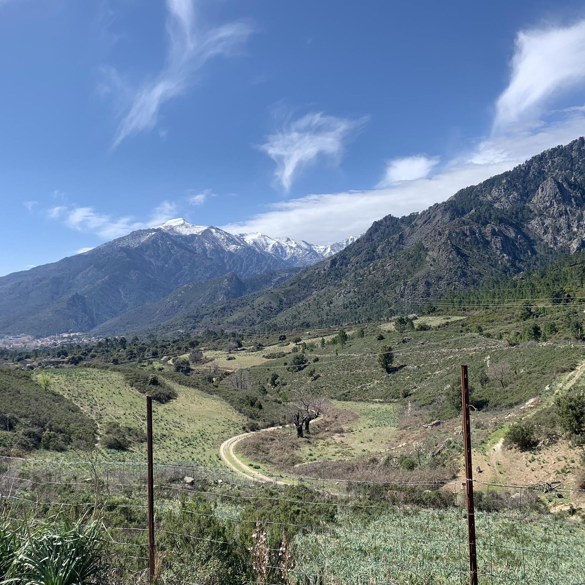
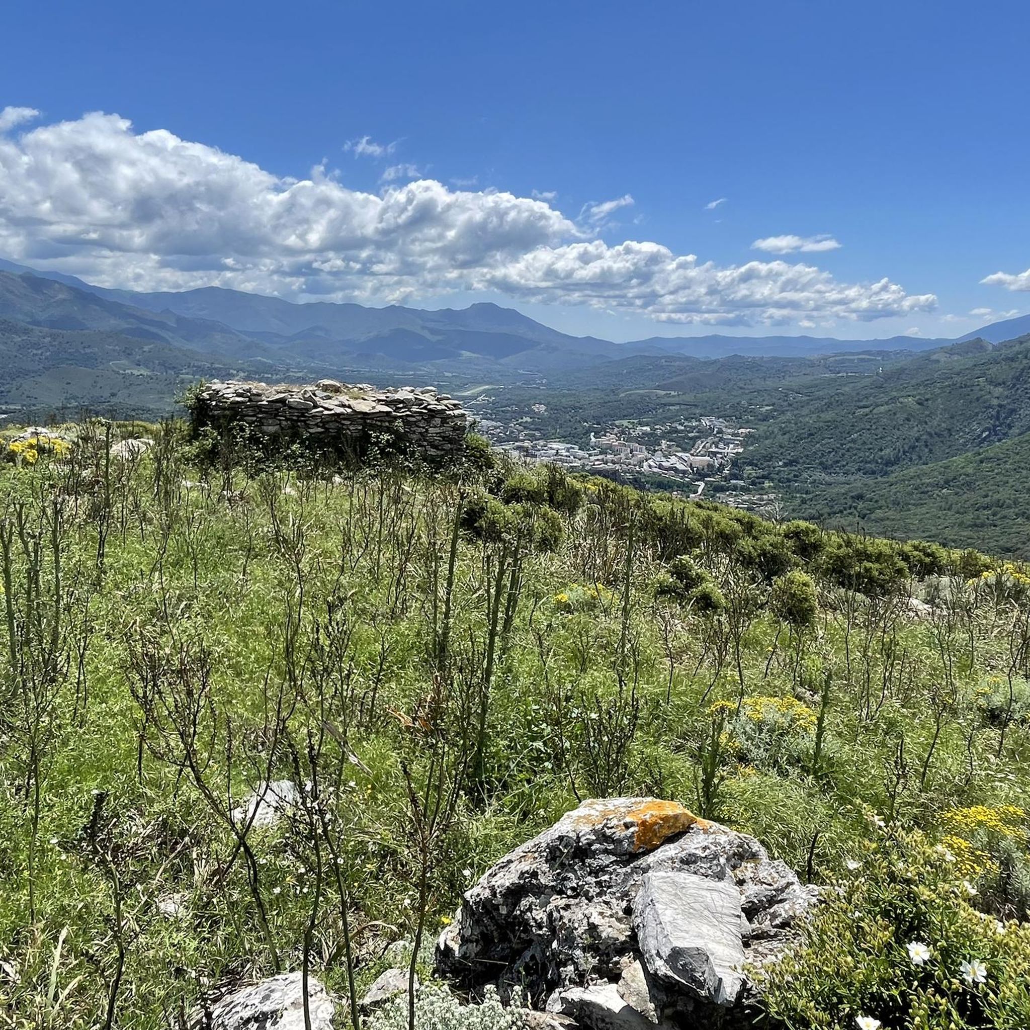
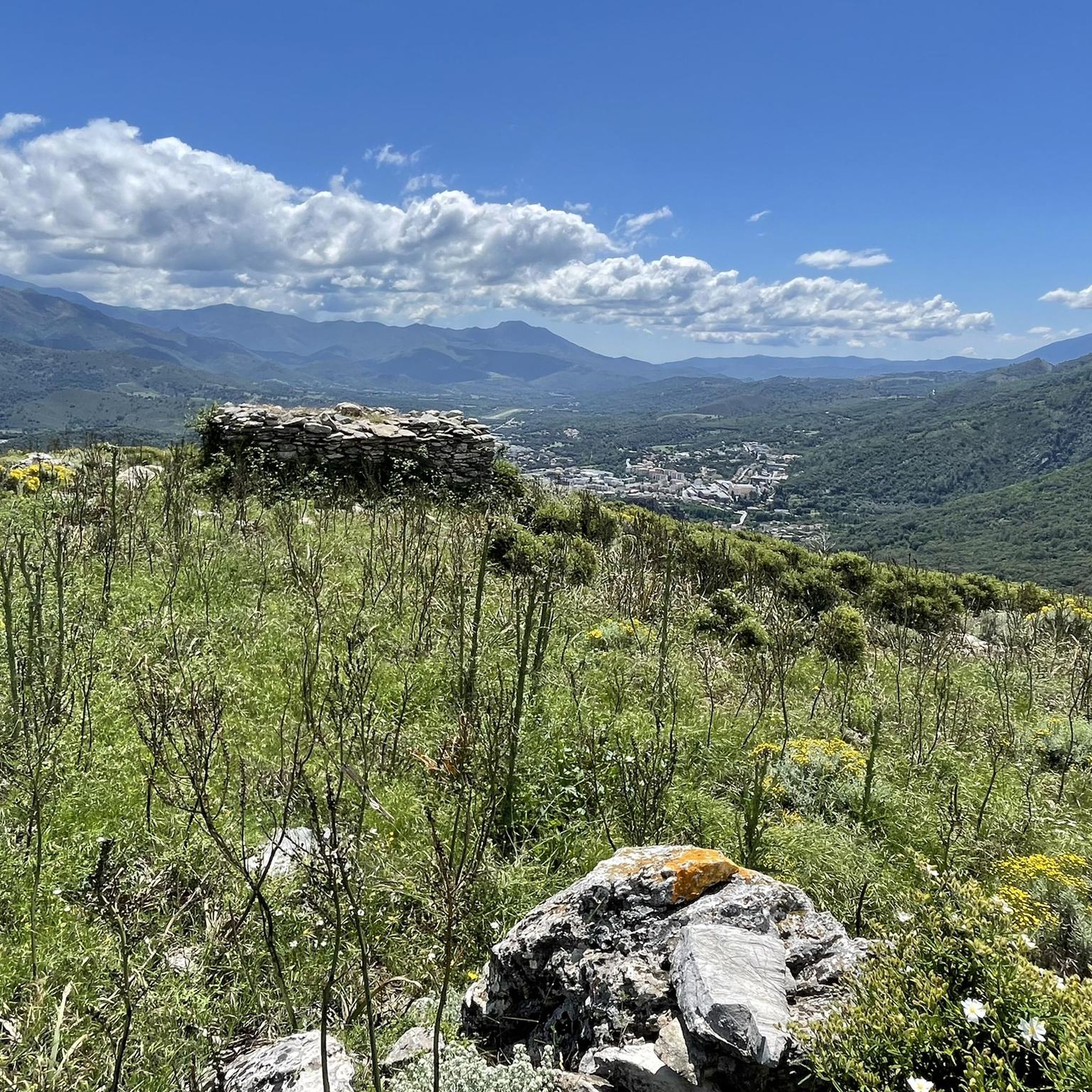
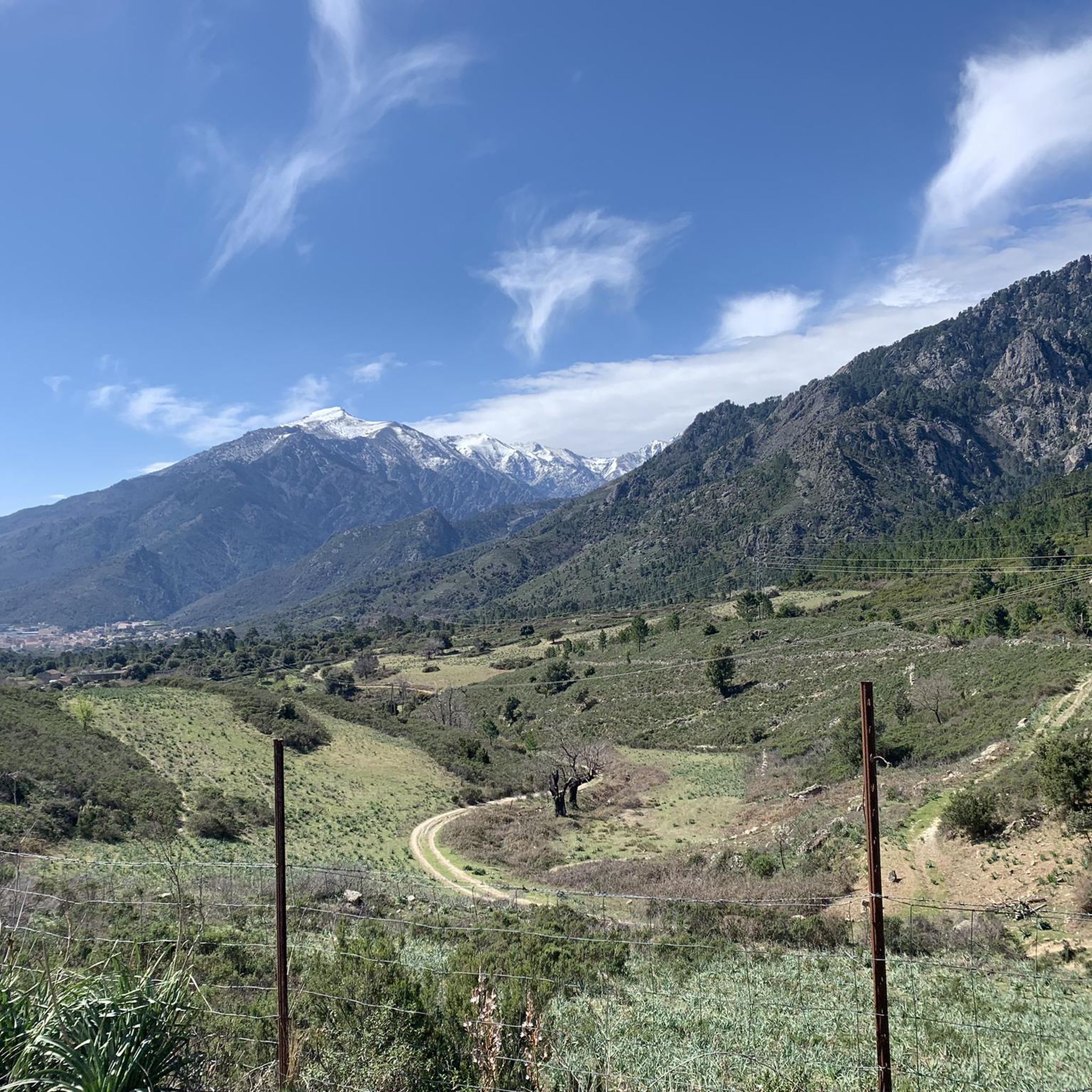
Tips from the Community


very pretty here, very pretty
0
0

On the evening of July 26th every year, after sunset, the sun shines through a hole in the rock of "Capo Tafunatu", which can be seen particularly well from here, provided that there are no clouds obscuring the view. You can spend the night here - as some Corsicans do -, experience the night sky and then the sunrise, or descend again with a headlamp. The starting point of the hike can be the Tuani campsite on the "La Restonica" river near Corte, but you can also use buses that drive in the valley on the D623 to the "Pont de Frassetta" bridge.
1
0

We did the climb from the Restonica valley in early July. Heavy rainfall in May caused exceptionally large snowfields below the couloir. Orientation and finding a way was therefore more difficult than under normal circumstances. In particular, the descent on what is actually the same path required a good sense of direction, very confusing, also due to randomly placed cairns that ended in dead ends below the couloir (sometimes on the mighty, too steep granite slabs, which abruptly bordered snowfields and forced to turn back... with then new attempts). In total we have 15km, 3200m difference in altitude (ascent, descent), 6.5 hours in motion and 11.5 hours total time (2 x 45min breaks, remaining time for photos, path search) needed. Tip: be sure to inquire about the snow situation beforehand. possibly Bring a toddle, a snow plate for sticks and a rope. Luckily the snow was very soft, so we didn't need all that. Sticks are mandatory!
0
2

Like most lakes in the Corsican mountains, this one has its own collection of bright green cushioned pozzines. It is a shallow lake of only 1.8 meters, but it is compensated by its height of 2622 meters above the sea. A short hike further on the path is worth seeing the lake which shrinks away.
2
0

Very worthwhile destination, scenic anyway, but also something for bird lovers. When we were there, you could watch the jackdaws' flying skills in the strong gusts of wind.
8
0

Fantastic lake. The mountain crows tore the snack from our hands. This is an adventure !!!
3
1
Frequently Asked Questions
How many mountaineering routes are available around Soveria?
This guide features 5 mountaineering routes around Soveria, offering a range of challenging experiences for mountain enthusiasts.
What is the typical difficulty level of mountaineering routes in Soveria?
The mountaineering routes around Soveria are generally challenging. Out of the 5 routes listed, 4 are classified as difficult, and 1 is moderate. This region is known for its rugged, mountainous terrain with significant elevation changes, making it suitable for experienced mountaineers.
Are there any circular mountaineering routes in Soveria?
Yes, several routes around Soveria are designed as loops. For example, you can explore the challenging Climbing by stairs and chains – Lake Capitello loop from Chez Caesar, which takes you to the scenic Lake Capitello. Another option is the Bergerie de Timozzu – Monte Rotondo summit loop from Voie Normale vers Monte Rotondo, offering expansive mountain views.
What kind of terrain can I expect on mountaineering routes near Soveria?
Mountaineering routes near Soveria, particularly in the interior of Corsica near Corte, feature rugged, mountainous terrain. You can expect rocky peaks, deep valleys, and significant elevation changes, with some routes ascending over 1,000 meters. Technical sections with stairs and chains are also present on certain trails, such as the route to Lake Capitello.
What are some notable natural features or landmarks I can see along the routes?
The region around Soveria is rich in natural beauty. Along the routes, you might encounter features like the scenic Lake Capitello. Nearby, you can also explore the Belvedere of Corte for panoramic views, or the Corte Citadel for a historical landmark.
Are there any routes that feature natural bathing pools or waterfalls?
Yes, the area offers routes with natural water features. The Cool bathing pools loop from Tuani is a great option for this. Additionally, you can find the Tavignano Natural Pools and the Abri d’Antia Waterfall in the vicinity, which are popular spots for refreshing dips.
What is the best time of year for mountaineering in Soveria?
Given the high mountain passes and alpine lakes, the best time for mountaineering in Soveria is typically during the warmer months, from late spring to early autumn, when trails are clear of snow and weather conditions are more stable. Always check local weather forecasts before heading out.
What do other mountaineers say about the routes in Soveria?
The mountaineering routes in Soveria are highly regarded by the komoot community, with an average rating of 4.88 stars from over 14 reviews. More than 120 mountaineers have used komoot to explore this varied terrain, often praising the challenging climbs and stunning alpine scenery.
Are the mountaineering routes around Soveria suitable for families?
The routes around Soveria are primarily geared towards experienced mountaineers due to their difficult classification and significant elevation changes. While some families with extensive mountaineering experience might find suitable options, many routes feature technical sections and long durations, which may not be ideal for younger children or beginners.
Can I bring my dog on the mountaineering trails in Soveria?
While many trails in natural areas allow dogs, it's crucial to check specific regulations for each route and protected areas around Soveria, especially given the challenging terrain and potential for wildlife. Always keep your dog on a leash and ensure they are fit enough for strenuous mountain hikes.
Where can I find parking for mountaineering trails in Soveria?
Specific parking information varies by trailhead. For routes like the Lake Capitello loop, starting points such as 'Chez Caesar' often have designated parking areas. It's advisable to research the specific trailhead for your chosen route to confirm parking availability and any associated fees.
Is it possible to reach mountaineering trailheads by public transport in Soveria?
Access to remote mountaineering trailheads in mountainous regions like Soveria can be limited by public transport. While some larger towns like Corte might have bus services, reaching specific starting points for challenging mountain routes often requires private transport. It's recommended to plan your logistics carefully.
Most popular attractions around Soveria

Get inspired with the komoot mobile app


Explore more
Browse the best Mountain Hikes & Routes in other regions.
