The best cycling routes around Vrlika
5.0
(9)
58
riders
7
rides
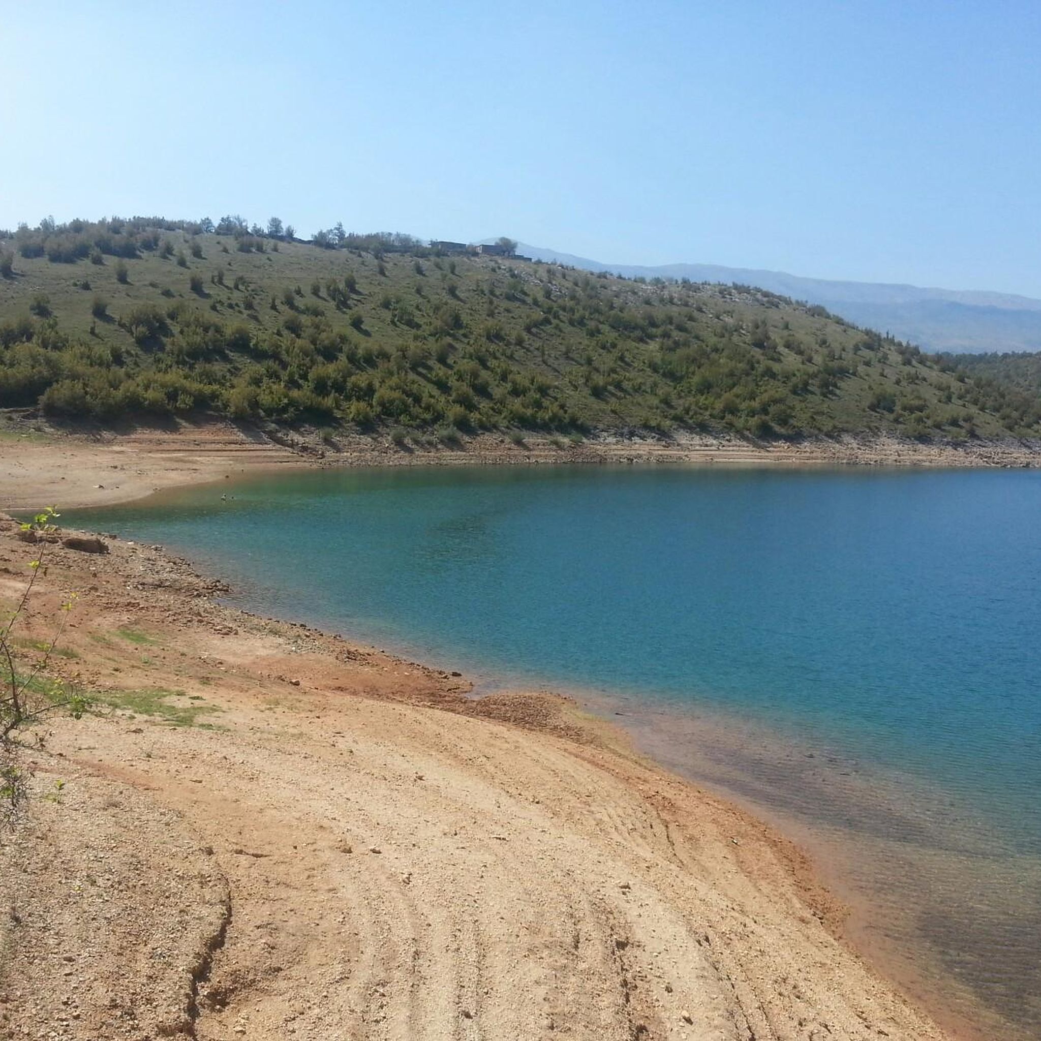
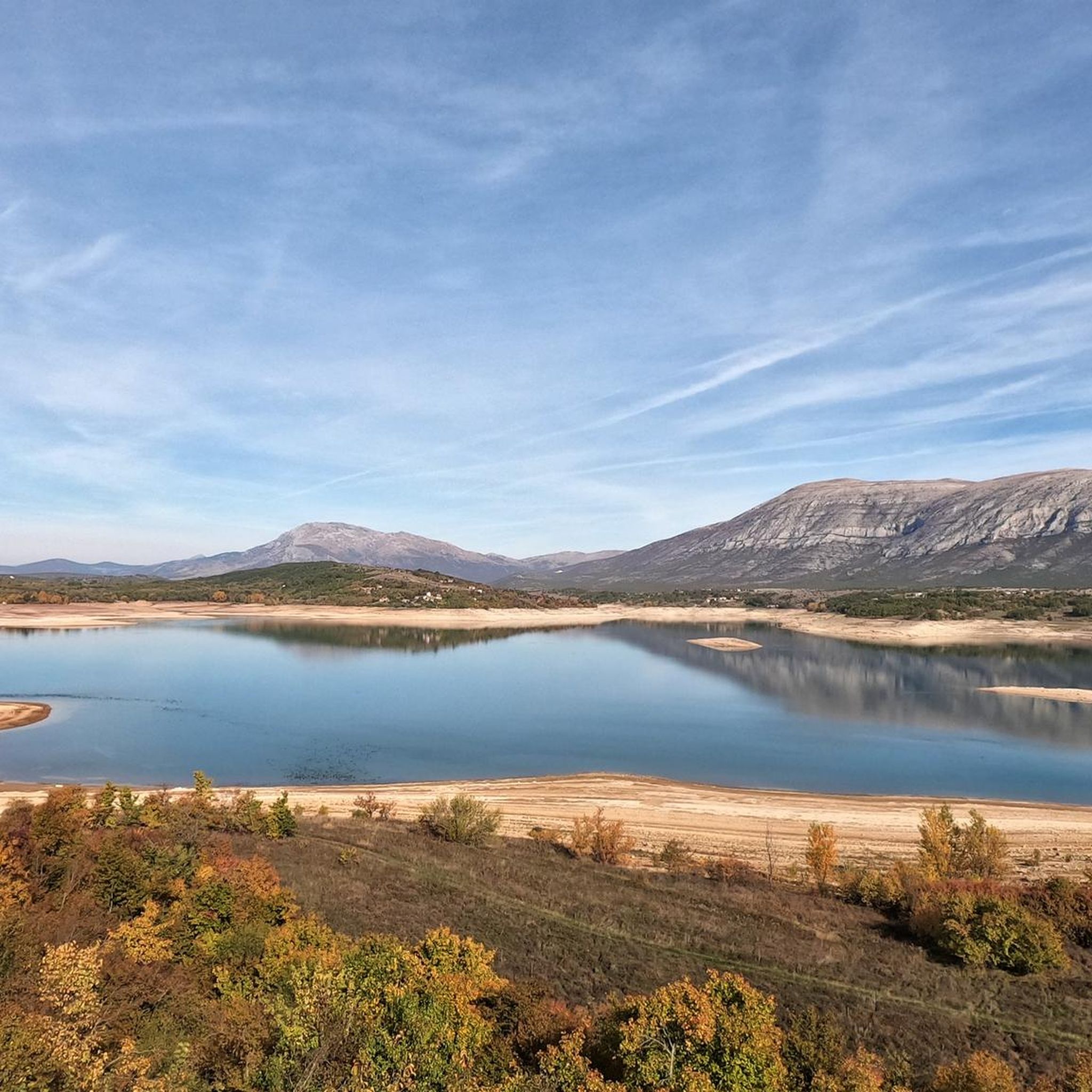
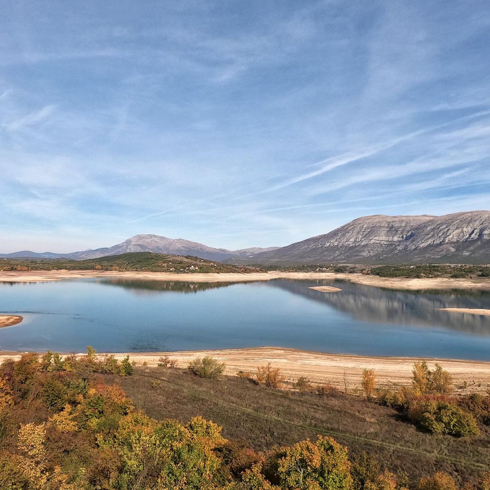
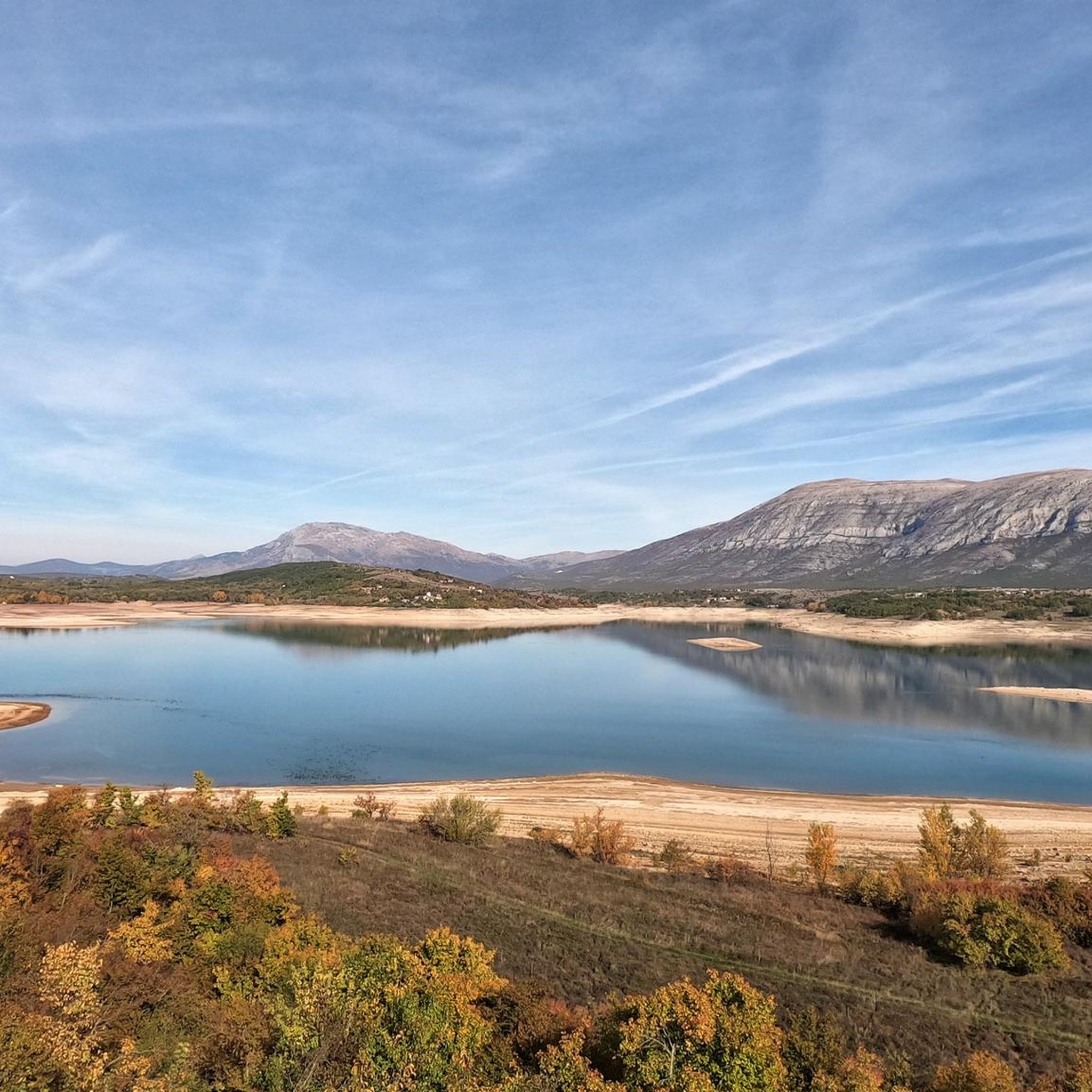
Touring cycling around Vrlika offers routes through the diverse landscapes of the Dalmatian hinterland, characterized by the towering Dinara mountain range and the expansive Peruča Lake. The region features a mix of terrains, from the high karst areas of Dinara composed of limestone and dolomite, to the "green mountain" Svilaja. The Cetina River, originating at the foot of Dinara, adds riverine paths to the cycling network. These physical features provide varied elevation profiles and scenic backdrops for touring cyclists.
Best…
Last updated: October 4, 2026
5.0
(2)
29
riders
61.3km
03:44
550m
550m
Hard bike ride. Very good fitness required. Mostly paved surfaces. Suitable for all skill levels.
5.0
(1)
7
riders
14.4km
00:52
110m
110m
Easy bike ride. Great for any fitness level. Mostly paved surfaces. Suitable for all skill levels.

5.0
(2)
6
riders
11.8km
00:42
80m
80m
Easy bike ride. Great for any fitness level. Mostly paved surfaces. Suitable for all skill levels.
5.0
(1)
5
riders
37.6km
02:34
370m
370m
Moderate bike ride. Good fitness required. Mostly paved surfaces. Suitable for all skill levels.
5.0
(1)
8
riders
6.76km
00:35
140m
130m
Easy bike ride. Great for any fitness level. Mostly paved surfaces. Suitable for all skill levels.
5.0
(1)
3
riders
23.8km
01:35
350m
350m
Moderate bike ride. Good fitness required. Mostly paved surfaces. Suitable for all skill levels.
Our route recommendations are based on thousands of hikes, rides, and runs completed by other people on komoot.
Start today with a free account
Your next adventure awaits.
Tips from the Community

Cattle crossing bridge and Peruča river
0
0

Attention, there is nothing to buy here. So take food and drink with you
0
0
Frequently Asked Questions
How many touring cycling routes are available around Vrlika?
There are over 7 touring cycling routes around Vrlika, offering a variety of experiences for different skill levels. These routes are highly rated by the komoot community, with an average score of 5.0 stars.
What kind of terrain can I expect on touring cycling routes near Vrlika?
The terrain around Vrlika is diverse, ranging from the high karst areas of the Dinara mountain, composed of limestone and dolomite, to the 'green mountain' Svilaja. You'll find a mix of flat sections along the Cetina River and Peruča Lake, as well as more challenging ascents and descents through rolling hills and open fields in the Vrlika hinterland. Routes like Cetina River Road – Vulići loop from Vrlika offer varied elevation profiles.
Are there any easy touring cycling routes suitable for beginners or families in Vrlika?
Yes, Vrlika offers several easy touring cycling routes. For instance, the Bike loop from Japa is an easy 11.7 km trail that takes about 41 minutes to complete, leading through the Vrlika countryside. Another easy option is the Campsite in Dinara Nature Park loop from Garjak, which is 14.3 km long.
What are some notable natural features or landmarks I can see while cycling in Vrlika?
Vrlika's touring cycling routes offer access to stunning natural beauty and historical sites. You can cycle near the expansive Peruča Lake, with the Dinara Mountain as a backdrop, or follow the Cetina River, known for its crystal-clear waters and picturesque springs. Historical landmarks include the Prozor Fortress, offering panoramic views, and the ancient Church of Holy Salvation. The Campsite in Dinara Nature Park loop from Vrlika provides views of the Dinara Nature Park.
When is the best time of year to go touring cycling in Vrlika?
The region is generally best for touring cycling during spring and autumn when temperatures are milder and the landscapes are vibrant. Summer can also be suitable, especially for routes near water bodies like Peruča Lake or the Cetina River, but it can get quite warm. Winter cycling might be possible on lower elevation routes, but higher mountain areas like Dinara could have challenging conditions.
Are there any circular touring cycling routes in Vrlika?
Yes, many of the touring cycling routes around Vrlika are designed as loops, allowing you to start and end in the same location. Examples include the popular Cetina River Road – Vulići loop from Vrlika, the moderate Klačine – Pačina Glavica loop from Gašpari, and the shorter Bike loop from Japa.
Can I find cafes or places to rest along the touring cycling routes in Vrlika?
While specific cafes directly on every route might be limited, Vrlika town itself and some of the smaller settlements you pass through will offer opportunities for refreshments. It's advisable to carry sufficient water and snacks, especially on longer routes, and plan your stops in advance. The Česma fountain in Vrlika's 19th-century park is a popular local spot for a break.
What are the options for parking if I bring my own bike to Vrlika?
Vrlika, being a smaller town, generally offers accessible parking options. You can typically find parking in the town center or near popular starting points for routes. It's always a good idea to check local signage for any specific parking regulations or designated areas for visitors.
Are there any challenging touring cycling routes for experienced cyclists in Vrlika?
Experienced touring cyclists will find challenging routes in Vrlika, particularly those that venture into the foothills of the Dinara mountain range. The Cetina River Road – Vulići loop from Vrlika, for example, is a difficult 61.1 km route with over 550 meters of elevation gain, offering a significant challenge and rewarding views.
Is public transport available to reach Vrlika for cyclists?
Vrlika is connected by local bus lines, which can be an option for reaching the area. However, public transport options for carrying bicycles can vary. It's recommended to check with specific bus operators regarding their policies on transporting bikes before planning your trip. For more detailed information on getting to Vrlika, you might find resources on the local tourism website helpful: Discover Vrlika.
What other outdoor activities can I combine with touring cycling in Vrlika?
Vrlika is an excellent base for various outdoor activities. Besides cycling, you can enjoy hiking and mountain biking on Dinara and Svilaja mountains, water activities like swimming, fishing, kayaking, and rowing on Peruča Lake, or rafting on the Cetina River. The area also offers natural rock climbing near Prozor Fortress. For more ideas, visit What to Do in Vrlika.
Most popular routes around Vrlika

Get inspired with the komoot mobile app


Didn’t find what you were looking for?
Check out more Cycling routes throughout Vrlika below and find the perfect route in your destination.
Explore more
Browse the best Cycling routes in other regions.
