The best mountain hikes in Forêt De Sorba-Rospa
4.8
(8)
56
hikers
4
hikes
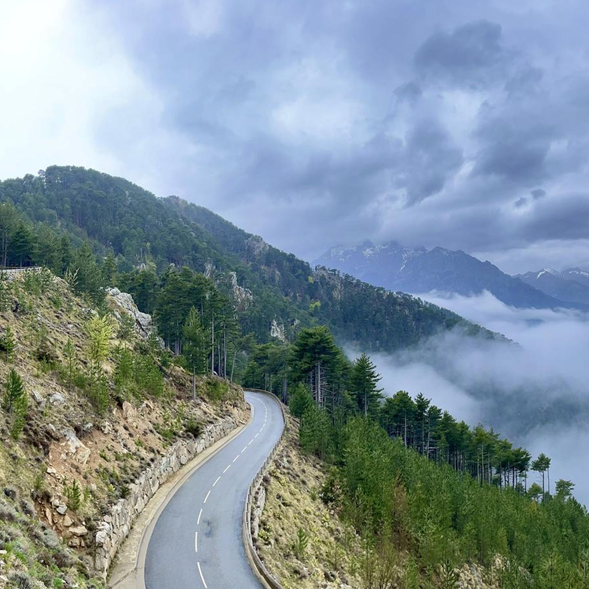
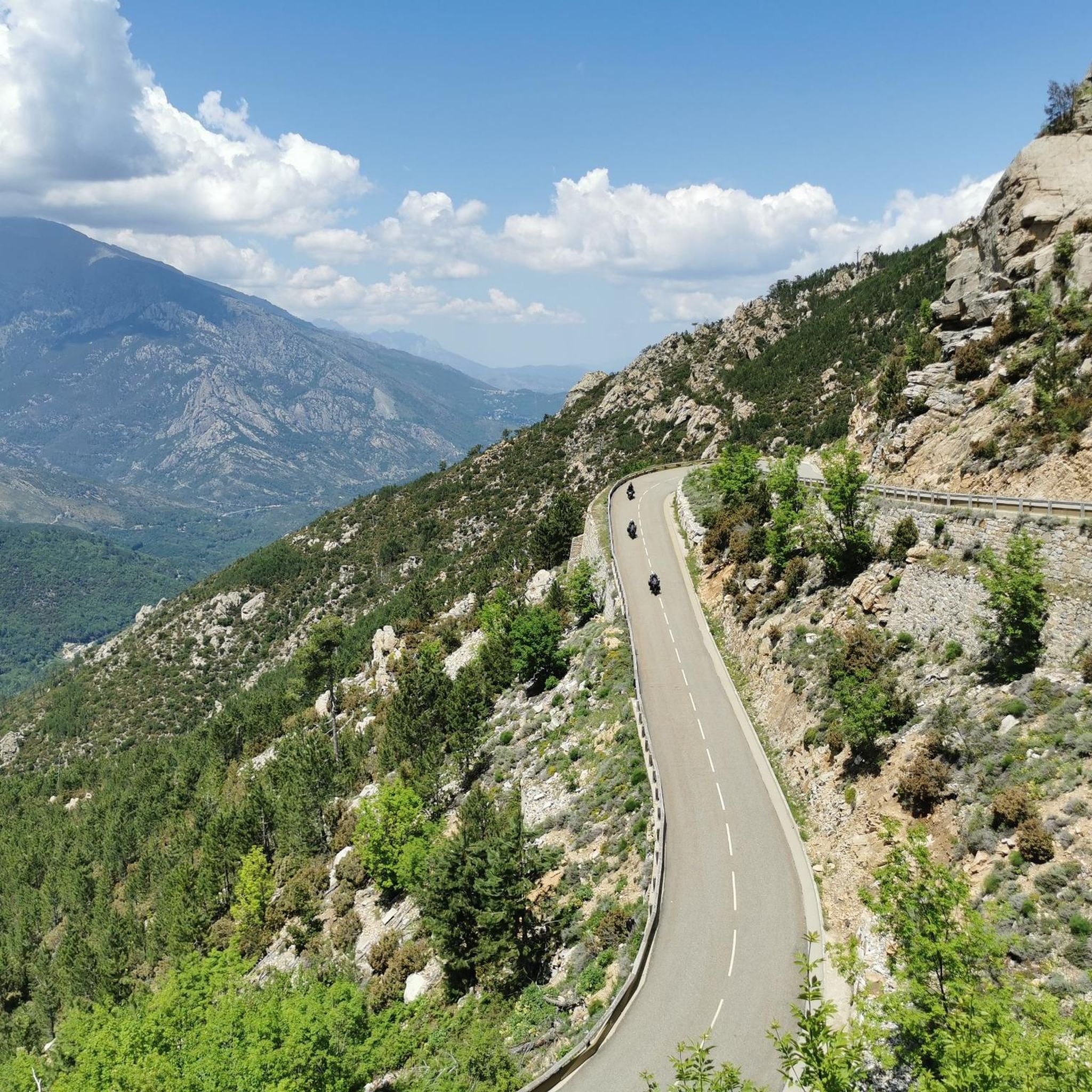
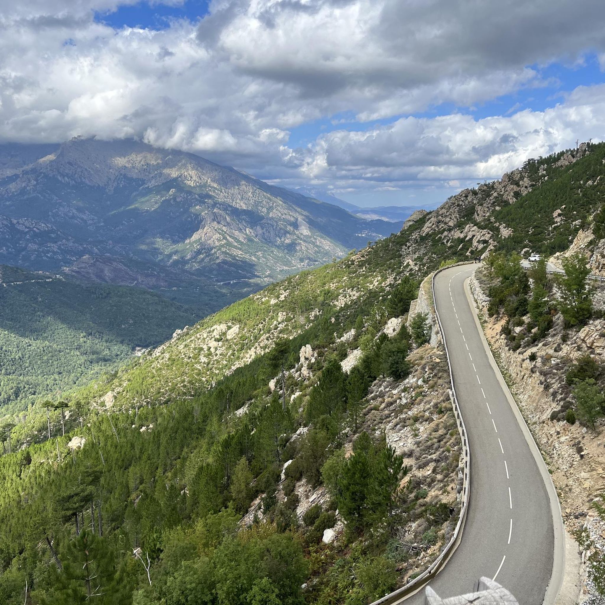
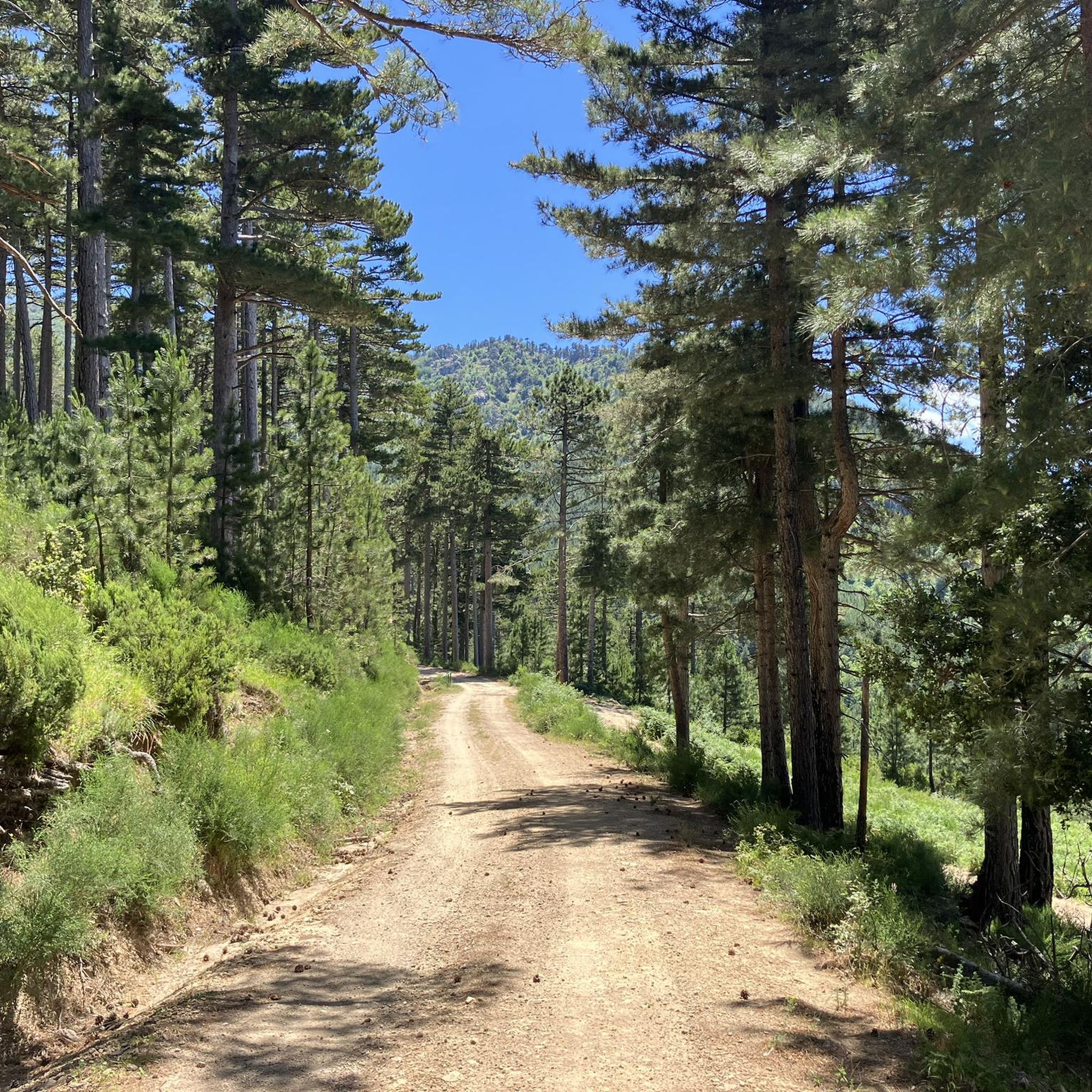
Mountaineering routes in Forêt De Sorba-Rospa traverse a diverse landscape in Haute-Corse, France, situated partly within the Regional Natural Park of Corsica. The region is characterized by dense Laricio pine forests and a varied topography, with altitudes ranging from 930 meters to 1565 meters. This mountainous terrain features a mix of geological substrates, including eruptive rock, and is cut by valleys where streams flow.
Best mountaineering routes in Forêt De Sorba-Rospa
- The most popular mountaineering route is Tolla Shepherd’s Hut – Meli Waterfall loop from Tattone, a 9.6 miles (15.4 km) trail that takes 4 hours 35 minutes to complete. This moderate route offers views of the forest's natural features.
- Another top favourite among local mountaineers is Monte d'Oro – Water Source on the GR20 loop from Vizzavona, a difficult 10.2 miles (16.4 km) path. This route features significant elevation gain through rugged mountain terrain.
- Local mountaineers also love the English Falls – L'Agnone loop from Vizzavona, a 4.3 miles (6.9 km) trail leading through forested valleys, often completed in about 2 hours 9 minutes.
- Mountaineering in Forêt De Sorba-Rospa is defined by dense pine forests, varied topography with significant altitude changes, and valleys with streams. The network offers options for different ability levels, from moderate to difficult.
- The routes in Forêt De Sorba-Rospa are highly rated by the komoot community with an average score of 4.8 stars from 8 reviews. More than 50 mountaineers have used komoot to explore Forêt De Sorba-Rospa's varied terrain.
Last updated: July 14, 2026
13
hikers
15.4km
04:35
450m
450m
Moderate mountaineering route. Good fitness required. Mostly accessible paths. Sure-footedness required.
5.0
(2)
20
hikers
16.4km
09:07
1,390m
1,390m
Hard mountaineering route. Very good fitness required. Sure-footedness, sturdy shoes and alpine experience required.

Sign up for free
4.5
(4)
17
hikers
6.88km
02:08
230m
230m
Moderate mountaineering route. Good fitness required. Mostly accessible paths. Sure-footedness required.
5.0
(2)
4
hikers
12.6km
05:34
790m
790m
Hard mountaineering route. Very good fitness required. Mostly accessible paths. Sure-footedness required.
Our route recommendations are based on thousands of hikes, rides, and runs completed by other people on komoot.
Start today with a free account
Your next adventure awaits.
Login or Signup
Tips from the Community


wonderfully beautiful here, simply magical
0
0
wonderfully beautiful here, simply magical
3
0
Frequently Asked Questions
What types of mountaineering routes can I find in Forêt De Sorba-Rospa?
Forêt De Sorba-Rospa offers a range of mountaineering routes, from moderate to difficult. You'll find paths traversing dense Laricio pine forests, varied topography with significant altitude changes, and valleys with streams. The region's mountainous terrain provides options for different skill levels, with two moderate and two difficult routes currently available.
Are there any family-friendly mountaineering options in Forêt De Sorba-Rospa?
While many routes in Forêt De Sorba-Rospa involve significant elevation, some moderate options are suitable for families with older children or those accustomed to hiking. For instance, the English Falls – L'Agnone loop from Vizzavona is a shorter, moderate trail that leads through forested valleys and is often completed in about 2 hours 9 minutes, making it a good choice for a family outing.
What are some notable natural features or landmarks to look out for on these routes?
The Forêt De Sorba-Rospa is renowned for its dense Laricio pine groves and varied topography, with altitudes ranging from 930 meters to 1565 meters. You'll encounter clear mountain pine forests, streams in the valleys, and a rich biodiversity. The Tolla Shepherd’s Hut – Meli Waterfall loop from Tattone, for example, offers views of the forest's natural features, including the Meli Waterfall.
Are there any circular mountaineering routes available?
Yes, several routes in Forêt De Sorba-Rospa are designed as loops, allowing you to start and end at the same point. Popular circular options include the moderate Tolla Shepherd’s Hut – Meli Waterfall loop from Tattone and the more challenging Monte d'Oro – Water Source on the GR20 loop from Vizzavona.
What is the best time of year for mountaineering in Forêt De Sorba-Rospa?
The best time for mountaineering in Forêt De Sorba-Rospa generally aligns with late spring, summer, and early autumn. During these periods, the weather is more stable, and trails are typically clear of snow, especially at higher altitudes. Always check local weather forecasts and trail conditions before heading out, as conditions can change rapidly in mountainous terrain.
What do other mountaineers say about the routes in Forêt De Sorba-Rospa?
The mountaineering routes in Forêt De Sorba-Rospa are highly rated by the komoot community, with an average score of 4.8 stars from 8 reviews. Over 50 mountaineers have used komoot to explore this varied terrain, often praising the preserved pine forests and the challenging yet rewarding ascents.
Are there any particularly challenging routes for experienced mountaineers?
Absolutely. For experienced mountaineers seeking a significant challenge, the Monte d'Oro – Water Source on the GR20 loop from Vizzavona is a difficult 10.2-mile (16.4 km) path featuring significant elevation gain through rugged mountain terrain. Another demanding option is the Water Source on the GR20 – Pointe Muratello (2,138 m) loop from Col de Vizzavona, which covers 25.3 km with substantial elevation changes.
Is it possible to access the mountaineering routes using public transport?
Some routes, particularly those starting near Vizzavona, may be accessible via public transport options that serve the area, such as the Corsican railway. However, specific public transport links directly to all trailheads might be limited due to the forest's somewhat difficult access. It's advisable to research local bus or train schedules to Vizzavona or other nearby villages like Tattone and plan your journey accordingly.
Are there any specific permits or regulations for mountaineering in Forêt De Sorba-Rospa?
Forêt De Sorba-Rospa lies partly within the Regional Natural Park of Corsica. While general access for hiking is usually permitted, it's always wise to check for any specific regulations, especially concerning protected areas, camping, or fire restrictions. You can find more information on the park's official website or local tourist information centers. For general information about the forest, you can consult resources like visit-corsica.com.
Can I bring my dog on the mountaineering trails?
As Forêt De Sorba-Rospa is part of the Regional Natural Park of Corsica, specific rules regarding dogs may apply to protect wildlife and maintain the natural environment. Generally, dogs are often allowed on trails but may need to be kept on a leash. It's best to verify the current dog policy with the Regional Natural Park of Corsica before your visit to ensure compliance.
Where can I find parking for the mountaineering routes?
Parking availability will depend on the specific trailhead. Routes starting from Vizzavona, such as the English Falls – L'Agnone loop from Vizzavona, often have designated parking areas nearby. For routes like the Palmente Pass – Alzeta Sheepfolds loop from Vizzavona, starting points near villages or well-known access roads usually offer parking facilities. Always check the route details for specific parking recommendations.
Are there any cafes or accommodation options near the mountaineering routes?
Villages surrounding Forêt De Sorba-Rospa, such as Vizzavona, Tattone, Vivario, Vezzani, Muracciole, and Ghisoni, offer various services including cafes, restaurants, and accommodation options. Vizzavona, being a popular starting point for many trails, often has facilities catering to hikers and mountaineers. It's recommended to check local listings for current availability.
Most popular routes in Forêt De Sorba-Rospa

Get inspired with the komoot mobile app


Explore more
Browse the best Mountain Hikes & Routes in other regions.
