The best mountain hikes in Trappa - Bagneri
4.5
(6)
45
hikers
5
hikes
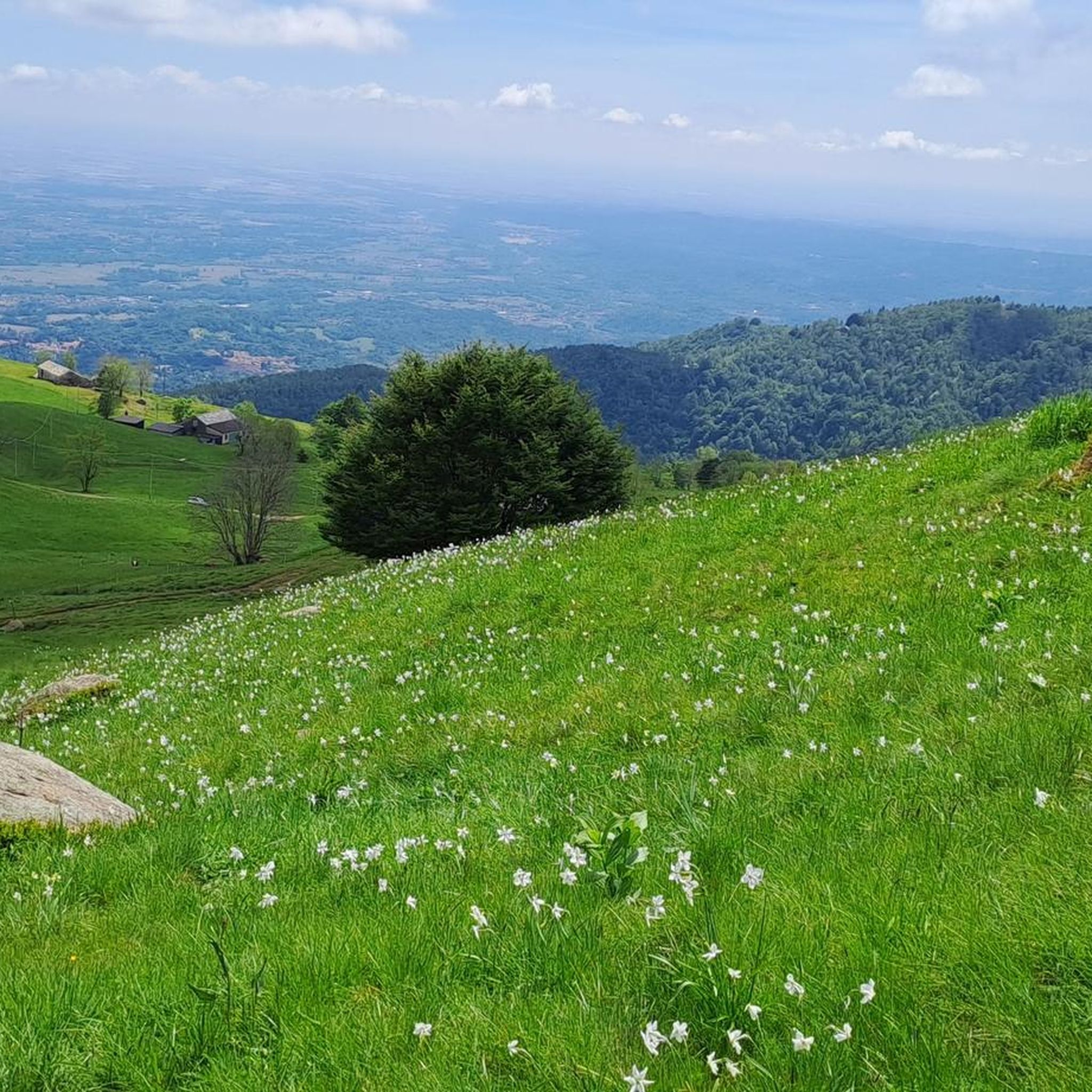
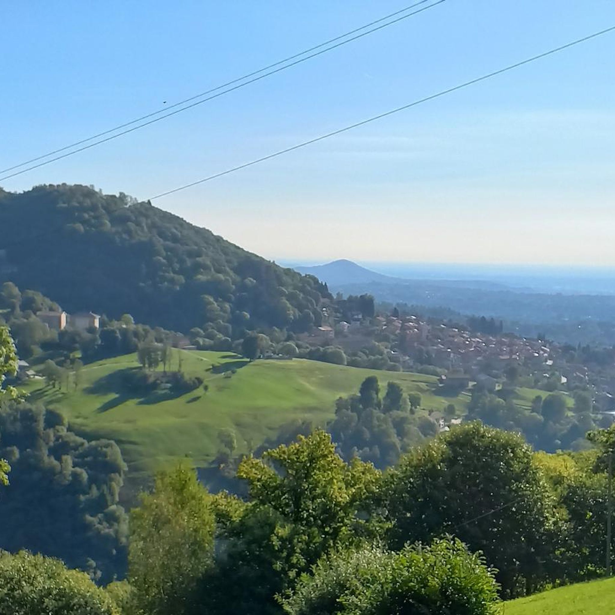
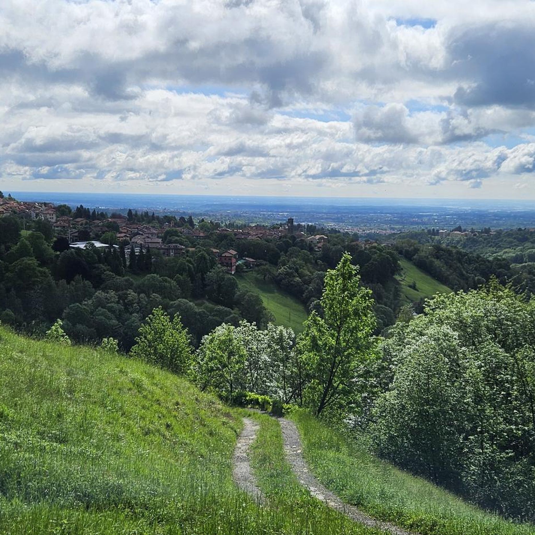
Mountaineering routes in Trappa - Bagneri traverse diverse landscapes, from forests and pastures to rugged alpine environments. The region is characterized by remote alpine trails, leading to pristine lakes and offering expansive views of the Piedmontese peaks. These routes often involve significant elevation gain, providing a challenging experience for mountaineers. The terrain includes high mountain passes and exposed sections, typical of the Valle Elvo.
Best mountaineering routes in Trappa - Bagneri
- The most popular mountaineering route is Bric Paglie –…
Last updated: July 4, 2026
5.0
(1)
7
hikers
13.6km
07:28
1,280m
1,280m
Hard mountaineering route. Very good fitness required. Sure-footedness, sturdy shoes and alpine experience required.
4.0
(3)
14
hikers
13.4km
06:42
1,090m
1,090m
Hard mountaineering route. Very good fitness required. Sure-footedness, sturdy shoes and alpine experience required.

Sign up for free
4.5
(2)
12
hikers
13.1km
06:33
1,090m
1,090m
Hard mountaineering route. Very good fitness required. Sure-footedness, sturdy shoes and alpine experience required.
11
hikers
11.7km
06:43
1,070m
1,070m
Hard mountaineering route. Very good fitness required. Sure-footedness, sturdy shoes and alpine experience required.
Our route recommendations are based on thousands of hikes, rides, and runs completed by other people on komoot.
Start today with a free account
Your next adventure awaits.
Login or Signup

Tips from the Community


glacial lake that gives rise to the Oropa stream
0
0
built in 1936 and restored in 2006
0
0

A few meters from Lake Mucrone, if you are looking for a place to fill your water bottle, the Fonte del Bersagliere is the ideal place, where the freshest spring water flows.
0
0

nice big rest area with benches, playground & restaurant, which was always closed during my time here
0
0
waterfalls of the Oropa stream on the path to Mucrone
0
0

Between the sanctuary of Oropa and the Rosazza refuge, at this point you can see a small but pretty waterfall of the Oropa stream. The water flows between several boulders to create a truly remarkable play of colors and reflections.
0
2

Convenient road from the sanctuary, beautiful to look at and cool to rinse off
0
1
Frequently Asked Questions
How many mountaineering routes are available in Trappa - Bagneri?
There are 12 dedicated mountaineering routes in Trappa - Bagneri, all of which are considered difficult and suitable for experienced mountaineers.
What is the typical difficulty level of mountaineering routes in Trappa - Bagneri?
All mountaineering routes in Trappa - Bagneri are classified as difficult. They often involve significant elevation gain, rugged alpine terrain, and can extend over five hours, requiring good fitness and sure-footedness.
What do other mountaineers say about the routes in Trappa - Bagneri?
The mountaineering routes in Trappa - Bagneri are highly rated by the komoot community, with an average score of 4.7 stars from over 8 reviews. Mountaineers often praise the challenging ascents, remote alpine trails, and impressive vistas of the Piedmontese peaks.
What kind of landscapes can I expect on these mountaineering routes?
You can expect diverse landscapes, from beautiful woods and pastures in the lower Elvo Valley to rugged alpine environments. Routes often lead through forgotten valleys to pristine alpine lakes like Lago Goudin and offer expansive views of dramatic Piedmontese peaks.
Are there any circular mountaineering routes in the area?
Yes, several routes are circular. For example, the Lago del Camino – Lago Barma superiore loop from Oropa is a challenging 16 km route with over 1200 meters of elevation gain.
What historical or natural landmarks can I see along the mountaineering routes?
The region is rich in landmarks. You might encounter the iconic The Trappa of Sordevolo, a former Trappist monastery, or the historic Bagneri Alpine Village with its ancient stone huts and stream stone sculptures. The panoramic Strada del Tracciolino also offers breathtaking views.
Are the mountaineering routes in Trappa - Bagneri suitable for families?
The mountaineering routes in Trappa - Bagneri are generally demanding and classified as difficult, involving significant elevation gain and rugged terrain. They are best suited for experienced mountaineers and may not be ideal for families with young children or those seeking easy walks.
Can I bring my dog on the mountaineering routes?
While many trails in the Elvo Valley are dog-friendly, the challenging nature of these mountaineering routes, with rugged terrain and high elevations, means you should assess your dog's fitness and experience. Always keep dogs under control, especially in alpine environments where wildlife may be present.
What are the parking options for accessing mountaineering routes in Trappa - Bagneri?
Specific parking information varies by route starting point. Many routes, such as those starting from Oropa or Cappella 77, typically have designated parking areas nearby. It's advisable to check the individual route details for precise parking locations.
Is public transport available to reach the starting points of these routes?
Public transport options to the more remote starting points of mountaineering routes in Trappa - Bagneri can be limited. Oropa, a common starting point for several routes, is generally more accessible by public transport than other, more secluded trailheads. Planning ahead is recommended.
When is the best time of year to go mountaineering in Trappa - Bagneri?
The best time for mountaineering in Trappa - Bagneri is typically during the warmer months, from late spring to early autumn (June to September), when trails are generally free of snow and weather conditions are more stable. Always check local weather forecasts before heading out.
Are there any specific climbing areas in Trappa - Bagneri?
Yes, the
Pian Bernardo rock face, located near Trappa at approximately 1200 meters above sea level, is a significant draw for climbers. It offers physical and technical sport climbing routes on limestone, ranging in difficulty from 6b to 8c, with varying steepness and handhold sizes.
Most popular routes in Trappa - Bagneri
Most popular attractions in Trappa - Bagneri

Get inspired with the komoot mobile app


Explore more
Browse the best Mountain Hikes & Routes in other regions.
