Top 16 Mountain Passes around Pfons
Best mountain passes around Pfons are found in the northern Wipptal valley of Tyrol, Austria. This charming village serves as a gateway to diverse mountain passes and scenic routes. The region is characterized by its alpine landscape, offering various recreational opportunities for outdoor enthusiasts. These passes are accessible from Pfons, providing excellent excursions for hikers, cyclists, and drivers.
Best mountain passes around Pfons
- The most popular mountain passes is Serlesjoch, a mountain pass that offers a nice bike and…
Last updated: June 26, 2026
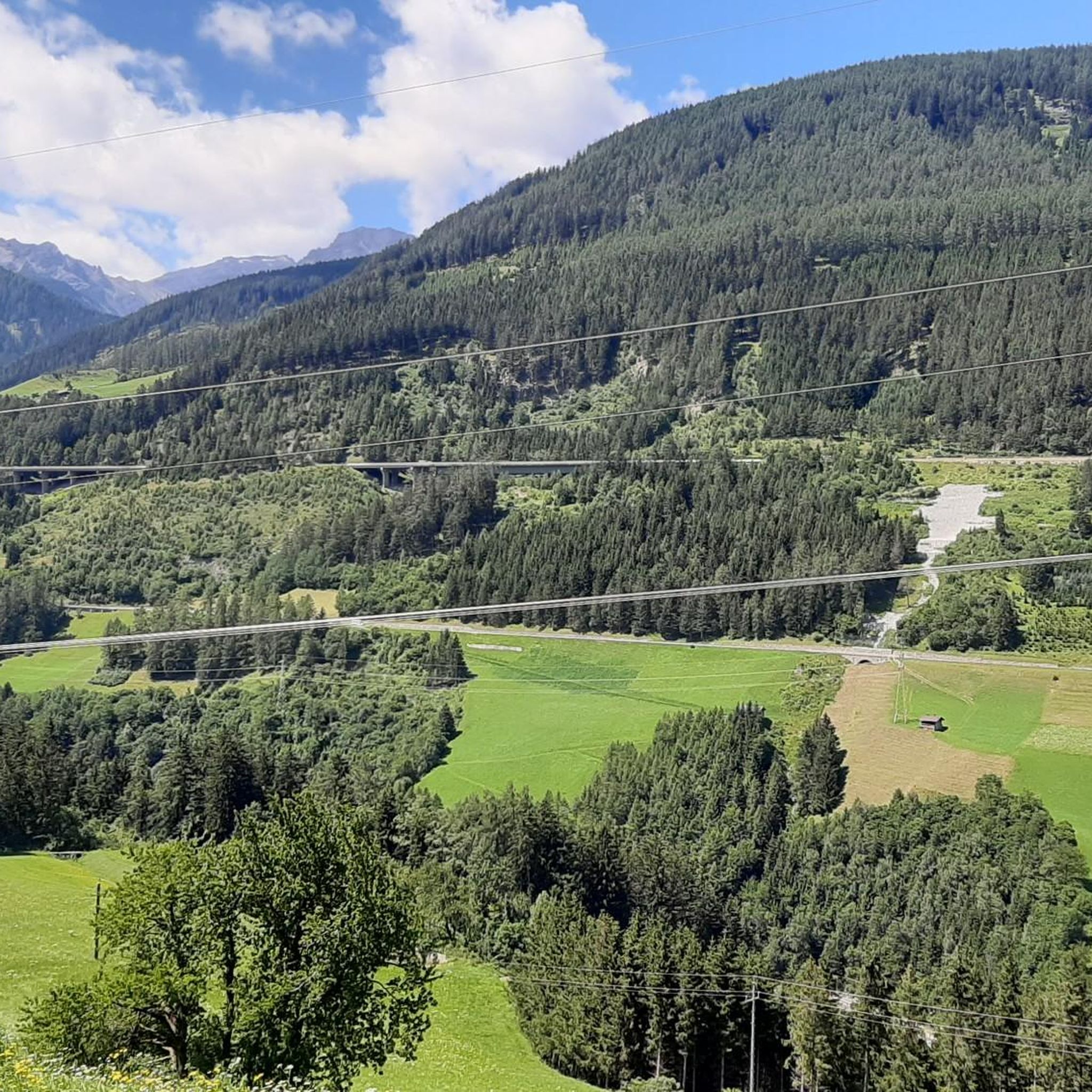
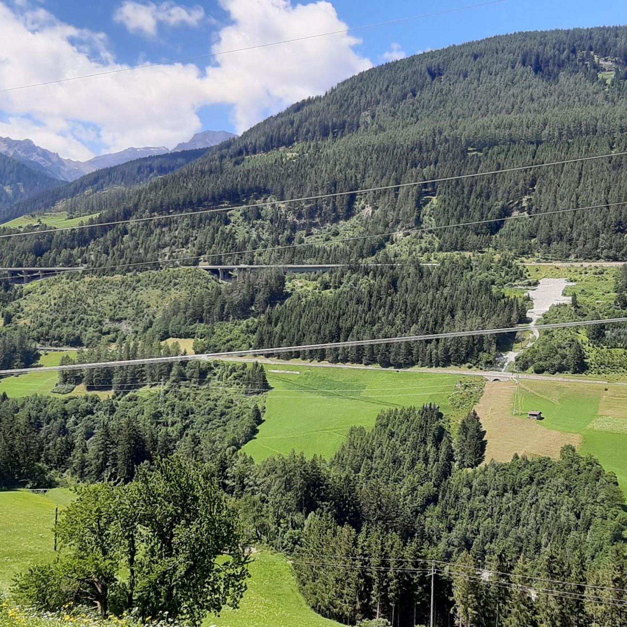
Brenner Pass Northern Ascent
Highlight (Segment) • Mountain Pass
Translated by Google •
Tip by

Serlesbahn Gondola
Highlight • Rest Area
Translated by Google •
Tip by

Sign up now to discover places like this
Get recommendations on the best single tracks, peaks, & plenty of other exciting outdoor places.
Sign up for free
Serlesjoch
Highlight • Mountain Pass
Translated by Google •
Tip by

Ridge between the Schmirn Valley and the Padaster Valley
Highlight • Mountain Pass
Translated by Google •
Tip by

Eggerjoch Pass
Highlight • Mountain Pass
Translated by Google •
Tip by

Sign up for free to discover even more mountain passes around Pfons.
Sign up for free
Already have an account?
Start today with a free account
Your next adventure awaits.
Login or Signup
Other adventures around Pfons

Tips from the Community

Long climb with mostly moderate gradient.
0
0

One of many ways to cycle up the Brenner Pass: Starting from Innsbruck, you'll cover a total of 36.4 kilometers on your way up. The route is relatively pleasant on asphalt, with an average gradient of 2.2 percent. A plus for Alpine lovers: You'll cycle through picturesque Tyrolean villages time and again.
0
0

Very worth seeing, you have to see it
0
1

Great going downhill, we recommend going uphill via the Roman road (Igls-Matrei) - significantly less traffic
2
1

Distance: 36.8km with 827m of gradient at 2.1% average slope. A very long climb that goes up the entire valley from Insbruck to the border with Italy in the famous and historic Brenner Pass. It is a climb to enjoy the Austrian landscapes of Tyrol and the tranquility of the roads. Although it seemed very tedious to me before doing it, I have to admit that it was very enjoyable and I really enjoyed it with my friend Jon Uncilla. I attach the link of @cyclingcols so you can see the profile in detail -- http://www.cyclingcols.com/col/Brenner_Brennero
1
0

In Mieders it's steep 12-17%, about 1km. Then it flattens out and levels off at an incline of 7-9%. Beautiful tours and well signposted.
0
0

Last stop before the scrambling ascent to the Serles.
1
0

Frequently Asked Questions
What are some other notable mountain passes near Pfons besides the most popular ones?
Beyond the most popular, the broader Tyrolean region offers several significant passes. These include the Brenner Pass Northern Ascent, known for its long cycling climb, and the Serlesjoch, which offers great views for hikers and bikers. Other passes in the wider region include the panoramic Silvretta High Alpine Road, the Kaunertal Glacier Road, the Hahntennjoch, the Kühtai Saddle, and the Jaufen Pass (Passo di Monte Giovo).
What kind of views can I expect from the mountain passes around Pfons?
The mountain passes around Pfons offer breathtaking alpine vistas. From Serlesjoch, you can enjoy views of the Stubaital, Kalkkögel, and the Wipptal with the Zillertal Alps. The Eggerjoch Pass provides expansive views across the Wipptal. Generally, you'll find magnificent mountain scenery, impressive heights, and picturesque Tyrolean villages.
Are there good cycling opportunities on the mountain passes near Pfons?
Yes, the region offers excellent cycling opportunities. The Brenner Pass Northern Ascent is a very long climb, stretching 36.8 km with an average gradient of 2.1%, passing through picturesque Tyrolean villages. The Silvretta High Alpine Road is also celebrated as a 'Dream Road of the Alps' for cyclists, featuring numerous curves and stunning scenery. For gravel biking, you can explore routes like the 'Brennerbad–Pflersch Cycle Path loop' or 'Klammalm – Peer Alm loop' from Matrei am Brenner, which are part of the Gravel biking around Pfons guide.
What hiking trails are available near the mountain passes around Pfons?
There are diverse hiking trails near the mountain passes. For instance, the Serlesjoch is part of a nice bike and hike tour. The Eggerjoch Pass is suitable for hikers, even inexperienced ones, via a ridge path. You can also find trails like the 'Himmelstiege Matrei loop' or 'Lake Kraft – Himmelstiege Matrei loop' which are considered easy, or more challenging options like the 'Pfoner Ochsenalm loop'. More details can be found in the Hiking around Pfons guide.
Are there any historical mountain passes in the region?
Yes, the Brenner Pass is a famous and historic mountain pass that connects Austria with Italy. It has been an important trade route for centuries. Cyclists can enjoy a long climb up this historic pass, experiencing the tranquility of the roads and Austrian landscapes of Tyrol.
How accessible are the mountain passes around Pfons for different types of travelers?
The mountain passes around Pfons cater to various travelers. Many are accessible by car, motorcycle, or bicycle, offering scenic road trips. For hikers, there are trails ranging from easy to challenging. The Serlesbahn Gondola can also assist with uphill travel for both hikers and mountain bikers, making some areas more accessible.
What is the best time of year to visit the mountain passes around Pfons?
The best time to visit the mountain passes around Pfons is generally from late spring to early autumn (May to October). During these months, the weather is milder, snow has melted from most passes, and conditions are ideal for hiking, cycling, and scenic drives. Some high alpine roads, like the Silvretta High Alpine Road, are typically open from May/June to October/November, depending on snow conditions.
Are there any facilities or amenities available near the mountain passes?
Yes, depending on the specific pass and its proximity to villages, you can find various facilities. For instance, the Serlesbahn Gondola offers lift support for hikers and bikers. In nearby villages like Pfons, Matrei am Brenner, or Steinach, you'll find cafes, pubs, and accommodation options. Some passes, especially the more developed ones, may have rest stops or restaurants.
Are there challenging hiking routes near Pfons' mountain passes?
Absolutely. For those seeking a challenge, the region offers demanding mountaineering experiences. The 'Pfoner Ochsenalm loop' from Matrei am Brenner is classified as a difficult hiking route. The ascent to Serles, for example, is a challenging mountaineering experience requiring good fitness and alpine experience. The ridge between the Schmirn Valley and the Padaster Valley also offers invigorating hiking trails.
Can I find easy or family-friendly hiking trails near Pfons?
Yes, there are several easy and family-friendly hiking options. Trails like the 'Himmelstiege Matrei loop' and 'Lake Kraft – Himmelstiege Matrei loop' from Matrei am Brenner are rated as easy. The Serlesbahn Gondola also provides access to areas with easier trails once you've gained elevation, and it's listed as a family-friendly highlight.
What makes the <a href="https://www.komoot.com/highlight/3437331" target="_blank" rel="noopener">Ridge between the Schmirn Valley and the Padaster Valley</a> a unique hiking experience?
This ridge offers an invigorating hiking trail with breathtaking views. It allows you to traverse between two distinct valleys, providing a real boost of energy amidst stunning mountain scenery. You can choose to continue along the ridge to Sumpfkopf or head towards Hochgeneinerjoch, offering diverse route options and magnificent panoramas.
What should I know before attempting the Serles Saddle?
The Serles Saddle is more of a challenging hiking route leading to the summit of Serles. It requires good fitness, sure-footedness, sturdy shoes, and alpine experience due to its difficulty. The ascent can take up to two hours with an elevation gain of 1,000 feet, but it rewards climbers with breathtaking views.
Most popular attractions around Pfons

Get inspired with the komoot mobile app


Explore more
See even more epic mountain passes by checking out these guides around Pfons:
