The 20 Most Amazing Peaks around Bermbach
Best mountain peaks around Bermbach are situated within the Thuringian Forest, a region known for its elevated terrain. Bermbach provides access to prominent peaks in this broader area, offering diverse mountain experiences. The landscape features significant elevations, including the highest points of the Thuringian Forest. This area is ideal for exploring natural beauty and outdoor activities.
Best mountain peaks around Bermbach
- The most popular mountain peaks is Schneekopf Summit and Observation Tower (Thuringia Stamp Point No. 68), a summit…
Last updated: July 7, 2026
Schneekopf Summit and Observation Tower (Thuringia Stamp Point No. 68)
Highlight • Summit
Translated by Google •
Tip by

Neue Gehlberger Hütte on Schneekopf
Highlight • Mountain Hut
Translated by Google •
Tip by

Sign up now to discover places like this
Get recommendations on the best single tracks, peaks, & plenty of other exciting outdoor places.
Sign up for free
Highest Point of the Rennsteig
Highlight • Summit
Translated by Google •
Tip by

Plänckner's viewpoint (Großer Beerberg)
Highlight • Viewpoint
Translated by Google •
Tip by

Rosenkopf (938 m) – Boundary Stones on the Rennsteig
Highlight • Historical Site
Translated by Google •
Tip by

Sign up for free to discover even more peaks around Bermbach.
Sign up for free
Already have an account?
Start today with a free account
Your next adventure awaits.
Login or Signup


Tips from the Community

Historical boundary stone and information board about the boundary stones on the Rennsteig and Rosenkopf at 938 m.
8
0

The Neue Gehlberger Hütte is located on the 978-meter-high Schneekopf mountain and is the highest-altitude serviced hut in Thuringia. It offers a cozy hiking hostel with shared rooms and a restaurant serving traditional Thuringian cuisine. Opening Hours: The restaurant is open daily from 10 a.m. to 5 p.m. – longer in summer. Breakfast for guests is served from 8 a.m. to 10 a.m.
2
0

Explorer of the Thuringian Forest. In 1829 he undertook the first continuous hike along the Rennsteig.
21
0
You can't get more nature than on the 170km long Rennsteig. There are also a number of raised bogs to see.
16
0

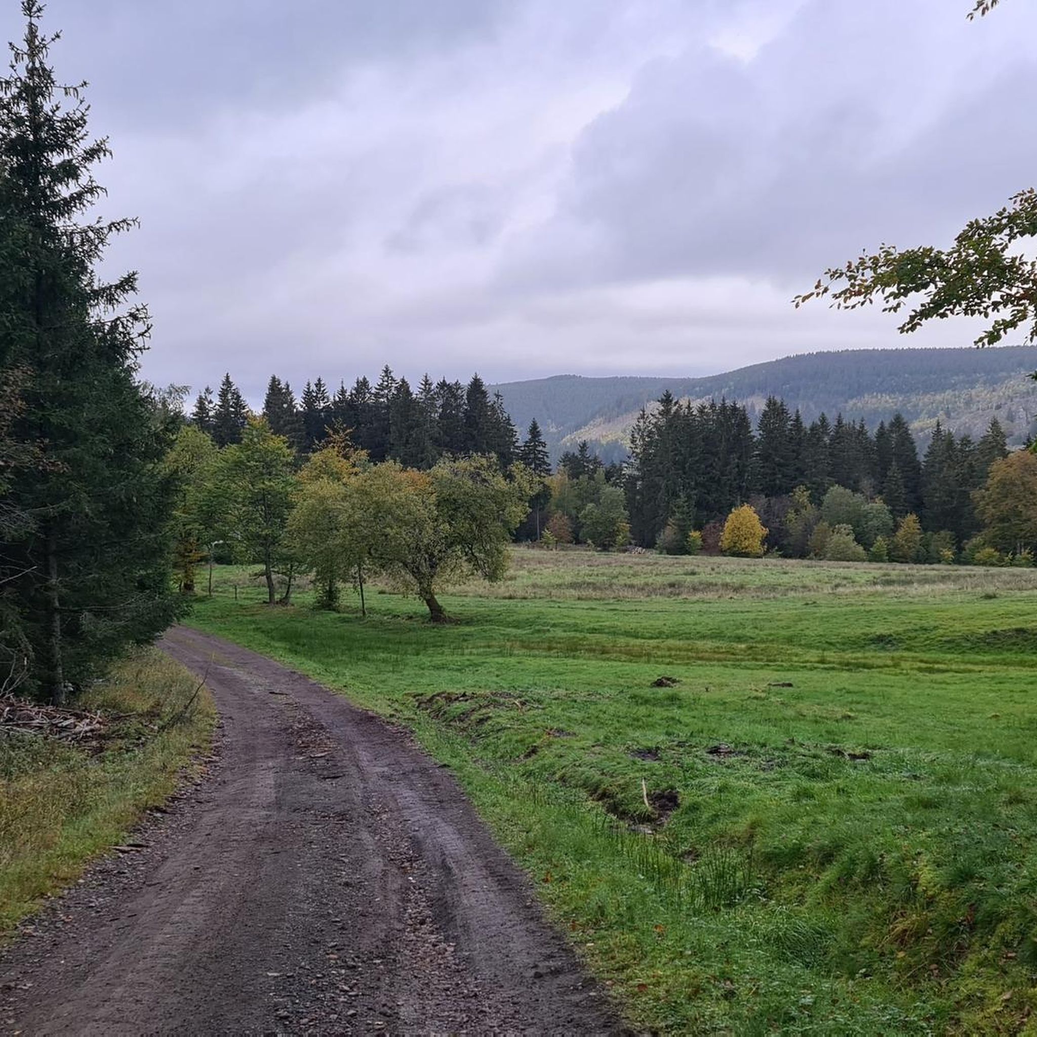
Located somewhat inconspicuously on the side of the road.
13
0

There are many beautiful landmarks on this section of the Rennsteig, which are marked with wooden posts just before the start of the winter season.
9
0

The Neue Gehlberger Hütte is open Thursday to Monday from 11 a.m. to 4 p.m. Tuesday and Wednesday are rest days. I can only recommend taking a break here. The offer is very good. The proximity to the parking facility at the Güldenen Brücke causes a large number of visitors, mostly on weekends and when the weather is nice.
60
3
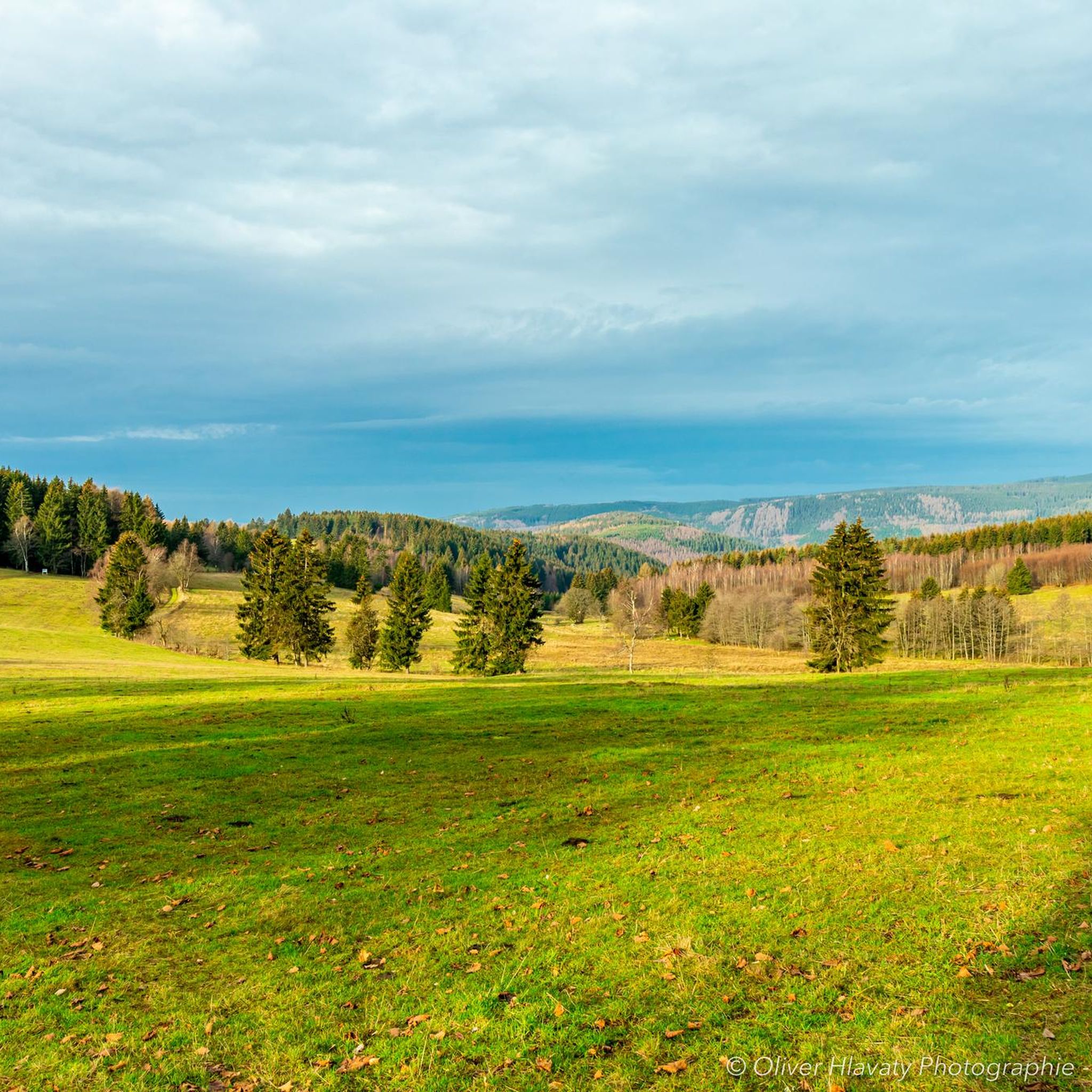
Here at 978 m you have a really great all-round view of other peaks in the Thuringian Forest and the Rhön, up to the Ettersberg near Weimar and Oberhof. With very good visibility, such as winter inversion weather conditions, the view extends to the Brocken in the Harz Mountains, to the Schneeberg (Fichtelgebirge) and to the western Ore Mountains. You can also see the “Wilde Gera” (A 71) motorway bridge, the largest arched bridge in Germany with a span of 252 m. https://schneekopf.eu/ And if you want, you can crack the 1000 meter mark here on the observation tower for three euros. Diligence also has its price.
56
2
Frequently Asked Questions
What are the most popular mountain peaks and viewpoints around Bermbach?
Visitors frequently enjoy the Schneekopf Summit and Observation Tower, which offers magnificent panoramic views and allows you to exceed 1,000 meters in elevation. Another highly rated spot is Plänckner's viewpoint (Großer Beerberg), known for its far-reaching vistas over Suhl and, on clear days, extending to the Rhön mountains and towards Coburg.
Are there family-friendly hiking options among the mountain peaks near Bermbach?
Yes, several spots are considered family-friendly. The Schneekopf Summit and Observation Tower is a great destination for families, offering an engaging experience with its tower. Additionally, the Highest Point of the Rennsteig is easily accessible from nearby parking lots, making it suitable for families.
What kind of historical sites can be found on the mountain peaks around Bermbach?
The region offers interesting historical insights, particularly at Rosenkopf (938 m) – Boundary Stones on the Rennsteig. Here, you can explore numerous boundary stones, some dating back to the 16th century, which mark former sovereign territories and tell the history of the Rennsteig trail.
Where can I find refreshments or accommodation near the mountain peaks?
The Neue Gehlberger Hütte on Schneekopf is the highest-altitude serviced hut in Thuringia. It offers a cozy hiking hostel with shared rooms and a restaurant serving traditional Thuringian cuisine, making it an excellent stop for hikers.
What is the highest point in the Thuringian Forest, and what can I expect there?
The highest peak in the Thuringian Forest is the Großer Beerberg, at 983 meters. While the summit itself is a protected moor biotope and doesn't offer extensive views, the area around it, particularly Plänckner's viewpoint, provides exceptional vantage points.
Are there opportunities for road cycling near the mountain peaks around Bermbach?
Yes, the area around Bermbach offers several road cycling routes. For example, you can explore routes like the 'View of Hoher Stein – View of the ski jump loop from Zella-Mehlis West' or the 'Haseltal Riverbank – Schwarzatal Cycle Path loop from Benshausen'. You can find more details on these and other routes in the Road Cycling Routes around Bermbach guide.
What mountain biking trails are available in the Bermbach region?
Mountain bikers can enjoy diverse trails, including the 'Ohra Reservoir – View of Ohratalsperre loop from Zella-Mehlis West' and the 'Highest Point of the Rennsteig – Lütsche Reservoir loop from Zella-Mehlis West'. Discover more options in the MTB Trails around Bermbach guide.
Can I go running on trails near the mountain peaks?
Absolutely. There are various running trails, such as the 'Rupprasen Meadow – View of Hoher Stein loop from Bermbach' and the 'Shelter "Stein 16" – Rüti-Hüttle loop from Bermbach'. For a comprehensive list of routes, refer to the Running Trails around Bermbach guide.
What makes the Rennsteig trail significant in this region?
The Rennsteig is a historic ridge trail that traverses the Thuringian Forest. It features significant points like the Highest Point of the Rennsteig, marked by a hollow pole, which is a popular photo opportunity. The trail also passes by historical boundary stones, as seen at Rosenkopf.
What kind of views can I expect from the Schneekopf?
From the Schneekopf Summit and Observation Tower, you can enjoy magnificent panoramic views of the entire surrounding landscape. The observation tower allows you to reach an elevation exceeding 1,000 meters, providing an even more expansive vista across the Thuringian Forest.
Are there any specific tips for visiting Plänckner's viewpoint?
When visiting Plänckner's viewpoint, located directly on the Rennsteig trail, it's an ideal spot for a picnic. On clear days, the views are exceptional, reaching as far as the Rhön mountains and towards Coburg. There's also a commented panorama picture on the wooden viewing platform to help you identify landmarks.
What is the second-highest peak in the Thuringian Forest?
The Schneekopf is the second-highest elevation in Thuringia, standing at 978 meters. It is well-known for its observation tower, which allows visitors to experience views from over 1,000 meters above sea level.
Most popular attractions around Bermbach

Get inspired with the komoot mobile app


Explore more
See even more amazing summits around Bermbach with these guides:
