The best mountain hikes around Groß-Rohrheim
4.0
(2)
15
hikers
3
hikes
Mountaineering around Groß-Rohrheim offers access to varied terrain within the Kreis Bergstraße region, characterized by its rolling hills, forested slopes, and rocky outcrops. The area provides opportunities for ascents with panoramic views over the Odenwald valleys. These routes often traverse natural landscapes, including features like the Felsenmeer, and lead to historical points of interest.
Best mountaineering routes around Groß-Rohrheim
- The most popular mountaineering route is Felsenmeer, Felsberg – Felsberg loop from Bensheim-Auerbach, a difficult 12.4 miles (20.0 km) trail…
Last updated: July 15, 2026
4.5
(2)
7
hikers
20.7km
06:25
730m
730m
Hard mountaineering route. Very good fitness required. Sure-footedness, sturdy shoes and alpine experience required.
4
hikers
9.70km
03:14
440m
440m
Moderate mountaineering route. Good fitness required. Mostly accessible paths. Sure-footedness required.

Sign up for free
3.0
(1)
2
hikers
13.8km
03:57
320m
320m
Moderate mountaineering route. Good fitness required. Easily-accessible paths. Suitable for all skill levels.
1
hikers
Moderate mountaineering route. Good fitness required. Easily-accessible paths. Suitable for all skill levels.
2
hikers
15.3km
04:22
350m
350m
Moderate mountaineering route. Good fitness required. Easily-accessible paths. Suitable for all skill levels.
Our route recommendations are based on thousands of hikes, rides, and runs completed by other people on komoot.
Start today with a free account
Your next adventure awaits.
Login or Signup
Tips from the Community

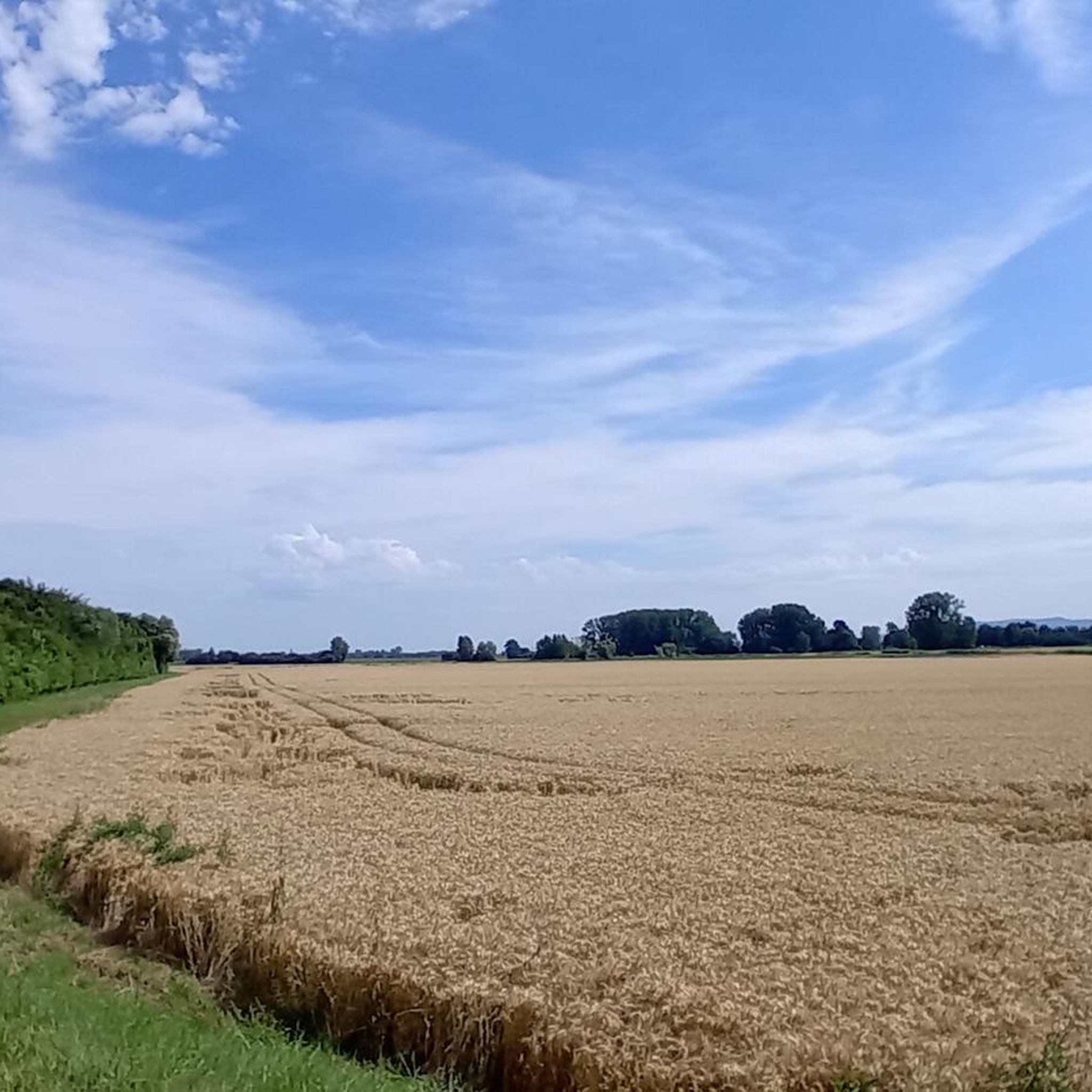
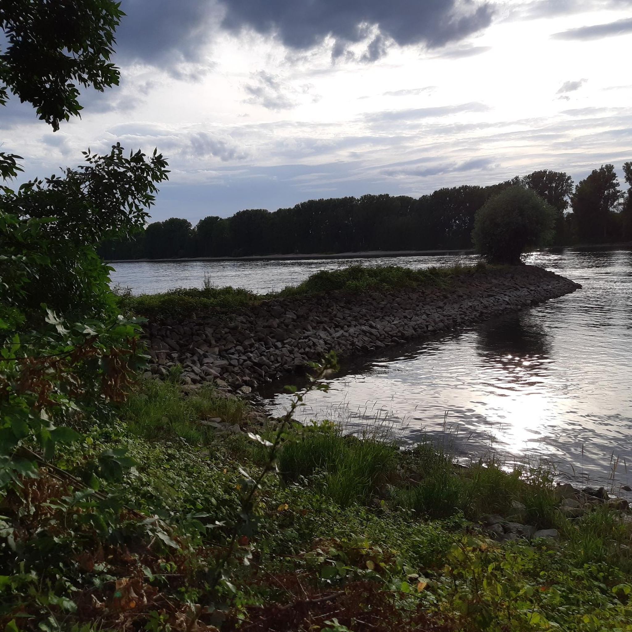
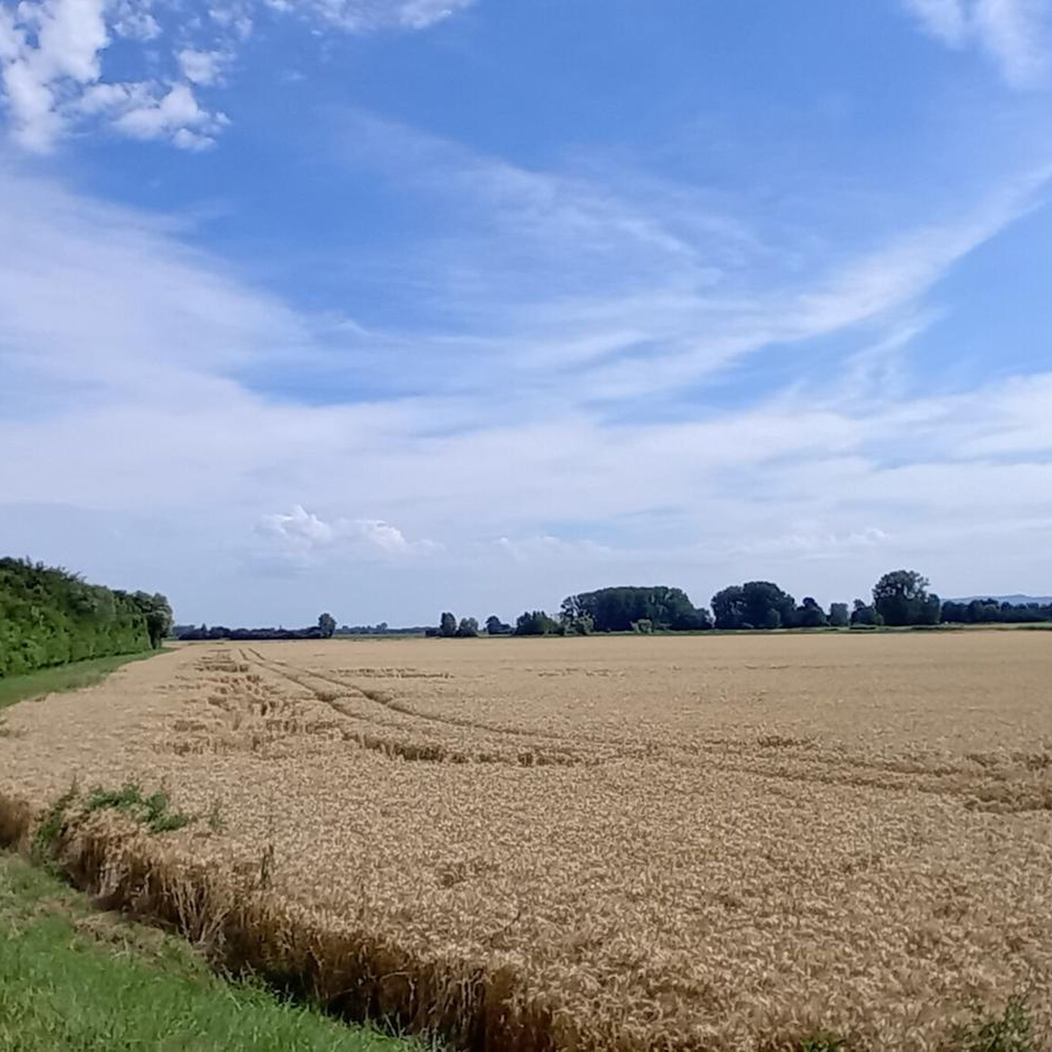
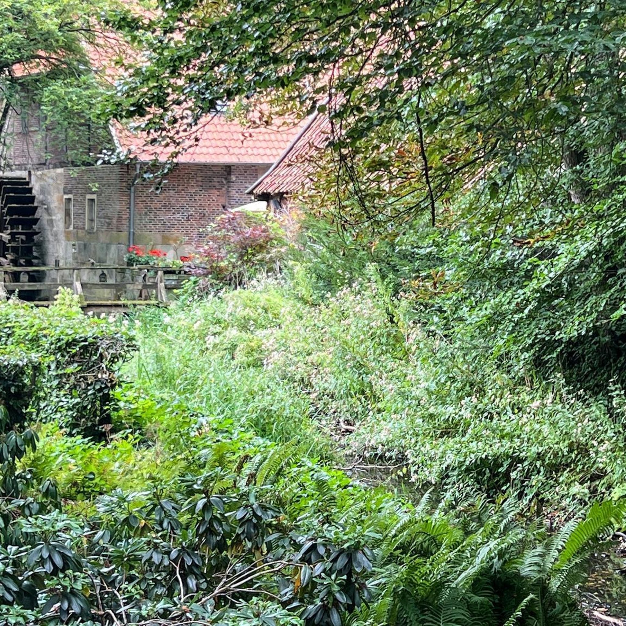
Stopover: Walderdorfer Hof, best coffee: Café de Soleil Lunch: at the intergenerational center, Klostergasse
0
0

Simply impressive, created by nature to admire.
0
0

The historic water pump is reminiscent of the time when the water supply of small Odenwald villages was still provided by communal wells and pumps. As a testament to local history, it provides an impression of the former daily life of the inhabitants and stands today as a small technical monument by the wayside.
4
0
From this viewpoint, a picturesque view opens up over the typical valleys of the Odenwald. Forested ridges, gentle slopes, and expansive landscapes shape the panorama and convey an impression of the originality of this low mountain range region.
5
0
The valley view in Steigerts is one of the most beautiful viewpoints in the Vorderer Odenwald. At an altitude of around 410 meters, it offers a wide view over the Beerbachtal valley, the wooded mountain ranges of the Odenwald, and the Rhine plain.
6
0
A guided tour is worthwhile in Bensheim. The best coffee is served at "Café de Soleil", Am Rinnentor 13
0
0

A picturesque old town with a multitude of beautiful half-timbered houses.
3
0
Here the Lauter river flows under the central bridge with its two sculptures.
2
1
Frequently Asked Questions
How many mountaineering routes are available around Groß-Rohrheim?
There are at least 5 distinct mountaineering routes detailed in this guide, offering a range of experiences from moderate to difficult. These routes explore the varied terrain of the Kreis Bergstraße region.
What kind of terrain can I expect on mountaineering routes near Groß-Rohrheim?
The routes around Groß-Rohrheim are characterized by rolling hills, forested slopes, and rocky outcrops, particularly around the Felsenmeer. You'll find a mix of forest paths and more challenging rocky sections, often leading to panoramic views over the Odenwald valleys.
Are there any moderate mountaineering routes suitable for those with some experience?
Yes, there are several moderate routes. For example, the Felsenmeer Felsberg – Felsberg loop from Felsberg bei Reichenbach is a moderate 9.4 km path exploring the Felsenmeer area. Another option is the View of the Odenwald Valleys – Historic Water Pump Steigerts loop from Bickenbach, which is 13.1 km long.
What are the typical durations for mountaineering routes in this area?
Route durations vary depending on length and difficulty. Moderate routes like the Felsenmeer Felsberg – Felsberg loop from Felsberg bei Reichenbach typically take around 3 hours 10 minutes, while more challenging routes such as the Felsenmeer, Felsberg – Felsberg loop from Bensheim-Auerbach can take over 6 hours.
Are there circular mountaineering routes around Groß-Rohrheim?
Yes, all the routes highlighted in this guide are circular, meaning you'll end your journey back at your starting point. This includes popular options like the Hemsberg Bismarck Tower – Bensheim Market Square loop from Bensheim.
Are the mountaineering routes around Groß-Rohrheim suitable for families?
While some routes are challenging, there are moderate options that can be suitable for families with older children who are accustomed to hiking. The Felsenmeer Felsberg – Felsberg loop from Felsberg bei Reichenbach, for instance, offers a manageable distance and elevation gain for active families.
Can I bring my dog on the mountaineering trails?
Generally, dogs are welcome on most trails in the region, but it's always recommended to keep them on a leash, especially in nature reserves or areas with wildlife. Some routes, particularly those with rocky sections like the Felsenmeer, might be more challenging for dogs.
What interesting landmarks or viewpoints can I find along these routes?
The region is rich in points of interest. You can visit the Hemsberg Bismarck Tower, which offers great views, or explore the historic Heiligenberg Castle. The View over the Rhine Plain from Melibokus is another notable viewpoint.
Are there any huts or places to rest along the mountaineering routes?
Yes, you can find several huts and shelters in the area. The Kirchberg Hut, Bensheim and the Paul Forster Hut are examples of places where you might find refreshments or a place to rest during your tour.
What do other mountaineers enjoy the most about mountaineering in Groß-Rohrheim?
The area is highly rated by the komoot community, with an average score of 4.0 stars. Reviewers often praise the varied terrain, the scenic views over the Odenwald, and the mix of forested paths and rocky formations that make for an engaging mountaineering experience.
Are there any routes that include historical sites?
Yes, some routes incorporate historical points of interest. For example, the Ascent to Alsbach Castle – Heiligenberg Castle loop from Orbishöhe von Auerbach und Zwingenberg leads past significant historical landmarks like Alsbach Castle and Heiligenberg Castle.
Most popular routes around Groß-Rohrheim
Most popular attractions around Groß-Rohrheim

Get inspired with the komoot mobile app


Explore more
Browse the best Mountain Hikes & Routes in other regions.
