The best mountain hikes around Thyrnau
18
hikers
2
hikes
Mountaineering around Thyrnau offers routes through the southern foothills of the Bavarian Forest, characterized by diverse woodlands, valleys, and varying elevations. The region is situated approximately 500 meters above the Danube, providing access to the Donau-Wald area. This landscape features a mix of natural beauty and challenging terrain suitable for active outdoor pursuits.
Best mountaineering routes around Thyrnau
- The most popular mountaineering route is Vichtenstein Castle – Haugstein Summit (895 m) loop from Vichtenstein, a 6.1 miles (9.8 km)…
Last updated: August 25, 2026
7
hikers
9.76km
02:59
340m
350m
Moderate mountaineering route. Good fitness required. Easily-accessible paths. Suitable for all skill levels.
4
hikers
Hard mountaineering route. Great for any fitness level. Sure-footedness, sturdy shoes and alpine experience required.

Sign up for free
4
hikers
4.25km
01:19
130m
130m
Hard mountaineering route. Great for any fitness level. Sure-footedness, sturdy shoes and alpine experience required.
3
hikers
14.4km
03:57
240m
240m
Moderate mountaineering route. Good fitness required. Easily-accessible paths. Suitable for all skill levels.
Our route recommendations are based on thousands of hikes, rides, and runs completed by other people on komoot.
Start today with a free account
Your next adventure awaits.
Login or Signup
Popular around Thyrnau



Tips from the Community

Nestled between the forest and the rushing Ilz River lies this charming stop on the Ilztalbahn railway – a relic dating back to 1892. When you dismount your bike here, you'll feel a touch of railway history: once used for transporting timber, today it's a popular excursion train that rolls over bridges and through valleys. It's the perfect spot for a photo along the "beer culture on two wheels" route. https://ilztalbahn.eu/fahrplaene-ilztalbahn
0
0

Beautiful memorial in the middle of the forest
1
0


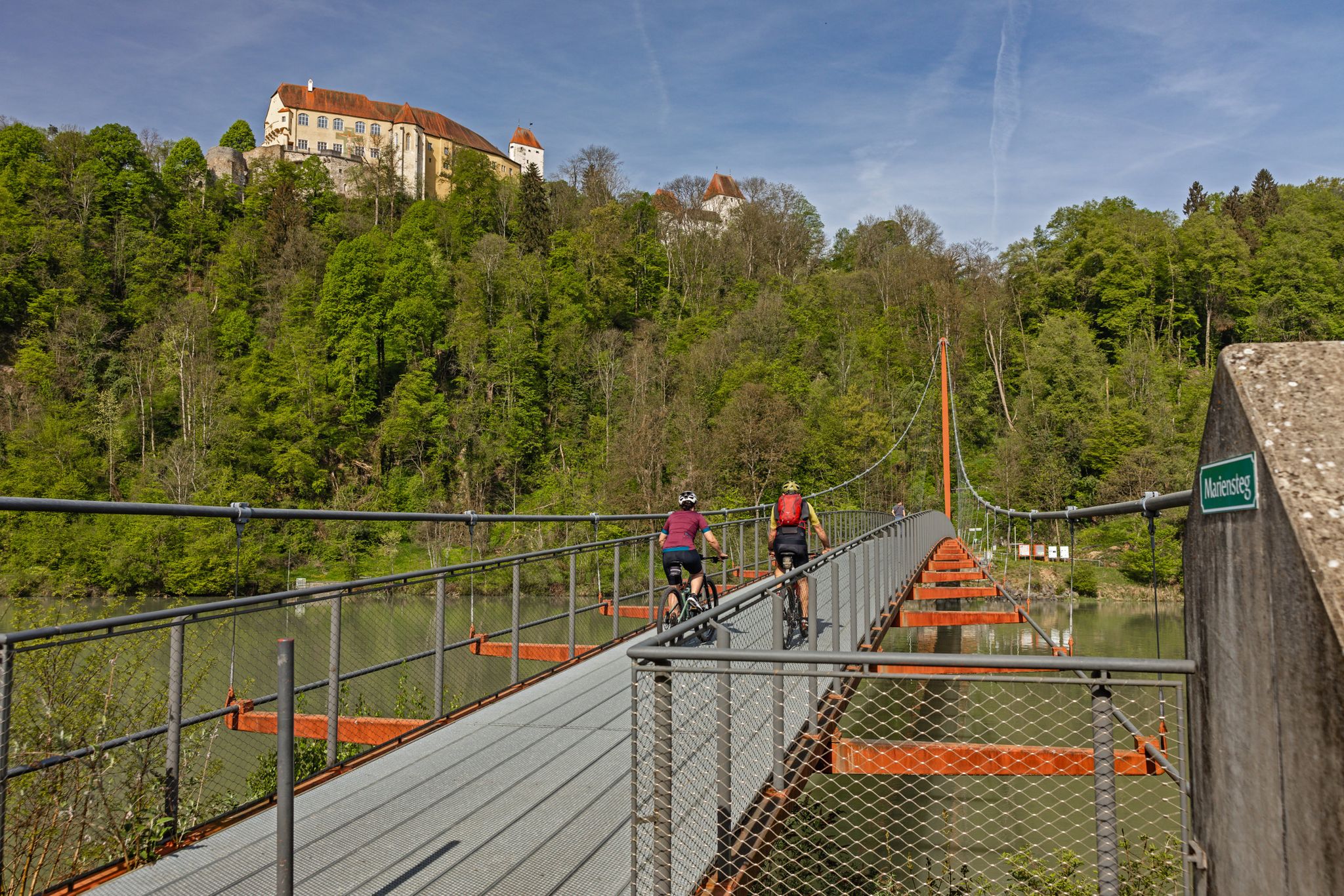
Many beautiful hikes start from here, and the panoramic view is also available - Viechtenstein is located at this spot.
1
0

The view over the dam onto the water, you just want to go on a boat trip here - it's so beautiful.
12
0
Train service only on Saturdays, Sundays, and public holidays. More information here: https://ilztalbahn.eu/fahrplaene-ilztalbahn/
10
0

At the western end of the dam there is a beautiful lawn where you can swim. If you cross the dam and follow the narrow hiking path on the east side after the turnstile for about 1km, you will reach a small meadow. There you can also sunbathe naked in peace. When I visited in August 2024 there were only a few visitors and it was wonderfully quiet and relaxed.
1
0

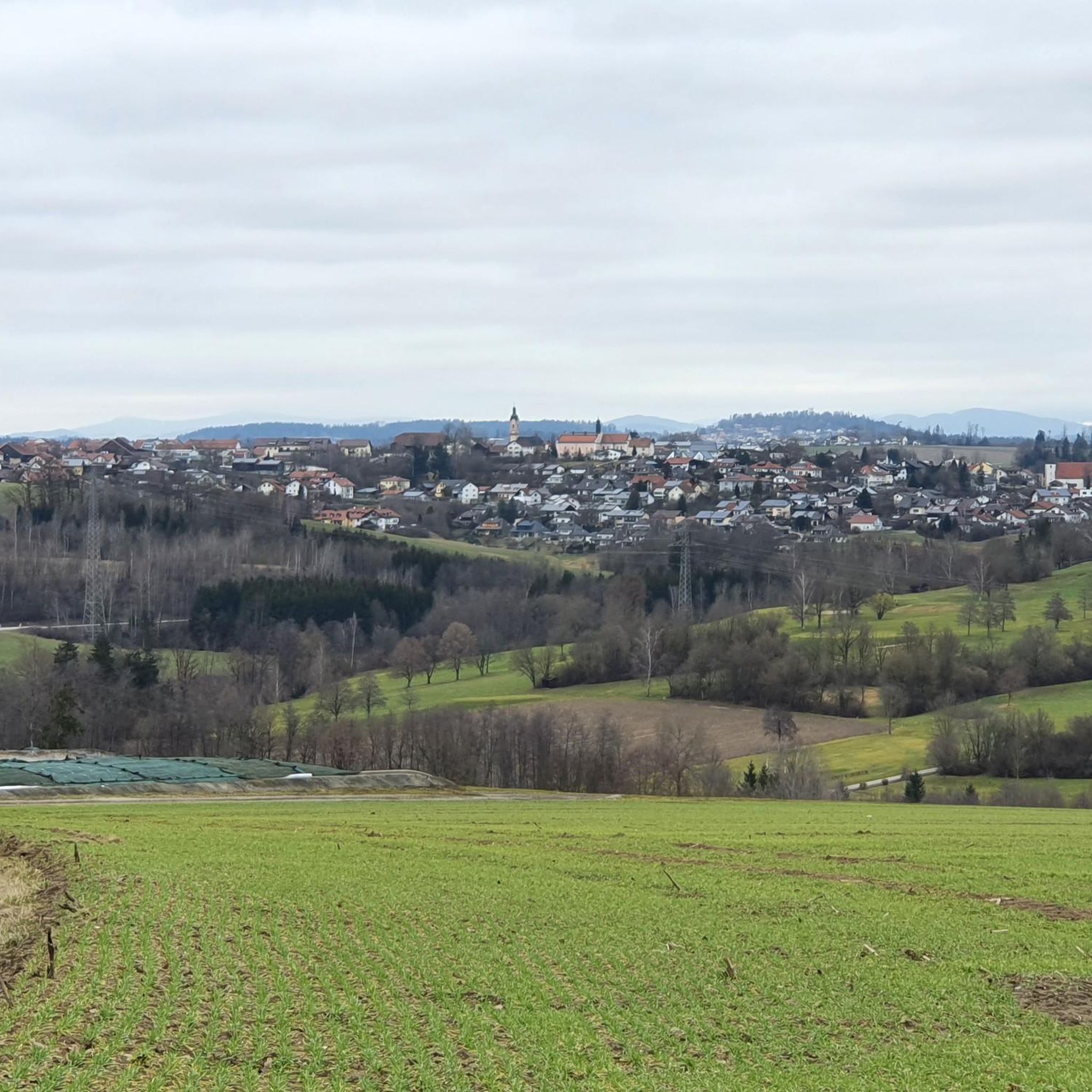
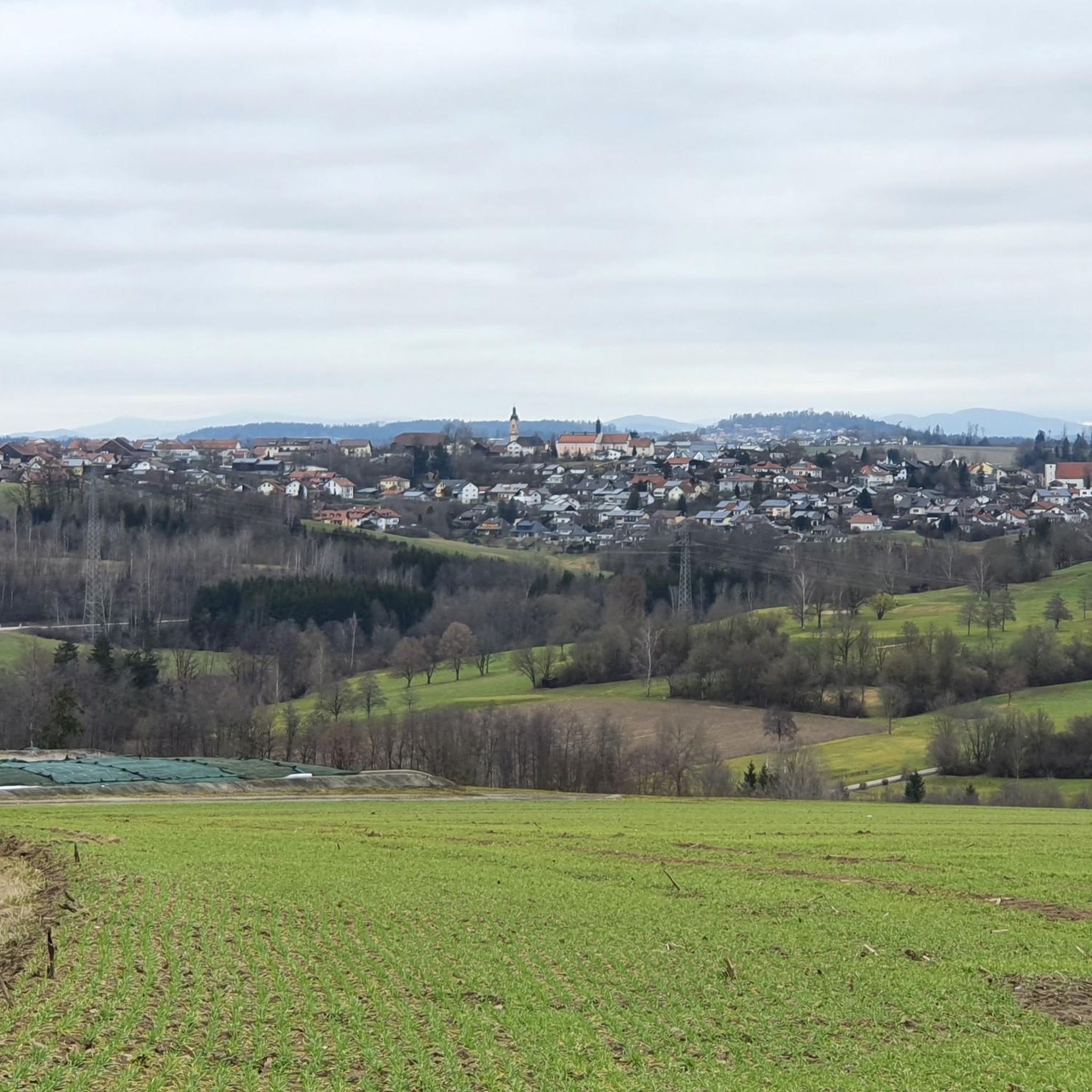
View of Hauzenberg and, in clear weather, as far as the Alps.
0
0
Frequently Asked Questions
What kind of mountaineering routes can I expect around Thyrnau?
Mountaineering around Thyrnau primarily involves routes through the southern foothills of the Bavarian Forest. You'll find diverse woodlands, river valleys, and varying elevations, offering a mix of scenic beauty and challenging terrain. The region is known for its invigorating natural environment, being a climatic health resort.
Are there any challenging mountaineering routes in the Thyrnau area?
Yes, there are routes that require good fitness. For example, the Oberfrauenwald Observation Tower – Ascent to the observation tower loop from Oberfrauenwald is classified as difficult, featuring significant elevation gain to reach the observation tower and offering panoramic views.
Can I find circular mountaineering routes near Thyrnau?
Absolutely. Many routes in the area are designed as loops, allowing you to start and end at the same point. An example is the Vichtenstein Castle – Haugstein Summit (895 m) loop from Vichtenstein, which takes you to the Haugstein Summit and back.
What natural attractions can I see along the mountaineering routes?
The region is rich in natural beauty. You can explore the unique confluence of three rivers at the Three Rivers Corner (Ortspitze) in nearby Passau, or visit the Haugstein Summit (895 m) for expansive views. The Oberilzmühle Reservoir is also a notable natural feature you might encounter.
Are there any historical landmarks or points of interest along the trails?
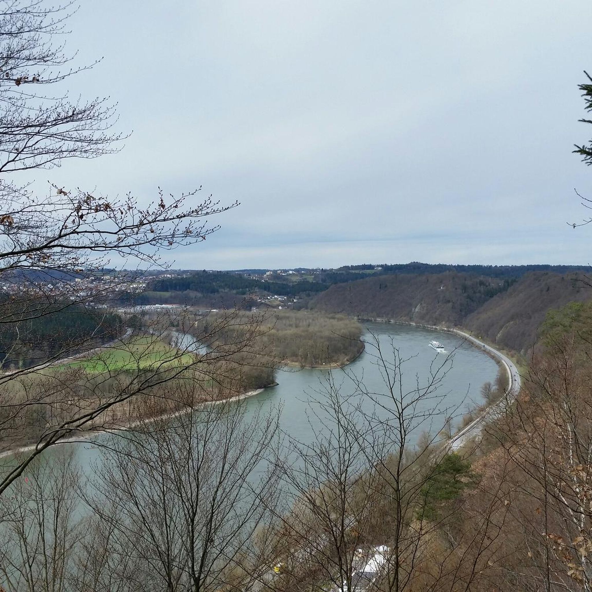
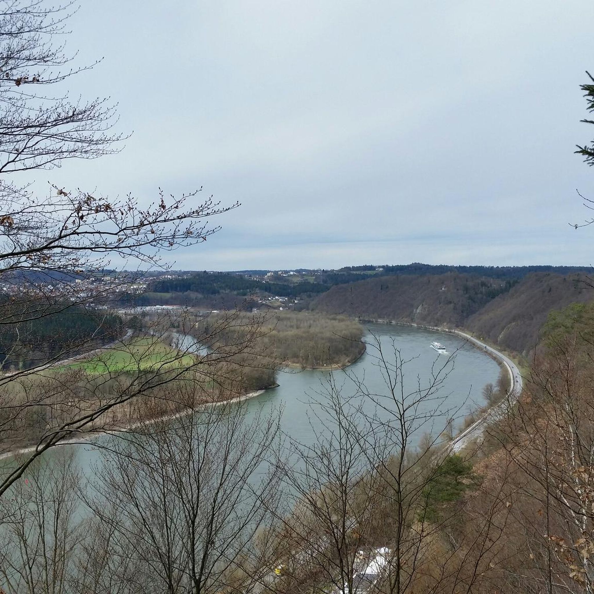
Yes, the area around Thyrnau is dotted with historical sites. You might come across impressive structures like the Oberhaus Fortress or the ruins of Hals Castle. The panoramic view with Veste, Ortspitze, and the confluence of the Ilz and Danube offers a glimpse into the region's history and geography.
What is the typical duration for mountaineering routes in Thyrnau?
Route durations vary depending on difficulty and length. For instance, the moderate Vichtenstein Castle – Haugstein Summit (895 m) loop from Vichtenstein typically takes around 3 hours, while the longer Oberilzmühle Reservoir – Ilz Crossing at Fischhaus loop from Fischhaus can take nearly 4 hours.
Are there routes that offer views of the Danube River?
Thyrnau is situated approximately 500 meters above the Danube, providing access to the Donau-Wald region. While specific mountaineering routes might not directly follow the river, the proximity means you can often find viewpoints or trails that offer impressive vistas of the Danube valley, especially near Passau where the Danube, Inn, and Ilz rivers converge.
What are the elevation gains like on mountaineering routes in Thyrnau?
The routes in Thyrnau, being in the Bavarian Forest foothills, feature varying elevations. You can expect significant ascents; for example, the Vichtenstein Castle – Haugstein Summit (895 m) loop involves over 340 meters of elevation gain, providing a good workout for mountaineers.
Is Thyrnau suitable for winter mountaineering?
While the guide focuses on general mountaineering, the region does offer winter activities. Thyrnau and its district Kellberg are recognized as a climatic health resort, and during winter, there are opportunities for winter hiking, cross-country skiing, and tobogganing, suggesting that some trails may be accessible and enjoyable in snowy conditions, though specific winter mountaineering routes would require local knowledge and preparation.
What do other mountaineers say about the routes in Thyrnau?
More than 20 mountaineers have used komoot to explore Thyrnau's varied terrain. They often appreciate the diverse woodlands, river valleys, and the challenging yet rewarding ascents that characterize the region's routes.
Are there any routes that pass by water features like reservoirs or rivers?
Yes, the Oberilzmühle Reservoir – Ilz Crossing at Fischhaus loop from Fischhaus is an excellent option. This route leads through the beautiful Ilzschleife (Ilz loop) and passes by the Oberilzmühle Reservoir, offering scenic views of the water.
How many mountaineering routes are featured in this guide for Thyrnau?
This guide highlights three top mountaineering routes around Thyrnau, each offering a unique experience through the Bavarian Forest foothills.
Most popular routes around Thyrnau
Most popular attractions around Thyrnau

Get inspired with the komoot mobile app


Explore more
Browse the best Mountain Hikes & Routes in other regions.
