The best mountain hikes around Neuweiler
5.0
(1)
6
hikers
3
hikes
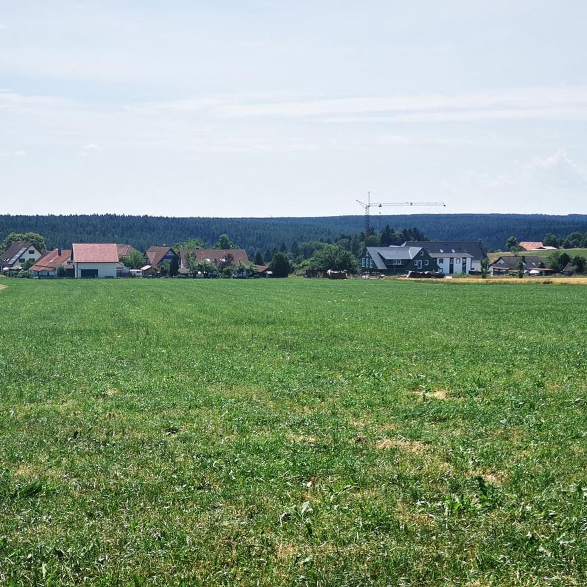
Mountaineering routes around Neuweiler are characterized by rolling hills and dense woodlands, typical of the northern Black Forest region. The terrain includes varied elevations, with paths winding through forests and open areas. Features such as historical castle ruins and natural rock formations are present along some routes.
Best mountaineering routes around Neuweiler
- The most popular mountaineering route is Ascent to Zavelstein Castle – Zavelstein Castle Ruins loop from Bad Teinach-Zavelstein, a 7.4 miles (11.8 km) trail that takes 3…
Last updated: July 2, 2026
4
hikers
Moderate mountaineering route. Good fitness required. Mostly accessible paths. Sure-footedness required.
5.0
(1)
1
hikers
Moderate mountaineering route. Good fitness required. Easily-accessible paths. Suitable for all skill levels.
Our route recommendations are based on thousands of hikes, rides, and runs completed by other people on komoot.
Start today with a free account
Your next adventure awaits.
Login or Signup
Popular around Neuweiler
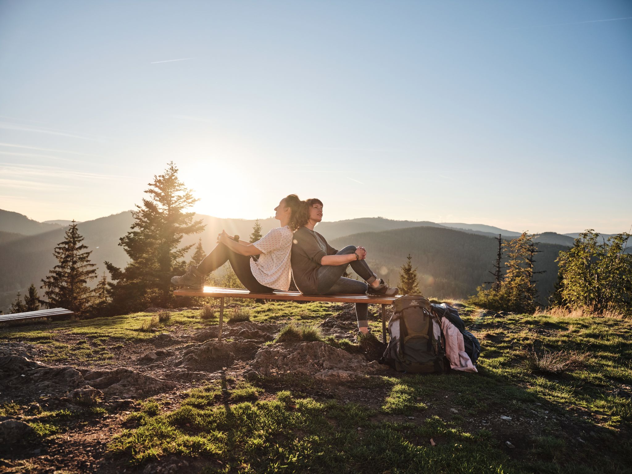
Hiking the Süden – between Black Forest, Lake Constance and Swabian Alb
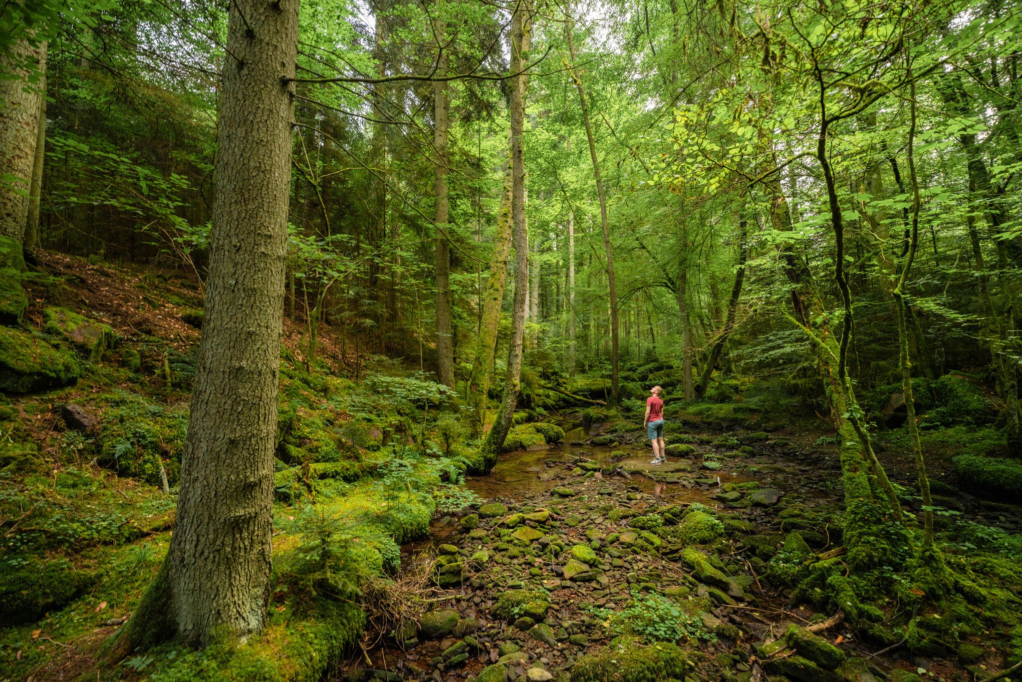
Superb adventures – the best hiking Tours in the Northern Black Forest

Hiking in the summer resort of the Northern Black Forest
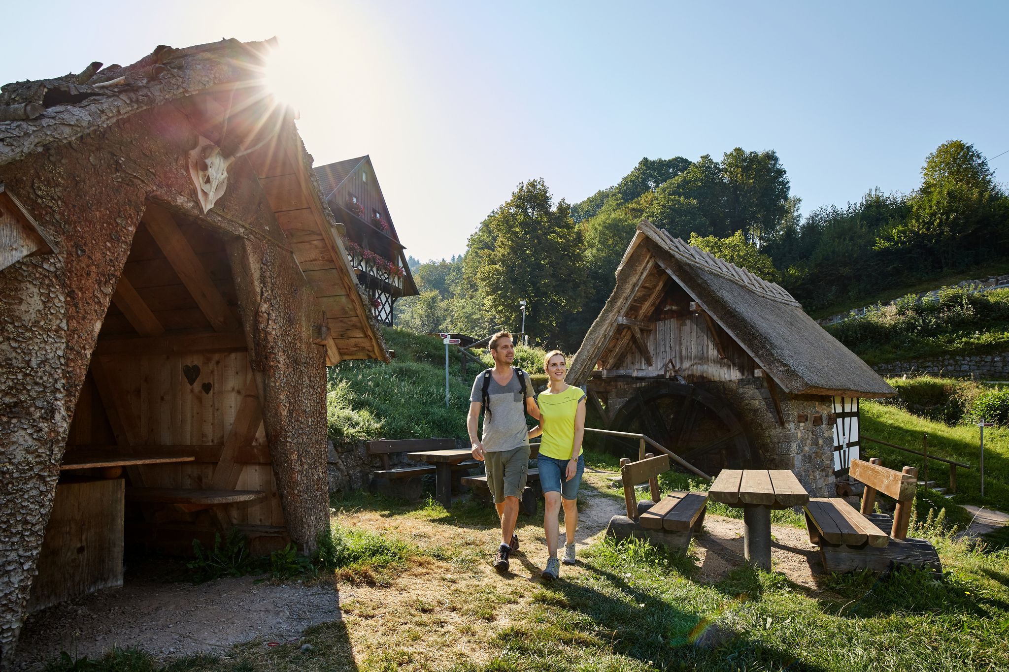
The best in the south: premium and quality hikes in Baden-Württemberg
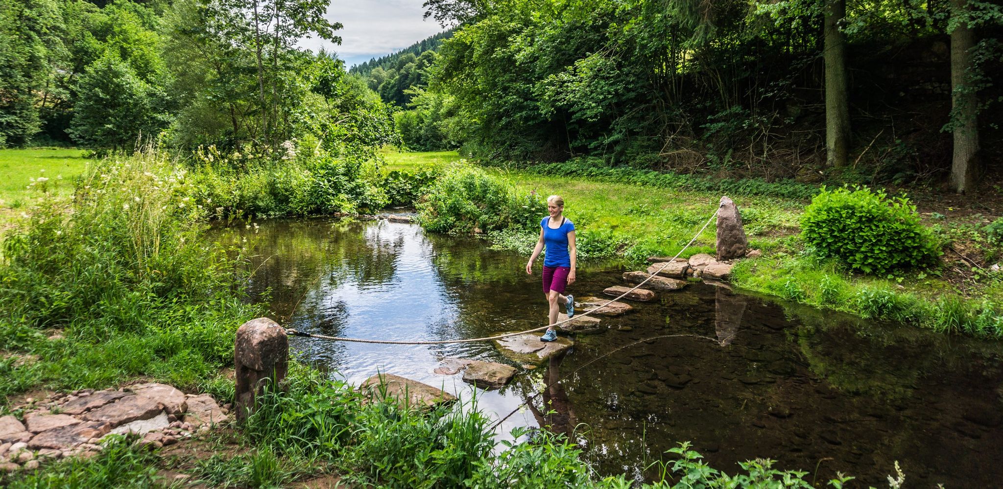
Hiking Worlds Teinachtal – a Black Forest trail paradise
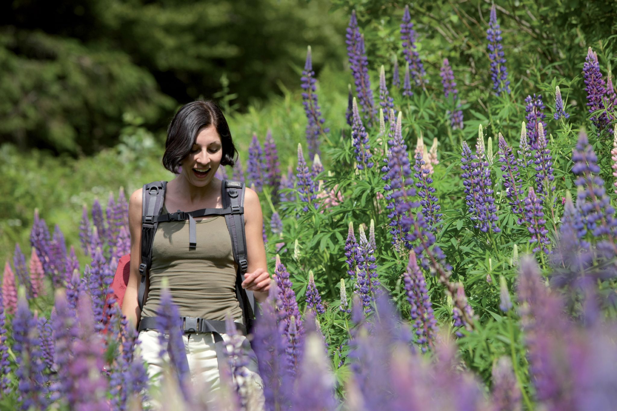
Exploring the Black Forest in Germany – fantastic trails & nature
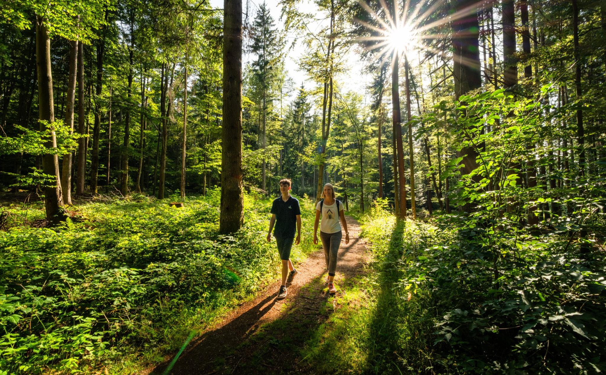
Vom Winterschlaf in die Wanderschuhe – Kurze Wanderstrecken zum Saisonstart
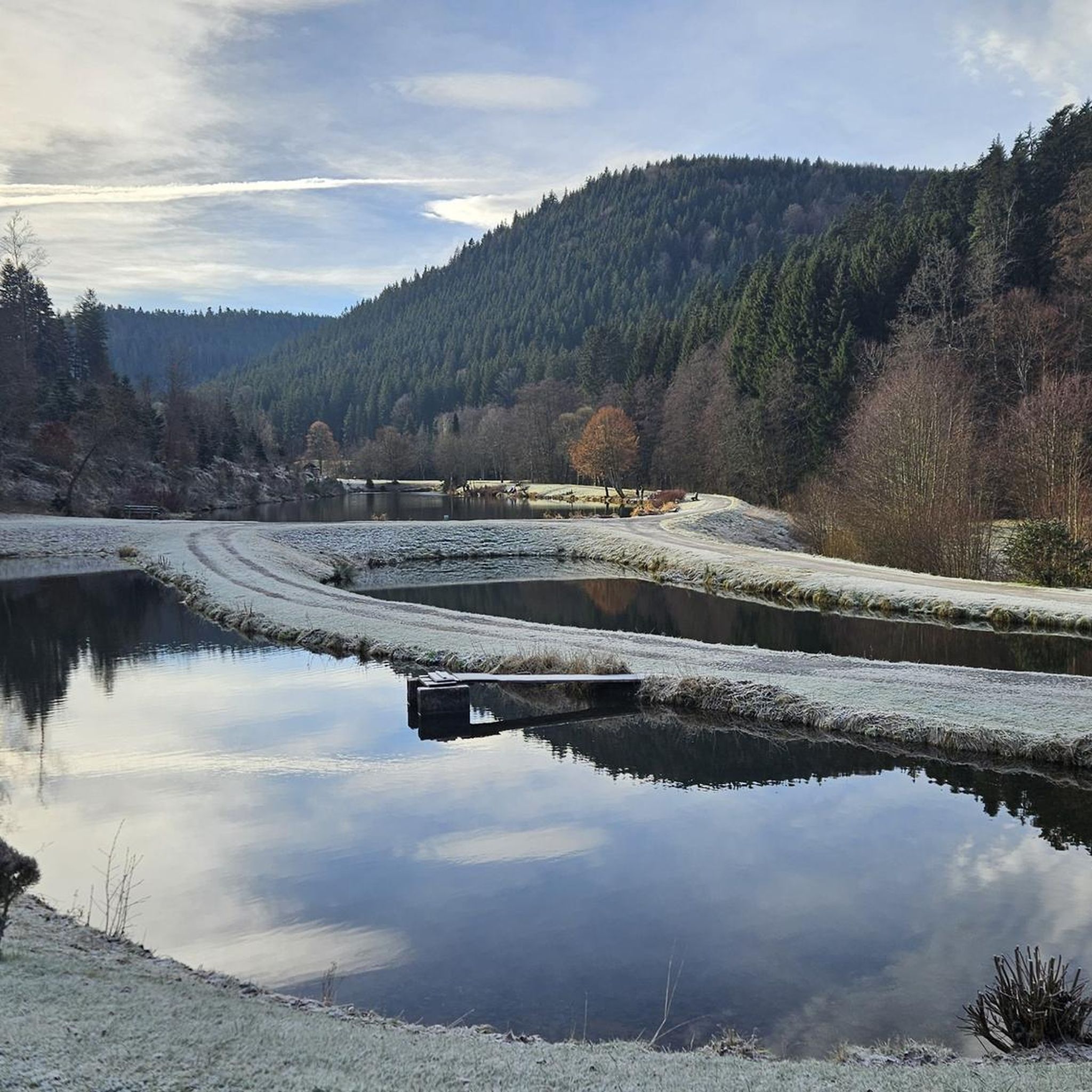
Hiking around Neuweiler
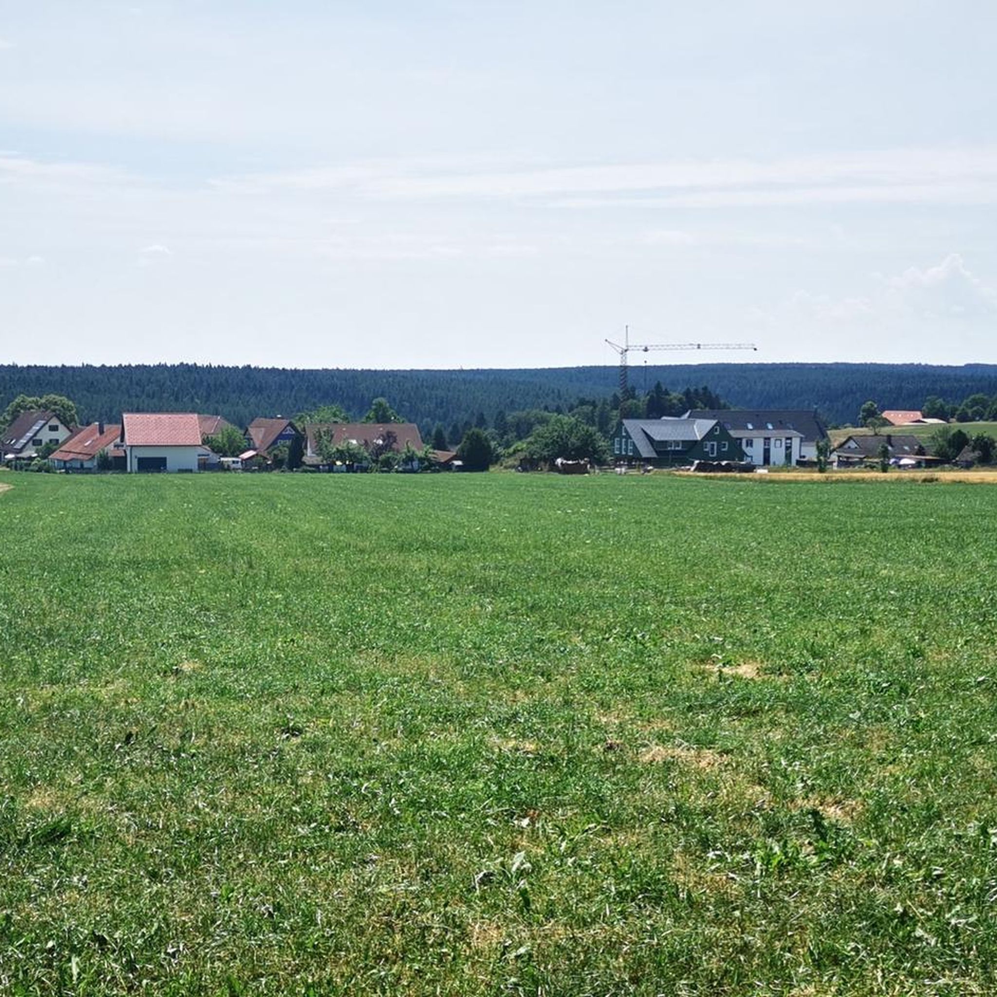
Cycling around Neuweiler
MTB Trails around Neuweiler
Other adventures around Neuweiler


Tips from the Community

Bad Teinach-Zavelstein is a town with 3,220 inhabitants (as of December 31, 2024) in the Calw district of Baden-Württemberg. The town belongs to the Northern Black Forest region. This health resort lies approximately five kilometers west of the district capital, Calw, and is, along with Bad Herrenalb, Bad Liebenzell, and Bad Wildbad, one of the four spa towns in the Calw district. Bad Teinach-Zavelstein is widely known for its crocus blossoms. On October 1, 2022, the Zavelstein district was officially designated the "Crocus Town."[2] Source: https://de.wikipedia.org/wiki/Bad_Teinach-Zavelstein
0
0
Following traditional models, the working group for local heritage preservation within the Black Forest Association has set up a blacksmith's shop at the fortified tower. This is accompanied by an exhibition providing information about the blacksmith's craft and the unique features of Zavelstein.
0
0

A beautiful, well-preserved castle ruin in a picturesque village.
1
0

The historic town hall fountain is located opposite the town hall entrance.
3
1
An old horse trough that has been converted into a fire fountain.
1
1
Zavelstein is known as the crocus town, so what could be more appropriate than a crocus fountain.
4
0
Old and beautiful half-timbered house.
2
1
Historic fountain next to the town hall.
3
0
Frequently Asked Questions
What is the typical difficulty level of mountaineering routes around Neuweiler?
The mountaineering routes featured in this guide around Neuweiler are generally rated as moderate difficulty. They involve varied elevations and terrain, suitable for those with a reasonable level of fitness.
What kind of terrain can I expect on mountaineering routes in the Neuweiler area?
Mountaineering routes around Neuweiler are characterized by rolling hills and dense woodlands, typical of the northern Black Forest region. You'll find paths winding through forests and open areas, often featuring historical castle ruins and natural rock formations.
Are there any circular mountaineering routes available?
Yes, several routes around Neuweiler are circular. For instance, the Ascent to Zavelstein Castle – Zavelstein Castle Ruins loop from Bad Teinach-Zavelstein and the Zavelstein Town Hall Fountain – Zavelstein Historic Center loop from Bad Teinach-Zavelstein are both excellent circular options.
What are some notable natural features or landmarks I might encounter?
You can explore natural rock formations like the Beilfelsen, which offers a View of the Teinach Valley from Beilfelsen. The Henry-See – Beilfelsen loop from Holzbronn specifically leads through varied terrain including the Henry-See and the Beilfelsen.
Are there historical sites to see along the mountaineering routes?
Absolutely. The region is rich in history. The Ascent to Zavelstein Castle – Zavelstein Castle Ruins loop from Bad Teinach-Zavelstein features historical castle ruins. Another route, the Zavelstein Town Hall Fountain – Zavelstein Historic Center loop from Bad Teinach-Zavelstein, explores the historic center of Zavelstein. You can also find the Historic Silver Mine Neubulach (Hella-Glück-Stollen) nearby.
What do other mountaineers enjoy most about the routes in Neuweiler?
The area is highly rated by the komoot community, with an average score of 5.0 stars. Mountaineers often praise the varied terrain, the combination of dense woodlands and open areas, and the presence of historical sites like castle ruins.
What are the typical distances of mountaineering routes around Neuweiler?
The routes in this guide vary in length. For example, the Zavelstein Town Hall Fountain – Zavelstein Historic Center loop from Bad Teinach-Zavelstein is about 4.7 miles (7.5 km), while the Henry-See – Beilfelsen loop from Holzbronn extends to 10.3 miles (16.6 km).
When is the best time of year for mountaineering in Neuweiler?
The northern Black Forest region, including Neuweiler, is generally pleasant for mountaineering from spring through autumn. The dense woodlands offer shade in warmer months, and the rolling hills are beautiful with autumn foliage. Winter mountaineering is possible, but conditions can be challenging with snow and ice, requiring appropriate gear and experience.
Are there any caves to explore near the mountaineering routes?
Yes, the region has several interesting caves. You can find the Hermit's Cave and a Cave below Beilfelsen. There's also a Small Cave in Xanderklinge for those interested in exploring more.
Can I reach the mountaineering routes by public transport?
While specific public transport details for each trailhead vary, the Neuweiler area is part of the northern Black Forest, which has some regional bus services. It's advisable to check local bus schedules for connections to towns like Bad Teinach-Zavelstein or Holzbronn, which are starting points for several routes.
Are there options for refreshments or cafes near the routes?
The routes often pass through or near small towns and villages in the Neuweiler area, such as Zavelstein. These locations typically offer opportunities for refreshments, including cafes or guesthouses where you can stop for a break.
Most popular routes around Neuweiler
Most popular attractions around Neuweiler

Get inspired with the komoot mobile app


Explore more
Browse the best Mountain Hikes & Routes in other regions.
