The best mountain hikes around Bad Teinach-Zavelstein
5.0
(2)
9
hikers
3
hikes
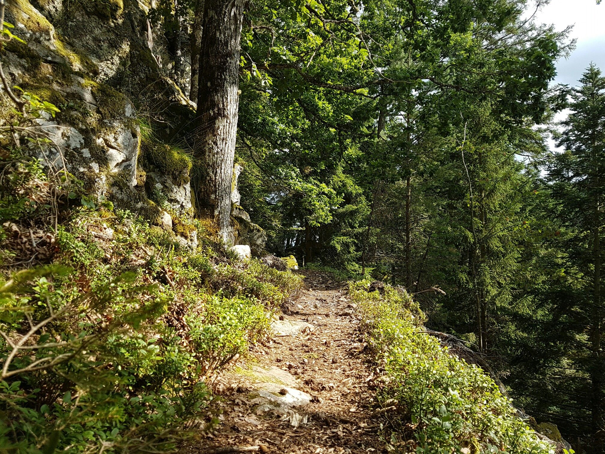
Mountaineering around Bad Teinach-Zavelstein is characterized by its location within the northern Black Forest, offering a landscape of rolling hills, deep valleys, and dense woodlands. The region features varied terrain with moderate elevation gains, suitable for exploring the natural environment. These routes often traverse forested paths, open meadows, and offer views of the Teinach valley and surrounding areas.
Best mountaineering routes around Bad Teinach-Zavelstein
- The most popular mountaineering route is Mountaineering loop from Bad Liebenzell, a 6.1 miles (9.8…
Last updated: July 16, 2026
5.0
(1)
4
hikers
9.71km
02:50
260m
260m
Moderate mountaineering route. Good fitness required. Easily-accessible paths. Suitable for all skill levels.
4
hikers
Moderate mountaineering route. Good fitness required. Mostly accessible paths. Sure-footedness required.

Sign up for free
5.0
(1)
1
hikers
Moderate mountaineering route. Good fitness required. Easily-accessible paths. Suitable for all skill levels.
Our route recommendations are based on thousands of hikes, rides, and runs completed by other people on komoot.
Start today with a free account
Your next adventure awaits.
Login or Signup
Popular around Bad Teinach-Zavelstein
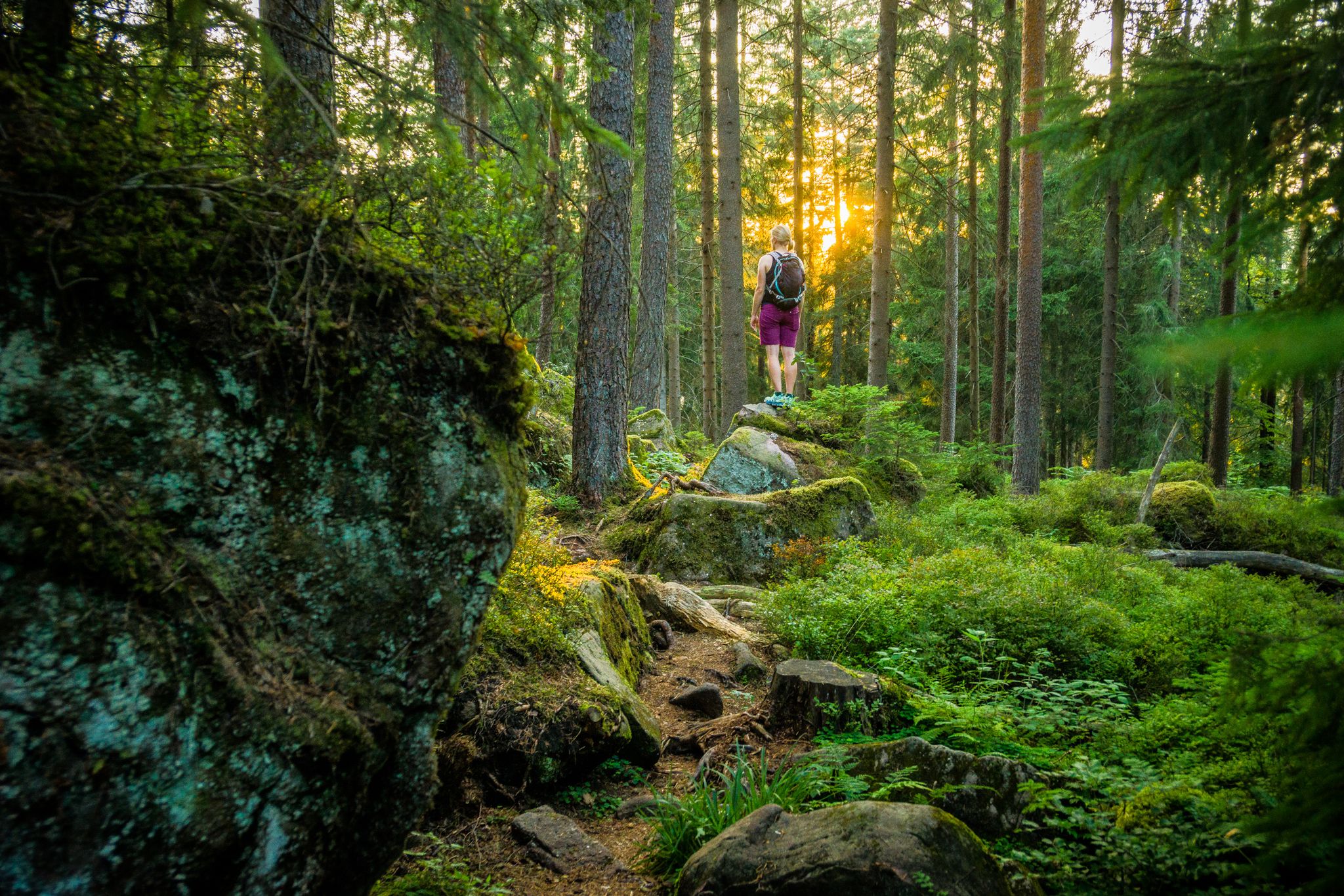
Where the forest whispers and the trails enchant
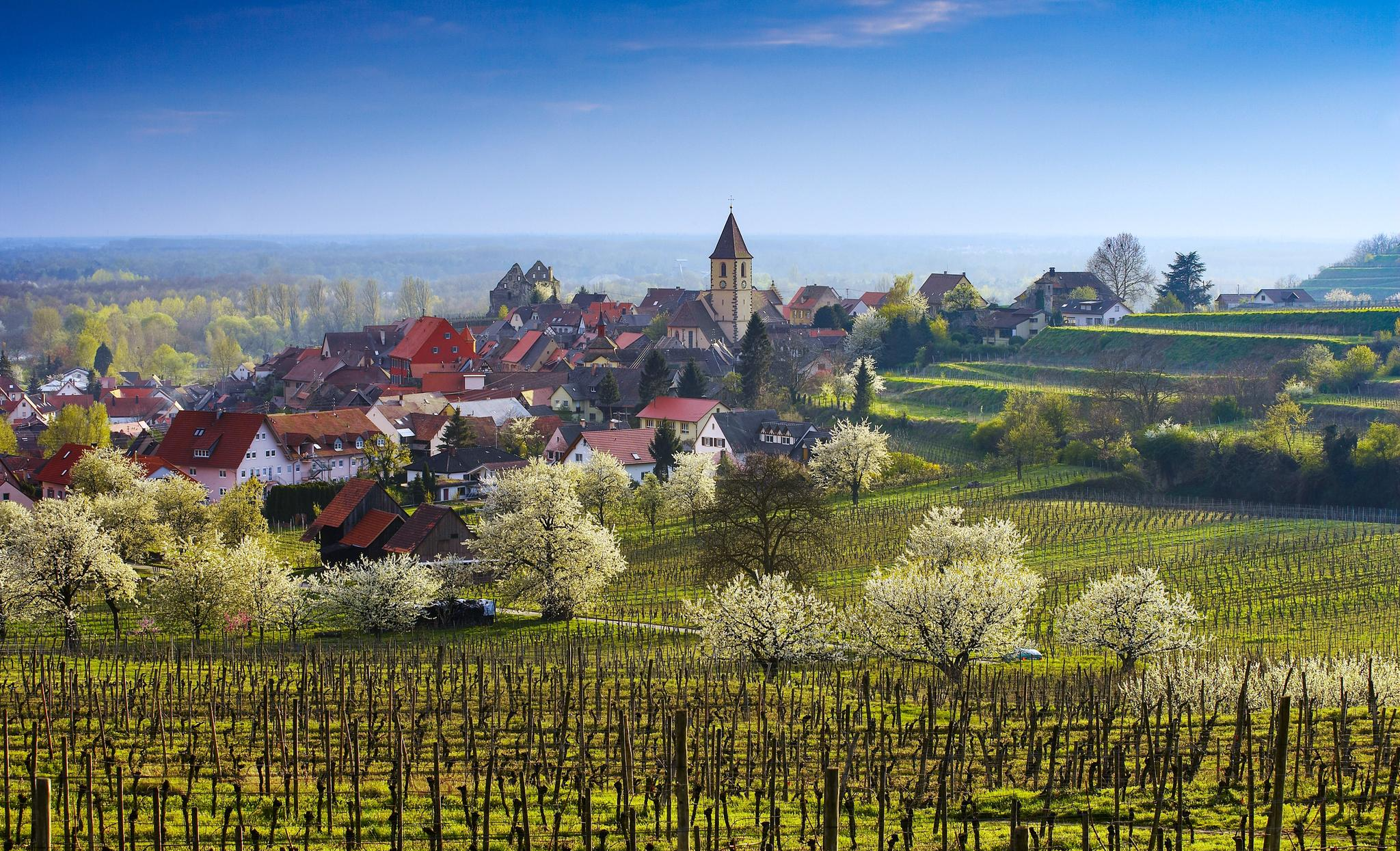
Dreaming in the valley – low-lying spring trails in the Black Forest
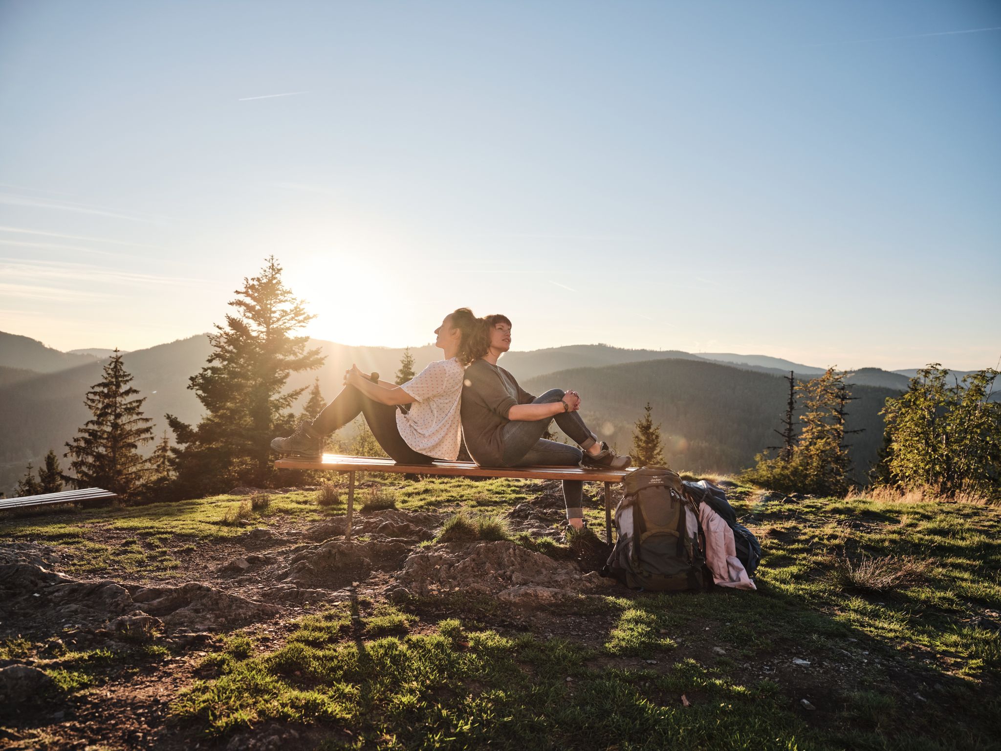
Hiking the Süden – between Black Forest, Lake Constance and Swabian Alb
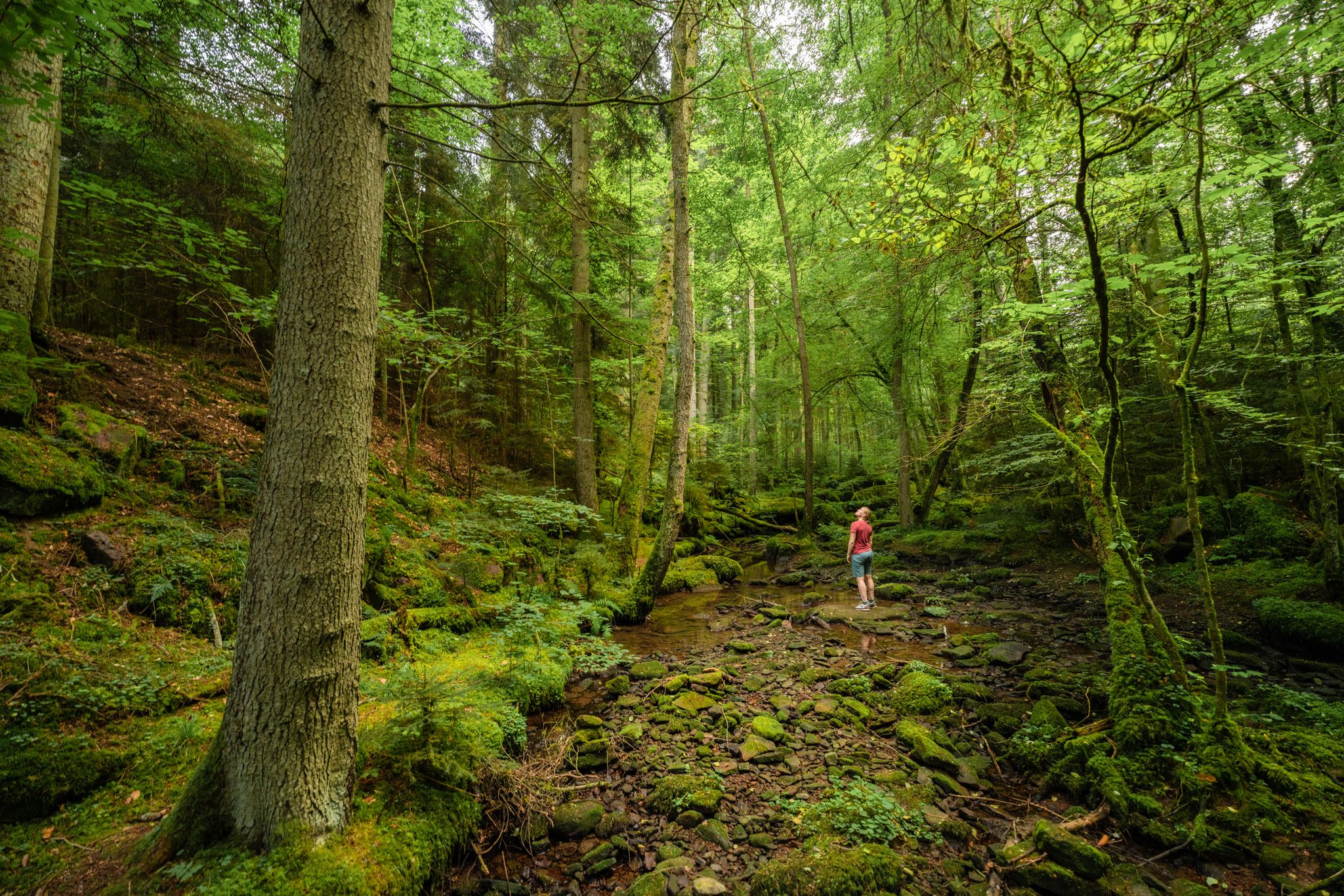
Superb adventures – the best hiking Tours in the Northern Black Forest
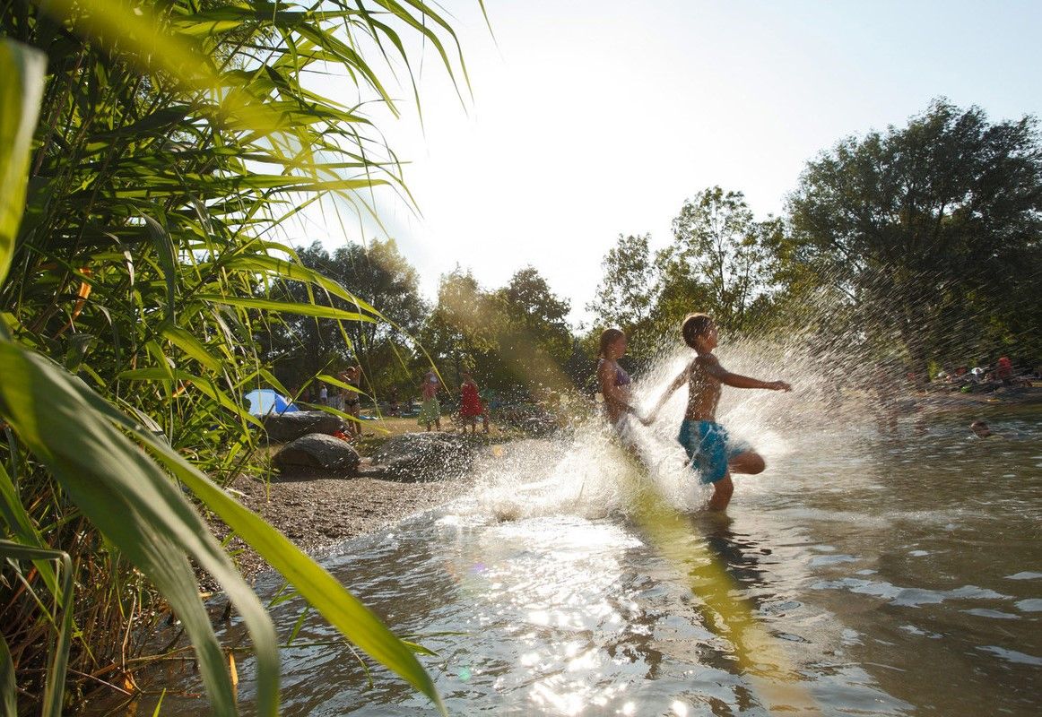
Refreshing summer hikes in Baden Wuerttemberg – bathing fun for the whole family
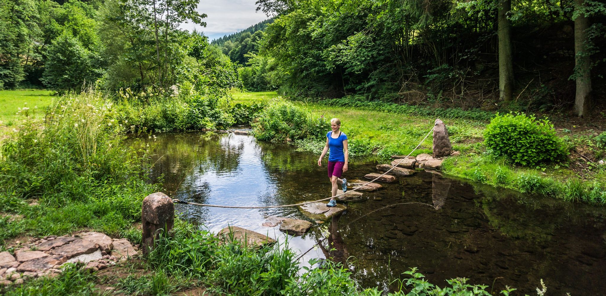
Hiking Worlds Teinachtal – a Black Forest trail paradise
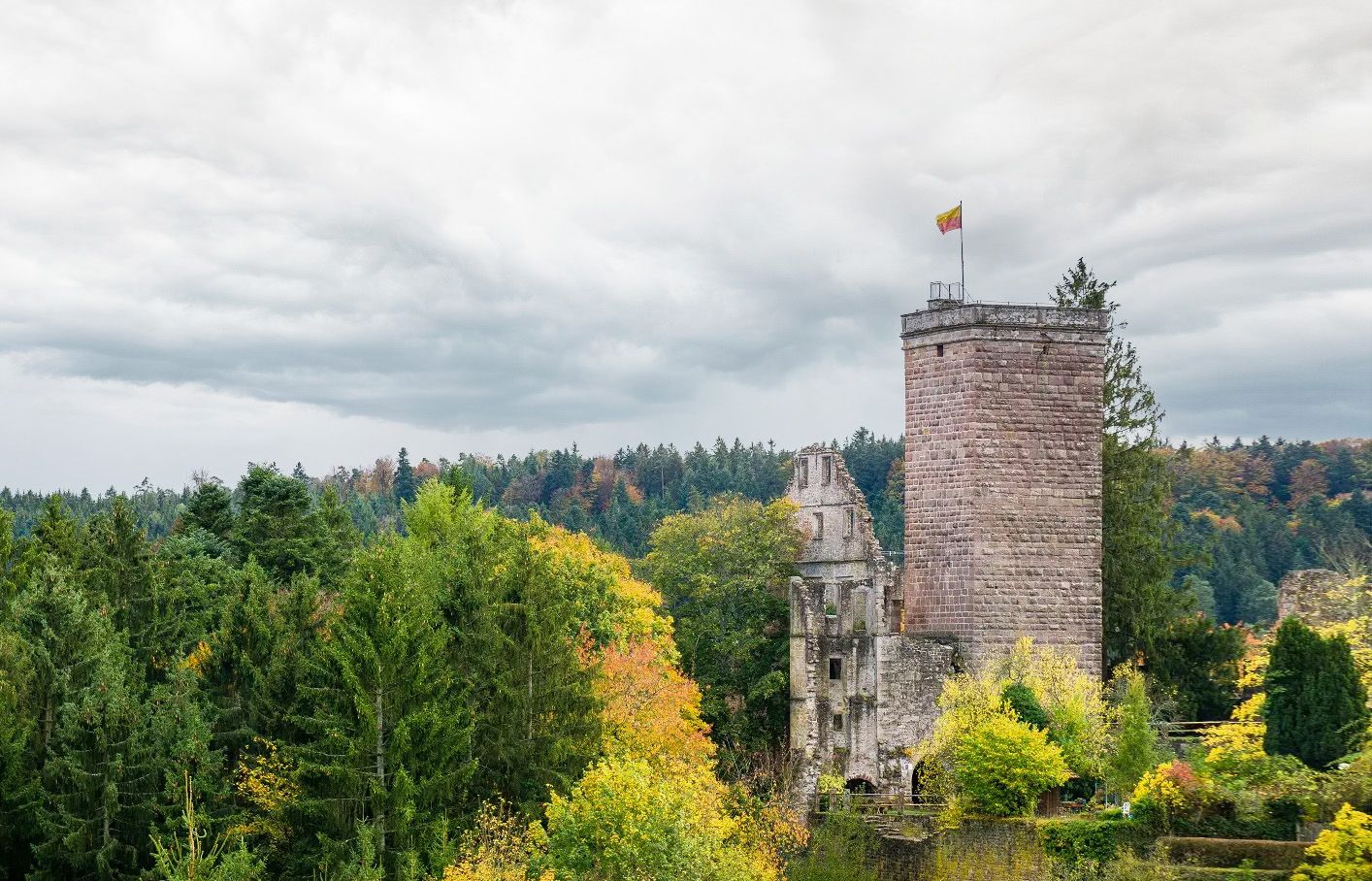
Castles, ghosts and knights – hike in Germany’s Black Forest pleasure trails
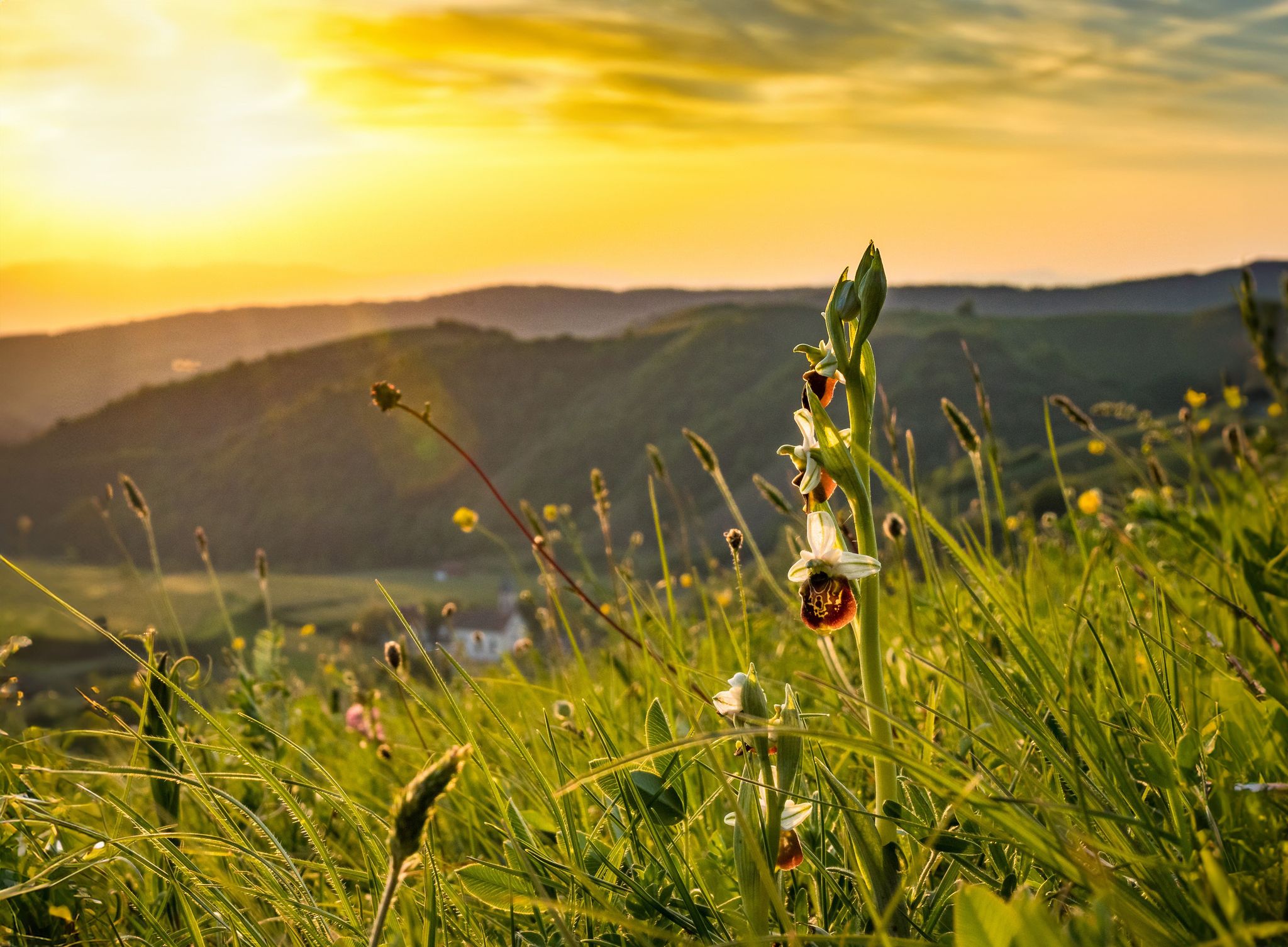
Spring fever on Germany’s Black Forest Pleasure Trails

Ride legendary training passes in the Black Forest
Through gorges on the Black Forest pleasure trails
Other adventures around Bad Teinach-Zavelstein


Tips from the Community

In 1477, a chapel to the Holy Cross is mentioned; it stood where the monument to the victims of the World Wars stands today. In 1802/03, it was replaced by a proper, albeit unpretentious, church at the current location, which was extended by the choir in 1908, when Monakam became an independent municipality together with Unterhaugstett.
2
0

Bad Teinach-Zavelstein is a town with 3,220 inhabitants (as of December 31, 2024) in the Calw district of Baden-Württemberg. The town belongs to the Northern Black Forest region. This health resort lies approximately five kilometers west of the district capital, Calw, and is, along with Bad Herrenalb, Bad Liebenzell, and Bad Wildbad, one of the four spa towns in the Calw district. Bad Teinach-Zavelstein is widely known for its crocus blossoms. On October 1, 2022, the Zavelstein district was officially designated the "Crocus Town."[2] Source: https://de.wikipedia.org/wiki/Bad_Teinach-Zavelstein
0
0
Following traditional models, the working group for local heritage preservation within the Black Forest Association has set up a blacksmith's shop at the fortified tower. This is accompanied by an exhibition providing information about the blacksmith's craft and the unique features of Zavelstein.
0
0

A beautiful, well-preserved castle ruin in a picturesque village.
1
0

Be careful, it can be slippery, good footwear is not a bad idea.
0
0
Simply a fantastic hike, very idyllic, one could say.
0
0

Frequently Asked Questions
How many mountaineering routes are available in Bad Teinach-Zavelstein?
This guide features 4 distinct mountaineering routes around Bad Teinach-Zavelstein, offering a range of experiences from moderate forest paths to routes with significant elevation gain.
Are there any easy mountaineering routes suitable for beginners in Bad Teinach-Zavelstein?
While all routes in this guide are rated as moderate, the region generally offers paths suitable for various skill levels. For a less strenuous option, consider the Zavelstein Town Hall Fountain – Zavelstein Historic Center loop from Bad Teinach-Zavelstein, which is 4.7 miles (7.5 km) long with a moderate elevation gain of 97 meters.
What kind of elevation gain can I expect on mountaineering trails in Bad Teinach-Zavelstein?
The routes in Bad Teinach-Zavelstein offer varied elevation gains. For a more challenging ascent, the Henry-See – Beilfelsen loop from Holzbronn features an elevation gain of approximately 468 meters over its 16.6 km distance. Other routes, like the Ascent to Zavelstein Castle – Zavelstein Castle Ruins loop from Bad Teinach-Zavelstein, also provide significant climbs with around 431 meters of elevation gain.
Are there family-friendly mountaineering options in the Bad Teinach-Zavelstein area?
Many of the moderate routes in the region are suitable for families with older children, especially those accustomed to hiking. The paths often traverse forested areas and charming village centers, providing interesting sights along the way. Always check the route's distance and elevation to ensure it matches your family's capabilities.
Can I bring my dog on the mountaineering trails around Bad Teinach-Zavelstein?
Yes, the trails in the Bad Teinach-Zavelstein area are generally dog-friendly. The region's natural environment, with its extensive forests and open paths, is ideal for exploring with your canine companion. Remember to keep your dog on a leash where required and clean up after them.
What is the best time of year for mountaineering in Bad Teinach-Zavelstein?
The best time for mountaineering in Bad Teinach-Zavelstein is typically from spring through autumn (April to October). During these months, the weather is generally mild, and the trails are clear. Spring offers blooming crocuses, especially around Zavelstein, while autumn provides vibrant fall foliage in the Black Forest.
Are there circular mountaineering routes available in Bad Teinach-Zavelstein?
Yes, several routes in the area are designed as loops, allowing you to start and end at the same point. Examples include the Mountaineering loop from Bad Liebenzell and the Ascent to Zavelstein Castle – Zavelstein Castle Ruins loop from Bad Teinach-Zavelstein, both offering convenient circular journeys.
What kind of viewpoints or landmarks can I expect to see on these routes?
Mountaineering routes in Bad Teinach-Zavelstein often feature historical landmarks and scenic viewpoints. For instance, the Ascent to Zavelstein Castle – Zavelstein Castle Ruins loop offers panoramic views and takes you past the historic Zavelstein Castle Ruins. The region also boasts natural beauty, with deep valleys and dense woodlands providing picturesque vistas.
Are there any nearby attractions or points of interest to explore after a mountaineering trip?
Absolutely! The region offers several attractions. You could visit the historic Zavelstein Castle Ruins, or explore natural highlights like the Gültlinger Lake or Egelsee. For those interested in other outdoor activities, there are also bike parks nearby, such as the Flow trail in the Naturpark Schwarzwald Mitte/Nord.
What do other mountaineers enjoy most about the Bad Teinach-Zavelstein area?
The area is highly rated by the komoot community, with an average score of 5.0 stars. Mountaineers often praise the region's varied terrain, which includes forested hills and river valleys, as well as the historical charm found along routes that pass through places like Zavelstein.
Is parking available near the mountaineering trailheads?
Yes, parking is generally available in and around the towns of Bad Teinach-Zavelstein and Bad Liebenzell, which serve as common starting points for many routes. Specific parking information can often be found on individual route pages or local tourist information sites.
Most popular routes around Bad Teinach-Zavelstein
Most popular attractions around Bad Teinach-Zavelstein

Get inspired with the komoot mobile app


Explore more
Browse the best Mountain Hikes & Routes in other regions.
