The best mountain hikes around Gensingen
9
hikers
3
hikes
Mountaineering routes around Gensingen offer challenging experiences within the varied landscapes of Rheinhessen, near the Soonwald-Nahe Nature Park and the Rhine Valley. The region features a diverse topography with vineyards, dense forests, and river valleys, providing significant elevations and panoramic views. Trails often involve strenuous and technically demanding sections, including steep ascents and descents, rocky paths, and varied terrain suitable for experienced hikers and those seeking a broader mountaineering challenge.
Best mountaineering routes around Gensingen
- The most popular mountaineering route…
Last updated: July 2, 2026
6
hikers
Hard mountaineering route. Very good fitness required. Easily-accessible paths. Suitable for all skill levels.
2
hikers
15.4km
04:31
410m
410m
Moderate mountaineering route. Good fitness required. Mostly accessible paths. Sure-footedness required.

Sign up for free
1
hikers
14.5km
04:12
350m
350m
Moderate mountaineering route. Good fitness required. Mostly accessible paths. Sure-footedness required.
Our route recommendations are based on thousands of hikes, rides, and runs completed by other people on komoot.
Start today with a free account
Your next adventure awaits.
Login or Signup
Tips from the Community

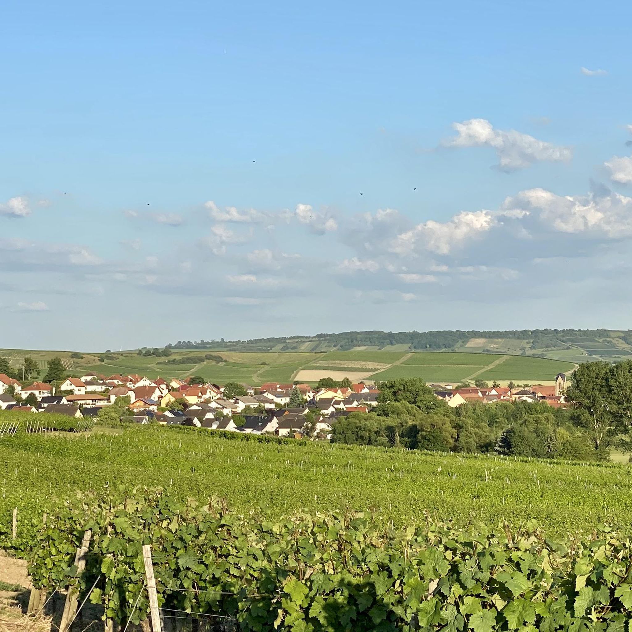
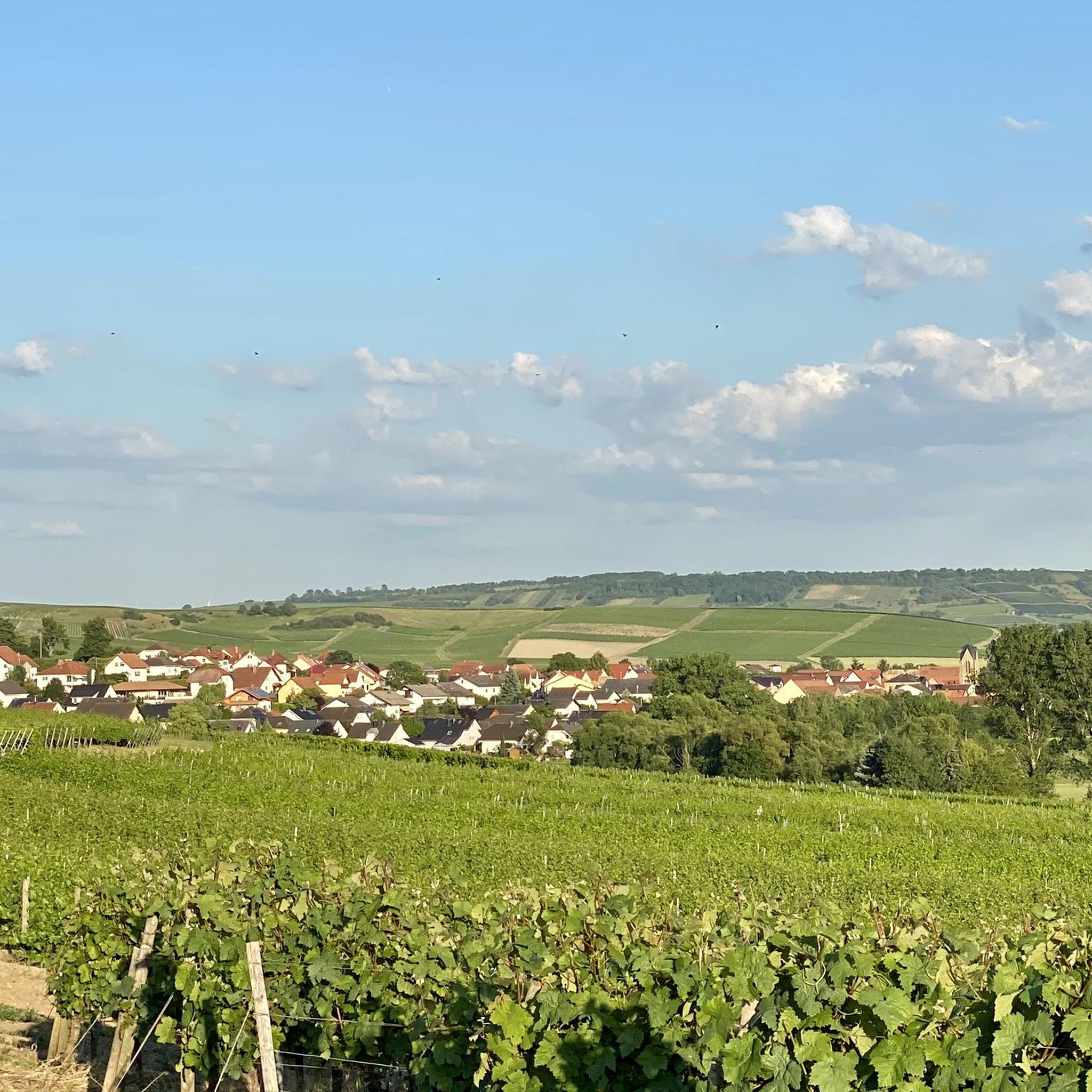
Fantastic views.. the way here is worth it
8
0
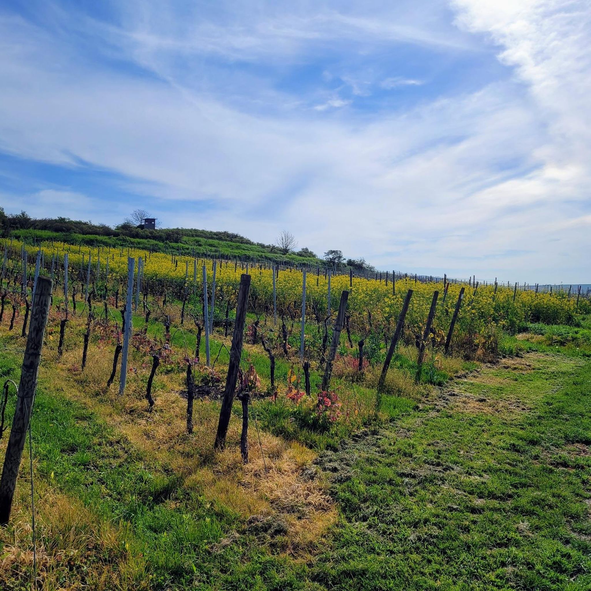
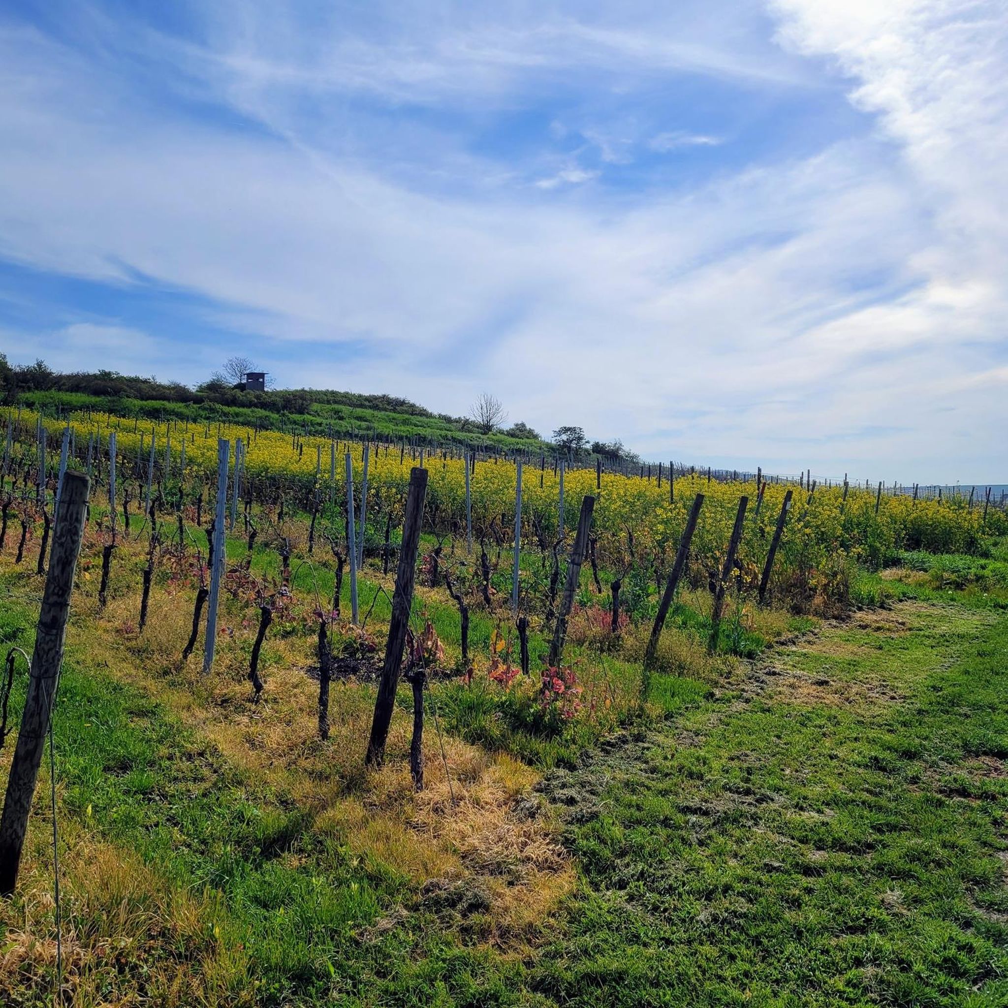
A little sure-footedness and no flip-flops.. then it's fine
8
0

Nice rest stop, delicious food and drinks. Open only on Sundays and public holidays.🍻🍔🍰☕️
2
1


Extreme CAUTION when swimming the Rhine can be very dangerous with its invisible currents and shallows
1
0

It is no longer possible to drive on it as it is overgrown with thorn bushes. Fallen trees are also blocking the way. It is better to go around the outside of the road to the junction.
0
0

Now looks completely closed, run down
0
0

The Swiss House is closed
2
0
Frequently Asked Questions
What kind of terrain can I expect on the mountaineering routes around Gensingen?
The mountaineering routes around Gensingen offer a diverse range of terrain. You'll traverse through picturesque vineyards, dense forests, and along scenic river valleys. Many trails feature imposing rock formations, narrow rocky paths, and can include steep ascents and descents, providing a challenging and varied experience. The region is part of the Rheinhessen landscape, close to the Soonwald-Nahe Nature Park and the Rhine Valley, ensuring a rich natural environment.
Are there any particularly challenging mountaineering routes in the Gensingen area?
Yes, for those seeking a significant challenge, the region offers routes with considerable elevation gains and technically demanding sections. For instance, the Prinzenkopf – Damianskopf loop from Bingen (Rhein) Hauptbahnhof is classified as difficult, covering 12.6 miles (20.2 km) with over 660 meters of elevation gain. The broader area, including parts of the Soonwaldsteig and RheinBurgenWeg, is known for strenuous hikes requiring good fitness and sure-footedness.
What are some notable viewpoints or landmarks along the mountaineering trails near Gensingen?
The region boasts several impressive viewpoints and natural landmarks. You can enjoy expansive views over the surrounding landscape from elevated sections of routes like the Prinzenkopf – Damianskopf loop. The broader Mainz-Bingen district features vistas from points like the Salzkopf Tower, offering views of the Hunsrück, Taunus, and Middle Rhine Valley, and the viewpoint at Steinriegel overlooking the Heimbachtal. You might also encounter historical sites and unique rock formations along river valleys.
Are there any circular mountaineering routes available?
Yes, many of the mountaineering routes around Gensingen are designed as loops, allowing you to start and finish at the same point. Examples include the Prinzenkopf – Damianskopf loop from Bingen (Rhein) Hauptbahnhof, the Rheingrafenstein – Johanneslust loop from Bad Kreuznach, and the Prinzenkopf – Schloss Burg Rheinstein loop from Bingen. These circular paths offer a convenient way to explore the diverse landscapes.
How long do the mountaineering routes typically take to complete?
The duration of mountaineering routes around Gensingen varies depending on their length and difficulty. For example, the moderate Prinzenkopf – Schloss Burg Rheinstein loop from Bingen, which is 8.9 miles (14.4 km), typically takes about 4 hours 11 minutes. More challenging routes, such as the 12.6 miles (20.2 km) Prinzenkopf – Damianskopf loop, can take over 6 hours to complete. It's always advisable to check the estimated duration for your chosen route and factor in breaks.
Can I find places to eat or stay overnight near the mountaineering trails?
Yes, there are options for refreshments and accommodation in the vicinity. You can find places like the Heiligkreuz Forest Inn for a meal. For those looking for a more rustic experience, there are also huts such as the GAGA Hut on Richardshöhe and Dr. Walter's Hut. The Soonwald-Nahe Nature Park also offers trekking camps for overnight stays, adding to the adventurous appeal.
Are there any family-friendly options for hiking that are less strenuous than full mountaineering?
While the focus here is on mountaineering, the broader region around Gensingen offers a variety of trails. For families, you might look for shorter, less elevated paths within the vineyards or along flatter river sections. The Soonwald-Nahe Nature Park also has diverse trails, some of which are less demanding. It's recommended to check individual route descriptions for difficulty ratings and elevation profiles to find suitable options for all family members.
What is the best time of year to go mountaineering in Gensingen?
The region around Gensingen is generally enjoyable for mountaineering from spring through autumn. Spring brings blooming vineyards and fresh greenery, while autumn offers vibrant fall foliage. Summer can be warm, so early morning starts are recommended. Winter mountaineering is possible but requires appropriate gear for potentially icy or snowy conditions, especially on higher or more exposed sections.
Are there opportunities for rock climbing or via ferrata in the Gensingen area?
While not traditional alpine mountaineering, the Bingen region, close to Gensingen, does offer dedicated climbing experiences. The Lauschhütte Outdoor Park provides climbing amidst nature with courses of varying difficulty. For more experienced climbers, the Morgenbach Valley features natural climbing rocks like Mainzer Turm. Additionally, the Hotel Papa Rhein in Bingen has a 17-meter high climbing wall with a 65-meter via ferrata across three difficulty levels.
What kind of natural attractions or points of interest can I find near the trails?
Beyond the trails themselves, the area offers several natural attractions. You can explore the Am Grubenkopf Nature Reserve or discover tranquil spots like the Ponds in the subsidence area at Amalienhöhe. There are also scenic viewpoints such as the View of Rheinhessen Vineyards, providing stunning panoramas of the region's unique landscape.
How can I access the mountaineering trails using public transport?
Many routes in the region are accessible via public transport, especially those starting from larger towns like Bingen (Rhein) or Bad Kreuznach. For example, the Prinzenkopf – Damianskopf loop conveniently starts from Bingen (Rhein) Hauptbahnhof. It's advisable to check local bus and train schedules to plan your journey to the trailheads.
Most popular routes around Gensingen
Most popular attractions around Gensingen

Get inspired with the komoot mobile app


Explore more
Browse the best Mountain Hikes & Routes in other regions.
