The 4 Most Amazing Peaks around Körborn
Mountain peaks around Körborn are characterized by a varied hilly landscape, including the North Palatinate highlands. The region features significant geological formations such as the Steinerne Meer, a scree heap of weathered basalt, and historical agate mining sites. Forested areas, viewpoints, and natural monuments define the natural landscape, offering diverse exploration opportunities. The area provides routes ranging from intermediate to challenging, suitable for experiencing the local terrain.
Best mountain peaks around Körborn
- The most popular mountain peaks is View of…
Last updated: July 2, 2026
Potzberg Tower and Historic Hotel
Highlight • Monument
Translated by Google •
Tip by

Weiselberg Summit and Steinerne Meer
Highlight • Summit
From a geological point of view, the »Steinernes Meer« is a heap of scree made from weathered material from the Weiselberg. From a geological point of view, this …
Translated by Google •
Tip by

Sign up now to discover places like this
Get recommendations on the best single tracks, peaks, & plenty of other exciting outdoor places.
Sign up for free
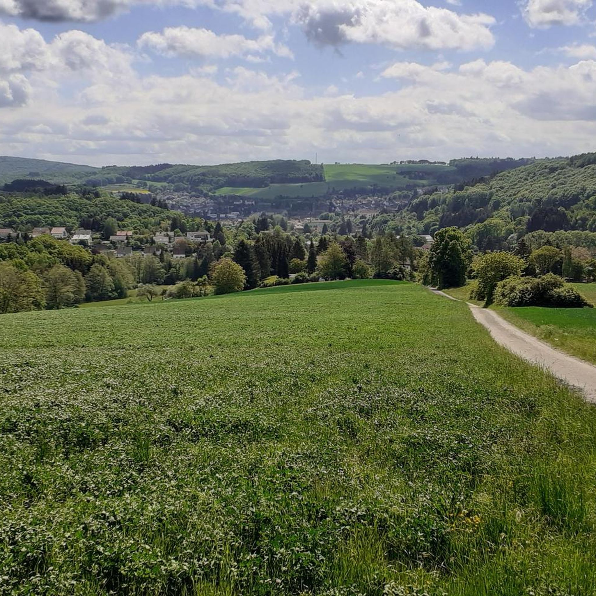
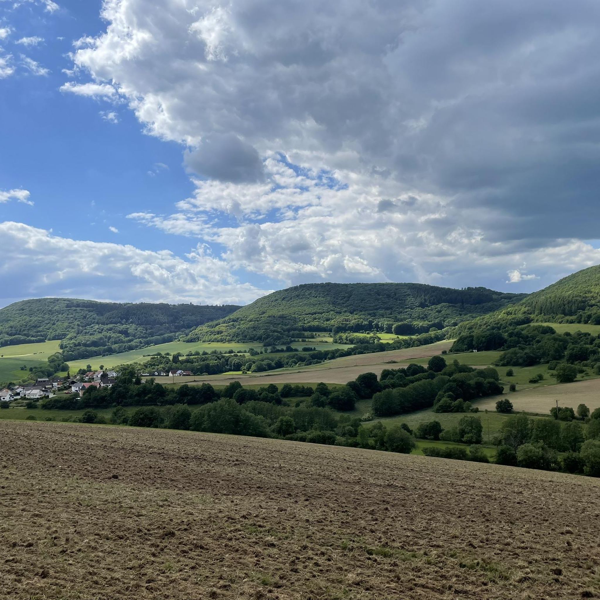
View of the Potzberg
Highlight • Viewpoint
Translated by Google •
Tip by

Start and finish of the Weiselberg Summit Tour
Highlight • Trail
The approximately 16 km long Weiselberg summit tour in Oberkirchen leads through a varied hilly landscape around the Weiselberg (569m). Light-flooded beech forests allow spectacular views over and over …
Translated by Google •
Tip by
View from Trautzberg
Highlight • Viewpoint
Translated by Google •
Tip by

Sign up for free to discover even more peaks around Körborn.
Sign up for free
Already have an account?
Start today with a free account
Your next adventure awaits.
Login or Signup


Other adventures around Körborn

Tips from the Community

The Potzbergturm is a 35-meter-high sandstone tower on the 562-meter-high Potzberg near Föckelberg (Kusel district). It was built in 1951 (inauguration 13.07.1952), offers a wide view over the Palatinate Forest to the Vosges mountains and is a popular excursion destination. Next to the tower, there is a wildlife park, a falconry, and a hotel-restaurant (closed). It is located on the summit of Potzberg, near Föckelberg (Westpfalz) and offers a panoramic view over Westpfalz, the Palatinate Forest, and up to the Hunsrück/Vosges.
1
0

This castle-like building, once built as a hotel, now stands abandoned at the summit of the Potzberg – a silent witness to times gone by. 📍 Tip: A short detour is worthwhile – the architecture offers exciting photo opportunities in contrast to the surrounding nature.
0
1

Centrally located, all the world's highlights are clearly signposted and directions are shown. 🤔😂🥳
0
0

Unfortunately no restaurants here
0
0

Great view over Saar, Hunsrück and Palatinate.
0
0

Somewhat hidden away are some great trails here - otherwise nice view!
1
0

The Potzberg, known as the "King of Westrich", is a wooded hill, 562 m above sea level, in the North Palatinate Uplands in Rhineland-Palatinate. (Source: Wikipedia)
0
0

Getting up there is a dream!
4
0
Frequently Asked Questions
What unique geological features can I explore around Körborn?
The region is known for significant geological formations, most notably the Weiselberg Summit and Steinerne Meer. The Steinerne Meer is a remarkable scree heap of weathered basalt, a result of Ice Age processes, where magma solidified into pentagonal column formations. This area also has a history of agate mining.
Where can I find the best panoramic views of the North Palatinate mountains near Körborn?
For expansive views, visit the View of the Potzberg. This 562m high wooded mountain features the Potzbergturm, a 53.5m high viewing tower offering panoramic vistas of the North Palatinate highlands. Another excellent spot is the View from Trautzberg, one of the highest points in the Freisener Land.
Are there family-friendly mountain hikes around Körborn?
While some routes around Körborn can be challenging, many trails offer varied terrain suitable for families. The region's forested areas and viewpoints provide engaging exploration opportunities. For specific family-friendly routes, it's best to check individual tour descriptions on komoot, as difficulty can vary.
What are the difficulty levels of mountain peaks and trails around Körborn?
The mountain peaks and trails around Körborn offer a range of difficulties, from intermediate to challenging. For example, the Weiselberg Summit Tour is described as having a medium difficulty, though some visitors find it strenuous due to climbs requiring good basic condition.
What kind of landscape can I expect when hiking the mountain peaks around Körborn?
You can expect a varied hilly landscape, characteristic of the North Palatinate highlands. The area features extensive forested areas, significant geological formations like basalt scree heaps, and numerous viewpoints. You'll encounter natural monuments and diverse terrain, from gentle slopes to more challenging ascents.
Are there any circular walks or point-to-point hikes available near Körborn's peaks?
Yes, the region offers both circular and point-to-point hiking options. The Weiselberg Summit Tour is an approximately 16 km long circular route that leads through a varied hilly landscape around the Weiselberg, featuring rock formations and a waterfall. Many other routes can be found on komoot, offering different lengths and styles.
What outdoor activities can I do near the mountain peaks around Körborn?
Beyond hiking, the area around Körborn is excellent for cycling and running. You can find various routes, such as the 'Bachbahn Cutting – Seewoog Miesenbach loop' for touring bicycles or the 'Herzerberg – Fritz-Wunderlich-Weg loop' for jogging. For more options, explore the Cycling around Körborn or Running Trails around Körborn guides.
What do visitors enjoy most about the mountain peaks around Körborn?
Visitors particularly appreciate the diverse natural beauty, from the unique geological formations of the Steinerne Meer to the panoramic views from spots like the Potzberg. The varied trails, forested areas, and opportunities for exploration also receive high praise, with many sharing photos and upvotes for the region's highlights.
Are there any historical sites or points of interest related to the mountain peaks?
Yes, the region has a notable history related to its geology. The Weiselberg Summit and Steinerne Meer area, for instance, was historically significant for agate mining. Romans were already digging for agates on the surface, and from the 15th century, agate seekers went deep into the earth, leaving behind tunnels that bear witness to this past.
What is the best time to hike the mountain peaks around Körborn?
The region offers beautiful hiking opportunities throughout much of the year. Spring and autumn provide pleasant temperatures and vibrant scenery, with autumn foliage being particularly striking. Summer is also suitable, though it can be warmer. Winter hiking is possible, but conditions may vary, so it's advisable to check local weather and trail reports for snow or ice.
Are there options for road cycling near the mountain peaks of Körborn?
Absolutely. The area around Körborn offers several road cycling routes. Examples include the 'Glan-Blies Cycle Path – Weir on the Glan River loop' or the 'Reichenbachtal Cycle Path – Erdesbach Weir on the Glan loop'. These routes often feature moderate difficulty and allow you to explore the wider region. You can find more details in the Road Cycling Routes around Körborn guide.
Most popular attractions around Körborn

Get inspired with the komoot mobile app


Explore more
See even more amazing summits around Körborn with these guides:
