The best mountain hikes around Carlsberg
5.0
(1)
14
hikers
4
hikes
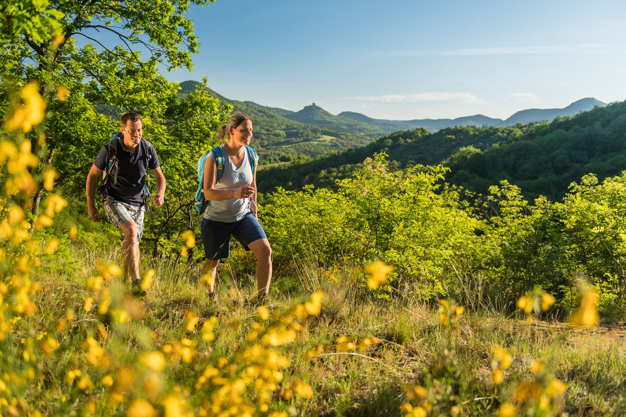
Mountaineering around Carlsberg offers a network of routes through the varied landscape of Landkreis Bad Dürkheim. The region features a mix of dense woodlands, rolling hills, and specific natural reserves, providing diverse terrain for exploration. Elevation gains are moderate, with routes traversing forested paths and open areas. The area is characterized by its natural beauty and accessible trails suitable for different skill levels.
Best mountaineering routes around Carlsberg
- The most popular mountaineering route is Drachenfels Nature Reserve – Seven Ways…
Last updated: October 6, 2026
5
hikers
10.1km
03:06
350m
350m
Moderate mountaineering route. Good fitness required. Easily-accessible paths. Suitable for all skill levels.
5.0
(1)
3
hikers
Easy mountaineering route. Great for any fitness level. Easily-accessible paths. Suitable for all skill levels.

3
hikers
Moderate mountaineering route. Good fitness required. Easily-accessible paths. Suitable for all skill levels.
3
hikers
14.7km
04:13
350m
350m
Moderate mountaineering route. Good fitness required. Easily-accessible paths. Suitable for all skill levels.
Our route recommendations are based on thousands of hikes, rides, and runs completed by other people on komoot.
Start today with a free account
Your next adventure awaits.

Other adventures around Carlsberg

Tips from the Community

Especially interesting if you have read something about it
0
0

Founded in 1120 and first mentioned in documents in 1143 Destroyed between 1618 and 1648 in the Thirty Years' War and not rebuilt
1
0

Very beautiful, narrow hiking trail with roots in places. It was a lot of fun hiking it.
0
0

There is not much left. Parts of the old house facade and a gateway are reminders of the old days. Opposite there is also a beautiful old cemetery chapel and good places to stop for a bite to eat.
1
0

Beautiful sandstone rock with countless lizards and great views
0
0

The ring wall is still clearly visible. It was probably built around 600 BC and probably protected a Celtic princely seat. One of the few information boards about it can be found here.
2
0

beautifully labeled and interesting for children
0
0
From the barrier, easy-to-drive forest roads branch off in all directions.
0
0
Frequently Asked Questions
How many mountaineering routes are available around Carlsberg?
There are 5 dedicated mountaineering routes around Carlsberg, offering a variety of experiences through dense woodlands and rolling hills. These routes are highly rated by the komoot community, with an average score of 5.0 stars.
Are there any easy mountaineering routes suitable for beginners in the Carlsberg area?
Yes, for those seeking an easier experience, the Schlagbaum Trail Junction – View of Limburg Abbey loop from Haardtrand - Am Schlammberg is an excellent choice. This 3.2-mile (5.2 km) path is considered easy and offers scenic views towards Limburg Abbey, making it perfect for a relaxed outing.
What are some of the longer or more challenging mountaineering routes near Carlsberg?
For a more extended adventure, consider the Kieskautberg loop from Altleiningen. This moderate 9.1-mile (14.7 km) trail leads through forested hills and typically takes over 4 hours to complete. Another moderate option is the Hertlingshausen Monastery Mill – Municipality of Höningen loop from Hertlingshausen, which is also around 9.1 miles (14.7 km) long.
Are there any circular mountaineering routes around Carlsberg?
Many of the routes in the Carlsberg area are designed as loops, offering convenient circular journeys. Examples include the popular Drachenfels Nature Reserve – Seven Ways loop from Drachenfels, a 6.3-mile (10.1 km) moderate trail, and the Ungeheuersee – Heidenfels loop from Landkreis Bad Dürkheim, which is 4.9 miles (7.9 km) long.
What kind of elevation gains can I expect on mountaineering routes in Carlsberg?
Elevation gains in the Carlsberg region are generally moderate. For instance, the Drachenfels Nature Reserve – Seven Ways loop from Drachenfels involves an ascent of approximately 349 meters (1,145 feet). Even longer routes like the Kieskautberg loop from Altleiningen have similar moderate elevation changes, around 353 meters (1,158 feet).
Are there any scenic viewpoints or landmarks to see along the mountaineering trails?
Yes, the region offers several interesting points. You can find impressive structures like the Bismarck Tower on Peterskopf or the Zeppelinturm (Schneckennudel) observation tower, which provide great views. Nature lovers might also enjoy the unique Kamelkopf Rock Formation.
What do other mountaineers enjoy most about the Carlsberg routes?
The komoot community highly rates the mountaineering routes around Carlsberg, with an average score of 5.0 stars. Reviewers often praise the diverse terrain, which includes dense woodlands and nature reserves, as well as the accessible trails suitable for various skill levels.
What is the best time of year for mountaineering in Carlsberg?
The Carlsberg region, with its dense woodlands and rolling hills, is generally pleasant for mountaineering from spring through autumn. The varied landscape offers beautiful scenery as the seasons change. While specific winter conditions can vary, some trails may be suitable for winter walks, but always check local conditions.
Are there any places to eat or rest near the mountaineering routes?
While specific pubs directly on every route are not detailed, the region does feature places like the Lindemannsruhe Forest Inn, which can serve as a convenient stop for refreshments or a meal after your hike. It's always a good idea to check opening times in advance.
Are the mountaineering routes around Carlsberg suitable for families?
The Carlsberg area offers routes suitable for different ability levels. For families, the easier trails, such as the Schlagbaum Trail Junction – View of Limburg Abbey loop from Haardtrand - Am Schlammberg, are a good starting point. These paths are less strenuous and provide enjoyable outdoor experiences for all ages.
What kind of natural environment can I expect on the trails?
The mountaineering routes around Carlsberg are characterized by a mix of dense woodlands, rolling hills, and specific natural reserves. You'll traverse forested paths and open areas, experiencing the natural beauty and varied terrain of the Landkreis Bad Dürkheim.
Most popular attractions around Carlsberg

Get inspired with the komoot mobile app


Explore more
Browse the best Mountain Hikes & Routes in other regions.
