The best mountain hikes around Salach
5.0
(1)
9
hikers
4
hikes
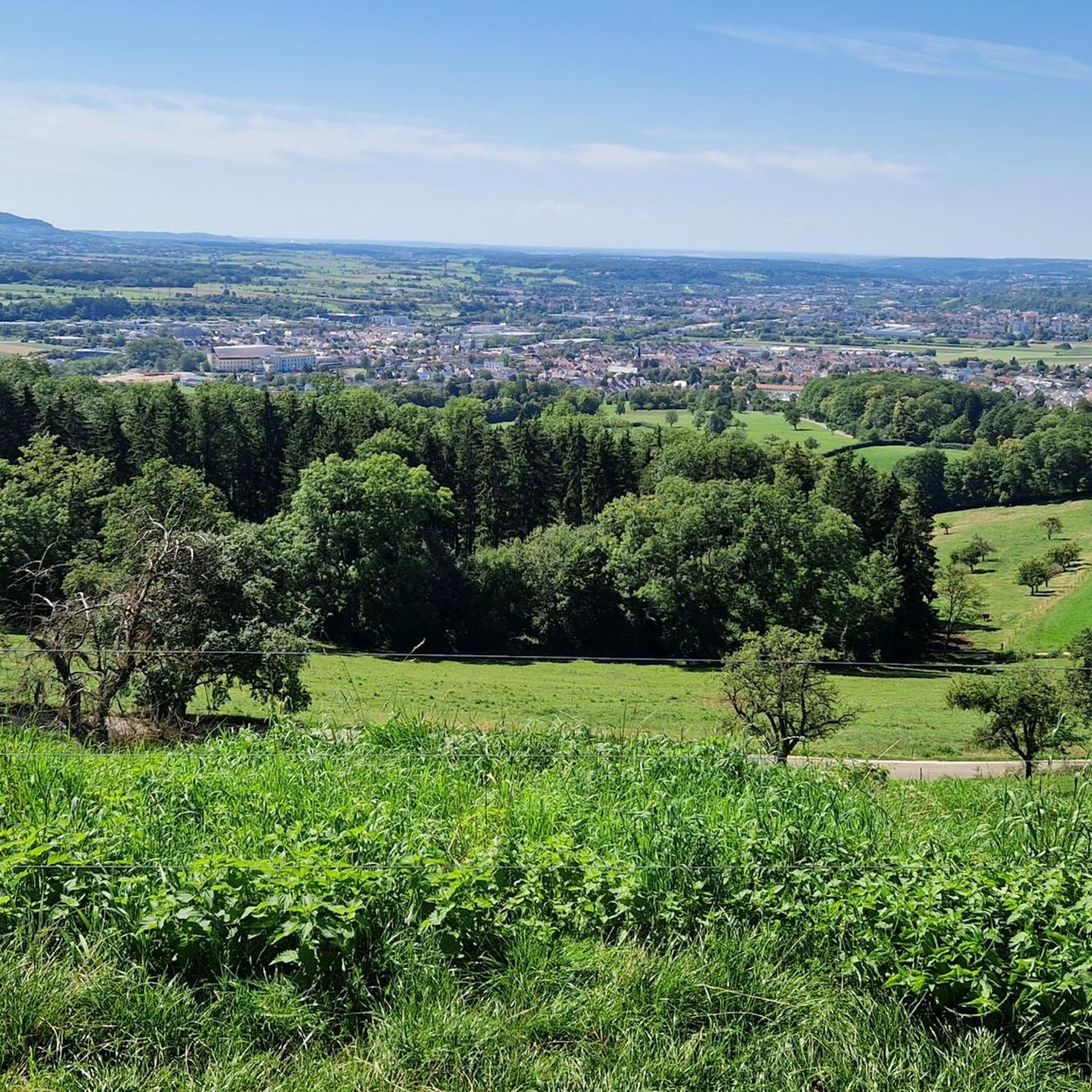
Mountaineering routes around Salach traverse the varied landscape of the Swabian Jura, characterized by rolling hills, dense forests, and open plateaus. The region features numerous geological formations, including caves and prominent summits that offer panoramic views. Elevations typically range from moderate, providing accessible challenges for mountaineers.
Best mountaineering routes around Salach
- The most popular mountaineering route is Mordloch Cave – Karl-Vorbrugg Hut loop from Schnittlingen, a 7.5 miles (12.0 km) trail that takes 3 hours 28 minutes to complete.…
Last updated: October 6, 2026
1
hikers
11.8km
03:24
290m
290m
Moderate mountaineering route. Good fitness required. Easily-accessible paths. Suitable for all skill levels.
2
hikers
Moderate mountaineering route. Good fitness required. Easily-accessible paths. Suitable for all skill levels.

3
hikers
14.3km
04:36
580m
580m
Moderate mountaineering route. Good fitness required. Mostly accessible paths. Sure-footedness required.
2
hikers
10.5km
03:12
350m
350m
Moderate mountaineering route. Good fitness required. Easily-accessible paths. Suitable for all skill levels.
5.0
(1)
1
hikers
6.37km
01:38
30m
30m
Easy mountaineering route. Great for any fitness level. Easily-accessible paths. Suitable for all skill levels.
Our route recommendations are based on thousands of hikes, rides, and runs completed by other people on komoot.
Start today with a free account
Your next adventure awaits.
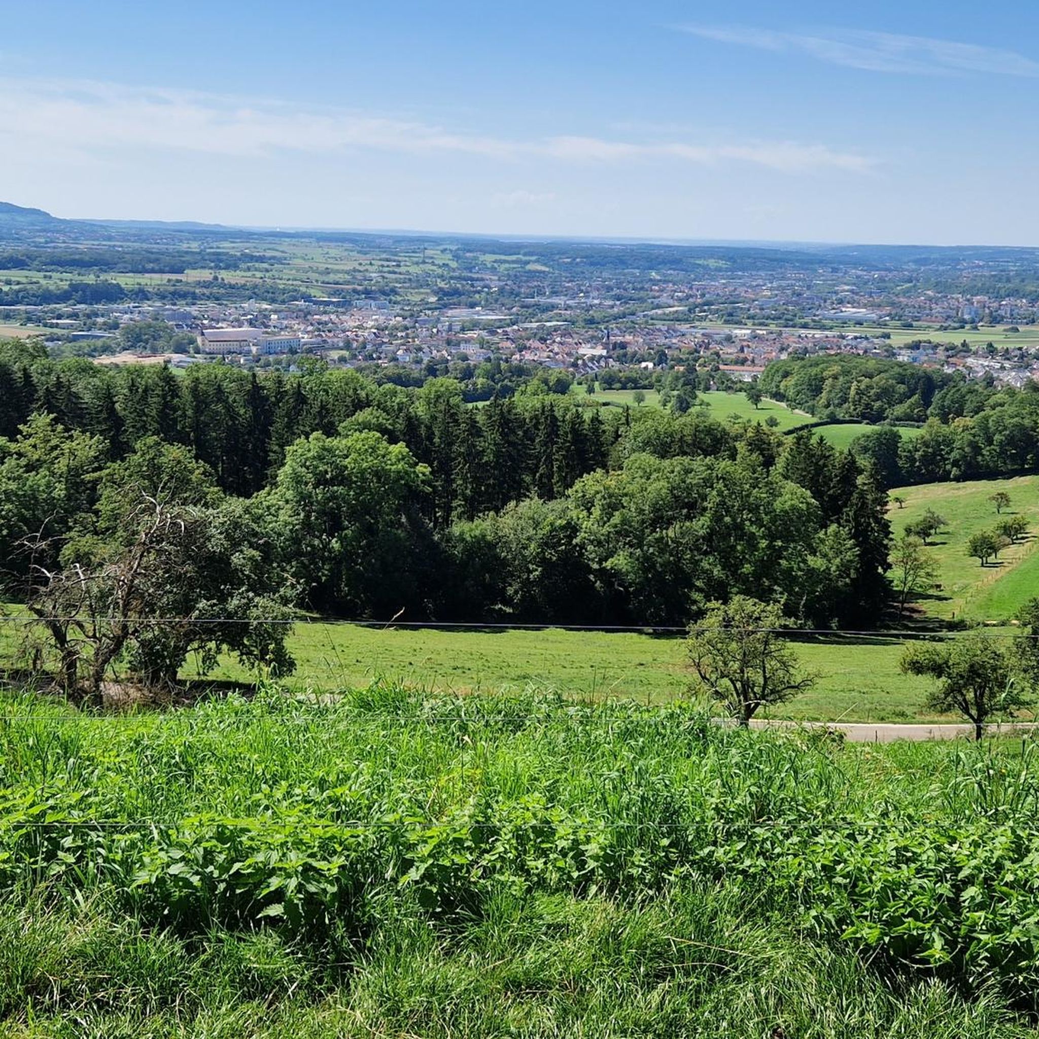
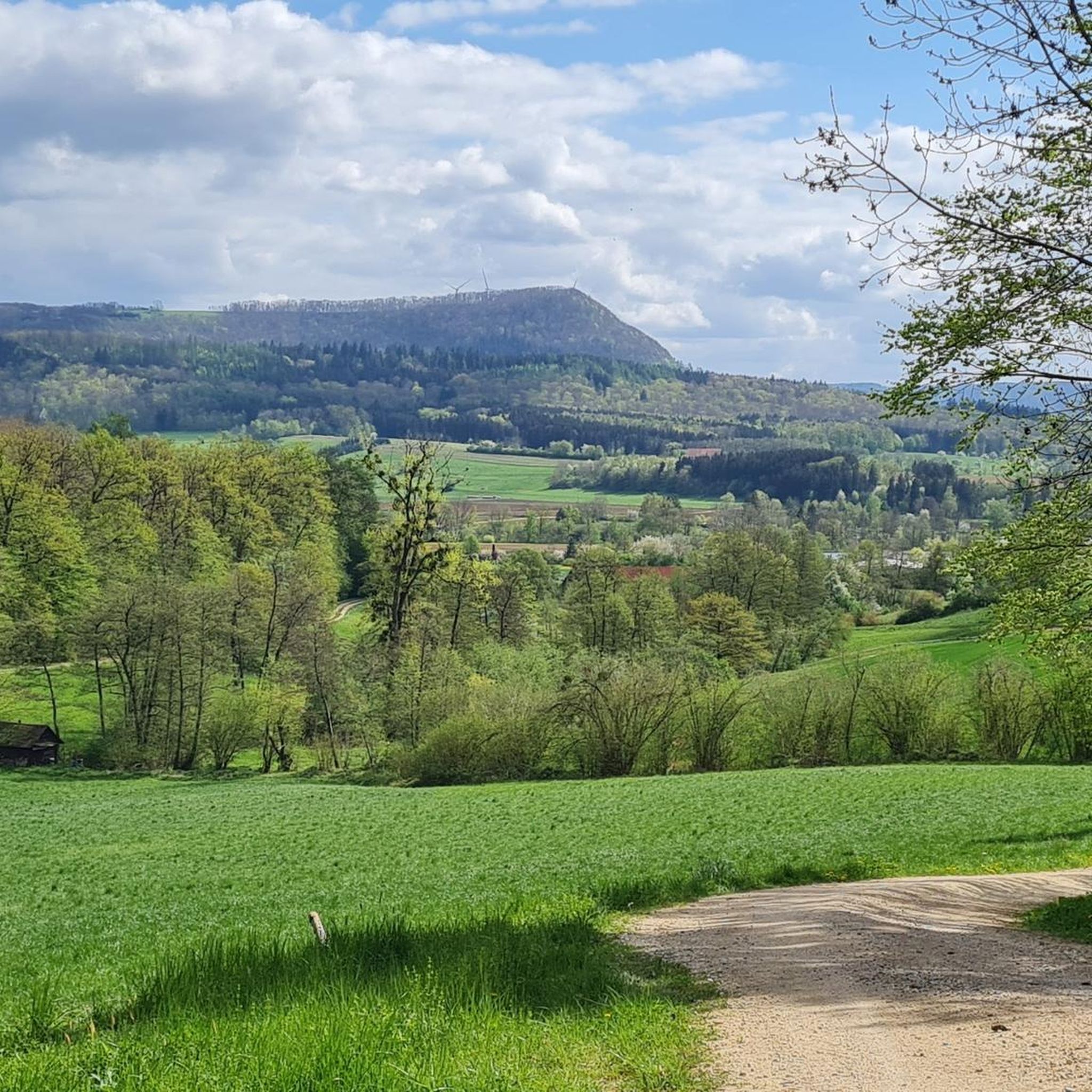
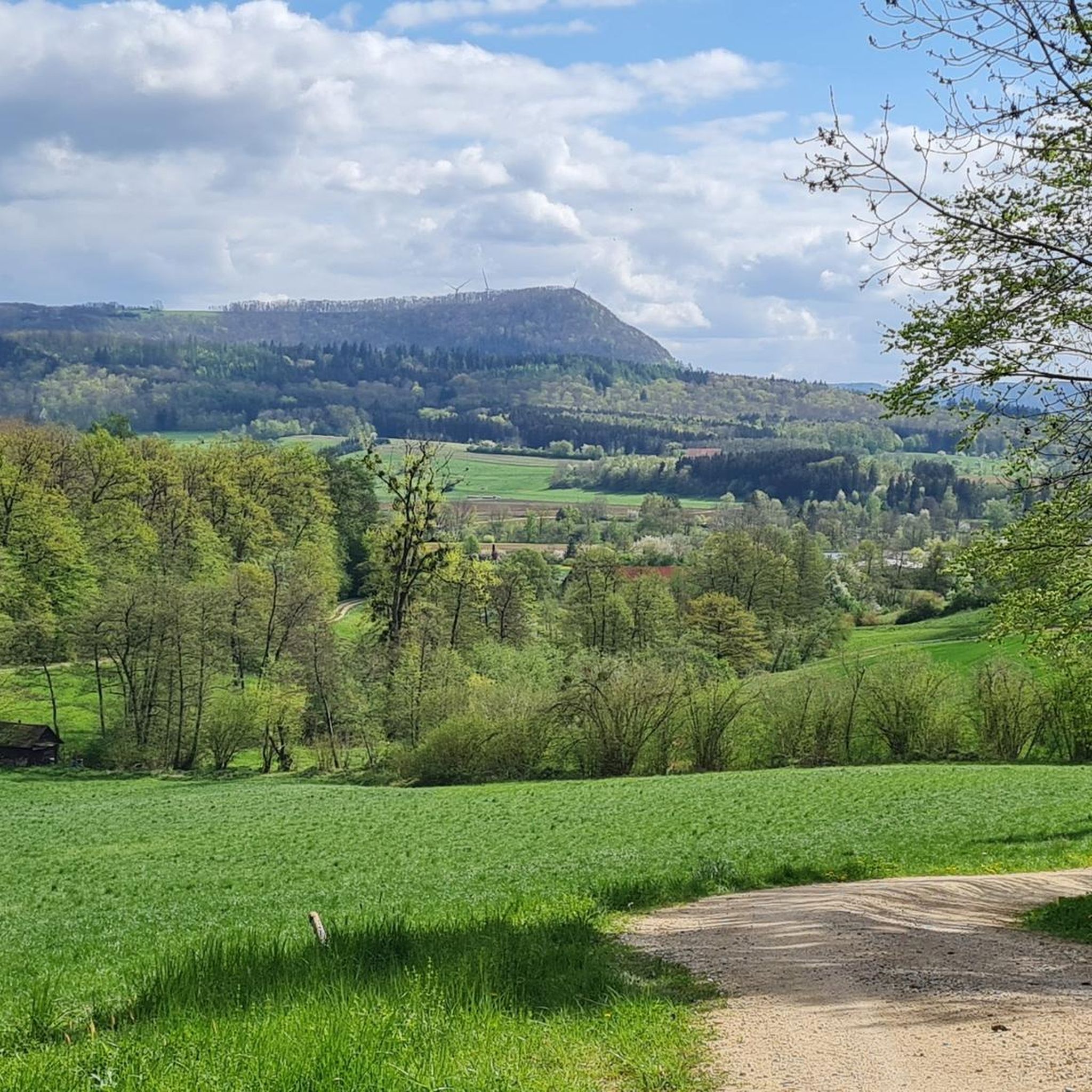
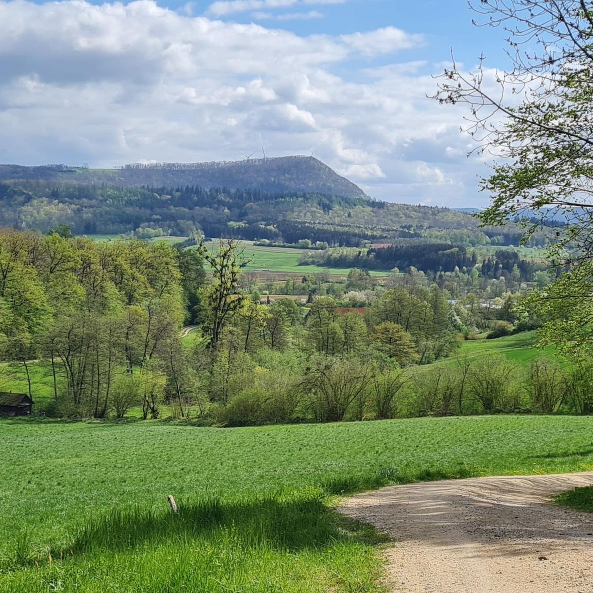

Tips from the Community

Super view of the three Kaiser Mountains
0
0

Here is the turn-off towards Ravenstein Castle ruins.
0
0

Herons love this lake and are easily observed here.
0
0

This is a great place to rest :-)
0
0
Wonderful view. Besides an information board, there's a table and two wooden benches here 🥪🥛
0
0


Great rest areas 😊 ideal for a short break
1
0
The former lower Roggenmühle is today a horse farm and was connected as a supply post with Roggenstein Castle. Roggenstein Castle is a ruined rock castle on the Roggenstein, 570 m above sea level, above the Untere Roggenmühle near Geislingen an der Steige in the district of Göppingen in Baden-Württemberg. The castle was built between 1150 and 1170 by Konrad von Roggenstein and abandoned around 1250. In 1281, a Konrad Ruggestain, citizen of Geislingen, was mentioned. Source: Wikipedia
0
0
Frequently Asked Questions
What is the typical difficulty level for mountaineering routes around Salach?
The mountaineering routes in the Salach area are generally considered moderate. This means they offer a good challenge without requiring advanced technical skills, making them suitable for experienced hikers looking for a more demanding experience.
How long do mountaineering routes in the Salach area usually take to complete?
The duration of mountaineering routes around Salach varies, but most can be completed within a half-day to a full day. For example, the Mordloch Cave – Karl-Vorbrugg Hut loop from Schnittlingen typically takes around 3 hours 28 minutes, while the Stuifen — Summit and Viewpoint – Reiterles Chapel loop from Waldstetten is often completed in about 4 hours 35 minutes.
Are there any circular mountaineering routes available near Salach?
Yes, many mountaineering routes in the Salach region are designed as circular loops, allowing you to start and end at the same point. Examples include the Knörzerhaus – Hornberg Airfield loop from Kaltes Feld mit Hornberg, Galgenberg und Eierberg and the Wäscher Castle – View from Hohenstaufen Summit loop from Wäschenbeuren.
What kind of terrain can I expect on mountaineering paths in Salach?
Mountaineering around Salach is characterized by varied terrain, including forested hills, open plateaus, and significant geological features like caves and prominent summits. You'll encounter both ascents and descents, often with rewarding panoramic views.
What are some notable natural attractions or landmarks along the mountaineering routes?
The region offers several interesting points. You can explore the Reiterles Chapel, which is part of the Stuifen loop. There are also several mountain passes like Furtlepass (630 m) and Gairenbuckel Pass in the wider area. Additionally, you might encounter various lakes such as Beutental Pond or Simonsbach Reservoir.
Are there any easier routes suitable for beginners or families with children?
While most routes are moderate, there is an easier option available. The Filseck Castle – Lake Charlotte loop from Uhingen is an easy mountaineering route, making it a good choice for those new to mountaineering or families looking for a less strenuous outing.
What do other mountaineers enjoy most about the routes in Salach?
The mountaineering routes in Salach are highly rated by the komoot community, with an average score of 5.0 stars. Reviewers often praise the varied terrain, the combination of forested paths and open views, and the geological features like the Mordloch Cave system.
Is parking generally available near the trailheads for mountaineering routes?
Yes, parking is typically available near the starting points of many mountaineering trails in the Salach region. It's always a good idea to check specific route details for precise parking information before you head out.
Are there any cafes or places to eat near the mountaineering routes?
While specific cafes directly on every route are not detailed, the region around Salach, being well-visited, offers various dining options in nearby towns and villages. Many routes pass through or near settlements where you can find refreshments.
What is the best time of year for mountaineering in Salach?
The Swabian Jura, where Salach is located, is generally pleasant for mountaineering from spring through autumn. These seasons offer mild temperatures and vibrant landscapes. While winter mountaineering is possible, conditions can be more challenging due to snow and ice, requiring appropriate gear and experience.
Are permits required for mountaineering in the Salach area?
No, permits are generally not required for mountaineering on the established trails in the Salach region. You can freely explore the routes without needing special permissions.
Most popular routes around Salach
Most popular attractions around Salach

Get inspired with the komoot mobile app


Explore more
Browse the best Mountain Hikes & Routes in other regions.
