The best mountain hikes around Gingins
5.0
(1)
58
hikers
12
hikes
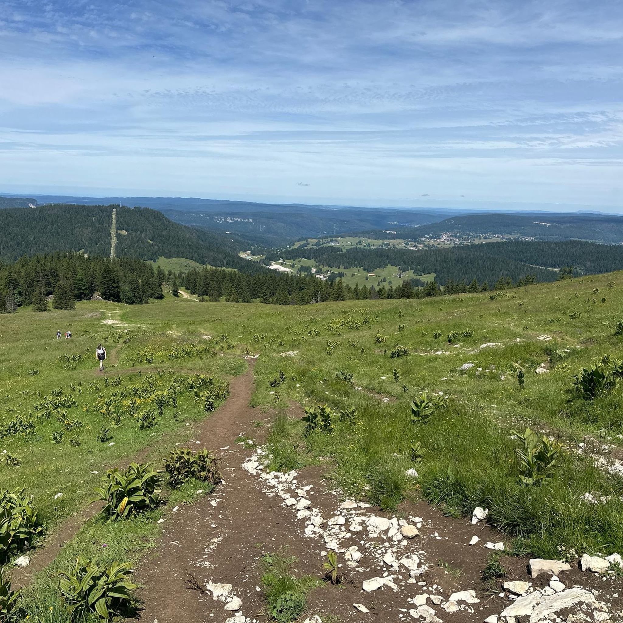
Mountaineering routes around Gingins are situated within the Jura Mountains, offering challenging mountain hiking and alpine trekking experiences. The region is characterized by its distinctive folded landscape, featuring prominent peaks like La Dôle and La Barillette. These routes often involve significant elevation gains through picturesque Jura forests and alpine pastures, providing panoramic views of Lake Geneva and the distant Alps.
Best mountaineering routes around Gingins
- The most popular mountaineering route is La Dôle loop from Les Pralies, a 9.3…
Last updated: July 3, 2026
10
hikers
15.4km
05:07
670m
670m
Hard mountaineering route. Very good fitness required. Mostly accessible paths. Sure-footedness required.
5.0
(1)
10
hikers
9.69km
03:15
450m
450m
Moderate mountaineering route. Good fitness required. Mostly accessible paths. Sure-footedness required.

Sign up for free
10
hikers
13.8km
04:48
660m
660m
Moderate mountaineering route. Good fitness required. Mostly accessible paths. Sure-footedness required.
8
hikers
5.97km
02:20
430m
430m
Moderate mountaineering route. Good fitness required. Easily-accessible paths. Suitable for all skill levels.
3
hikers
6.46km
02:22
350m
350m
Moderate mountaineering route. Good fitness required. Mostly accessible paths. Sure-footedness required.
Get access to more routes and recommendations from other explorers.
Sign up for free
Already have an account?
Our route recommendations are based on thousands of hikes, rides, and runs completed by other people on komoot.
Start today with a free account
Your next adventure awaits.
Login or Signup
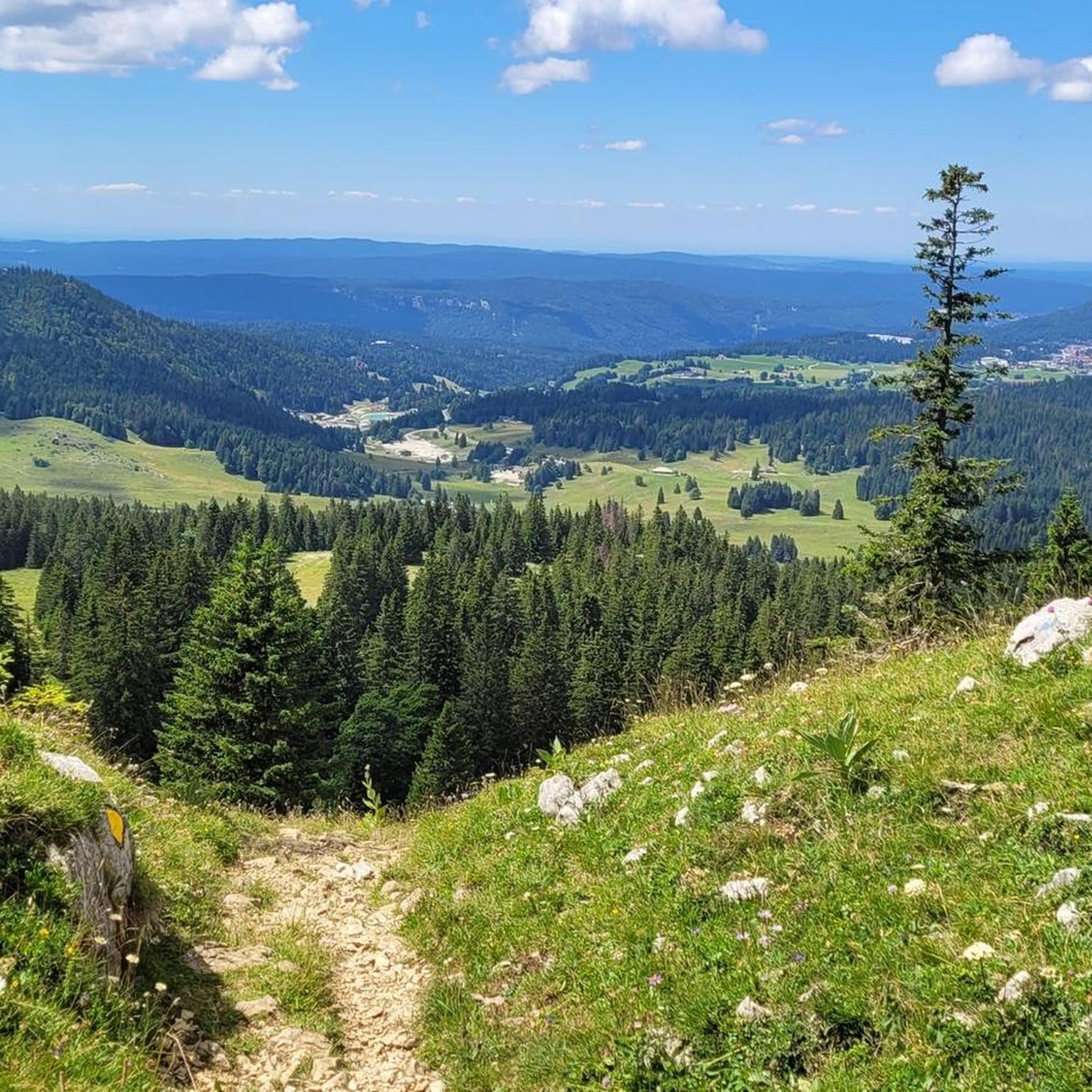
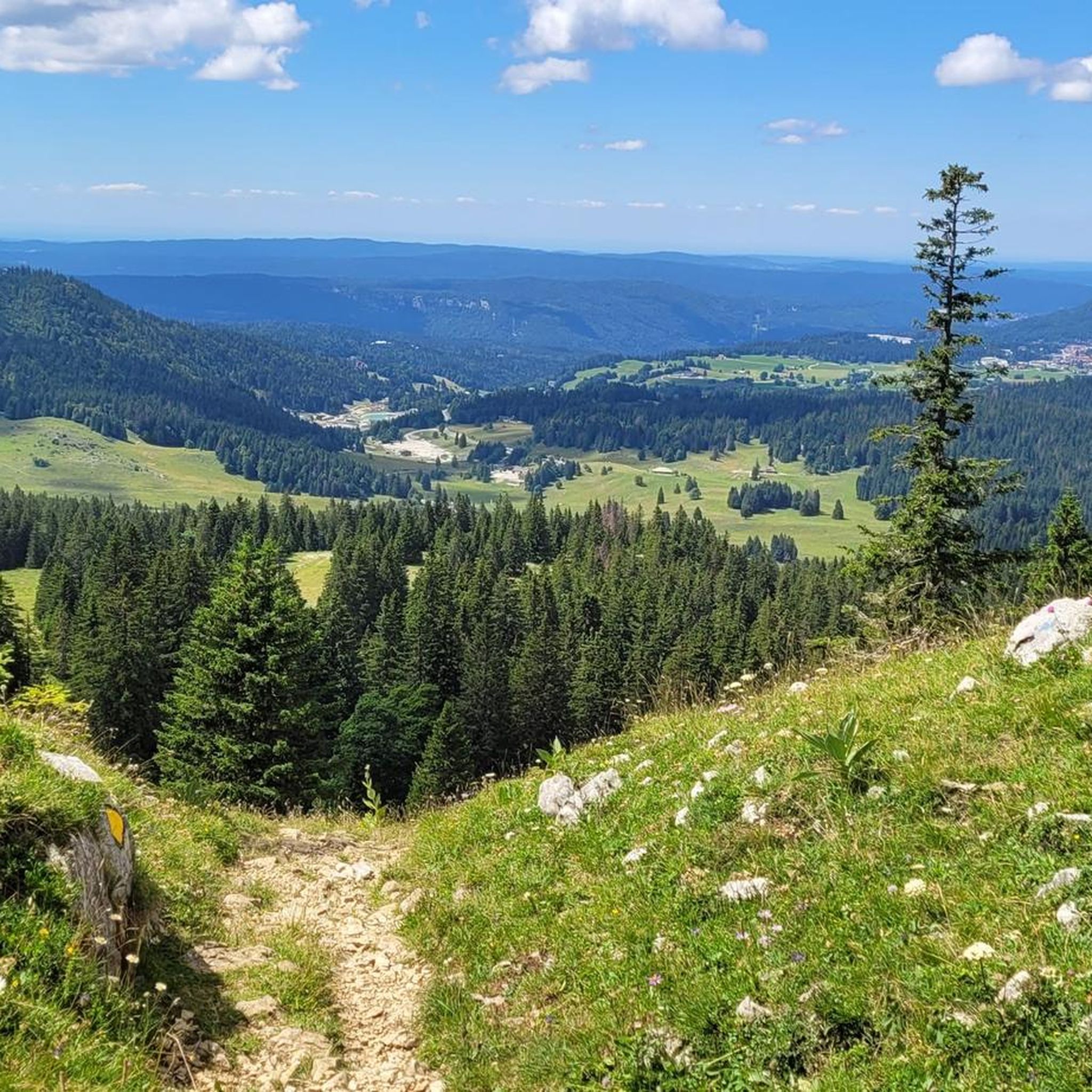
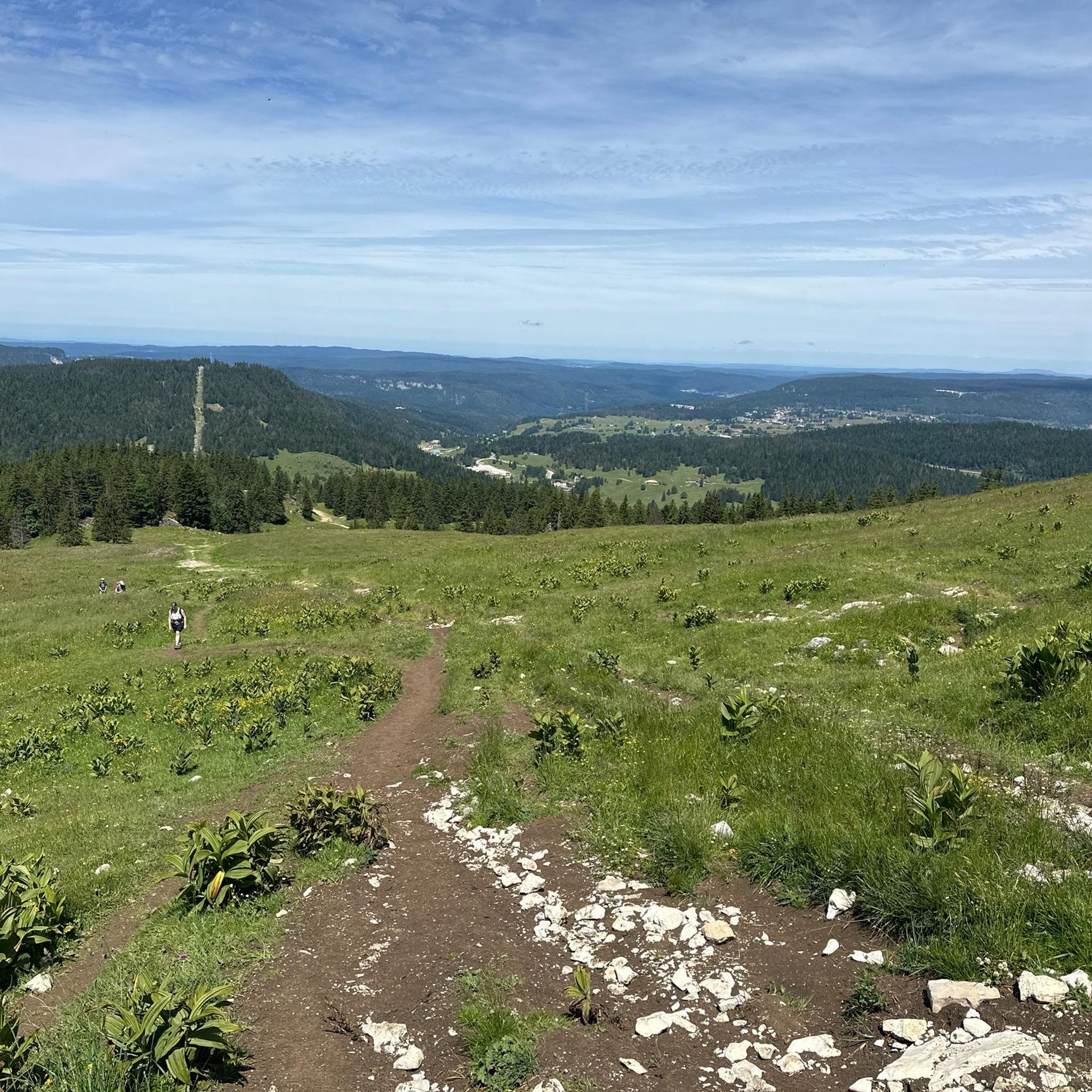
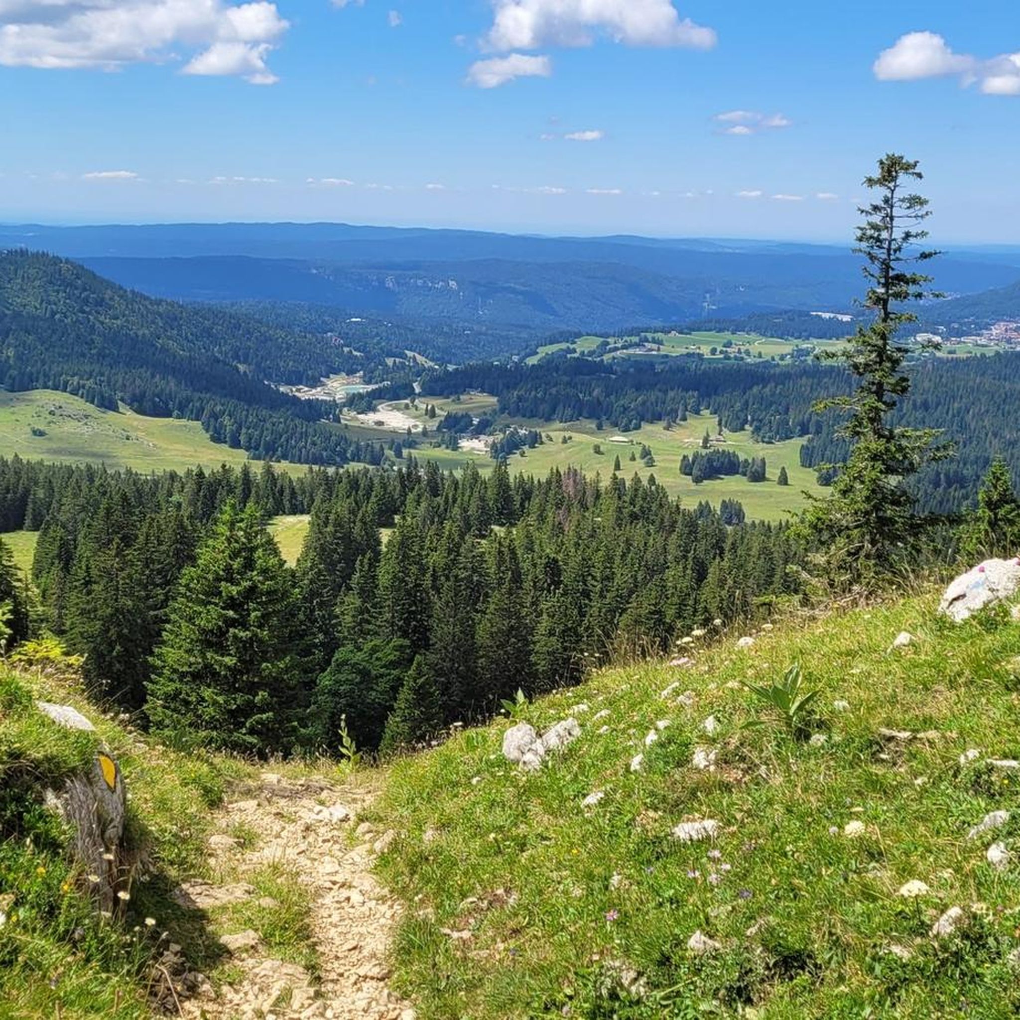
Tips from the Community

Amazing views of the Alps - a huge panorama!
0
0

View of Mt. Blanc between the trees
0
0

steep climb, walking shoes recommended: the view is worth the effort
0
0

Greenery, small trail path, wild nature, everything is there to enjoy a breath of fresh air
1
0

Magnificent view of the summit. Early in the morning, the material gondola is in operation
0
0

Beautiful section of the Jura Ridge Trail
5
0
Beautiful mountain range with a wonderful panorama
5
1
Frequently Asked Questions
How many mountaineering routes are available around Gingins?
Komoot offers a selection of 14 distinct mountaineering routes around Gingins. These trails provide a range of experiences, from moderate ascents to more challenging, difficult routes, all set within the picturesque Jura Mountains.
What kind of terrain and difficulty can I expect on mountaineering routes near Gingins?
The mountaineering routes around Gingins are primarily strenuous mountain hikes and alpine treks within the Jura Mountains. They often involve significant elevation gains through picturesque Jura forests and alpine pastures. While not technical climbing, many routes require good fitness and sure-footedness, with difficulties typically ranging from T2 to T4 on the Swiss Alpine Club (SAC) Hiking Scale. You'll find 11 moderate and 3 difficult routes in this guide.
Are there any circular mountaineering routes around Gingins?
Yes, several routes around Gingins are designed as loops, allowing you to start and end at the same point. For example, you could try the challenging La Dôle loop from Les Pralies, or the moderate View of La Dôle Summit – La Dôle Summit loop from Les Cheseaux, both offering extensive views.
What are the main natural features and scenic viewpoints along these routes?
The region is dominated by the Jura Mountains, featuring prominent peaks like La Dôle Summit (1,677m) and La Barillette (1,522m). From their summits, you'll be rewarded with magnificent 360-degree views encompassing Lake Geneva, the Swiss Plateau, and the majestic peaks of the distant Alps, including Mont Blanc. The trails also wind through beautiful Jura forests and expansive alpine pastures.
Are there any routes suitable for experienced mountaineers seeking a challenge?
Absolutely. For those seeking a more demanding experience, routes like the La Dôle loop from Les Pralies or the Col de Porte (Jura) – La Dôle Summit loop from Les Cheseaux are rated as difficult. These routes involve significant elevation gains and require good fitness and sure-footedness, offering rewarding challenges and extensive views.
What is the best time of year for mountaineering in Gingins?
The best time for mountaineering in Gingins is typically from late spring through early autumn when the trails are clear of snow and the weather is most favorable. The region's alpine pastures and forests are particularly beautiful during these seasons. In winter, the north side of La Dôle becomes a destination for winter sports, including snowshoeing, but specific mountaineering routes may be inaccessible or require specialized gear.
Are there any interesting landmarks or historical sites near the mountaineering trails?
While the focus is on natural beauty, you can find some interesting points nearby. For instance, the La Dôle Summit itself is recognizable by its white radar ball, which serves as a weather station. Additionally, you might explore the Col de Porte (Jura), a mountain pass, or venture to historical sites like the Ruins of the Notre-Dame d'Oujon Charterhouse or Château de Prangins, though these are not directly on the mountaineering routes.
Can I reach the mountaineering trails around Gingins using public transport?
Many starting points for trails in the Jura Mountains, including those around Gingins, are accessible by public transport. For example, the La Dôle loop from Col de la Givrine starts near a public transport hub, making it convenient for those without a car. It's always recommended to check local bus or train schedules for specific trailheads.
Are there options for parking near the trailheads?
Yes, many popular trailheads in the Jura Mountains, especially those leading to prominent peaks like La Dôle, offer designated parking areas. For routes starting from locations like Les Pralies, Les Cheseaux, or Col de la Givrine, you can typically find parking facilities, though it's advisable to arrive early during peak seasons.
What do other mountaineers enjoy most about the routes around Gingins?
Mountaineers frequently praise the extensive panoramic views from peaks like La Dôle, which offer breathtaking vistas of Lake Geneva and the distant Alps. The diverse Jura landscape, with its forests and alpine pastures, also provides a continuously scenic backdrop for challenging and rewarding hikes. The komoot community has explored these routes over 60 times, highlighting their appeal.
Are the mountaineering routes around Gingins suitable for families or dog-friendly?
Given that many routes involve significant elevation gains and are rated as moderate to difficult, they are generally best suited for families with older children who are experienced hikers and have good fitness. For dogs, the trails are often suitable, but due to the presence of alpine pastures and potential wildlife, dogs should be kept on a leash, and local regulations regarding dogs in nature reserves should be observed. Always check specific route details for suitability.
Are there any shorter, less strenuous mountaineering options for a quicker outing?
While many routes are longer and more challenging, you can find shorter options. For instance, the La Dôle loop from Col de la Givrine is a moderate 3.5-mile (5.6 km) trail that can be completed in about 2 hours 14 minutes, offering a taste of the Jura terrain without committing to a full-day trek.
Most popular routes around Gingins
Most popular attractions around Gingins

Get inspired with the komoot mobile app


Explore more
Browse the best Mountain Hikes & Routes in other regions.
