The best mountain hikes around Ebro / Ebre
4.0
(2)
7
hikers
1
hike
Mountaineering routes around Ebro / Ebre traverse a region characterized by varied terrain and notable elevation changes. The area offers a range of paths suitable for exploring its natural features. These routes often involve ascents and descents, providing opportunities for outdoor activity.
Best mountaineering routes around Ebro / Ebre
- The most popular mountaineering route is Ruins of the Mas de Mata-Redona – Mas Mata-redona loop from Area recreativa de la Mundana, a 7.4 miles (11.9 km) trail that takes…
Last updated: July 3, 2026
5
hikers
Moderate mountaineering route. Good fitness required. Easily-accessible paths. Suitable for all skill levels.
5.0
(1)
1
hikers
7.43km
02:51
500m
500m
Moderate mountaineering route. Good fitness required. Easily-accessible paths. Suitable for all skill levels.

Sign up for free
3.0
(1)
1
hikers
3.67km
01:37
250m
250m
Hard mountaineering route. Great for any fitness level. Sure-footedness, sturdy shoes and alpine experience required.
Our route recommendations are based on thousands of hikes, rides, and runs completed by other people on komoot.
Start today with a free account
Your next adventure awaits.
Login or Signup
Popular around Ebro / Ebre
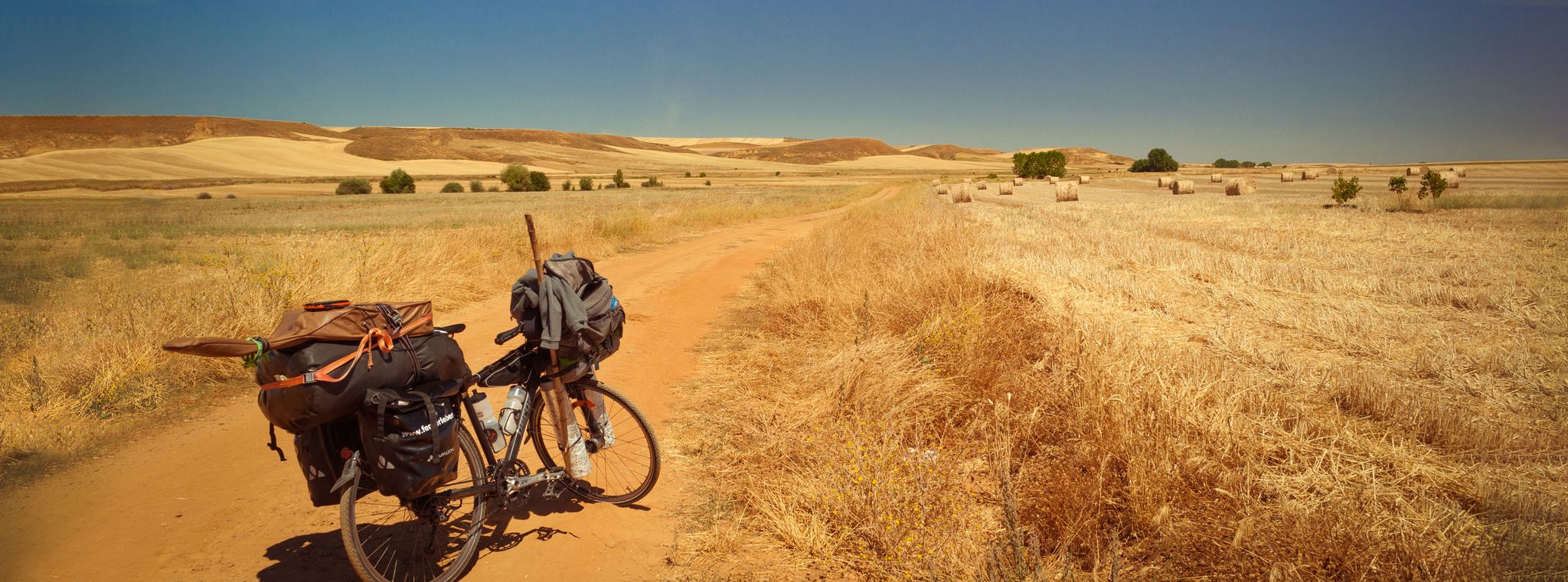
Camino Francés and Camino Finisterre – Cycling pilgrimages in Spain
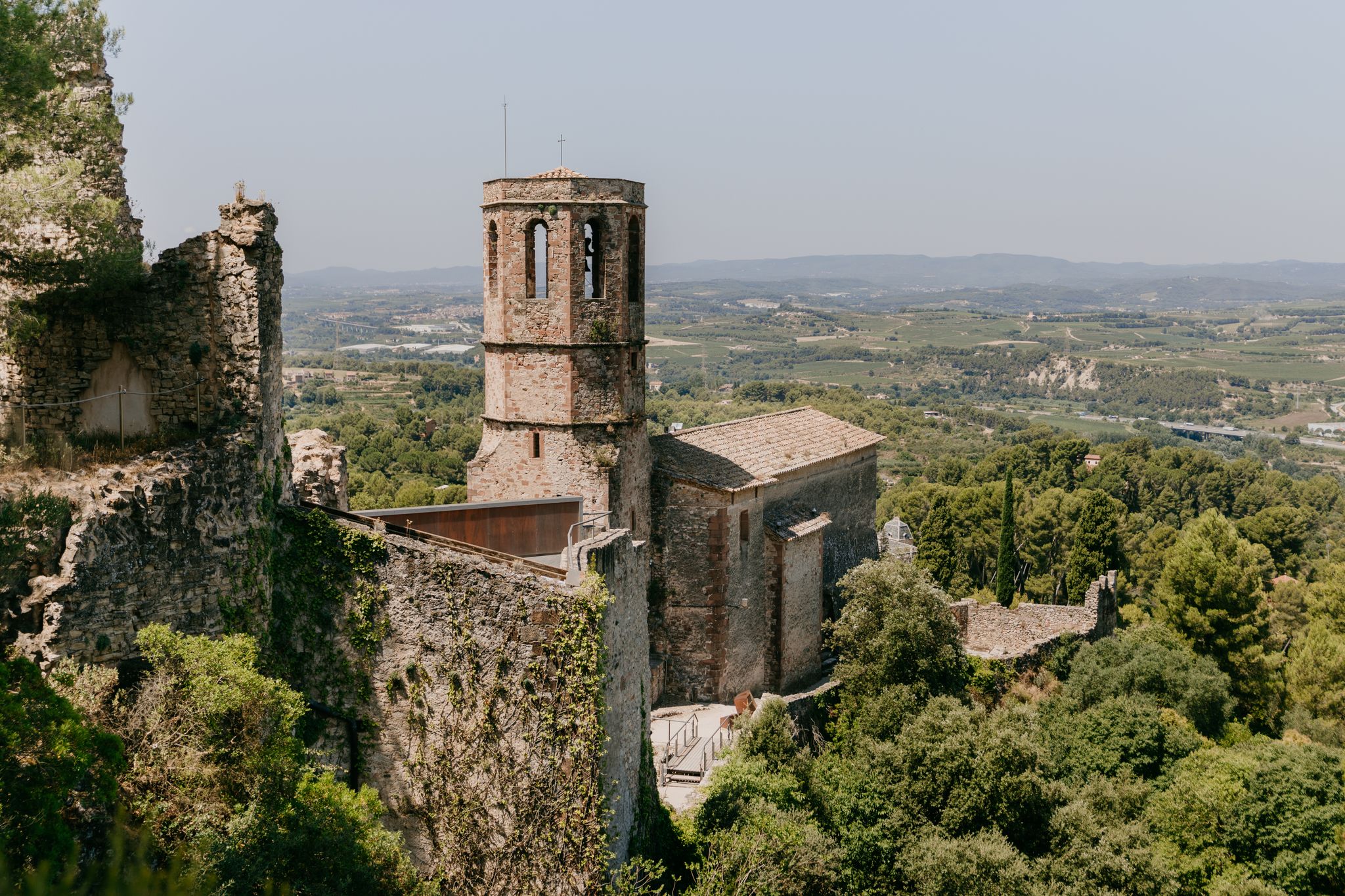
Catalonia by bike — Itineraries between culture and nature

TransCantabrica – Extreme mountain biking in northern Spain
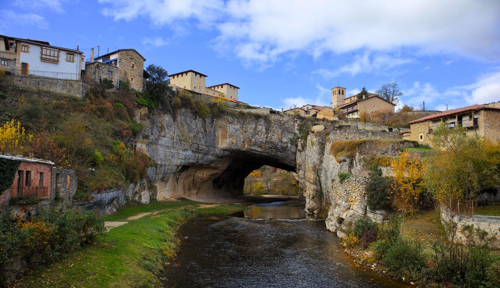
Endless valleys and historic villages – Route of the Senses (GR 85)
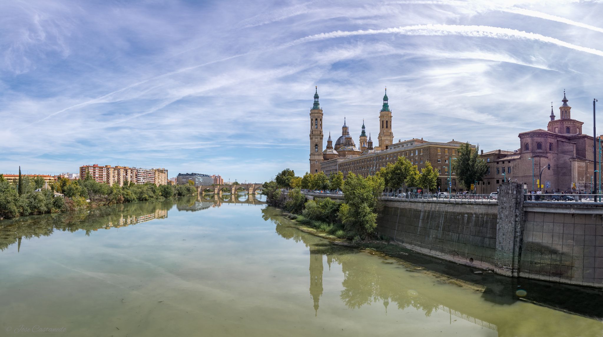
A river getaway – Ebro Natural Trail (GR 99)
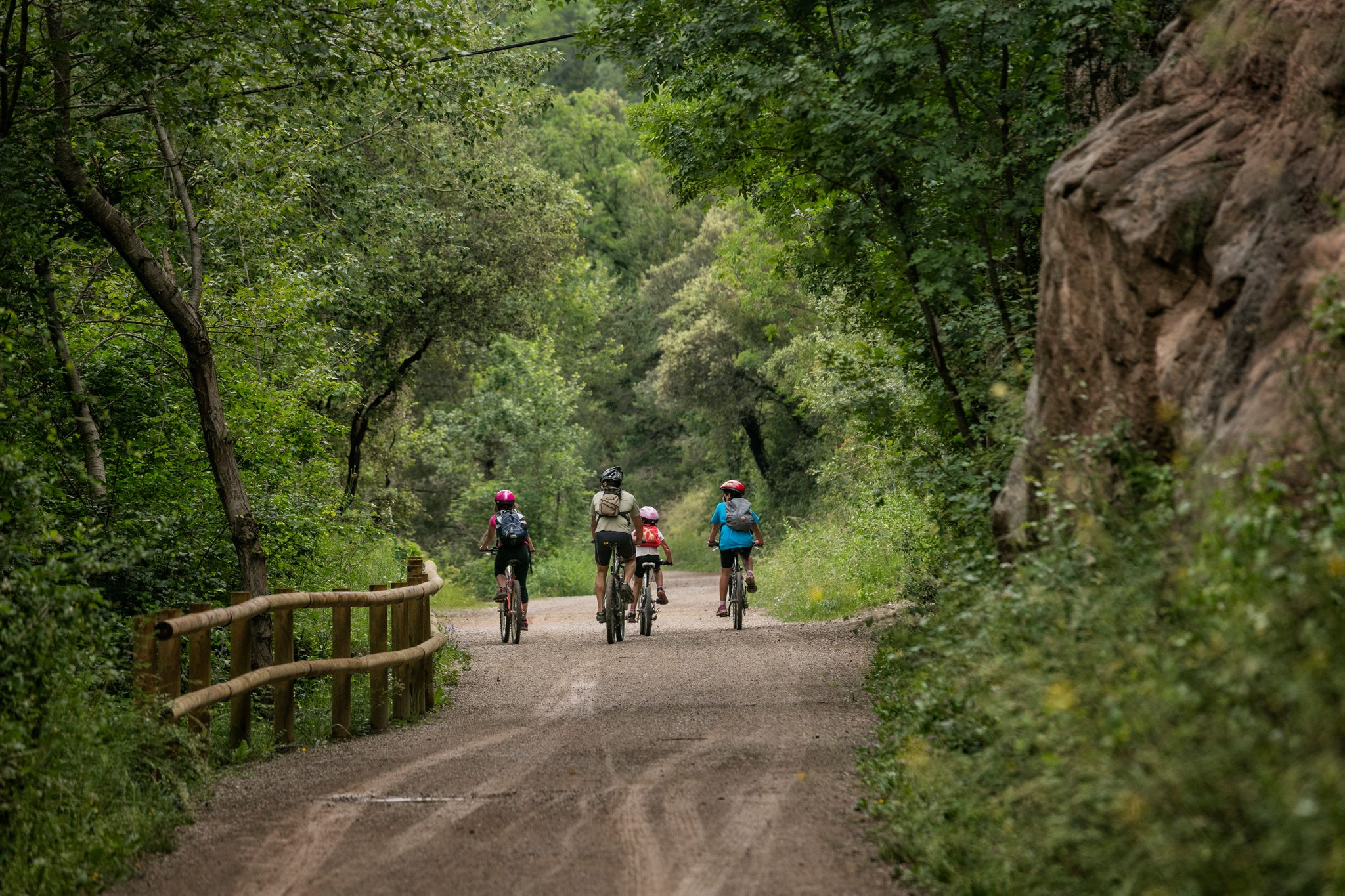
Discover Catalonia on your bike
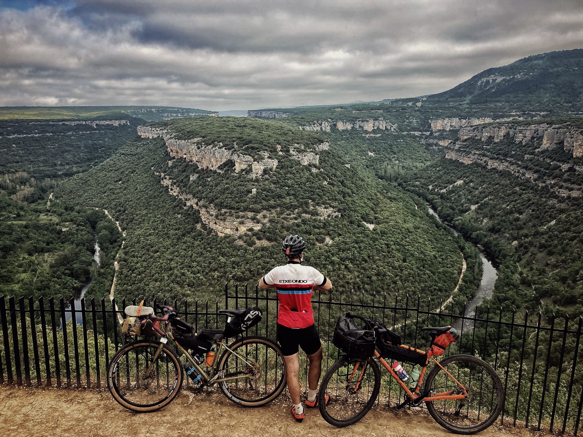
Spain's great river by bike – the Ebro Nature Trail
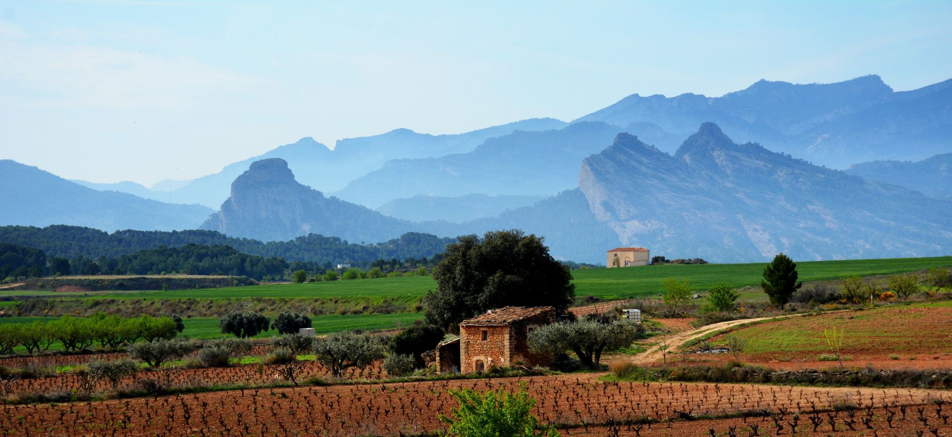
From the heart of southern Catalonia – GR 171
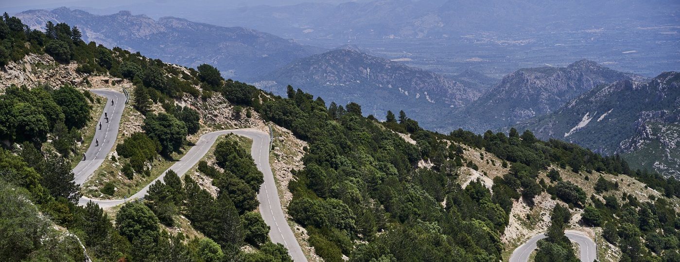
Explore Spain’s Ebro lands – a cycling paradise
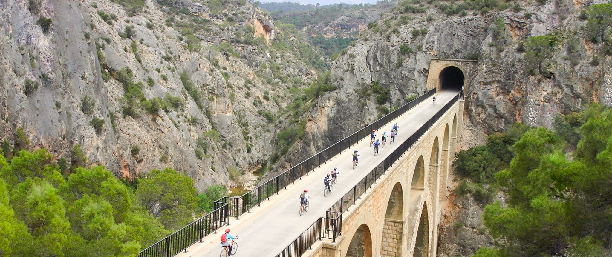
Vías Verdes – traffic-free cycling along railway history in Spain
Other adventures around Ebro / Ebre


Tips from the Community

Don't forget the 📷
0
0

Unfortunately it's already very overgrown, but it's a very interesting insight into the past.
0
0
Some alpine hiking experience is required. While the trails are all manageable, they are a bit slippery in places due to loose scree. However, with hiking poles and proper hiking boots, the route is easily manageable. There are some sections through shady forest areas at the beginning, and further up, the trail opens up into the sun. Be sure to bring plenty of water. The summit offers fantastic panoramic views. A worthwhile hike for us. ...
0
0

I walked this route today It is a beautiful walk and the view of La Foradada is phenomenal. Up to this point it is relatively easy walking, after that a very tough descent begins with a lot of climbing over steep slopes and narrow paths If you have no (mountain) walking experience, are afraid of heights and/or are not 'trittsicher' I would not recommend this walk Good shoes are a must and walking sticks are recommended. Furthermore, I adjusted the route at the end; once on the dirt road (last part) I walked straight ahead At a certain point, in sight of the P, you can reach the other side via a path. It is very nice to walk, at the end
0
0


This campsite, located in the municipality of Tivisa, is the perfect base for exploring the surrounding area. You can practice all kinds of sports, such as hiking, climbing, caving and canyoning. It has different types of accommodation, from pitches for motorhomes or campers to bungalows and shared rooms.
1
0

It is an easy route from San Carles de la Ràpita, very entertaining and with a spectacular finish due to the wonderful views of the Ebro delta. When you arrive it is worth spending a long time contemplating the views and enjoying the surroundings and appreciating what we have. Regards!!!!!
2
1

Old farmhouse located under the Mata-redona mill, forming one of the only flats in the Montsià mountain range.
1
0
Frequently Asked Questions
What kind of terrain can I expect on mountaineering routes in the Ebro / Ebre region?
Mountaineering routes around Ebro / Ebre are characterized by varied terrain and notable elevation changes. You'll encounter paths that involve both ascents and descents, providing a diverse outdoor experience.
Are there any circular mountaineering routes available in Ebro / Ebre?
Yes, the Ebro / Ebre region offers several circular routes. For example, the Ruins of the Mas de Mata-Redona – Mas Mata-redona loop from Area recreativa de la Mundana is a moderate 11.9 km trail, and the Racó Mamadits – la Foradada loop from Area recreativa de la Mundana is another popular moderate circular option covering 7.6 km.
What are some of the longer mountaineering routes in the Ebro / Ebre area?
For a longer mountaineering experience, consider the Ruins of the Mas de Mata-Redona – Mas Mata-redona loop from Area recreativa de la Mundana. This moderate route spans 11.9 km and typically takes around 3 hours and 50 minutes to complete, featuring significant elevation gain.
Are there any challenging mountaineering routes for experienced hikers in Ebro / Ebre?
Yes, for those seeking a more challenging experience, the Cova de la Llena loop from Tivissa is a difficult 3.7 km trail. While shorter, it leads through diverse landscapes with considerable elevation changes, often completed in about 1 hour and 37 minutes.
What kind of attractions can I find near the mountaineering routes in Ebro / Ebre?
The Ebro / Ebre region is rich in natural and historical sights. You might encounter impressive natural features like the Turquoise Pools and Waterfalls of Orbaneja del Castillo or the Cliffs of Lapuebla de Labarca. Historic structures such as the Logroño Stone Bridge and the Basilica of Our Lady of the Pillar are also within the broader area.
What do other mountaineers say about the routes in Ebro / Ebre?
The mountaineering routes in Ebro / Ebre are highly rated by the komoot community, with an average score of 4.0 stars from over 2 reviews. Many of the 7 mountaineers who have explored the area praise the varied terrain and the opportunities for outdoor activity.
Are there any routes suitable for a shorter mountaineering trip in Ebro / Ebre?
If you're looking for a shorter mountaineering trip, the Cova de la Llena loop from Tivissa is a good option. This difficult 3.7 km trail can typically be completed in about 1 hour and 37 minutes, offering a rewarding experience in a compact timeframe.
Are there any trails that offer scenic views of the Ebro Gorge?
Yes, for breathtaking views of the Ebro Gorge, you can explore highlights like the View of the Ebro Gorge from Alto de los Tornos. This viewpoint offers a stunning perspective of the canyon's natural beauty.
What is the typical duration for a moderate mountaineering route in Ebro / Ebre?
Moderate mountaineering routes in Ebro / Ebre can vary in length and duration. For instance, the Racó Mamadits – la Foradada loop from Area recreativa de la Mundana is a 7.6 km path that typically takes around 2 hours and 53 minutes to complete.
Are there any specific trails that are part of a larger network, like the Ebro Trail?
Yes, the region features sections of larger trail networks. You can find parts of the Ebro Trail and the Ebro Nature Trail, which offer opportunities to explore the river's course and surrounding landscapes.
What are the general characteristics of mountaineering in the Ebro / Ebre region?
Mountaineering in Ebro / Ebre is defined by its varied terrain and significant elevation changes. The routes provide opportunities to engage with the natural environment, offering paths suitable for different ability levels and interests.
Most popular routes around Ebro / Ebre
Most popular attractions around Ebro / Ebre

Get inspired with the komoot mobile app


