The best running trails around Guilmi
5.0
(1)
60
runners
5
runs
Jogging routes around Guilmi offer a diverse landscape for runners, situated in the hilly Abruzzo region of Italy. The area features natural elevation changes, providing challenging routes with views of the Sinello Valley and the Majella mountains. Runners can explore a mix of natural paths, trails along the valley floor, and the historic medieval village itself. This environment provides varied terrain suitable for different running preferences.
Best jogging routes around Guilmi
- The most popular jogging route is Lago di Bomba…
Last updated: July 4, 2026
1
runners
7.53km
00:55
200m
200m
Moderate run. Good fitness required. Mostly paved surfaces. Suitable for all skill levels.
5.0
(1)
45
runners
9.05km
01:13
300m
300m
Hard run. Very good fitness required. Mostly paved surfaces. Suitable for all skill levels.

Sign up for free
6
runners
11.7km
01:20
330m
330m
Hard run. Very good fitness required. Mostly paved surfaces. Suitable for all skill levels.
5
runners
20.7km
02:23
640m
650m
Hard run. Very good fitness required. Mostly paved surfaces. Suitable for all skill levels.
3
runners
6.11km
00:39
100m
100m
Moderate run. Good fitness required. Mostly paved surfaces. Suitable for all skill levels.
Our route recommendations are based on thousands of hikes, rides, and runs completed by other people on komoot.
Start today with a free account
Your next adventure awaits.
Login or Signup
Popular around Guilmi


Tips from the Community

Lake Boma is an artificial lake, 262m high, 7km long, and with a maximum depth of approx. 57 meters. This lake was built by ACEA in 1950, to feed a power plant.
1
0
Frequently Asked Questions
How many jogging routes are there in Guilmi?
Komoot features 5 dedicated jogging routes around Guilmi. These routes offer a variety of experiences, from moderate loops to more challenging trails with significant elevation changes.
Are there running routes suitable for beginners in Guilmi?
While Guilmi's terrain is generally hilly, there are moderate options available. For instance, the Lago di Bomba – ring tour is a moderate 4.7-mile (7.5 km) trail that takes about 54 minutes, offering scenic views around the lake without extreme difficulty.
Can I find challenging running trails with significant elevation around Guilmi?
Absolutely. Guilmi is situated in a hilly region, providing natural elevation changes ideal for challenging runs. The Mura Megalitiche di Pallanum loop from Tornareccio is a difficult 5.6-mile (9.1 km) path featuring significant elevation gain through varied terrain, perfect for experienced runners.
What kind of scenery can I expect on running routes near Guilmi?
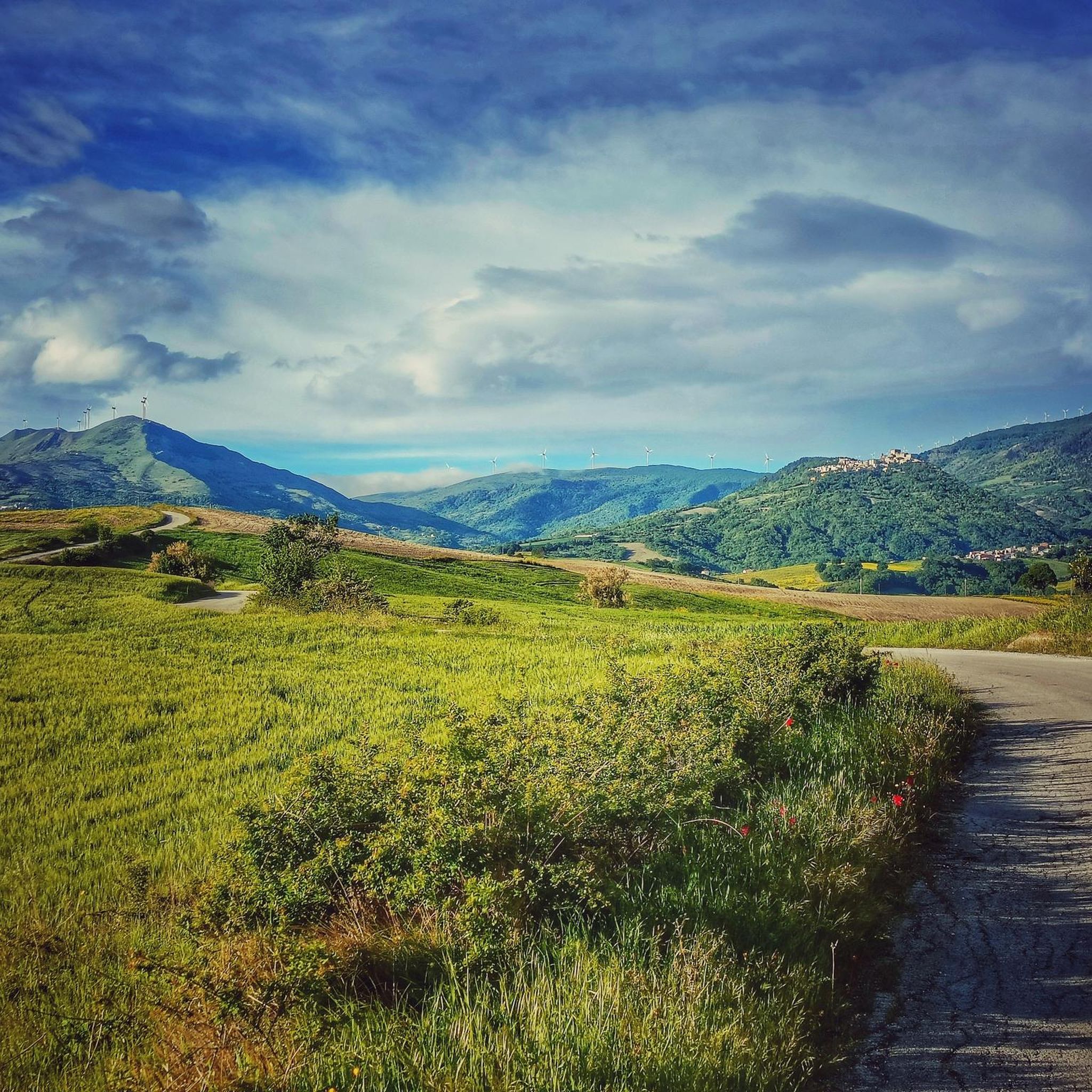
Runners in Guilmi can expect breathtaking landscapes and pristine nature. Routes often provide stunning views of the surrounding Sinello Valley, the majestic Majella mountains, and on clear days, even the Adriatic Sea. You'll encounter lush vegetation, natural paths, and potentially ancient trees, especially on trails like the Bosco di Vallaspra loop from Atessa which leads through forested areas.
Are there any circular running routes available in the Guilmi area?
Yes, several circular running routes are available. A popular choice is the Lago di Bomba – ring tour, which offers a scenic loop around the lake. Another option is the Running loop from Tornareccio, a moderate 3.8-mile (6.1 km) route.
Are the running trails around Guilmi suitable for families?
While specific family-friendly trails are not detailed, the region offers diverse paths. Families looking for lighter activity might enjoy exploring the historic medieval village's cobbled streets or the gentler sections of trails along the Sinello Valley. Always check route details for distance and elevation to ensure it suits your family's fitness level.
Are dogs allowed on the running routes in Guilmi?
The Abruzzo region generally welcomes dogs on its extensive trail network, provided they are kept on a leash and owners clean up after them. It's always recommended to check local signage or specific park regulations for any restrictions on individual routes or protected areas.
Where can I park when accessing running trails near Guilmi?
Parking availability will vary depending on the specific trailhead. For routes starting from nearby towns like Tornareccio or Atessa, you can typically find parking in or near the village centers. When planning your run, it's advisable to check the starting point of your chosen route for specific parking information.
What is the best time of year to go jogging in Guilmi?
The best time to visit Guilmi for outdoor activities like jogging is generally during the spring (April-June) and autumn (September-October) months. During these seasons, the weather is typically mild and pleasant, making for comfortable running conditions and showcasing the region's natural beauty. Summer can be warm, while winter may bring colder temperatures and potential snow at higher elevations.
What do other runners enjoy about the jogging routes in Guilmi?
The komoot community highly rates the jogging experience in Guilmi, with an average score of 5.0 stars. Runners often praise the varied terrain, the stunning panoramic views of the Sinello Valley and Majella mountains, and the opportunity to combine physical activity with exploring the region's pristine nature and historic charm.
Are there any running routes that pass by historical sites or cultural points of interest in Guilmi?
Yes, Guilmi itself is a historic medieval village with cobbled streets. Jogging through the village offers a unique cultural dimension, allowing you to explore its ancient pathways and architecture. The region also offers 'Cultural Routes to Discover the History of Guilmi,' which can be adapted for light jogging or walking to combine exercise with historical exploration.
How long do the running routes around Guilmi typically take to complete?
The duration of running routes around Guilmi varies depending on the distance and difficulty. For example, a moderate route like the Lago di Bomba – ring tour (4.7 miles / 7.5 km) typically takes about 54 minutes. More challenging routes, such as the Bosco di Vallaspra loop from Atessa (7.3 miles / 11.7 km), can take around 1 hour 20 minutes.
Can I access running routes in Guilmi using public transport?
Guilmi is a small village in a rural area, so public transport options might be limited compared to larger cities. While local bus services may connect Guilmi to nearby towns, direct access to specific trailheads via public transport might require some planning. It's advisable to check local bus schedules and routes in advance if you plan to rely on public transport.

Get inspired with the komoot mobile app


Explore more
Browse the best Running Trails & Routes in other regions.
