The best running trails around Atessa
4.0
(2)
362
runners
34
runs
Jogging routes around Atessa offer diverse terrain across its position on a ridge approximately 420 meters above sea level. The region is characterized by a network of hills, crisscrossed by tributaries of the Sangro and Osento rivers, providing varied paths. Runners can experience panoramic views stretching across the Sangro Valley, towards the Adriatic Coast, and reaching the Majella Mountains. Nearby natural areas like Monte Pallano Natural Park also contribute to the scenic running opportunities.
Best jogging routes around Atessa
- The…
Last updated: August 27, 2026
1
runners
7.53km
00:55
200m
200m
Jog this moderate 4.7-mile (7.5 km) loop around Lago di Bomba, featuring 655 feet (200 metres) of elevation gain and scenic lake views.
5.0
(1)
45
runners
9.04km
01:13
300m
300m
Hard run. Very good fitness required. Mostly paved surfaces. Suitable for all skill levels.

Sign up for free
4
runners
8.98km
00:57
80m
80m
Moderate run. Good fitness required. Mostly paved surfaces. Suitable for all skill levels.
8
runners
11.7km
01:20
330m
330m
Hard run. Very good fitness required. Mostly paved surfaces. Suitable for all skill levels.
5
runners
4.34km
00:29
30m
30m
Easy run. Great for any fitness level. Mostly paved surfaces. Suitable for all skill levels.
Get access to more routes and recommendations from other explorers.
Sign up for free
Already have an account?
Our route recommendations are based on thousands of hikes, rides, and runs completed by other people on komoot.
Start today with a free account
Your next adventure awaits.
Login or Signup
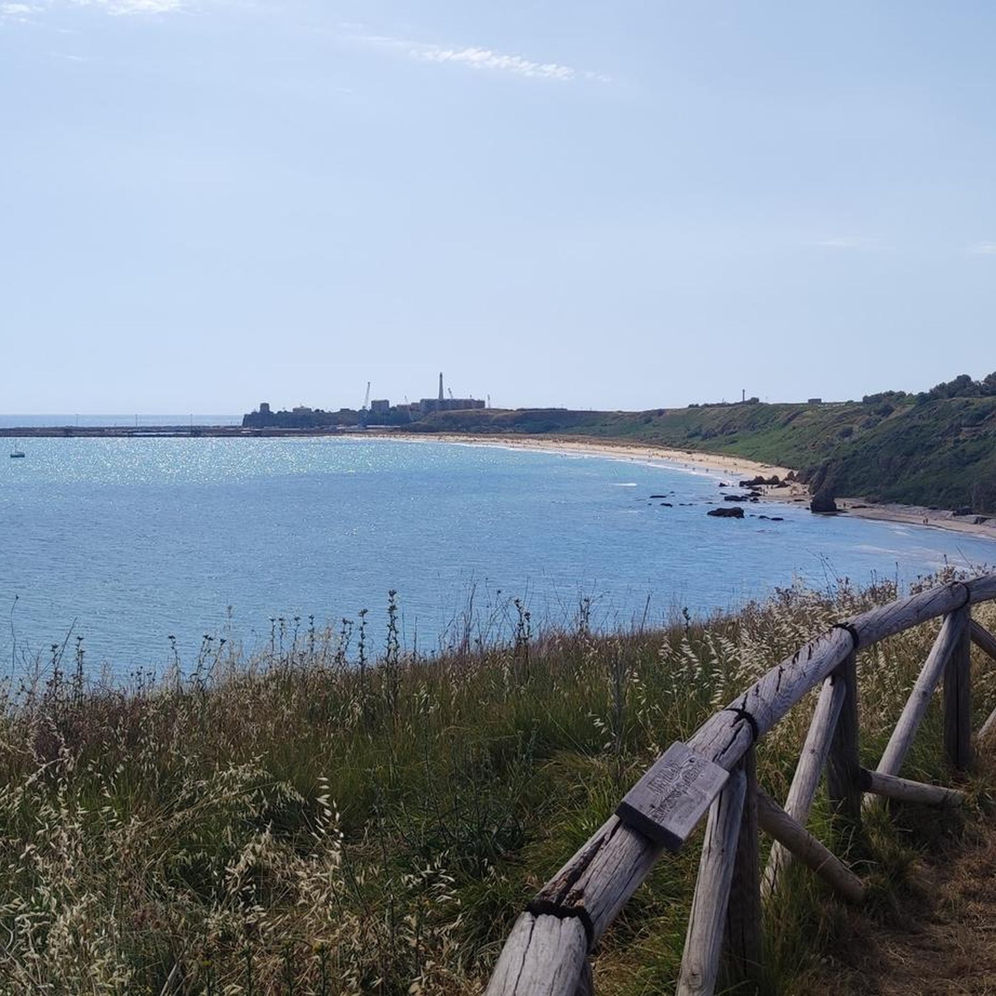
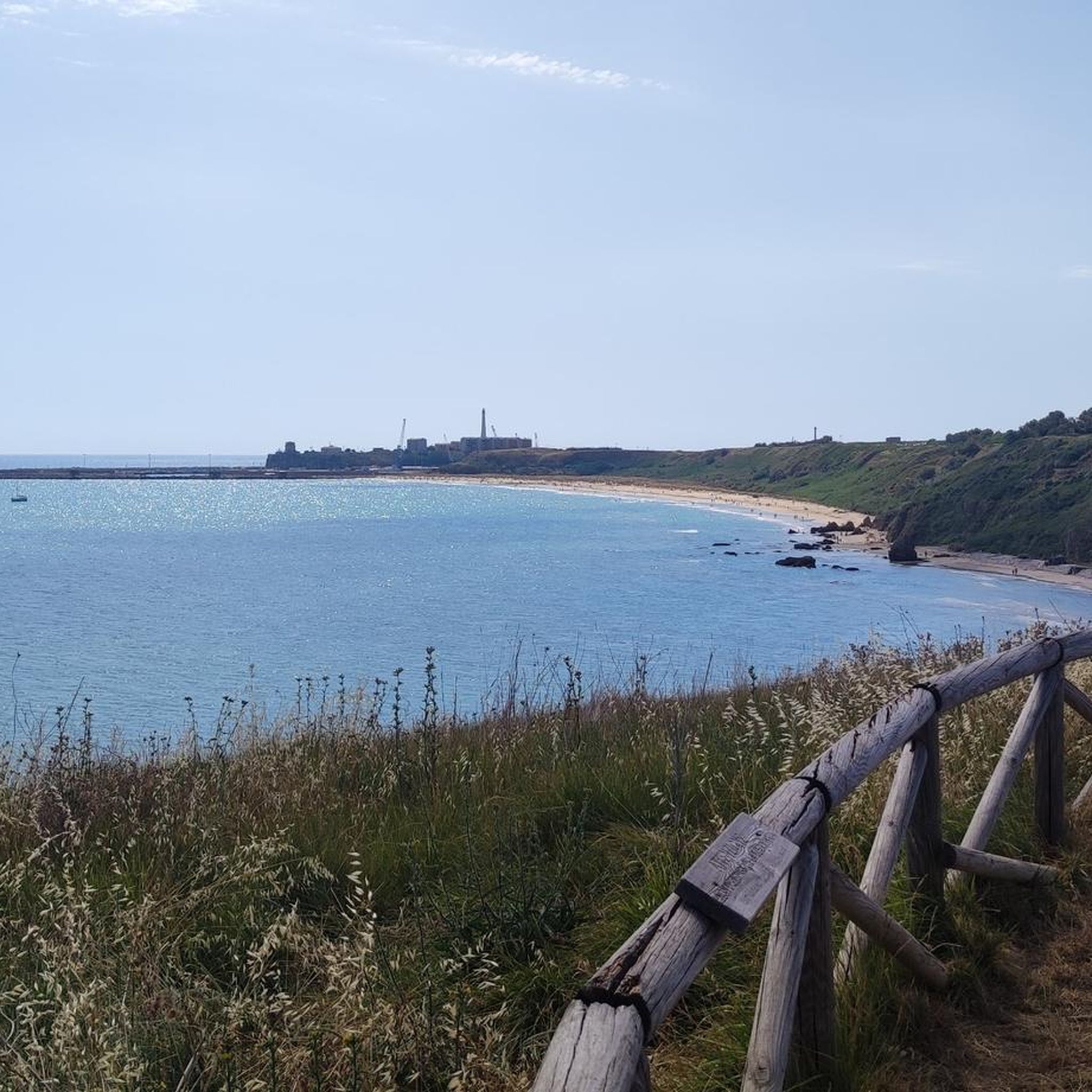
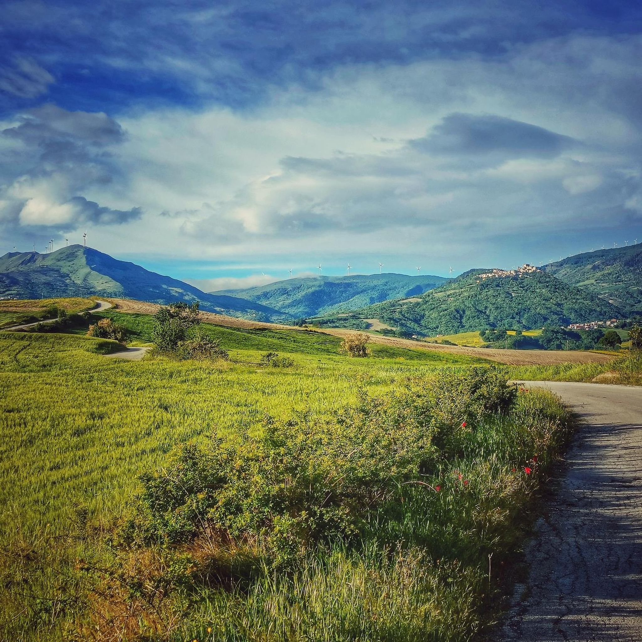
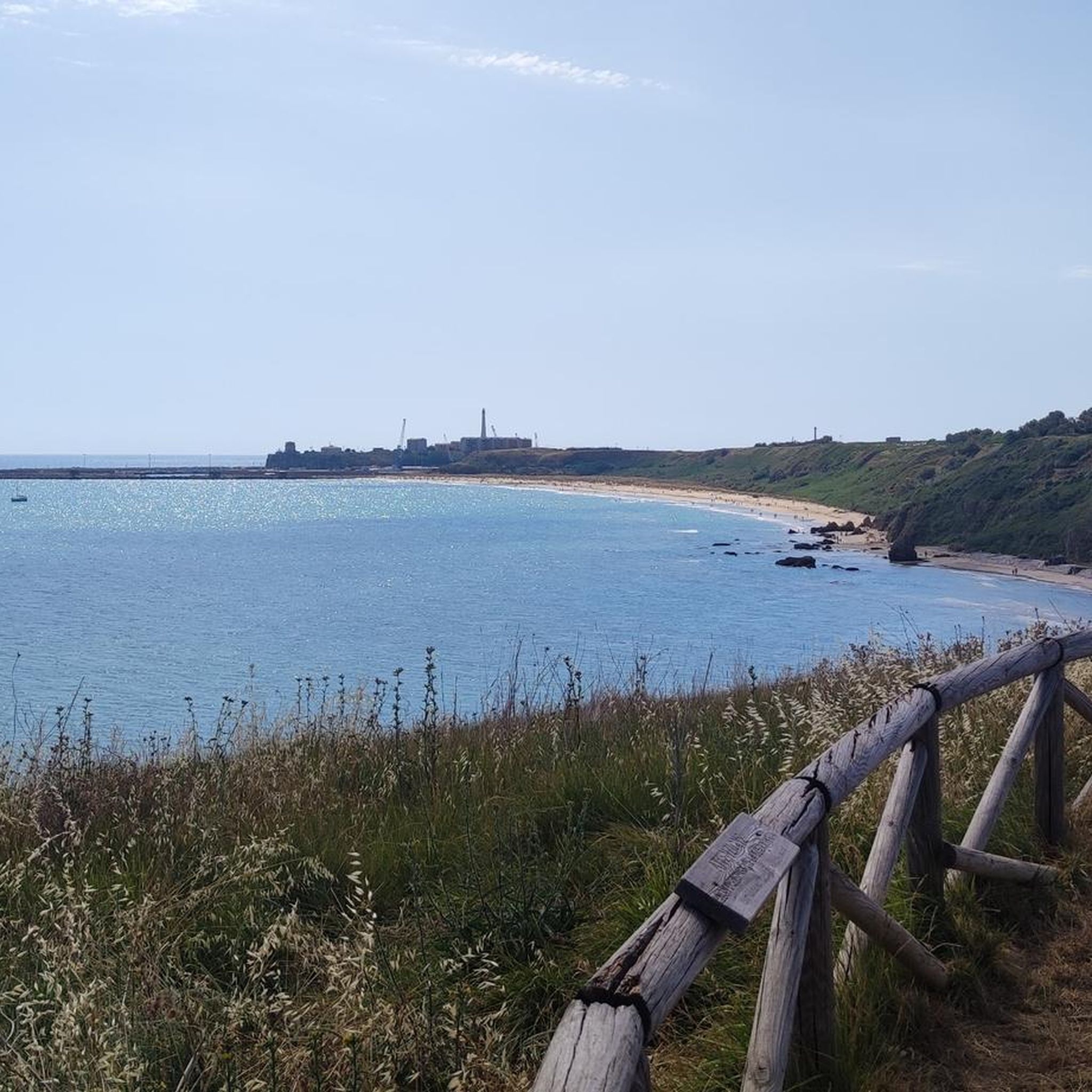

Tips from the Community

Lake Boma is an artificial lake, 262m high, 7km long, and with a maximum depth of approx. 57 meters. This lake was built by ACEA in 1950, to feed a power plant.
1
0
Frequently Asked Questions
How many running routes are available around Atessa?
Komoot offers a selection of over 25 running routes around Atessa, catering to various fitness levels and preferences. You'll find a mix of easy, moderate, and challenging trails to explore.
What kind of terrain can I expect on jogging routes in Atessa?
Jogging around Atessa offers diverse terrain. You can expect hilly paths due to its ridge location, scenic river valleys, and panoramic ridge routes. The surrounding Abruzzo region also provides extensive forests and natural parks for varied running experiences.
Are there any easy or beginner-friendly running paths in Atessa?
Yes, Atessa offers several easier running options. Out of the 26 routes available, 5 are classified as easy, making them suitable for beginners or those looking for a more relaxed run. These routes often feature less elevation gain and smoother paths.
Can I find circular running trails in the Atessa area?
Many of the running routes around Atessa are designed as loops, offering convenient circular trails. For example, the Colledimezzo and Lake Bomba Loop and the Running loop from Castello di Septe are popular circular options.
What are some scenic viewpoints or natural attractions along the running routes?
Atessa's location provides stunning panoramic views across the Sangro Valley, towards the Adriatic Coast, and reaching the Majella Mountains. Routes like the Colledimezzo and Lake Bomba Loop offer views of Lake Bomba. You can also explore natural areas like the Bosco di Don Venanzio Regional Nature Reserve for a more immersive nature experience.
Are there any historical landmarks or points of interest near the running trails?
Absolutely. The region is rich in history. You can run near the historic Castello di Roccascalegna, or explore routes around the Castello di Septe. The Mura Megalitiche di Pallanum loop from Tornareccio also takes you through historical landscapes.
What do other runners think about the trails in Atessa?
The running routes in Atessa are highly regarded by the komoot community, with an average score of 3.7 stars from 3 reviews. Over 300 runners have used komoot to explore Atessa's varied terrain, appreciating the diverse landscapes and scenic views.
Are there any specific parks or natural areas ideal for running in Atessa?
Yes, Atessa and its surroundings offer several green spaces. Monte Pallano Natural Park is a significant natural attraction with trails. Within Atessa, parks like Vallaspra Park, Villa Comunale, and Sant'Antonio Park provide opportunities for jogging. The Bosco di Vallaspra loop from Atessa is a great option for exploring Vallaspra Park.
What is the best time of year to go jogging in Atessa?
Atessa, located in the Abruzzo region, experiences varied seasons. Spring and autumn generally offer pleasant temperatures for running, with lush greenery or vibrant fall colors. Summer can be warm, especially in the valleys, so early morning or late evening runs are recommended. Winter can bring cooler temperatures, but trails remain accessible, offering a different, often quieter, experience.
Are there any running routes that feature lakes or rivers?
Yes, the region is characterized by numerous watercourses. The Colledimezzo and Lake Bomba Loop offers beautiful views of Lake Bomba. Another option is the Lago di Serranella loop from Archi, which takes you around Lake Serranella, providing a different waterside running experience.
Are the running trails around Atessa suitable for families?
While some routes are more challenging, there are easier paths that families can enjoy. Look for routes classified as 'easy' on komoot, which typically have less elevation and are shorter in distance. These can provide a pleasant outdoor experience for families looking to jog or walk together.
Most popular attractions around Atessa

Get inspired with the komoot mobile app


Explore more
Browse the best Running Trails & Routes in other regions.
