The best mountain hikes around Filattiera
5.0
(3)
21
hikers
5
hikes
Mountaineering routes around Filattiera are characterized by the rugged terrain of the Apennine mountains, offering a diverse landscape for exploration. The region features prominent peaks, alpine lakes, and dense forests, providing varied challenges for mountaineers. Elevations range significantly, with routes often leading to panoramic viewpoints and through natural reserves. This area is suitable for those seeking both moderate ascents and more challenging climbs.
Best mountaineering routes around Filattiera
- The most popular mountaineering route is Lago Palo loop from Prato Spilla, an easy 2.4 miles (3.9 km) trail that takes 1 hour 28 minutes to complete. This route offers accessible paths around a scenic alpine lake.
- Another top favourite among local mountaineers is Lake Santo Parmense – Sella del Marmagna loop from Riserva Naturale Orientata Guadine-Pradaccio, a moderate 4.5 miles (7.3 km) path. This route navigates through varied terrain, including sections near Lake Santo Parmense and the Sella del Marmagna.
- Local mountaineers also love the Monte Aquila – Bocchetta del Tavola loop from I Cancelli Demaniali, a 9.0 miles (14.6 km) trail leading through challenging mountain passes and peaks, often completed in about 6 hours 27 minutes.
- Mountaineering around Filattiera is defined by alpine lakes, mountain peaks, and natural reserves. The network offers options for different ability levels, from easy loops to advanced mountaineering.
- The routes in Filattiera are highly rated by the komoot community with an average score of 4.8 stars from a few reviews. More than 20 mountaineers have used komoot to explore Filattiera's varied terrain.
Last updated: July 4, 2026
10
hikers
Moderate mountaineering route. Good fitness required. Mostly accessible paths. Sure-footedness required.
2
hikers
5.98km
02:20
360m
360m
Hard mountaineering route. Good fitness required. Sure-footedness, sturdy shoes and alpine experience required.

Sign up for free
5.0
(1)
4
hikers
12.0km
04:42
630m
630m
Moderate mountaineering route. Good fitness required. Mostly accessible paths. Sure-footedness required.
5.0
(1)
1
hikers
3.92km
01:29
260m
260m
Easy mountaineering route. Great for any fitness level. Easily-accessible paths. Suitable for all skill levels.
5.0
(1)
4
hikers
16.4km
06:27
820m
820m
Hard mountaineering route. Very good fitness required. Mostly accessible paths. Sure-footedness required.
Our route recommendations are based on thousands of hikes, rides, and runs completed by other people on komoot.
Start today with a free account
Your next adventure awaits.
Login or Signup
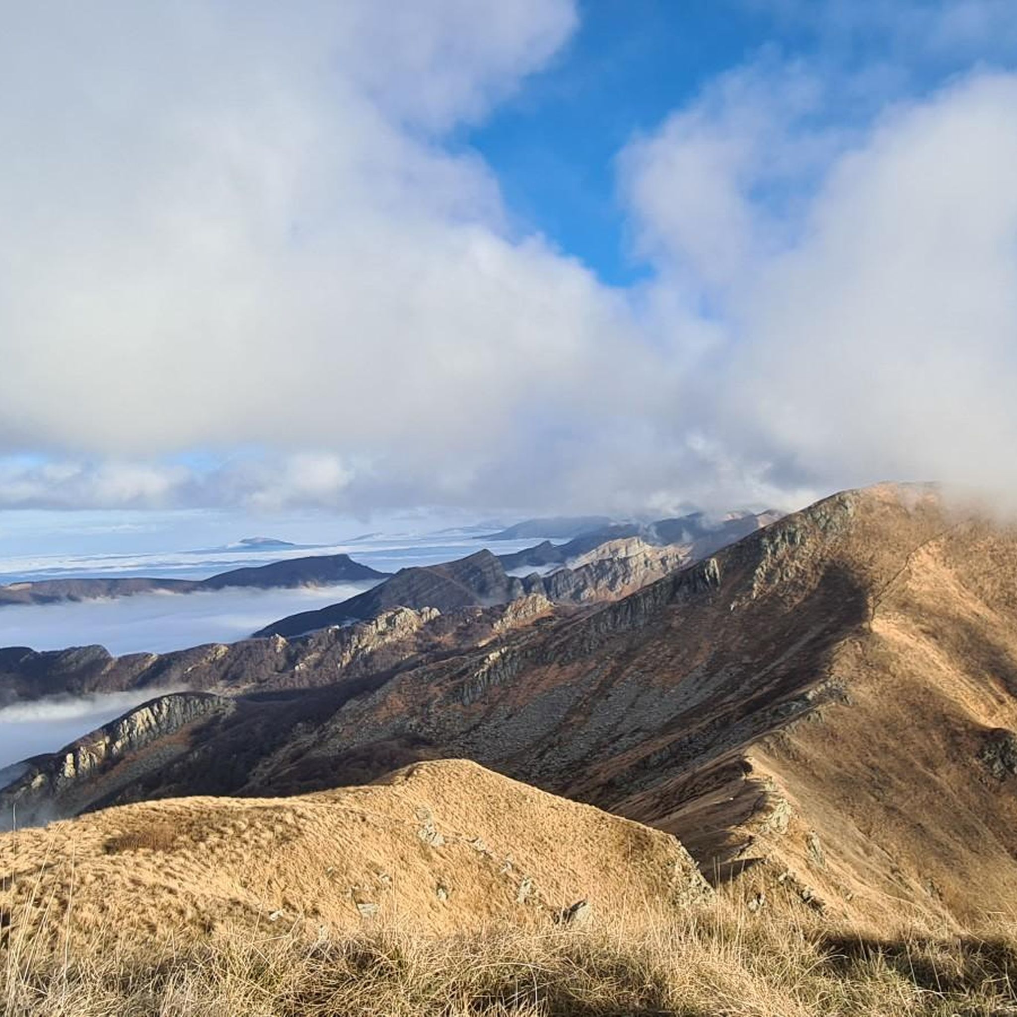
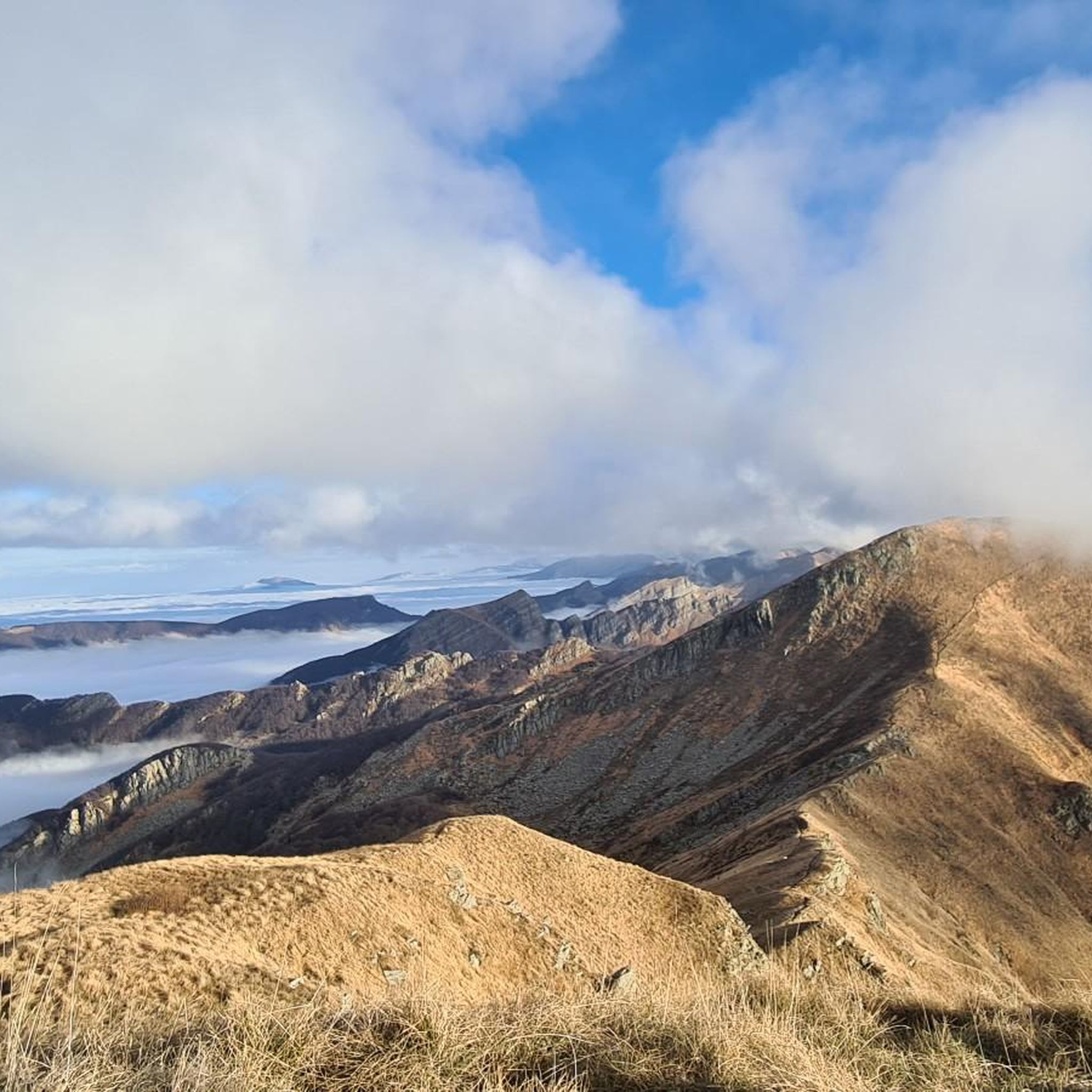
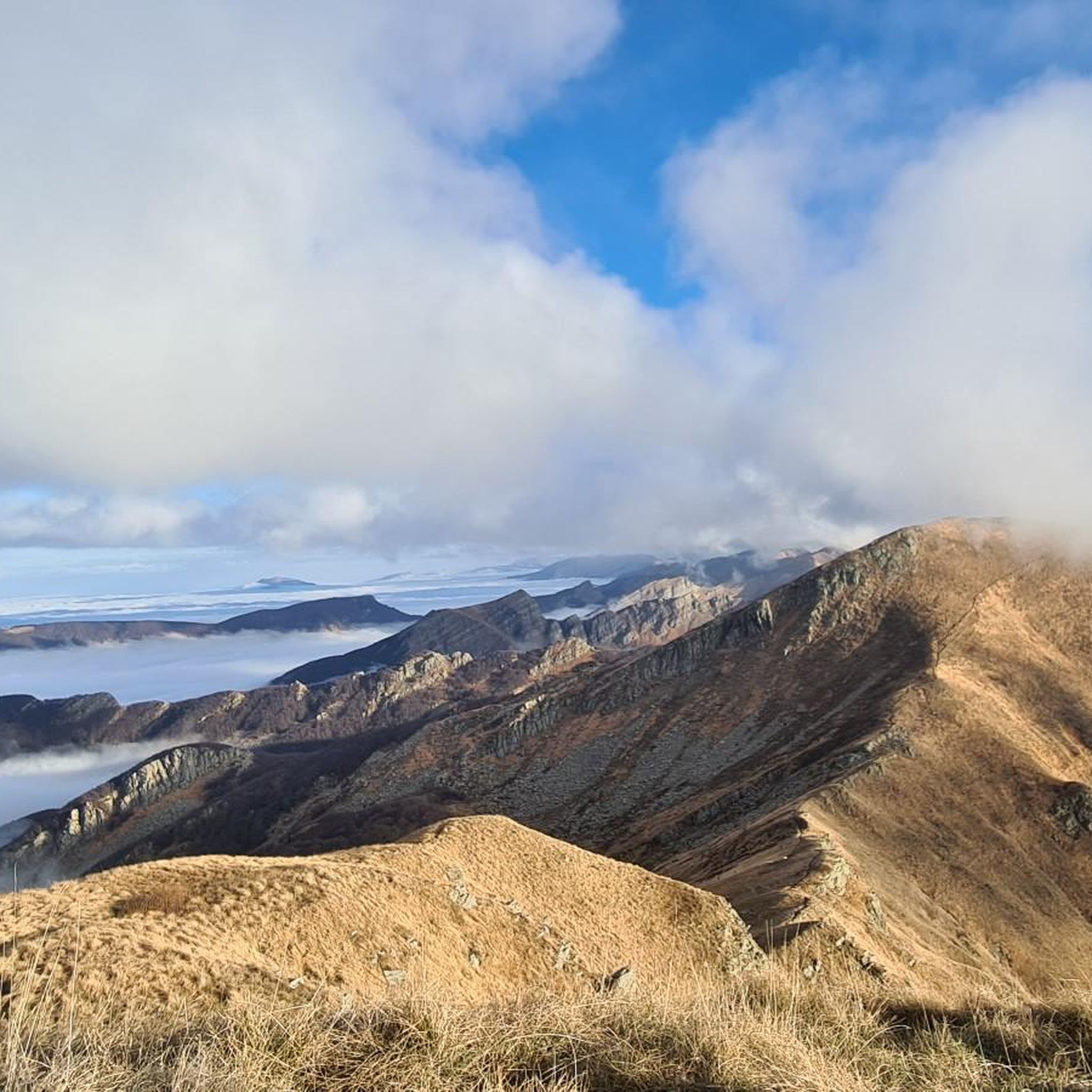
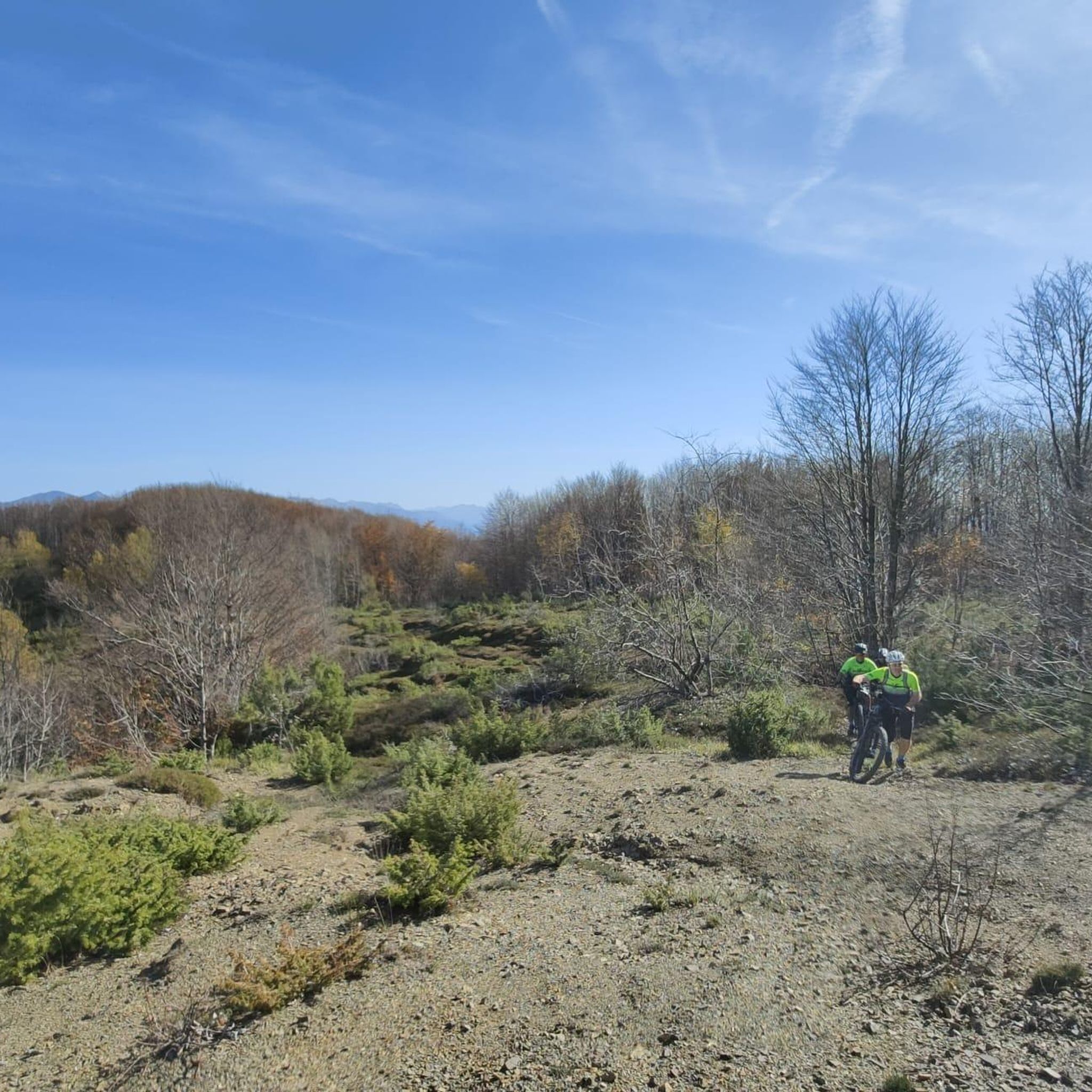

Tips from the Community

The Lago Santo Parmense is the largest glacial lake in Emilia-Romagna and the largest natural body of water in the entire northern Apennines. Located at an altitude of 1,507 meters in the municipality of Corniglio, it covers an area of over 81,000 square meters and reaches a maximum depth of 22.5 meters. It is located within the Tuscan-Emilian Apennine National Park (also known as the Park of the Hundred Lakes) and is dominated by the walls of Monte Marmagna.
0
0
Lago Santo Parmense is the largest glacial lake in Emilia-Romagna and the largest natural body of water in the entire northern Apennines. Located at an altitude of 1,507 meters in the municipality of Corniglio, it covers an area of over 81,000 square meters and reaches a maximum depth of 22.5 meters. It is located within the Tuscan-Emilian Apennine National Park (also known as Parco dei Cento Laghi) and is dominated by the walls of Monte Marmagna.
0
0


Nice panoramic point at the foot of M. Marmagna
0
0

A refuge on Lago Santo Parmense. Located in a magnificent setting, it's a delightful place to stop. It's managed; all the information is on the website. It can be reached on foot or by chairlift from Lagdei.
1
0
There's not much to say here. Lago Santo is on the list of top places in our Apennines. A quick web search and a few photos are all it takes to understand what it's all about.
2
0

A stunning mountain from which you can enjoy a view of the entire Parma Apennines and, on a clear day, you can also see the Gulf of La Spezia.
0
0
Frequently Asked Questions
How many mountaineering routes are available around Filattiera?
There are over 5 mountaineering routes around Filattiera, catering to various skill levels from easy to difficult. The region's diverse terrain, part of the Apennine mountains, offers a range of experiences.
Are there any easy mountaineering routes suitable for beginners or families?
Yes, Filattiera offers easy routes. While the Lago Palo loop from Prato Spilla is a popular easy option, another great choice for beginners is exploring the areas around the alpine lakes, which often feature less strenuous paths.
What are some challenging mountaineering routes for experienced climbers?
For those seeking a challenge, the Monte Malpasso loop from Prato Spilla is a difficult route covering nearly 6 km with significant elevation gain. Another demanding option is the Monte Aquila – Bocchetta del Tavola loop from I Cancelli Demaniali, which is over 14 km long and features challenging mountain passes.
Are there any circular mountaineering routes in the Filattiera area?
Many routes in Filattiera are designed as loops, allowing you to start and end at the same point. For example, the Monte Sillara Summit (1,861 m) loop from Prato Spilla is a moderate 12 km circular route offering stunning views.
What is the best season for mountaineering in Filattiera?
The best season for mountaineering in Filattiera is typically from late spring to early autumn (May to October), when the weather is more stable and trails are clear of snow. Always check local weather forecasts before heading out, as conditions can change rapidly in the mountains.
What kind of natural attractions or landmarks can I expect to see along the routes?
The routes often lead through diverse landscapes including alpine lakes and prominent peaks. You might encounter natural highlights such as Lake Martino or the scenic Lake Santo Parmense. The region is also known for its natural reserves.
Are there any historical sites or cultural attractions near the mountaineering trails?
Beyond the trails, the Filattiera region is rich in history. You can explore nearby castles and medieval villages. Notable sites include the Piagnaro Castle and Museum of Lunigiana Stele Statues, or the charming Lusuolo Castle and Medieval Village.
What do other mountaineers say about the routes in Filattiera?
The mountaineering routes in Filattiera are highly rated by the komoot community, with an average score of 4.8 stars. Reviewers often praise the varied terrain, the stunning alpine scenery, and the well-maintained paths that cater to different ability levels.
Are there specific trailheads or starting points for these mountaineering routes?
Many routes, such as those around Lago Palo, Monte Malpasso, and Monte Sillara, commonly start from areas like Prato Spilla. Other routes, like the Lake Santo Parmense loop, begin near the Riserva Naturale Orientata Guadine-Pradaccio, or I Cancelli Demaniali for the Monte Aquila loop. Specific starting points are detailed on each route page.
Do I need any special permits for mountaineering in the Filattiera area?
Generally, no special permits are required for day mountaineering on established trails in the Filattiera area. However, if you plan to enter specific protected areas or engage in activities like overnight camping, it's always advisable to check with local park authorities for any specific regulations or permit requirements.
What should I wear or bring for mountaineering in Filattiera?
Given the rugged terrain and varying elevations, it's essential to wear appropriate mountaineering boots with good ankle support, layerable clothing suitable for changing mountain weather, and carry essentials like water, snacks, a map or GPS device, and sun protection. Even in summer, conditions can be unpredictable at higher altitudes.
Are there any facilities or cafes near the mountaineering routes?
While the routes themselves are often in natural, undeveloped areas, some popular starting points or nearby villages may offer facilities. For example, the Giovanni Mariotti Mountain Hut at Lago Santo provides a place for rest and refreshments near some routes. It's always best to carry sufficient supplies, especially on longer or more remote trails.
Most popular routes around Filattiera
Most popular attractions around Filattiera

Get inspired with the komoot mobile app


Explore more
Browse the best Mountain Hikes & Routes in other regions.
