The best mountain hikes around Chiuppano
5.0
(1)
17
hikers
3
hikes
Mountaineering routes around Chiuppano traverse a landscape characterized by significant elevation changes and varied terrain. The region features prominent peaks like Cima Summano and Monte Cengio, offering challenging ascents and panoramic views. Trails often lead through mountainous areas, providing opportunities for both moderate and difficult mountaineering experiences. This area is suitable for those seeking routes with notable elevation gain and diverse natural features.
Best mountaineering routes around Chiuppano
- The most popular mountaineering route is Cima Summano loop from Piovene Rocchette…
Last updated: July 4, 2026
13
hikers
Hard mountaineering route. Good fitness required. Sure-footedness, sturdy shoes and alpine experience required.
5.0
(1)
2
hikers
11.4km
03:27
310m
310m
Moderate mountaineering route. Good fitness required. Mostly accessible paths. Sure-footedness required.

Sign up for free
2
hikers
9.85km
03:05
250m
250m
Hard mountaineering route. Good fitness required. Sure-footedness, sturdy shoes and alpine experience required.
Our route recommendations are based on thousands of hikes, rides, and runs completed by other people on komoot.
Start today with a free account
Your next adventure awaits.
Login or Signup
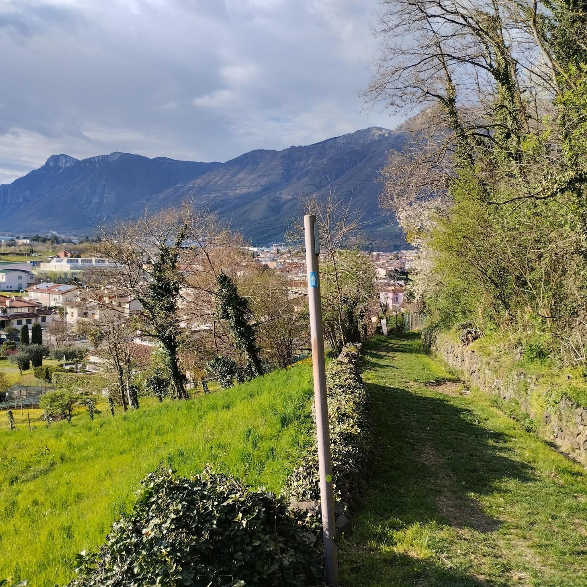
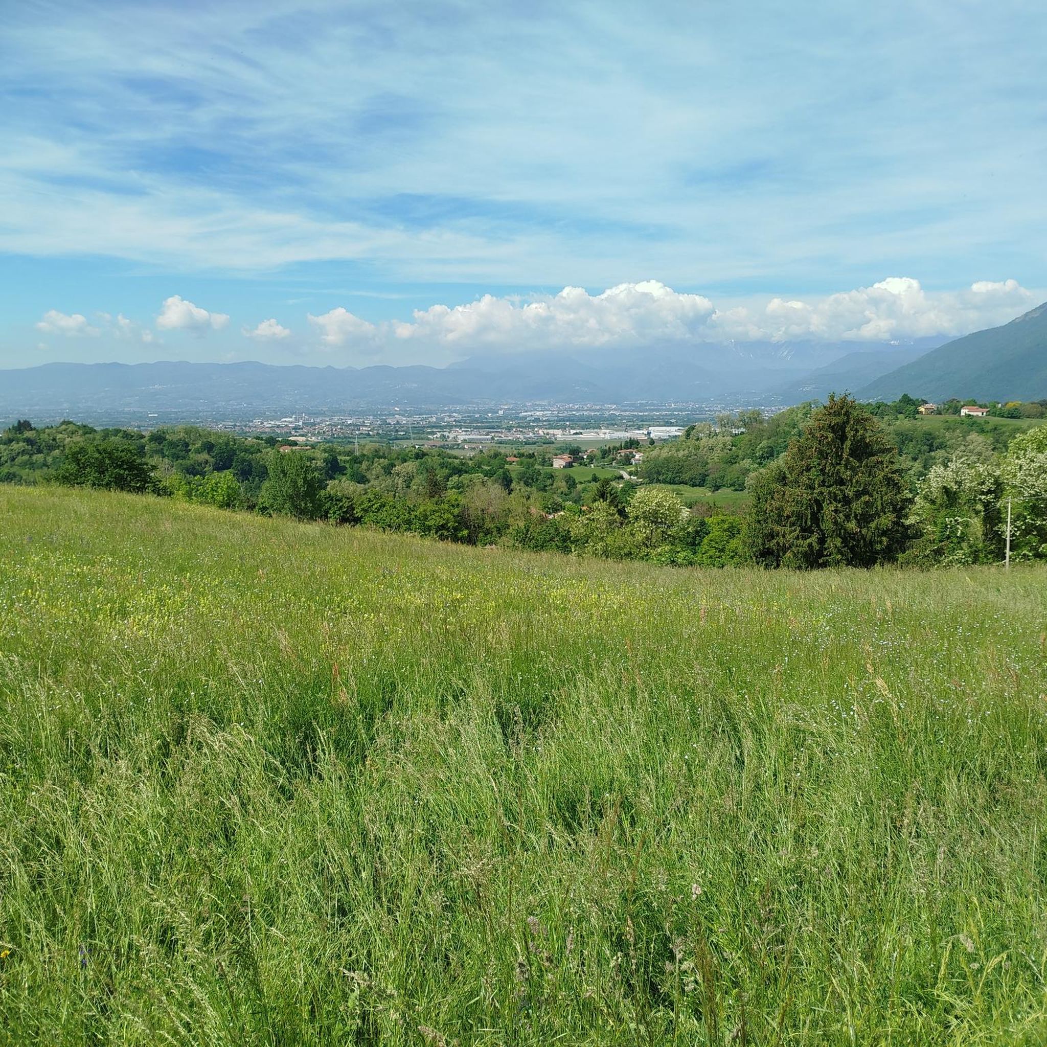
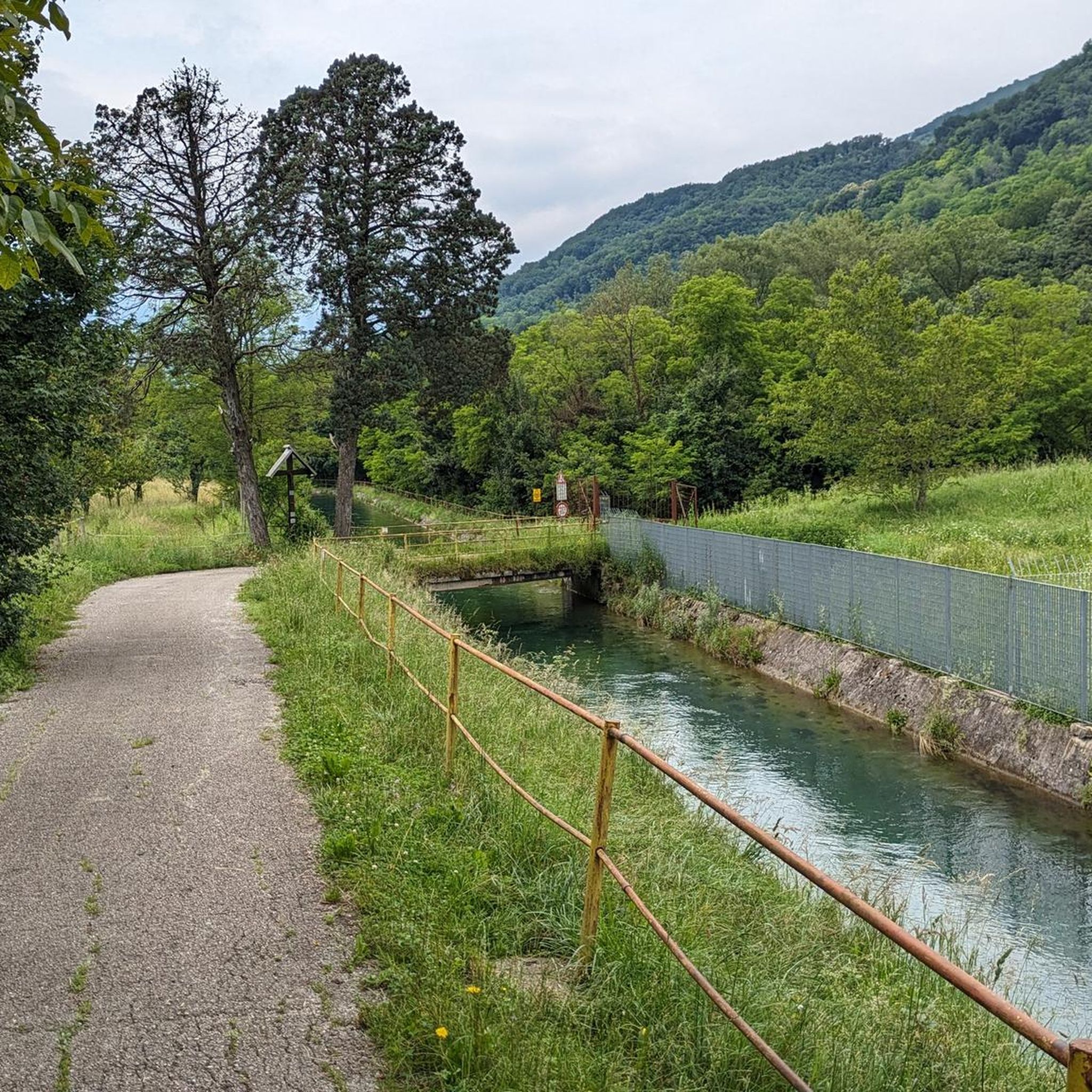
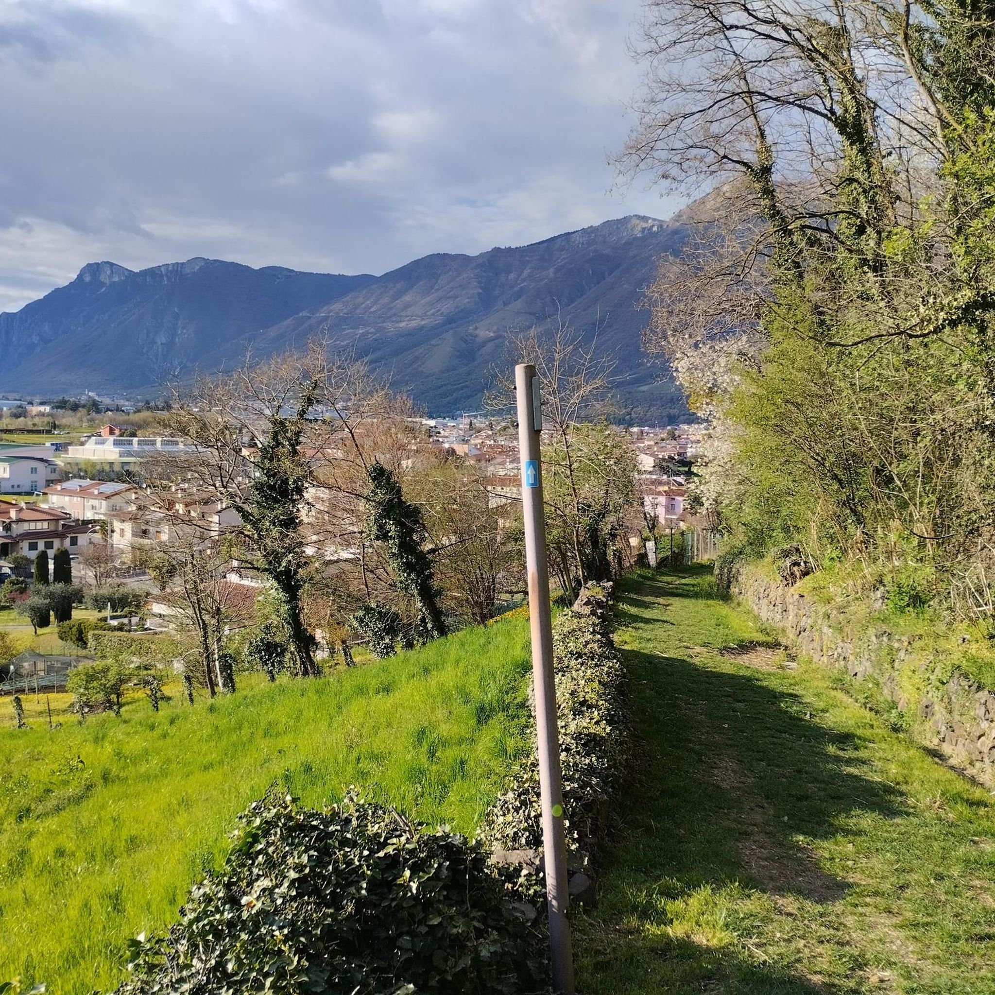

Tips from the Community

iconic refreshment point
0
0

The ancient history of this beautiful panoramic peak.
0
0


Panoramic view, breathtaking
2
1
Very nice view, must see
1
0


The climb to Monte Summano is always beautiful and interesting and being exposed to the south it can be done practically all year round. From the top there are trails that vary in difficulty and beauty but are always fun and exciting.
0
0

Where do we start from? I don't know this area but I would like to go there.
0
1
Frequently Asked Questions
How many mountaineering routes are available around Chiuppano?
There are 5 distinct mountaineering routes detailed in this guide for the Chiuppano area, offering a range of experiences for different skill levels.
Are there any beginner-friendly mountaineering routes in Chiuppano?
Yes, for those seeking a more moderate challenge, consider the Monte Cengio – Osservatorio loop from Monte Cengio, which is about 3.8 km long, or the Bocchetta Paù Viewpoint – Carriola Mountain Hut loop from Fondi, which covers 11.4 km with a moderate elevation gain.
What are some challenging mountaineering routes in the Chiuppano area?
For experienced mountaineers, the region offers several difficult routes. The Cima Summano loop from Santorso is a demanding 10.7 km route with over 1000 meters of elevation gain. Another challenging option is the Cima Summano loop from Piovene Rocchette, which is 10.1 km long with over 700 meters of ascent.
Are there any circular mountaineering routes around Chiuppano?
Yes, all the routes featured in this guide are circular. This includes the challenging Cima Summano loop from Piovene Rocchette and the moderate Bocchetta Paù Viewpoint – Carriola Mountain Hut loop from Fondi, allowing you to return to your starting point.
What kind of views can I expect on the mountaineering routes in Chiuppano?
The routes often lead to panoramic viewpoints. For example, the Monte Cengio – Osservatorio loop from Monte Cengio features an observatory viewpoint. Many trails offer extensive views of the surrounding mountainous terrain, especially from peaks like Cima Summano and Monte Cengio.
What historical sites or landmarks can I see along the mountaineering routes?
The region is rich in history. You might encounter sites like the Gun Emplacement Tunnel of Monte Cengio, or the Monte Lèmerle — WWI historical site. The Castle Trail loop from Carrè also suggests historical interest.
What do other mountaineers enjoy most about the routes in Chiuppano?
The mountaineering routes in Chiuppano are highly rated by the komoot community, with an average score of 5.0 stars. Users frequently praise the diverse terrain, challenging ascents, and the panoramic views offered from prominent peaks like Cima Summano.
Are there any specific peaks or viewpoints worth visiting in the Chiuppano area?
Absolutely. Key highlights include the Summano Summit Cross, Mount Cengio, and Monte Paù (or Cima del Gallo). The Bocchetta Paù Viewpoint also offers stunning vistas.
Is public transport available to reach the starting points of these mountaineering routes?
This guide does not provide specific public transport information for each trailhead. We recommend checking local bus or train schedules for routes connecting to towns like Piovene Rocchette, Santorso, Monte Cengio, Fondi, or Carrè, which are common starting points.
What should I wear for mountaineering in Chiuppano?
Given the significant elevation changes and varied terrain, it's essential to wear appropriate mountaineering boots with good ankle support, layered clothing suitable for changing weather conditions, and to carry waterproof outerwear. Always check the weather forecast before heading out.
Are there any natural attractions or features to look out for?
Beyond the mountain peaks, you might find natural features like the Contrà Pria Pools. The routes themselves traverse diverse natural landscapes, from wooded areas to rocky ascents.
Most popular routes around Chiuppano
Most popular attractions around Chiuppano

Get inspired with the komoot mobile app


Explore more
Browse the best Mountain Hikes & Routes in other regions.
