The best mountain hikes around Ventasso
4.8
(11)
93
hikers
15
hikes
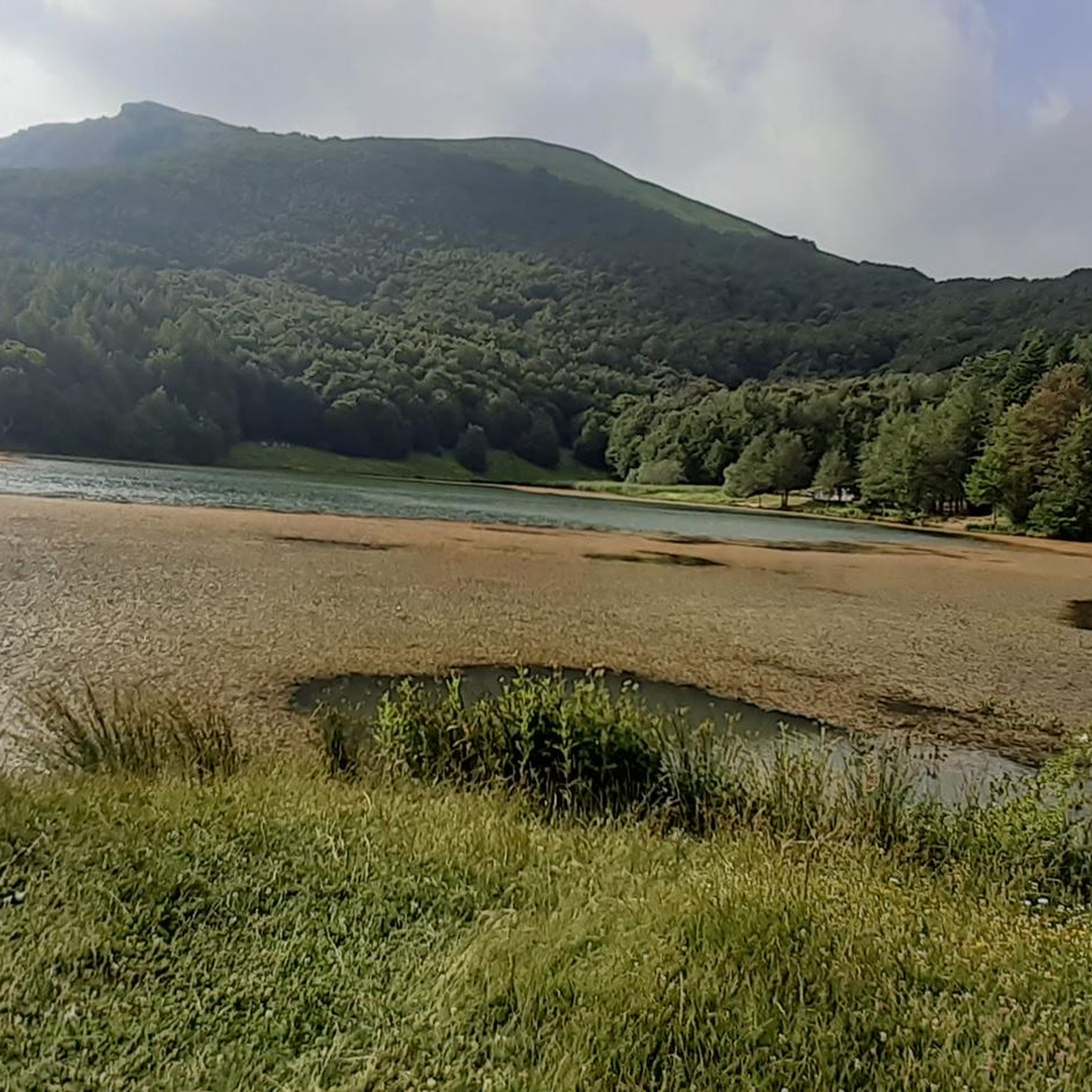
Mountaineering around Ventasso offers diverse and striking natural features within the Tuscan-Emilian Apennines. The region is characterized by high mountain peaks, such as the pyramid-shaped Mount Ventasso (1,727 m), and distinctive rock formations like Pietra di Bismantova. Glacial lakes, including Lake Calamone, and extensive beech woods define the landscape, providing varied terrain for exploration. These features contribute to a rich biodiversity, preserved within the Tuscan-Emilian Apennines National Park.
Best mountaineering routes around Ventasso
- The most popular mountaineering route is Monte…
Last updated: July 4, 2026
5.0
(4)
31
hikers
6.49km
03:30
540m
540m
Hard mountaineering route. Good fitness required. Sure-footedness, sturdy shoes and alpine experience required.
5.0
(1)
13
hikers
11.1km
04:55
960m
960m
Hard mountaineering route. Very good fitness required. Mostly accessible paths. Sure-footedness required.

Sign up for free
6
hikers
12.8km
04:54
740m
750m
Moderate mountaineering route. Good fitness required. Mostly accessible paths. Sure-footedness required.
2
hikers
Hard mountaineering route. Good fitness required. Sure-footedness, sturdy shoes and alpine experience required.
6
hikers
13.9km
06:05
920m
920m
Hard mountaineering route. Very good fitness required. Sure-footedness, sturdy shoes and alpine experience required.
Get access to more routes and recommendations from other explorers.
Sign up for free
Already have an account?
Our route recommendations are based on thousands of hikes, rides, and runs completed by other people on komoot.
Start today with a free account
Your next adventure awaits.
Login or Signup
Popular around Ventasso

Apennine Cycle Route (Part 1) - From Liguria to Umbria

Berceto to Abetone – Alta Via dei Parchi (part 1)
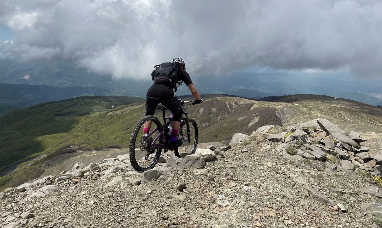
On the Giant's summits — Italy's Mount Cusna by mountain bike
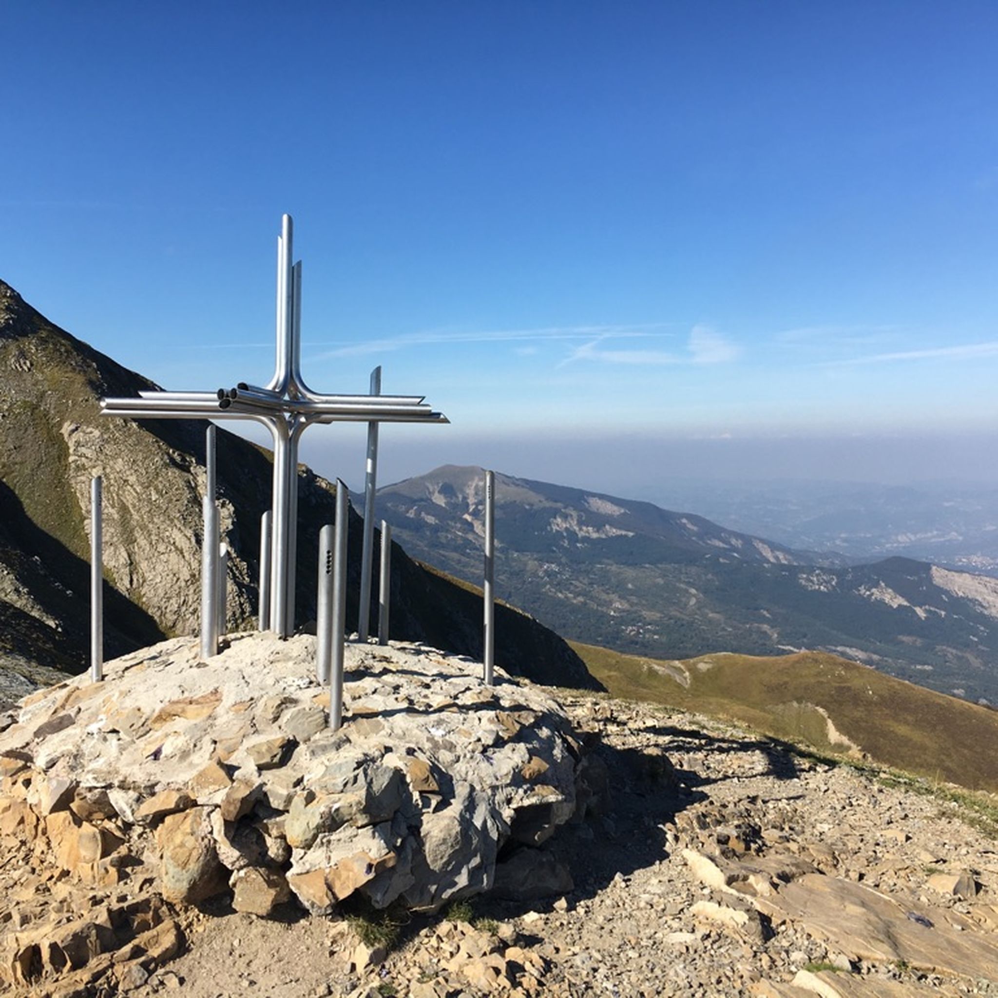
Hiking around Ventasso
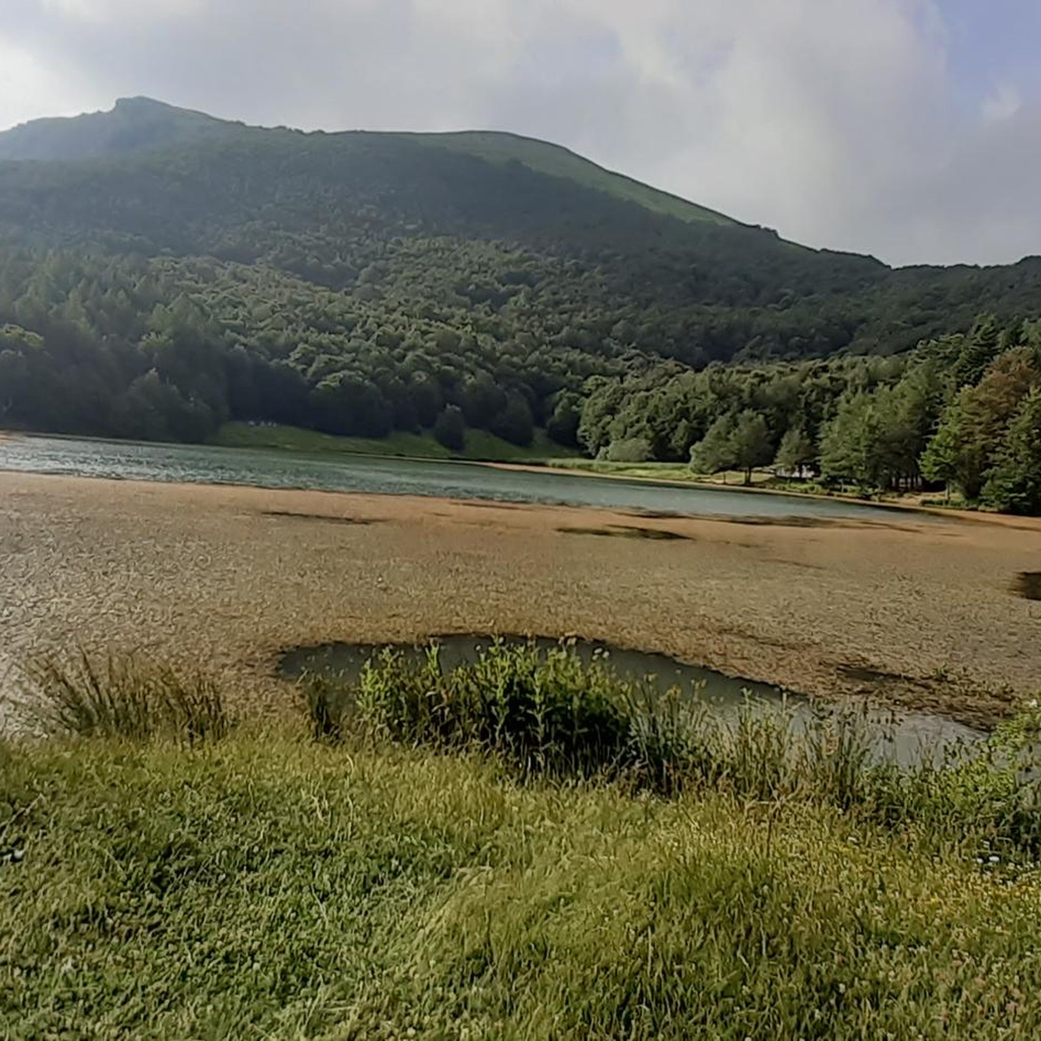
Road Cycling Routes around Ventasso
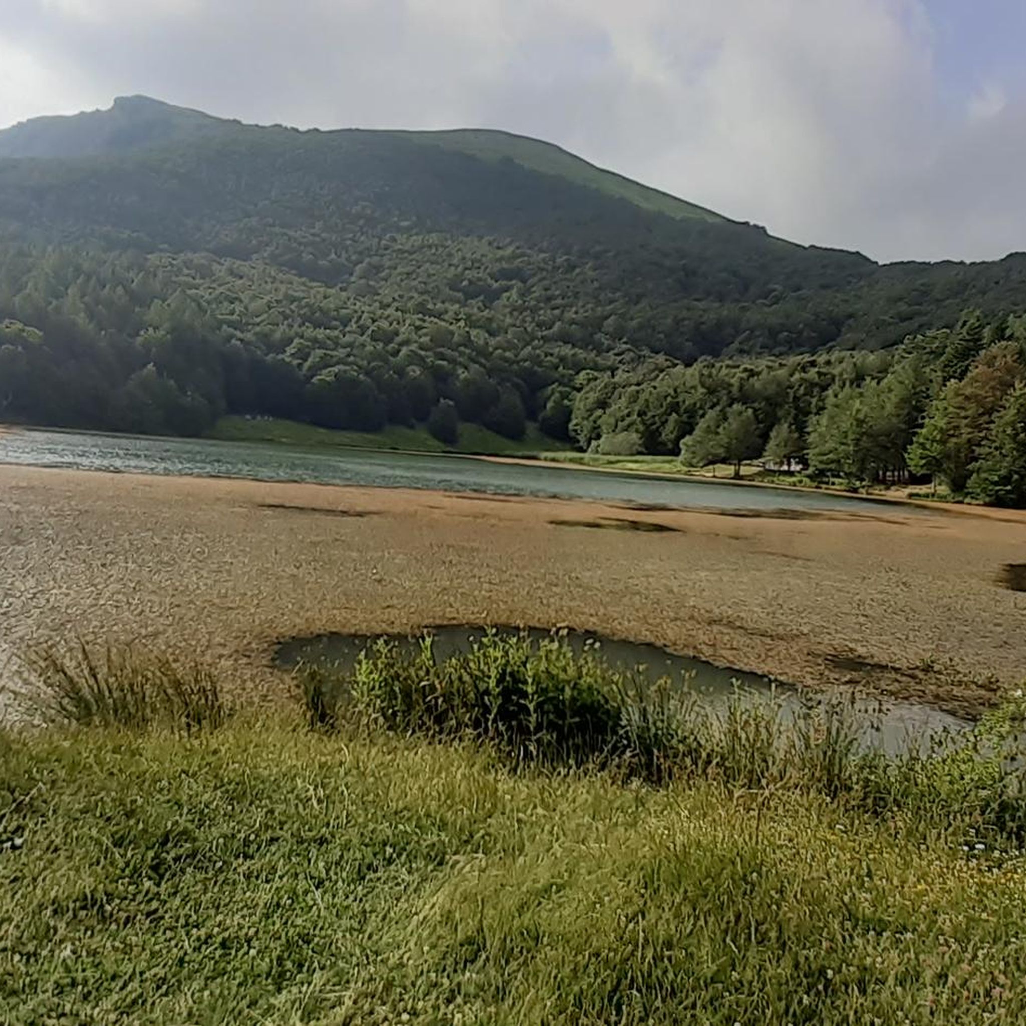
MTB Trails around Ventasso
Cycling around Ventasso
Running Trails around Ventasso

Gravel biking around Ventasso
Other adventures around Ventasso


Tips from the Community

Monte Cusna (also called Alpe di Cusna) is the highest peak of the Reggiano Apennines with its 2,121 meters of altitude. It is the second highest summit in the entire Northern Apennines, surpassed only by the nearby Monte Cimone.
0
0
The Passo di Lama Lite is a very important mountain pass located at an altitude of 1,749 meters in the Alto Appennino Reggiano, on the border between Emilia-Romagna and Tuscany. It is located in the heart of the Tuscan-Emilian Apennine National Park. This pass serves as a fundamental watershed between the valley of the Dolo stream and the valley of the Ozola stream, positioned at the foot of the Monte Prado massif and offering a splendid view of Monte Cusna.
0
0
The Diga del Lagastrello (officially called Diga di Lago Paduli) is an artificial dam located in the Tuscan-Emilian Apennines, at an altitude of about 1,157 meters in the municipality of Comano (Massa-Carrara), very close to the Passo del Lagastrello which separates Tuscany from Emilia-Romagna. Built between 1906 and 1910 for hydroelectric purposes by damming the Enza stream, it creates the Lago Paduli, an artificial basin that collects over 3 million cubic meters of water. From an engineering point of view, it is a notable example of an earth-fill dam with a central impermeable clay core. In December 1909, during the final stages of its construction, it suffered a partial and disastrous collapse that devastated the underlying Val Cedra, fortunately without causing any casualties.
0
0

The Rifugio is closed (June 2026)
0
0

Beautiful route, with a stunning summit panorama
1
0


Easy to reach and convenient for starting your walk.
0
0
From the outside, it's a beautiful refuge. We couldn't see the inside because it was closed. It's easily accessible by parking in Case di Civago.
0
0
Frequently Asked Questions
How many mountaineering routes are available in Ventasso?
Ventasso offers a diverse network of 18 mountaineering routes. These include options for various skill levels, with 2 easy, 5 moderate, and 11 difficult paths, ensuring a suitable challenge for every mountaineer.
What is the general difficulty level of mountaineering routes in Ventasso?
The mountaineering routes in Ventasso primarily cater to experienced individuals, with 11 routes classified as difficult. There are also 5 moderate routes and 2 easier options, providing a range of challenges across the region's varied terrain.
What do other mountaineers say about the routes in Ventasso?
The mountaineering routes in Ventasso are highly regarded by the komoot community, holding an average rating of 4.6 stars from over 10 reviews. Users frequently praise the stunning panoramic views and the challenging yet rewarding ascents found throughout the Tuscan-Emilian Apennines.
Are there any notable natural landmarks to see while mountaineering in Ventasso?
Yes, Ventasso is rich in natural landmarks. You can encounter the imposing Bismantova Rock, a distinctive isolated bastion, or reach the Monte Ventasso Summit for exceptional panoramic views. The area also features glacial lakes like Lago Calamone and extensive beech and conifer forests, offering diverse scenery.
Can I find routes that pass by lakes or through forests?
Absolutely. Ventasso is known for its beautiful glacial lakes, such as Lago Calamone, and extensive beech and conifer forests. Many routes, including the Lago di Monte Acuto loop from Passo del Lagastrello, will take you past these serene natural features, offering shaded paths and picturesque views.
What kind of terrain can I expect on Ventasso's mountaineering routes?
Ventasso's mountaineering routes offer diverse terrain, from high mountain peaks and ridges to deep valleys. You'll encounter challenging rocky sections, including Via Ferrata elements on routes like the Monte Penna Via Ferrata loop from Civago, as well as paths through dense beech and conifer forests and around glacial lakes.
Are there circular mountaineering routes in Ventasso?
Yes, several circular mountaineering routes are available. For instance, the Monte Cusna loop from Febbio offers a challenging circuit with significant elevation gain, while the Alpe di Succiso – Il Torrione loop from Succiso Nuovo provides another excellent circular option through high mountain terrain.
What is the best time of year for mountaineering in Ventasso?
The warmer months are generally ideal for mountaineering in Ventasso, typically from late spring through early autumn. During this period, trails are more accessible, and the weather is more stable. Winter offers opportunities for snowshoeing and alpine skiing, but mountaineering routes may require specialized gear and experience due to snow and ice conditions.
Are there family-friendly mountaineering options in Ventasso?
While many mountaineering routes in Ventasso are challenging, there are easier paths suitable for families, particularly those that explore the extensive beech woods or lead to accessible spots like Lago Calamone. These areas offer less strenuous paths and opportunities for relaxing walks.
Are there dog-friendly mountaineering trails in Ventasso?
Many trails in the Ventasso region are dog-friendly, allowing you to explore the natural beauty with your canine companion. It's always advisable to keep dogs on a leash, especially in areas with wildlife or livestock, and to check specific park regulations within the Tuscan-Emilian Apennines National Park.
Are there places to stay or eat near the mountaineering routes?
Yes, the Ventasso region, including areas like Ventasso Laghi and Cerreto Laghi, offers various accommodation options and places to eat. You can find mountain huts such as Cesare Battisti Hut or Rifugio Adamo, which provide a base for mountaineers. Nearby towns also have cafes and restaurants.
Are there any routes that lead to mountain passes with great views?
Yes, Ventasso features numerous mountain passes that offer stunning views and serve as access points for various routes. For example, Pradarena Pass is a notable point that provides expansive vistas of the Apennine landscape and connects to a network of trails.
Most popular attractions around Ventasso

Get inspired with the komoot mobile app


Explore more
Browse the best Mountain Hikes & Routes in other regions.
