The best mountain hikes around Ziordia
5.0
(1)
26
hikers
4
hikes
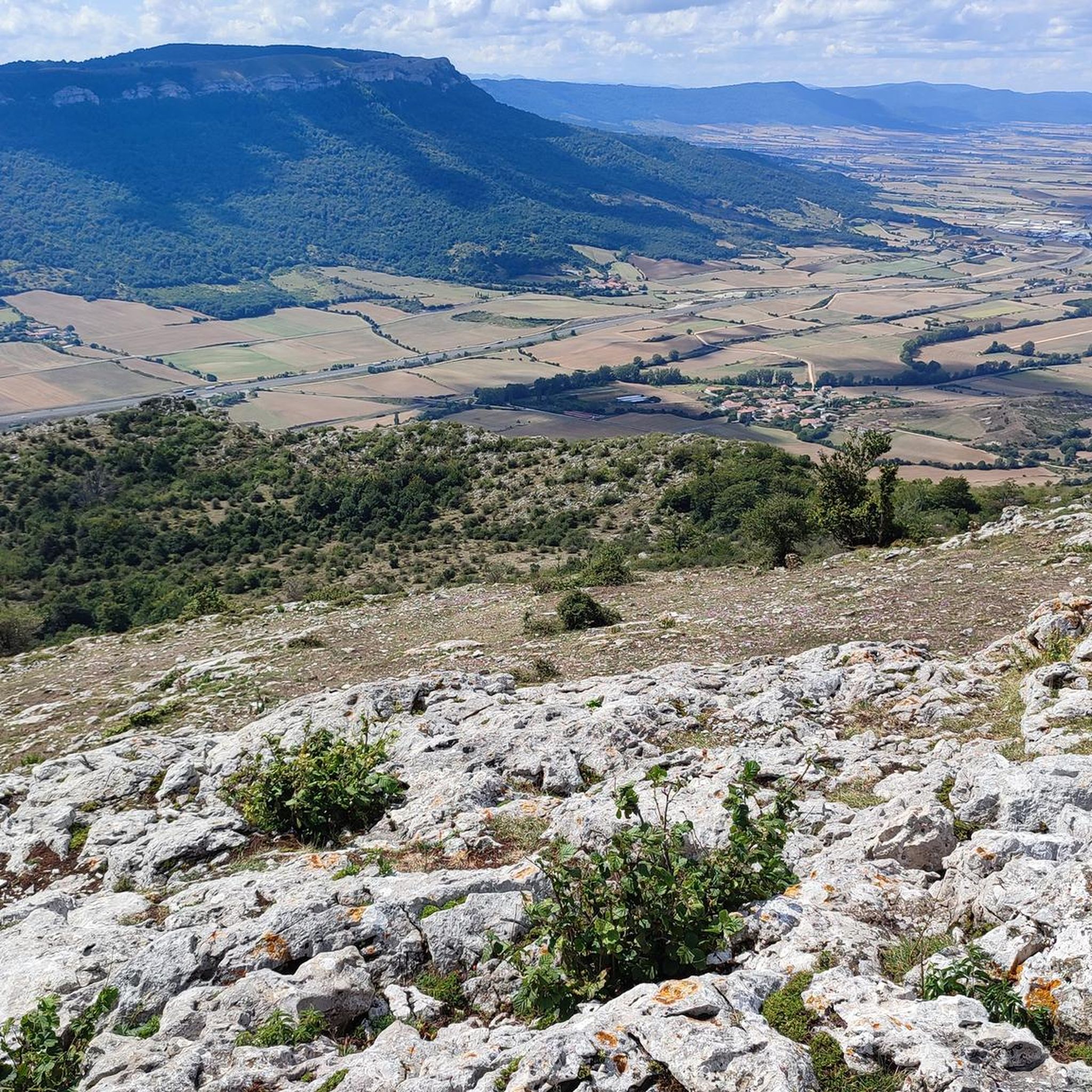
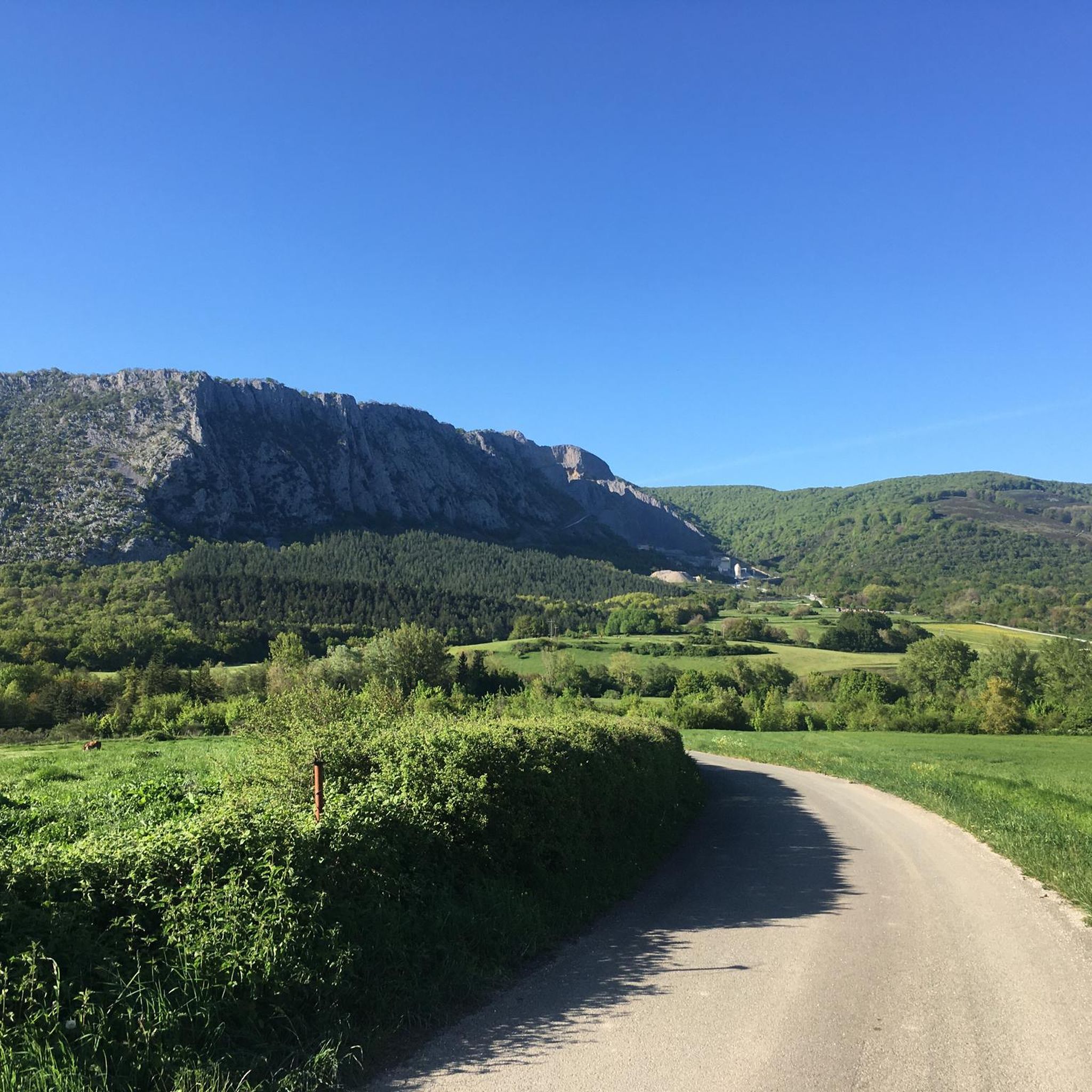
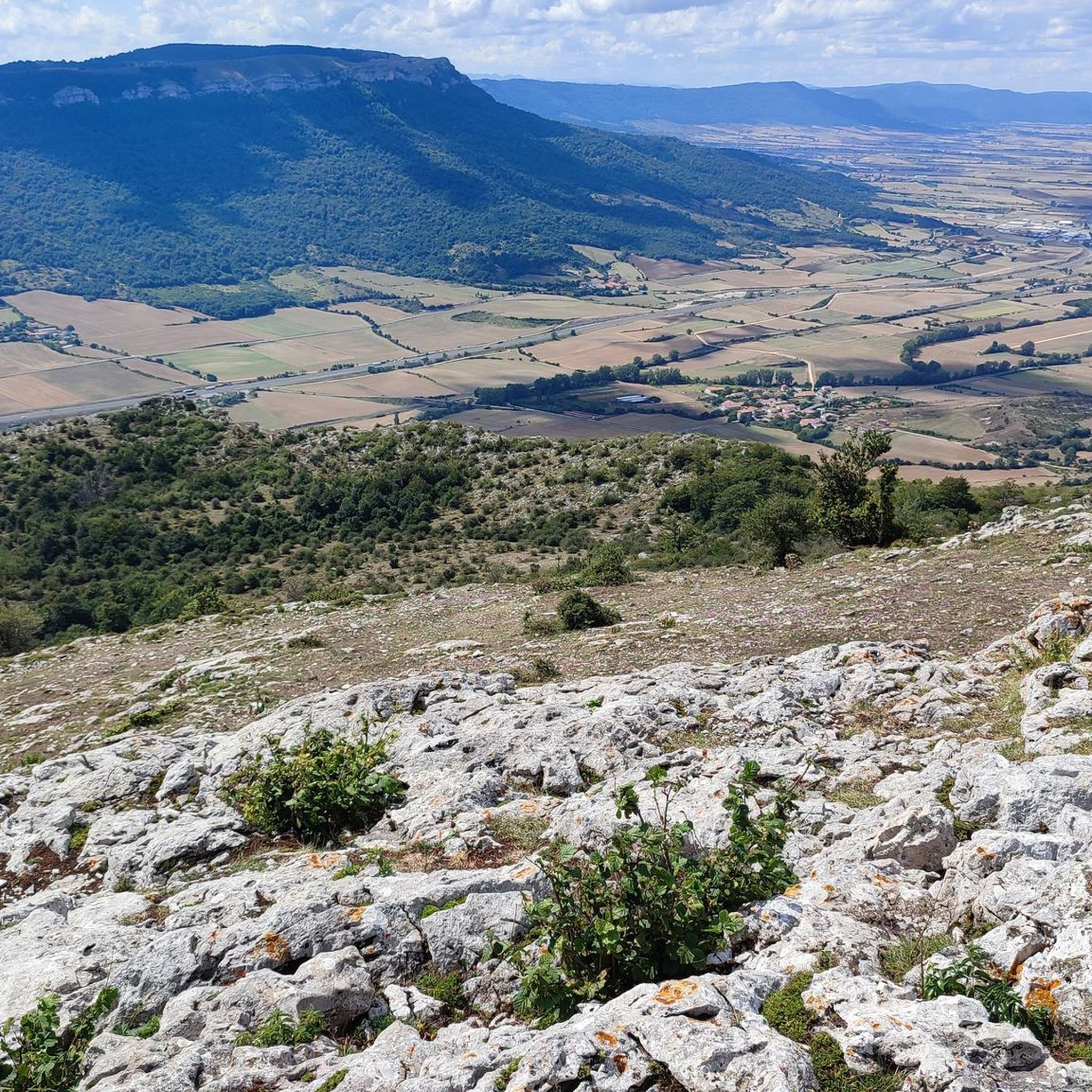
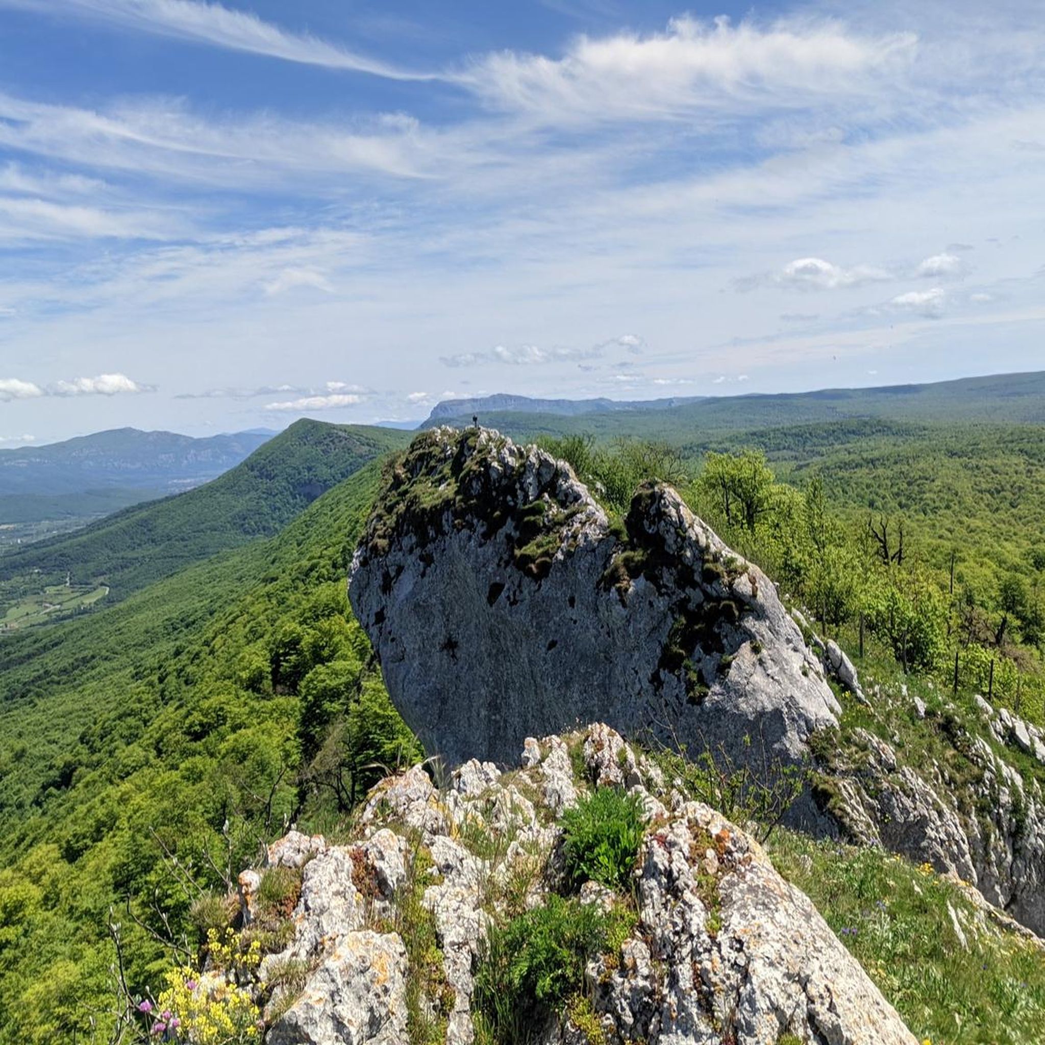
Mountaineering routes around Ziordia traverse a landscape characterized by significant elevation changes and rugged terrain. The region features prominent peaks and mountain ranges, offering challenging ascents and descents. These routes often involve navigating through varied natural environments, including rocky paths and open mountain slopes. The area provides a robust setting for experienced mountaineers seeking demanding trails.
Best mountaineering routes around Ziordia
- The most popular mountaineering route is Aratz – Imeleku loop from Araia, a 6.7 miles (10.8 km) trail that takes 4 hours 57 minutes to complete. This difficult route features substantial elevation gain through mountainous terrain.
- Another top favourite among local mountaineers is Aizkorri – Liñategieta loop from San Adriango tunela, a difficult 5.6 miles (9.1 km) path. This route offers challenging ascents and panoramic views from high mountain passes.
- Local mountaineers also love the Liñategieta – Aizkorri loop from San Adriango tunela, a 6.1 miles (9.8 km) trail leading through mountain ridges and valleys, often completed in about 4 hours 33 minutes.
- Mountaineering around Ziordia is defined by challenging mountain loops, significant elevation changes, and rugged peaks. The network offers options primarily for experienced mountaineers.
- The routes in Ziordia are highly rated by the komoot community with an average score of 5.0 stars from more than 2 reviews. More than 40 mountaineers have used komoot to explore Ziordia's varied terrain.
Last updated: July 5, 2026
9
hikers
Hard mountaineering route. Good fitness required. Sure-footedness, sturdy shoes and alpine experience required.
3
hikers
10.1km
04:14
640m
640m
Hard mountaineering route. Good fitness required. Sure-footedness, sturdy shoes and alpine experience required.

Sign up for free
5.0
(1)
1
hikers
8.75km
02:42
290m
290m
Moderate mountaineering route. Good fitness required. Easily-accessible paths. Suitable for all skill levels.
Our route recommendations are based on thousands of hikes, rides, and runs completed by other people on komoot.
Start today with a free account
Your next adventure awaits.
Login or Signup

Tips from the Community

One of the highest points in the Basque Country, let yourself be enveloped by the fog and it will seem like a magical place.
0
0

A place to remember, a joy to visit.
4
0
Beautiful place, I recommend doing that route.
2
0

nice place and good bike route both on road and gravel
2
0

The Aizkorri Free Refuge is located in one of the most visited ranges of the Basque Mountains, because it is home to Punta Aitxuri, the roof of Guipuzcoa
2
0

One of the stellar adventure sports activities in the Llanada Alavesa is ravine descent Cueva de la Leze, a wonder of nature that combines hiking through a beautiful beech forest, canyoning and caving in the same activity. The Artzanegui stream runs through the beautiful forests of the Altzania mountains and in the Hoya de la Leze it sneaks into the interior of the mountains through a huge cavity excavated in the karstic subsoil of the mountain by the current of water. The underground torrent runs through the interior of the mountains for about five hundred meters, developing an extraordinary sports canyon with waterfalls and waterfalls until it comes out again through a mouth one hundred meters high, near the houses of Ilarduia, in the Alava municipality Aspárrena, on the border between Guipuzkoa and Navarra. In autumn the flow is low, compared to the level it can reach in spring, and the water temperature is cold. In any case, complete canyoning equipment is necessary, two 25-meter ropes, complete and thick neoprene (4/5 mm) there are several deep pools, jumps, slides, a siphon before the start and between ten and twelve rappels, some of three meters, depending on the level of the water and the ability of the canyoners to climb down some sections. The lighting equipment is essential, the darkness is absolute, you have to take good waterproof and submersible headlamps.
0
0

Section from Zalduondo along the Camino de Santiago or medieval from Bayonne to Burgos, very hard due to the climbs if you go with panniers, but spectacular
0
0
Frequently Asked Questions
What is the typical difficulty level of mountaineering routes in Ziordia?
Mountaineering routes in Ziordia are generally considered difficult, featuring significant elevation changes and rugged terrain. They are best suited for experienced mountaineers looking for challenging ascents and descents.
Are there any circular mountaineering routes available in Ziordia?
Yes, Ziordia offers several challenging circular routes. For instance, you could explore the Aratz – Imeleku loop from Araia, which covers 10.8 km, or the Aizkorri – Liñategieta loop from San Adriango tunela, a 9.1 km path with challenging ascents.
What are the average lengths and durations for mountaineering trails in Ziordia?
The mountaineering trails around Ziordia typically range from about 9 km to 13.5 km in length. You can expect to spend between 4 to 6 hours completing these routes, depending on the specific trail and your pace. For example, the Aizkorri – Aitxuri loop from San Adriango tunela is one of the longer options at 13.4 km.
What kind of terrain can I expect on mountaineering routes in Ziordia?
The terrain in Ziordia is characterized by significant elevation changes, rocky paths, and open mountain slopes. You'll navigate through rugged landscapes with prominent peaks and mountain ridges, offering a robust setting for demanding trails.
Are there any notable mountain peaks to discover along the routes in Ziordia?
Absolutely. The region is home to several prominent peaks. You can find routes that lead to or offer views of summits like Aizkorri Summit (1,523 m), Aratz Summit (1,445 m), and Aketegi Summit. These offer challenging climbs and rewarding panoramic views.
Can I find any waterfalls or natural springs near the mountaineering trails in Ziordia?
Yes, the area around Ziordia features several beautiful water features. You might encounter the Tobería Waterfalls or the Andoin Waterfall. There are also sources of rivers like the Source of the Urederra River, which can be points of interest during your mountaineering adventures.
What do other mountaineers say about the routes in Ziordia?
The mountaineering routes in Ziordia are highly regarded by the komoot community, holding an average rating of 5.0 stars. Users frequently praise the challenging nature of the trails, the significant elevation gains, and the stunning mountain landscapes that define the region.
How many mountaineering routes are there to explore in Ziordia?
There are currently 5 distinct mountaineering routes detailed for the Ziordia region. All of these are classified as difficult, providing ample challenge for experienced hikers.
Are there any routes that offer views of multiple peaks?
Many routes in Ziordia traverse mountain ridges and offer expansive views of the surrounding peaks. For instance, the Liñategieta – Aizkorri loop from San Adriango tunela leads through mountain ridges and valleys, providing excellent opportunities to see multiple summits.
What kind of experience is required for mountaineering in Ziordia?
Given the rugged terrain, significant elevation changes, and challenging nature of the trails, mountaineering in Ziordia is primarily suited for experienced individuals. A good level of fitness and familiarity with mountain environments is recommended.
Which route offers a good combination of distance and elevation gain?
The Olanoko Aitzandia – Arbarain/Illarragorri loop from Asparrena is a great option, covering 10.2 km with approximately 640 meters of elevation gain. It provides a substantial challenge and takes around 4 hours and 15 minutes to complete.
Most popular routes around Ziordia
Most popular attractions around Ziordia

Get inspired with the komoot mobile app


Explore more
Browse the best Mountain Hikes & Routes in other regions.
