The best running trails around Landrecies
4.7
(25)
1,804
runners
24
runs
Jogging routes around Landrecies benefit from the town's commitment to developing green spaces and its location near natural features. The region is characterized by urban renewal projects that incorporate landscaping and tree planting, creating pleasant, verdant routes. Proximity to forests and potential river or canal paths offers varied terrain for running. These efforts enhance Landrecies' appeal for outdoor activities, providing a connection to nature within and around the town.
Best jogging routes around Landrecies
- The most popular jogging route is…
Last updated: July 5, 2026
5.0
(1)
27
runners
17.3km
01:47
50m
50m
Hard run. Very good fitness required. Mostly paved surfaces. Suitable for all skill levels.
15
runners
7.51km
00:47
30m
30m
Moderate run. Good fitness required. Mostly paved surfaces. Suitable for all skill levels.

Sign up for free
8
runners
9.50km
00:59
40m
40m
Moderate run. Good fitness required. Mostly paved surfaces. Suitable for all skill levels.
8
runners
6.88km
00:43
10m
10m
Moderate run. Good fitness required. Mostly paved surfaces. Suitable for all skill levels.
3.3
(3)
7
runners
6.18km
00:39
40m
40m
Moderate run. Good fitness required. Mostly paved surfaces. Suitable for all skill levels.
Get access to more routes and recommendations from other explorers.
Sign up for free
Already have an account?
Our route recommendations are based on thousands of hikes, rides, and runs completed by other people on komoot.
Start today with a free account
Your next adventure awaits.
Login or Signup
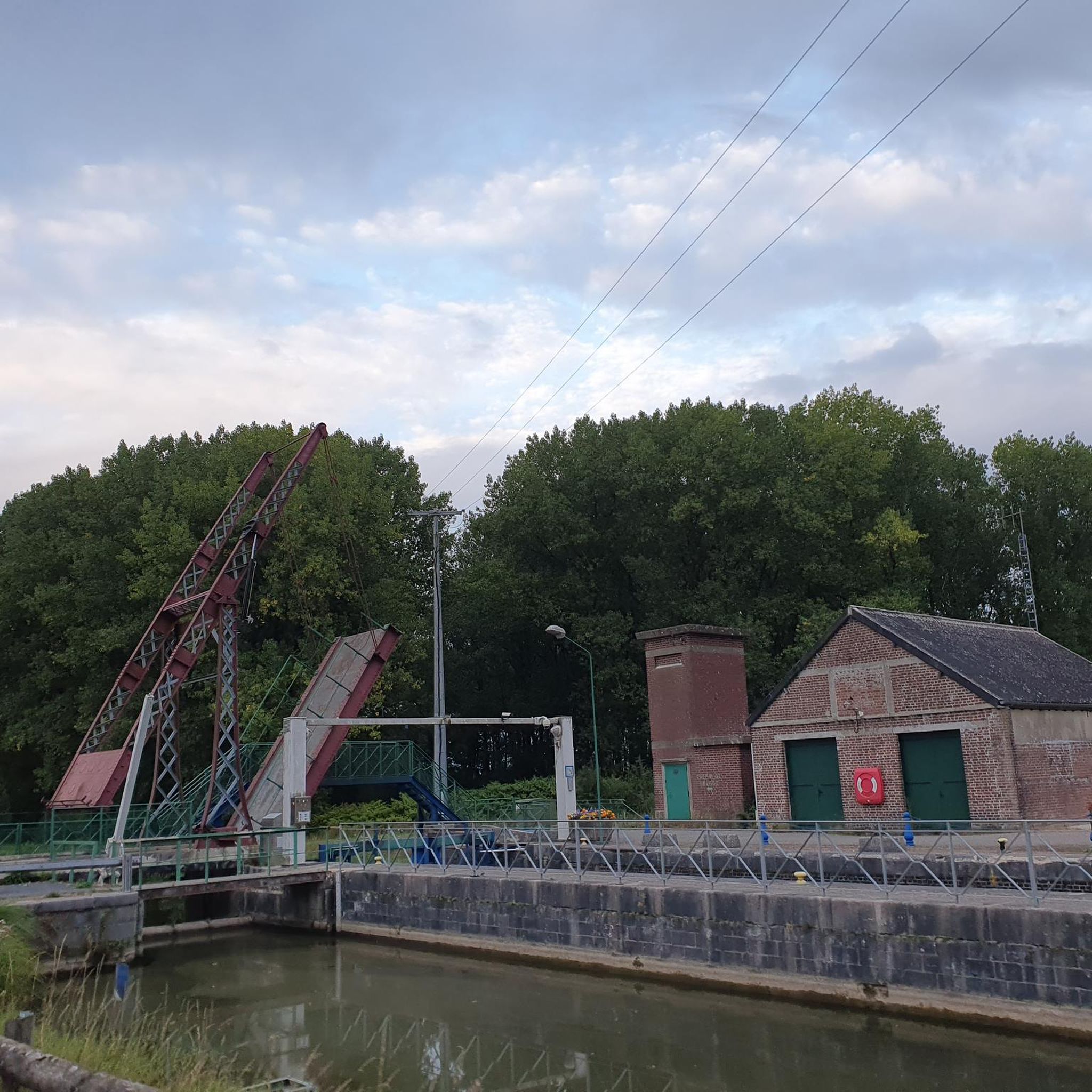
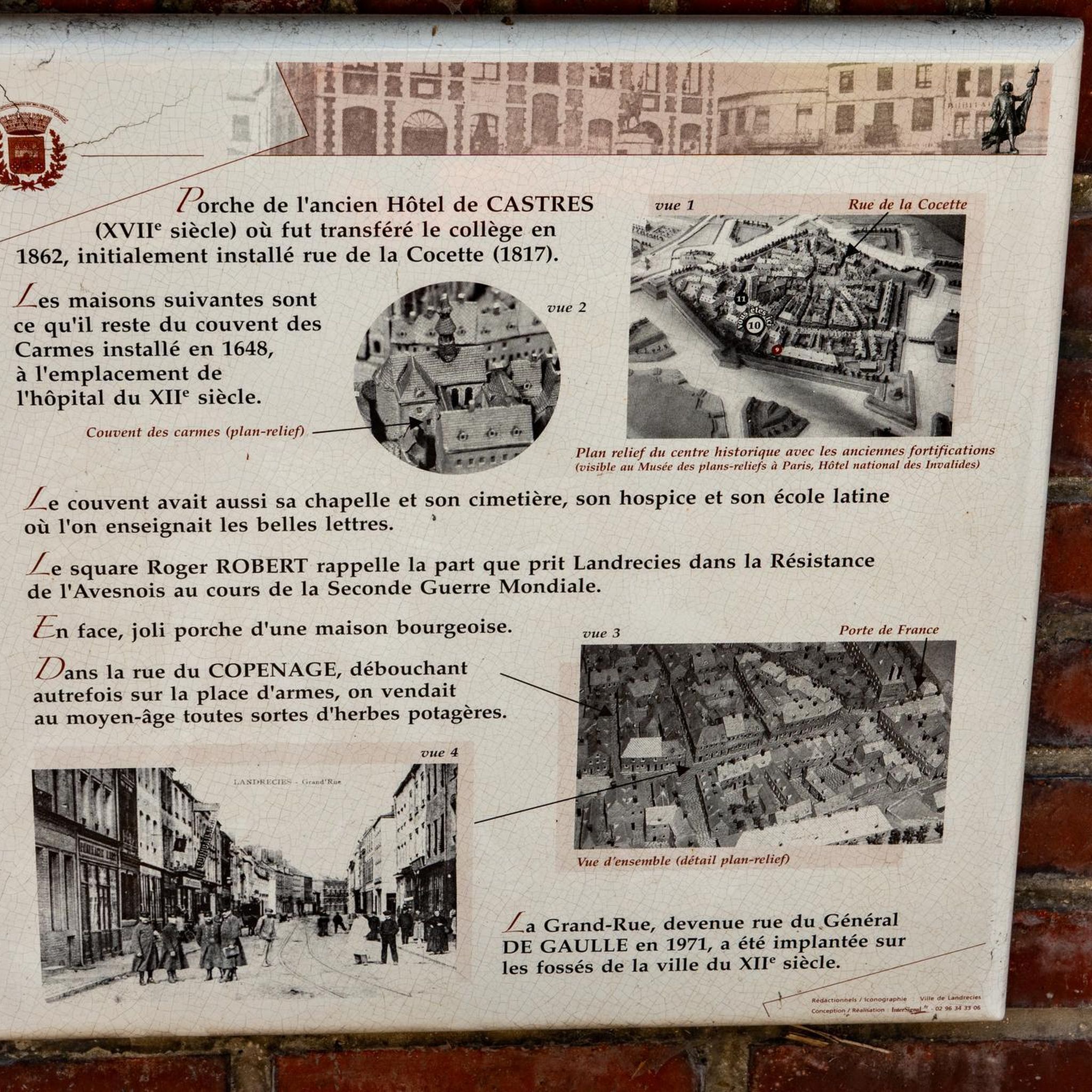
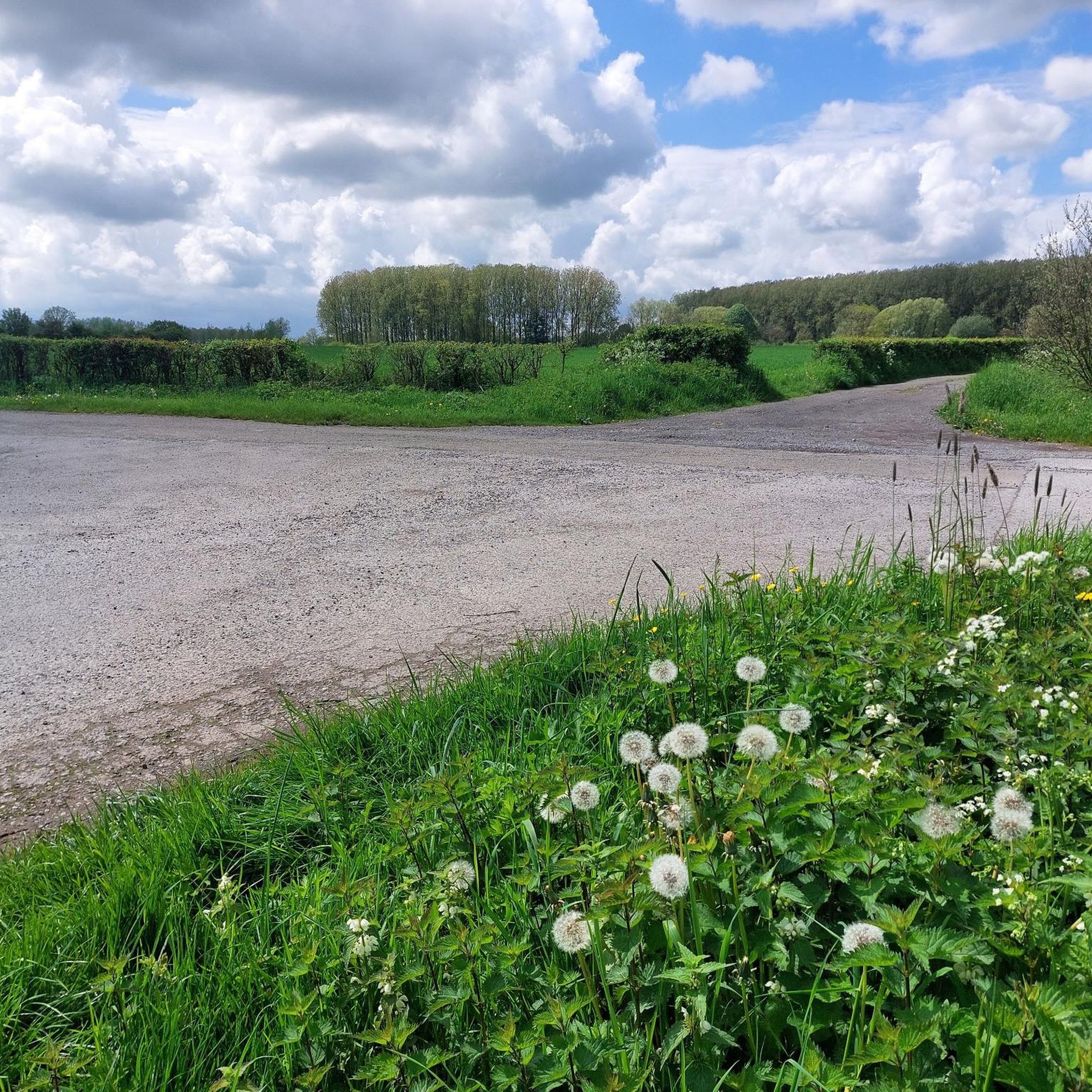
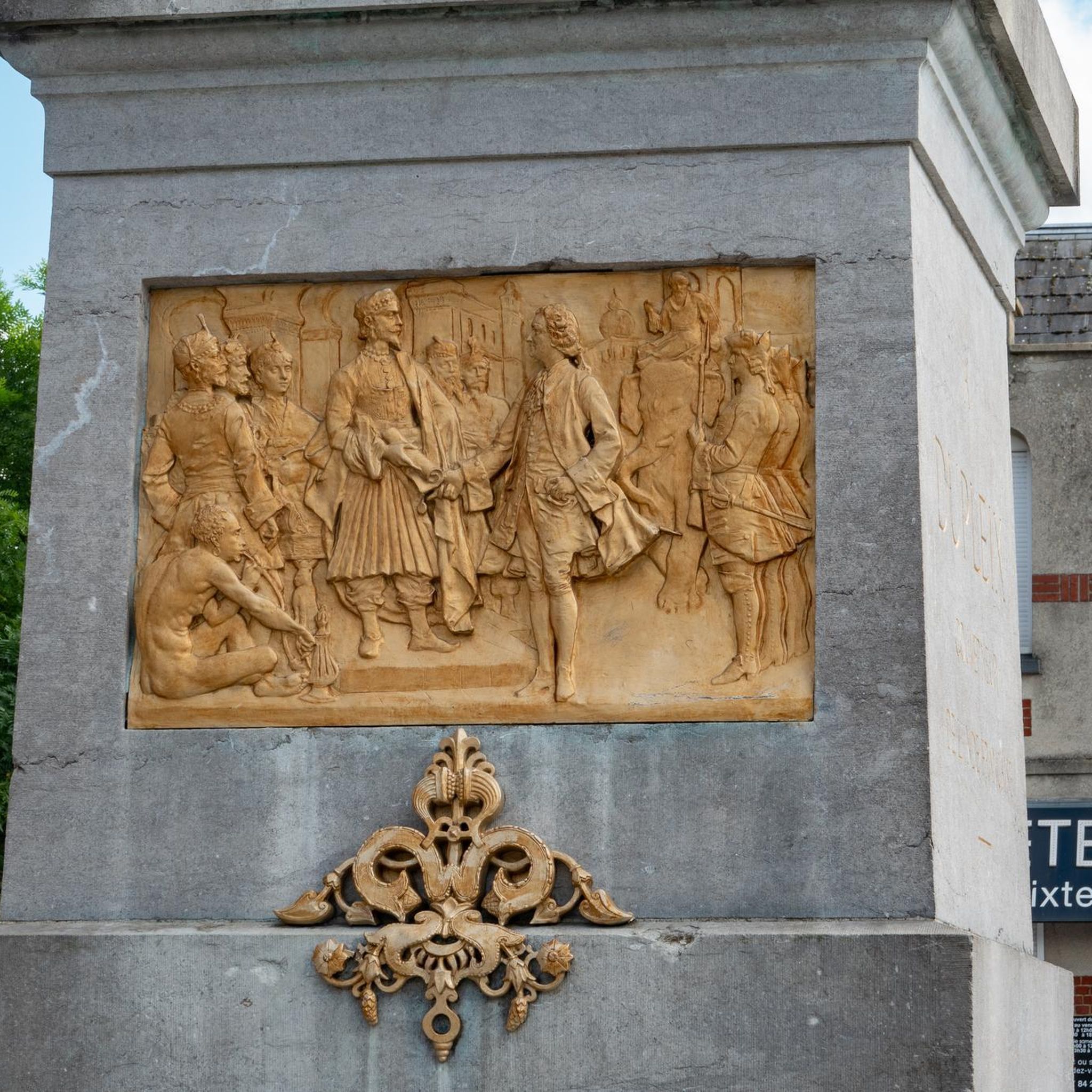
Tips from the Community

Very nice place for beautiful walks.
0
0

L'Auberge du Moulin des Près is an estaminet that is popular with interesting prices.
5
1
The abbey mill spanning the little Helpe is a beautifully renovated 17th-century building. On the door lintel we read the motto of Abbé Frédéric d'Yves "Adh (a) erere Deo bonum", which means "It is good to cling to God". A title from the 11th century mentions that it is an ordinary mill of the abbey, which was rebuilt under the abbey of Frédéric d'Yves and enlarged in 1634 under the reign of Dom Simon Bosquier, then adapted in 1770 at the time of Maurice d'Offergnies. Became national property during the French Revolution, was sold several times and finally awarded to Pierre-François Boucher on January 23, 1792.
6
0
The Helpe Mineure is a French river that flows through the Nord and Aisne departments, in the Hauts-de-France region. It is a left bank tributary of the Sambre, and therefore a sub-tributary of the Meuse. The Helpe Mineure is 50.4 km long and rises in Ohain in the south of the forest of Trélon, in the communal forest of Ohain at an altitude of 273 m. It flows through Fourmies, Rocquigny in the Aisne, then Étrœungt, Boulogne-sur-Helpe, meets the Sambre on its right bank at Locquignol, at an altitude of 132 m, located west of Maroilles. The average slope is 2.1‰.
6
0

Former Moulin de Maroilles to discover, the place is ideal for taking a break.
3
0
Frequently Asked Questions
How many running trails are available around Landrecies?
There are over 20 running routes in and around Landrecies, offering a variety of distances and difficulty levels for runners to explore.
What do other runners enjoy most about the trails in Landrecies?
The running routes in Landrecies are highly rated by the komoot community, with an average score of 4.8 stars from nearly 20 reviews. Runners often praise the varied terrain, green spaces, and the connection to nature offered by these trails.
Are there any easy or beginner-friendly jogging routes in Landrecies?
Yes, while many routes are moderate to difficult, there is at least one easy jogging route available. For example, the Running loop from Landrecies is a moderate 5.3-mile (8.5 km) path that offers a pleasant experience for those looking for a less strenuous run.
What kind of scenery can I expect on the running routes around Landrecies?
The routes benefit from Landrecies' commitment to developing green spaces and its proximity to natural features. You can expect to run through landscaped areas, urban greening projects, and forested sections. Some routes, like the Running loop from Fontaine-au-Bois, specifically lead through natural settings and wooded areas.
Are there any circular running routes in the Landrecies area?
Yes, many of the running routes around Landrecies are designed as loops, providing convenient circular paths. Examples include the popular Maroilles loop from Landrecies and the Running loop from Mison Forestière des Étoquies.
Are there any specific running trails that go through Mormal Forest near Landrecies?
Yes, the Running loop from Mison Forestière des Étoquies is a 5.9-mile (9.5 km) trail that leads through forested areas, offering a great experience for those looking to run in Mormal Forest.
What are some interesting landmarks or attractions I might see near the running trails?
While running, you might encounter various points of interest. Notable attractions in the wider Landrecies area include the Grand Fayt Mill, a Watermill in Parc Naturel Régional de l'Avesnois, and the Weir at L'Auberge du Puits des Prés. These can add a cultural or natural highlight to your run.
What is the typical terrain and elevation like on the running routes?
The terrain around Landrecies is generally varied, with routes featuring green spaces, urban areas, and forested paths. Elevation changes are typically moderate, with some routes like the Maroilles loop from Landrecies having around 43 meters of ascent, making for a good workout without extreme climbs.
Are there options for longer distance running or more challenging routes?
Absolutely. For those seeking longer distances or more challenging runs, routes like the Maroilles loop from Landrecies cover 10.3 miles (16.5 km) and are rated as difficult, providing a comprehensive exploration of the rural landscape.
What is the best time of year to go running in Landrecies?
Landrecies' urban greening efforts and natural surroundings make it pleasant for running throughout much of the year. Spring and autumn offer mild temperatures and beautiful scenery. Even in summer, the town's focus on creating 'freshness islands' with trees can provide more comfortable conditions on certain routes.
Are there any running routes that are particularly scenic or offer good viewpoints?
While specific viewpoints aren't detailed, the region's landscapes, including plains, valleys, and potential river systems, suggest scenic opportunities. Routes that traverse forested areas, such as the Running loop from Mison Forestière des Étoquies, often provide picturesque settings.
Can I find running routes that are suitable for families with children?
While specific 'family-friendly' designations aren't provided, routes with moderate difficulty and shorter distances, like the Running loop from Pont levis des Etoquies (6.9 km), could be suitable for families looking for a pleasant outdoor activity together.
Most popular attractions around Landrecies

Get inspired with the komoot mobile app


Explore more
Browse the best Running Trails & Routes in other regions.
