The best mountain hikes around Laval-D'Aix
5.0
(6)
32
hikers
4
hikes
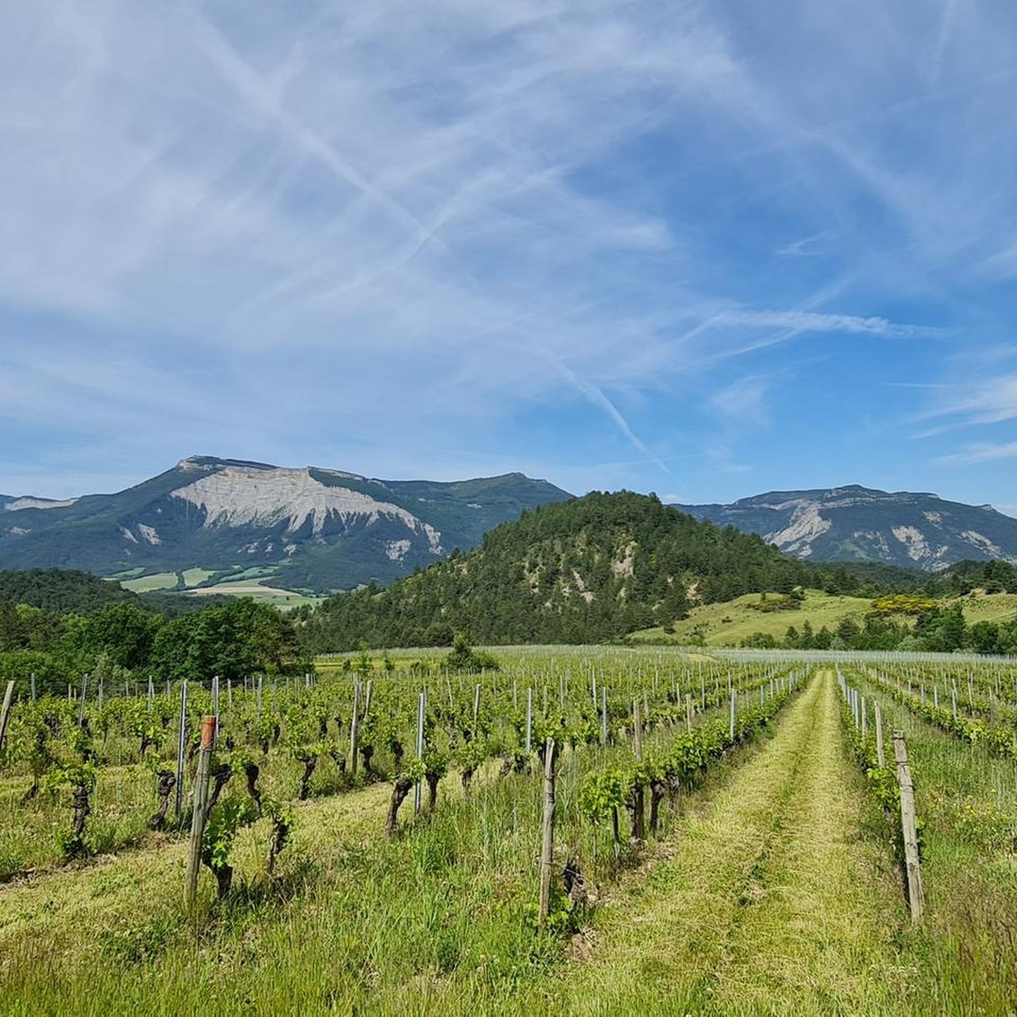
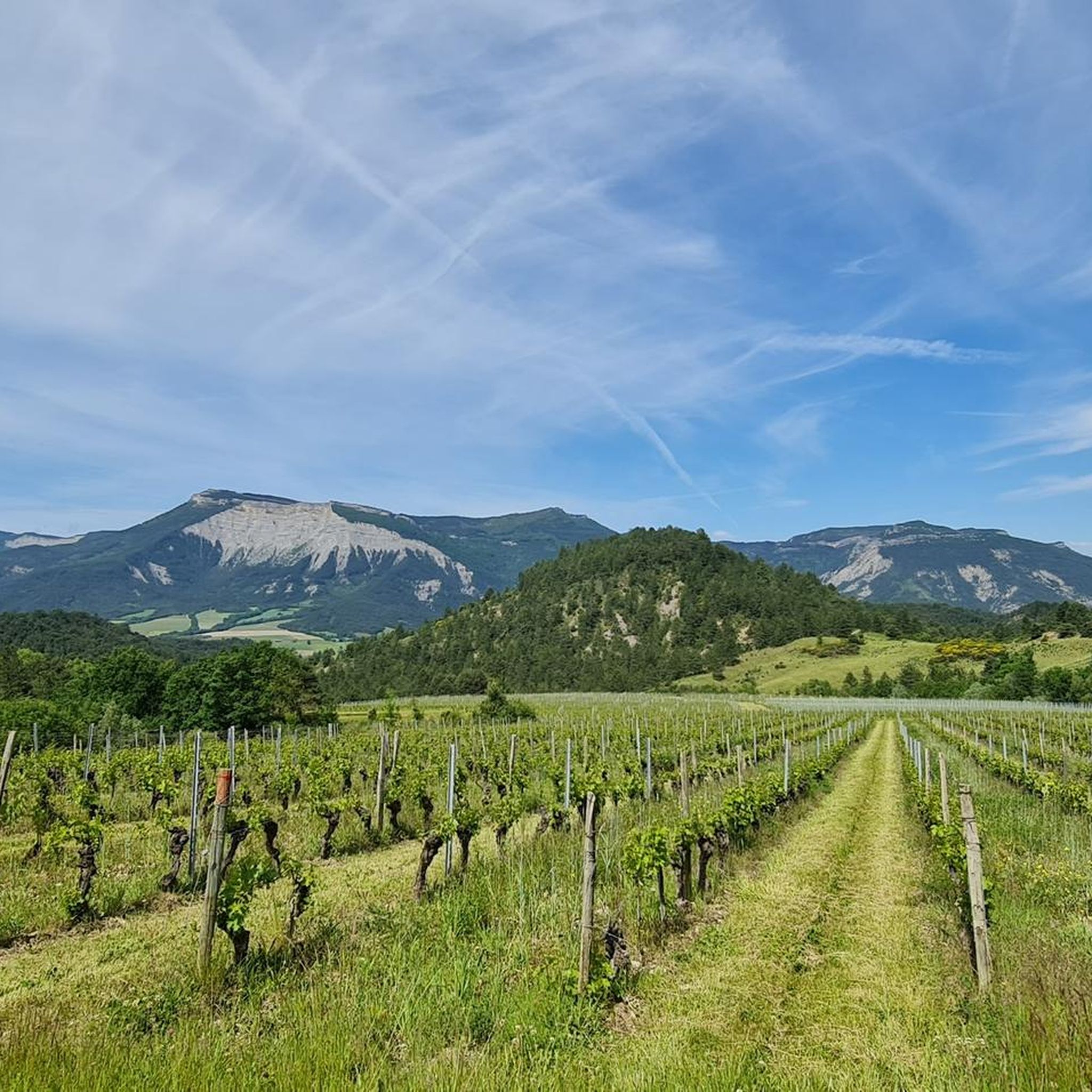
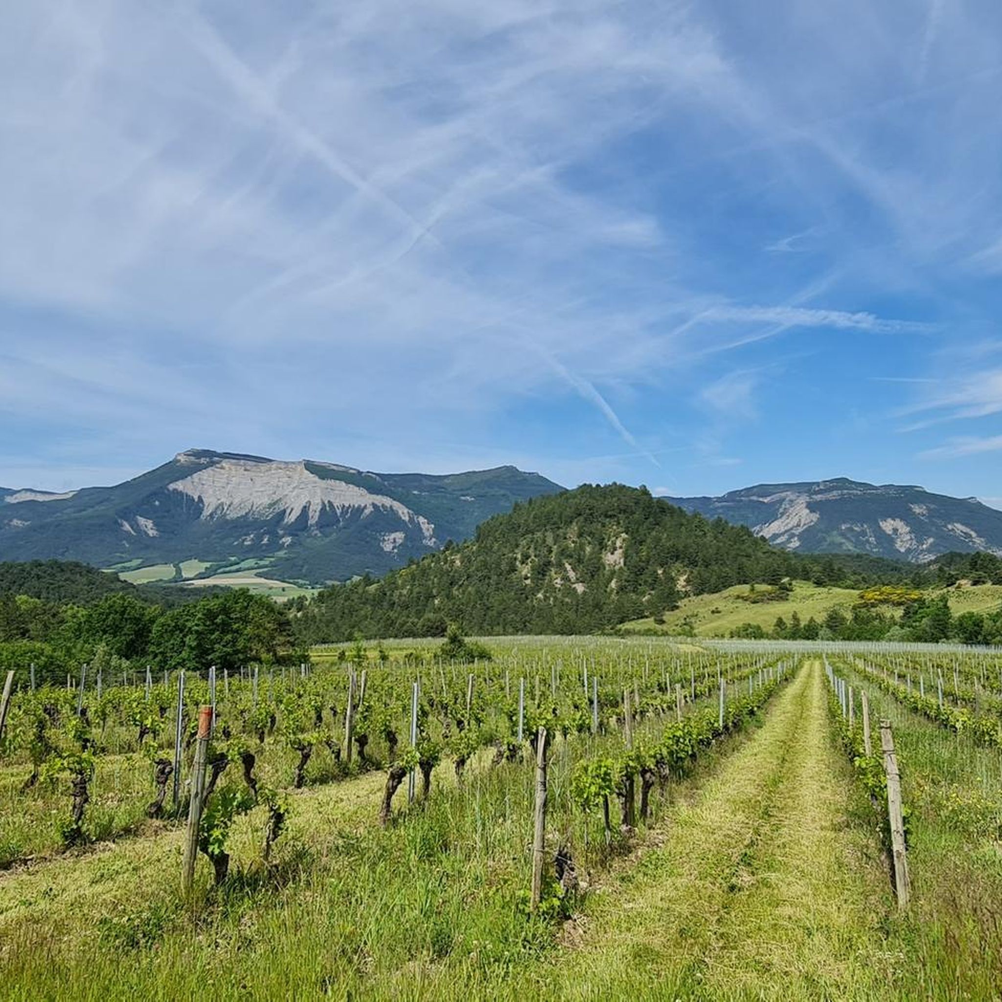
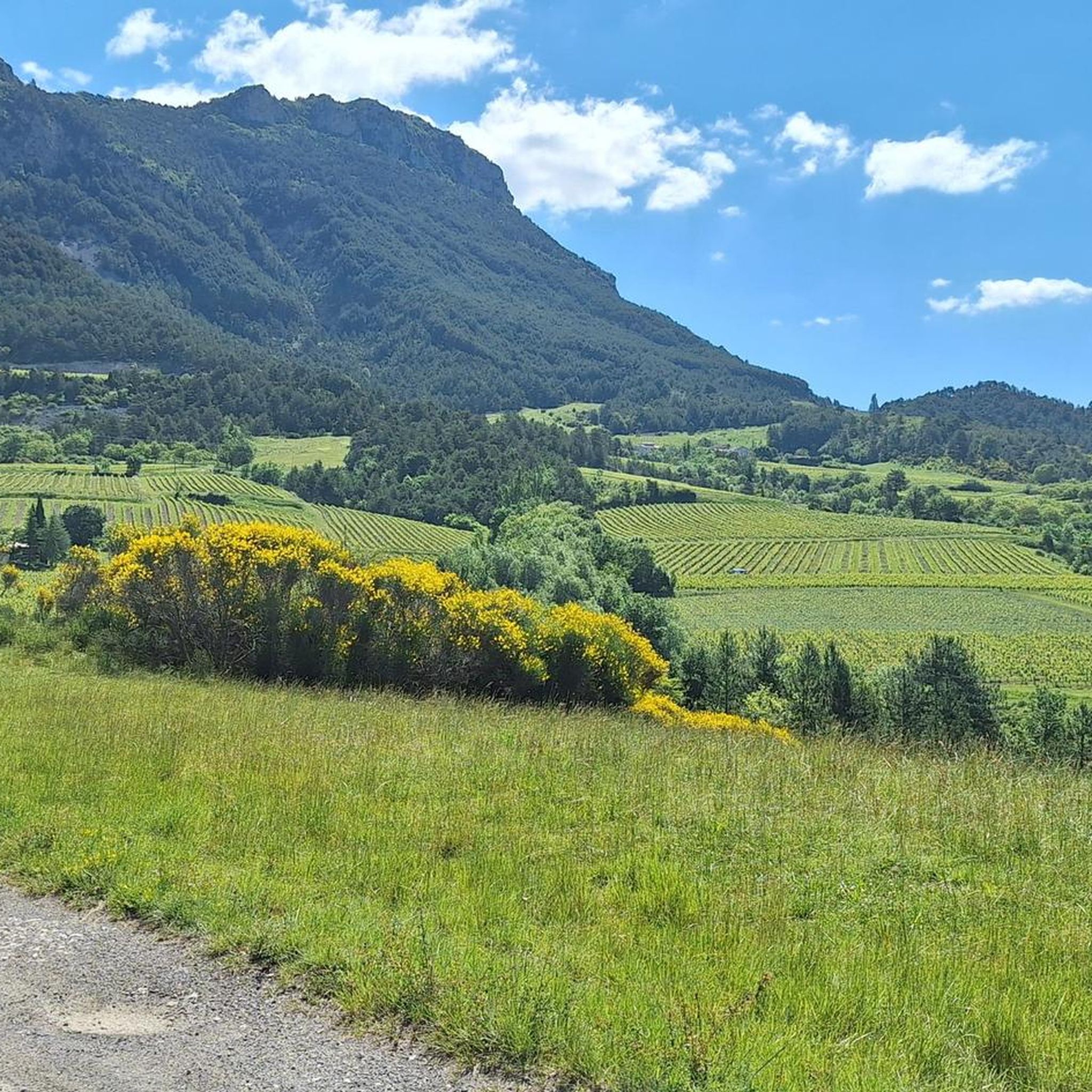
Mountaineering around Laval-D'Aix offers a diverse landscape characterized by varied elevations and mountain passes. The region provides a mix of challenging ascents and moderate trails, often winding through forested areas and open terrain. These routes allow for exploration of the local mountainous environment, with opportunities to experience different types of alpine scenery.
Best mountaineering routes around Laval-D'Aix
- The most popular mountaineering route is Selle Pass loop from Richardière, a 9.8 miles (15.8 km) trail that takes 6 hours 55…
Last updated: July 5, 2026
5.0
(1)
9
hikers
16.9km
07:14
1,000m
1,000m
Hard mountaineering route. Very good fitness required. Sure-footedness, sturdy shoes and alpine experience required.
8
hikers
2.07km
01:07
170m
170m
Hard mountaineering route. Great for any fitness level. Sure-footedness, sturdy shoes and alpine experience required.

Sign up for free
5.0
(1)
4
hikers
11.5km
03:55
560m
560m
Moderate mountaineering route. Good fitness required. Easily-accessible paths. Suitable for all skill levels.
5.0
(2)
3
hikers
8.84km
03:06
500m
500m
Moderate mountaineering route. Good fitness required. Easily-accessible paths. Suitable for all skill levels.
5.0
(2)
4
hikers
12.6km
04:16
610m
610m
Moderate mountaineering route. Good fitness required. Easily-accessible paths. Suitable for all skill levels.
Our route recommendations are based on thousands of hikes, rides, and runs completed by other people on komoot.
Start today with a free account
Your next adventure awaits.
Login or Signup
Tips from the Community


Breathtaking view of the two very distinctive peaks.
1
0

A great place! From here you have an excellent view of the surrounding mountains, especially the ridge of the Grand Veymont and (it feels like) the entire Vercor plateau When I climbed in September 2023, the access from the south (as here in the Komoot tour suggestions) was closed due to construction work. I therefore had to start from the east, see my tour.
0
0

Path is 30 cm wide. Next to it an abyss. Stay away if you suffer from vertigo.
0
0

hello, I am new to this site, Komoot announces 2 to 3 days to do this beautiful hike, is this real? or simply an error on their part? Sincerely
0
1

The old town of Die is worth a visit, it is full of artisan shops and good products to eat (restaurants, bakery, etc.) In the town center you will find the Vélodrome store to help you with your bikes or to rent.
1
0

Frequently Asked Questions
What kind of mountaineering routes can I find around Laval-D'Aix?
Laval-D'Aix offers a mix of moderate and difficult mountaineering routes. You'll find trails winding through forested areas, open terrain, and mountain passes, providing diverse alpine scenery. The region is characterized by varied elevations and mountain passes, catering to different experience levels.
Are there any challenging mountaineering routes for experienced climbers?
Yes, for those seeking a challenge, the region offers difficult routes. An example is the Selle Pass loop from Richardière, a 9.8-mile (15.8 km) trail with significant elevation gain through a mountain pass, typically taking almost 7 hours to complete. Another challenging option is the shorter Mountaineering loop from Point de Vue du Col du Rousset, which offers panoramic views.
What are some moderate mountaineering options in the area?
For moderate mountaineering, consider the Die – Pas de Gralatte loop from Die, a 7.1-mile (11.5 km) trail that takes about 4 hours through varied terrain including a mountain pass. Another good choice is the But de Nève loop from Col de Rousset, which is 5.5 miles (8.8 km) long.
Are there any circular mountaineering trails around Laval-D'Aix?
Many of the routes in the area are circular, allowing you to start and end at the same point. Examples include the Die – Pas de Gralatte loop from Die and the La Croix de Justin loop from Die, both offering varied terrain and scenic views.
What can I see along the mountaineering routes in Laval-D'Aix?
The routes often pass by notable peaks and mountain passes. You might encounter summits like But Sapiau or Pié Ferré (Le Dôme). Significant passes such as Col de Rousset and Col de Pennes are also prominent features, offering expansive views.
Are there any interesting landmarks or viewpoints to look out for?
Yes, the region features several points of interest. You can find Justin's Cross, which is a notable viewpoint. Additionally, the routes often traverse mountain passes like Bachassons Pass, providing scenic vistas of the surrounding landscape.
What do other mountaineers say about the routes in Laval-D'Aix?
The mountaineering routes around Laval-D'Aix are highly regarded by the komoot community, holding an average rating of 5.0 stars from over 6 reviews. Many mountaineers appreciate the diverse terrain, from forested slopes to open valleys, and the opportunities to explore various mountain passes.
How many mountaineering routes are available in Laval-D'Aix?
There are at least 5 distinct mountaineering routes detailed for the Laval-D'Aix area, offering a range of distances and difficulties to explore.
What is the typical elevation gain on these routes?
Elevation gain varies significantly across the routes. For instance, the Selle Pass loop from Richardière involves nearly 1000 meters (3280 feet) of ascent, while moderate routes like the But de Nève loop from Col de Rousset have around 500 meters (1640 feet) of elevation gain.
Is Laval-D'Aix suitable for mountaineering beginners?
While some routes are challenging, there are moderate options that could be suitable for beginners with a good level of fitness and appropriate gear. Routes like the La Croix de Justin loop from Die offer a good introduction to the region's terrain without extreme difficulty.
What is the best time of year for mountaineering in Laval-D'Aix?
The best time for mountaineering in Laval-D'Aix generally depends on the specific route and current conditions. Spring through autumn typically offers the most favorable weather, with less snow at higher elevations. Always check local weather forecasts and trail conditions before heading out, especially for higher mountain passes.
Most popular routes around Laval-D'Aix
Most popular attractions around Laval-D'Aix

Get inspired with the komoot mobile app


Explore more
Browse the best Mountain Hikes & Routes in other regions.
